 Block
Madison, Tennessee
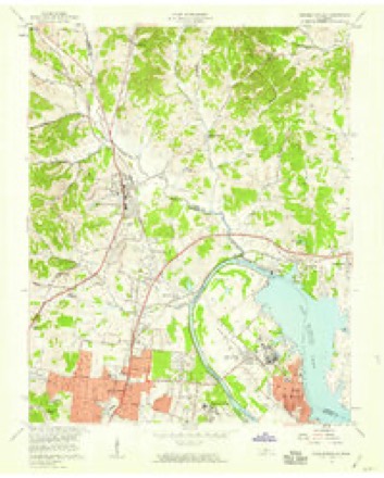
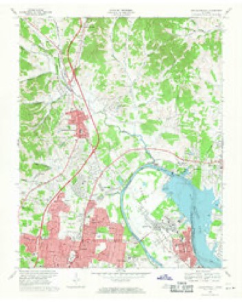
15 topographic sheets cover this place, the earliest surveyed in 1903 and the latest in 1984. It stands in District 9. It lies in ZIP code area 37115. It stands on Gibson Creek. The Survey maps it on the Goodlettsville quadrangle.
On record in Madison
Buildings and businesses the archive holds for this place. Each opens its own page, with the source record it came from.
On the National Register 3 records
 Robert Chadwell Houselisted 1989
 Rainbow Ranchlisted 2018
 Smith-Carter Houselisted 2018
Topographic sheets covering this place
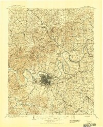
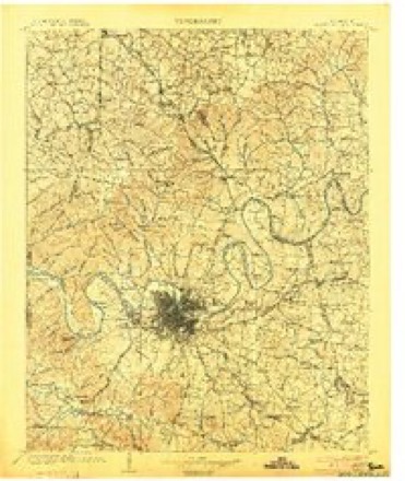
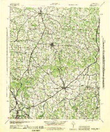
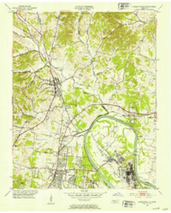
9 surveys from 15 printed sheetsMatched by testing this settlement's coordinate against the published boundary of every sheet in the United States Geological Survey's historical collection. Each opens the scanned sheet at the Survey.
- 1903 USGS Greenbrier quadrangle1:125000, 2 printings
- 1903 USGS Nashville quadrangle1:125000, 2 printings
- 1942 USGS Gallatin quadrangle1:100000
- 1952 USGS Goodlettsville quadrangle1:24000
- 1956 USGS Nashville quadrangle1:250000, 2 printings
- 1957 USGS Goodlettsville quadrangle1:24000
- 1959 USGS Nashville quadrangle1:250000
- 1968 USGS Goodlettsville quadrangle1:24000, 4 printings
- 1984 USGS Nashville quadrangle1:100000



Mines and quarries near this place
4 within 5 milesRegional context, not property-specific evidence. The federal mineral resources record lists 4 workings within 5 miles of Madison: 4 past producers. None of them still produces. What was taken out: Lead, Zinc, Fluorine-Fluorite, Barium-Barite, Barium-Barite, Fluorine-Fluorite, Lead, Zinc. Distance is straight-line from the map coordinates, so a quarry counted here may appear on a neighbouring settlement's page as well.
| Where | Site | Commodity | Status | Recorded |
|---|---|---|---|---|
| Madison Quarry | Limestone, General | Past Producer | Sedimentary | |
| Madison Quarry | Stone, Crushed/Broken | Past Producer | ||
| National Cemetery Mine | Lead, Zinc, Fluorine-Fluorite, Barium-Barite | Past Producer | 1843 | |
| National Cemetery Mine | Barium-Barite, Fluorine-Fluorite, Lead, Zinc | Past Producer |
Storms near this place
38 since 1996Regional context, not property-specific evidence. The National Weather Service names Madison in 38 storm reports between 1996 and 2025: 17 thunderstorm wind, 11 hail, 3 flash flood, 2 funnel cloud. The reports record 3 deaths and 23 injuries. Each account below is quoted exactly as the forecast office filed it, from the NOAA Storm Events Database, and each date opens the federal record of that event.
| When | Event | Place named | Harm | What the report says |
|---|---|---|---|---|
| December 2023 | Tornado (EF2) | Madison | 3 killed, 21 hurt, $10,000,000 | This strong EF-2 tornado touched down just to the east of I-24 on Brick Church Lane in Davidson County. There were a few trees down and shingle damage to several homes in this area. The tornado strengthened in the Madison area causing EF-2 damage with winds up to 120-125 mph. The heaviest damage was confined to two areas, off of East Campbell Road as well as Nesbitt Lane. Multiple mobile homes were destroyed on Nesbitt Lane, and this is where three fatalities occurred. Multiple single family homes and a church off of East Campbell Road were missing large sections of their roofs with some exterior walls collapsed. Several metal power poles in the area were bent as well. Nearby, an apartment complex off Palmer Avenue sustained damage. As the tornado moved further northeast, substantial damage was found to houses in a cul-de-sac on Stoney River Lane. Two buildings were toppled and several others damaged in an industrial complex off of Myatt Drive. The tornado then continued across the Cumberland River and Old Hickory Lake, coming onshore again in the immediate dam vicinity. It is this location in which the strongest winds were found, up to 130 miles per hour, due to substantial damage to a grove of hundreds of trees in which all of them were either snapped, uprooted, or missing major branches. The tornado persisted into Hendersonville, downing hundreds of trees and causing roof damage to multiple homes. It damaged many businesses along Main Street. The tornado continued northeast into Gallatin where EF-2 damage with maximum winds of 115 mph was found to a few homes in the Club at Foxland Harbor as we as the Foxland Harbor Golf and Country Club. At this point, the tornado began to weaken though EF-1 damage was found as it crossed Highway 109 and Steam Plant Road. Several trees were still found to be uprooted along with minor roof and shingle damage to a couple of homes as the tornado crossed Hartsville Pike. Scattered trees continued to be blown down along Lauderdale Lane and Homer Scott Road before the tornado crossed Highway 231 into Trousdale County. Trees continued to be blown down on Browning Branch Road and a home suffered significant roof and porch damage on Hawkins Branch Road. Trees continued to be blown down until the tornado lifted near Shephard Hollow Lane. Around 600 homes and businesses were damaged in Sumner County. |
| January 1997 | Thunderstorm Wind | Madison | 2 hurt, $500,000 | no account filed |
| July 2010 | Tornado (EF1) | Madison | $200,000 | National Weather Service and Metro Nashville Office of Emergency Management Officials surveyed damage in Northern Davidson County. Most of the surveyed damage, including Trail Hollow Lane just west of Interstate 24, and communities along Brick Church Pike from Northbrook Drive south to Briley Parkway, was from microburst winds. A semi-trailer was blown over, dozens of trees were snapped and uprooted, and several roofs suffered minor damage. Maximum winds in these areas were around|80 mph.||Further north, areas along Westchester Drive experienced much more significant damage. Approximately 12 brick homes suffered heavy roof damage, including one which had a large section of the roof removed. Two buildings were impaled by two by fours, and a couple of dozen windows were blown out. The damage pattern in this area was characterized by convergence and obvious rotation consistent with a tornado. Damage that occurred was also consistent with the highest end of the EF-1 range, 105 to 110 mph. |
| August 2023 | Lightning | Madison | $50,000 | Lightning struck a house in Inglewood, causing a fire. No injuries were known, and no information was provided on the extent of damages. |
| July 2020 | Lightning | Madison | $20,000 | Lightning struck a tree then traveled into a home in the 200 block of Ewing Drive and set it on fire. |
| June 2024 | Thunderstorm Wind | Madison | $15,000 | Several trees, tree limbs, and power lines were downed in the north Inglewood and Madison areas, including on West Marathona Road, Brush Hill Road, and Winding Way. Damages are a rough estimate. |
| November 2018 | Flash Flood | Madison | $10,000 | Video from a trained spotter showed two feet of water from Whites Creek rushing across Knight Drive at Brook Manor Drive. A nursing home and other properties in the area were flooded. |
| May 2010 | Thunderstorm Wind | Madison | $10,000 | A few trees were uprooted near the Skyline Hospital off of Dickerson Pike. |
| July 2010 | Thunderstorm Wind | Madison | $5,000 | Large tree branches were broken off resulting in power lines being downed on Chesapeake Drive. |
| April 2015 | Thunderstorm Wind | Madison | $3,000 | Trees and power lines were blown down along Tuckahoe Road. |
| April 2025 | Thunderstorm Wind | Madison | $2,000 | Severe thunderstorm winds downed a tree onto a powerline at the corner of Diane Road and Williams Avenue in Madison. Damages are a rough estimate. |
| June 2013 | Thunderstorm Wind | Madison | $2,000 | A tree was blown down on a powerline in Madison. |
| October 2010 | Thunderstorm Wind | Madison | $2,000 | A tree was downed at 205 Holiday Drive in Madison. The tree fell onto a power line, tearing an electrical conduit from the outside of the house, and also damaged a fence. Extent of damage to the fence was unknown. |
| August 2024 | Thunderstorm Wind | Madison | $1,000 | Severe thunderstorm winds downed a tree in the Madison area. Damages are a rough estimate. |
| June 2018 | Thunderstorm Wind | Madison | $1,000 | A power pole was snapped on Brick Church Pike in north Nashville. |
| July 2013 | Thunderstorm Wind | Madison | $1,000 | Trees and limbs were reported down on Ewing Lane. |
| February 2025 | Flash Flood | Madison | - | Heavy rain in the Nashville area caused flooding and forced the closure of Interstate 65 N at mile marker 91. Damages are unknown. |
| February 2025 | Flash Flood | Madison | - | Heavy rain in the Nashville area caused flooding and forced the closure of Interstate 24 at mile marker 43. Damages are unknown. |
| December 2023 | Hail | Madison | - | Dime size hail was reported near Madison. |
| August 2021 | Heavy Rain | Madison | - | Heavy rain reported with 2.6 measured in about 45 minutes. |
| October 2011 | Hail | Madison | - | Penny size hail was reported in Madison. |
| June 2010 | Thunderstorm Wind | Madison | - | A 58 mph wind gust was measured by a storm spotter near Skyline Medical Center. |
| May 2009 | Hail | Madison | - | Penny size hail was reported on Brick Church Lane near the intersection with Knight Road. |
| May 2009 | Hail | Madison | - | Nickel size hail was reported at the intersection of Interstate 24 and Briley Parkway. |
| June 2009 | Funnel Cloud | Madison | - | Funnel cloud was reported near Skyline Medical Center. |
| February 2008 | Hail | Madison | - | Golf ball size hail reported in Madison. |
| April 2006 | Hail | Madison | - | Coop observer reported penny size hail at Peterbilt Factory. |
| August 2005 | Thunderstorm Wind | Madison | - | 2 trees were blown down. |
| April 2002 | Thunderstorm Wind | Madison | - | Spotter reported trees were blown down. |
| August 2002 | Thunderstorm Wind | Madison | - | NWS employee reported numerous trees were down near Anderson Road, between Myatt Drive and Gallatin Road. |
| August 2002 | Thunderstorm Wind | Madison | - | SKYWARN spotter reported trees were blown down. |
| April 1999 | Hail | Madison | - | Spotter reported quarter size hail. |
| August 1999 | Funnel Cloud | Madison | - | EMA office relayed a public report of a funnel cloud at Gallatin Road and Old Hickory Blvd. |
| April 1998 | Hail | Madison | - | Sheriff reported dime size hail. |
| April 1998 | Hail | Madison | - | Ham radio operator reported quarter size hail. |
| February 2005 | Hail | Madison | - | no account filed |
| March 1997 | Hail | Madison | - | no account filed |
| July 1996 | Thunderstorm Wind | Madison | - | no account filed |
Nearest settlements
The eight closest, with where each one stands in the county. Distances are straight-line, computed from the Geographic Names Information System coordinates.
| Map | Place | Distance | Sheets |
|---|---|---|---|
| Walton (historical) | 0.0 miles | 15 | |
| Montague | 0.6 miles | 21 | |
| Amqui | 1.4 miles | 15 | |
| Haysboro | 1.6 miles | 21 | |
| Loveville (historical) | 1.8 miles | 21 | |
| Maplewood | 2.0 miles | 21 | |
| Edenwold | 2.6 miles | 15 | |
| Rayon City | 2.8 miles | 15 |
Provenance
This settlement is recorded in the Geographic Names Information System as feature 1292483. The sheet list is computed by point-in-boundary test against the United States Geological Survey's historical topographic inventory. Both are works of the United States government and carry no copyright under 17 U.S.C. 105.
Mines and quarries. USGS Mineral Resources Data System (MRDS) https://mrdata.usgs.gov/mrds/ A work of the United States government, no copyright under 17 U.S.C. 105.
Storms. NOAA National Centers for Environmental Information, Storm Events Database https://www.ncei.noaa.gov/stormevents/ A work of the United States government, no copyright under 17 U.S.C. 105. Narratives are quoted verbatim from the National Weather Service report and are not edited or summarised.