 Block
Maplewood, Tennessee
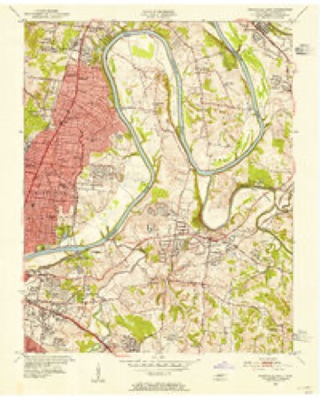
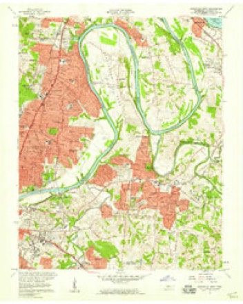
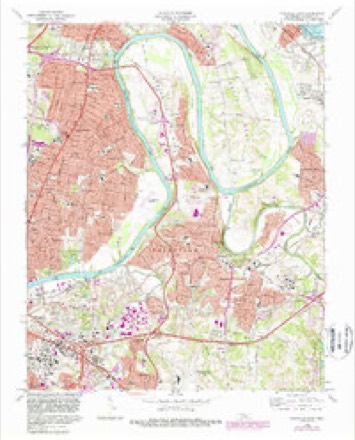
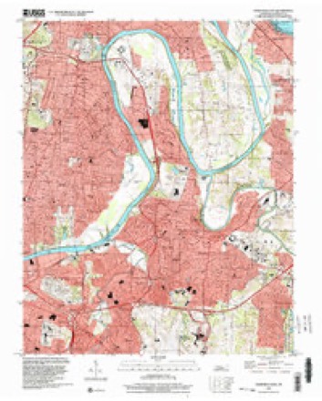
21 topographic sheets cover this place, the earliest surveyed in 1903 and the latest in 1997. It stands in District 7. It lies in ZIP code area 37216. It stands on Loves Branch. The Survey maps it on the Nashville East quadrangle.
On record in Maplewood
Buildings and businesses the archive holds for this place. Each opens its own page, with the source record it came from.
On the National Register within a mile 3 records
The National Register names another town for these. They stand within one mile of this settlement's coordinate.
- Tanglewood Historic District (Boundary Increase)listed 1999 · 0.8 miles away
- Nashville National Cemeterylisted 1996 · 0.8 miles away
- Jackson Park Historic Districtlisted 2016 · 0.8 miles away
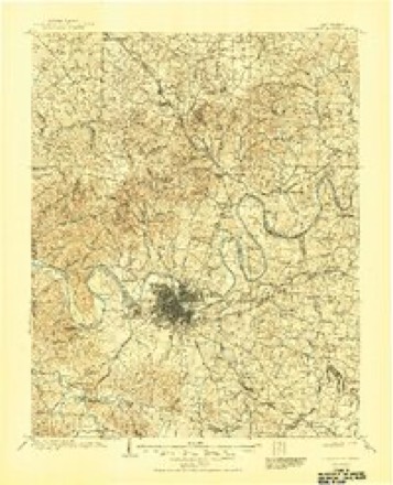
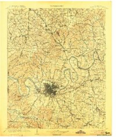
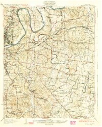
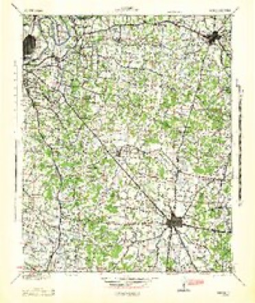
Topographic sheets covering this place
11 surveys from 21 printed sheetsMatched by testing this settlement's coordinate against the published boundary of every sheet in the United States Geological Survey's historical collection. Each opens the scanned sheet at the Survey.
- 1903 USGS Greenbrier quadrangle1:125000, 2 printings
- 1903 USGS Nashville quadrangle1:125000, 2 printings
- 1932 USGS Hermitage quadrangle1:62500, 3 printings
- 1942 USGS Lebanon quadrangle1:100000
- 1952 USGS Nashville East quadrangle1:24000
- 1956 USGS Nashville quadrangle1:250000, 2 printings
- 1957 USGS Nashville East quadrangle1:24000, 2 printings
- 1959 USGS Nashville quadrangle1:250000
- 1968 USGS Nashville East quadrangle1:24000, 5 printings
- 1984 USGS Nashville quadrangle1:100000
- 1997 USGS Nashville East quadrangle1:24000



Mines and quarries near this place
10 within 5 milesRegional context, not property-specific evidence. The federal mineral resources record lists 10 workings within 5 miles of Maplewood: 6 past producers, 4 producers. 4 still produce. What was taken out: Clay, Stone, Crushed/Broken, Sand and Gravel, Construction, Stone, Crushed/Broken, Limestone, General. Distance is straight-line from the map coordinates, so a quarry counted here may appear on a neighbouring settlement's page as well.
| Where | Site | Commodity | Status | Recorded |
|---|---|---|---|---|
| Herbert Sand Yard | Sand and Gravel, Construction | Producer | ||
| Madison Quarry | Limestone, General | Past Producer | Sedimentary | |
| Nashville Plant | Stone, Crushed/Broken, Limestone, General | Producer | Limestone | |
| National Cemetery Mine | Lead, Zinc, Fluorine-Fluorite, Barium-Barite | Past Producer | 1843 | |
| National Cemetery Mine | Barium-Barite, Fluorine-Fluorite, Lead, Zinc | Past Producer | ||
| Madison Quarry | Stone, Crushed/Broken | Past Producer | ||
| Nashville Quarry | Stone, Crushed/Broken | Producer | ||
| Mat-Nel No. 1 Pit | Clay | Producer | 1950 | |
| Mat-Nel Number 1 Pit | Clay | Past Producer | Sedimentary | |
| Mat-Nel Number 1 Pit | Clay | Past Producer |
Storms near this place
19 since 2008Regional context, not property-specific evidence. The National Weather Service names Maplewood in 19 storm reports between 2008 and 2025: 13 thunderstorm wind, 3 heavy rain, 2 hail, 1 lightning. No death or injury is recorded in these reports. Each account below is quoted exactly as the forecast office filed it, from the NOAA Storm Events Database, and each date opens the federal record of that event.
| When | Event | Place named | Harm | What the report says |
|---|---|---|---|---|
| December 2021 | Thunderstorm Wind | Maplewood | $250,000 | Severe straight-line winds caused significant damage in Madison across a roughly 1/2 mile wide by 2 mile long swath from Briley Parkway at Gallatin Pike northeastward to Neelys Bend Road. Numerous trees were snapped and uprooted, especially in the National Cemetery and Spring Hill Cemetery. The roof was blown off part of the St. Joseph School, and a large sign was blown down on Gallatin Pike. Several homes also suffered minor roof damage. Winds were estimated up to 85 mph. |
| February 2011 | Thunderstorm Wind | Maplewood | $50,000 | Near the Opryland Golf Course in northeast Nashville, dozens of large hardwood trees were uprooted. Some lost shingles noted on house roofs. |
| July 2023 | Thunderstorm Wind | Maplewood | $10,000 | A #tspotter reported trees and power lines down in Madison. Damages are a rough estimate. |
| May 2011 | Thunderstorm Wind | Maplewood | $10,000 | Several trees were reported downed in Madison. |
| July 2023 | Thunderstorm Wind | Maplewood | $5,000 | Severe thunderstorm winds downed trees and powerlines along Saunders Avenue in Nashville, blocking the roadway. Damages are a rough estimate. |
| March 2021 | Thunderstorm Wind | Maplewood | $5,000 | TSpotter report of multiple large trees down on Burrus Street and Porsha Drive between Curdwood Blvd and Broadmoor Drive in Inglewood. |
| June 2019 | Thunderstorm Wind | Maplewood | $5,000 | Numerous trees were blown down on Cedarwood Drive trapping residents in their homes. |
| January 2022 | Thunderstorm Wind | Maplewood | $3,000 | A tree was blown down into a home in Madison near Donna Drive at Norman Drive. |
| July 2008 | Thunderstorm Wind | Maplewood | $2,000 | Power lines were down at Maple Street and Gallatin Avenue South. |
| June 2016 | Thunderstorm Wind | Maplewood | $1,000 | Small to medium size tree blown down in Madison. |
| July 2016 | Thunderstorm Wind | Maplewood | $1,000 | Tree down blocking Riverwood Drive. |
| April 2015 | Thunderstorm Wind | Maplewood | $1,000 | A tree was blown down blocking Pennington Bend Road near Grace Church. |
| July 2015 | Thunderstorm Wind | Maplewood | $1,000 | A Facebook report indicated a large tree was blown down in the backyard of a home at 915 Broadmoor Drive in Inglewood. |
| July 2013 | Lightning | Maplewood | $1,000 | A lightning strike caused a fire in the backyard of a home at 2729 Riverbend Drive in the Pennington Bend area of northeast Nashville. |
| May 2025 | Hail | Maplewood | - | Quarter size hail was reported near McGavock Pike and Briley Parkway in Inglewood. |
| June 2018 | Hail | Maplewood | - | A Twitter tSpotter report indicated pea to dime size hail fell in the Opryland area, along with a peak wind gust of 48 mph and 1.81 inches of rain falling in 35 minutes. |
| July 2016 | Heavy Rain | Maplewood | - | CoCoRaHS station Madison 1.2 WSW measured a 24 hour rainfall total of 4.59 inches. |
| July 2016 | Heavy Rain | Maplewood | - | CoCoRaHS station Nashville 5.0 NE measured a 24 hour rainfall total of 4.80 inches. |
| August 2013 | Heavy Rain | Maplewood | - | A two-day rainfall total of 7.90 inches was measured at CoCoRaHS station Madison 1.2 WSW. |
Nearest settlements
The eight closest, with where each one stands in the county. Distances are straight-line, computed from the Geographic Names Information System coordinates.
| Map | Place | Distance | Sheets |
|---|---|---|---|
| Loveville (historical) | 0.8 miles | 21 | |
| Haysboro | 0.9 miles | 21 | |
| Inglewood | 1.1 miles | 21 | |
| Montague | 1.4 miles | 21 | |
| Dalewood | 1.8 miles | 21 | |
| Walton (historical) | 2.0 miles | 15 | |
| Madison | 2.0 miles | 15 | |
| Parkwood Estates | 2.7 miles | 17 |
Provenance
This settlement is recorded in the Geographic Names Information System as feature 1292646. The sheet list is computed by point-in-boundary test against the United States Geological Survey's historical topographic inventory. Both are works of the United States government and carry no copyright under 17 U.S.C. 105.
Mines and quarries. USGS Mineral Resources Data System (MRDS) https://mrdata.usgs.gov/mrds/ A work of the United States government, no copyright under 17 U.S.C. 105.
Storms. NOAA National Centers for Environmental Information, Storm Events Database https://www.ncei.noaa.gov/stormevents/ A work of the United States government, no copyright under 17 U.S.C. 105. Narratives are quoted verbatim from the National Weather Service report and are not edited or summarised.