 Block
Sandhill, Tennessee
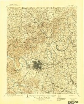
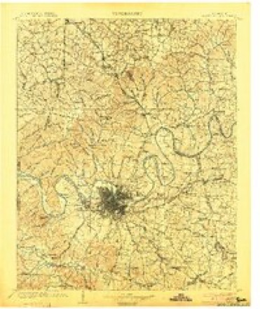
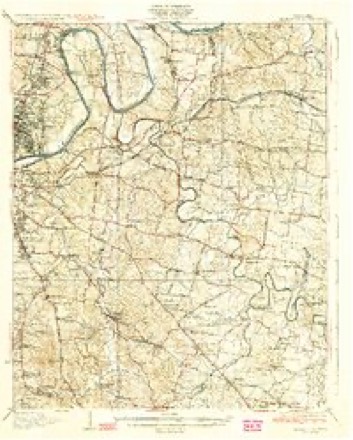
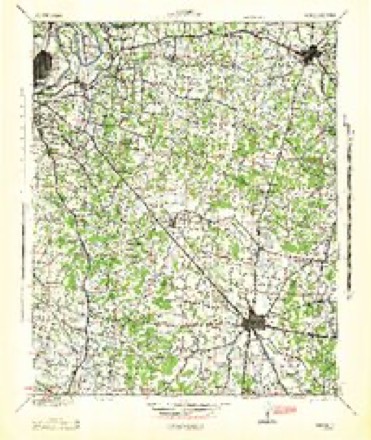
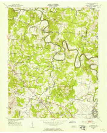
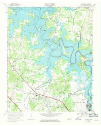
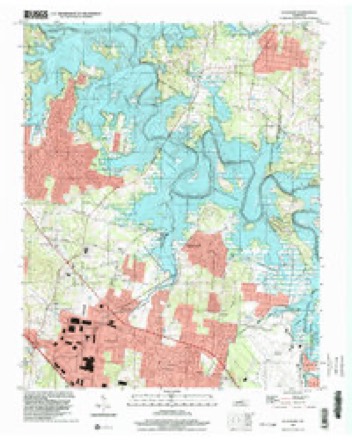
18 topographic sheets cover this place, the earliest surveyed in 1903 and the latest in 1997. It stands in District 5. It lies in ZIP code area 37086. The Survey maps it on the La Vergne quadrangle.
Topographic sheets covering this place
10 surveys from 18 printed sheetsMatched by testing this settlement's coordinate against the published boundary of every sheet in the United States Geological Survey's historical collection. Each opens the scanned sheet at the Survey.
- 1903 USGS Greenbrier quadrangle1:125000, 2 printings
- 1903 USGS Nashville quadrangle1:125000, 2 printings
- 1932 USGS Hermitage quadrangle1:62500, 3 printings
- 1942 USGS Lebanon quadrangle1:100000
- 1952 USGS La Vergne quadrangle1:24000, 2 printings
- 1956 USGS Nashville quadrangle1:250000, 2 printings
- 1959 USGS Nashville quadrangle1:250000
- 1968 USGS La Vergne quadrangle1:24000, 3 printings
- 1984 USGS Nashville quadrangle1:100000
- 1997 USGS La Vergne quadrangle1:24000



Fires near this place
3 since 1997Regional context, not property-specific evidence. The federal wildfire occurrence database lists 3 fires within 5 miles of Sandhill between 1997 and 1998, burning about 10 acres in total. None started naturally. None was recorded as arson. Distance is straight-line from the map coordinates, so a fire counted here may appear on a neighbouring settlement's page as well.
| Reported cause | Fires |
|---|---|
| Debris and open burning | 2 |
| Smoking | 1 |
The most recent of them, most recent first, with the day each was reported and the service that recorded it.
| Date | Cause | Size | Reported by | Name on the report |
|---|---|---|---|---|
| 26 September 1998 | Smoking | 3.0 acres | Tennessee Division of Forestry | not named |
| 3 August 1998 | Debris and open burning | 5.3 acres | Tennessee Division of Forestry | not named |
| 19 February 1997 | Debris and open burning | 2.0 acres | Tennessee Division of Forestry | not named |
Settlements close enough to share some of these fires:
Storms near this place
22 since 2011Regional context, not property-specific evidence. The National Weather Service names Sandhill in 22 storm reports between 2011 and 2025: 16 thunderstorm wind, 3 flash flood, 1 flood, 1 tornado. The reports record 1 injury. Each account below is quoted exactly as the forecast office filed it, from the NOAA Storm Events Database, and each date opens the federal record of that event.
| When | Event | Place named | Harm | What the report says |
|---|---|---|---|---|
| March 2017 | Thunderstorm Wind | Sandhill | 1 hurt, $30,000 | A large downburst associated with the rear flank downdraft of the Cool Springs and Four Corners Marina tornadoes caused damage across a wide swath of northeast Williamson, far southeast Davidson, and far northwest Rutherford Counties. In Williamson County, dozens of trees were snapped and uprooted from the Concord Pass area across Waller Road, Forest Trail, and Nolensville Pike, with minor roof and siding damage to numerous homes and a few trees falling on outbuildings and houses. One duplex on Nolensville Pike was heavily damaged by multiple trees falling onto it. ||In Davidson County, trees and power poles were blown down on Pettus Road, and several other trees were snapped and uprooted on Burkitt Road and near Cane Ridge Park. TDOT reported trees down at 13390 Old Hickory Blvd. Several tall power poles were blown down on Nashville Highway near Hickory Woods Drive, and scattered trees were snapped or uprooted in the Hickory Woods Estates and Peppertree Forest subdivisions. ||In Rutherford County, a large truck parked at 1325 Heil Quaker Road in La Vergne was blown over, injuring a man inside who was transported to the hospital. Scattered trees were also snapped and uprooted across the Lake Forest subdivision, where one house was severely damaged by a fallen tree on Frontier Lane. Several more homes suffered roof and siding damage on Cedar Bend Lane, Angel Way Court, and Hollandale Road. Winds in this 12 mile long by 2 mile wide downburst were estimated around 80 mph. |
| April 2014 | Thunderstorm Wind | Sandhill | $25,000 | An NWS Storm Survey team determined that a downburst with winds estimated up to 80 mph struck areas from La Vergne to Lascassas. The roofs of a BP gas station and a car wash on Sam Ridley Parkway East near Weakley Lane in Smyrna were blown off. Several carports of homes were damaged around Central Valley Road at Webb Lane in Walterhill. Telephone poles were snapped in the 1400 block of West Jefferson Pike in Walterhill. Numerous trees and power lines were blown down all along the path. |
| May 2011 | Thunderstorm Wind | Sandhill | $25,000 | Several trees and power lines were downed between Smyrna and La Vergne. |
| June 2012 | Thunderstorm Wind | Sandhill | $15,000 | A microburst caused wind damage along a 1 mile long east to west swath in La Vergne. Two businesses suffered blown in metal doors, loss of metal siding, and broken windows on Sand Hill Road. Trees were blown down on Stones River Road. One tree fell on a house on Scenic Drive. A power line was blown down on Mercury Drive. |
| December 2021 | Thunderstorm Wind | Sandhill | $10,000 | Trees were blown down in parts of LaVergne including a tree on a house on Pearcy Street. |
| August 2019 | Thunderstorm Wind | Sandhill | $10,000 | Numerous trees and power lines were blown down across the Lake Forest subdivision in La Vergne with some falling on cars and homes. |
| July 2015 | Thunderstorm Wind | Sandhill | $10,000 | Three trees were blown down at Stones River Road and Lavergne Lane with one tree falling on a house. |
| May 2012 | Thunderstorm Wind | Sandhill | $10,000 | Several trees and large limbs were blown down near Veterans Memorial Park. |
| May 2012 | Thunderstorm Wind | Sandhill | $10,000 | Numerous trees and large limbs were blown down in the Lake Forest Subdivision. |
| August 2019 | Thunderstorm Wind | Sandhill | $5,000 | Facebook photos showed extensive siding blown off a home at 269 Hollandale Road. |
| March 2017 | Tornado (EF0) | Sandhill | $5,000 | An EF-0 tornado touched down in extreme southeast Davidson County near Murfreesboro Pike and Old Hickory Blvd around 717am CST. It cause sporadic damage mainly to trees as it raced to the northeast, although a few homes suffered minor roof damage on Lavergne Couchville Pike, Pepperwood Drive, and Chutney Drive. It then hit the Four Corners Marina around 719am CST and caused extensive damage to docks, boats and shelters. The tornado crossed the Hurricane Creek inlet of Percy Priest Lake into Rutherford County, then blew down a few trees and deposited debris from the marina on the eastern shore of the lake. The tornado then lifted near the northern end of Stones River Road. |
| May 2012 | Thunderstorm Wind | Sandhill | $5,000 | A tree fell on a home on Clearlake Drive in La Vergne. Details concerning any damage that occurred to the home were unknown. |
| May 2011 | Thunderstorm Wind | Sandhill | $5,000 | Power lines were reported downed at 121 Taylor Drive in La Vergne. |
| May 2021 | Thunderstorm Wind | Sandhill | $3,000 | Report of a tree down on powerlines on Cotton Court. |
| August 2019 | Thunderstorm Wind | Sandhill | $3,000 | A Facebook report indicated trees were blown down in the Cedar Glen area of La Vergne. |
| July 2015 | Thunderstorm Wind | Sandhill | $1,000 | A Twitter tSpotter report indciated a tree was snapped at the corner of Forest Ridge Drive and Rocky Ridge Circle. |
| March 2025 | Hail | Sandhill | - | Estimated half dollar inch hail was reported from a severe thunderstorm near Walmart in La Vergne. |
| December 2021 | Thunderstorm Wind | Sandhill | - | Twitter photos showed a tree fell on a house on George Thomas Drive in La Vergne. |
| September 2020 | Flash Flood | Sandhill | - | A Twitter tSpotter report indicated street flooding was occurring between Sand Hill Cemetery and Smyrna Airport. |
| September 2020 | Flash Flood | Sandhill | - | Flood waters surrounded several homes on Mercury Drive in La Vergne. |
| March 2018 | Flash Flood | Sandhill | - | Numerous roads across Rutherford County were closed due to high water, including Armstrong Valley Road at Thompson Road, Veterans Parkway at Armstrong Valley Road, Epps Mill Road between Miller Lane and Auldridge Drive, Lassiter Road at U.S. Highway 70 South (John Bragg Highway), 2400 block of Mt. Herman Road, Elam Mill Road, Stones River Parkway between Crescent Road and Walnut Grove Road, Christiana-Fosterville Road, County Farm Road at the low water crossing, Shoemaker Road near the bridge, Ghee Lane, Vaught Road at the low water crossing, Elam Road between County Farm Road and Joe B. Jackson Parkway, Veals Road near Double Springs Road, Sulphur Springs Road near Shacklett Road, Hedgeapple Lane, Florence Road at Rebel Road, Newtown Road at the Bedford County line, and Midland-Fosterville Road at Campground Road. |
| April 2013 | Flood | Sandhill | - | Minor street flooding was reported on Fergus Road and Jones Mill Road in La Vergne. |
Nearest settlements
The eight closest, with where each one stands in the county. Distances are straight-line, computed from the Geographic Names Information System coordinates.
| Map | Place | Distance | Sheets |
|---|---|---|---|
| Morningside Acres | 1.1 miles | 18 | |
| Ponderosa | 1.3 miles | 18 | |
| Morrow | 1.3 miles | 18 | |
| Jefferson Pike | 1.3 miles | 18 | |
| Pointed Side Acres | 1.6 miles | 18 | |
| Eastwood | 1.7 miles | 18 | |
| La Vergne | 2.2 miles | 18 | |
| Loafers Corner | 2.6 miles | 13 |
Provenance
This settlement is recorded in the Geographic Names Information System as feature 1300715. The sheet list is computed by point-in-boundary test against the United States Geological Survey's historical topographic inventory. Both are works of the United States government and carry no copyright under 17 U.S.C. 105.
Wildfire. Short, Karen C. 2022. Spatial wildfire occurrence data for the United States, 1992-2020 [FPA_FOD_20221014]. 6th Edition. Fort Collins, CO: Forest Service Research Data Archive. https://doi.org/10.2737/RDS-2013-0009.6 Collected with United States Government funding and usable without additional permissions or fees.
Storms. NOAA National Centers for Environmental Information, Storm Events Database https://www.ncei.noaa.gov/stormevents/ A work of the United States government, no copyright under 17 U.S.C. 105. Narratives are quoted verbatim from the National Weather Service report and are not edited or summarised.