 Block
Scottsboro, Tennessee
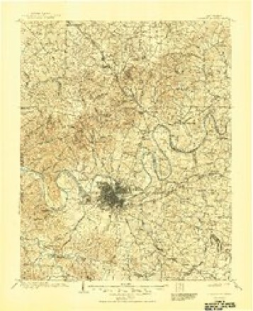
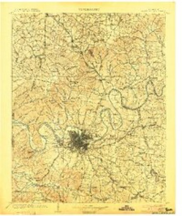
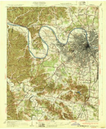
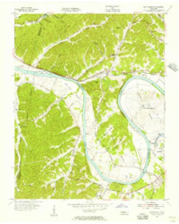
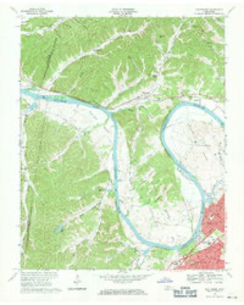
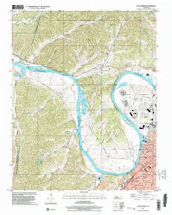
16 topographic sheets cover this place, the earliest surveyed in 1903 and the latest in 1997. It stands in District 1. It lies in ZIP code area 37218. It lies near Cullom Hollow. The Survey maps it on the Scottsboro quadrangle.
Topographic sheets covering this place
9 surveys from 16 printed sheetsMatched by testing this settlement's coordinate against the published boundary of every sheet in the United States Geological Survey's historical collection. Each opens the scanned sheet at the Survey.
- 1903 USGS Greenbrier quadrangle1:125000, 2 printings
- 1903 USGS Nashville quadrangle1:125000, 2 printings
- 1932 USGS Nashville quadrangle1:62500, 2 printings
- 1955 USGS Scottsboro quadrangle1:24000
- 1956 USGS Nashville quadrangle1:250000, 2 printings
- 1959 USGS Nashville quadrangle1:250000
- 1968 USGS Scottsboro quadrangle1:24000, 4 printings
- 1984 USGS Nashville quadrangle1:100000
- 1997 USGS Scottsboro quadrangle1:24000



Fires near this place
3 since 2007Regional context, not property-specific evidence. The federal wildfire occurrence database lists 3 fires within 5 miles of Scottsboro between 2007 and 2016, burning about 22 acres in total. None started naturally. 1 was recorded as arson. Distance is straight-line from the map coordinates, so a fire counted here may appear on a neighbouring settlement's page as well.
| Reported cause | Fires |
|---|---|
| Missing data/not specified/undetermined | 1 |
| Arson/incendiarism | 1 |
| Debris and open burning | 1 |
The most recent of them, most recent first, with the day each was reported and the service that recorded it.
| Date | Cause | Size | Reported by | Name on the report |
|---|---|---|---|---|
| 12 April 2015 | Missing data/not specified/undetermined | 4.0 acres | Tennessee Division of Forestry | LOVELL RD FIRE |
| 28 February 2007 | Debris and open burning | 12 acres | Tennessee Division of Forestry | BULL RUN |
| 1 November 2016 | Arson/incendiarism | 6.0 acres | Tennessee Division of Forestry | LIBBEL RD FIRE |
Settlements close enough to share some of these fires:
Mines and quarries near this place
9 within 5 milesRegional context, not property-specific evidence. The federal mineral resources record lists 9 workings within 5 miles of Scottsboro: 4 producers, 3 past producers, 1 unknown, 1 prospect. 4 still produce. What was taken out: Clay, Brick Clay, Stone, Crushed/Broken, Limestone, General, Stone, Crushed/Broken. Distance is straight-line from the map coordinates, so a quarry counted here may appear on a neighbouring settlement's page as well.
| Where | Site | Commodity | Status | Recorded |
|---|---|---|---|---|
| Bush No. 2 Pit | Brick Clay | Producer | 1967 | |
| Chattanooga Shale Drill Hole | Uranium, Oil Shale | Prospect | ||
| Eller and Olsen Stone Co. Quarry | Stone, Crushed/Broken, Limestone, General | Producer | Limestone | |
| Eller and Olsen Stone Co. Quarry | Stone, Crushed/Broken | Producer | ||
| Tva Phosphate Deposit No.19 | Phosphorus-Phosphates | Unknown | ||
| Bush Number 2 Pit | Clay | Past Producer | Sedimentary | |
| Bush Number 2 Pit | Clay | Past Producer | ||
| Nashville Mines | Clay | Producer | ||
| Siltstone Quarry | Clay | Past Producer |
Storms near this place
7 since 2008Regional context, not property-specific evidence. The National Weather Service names Scottsboro in 7 storm reports between 2008 and 2025: 5 tornado, 2 flash flood. The reports record 2 deaths and 170 injuries. Each account below is quoted exactly as the forecast office filed it, from the NOAA Storm Events Database, and each date opens the federal record of that event.
| When | Event | Place named | Harm | What the report says |
|---|---|---|---|---|
| March 2020 | Tornado (EF3) | Scottsboro | 2 killed, 170 hurt, $1,090,000,000 | An historic, long-track, strong EF-3 tornado began in western Davidson County then tracked eastward for over 60 miles through Wilson County into Smith County before lifting, causing 5 deaths and 220 injuries. This tornado touched down west of River Road Pike then moved eastward across Bells Bend, destroying a barn and blowing down numerous trees. The tornado strengthened significantly and widened to 0.65 miles wide as it crossed the Cumberland River into the John C. Tune Airport area, causing strong EF-2 damage to numerous planes, hangers, warehouses, and other buildings from Cockrill Bend Way to Briley Parkway. Around $200 million in damage was reported at John C. Tune Airport alone. Continuing eastward, the tornado caused severe damage to the Tennessee State Prison and blew down numerous high-tension transmission towers as it again crossed the Cumberland River into North Nashville, with up to EF-2 damage to farm facilities at Tennessee State University and dozens of homes between I-40 and Buchanan Street. EF-2 damage continued across the Germantown neighborhood just 1/2 mile north of downtown Nashville with several damaged and destroyed apartment complexes, homes, and businesses. The tornado intensified further as it tracked through East Nashville, with EF-3 damage to businesses and other buildings in the Five Points area and EF-2 damage to homes in the Lockeland Springs and Barclay Drive neighborhoods. Two people were killed in Five Points after leaving a bar and going outside as the tornado struck. After crossing the Cumberland River yet again, the tornado weakened as it moved northeast through the Donelson Hills and Lincoya Hills neighborhoods of Donelson, but strengthened again to a strong EF-3 in the Standford Estates area where several homes were leveled. The tornado weakened slightly but continued to cause EF-2 damage to homes and businesses as it turned southeast and passed through Hermitage into Wilson County. ||Dozens of homes continued to sustain up to EF-2 damage as the tornado moved across the Chandler Road and Triple Crown Parkway neighborhoods of Mount Juliet. Turning more to the northeast, the tornado strenghtened to strong EF-3 and leveled numerous homes in the Catalpa Drive and Clearview Drive neighborhoods, with one elderly couple killed on Catalpa Drive at Dogwood Drive. Crossing Mount Juliet Road, the tornado severely damaged West Wilson Middle School and Stoner Creek Elementary School, both of which will have to be torn down and rebuilt. The tornado reached its peak intensity of high-end EF-3 and peak size of 0.9 miles wide as it moved across Golden Bear Parkway and along Eastgate Blvd, leveling several large warehouses and killing a security guard at the CEVA warehouse on Athletes Way North. Crossing Highway 109 into Lebanon, the tornado weakened to EF-2 but continued damaging dozens of homes and businesses as it moved through southern sections of the city. Further to the east, buildings on both sides of I-40 in Tuckers Crossroads received up to EF-2 damage before the tornado turned southeast and crossed into Smith County. Weakening and shrinking in size, the tornado caused EF-1 damage to numerous homes and businesses in Grant, New Middleton, and just south of Gordonsville. The tornado finally lifted east of Highway 141 and north of Judkins Lane after a continuous 60.13 miles on the ground. |
| August 2013 | Flash Flood | Scottsboro | $50,000,000 | More than 100 homes and businesses were damaged and a couple homes destroyed by significant flash flooding across metro Nashville. There were dozens of water rescues across the city, including along Interstate 24 and Briley Parkway where several motorists had to be rescued. All told, Nashville OEM responded to over 200 calls for help from residents. |
| December 2023 | Tornado (EF2) | Scottsboro | $250,000 | This tornado touched down in the Claylick community in eastern Dickson County, snapping and uprooting several trees and destroyed an outbuilding. It quickly intensified to low-end EF-2 strength as it crossed Nosegay Road and demolished a single-story manufactured home. The tornado continued to Pack Annex Road where it did minor damage to the tops of high-tension powerlines and continued to snap large trees as it moved northeast into Cheatham County. The tornado weakened and caused sporadic tree damage as it moved into Cheatham Wildlife Management Area. It strengthened once more, causing prolific tree damage and structure damage to homes along Dry Creek Road south of Ashland City. Just before leaving Cheatham County, the tornado caused minor outbuilding damage and snapped a few trees near River Road. At this point, the tornado Crossed into Davidson County and crossed the Cumberland River. On Pecan Valley Road, some structural damage was observed, but damage was consistent with a weakening tornado with maximum winds of 90 mph. The tornado lifted after crossing Old Hickory Boulevard, just north of Ashland City Highway. |
| December 2021 | Tornado (EF0) | Scottsboro | $250,000 | This wide but weak tornado touched down in western Davidson County near Cub Creek Road and moved eastward across Bells Bend and Cockrill Bend just north of John Tune Airport, crossing the Cumberland River twice and blowing down numerous trees. Moving across the Cumberland River a third time, the tornado moved into the Bordeaux area of northwest Nashville where it caused major roof damage to a church, damaged a nursery, and damaged the roofs of numerous homes from Briley Parkway northeastward across Highway 12, Clarksville Pike, and Buena Vista Pike before lifting near Whites Creek Pike. |
| December 2021 | Tornado (EF0) | Scottsboro | $5,000 | This EF-2 tornado touched down near Highway 70 between White Bluff and Kingston Springs, blowing down a few trees and causing roof damage to a few homes in Dickson County. Moving into Cheatham County while staying north of Highway 70, there was severe roof damage to homes on Sneed Road and dozens of trees were snapped. Many more homes and a few businesses and churches suffered roof damage and dozens of trees were blown down further to the east along Highway 70, Butterworth Road, and Old Butterworth Road. Several outbuildings collapsed, more homes and churches were damaged, and power poles blown down further eastward along Highway 70 and Cedar Hill Road. The tornado continued northeastward across rural areas of southeastern Cheatham County, blowing down more trees and damaging roofs and outbuildings along Sams Creek Road, Indian Springs Road and Pond Creek Road before the tornado lifted just east of the Davidson County line. The track of this tornado was adjusted using high resolution NASA satellite imagery. Total path length of this tornado was 12.61 miles. |
| April 2025 | Flash Flood | Scottsboro | - | Heavy rain across Davidson County resulted in widespread flash flooding, particularly along waterways and other low-lying areas. In the Wedgewood neighborhood in south Nashville, multiple vehicles were stuck on Lester Avenue and Murfreesboro Pike. Flooding was also reported near Woodmont and Harding in Belle Meade where photos showed a townhome parking lot with water up to the top of car wheels. Flooding was also reported on Williamson Road in the Millersville area. Extent of damages is unknown. |
| February 2008 | Tornado (EF0) | Scottsboro | - | Trees were blown down. |
Nearest settlements
The eight closest, with where each one stands in the county. Distances are straight-line, computed from the Geographic Names Information System coordinates.
| Map | Place | Distance | Sheets |
|---|---|---|---|
| Jordonia | 3.3 miles | 17 | |
| West | 4.7 miles | 18 | |
| Charlotte Park | 4.8 miles | 16 | |
| Bordeaux Hills | 5.0 miles | 17 | |
| Watkins (historical) | 5.1 miles | 16 | |
| Dry Fork (historical) | 5.2 miles | 17 | |
| Bordeaux | 5.2 miles | 17 | |
| Buena Vista Estates | 5.4 miles | 17 |
Provenance
This settlement is recorded in the Geographic Names Information System as feature 1300966. The sheet list is computed by point-in-boundary test against the United States Geological Survey's historical topographic inventory. Both are works of the United States government and carry no copyright under 17 U.S.C. 105.
Wildfire. Short, Karen C. 2022. Spatial wildfire occurrence data for the United States, 1992-2020 [FPA_FOD_20221014]. 6th Edition. Fort Collins, CO: Forest Service Research Data Archive. https://doi.org/10.2737/RDS-2013-0009.6 Collected with United States Government funding and usable without additional permissions or fees.
Mines and quarries. USGS Mineral Resources Data System (MRDS) https://mrdata.usgs.gov/mrds/ A work of the United States government, no copyright under 17 U.S.C. 105.
Storms. NOAA National Centers for Environmental Information, Storm Events Database https://www.ncei.noaa.gov/stormevents/ A work of the United States government, no copyright under 17 U.S.C. 105. Narratives are quoted verbatim from the National Weather Service report and are not edited or summarised.