 Block
Shelby Farms, Tennessee
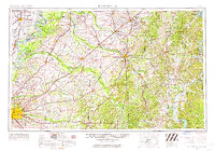
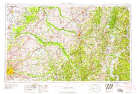
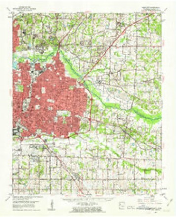
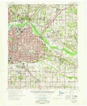
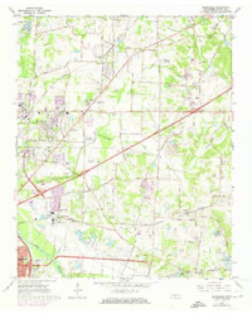
12 topographic sheets cover this place, the earliest surveyed in 1956 and the latest in 1986. It stands in District 13. It lies in ZIP code area 38134. It stands on White Station Creek. The Survey maps it on the Ellendale quadrangle.
Topographic sheets covering this place
6 surveys from 12 printed sheetsMatched by testing this settlement's coordinate against the published boundary of every sheet in the United States Geological Survey's historical collection. Each opens the scanned sheet at the Survey.
- 1956 USGS Blytheville quadrangle1:250000, 2 printings
- 1959 USGS Blytheville quadrangle1:250000
- 1960 USGS Bartlett quadrangle1:62500
- 1961 USGS Bartlett quadrangle1:62500
- 1965 USGS Ellendale quadrangle1:24000, 5 printings
- 1986 USGS Memphis East quadrangle1:100000, 2 printings
Mines and quarries near this place
8 within 5 milesRegional context, not property-specific evidence. The federal mineral resources record lists 8 workings within 5 miles of Shelby Farms: 7 past producers, 1 producer. 1 still produces. What was taken out: Sand and Gravel, Construction. Distance is straight-line from the map coordinates, so a quarry counted here may appear on a neighbouring settlement's page as well.
| Where | Site | Commodity | Status | Recorded |
|---|---|---|---|---|
| #4 Moore Pit | Sand and Gravel, Construction | Producer | Unconsolidated Sediments | |
| Carroll Pit | Sand and Gravel, Construction | Past Producer | Sedimentary | |
| Carroll Pit | Sand and Gravel, Construction | Past Producer | Unconsolidated Sediments | |
| Carroll Pit | Sand and Gravel, Construction | Past Producer | ||
| Number 4 Moore Pit | Sand and Gravel, Construction | Past Producer | Sedimentary | |
| Number 4 Moore Pit | Sand and Gravel, Construction | Past Producer | ||
| Pierce Pit | Sand and Gravel, Construction | Past Producer | Unconsolidated Sediments | |
| Pierce Pit | Sand and Gravel, Construction | Past Producer |
Storms near this place
19 since 2008Regional context, not property-specific evidence. The National Weather Service names Shelby Farms in 19 storm reports between 2008 and 2026: 7 flash flood, 5 hail, 4 thunderstorm wind, 2 flood. No death or injury is recorded in these reports. Each account below is quoted exactly as the forecast office filed it, from the NOAA Storm Events Database, and each date opens the federal record of that event.
| When | Event | Place named | Harm | What the report says |
|---|---|---|---|---|
| April 2011 | Flood | Shelby Farms | $150,000 | Heavy rain brought the Wolf River to near record levels in Germantown. Collierville-Arlington Road was flooded between Shelton and Raleigh-LaGrange. Two vehicles had to be pulled to safety as a result. The AgriCenter RV Park and Farm Road in Shelby Farms was partially flooded. An RV was damaged as a result. Humphreys Boulevard near Walnut Grove Road was flooded as well as Wolf River Boulevard in Germantown between Germantown Parkway and Riverdale Road. Walnut Bend Road in Cordova was flooded and the flood water approached homes in the area. A few businesses in the area of Walnut Bend were flooded. |
| May 2017 | Thunderstorm Wind | Shelby Farms | $50,000 | Large satellite dish blown off of the roof of the Memphis office of Emergency Management. |
| July 2015 | Flash Flood | Shelby Farms | $15,000 | Heavy rain caused flooding of a home near the intersection of Battlefield Drive and Kerwin Drive. The intersections of Raleigh Lagrange Road and Munson Road along with Summer Avenue and Sycamore View Road were also flooded. |
| April 2010 | Lightning | Shelby Farms | $5,000 | Lightning struck a detached garage on Boswell Road near Summer Avenue near Memphis. The garage caught fire as a result. |
| July 2018 | Thunderstorm Wind | Shelby Farms | $2,000 | A few medium size trees down across Shelby Farms Park. |
| March 2008 | Hail | Shelby Farms | $1,000 | no account filed |
| April 2026 | Flash Flood | Shelby Farms | - | Shelby Oaks Drive was flooded with one foot of water. |
| August 2023 | Flash Flood | Shelby Farms | - | The right two lanes of Interstate 40 eastbound at exit 10, Covington Pike, were flooded. |
| December 2021 | Hail | Shelby Farms | - | Nickel-sized hail fell near East Memphis. |
| March 2016 | Flood | Shelby Farms | - | Over 8 inches of rain fell along the Wolf River Basin from late on March 8th through the afternoon on March 10th. This caused flooding along the Wolf River in Eastern Shelby County. Farmland in Shelby Farms was flooded along with the Greenway along the Wolf River. Farm Road was closed in Shelby Farms. Another 3 inches of rain fell on March 12th and 13th which prolonged the flooding. |
| August 2015 | Flash Flood | Shelby Farms | - | Heavy rain caused flooded roadways near Pleasant View Road and Bartlett Boulevard. |
| October 2014 | Hail | Shelby Farms | - | Large hail from the size of quarters up to golfballs fell from Bartlett to the east side of Millington. |
| January 2012 | Thunderstorm Wind | Shelby Farms | - | An estimated wind gust of 65 mph was reported at the National Weather Service Office. |
| September 2012 | Hail | Shelby Farms | - | Quarter size hail fell at Pleasant View Road and Bartlett Road in Northeast Memphis. |
| July 2011 | Flash Flood | Shelby Farms | - | Heavy rain moved over the area from East Memphis to Downtown Memphis. Up to four feet of water flooded the intersection of Madison Avenue and Manassas Street. In addition, up to a foot of water covered the two right hand lanes and shoulder of Interstate 240 North just before exit 31 Interstate 40 West to Little Rock. |
| May 2011 | Thunderstorm Wind | Shelby Farms | - | Straight line winds knocked down trees and power lines at Summer Avenue and Raleigh Lagrange Road. A large tree was knocked down just north of Stage Road near Appling Road. |
| April 2010 | Flash Flood | Shelby Farms | - | Heavy rain produced flash flooding in the Bartlett-East Memphis area. Interstate 240 at Walnut Grove was flooded. In addition, Walnut Grove at Farm Road was flooded. Flooding also occurred at Mullins Station Road and Sycamore View. |
| June 2009 | Flash Flood | Shelby Farms | - | Heavy rain produced flash flooding in and around Bartlett. Sycamore View at Interstate 40 was flooded as well as Whitten and Dexter Roads. |
| April 2026 | Hail | Shelby Farms | - | no account filed |
Nearest settlements
The eight closest, with where each one stands in the county. Distances are straight-line, computed from the Geographic Names Information System coordinates.
| Map | Place | Distance | Sheets |
|---|---|---|---|
| Clay (historical) | 1.9 miles | 12 | |
| River Oaks | 2.6 miles | 12 | |
| Berclair | 3.0 miles | 12 | |
| Elmore Park | 3.2 miles | 12 | |
| Cedar Grove (historical) | 3.3 miles | 12 | |
| White Station | 3.6 miles | 12 | |
| Bartlett | 3.7 miles | 12 | |
| Brookfield | 3.7 miles | 12 |
Provenance
This settlement is recorded in the Geographic Names Information System as feature 1303556. The sheet list is computed by point-in-boundary test against the United States Geological Survey's historical topographic inventory. Both are works of the United States government and carry no copyright under 17 U.S.C. 105.
Mines and quarries. USGS Mineral Resources Data System (MRDS) https://mrdata.usgs.gov/mrds/ A work of the United States government, no copyright under 17 U.S.C. 105.
Storms. NOAA National Centers for Environmental Information, Storm Events Database https://www.ncei.noaa.gov/stormevents/ A work of the United States government, no copyright under 17 U.S.C. 105. Narratives are quoted verbatim from the National Weather Service report and are not edited or summarised.