 Block
White Station, Tennessee
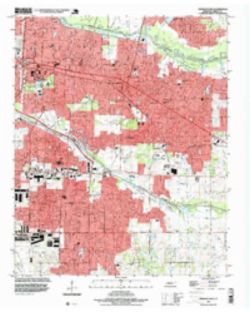
12 topographic sheets cover this place, the earliest surveyed in 1956 and the latest in 1997. It stands in District 4. It lies in ZIP code area 38119. The Survey maps it on the Germantown quadrangle.
On record in White Station
Buildings and businesses the archive holds for this place. Each opens its own page, with the source record it came from.
On the National Register within a mile 3 records
The National Register names another town for these. They stand within one mile of this settlement's coordinate.
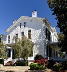 Mosby-Bennett Houselisted 1980 · 0.3 miles away
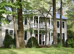 Wilks Brooks Houselisted 1980 · 0.7 miles away
 Sculptures of Dionicio Rodriguez at Memorial Park Cemeterylisted 1991 · 0.9 miles away
Topographic sheets covering this place
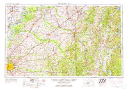
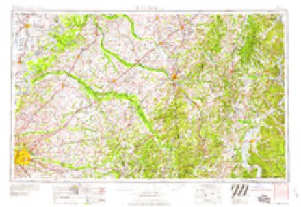
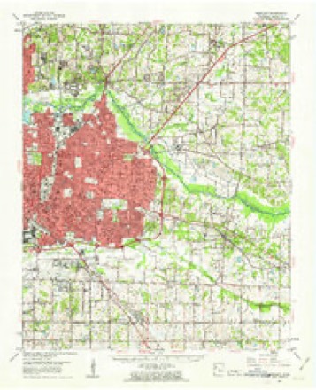
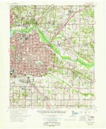
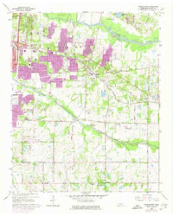
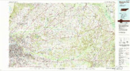
7 surveys from 12 printed sheetsMatched by testing this settlement's coordinate against the published boundary of every sheet in the United States Geological Survey's historical collection. Each opens the scanned sheet at the Survey.
- 1956 USGS Blytheville quadrangle1:250000, 2 printings
- 1959 USGS Blytheville quadrangle1:250000
- 1960 USGS Bartlett quadrangle1:62500
- 1961 USGS Bartlett quadrangle1:62500
- 1965 USGS Germantown quadrangle1:24000, 4 printings
- 1986 USGS Memphis East quadrangle1:100000, 2 printings
- 1997 USGS Germantown quadrangle1:24000
Mines and quarries near this place
2 within 5 milesRegional context, not property-specific evidence. The federal mineral resources record lists 2 workings within 5 miles of White Station: 2 past producers. None of them still produces. What was taken out: Sand and Gravel, Construction. Distance is straight-line from the map coordinates, so a quarry counted here may appear on a neighbouring settlement's page as well.
| Where | Site | Commodity | Status | Recorded |
|---|---|---|---|---|
| Pierce Pit | Sand and Gravel, Construction | Past Producer | Unconsolidated Sediments | |
| Pierce Pit | Sand and Gravel, Construction | Past Producer |
Storms near this place
27 since 2008Regional context, not property-specific evidence. The National Weather Service names White Station in 27 storm reports between 2008 and 2026: 17 thunderstorm wind, 6 flash flood, 3 hail, 1 lightning. The reports record 2 injuries. Each account below is quoted exactly as the forecast office filed it, from the NOAA Storm Events Database, and each date opens the federal record of that event.
| When | Event | Place named | Harm | What the report says |
|---|---|---|---|---|
| June 2025 | Thunderstorm Wind | White Station | 1 hurt, $25,000 | A large tree fell on a house in the 500 block of Shotwell Street near Southern Avenue. |
| July 2023 | Thunderstorm Wind | White Station | 1 hurt, $15,000 | A tree fell on a car on Park Avenue. |
| April 2017 | Thunderstorm Wind | White Station | $50,000 | Large tree down on a house on Sweetbrier Road near Shady Grove Road. |
| July 2009 | Lightning | White Station | $25,000 | A lightning strike caused a garage to catch fire. The garage sustained damage from the fire. |
| April 2023 | Thunderstorm Wind | White Station | $10,000 | Trees and power lines were knocked down near Walnut Grove Road and Yates Road. |
| July 2023 | Thunderstorm Wind | White Station | $10,000 | Trees and power lines were knocked down on White Station Road near Meadowcrest Circle. |
| July 2018 | Thunderstorm Wind | White Station | $10,000 | Considerable damage to a large sign at the Exxon gas station near the Oak Court Mall along Poplar Avenue. |
| March 2023 | Thunderstorm Wind | White Station | $4,000 | One large tree snapped at the base with smaller limbs down around it. |
| April 2026 | Thunderstorm Wind | White Station | $3,000 | A large tree was uprooted on Sweetbriar Road near Redfearn Cove. |
| July 2023 | Thunderstorm Wind | White Station | $2,000 | A tree was knocked down in East Memphis. |
| July 2023 | Thunderstorm Wind | White Station | $2,000 | A tree was uprooted in Sea Isle Park. |
| March 2021 | Thunderstorm Wind | White Station | $2,000 | A large tree was knocked down near Cherry Road and Park Avenue. |
| July 2023 | Thunderstorm Wind | White Station | $1,000 | Large tree limbs were knocked down at Poplar Avenue and Yates Road. |
| July 2019 | Thunderstorm Wind | White Station | $1,000 | One hundred year old tree fell at the Botanical Gardens in east Memphis. |
| July 2018 | Thunderstorm Wind | White Station | $500 | Large tree down across Saint Nick Drive. |
| April 2025 | Flash Flood | White Station | - | Water over roadways and parking lots. |
| May 2024 | Thunderstorm Wind | White Station | - | Trees blown down near Poplar and Galloway in East Memphis. |
| July 2024 | Flash Flood | White Station | - | Heavy rain caused flash flooding in parts of southeast Memphis. There were several reports of water up to the doors of vehicles including near Ridgeway Boulevard and Hickory Hill Road. |
| April 2017 | Thunderstorm Wind | White Station | - | Multiple power lines and power poles down at Shady Grove Road and Brierview. |
| May 2016 | Flash Flood | White Station | - | Street flooding in Southeast Memphis to include Poplar Avenue and Riverdale Road. Waist deep water was also reported at a Hickory Hill apartment parking lot. |
| August 2015 | Thunderstorm Wind | White Station | - | Straight line winds knocked down many trees from East Memphis into Cordova and Collierville. Several roads were blocked. Fences were damaged at Briarcrest High School. |
| May 2010 | Hail | White Station | - | Golf ball size hail fell at the University of Memphis campus. |
| July 2009 | Flash Flood | White Station | - | Heavy rain produced flash flooding in portions of Memphis. Interstate 240 at Walnut Grove Road had the inside lane flooded as a result. In addition, Interstate 40 at Sycamore View had over 3 feet of water covering one of the off ramps. |
| March 2008 | Flash Flood | White Station | - | Heavy rain produced flash flooding in the 1100 Block of White Station Road in East Memphis. |
| May 2008 | Flash Flood | White Station | - | Heavy rain produced flash flooding at Interstate 240 and Highway 385. |
| August 2023 | Hail | White Station | - | no account filed |
| August 2023 | Hail | White Station | - | no account filed |
Nearest settlements
The eight closest, with where each one stands in the county. Distances are straight-line, computed from the Geographic Names Information System coordinates.
| Map | Place | Distance | Sheets |
|---|---|---|---|
| River Oaks | 1.0 miles | 12 | |
| Brookfield | 1.1 miles | 12 | |
| Greenlawn | 1.5 miles | 12 | |
| Germantown | 2.8 miles | 12 | |
| Booth (historical) | 3.4 miles | 12 | |
| The Village | 3.5 miles | 12 | |
| Parkway Village | 3.6 miles | 12 | |
| Shelby Farms | 3.6 miles | 12 |
Provenance
This settlement is recorded in the Geographic Names Information System as feature 1304536. The sheet list is computed by point-in-boundary test against the United States Geological Survey's historical topographic inventory. Both are works of the United States government and carry no copyright under 17 U.S.C. 105.
Mines and quarries. USGS Mineral Resources Data System (MRDS) https://mrdata.usgs.gov/mrds/ A work of the United States government, no copyright under 17 U.S.C. 105.
Storms. NOAA National Centers for Environmental Information, Storm Events Database https://www.ncei.noaa.gov/stormevents/ A work of the United States government, no copyright under 17 U.S.C. 105. Narratives are quoted verbatim from the National Weather Service report and are not edited or summarised.