 Block
West Meade, Tennessee
17 topographic sheets cover this place, the earliest surveyed in 1903 and the latest in 1997. It stands in District 23. It lies in ZIP code area 37205. It stands on Ewin Branch. The Survey maps it on the Bellevue quadrangle.
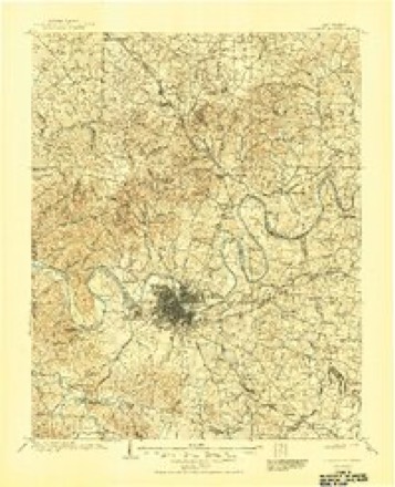
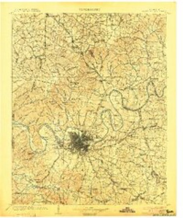
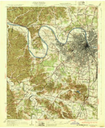
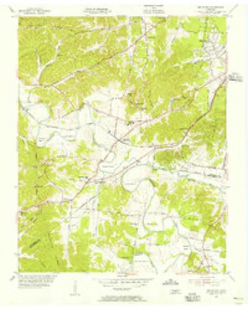
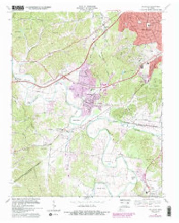
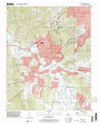
Topographic sheets covering this place
9 surveys from 17 printed sheetsMatched by testing this settlement's coordinate against the published boundary of every sheet in the United States Geological Survey's historical collection. Each opens the scanned sheet at the Survey.
- 1903 USGS Greenbrier quadrangle1:125000, 2 printings
- 1903 USGS Nashville quadrangle1:125000, 2 printings
- 1932 USGS Nashville quadrangle1:62500, 2 printings
- 1955 USGS Belleview quadrangle1:24000, 2 printings
- 1956 USGS Nashville quadrangle1:250000, 2 printings
- 1959 USGS Nashville quadrangle1:250000
- 1968 USGS Bellevue quadrangle1:24000, 4 printings
- 1984 USGS Nashville quadrangle1:100000
- 1997 USGS Bellevue quadrangle1:24000



Fires near this place
6 since 2001Regional context, not property-specific evidence. The federal wildfire occurrence database lists 6 fires within 5 miles of West Meade between 2001 and 2010, burning about 50 acres in total. None started naturally. 1 was recorded as arson. Distance is straight-line from the map coordinates, so a fire counted here may appear on a neighbouring settlement's page as well.
| Reported cause | Fires |
|---|---|
| Debris and open burning | 3 |
| Misuse of fire by a minor | 2 |
| Arson/incendiarism | 1 |
The most recent of them, most recent first, with the day each was reported and the service that recorded it.
| Date | Cause | Size | Reported by | Name on the report |
|---|---|---|---|---|
| 9 April 2006 | Misuse of fire by a minor | 2.5 acres | Tennessee Division of Forestry | not named |
| 15 April 2006 | Debris and open burning | 1.0 acres | Tennessee Division of Forestry | not named |
| 11 April 2006 | Misuse of fire by a minor | 3.0 acres | Tennessee Division of Forestry | not named |
| 27 November 2006 | Debris and open burning | 25 acres | Tennessee Division of Forestry | not named |
| 13 November 2001 | Arson/incendiarism | 4.0 acres | Tennessee Division of Forestry | not named |
| 7 October 2010 | Debris and open burning | 15 acres | Tennessee Division of Forestry | CHARLOTTE HILL |
Settlements close enough to share some of these fires:
Mines and quarries near this place
5 within 5 milesRegional context, not property-specific evidence. The federal mineral resources record lists 5 workings within 5 miles of West Meade: 5 producers. All of them still produce. What was taken out: Stone, Crushed/Broken, Limestone, General, Stone, Crushed/Broken, Clay, Stone, Crushed/Broken, Limestone, General. Distance is straight-line from the map coordinates, so a quarry counted here may appear on a neighbouring settlement's page as well.
| Where | Site | Commodity | Status | Recorded |
|---|---|---|---|---|
| Eller and Olsen Stone Co. Quarry | Stone, Crushed/Broken, Limestone, General | Producer | Limestone | |
| Nashville Mines | Clay | Producer | ||
| River Road Plant #515 | Limestone, General, Stone, Crushed/Broken | Producer | Limestone | |
| Eller and Olsen Stone Co. Quarry | Stone, Crushed/Broken | Producer | ||
| River Road Plant #515 & Quarry | Stone, Crushed/Broken | Producer |
Storms near this place
14 since 2009Regional context, not property-specific evidence. The National Weather Service names West Meade in 14 storm reports between 2009 and 2023: 6 thunderstorm wind, 4 flash flood, 2 hail, 1 lightning. No death or injury is recorded in these reports. Each account below is quoted exactly as the forecast office filed it, from the NOAA Storm Events Database, and each date opens the federal record of that event.
| When | Event | Place named | Harm | What the report says |
|---|---|---|---|---|
| November 2017 | Flash Flood | West Meade | $50,000 | Flash flooding affected parts of southern Davidson County. Blackman Road near Sevenmile Creek was covered in water and closed, and two nearby homes were evacuated due to flooding. Wild Oaks Court near Eagle View Blvd. at Bell Road in Antioch was washed out. Areas along Mill Creek were also flooded including the Mill Creek Greenway, with large debris reported floating down the creek. Several basements of homes throughout southern Nashville were also flooded including the Forest Hills area. |
| July 2015 | Thunderstorm Wind | West Meade | $50,000 | A large downburst struck much of southwest Nashville causing widespread wind damage. Four homes were damaged by falling trees in Belle Meade and Forest Hills, and two other homes were damaged by falling trees on Marengo Lane in Berry Hill. A church was also damaged by a falling tree on 9th Avenue South. Dozens of trees and power lines were blown down across Midtown Nashville, Vanderbilt University, Belle Meade, Green Hills, Forest Hills, and Berry Hill. Numerous roads were blocked and closed by downed trees and power lines, including West End Avenue near I-440, Woodmont Blvd at Valley Brook Road, Alabama Avenue, Compton Road, Robin Road, and the 300 block of Belle Meade Blvd. Winds were estimated up to 70 mph. |
| February 2019 | Flash Flood | West Meade | $20,000 | Social media reports indicated numerous roads across Davidson County were flooded. River Road near the Commodore Yacht Club was flooded with nearby buildings flooding and people moving vehicles to higher ground. Southbound Ellington Parkway near the Douglas Road exit was also flooded, and Rosa Parks Boulevard by the Farmers Market was flooded with a water rescue conducted for a person stranded in a submerged vehicle. General Bate Drive at Graybar Lane in Berry Hill was also flooded with the basement of a nearby home flooded. |
| July 2023 | Thunderstorm Wind | West Meade | $5,000 | Severe thunderstorm winds downed limbs and trees along Charlotte Pike in Belle Meade. Damages are a rough estimate. |
| July 2023 | Thunderstorm Wind | West Meade | $5,000 | Severe thunderstorm winds downed trees near Old Charlotte Pike in Belle Meade. Damages are a rough estimate. |
| April 2015 | Thunderstorm Wind | West Meade | $3,000 | A Facebook report indicated several trees were blown down on River Road. |
| August 2019 | Thunderstorm Wind | West Meade | $1,000 | Facebook report indicated tree branches and tree debris were blown down on River Road. |
| May 2013 | Thunderstorm Wind | West Meade | $1,000 | Local law enforcement reported downed power lines on Gower Road in West Nashville. |
| July 2013 | Lightning | West Meade | $1,000 | Lightning struck a home on Traemoor Village Drive. |
| September 2009 | Flash Flood | West Meade | $1,000 | Flooding was reported along Charlotte Pike. |
| February 2019 | Flash Flood | West Meade | - | Twitter and Facebook reports indicated flooding around an Exxon gas station on Charlotte Pike just west of I-40, and a creek was overflowing its banks flooding the sports fields at Montgomery Bell Academy on West End Avenue in Belle Meade. |
| August 2019 | Hail | West Meade | - | A Twitter tSpotter report and photo showed nickel size hail fell in West Meade. |
| November 2017 | Flood | West Meade | - | Street flooding affected parts of southern Davidson County, including Sawyer Brown Road in Bellevue and Hill Road in Crieve Hall. |
| May 2012 | Hail | West Meade | - | no account filed |
Nearest settlements
The eight closest, with where each one stands in the county. Distances are straight-line, computed from the Geographic Names Information System coordinates.
| Map | Place | Distance | Sheets |
|---|---|---|---|
| Belle Meade | 2.2 miles | 18 | |
| Charlotte Park | 2.2 miles | 16 | |
| Tennessee Towne (historical) | 2.6 miles | 17 | |
| Watkins (historical) | 2.8 miles | 16 | |
| Richland | 2.9 miles | 17 | |
| Cherokee Park | 3.1 miles | 17 | |
| Vaughns Gap | 3.4 miles | 17 | |
| Walnut Hills | 3.5 miles | 17 |
Provenance
This settlement is recorded in the Geographic Names Information System as feature 1274212. The sheet list is computed by point-in-boundary test against the United States Geological Survey's historical topographic inventory. Both are works of the United States government and carry no copyright under 17 U.S.C. 105.
Wildfire. Short, Karen C. 2022. Spatial wildfire occurrence data for the United States, 1992-2020 [FPA_FOD_20221014]. 6th Edition. Fort Collins, CO: Forest Service Research Data Archive. https://doi.org/10.2737/RDS-2013-0009.6 Collected with United States Government funding and usable without additional permissions or fees.
Mines and quarries. USGS Mineral Resources Data System (MRDS) https://mrdata.usgs.gov/mrds/ A work of the United States government, no copyright under 17 U.S.C. 105.
Storms. NOAA National Centers for Environmental Information, Storm Events Database https://www.ncei.noaa.gov/stormevents/ A work of the United States government, no copyright under 17 U.S.C. 105. Narratives are quoted verbatim from the National Weather Service report and are not edited or summarised.