 Block
BlockAndrews County, Texas
12 topographic sheets and 1 fire insurance atlases across 1 place.
Research this county
What the record shows
- 1 place in this county was surveyed for fire insurance: Andrews, in 1954.
- 1 fire insurance atlas survives for the county. Topographic coverage is national; fire insurance survey reached only incorporated places with something worth insuring.
- 45 topographic sheet readings cover the county's settlements.
- The Geographic Names Information System records 9 populated places in this county; 9 are covered by at least one topographic sheet.
Photographs
38 photographs, 1942Taken for the Office of War Information and the Farm Security Administration, who photographed the country between 1935 and 1944. Works of United States government photographers, with no known restriction on use. Each opens its catalogue record.
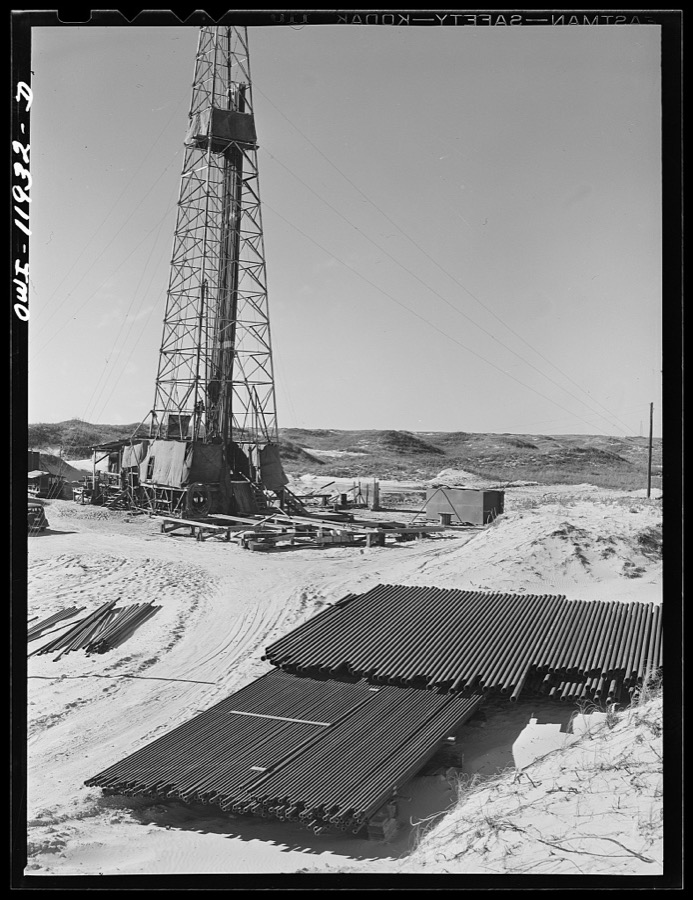
Vachon, John, 1942. Library of Congress

Vachon, John, 1942. Library of Congress

Vachon, John, 1942. Library of Congress

Vachon, John, 1942. Library of Congress

Vachon, John, 1942. Library of Congress

Vachon, John, 1942. Library of Congress

Vachon, John, 1942. Library of Congress

Vachon, John, 1942. Library of Congress
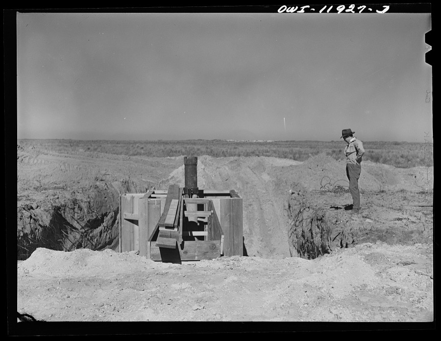
Vachon, John, 1942. Library of Congress

Vachon, John, 1942. Library of Congress

Vachon, John, 1942. Library of Congress

Vachon, John, 1942. Library of Congress

Vachon, John, 1942. Library of Congress

Vachon, John, 1942. Library of Congress

Vachon, John, 1942. Library of Congress

Vachon, John, 1942. Library of Congress
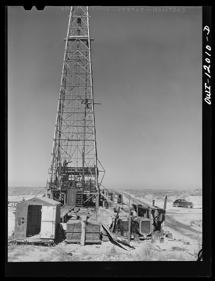
Vachon, John, 1942. Library of Congress

Vachon, John, 1942. Library of Congress

Vachon, John, 1942. Library of Congress

Vachon, John, 1942. Library of Congress
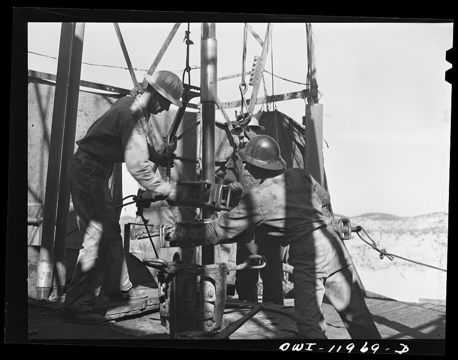
Vachon, John, 1942. Library of Congress

Vachon, John, 1942. Library of Congress

Vachon, John, 1942. Library of Congress

Vachon, John, 1942. Library of Congress
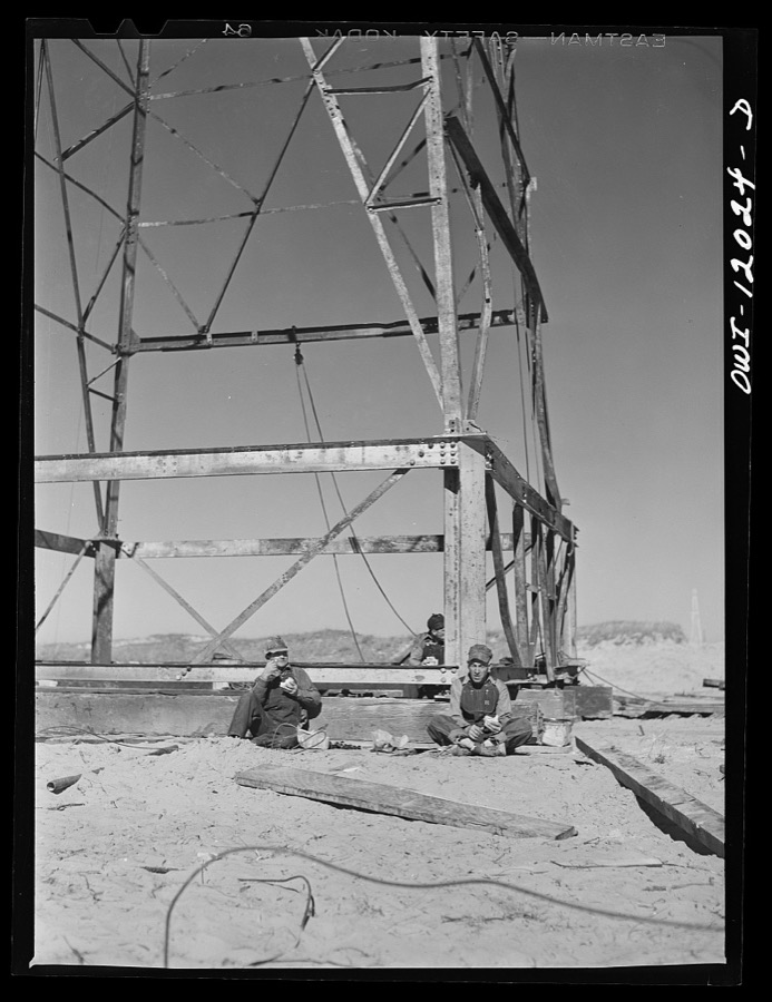
Vachon, John, 1942. Library of Congress

Vachon, John, 1942. Library of Congress
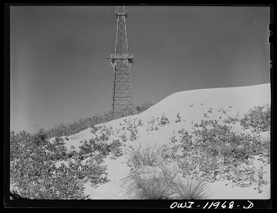
Vachon, John, 1942. Library of Congress

Vachon, John, 1942. Library of Congress

Vachon, John, 1942. Library of Congress
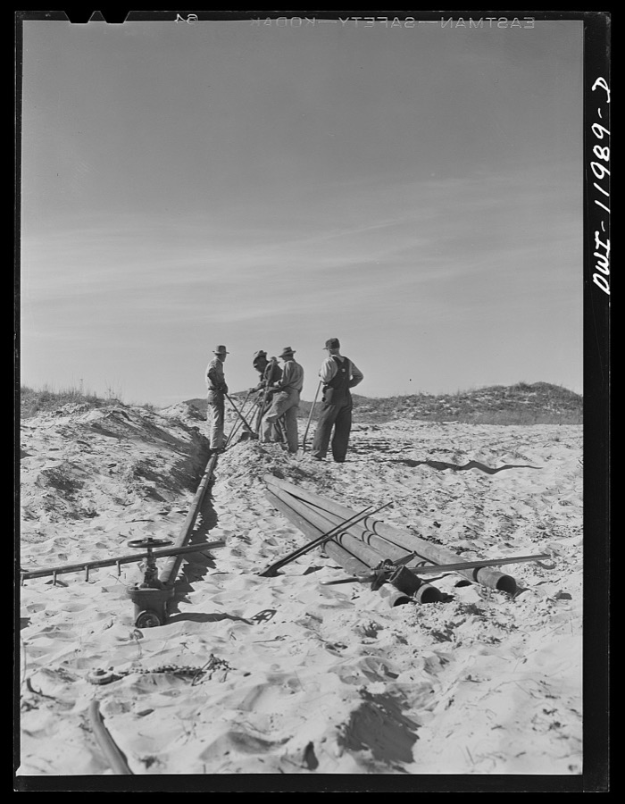
Vachon, John, 1942. Library of Congress

Vachon, John, 1942. Library of Congress
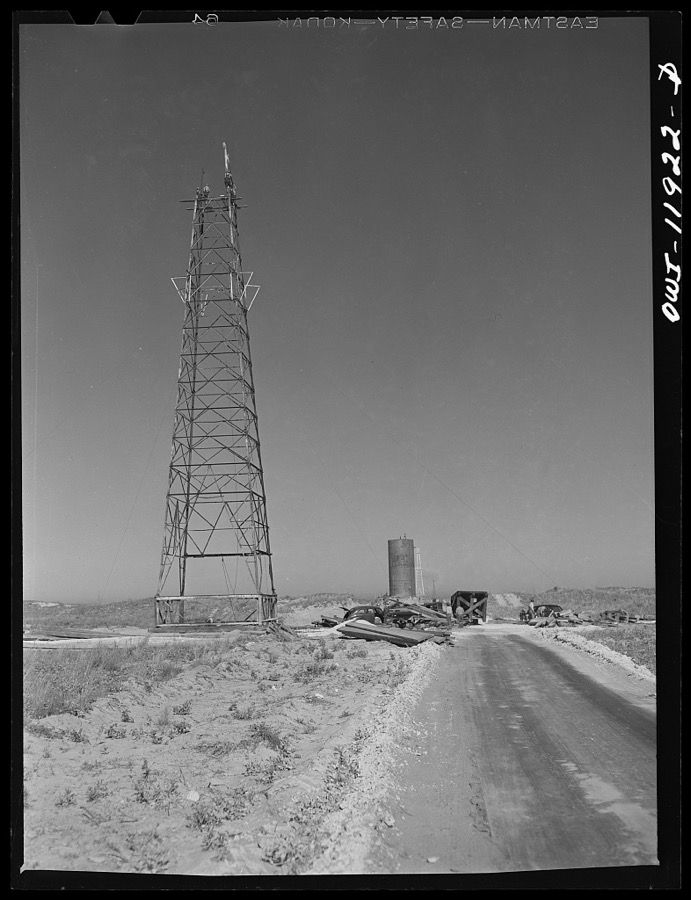
Vachon, John, 1942. Library of Congress

Vachon, John, 1942. Library of Congress

Vachon, John, 1942. Library of Congress
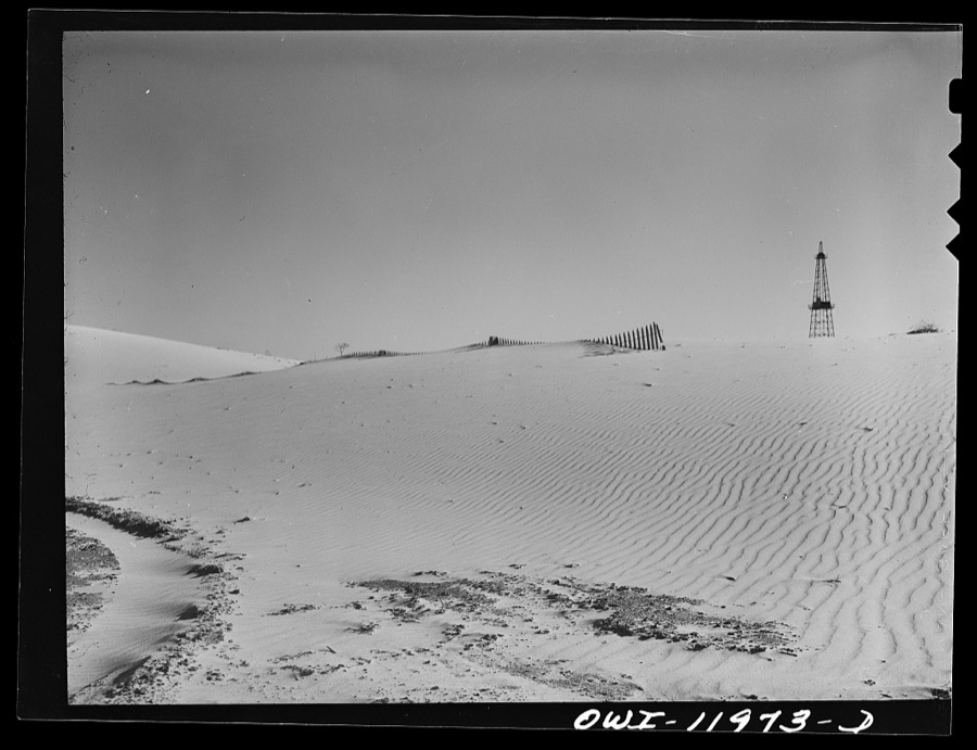
Vachon, John, 1942. Library of Congress

Vachon, John, 1942. Library of Congress

Vachon, John, 1942. Library of Congress

Vachon, John, 1942. Library of Congress
The county from the air
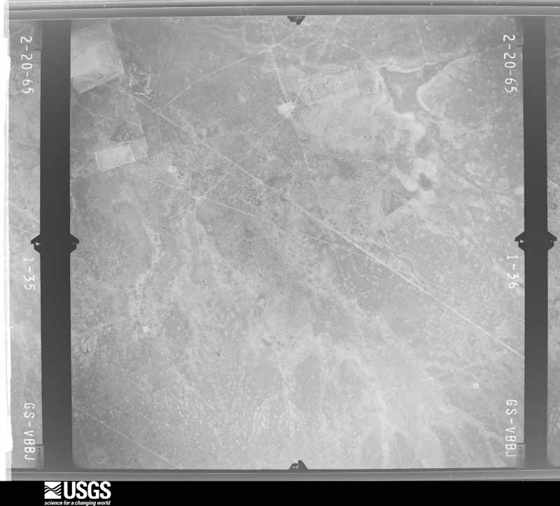
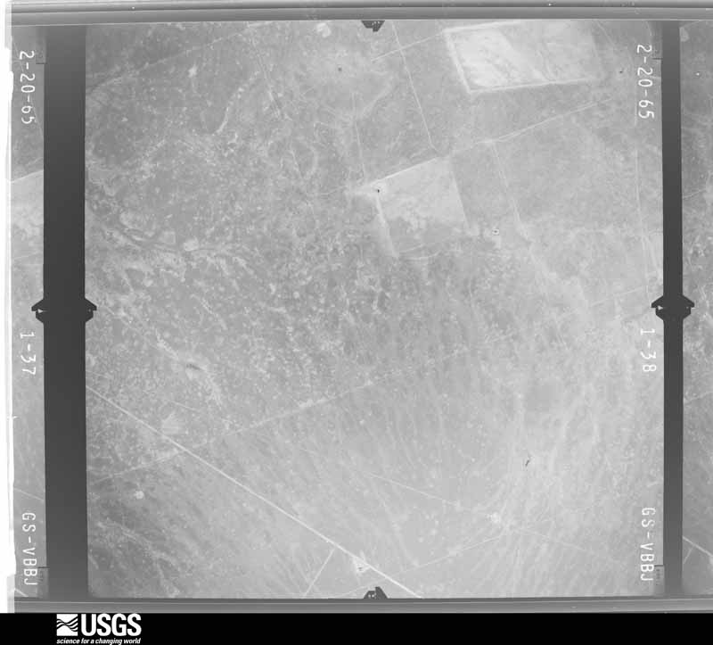
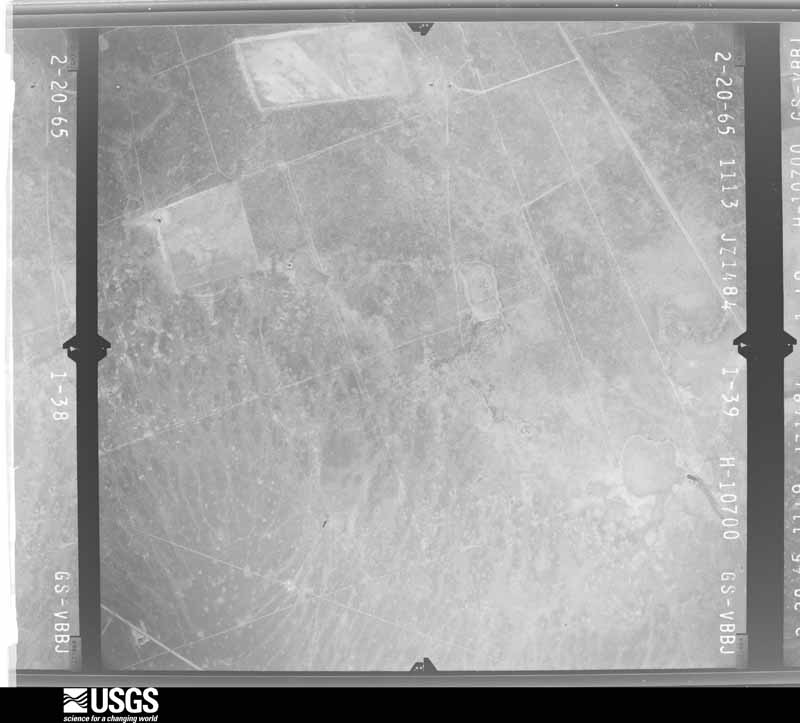
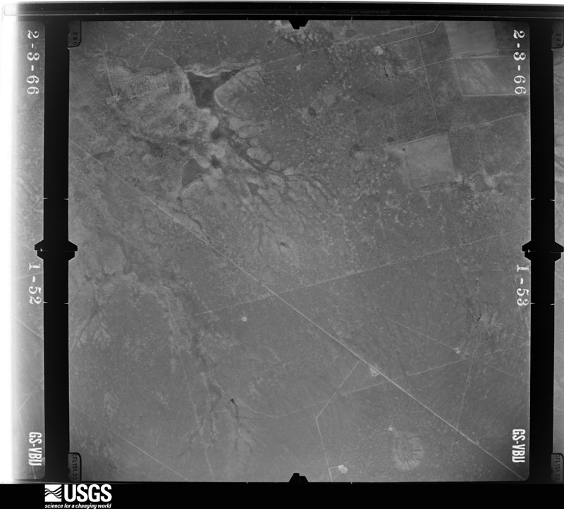
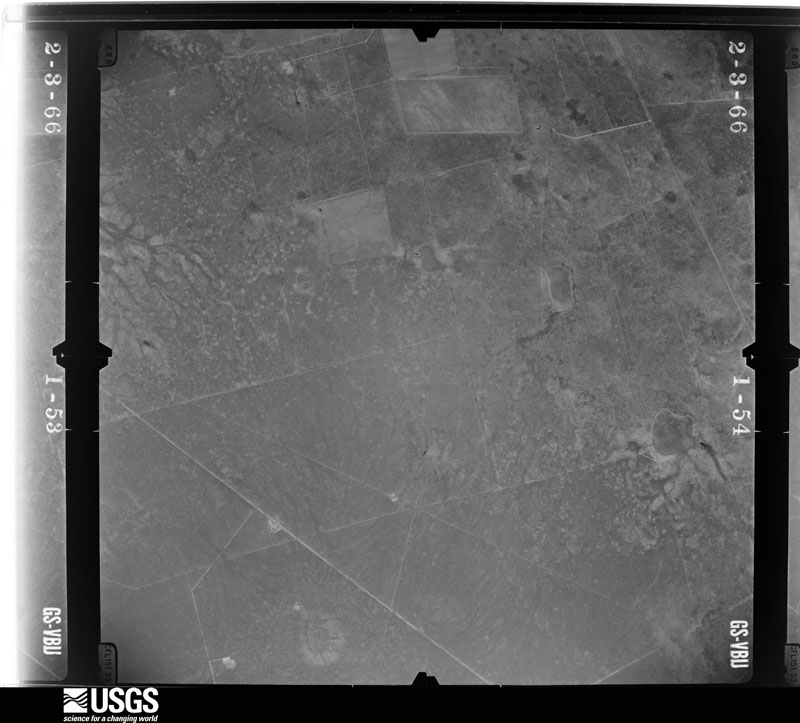
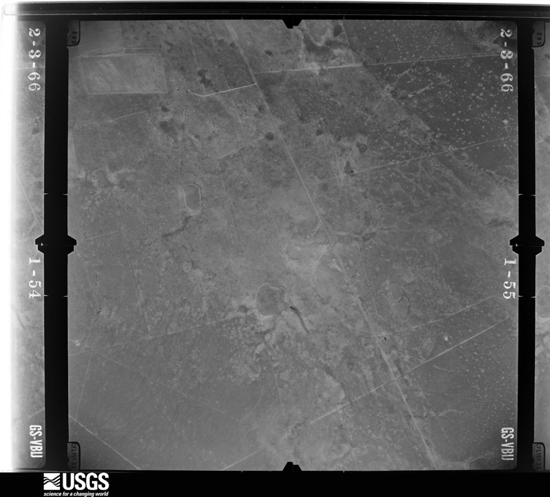
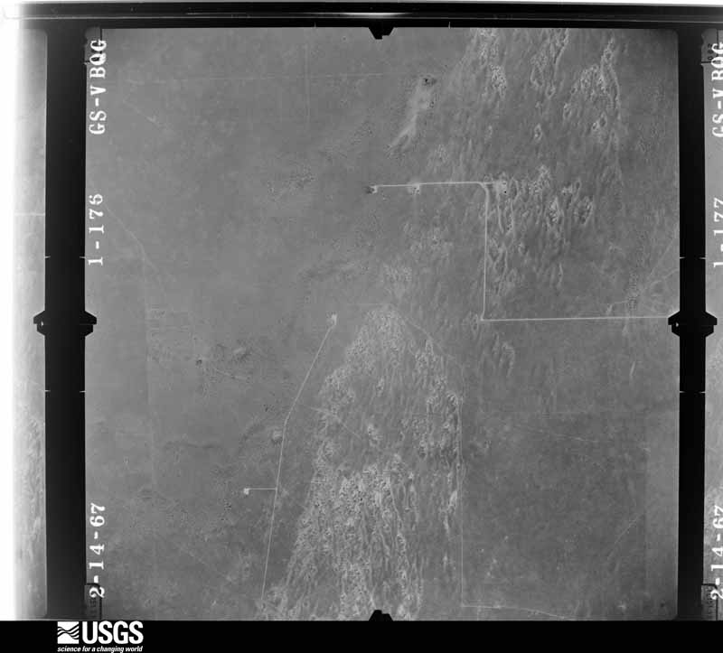
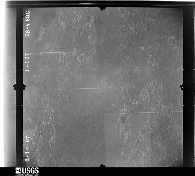
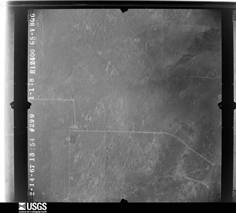
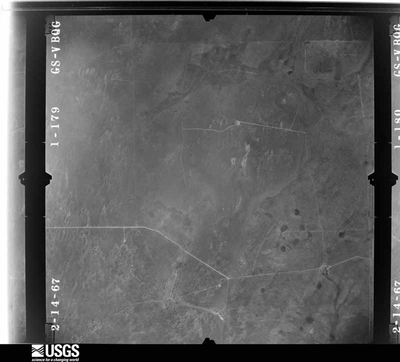
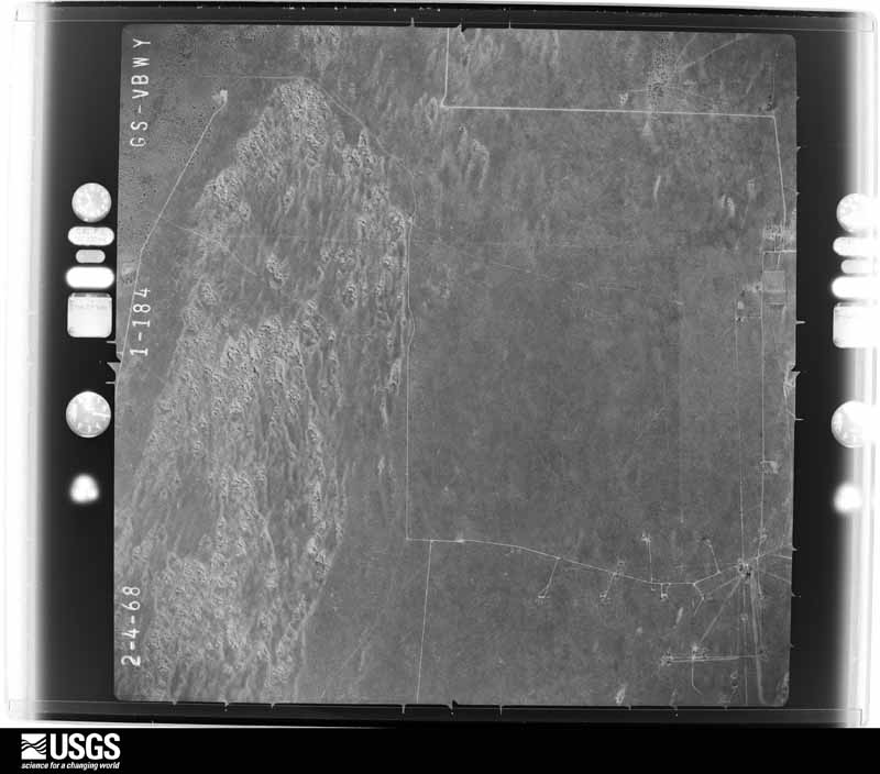
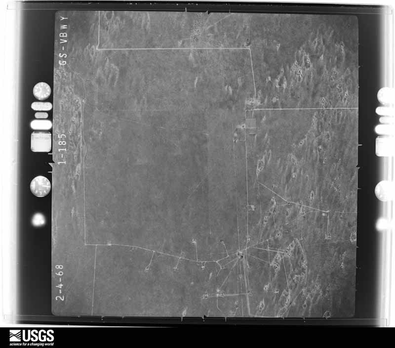
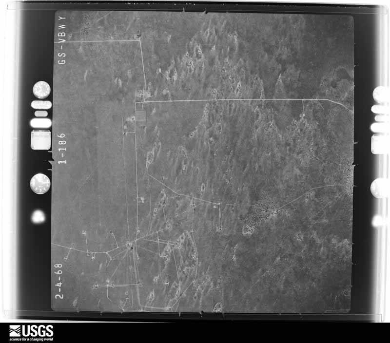
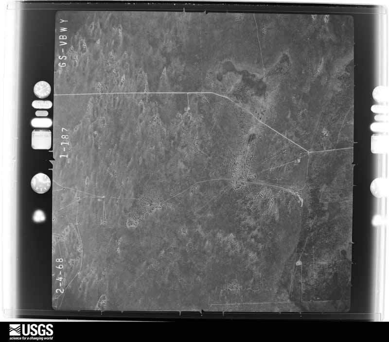
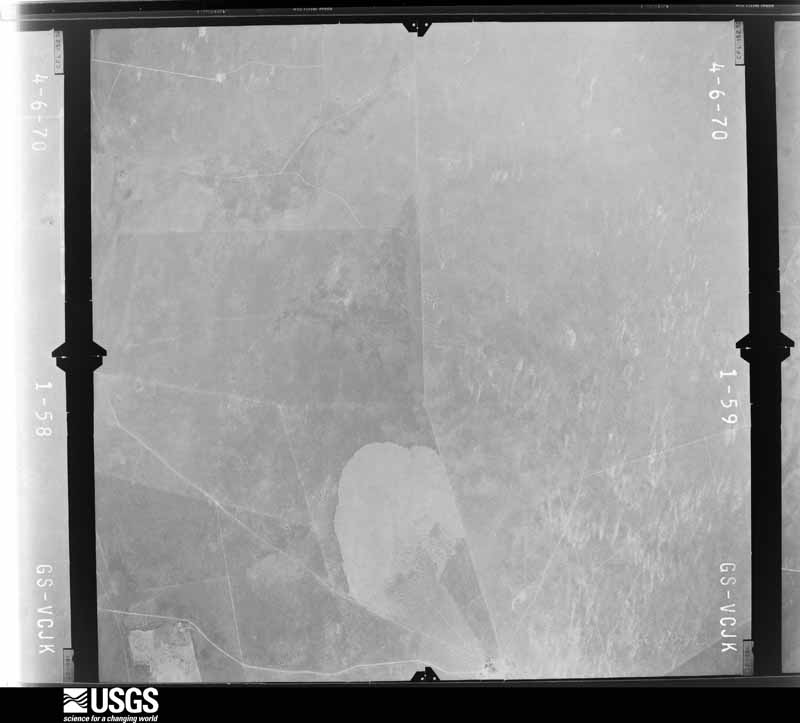
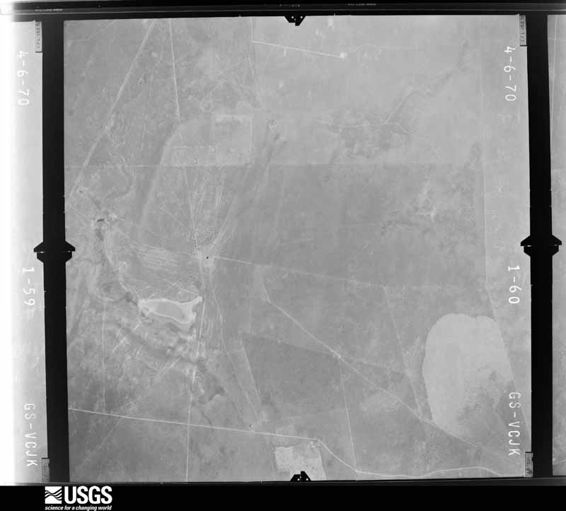
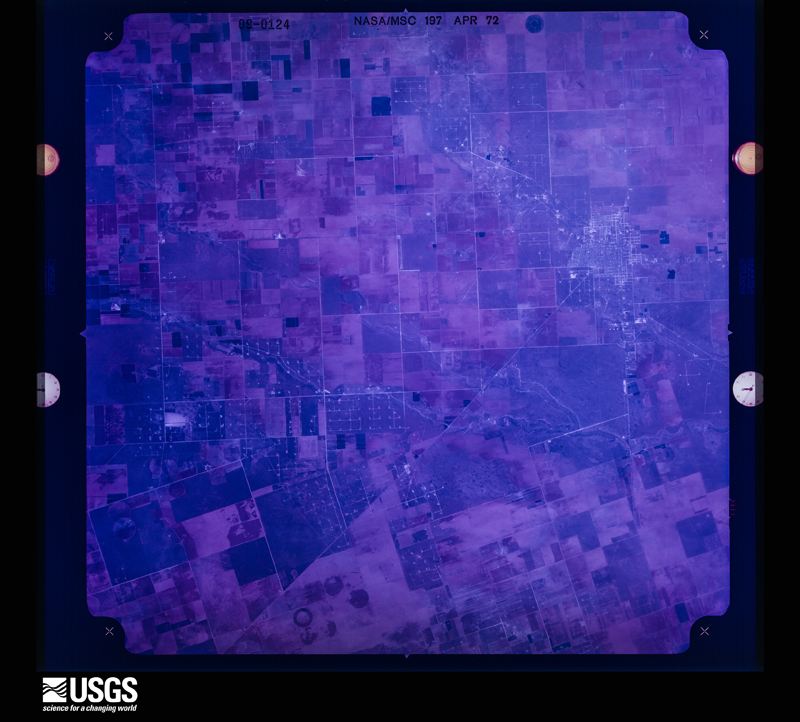
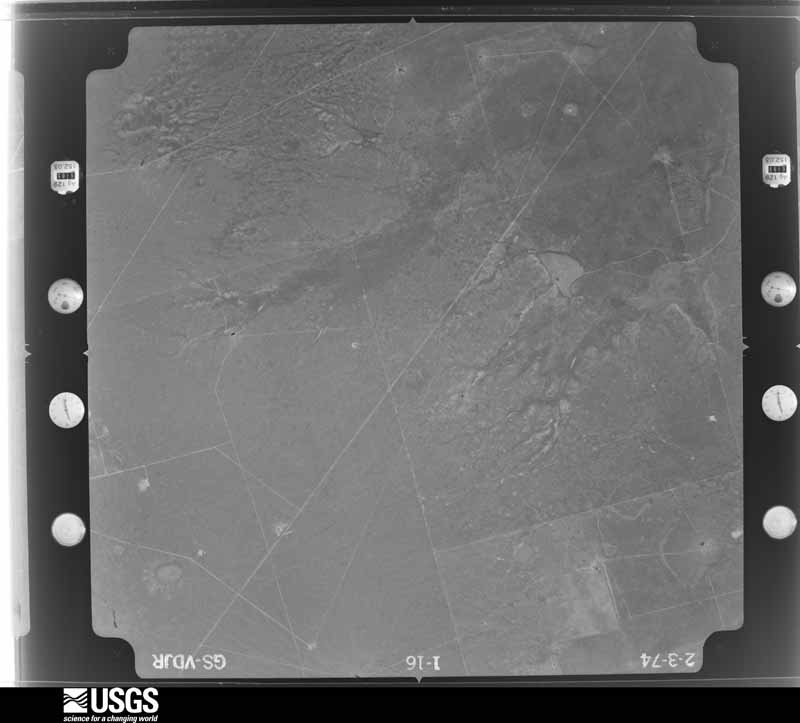
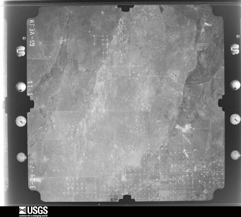
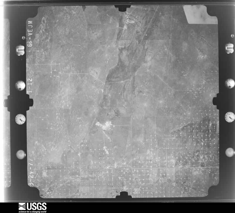
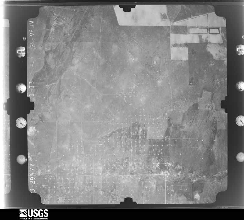
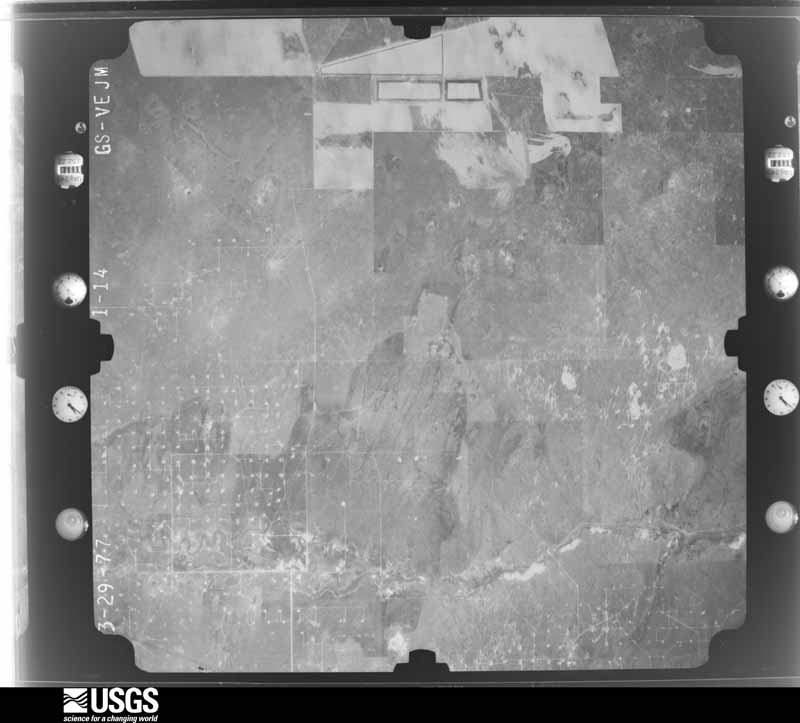
48 shownFlown by the U.S. Geological Survey between 1937 and 1989, the Aerial Photo Single Frames collection is the definitive mid-century view of the land: fields, roads and rivers as the camera saw them. The Survey holds 2,756 frames inside the rectangle that bounds this county; the 48 frames below were taken over the county itself, chosen across the decades of flights (at most four a year from that rectangle), so one flight cannot crowd out the rest. The full set is free to browse and download at EarthExplorer under the dataset Aerial Photo Single Frames.


























Weather records
4 stationsThe thermometers that kept this county's weather, as the federal records hold them. The extremes below are measured values from those records, not estimates.
- ANDREWS 1914 to 2010, hottest 47.2 C, coldest -18.3 C
- ANDREWS 2 2008 to 2019, hottest 43.3 C, coldest -15.6 C
- ANDREWS COUNTY AP 2018 to 2026, hottest 43.9 C, coldest -19.4 C
- ANDREWS 0.5 WNW 2025 to 2026
The 1950 census, district by district
9 districtsWho lived here in 1950, one enumeration district at a time, as the Census Bureau described each district. Each row opens its official National Archives result, with Population Schedules and ED Maps available there.
- 2-1Andrews city, comprising, parts of Justice Precincts 1, 2, 3 and 4: Andrews city - That part in Justice Precinct 1 Bounded by Precinct line, Elliott, Denton, Precinct line; City limits; City limits; Precinct line, State Hwy. 51, White, Colorado, Precinct line
- 2-2Andrews city - That part in Justice Precinct 2 Bounded by City limits; Precinct line; State Hwy. 51; Franklin, Cochran, Means, Jones, Denton, Precinct line; City limits
- 2-3Andrews city - in Justice Precinct 2 Bounded by Means, Cochran, Franklin; White, Denton, Precinct line; Precinct line, Andrews, Denton; Jones
- 2-4Andrews city - This part in Justice Precinct 3 Bounded by City limits; City limits; Precinct line, Denton, Elliott, Precinct line; Precinct line, Denton, White, State Hwy. 51, Precinct line
- 2-5Andrews city - That part in Justice Precinct 4 Bounded by Precinct line, Denton, Andrews, Precinct line; Precinct line, Colorado, White, State Hwy. 51; City limits; City limits
- 2-6Justice Precinct 1 That part outside Andrews city (Remainder of Justice Precinct 1 is in Andrews city)
- 2-7Justice Precinct 2 That part outside Andrews city (Remainder of Justice Precinct 2 is in Andrews city)
- 2-8Justice Precinct 3 That part outside Andrews city (Remainder of Justice Precinct 3 is in Andrews city).
- 2-9Justice Precinct 4 That part outside Andrews city (Remainder of Justice Precinct 4 is in Andrews city)
Wildfire, 2005 to 2019
876 firesEvery wildfire the federal occurrence database records inside this county: 876 of them, burning about 309,290 acres. 112 started naturally and none was recorded as arson. Each settlement page carries the fires within five miles of it.
| Reported cause | Fires |
|---|---|
| Equipment and vehicle use | 473 |
| Missing data/not specified/undetermined | 217 |
| Natural | 112 |
| Debris and open burning | 29 |
| Smoking | 28 |
| Power generation/transmission/distribution | 11 |
| Misuse of fire by a minor | 4 |
| Recreation and ceremony | 2 |
The five largest, by the area the report gives. None of them was recorded as arson.
| Date | Cause | Size | Reported by | Name on the report |
|---|---|---|---|---|
| 14 April 2011 | Missing data/not specified/undetermined | 106,027 acres | Texas A & M Forest Service | FRYING PAN FIRE |
| 27 February 2011 | Missing data/not specified/undetermined | 65,000 acres | Texas A & M Forest Service | TOM FIRE |
| 24 May 2011 | Missing data/not specified/undetermined | 25,000 acres | Texas A & M Forest Service | DERICK FIRE |
| 12 June 2011 | Equipment and vehicle use | 24,000 acres | Texas A & M Forest Service | ARMSTRONG FIRE |
| 25 February 2008 | Missing data/not specified/undetermined | 11,180 acres | Texas A & M Forest Service | not named |
| 8 February 2008 | Missing data/not specified/undetermined | 8,924 acres | Texas A & M Forest Service | CHEVRON |
| 6 April 2011 | Equipment and vehicle use | 6,962 acres | Texas A & M Forest Service | TEXLAND FIRE |
| 6 April 2011 | Natural | 5,500 acres | Texas A & M Forest Service | SAND RANCH FIRE |
Every settlement page carries the fires within five miles of it - see the settlement index below.
Storms, 1954 to 2025
60 of 338 shownThe NOAA Storm Events Database holds 338 reports for this county, causing no deaths, 11 injuries and about $13,284,650 in recorded property damage. Each settlement page carries the reports that name it.
| Kind of event | Reports |
|---|---|
| Hail | 190 |
| Thunderstorm Wind | 77 |
| Flash Flood | 45 |
| Tornado | 25 |
| Funnel Cloud | 1 |
The most serious of them, by death, then injury, then recorded damage. The accounts are quoted exactly as the forecast office filed them.
| When | Event | Place named | Harm | What the report says |
|---|---|---|---|---|
| May 1954 | Tornado (F1) | not stated | 9 hurt | no account filed |
| May 1956 | Tornado (F1) | not stated | 1 hurt, $25,000 | no account filed |
| September 2006 | Thunderstorm Wind | Andrews | 1 hurt, $6,000 | The Andrews County Sheriff's Office reported damage and one injury due to severe thunderstorm winds just southeast of Andrews. Observations from the West Texas Mesonet station in Andrews reported a maximum wind gust of 55 mph. The injured person had been hit in the face and chest by a corrugated metal fence panel and suffered blunt force trauma to the face and chest as well as a laceration that needed stitching. A damage assessment was performed by the Andrews County emergency manager and sheriff's department personnel the following day. They discovered that all debris was oriented from southwest to northeast and made the determination that all damage was caused by straight-line winds. Damage consisted mostly of broken tree limbs, uprooted trees, damaged small metal storage buildings, displaced barn roofs, and fallen utility poles. One semi-trailer was blown over, but did not appear to be damaged otherwise. An abandoned house trailer had a portion of the roof blown off exposing framing and insulation. A wood framed covered porch on an occupied house trailer was blown up and over the trailer, across the front yard, onto the other side of the street. |
| June 1995 | Hail | Andrews | $6,000,000 | An LP Supercell produced very large hail across much of the city of Andrews causing damage to cars and roofs totalling around $6 million. Over 700 roofs had shingles replaced. Reports received from SKYWARN spotters, sheriff's office, and off-duty National Weather Service personnel. |
| April 1999 | Hail | Andrews | $5,000,000 | A multicell cluster of thunderstorms moved into Andrews County from Winkler County. A new cell developed on the south end of the cluster and dropped the large hail on parts of Andrews. Numerous cars were damaged along with some roofs. This was the worst hail storm in Andrews since June 4, 1995. |
| June 1995 | Hail | Andrews | $500,000 | Another hail storm passed over much of the same area as the June 4th storm. Additional damage occurred south of the June 4th path, however. SKYWARN spotter and insurance agent provided reports. |
| March 2019 | Tornado (EF1) | Andrews Co Arpt | $400,000 | A line of thunderstorms moved across Andrews County with small circulations called meso-vortices along this line. By 9:51 pm CDT, as the storm crossed Highway 385 south of Andrews, the presence of a hook echo was noted on radar. The survey team noted that damage extended from along County Road 2601 from SE 650 Road to SE 1000 Road, and then northeastward to just north of Hamrick Loop. The survey team also noted the majority of the damage coincided with the radar location of the meso-circulation and hook echo. The survey team determined that the damage was the result of a tornado. Damage to outbuildings, residential structures, power poles, and to a 300-foot transmission tower suggest that the most significant damage is indicative of a moderate to high end EF-1 tornado, with wind speeds estimated at 80-100 mph. The tornado was estimated to be 1/5 mile wide. Based on radar and damage information, it is believed that the tornado had a life span of 6 minutes, from approximately 9:55 pm to 10:01 pm. The cost of damage is a very rough estimate. |
| October 1986 | Tornado (F1) | not stated | $250,000 | no account filed |
| June 2008 | Thunderstorm Wind | Andrews | $200,000 | Widespread wind damage occurred throughout Andrews. The West Texas Mesonet site measured a peak gust of 55 knots. Numerous powerline poles were downed by these winds. Two hanger doors wers blown inward at the Andrews Airport. Two commercial roofs were torn off and a convenience store awning collapsed. |
| August 2004 | Flash Flood | Andrews | $150,000 | Storm spotters and local officials reported flash flooding in Andrews. Several city streets were inundated by flowing water. High water entered houses in parts of the city and caused structural damage. In addition, fire department officials conducted several high water rescues when motorists were stranded by flood waters. |
| July 2016 | Thunderstorm Wind | Andrews | $100,000 | A thunderstorm moved across Andrews County and produced straight line wind damage in the northeastern part of the county. A farmer reported damage to his barns and equipment. One shed was ripped completely up and strung out for a quarter mile or so to the northeast. This shed had no side walls, just a roof. Tractors and sprayers were damaged. A metal building 25 yards east of this shed had part of the roof blown off as well as a metal overhang. One of the metal I beam posts that were cemented into the ground was ripped out and blown into the side of this same building. A much larger metal building located 50 yards south of these buildings was also damaged. A section of south facing wall was blown in and portions of the roof and cross members were blown off. The time of damage is an estimate and the cost of damage is a very rough estimate. |
| September 2003 | Thunderstorm Wind | Andrews | $75,000 | Severe thunderstorm winds blew down at least 15 power poles along Highway 176 east of Andrews to near the Martin County line as the supercell storm moved across eastern Andrews County. |
| June 2023 | Flash Flood | Andrews | $50,000 | Street flooding with cars stranded was reported in Andrews. Property damage cost is an estimation. |
| September 2019 | Flash Flood | Andrews | $50,000 | Heavy rain moved across Andrews County and produced flash flooding in the town of Andrews. There were multiple accidents with injuries in Andrews. The number of injuries is unknown. Streets were closed and there were stalled cars. The cost of damage is a very rough estimate. |
| August 2002 | Thunderstorm Wind | Andrews | $50,000 | Winds up to 70 MPH from severe thunderstorms resulted in damage throughout parts of the city of Andrews. The most significant damage occured at the First Baptist Church...where a portion of the roof was blown off. The same church lost its roof during severe thunderstorms in July. In addition...several large trees were blown down throughout the city. |
| April 1993 | Thunderstorm Wind | Andrews | $50,000 | An amateur radio operator reported wind damage to his roof and radio antenna in Andrews. East of Andrews, several homes in a subdivision suffered roof damage. |
| July 1994 | Thunderstorm Wind | Andrews | $50,000 | no account filed |
| June 2007 | Thunderstorm Wind | Andrews | $30,000 | Powerlines and trees were downed by strong winds. A roof was also blown off a building and onto powerlines. |
| June 2003 | Thunderstorm Wind | Andrews | $30,000 | A very intense storm developed rapidly at the intersection of two outflow boundaries over Andrews County. The storm produced golfball size hail and an intense downburst which destroyed a barn just west of town, blew down power poles, and blew a large tree across a city street in town. |
| September 2004 | Flash Flood | Andrews | $25,000 | Thunderstorms and heavy rain again erupted over west Texas during the afternoon of the 27th. Saturated ground conditions were first aggravated by downpours over Andrews. Urban flash flooding quickly ensued and several vehicles stalled in flooded city streets. The Andrews Fire Department conducted at least one high water rescue. No injuries were reported. |
| June 1980 | Tornado (F1) | not stated | $25,000 | no account filed |
| June 2010 | Thunderstorm Wind | Frankel City | $20,000 | A land owner reported that a 4 foot tree was blown over and several 4 to 5 inch tree limbs were broken. In addition, the roof of a 30' by 50' barn was torn off and some of the home's roof shingles were damaged. |
| August 2007 | Thunderstorm Wind | Andrews | $20,000 | Several powerlines were downed by strong winds in the city of Andrews. |
| September 2003 | Thunderstorm Wind | Andrews | $20,000 | At least five power poles were blown down by severe thunderstorm winds along State Route 176 near the intersection of Farm to Market Road 1788.The first of four supercell thunderstorms to affect the northern Permian Basin during the evening of the 7th and the early morning hours of the 8th developed over Andrews County. This storm resulted in large hail and damaging thunderstorm winds. The storm then propagated southeast across unpopulated areas of southwest Martin County, and eventually across Midland (including the city of Midland proper) and northern Upton Counties. |
| September 2014 | Flash Flood | Andrews Co Arpt | $12,000 | Heavy rain fell across Andrews County and produced flash flooding southeast of Andrews. Portions of Farm to Market Road 1788 were closed due to two and a half feet of water over the road about eleven miles south of State Highway 176. A vehicle accident was reported at this location. The cost of damage is a very rough estimate. |
| May 2022 | Hail | Andrews | $10,000 | A thunderstorm produced 2.50 inch hail five miles west southwest of Andrews, TX. There was damage to car windshields. The cost of damage is a very rough estimate. |
| June 2013 | Thunderstorm Wind | Andrews | $10,000 | A thunderstorm moved across Andrews County and produced an estimated 45 mph wind gust. This wind had blown off the roof of a structure. The cost of damage is a rough estimate. |
| June 2012 | Thunderstorm Wind | Frankel City | $10,000 | A thunderstorm moved over Andrews County and produced a 70 mph wind gust five miles south southwest of Frankel City. These winds blew a telephone pole down on a car. The cost for the damage is a rough estimate. |
| January 2005 | Thunderstorm Wind | Frankel City | $10,000 | Severe thunderstorm winds blew a vehicle off of Texas Highway 176 in western Andrews County. The driver of the vehicle reported that small hail accompanied the severe winds. No injuries were reported. |
| March 2000 | Thunderstorm Wind | Andrews | $10,000 | Thunderstorm outflow winds blew over a trailer. |
| May 1998 | Thunderstorm Wind | Andrews | $10,000 | The storm that first dropped golfball size hail two hours earlier had slowly sagged southward as it became better organized into an impressive HP Supercell. A mid-level circulation developed and a rain-filled rear-flank downdraft (RFD) surged southward across County Road 7000. Twelve utility poles were downed in this area in two groups: a group of 3 and a group of 9 separated by one mile.A survey of the area determined that the damage occurred about 2-3 miles west of where the circulation passed over the road (as determined through radar and GPS comparisons). No damage was seen in the area of the circulation, therefore it was determined that this circulation never reached the ground. The damage path was slightly divergent with winds from a 340 to 325 degree direction. |
| June 1997 | Thunderstorm Wind | Andrews | $10,000 | no account filed |
| June 2012 | Thunderstorm Wind | Frankel City | $8,000 | A thunderstorm moved over Andrews County and produced a 70 mph wind gust that knocked down telephone poles 0.25 miles east of Frankel City. The cost of the damage is an estimate. |
| September 2017 | Thunderstorm Wind | Andrews | $6,000 | A thunderstorm moved across Andrews County and produced wind damage eight miles south of the City of Andrews. A few telephone poles were blown down. The cost of damage is a very rough estimate. |
| June 2012 | Tornado (EF1) | Frankel City | $6,000 | A severe thunderstorm moved across Andrews County and produced a tornado about an eighth of a mile east of Frankle City, TX. A National Weather Service employee spotted the damage at about 9:30 PM CDT. The damage consisted of one power pole bent at a 60 degree angle to the south of FM1967 with power lines about ten feet above the road. A power pole to the north of the first one was snapped, and another power pole was bent slightly. Based on radar data, the circulation was over the affected area around 8:58 PM CDT, and the tornado was rated an EF-1 based on the damage reported. Since no other damage was reported, the path length and time were an estimate. |
| July 2009 | Flash Flood | Andrews | $5,000 | A vehicle was reported submerged within the city limits in Andrews. Roads on the northwest and northeast side of the city also had 1 foot of flowing water over them. |
| June 2008 | Hail | Andrews | $5,000 | Silver dollar sized hail damaged home windows near the intersection of County Road 2001 and Texas State Highway 176. |
| June 2007 | Hail | Andrews | $5,000 | Tennis ball sized hail fell on the west side of Andrews. |
| April 1993 | Thunderstorm Wind | Andrews | $5,000 | An amateur radio operator reported wind damage to his roof and radio antenna in Andrews. East of Andrews, several homes in a subdivision suffered roof damage. |
| May 1993 | Thunderstorm Wind | Andrews | $5,000 | Downburst wind gusts reached speeds of 76 miles an hour north of Andrews, according to the public and equipment at the Andrews County Airport. Damage to roofs and trees was reported. |
| September 1995 | Thunderstorm Wind | Andrews | $5,000 | no account filed |
| October 2012 | Thunderstorm Wind | Andrews | $4,000 | A thunderstorm moved across Andrews County and produced a strong wind gust which resulted in several trees and power lines being blown down. This wind gust is estimated to have been around 70 mph, and the cost of damage from the wind is a rough estimate. |
| June 2019 | Hail | Andrews | $3,000 | A thunderstorm moved across Andrews County and produced tennis ball sized hail six miles east of Andrews. Windows in vehicles were broken from the hail. The cost of damage is a very rough estimate. |
| May 1999 | Thunderstorm Wind | Florey | $3,000 | no account filed |
| May 1965 | Tornado (F1) | not stated | $2,500 | no account filed |
| October 2015 | Flash Flood | Andrews | $2,000 | Andrews County Sheriffs Office reported water flooding residents' yards and 1 to 2 feet of water covering some roadways. A vehicle was submerged under water and southbound lanes of N Main and NW Mustang Streets were being barricaded. Damage costs are a very rough estimate. |
| June 2010 | Thunderstorm Wind | Andrews | $2,000 | Law enforcement reported powerlines were downed by strong winds in Andrews, TX. |
| June 1998 | Thunderstorm Wind | Andrews | $1,500 | A couple of utility poles were knocked down by strong winds from this storm. |
| August 2016 | Flash Flood | Andrews | $1,000 | Heavy rain fell across Andrews County and produced flash flooding northeast of the City of Andrews. The Andrews County Sheriff's Office reported two feet of water running over the intersection of Ranch Road 1788 and 7100, about ten to eleven miles northeast of the City of Andrews. The cost of damage is a very rough estimate. |
| August 2016 | Flash Flood | Andrews | $1,000 | Heavy rain fell across Andrews County and produced flash flooding near the City of Andrews. The Andrews Police Department reported Road SE 3000 on the southeast side of Andrews to be closed due to high water. Parts of US 385 and 115 also were closed. The cost of damage is a very rough estimate. |
| September 2014 | Flash Flood | Andrews | $1,000 | Heavy rain moved across Andrews County and produced flash flooding in the city of Andrews. No damage was reported so the cost of damage is a rough estimate. |
| September 2014 | Flash Flood | Andrews | $1,000 | Heavy rain moved across Andrews County and produced flash flooding near Andrews. The Texas Department of Transportation reported that an eight mile stretch of State Highway 176 from County Road SW 2001 to State Highway 181 was closed due to flooding. Traffic was being detoured around the flooded stretch of road. The cost of damage is a very rough estimate. |
| September 2014 | Flash Flood | Andrews | $1,000 | Heavy rain moved across Andrews County and produced flash flooding in Andrews. The county judge reported numerous flooded roads in the city of Andrews. No damage was reported so the cost of damage is a very rough estimate. |
| July 1998 | Thunderstorm Wind | Andrews | $1,000 | The storm that dropped the hail in Andrews also caused scattered light wind damage across town. |
| October 2015 | Flash Flood | Andrews | $500 | Several roads and intersections in Andrews were covered with one to two feet of water. The cost of damage is a very rough estimate. |
| September 2014 | Flash Flood | Frankel City | $500 | Heavy rain moved across Andrews County and produced flash flooding just southeast of Frankel City. There was water over the intersection of State Highway 176 and County Road NW 5001. The cost of damage is a very rough estimate. |
| August 1993 | Thunderstorm Wind | Andrews | $500 | A rancher reported dime-size hail and broken tree limbs north of Andrews. |
| September 2014 | Flash Flood | Andrews Co Arpt | $300 | Heavy rain fell across Andrews County and produced flash flooding southeast of Andrews. There was water over Farm to Market road 1788 and traffic was diverted off this road. The cost of damage is a very rough estimate. |
| September 2014 | Flash Flood | Andrews Co Arpt | $300 | Heavy rain fell across Andrews County and produced flash flooding. There was water over portions of Farm to Market Road 1788 between one and ten miles south of State Highway 176. The cost of damage is a very rough estimate. |
| September 2014 | Flash Flood | Andrews | $300 | Heavy rain fell across Andrews County and produced flash flooding. There was flooding reported at the intersection of SE Road 8000 and U.S. Highway 385. The cost of damage is a very rough estimate. |
Mines and quarries
6 recordedThe Survey's mineral resources record lists 6 workings inside this county. All of them still produce. Each settlement page carries the workings within five miles of it.
| Commodity | Workings |
|---|---|
| Sulfur | 4 |
| Natural Gas | 2 |
| Limestone, General | 1 |
| Stone, Crushed/Broken | 1 |
The least common of them first, because a county's hundredth gravel pit says nothing its first ten did not.
| Where | Site | Commodity | Status | Recorded |
|---|---|---|---|---|
| Grimmett Pit | Limestone, General | Producer | Caliche | |
| Joe Stewart Pit | Stone, Crushed/Broken | Producer | ||
| Midland Farms Sulfur Plant | Natural Gas, Sulfur | Producer | ||
| South Fullerton Sulfur Plant | Natural Gas, Sulfur | Producer | ||
| Cities Service Sulfur Plant | Sulfur | Producer | ||
| Mabee Gas Plant | Sulfur | Producer |
Every populated place in the county
9Named settlements recorded in the Geographic Names Information System, each with the topographic sheets covering it. Villages, hamlets and abandoned places alike. Each is shown with the nearest named watercourse or landform and the survey quadrangle it falls on. The 1 place that was also surveyed for fire insurance comes first, with the number of atlases and photographs held for them.
-
Andrews
Andrews North census division · 79714 · Andrews quadrangle
5 sheets, 1954 to 1991
Fire insurance: 1 atlas
-
Old Place Windmills
Andrews South census division · Clabber Hill Ranch quadrangle
5 sheets, 1954 to 1991
-
Shafter Lake
Andrews North census division · Shafter Lake quadrangle
5 sheets, 1954 to 1991
No longer a settlement
-
Sixteen Corner Windmill
Andrews North census division · 79714 · Five Wells Ranch SE quadrangle
5 sheets, 1954 to 1991
-
Waldon Place Windmill
Andrews North census division · 79714 · Five Wells Ranch SW quadrangle
5 sheets, 1954 to 1991
The vanished settlements of Andrews County: the places named above that are no longer on the map.
Recorded here
Provenance
- Topographic sheets. USGS Historical Topographic Map Collection, county index, measured from the bulk metadata.
- Fire insurance maps. Library of Congress Sanborn collection, faceted to this county.
- Photographs. Each place queried individually against the Library of Congress Prints and Photographs search.
- Wildfire. Short, Karen C. 2022. Spatial wildfire occurrence data for the United States, 1992-2020 [FPA_FOD_20221014]. 6th Edition. Fort Collins, CO: Forest Service Research Data Archive. https://doi.org/10.2737/RDS-2013-0009.6 Collected with United States Government funding and usable without additional permissions or fees.
- Mines and quarries. USGS Mineral Resources Data System (MRDS) https://mrdata.usgs.gov/mrds/ A work of the United States government, no copyright under 17 U.S.C. 105.
- Storms. NOAA National Centers for Environmental Information, Storm Events Database https://www.ncei.noaa.gov/stormevents/ A work of the United States government, no copyright under 17 U.S.C. 105. Narratives are quoted verbatim from the National Weather Service report and are not edited or summarised.