 Block
BlockFrankel City, Texas
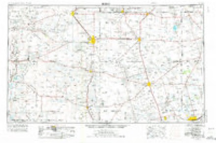
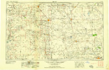
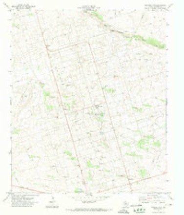
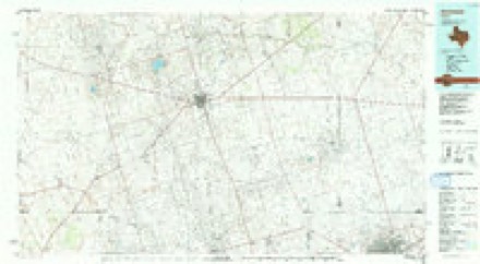
5 topographic sheets cover this place, the earliest surveyed in 1954 and the latest in 1991. It stands in the Andrews North census division. The Survey maps it on the Frankel City quadrangle.
Topographic sheets covering this place
4 surveys from 5 printed sheetsMatched by testing this settlement's coordinate against the published boundary of every sheet in the United States Geological Survey's historical collection. Each opens the scanned sheet at the Survey.
- 1954 USGS Hobbs quadrangle1:250000, 2 printings
- 1958 USGS Hobbs quadrangle1:250000
- 1971 USGS Frankel City quadrangle1:24000
- 1991 USGS Andrews quadrangle1:100000
Fires near this place
81 since 2005Regional context, not property-specific evidence. The federal wildfire occurrence database lists 81 fires within 5 miles of Frankel City between 2005 and 2016, burning about 4,472 acres in total. 9 started naturally. None was recorded as arson. Distance is straight-line from the map coordinates, so a fire counted here may appear on a neighbouring settlement's page as well.
| Reported cause | Fires |
|---|---|
| Equipment and vehicle use | 52 |
| Missing data/not specified/undetermined | 19 |
| Natural | 9 |
| Smoking | 1 |
The most recent of them, most recent first, with the day each was reported and the service that recorded it.
| Date | Cause | Size | Reported by | Name on the report |
|---|---|---|---|---|
| 28 September 2005 | Equipment and vehicle use | 10 acres | Texas A & M Forest Service | not named |
| 27 September 2009 | Missing data/not specified/undetermined | 1.5 acres | Texas A & M Forest Service | FLARE FIRE 4 |
| 26 September 2011 | Equipment and vehicle use | 18 acres | Texas A & M Forest Service | 2011539 |
| 26 September 2011 | Equipment and vehicle use | 8.0 acres | Texas A & M Forest Service | 2011540 |
| 2 September 2010 | Equipment and vehicle use | 69 acres | Texas A & M Forest Service | NW 5001 FIRE |
| 16 September 2011 | Equipment and vehicle use | 12 acres | Texas A & M Forest Service | UNIVERSITY Q FIRE |
| 14 September 2010 | Natural | 2.0 acres | Texas A & M Forest Service | 2010286 |
| 13 September 2008 | Equipment and vehicle use | 1.0 acres | Texas A & M Forest Service | not named |
Settlements close enough to share some of these fires:
Mines and quarries near this place
1 within 5 milesRegional context, not property-specific evidence. The federal mineral resources record lists 1 working within 5 miles of Frankel City: 1 producer. All of them still produce. What was taken out: Natural Gas, Sulfur. Distance is straight-line from the map coordinates, so a quarry counted here may appear on a neighbouring settlement's page as well.
| Where | Site | Commodity | Status | Recorded |
|---|---|---|---|---|
| South Fullerton Sulfur Plant | Natural Gas, Sulfur | Producer |
Storms near this place
28 since 1995Regional context, not property-specific evidence. The National Weather Service names Frankel City in 28 storm reports between 1995 and 2023: 18 hail, 7 thunderstorm wind, 2 flash flood, 1 tornado. No death or injury is recorded in these reports. Each account below is quoted exactly as the forecast office filed it, from the NOAA Storm Events Database, and each date opens the federal record of that event.
| When | Event | Place named | Harm | What the report says |
|---|---|---|---|---|
| June 2010 | Thunderstorm Wind | Frankel City | $20,000 | A land owner reported that a 4 foot tree was blown over and several 4 to 5 inch tree limbs were broken. In addition, the roof of a 30' by 50' barn was torn off and some of the home's roof shingles were damaged. |
| June 2012 | Thunderstorm Wind | Frankel City | $10,000 | A thunderstorm moved over Andrews County and produced a 70 mph wind gust five miles south southwest of Frankel City. These winds blew a telephone pole down on a car. The cost for the damage is a rough estimate. |
| January 2005 | Thunderstorm Wind | Frankel City | $10,000 | Severe thunderstorm winds blew a vehicle off of Texas Highway 176 in western Andrews County. The driver of the vehicle reported that small hail accompanied the severe winds. No injuries were reported. |
| June 2012 | Thunderstorm Wind | Frankel City | $8,000 | A thunderstorm moved over Andrews County and produced a 70 mph wind gust that knocked down telephone poles 0.25 miles east of Frankel City. The cost of the damage is an estimate. |
| June 2012 | Tornado (EF1) | Frankel City | $6,000 | A severe thunderstorm moved across Andrews County and produced a tornado about an eighth of a mile east of Frankle City, TX. A National Weather Service employee spotted the damage at about 9:30 PM CDT. The damage consisted of one power pole bent at a 60 degree angle to the south of FM1967 with power lines about ten feet above the road. A power pole to the north of the first one was snapped, and another power pole was bent slightly. Based on radar data, the circulation was over the affected area around 8:58 PM CDT, and the tornado was rated an EF-1 based on the damage reported. Since no other damage was reported, the path length and time were an estimate. |
| September 2014 | Flash Flood | Frankel City | $500 | Heavy rain moved across Andrews County and produced flash flooding just southeast of Frankel City. There was water over the intersection of State Highway 176 and County Road NW 5001. The cost of damage is a very rough estimate. |
| June 2023 | Hail | Frankel City | - | Two-inch hail was observed along Ranch Rd 181. |
| June 2022 | Hail | Frankel City | - | A thunderstorm produced hail up to golf ball size 15 miles south of Frankel City. There were accumulated hail piles several inches deep and covering the road. |
| October 2010 | Hail | Frankel City | - | Quarter sized hail occurred just west of the intersection of FM 3901 and SH 176. Cotton crop damage was reported, but the acreage was unknown. |
| March 2004 | Hail | Frankel City | - | A rather prolonged severe weather episode began late in the evening of the 3rd. The first severe thunderstorm to develop resulted in nickel size hail near the rural community of Frankel City in Andrews County. |
| April 2004 | Flash Flood | Frankel City | - | Flooding was reported at a guardhouse in western Andrews county. Additionally, reports indicated several feet of water on field roads. |
| November 2004 | Hail | Frankel City | - | Pea to nickel size hail covered the ground in portions of northwestern Andrews County. |
| October 2002 | Thunderstorm Wind | Frankel City | - | Hail to the size of quarters and 60 MPH winds were reported along the Texas/New Mexico border between Eunice and Frankel City. |
| June 1999 | Hail | Frankel City | - | The left-split cell of a storm that formed over Loving County, TX, moved to the northeast into southern Lea County, NM. The storm continued to the northeast, just missing Eunice, then dropped more hail in the northwest corner of Andrews County, TX. The storm quickly weakened after moving into Gaines County. |
| May 2022 | Hail | Frankel City | - | no account filed |
| May 2022 | Hail | Frankel City | - | no account filed |
| June 2022 | Hail | Frankel City | - | no account filed |
| June 2013 | Hail | Frankel City | - | no account filed |
| March 2006 | Hail | Frankel City | - | no account filed |
| October 2002 | Hail | Frankel City | - | no account filed |
| March 2000 | Hail | Frankel City | - | no account filed |
| March 2000 | Thunderstorm Wind | Frankel City | - | no account filed |
| March 2000 | Hail | Frankel City | - | no account filed |
| May 1999 | Hail | Frankel City | - | no account filed |
| May 1997 | Hail | Frankel City | - | no account filed |
| September 1996 | Hail | Frankel City | - | no account filed |
| September 1995 | Hail | Frankel City | - | no account filed |
| September 1995 | Thunderstorm Wind | Frankel City | - | no account filed |
Nearest settlements
The eight closest, with where each one stands in the county. Distances are straight-line, computed from the Geographic Names Information System coordinates.
| Map | Place | Distance | Sheets |
|---|---|---|---|
| Shafter Lake (historical) | 6.3 miles | 5 | |
| Florey | 11.2 miles | 5 | |
| Andrews | 13.3 miles | 5 | |
| McKinney Acres | 14.6 miles | 5 | |
| Waldon Place Windmill | 17.6 miles | 5 | |
| Coyote Corner | 19.4 miles | 5 | |
| Old Place Windmills | 19.6 miles | 5 | |
| Sixteen Corner Windmill | 28.1 miles | 5 |
Provenance
This settlement is recorded in the Geographic Names Information System as feature 1378322. The sheet list is computed by point-in-boundary test against the United States Geological Survey's historical topographic inventory. Both are works of the United States government and carry no copyright under 17 U.S.C. 105.
Wildfire. Short, Karen C. 2022. Spatial wildfire occurrence data for the United States, 1992-2020 [FPA_FOD_20221014]. 6th Edition. Fort Collins, CO: Forest Service Research Data Archive. https://doi.org/10.2737/RDS-2013-0009.6 Collected with United States Government funding and usable without additional permissions or fees.
Mines and quarries. USGS Mineral Resources Data System (MRDS) https://mrdata.usgs.gov/mrds/ A work of the United States government, no copyright under 17 U.S.C. 105.
Storms. NOAA National Centers for Environmental Information, Storm Events Database https://www.ncei.noaa.gov/stormevents/ A work of the United States government, no copyright under 17 U.S.C. 105. Narratives are quoted verbatim from the National Weather Service report and are not edited or summarised.