 Block
BlockBailey County, Texas
27 topographic sheets cover 11 settlements here.
Research this county
What the record shows
- 89 topographic sheet readings cover the county's settlements.
- The Geographic Names Information System records 11 populated places in this county; 11 are covered by at least one topographic sheet.
Photographs
1 photograph, 1936Taken for the Office of War Information and the Farm Security Administration, who photographed the country between 1935 and 1944. Works of United States government photographers, with no known restriction on use. Each opens its catalogue record.
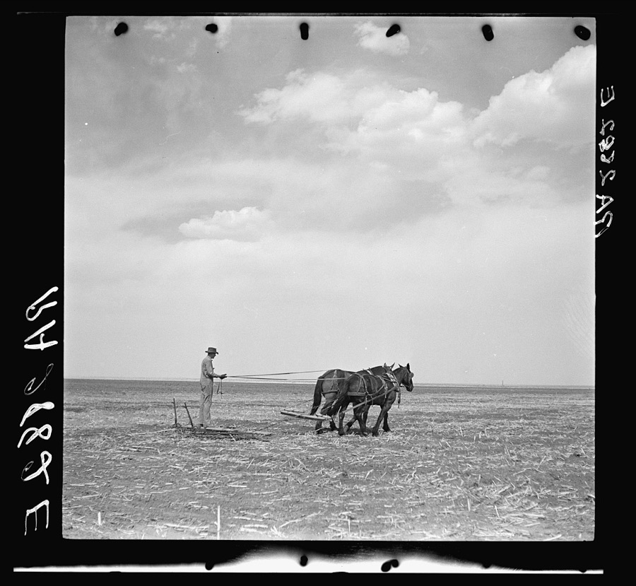
Rothstein, Arthur, 1936. Library of Congress
The county from the air
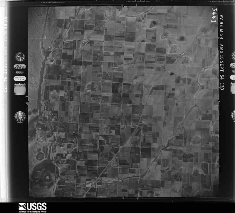
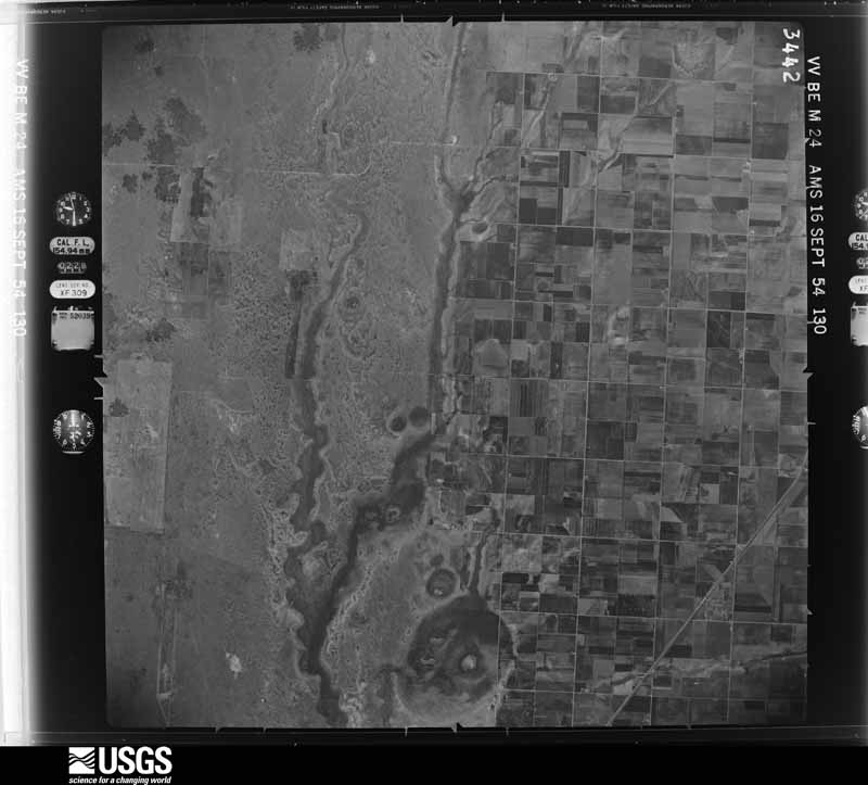
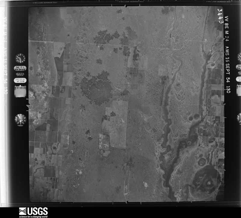
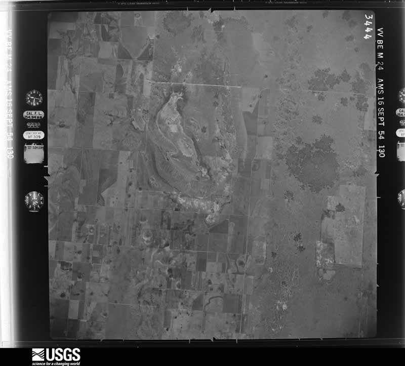
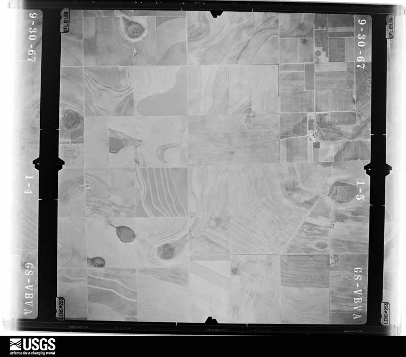
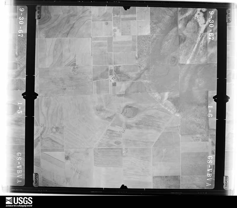
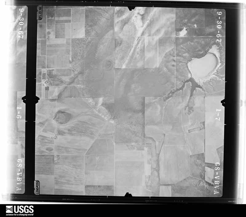
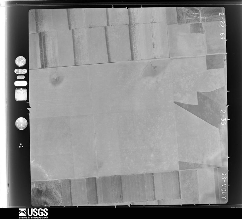
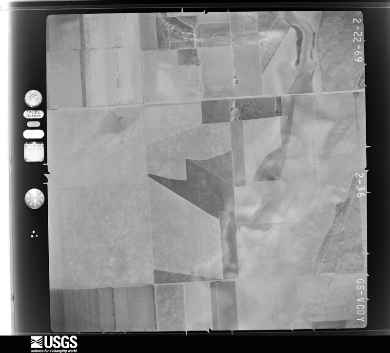
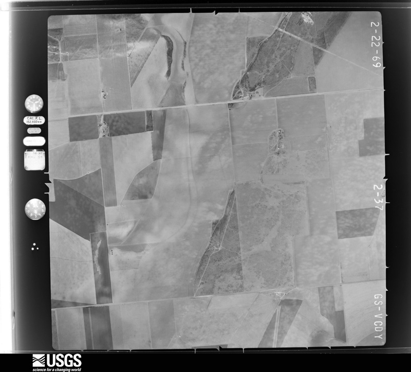
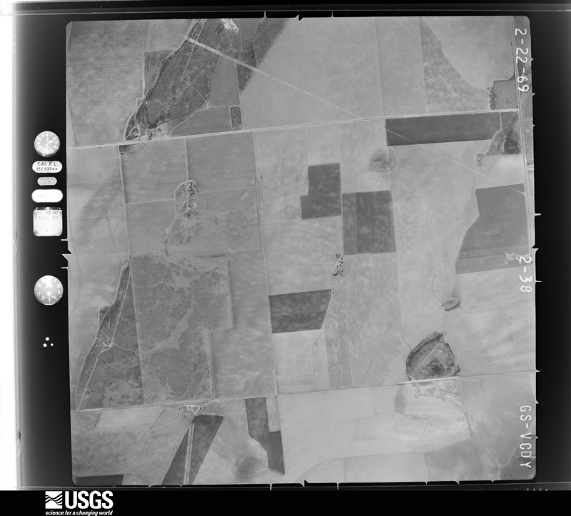
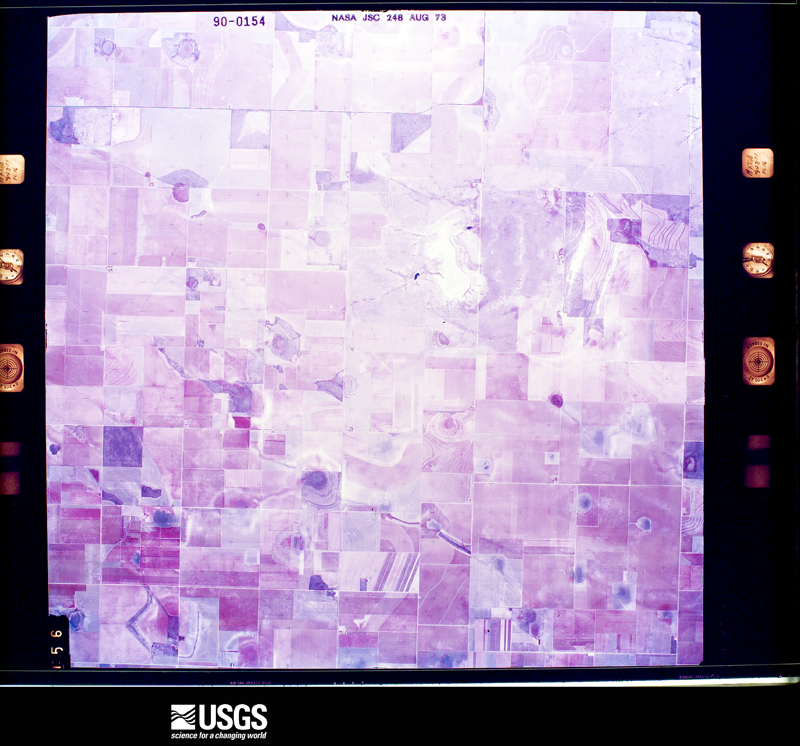
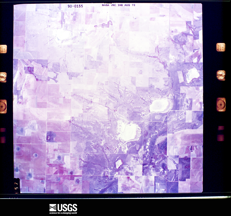
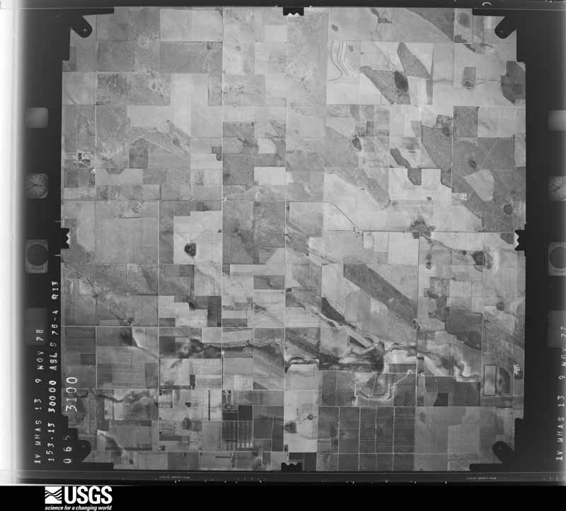
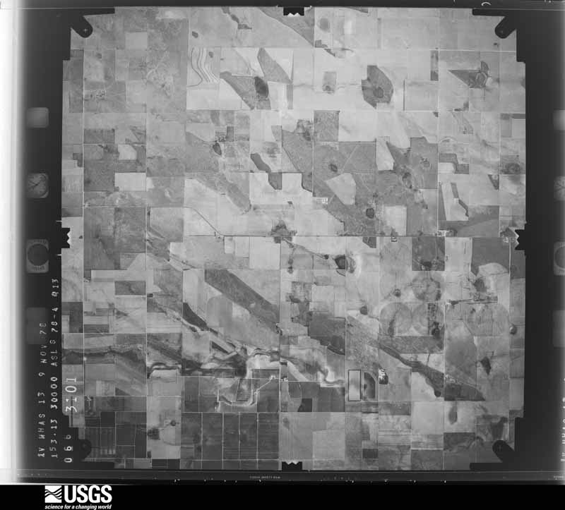
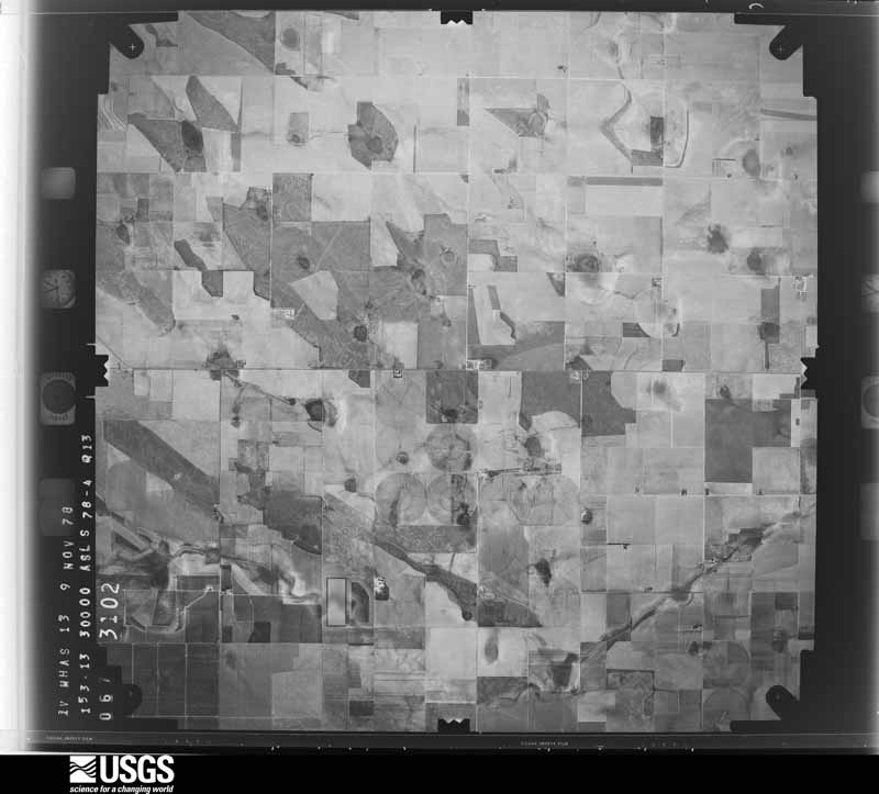
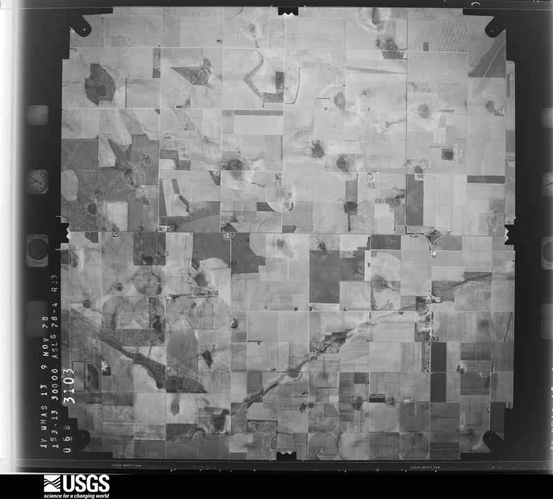
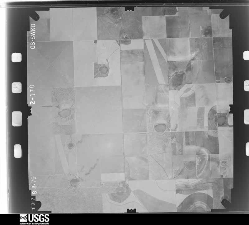
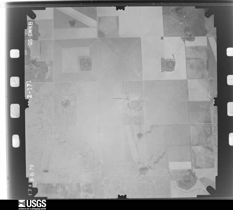
28 shownFlown by the U.S. Geological Survey between 1937 and 1989, the Aerial Photo Single Frames collection is the definitive mid-century view of the land: fields, roads and rivers as the camera saw them. The Survey holds 653 frames inside the rectangle that bounds this county; the 28 frames below were taken over the county itself, chosen across the decades of flights (at most four a year from that rectangle), so one flight cannot crowd out the rest. The full set is free to browse and download at EarthExplorer under the dataset Aerial Photo Single Frames.









Weather records
5 stationsThe thermometers that kept this county's weather, as the federal records hold them. The extremes below are measured values from those records, not estimates.
- MULESHOE #1 1921 to 2026, hottest 43.3 C, coldest -29.4 C
- MULESHOE # 2 1948 to 1951
- MULESHOE NWR 1980 to 2026, hottest 44.4 C, coldest -23.9 C
- MULESHOE 19 S 2004 to 2026, hottest 42.8 C, coldest -23.7 C
- MULESHOE 1.2 N 2012 to 2026
The 1950 census, district by district
10 districtsWho lived here in 1950, one enumeration district at a time, as the Census Bureau described each district. Each row opens its official National Archives result, with Population Schedules and ED Maps available there.
- 9-1Justice Precinct 1: Muleshoe town: Muleshoe town - That part Bounded by Town limits; Town limits; Paul; Williams, W. 1st, Town limits
- 9-2Muleshoe town - That part Bounded by Town limits W. 1st, Williams; Paul, Town limits; Town limits
- 9-3Muleshoe town - That part Bounded by Paul; Metsker; Town limits; Town limits
- 9-4Muleshoe town - That part Bounded by Paul; Town limits; Town limits; Metsker
- 9-5N/A
- 9-6N/A
- 9-7N/A
- 9-8N/A
- 9-9N/A
- 9-10N/A
Wildfire, 1998 to 2020
447 firesEvery wildfire the federal occurrence database records inside this county: 447 of them, burning about 53,894 acres. 66 started naturally and 1 was recorded as arson. Each settlement page carries the fires within five miles of it.
| Reported cause | Fires |
|---|---|
| Missing data/not specified/undetermined | 195 |
| Debris and open burning | 92 |
| Natural | 66 |
| Equipment and vehicle use | 66 |
| Power generation/transmission/distribution | 22 |
| Smoking | 3 |
| Arson/incendiarism | 1 |
| Misuse of fire by a minor | 1 |
| Recreation and ceremony | 1 |
The five largest, by the area the report gives. None of them was recorded as arson.
| Date | Cause | Size | Reported by | Name on the report |
|---|---|---|---|---|
| 28 January 2008 | Missing data/not specified/undetermined | 11,012 acres | Texas A & M Forest Service | not named |
| 2 March 2016 | Missing data/not specified/undetermined | 10,000 acres | Texas A & M Forest Service | 2016022 |
| 10 May 2010 | Power generation/transmission/distribution | 3,000 acres | Texas A & M Forest Service | GRASS 3 |
| 7 November 2009 | Missing data/not specified/undetermined | 1,920 acres | Texas A & M Forest Service | 2009081 |
| 7 April 2016 | Missing data/not specified/undetermined | 1,900 acres | Texas A & M Forest Service | 2016040 |
| 8 February 2006 | Missing data/not specified/undetermined | 1,200 acres | Texas A & M Forest Service | not named |
| 20 February 2015 | Equipment and vehicle use | 1,200 acres | Texas A & M Forest Service | 2015007 |
| 12 May 2009 | Natural | 1,000 acres | Texas A & M Forest Service | 2009037 |
Every settlement page carries the fires within five miles of it - see the settlement index below.
Storms, 1955 to 2025
60 of 348 shownThe NOAA Storm Events Database holds 348 reports for this county, causing no deaths, 1 injury and about $5,055,170 in recorded property damage. Each settlement page carries the reports that name it.
| Kind of event | Reports |
|---|---|
| Hail | 187 |
| Thunderstorm Wind | 76 |
| Tornado | 57 |
| Flash Flood | 20 |
| Flood | 6 |
| Heavy Rain | 1 |
| Dust Devil | 1 |
The most serious of them, by death, then injury, then recorded damage. The accounts are quoted exactly as the forecast office filed them.
| When | Event | Place named | Harm | What the report says |
|---|---|---|---|---|
| May 1963 | Tornado (F2) | not stated | 1 hurt | no account filed |
| June 2014 | Hail | Muleshoe | $500,000 | Law enforcement personnel estimated hail of ping pong to golf ball size from Muleshoe to just south of the city. Strong to severe winds accompanying the hail enhanced the hail damage to roofs and sidings of homes, vehicles and windows. |
| June 2014 | Thunderstorm Wind | Muleshoe Warren Arpt | $500,000 | A strong low-level mesocyclone accompanied by destructive rear flank downdraft (RFD) winds tracked southeastward from Muleshoe to about 12 miles southeast of Muleshoe. Although law enforcement reported a tornado, no definitive evidence of such could be determined from the NWS storm survey conducted in the following days. Combined with direct accounts from storm chasers, the storm survey determined that significant straight line winds were to blame for the majority of damage discovered generally north of Highway 84. Maximum sustained winds were estimated between 80 and 90 mph and created much damage to rural homes, a dairy business, farm equipment, and area power poles. The worst damage was dealt to the Track Dairy where several lightweight structures such as shade canopies were destroyed. At least eight head of cattle perished at this location from collapsing structures and another 30 to 40 were injured. This damage swath ended north of Sudan along Farm-to-Market 303 where a center pivot was overturned. |
| July 2009 | Thunderstorm Wind | Needmore | $500,000 | The convective complex and embedded high-precipitation supercell that impacted parts of Parmer County subsequently moved southward over Bailey County. A post storm survey by Texas Tech University West Texas Mesonet meteorologists revealed a swath of intense wind damage from between Needmore and Baileyboro southward to Enochs. At least 100 utility poles were blown down, some broken near ground-level, and several center irrigation pivots were destroyed. Minor roof damage was noted to several homes in Enochs. The winds were occasionally accompanied with nickel size hail in the Enochs vicinity. Wind-driven hail contributed to significant cotton losses. Wind speeds were estimated to be near 80 mph and event times were estimated based on radar data. |
| June 2008 | Hail | Muleshoe | $500,000 | Emergency management officials reported that giant hail stones that ranged in size from baseballs to softballs resulted in significant damages throughout the city of Muleshoe around 20:00 CST. Numerous windshields were knocked out of vehicles and many structures sustained heavy roof and window damage. Hail even punctured the interior walls of one mobile home. No injuries were reported. |
| September 2017 | Hail | Enochs | $300,000 | Broadcast media relayed damage photos of a significant hailstorm that struck the community of Bula. Wind-driven hail as large as baseballs pummeled crops and caused extensive damage to siding, windows and roofs to dozens of buildings in the area. |
| June 2016 | Thunderstorm Wind | Muleshoe Warren Arpt | $250,000 | A farmer in Bailey County reported hail and wind damage to his property north of Muleshoe. Several center pivot irrigation systems were knocked over. Also, a small shed was destroyed by high winds. |
| May 2008 | Thunderstorm Wind | Muleshoe | $250,000 | Severe thunderstorm winds resulted in considerable damage in the Muleshoe vicinity between 17:35 and 17:45 CST on the 25th. Extensive damage occurred to a pair of trailer homes just southeast of the city, when one was rolled by the winds and a second home sustained heavy roof damage. A barn was additionally reported to have been destroyed and large pieces of debris obstructed a county road just northeast of Muleshoe. East of the city, extensive damage occurred at a cattle dairy, where 1,500 stables were destroyed and at least three calves were killed. Local utility companies reported nearly 100 power poles were downed by the winds. The damaging winds were accompanied by large hail. The Texas Tech University West Texas Mesonet near Muleshoe recorded a peak wind gust of 59 mph at 17:45 CST, but winds associated with the damaging were likely stronger. No injuries were reported. |
| May 1991 | Tornado (F3) | not stated | $250,000 | no account filed |
| June 1989 | Tornado (F2) | not stated | $250,000 | no account filed |
| June 1982 | Tornado (F1) | not stated | $250,000 | no account filed |
| June 1982 | Tornado (F1) | not stated | $250,000 | no account filed |
| May 1969 | Tornado (F1) | not stated | $250,000 | no account filed |
| June 2003 | Thunderstorm Wind | Maple | $150,000 | Strong thunderstorm wind damaged the roof of the school and destroyed several center pivot irrigation systems. |
| May 2017 | Hail | Muleshoe | $120,000 | Copious amounts of hail up to golf ball size caused various degrees of damage to vehicles and roofing shingles, mainly across southern sections of Muleshoe. |
| September 2003 | Hail | Needmore | $100,000 | Storm spotters affiliated with the Muleshoe PD reported baseball size hail. |
| June 2003 | Hail | Muleshoe | $100,000 | The public reported golfball size hail. |
| May 2019 | Tornado (EF0) | Progress | $50,000 | Law enforcement initially reported a tornado near the town of Lariat. Broadcast media relayed a picture of a funnel cloud near the same time and location of the previous report. A NWS storm survey revealed that this tornado began in northern Bailey County along County Road 54 between Farm to Market Road 3125 and County Road 1038. This tornado went to the north-northeast to overturn a center pivot irrigation system before crossing into Parmer County and turning to the north-northwest. |
| May 1994 | Hail | Flomot | $50,000 | no account filed |
| May 1994 | Thunderstorm Wind | Flomot | $50,000 | no account filed |
| September 2019 | Flood | Muleshoe | $25,000 | Widespread rain and thunderstorms brought heavy rainfall which led to runoff. This caused significant street flooding in the city of Muleshoe which contributed to several vehicle wrecks. |
| March 2007 | Thunderstorm Wind | Enochs | $25,000 | Multiple structures in Enochs sustained damage as a line of severe thunderstorms characterized by a bow-shaped radar signature impacted the community. At least three structures with tin roofs sustained heavy wind damage. Road signs were blown down and a number of utility lines were downed. No injuries were reported. Damage estimates totalled $25,000. |
| June 2007 | Hail | Muleshoe | $25,000 | Numerous law enforcement officials reported large hail that ranged in size from pennies to golf balls near Muleshoe between 18:48 and 19:36 CST. Initial reports indicated golf ball size hail northwest of the city along U.S. Highway 84. A police cruiser was damaged by the hail. By 19:09 CST penny size hail was reported in Muleshoe. |
| October 2002 | Hail | Bula | $25,000 | Golfball size hail broke windows and damaged the roofs of homes. |
| April 2001 | Hail | Muleshoe | $25,000 | Golfball size hail was reported by law enforcement officials. |
| April 2001 | Hail | Muleshoe | $25,000 | Golfball size hail was reported by law enforcement officials. |
| June 1992 | Tornado (F2) | not stated | $25,000 | no account filed |
| July 1978 | Tornado (F0) | not stated | $25,000 | no account filed |
| May 1972 | Tornado (F1) | not stated | $25,000 | no account filed |
| April 1971 | Tornado (F2) | not stated | $25,000 | no account filed |
| May 1963 | Tornado (F3) | not stated | $25,000 | no account filed |
| August 2015 | Hail | Muleshoe | $20,000 | The Muleshoe Police Department and broadcast media reported hailstones up to golf ball size. Minor damage to some vehicles was noted. |
| June 2014 | Thunderstorm Wind | Muleshoe | $10,000 | The Texas Tech University West Texas Mesonet site in Muleshoe sampled a 59 mph wind gust. In addition, numerous utility poles, power lines, and trees were reported downed near and south of town. |
| May 2010 | Hail | Progress | $10,000 | Trained weather spotters reported very large hail of 3.75 inches in rural Bailey County. Minor damage was reported to vehicles along U.S. Highway 84. |
| July 2009 | Thunderstorm Wind | Muleshoe | $10,000 | Emergency management officials reported that thunderstorm winds blew down utility lines and broke two inch diameter tree limbs along U.S. Highway 70 east of Muleshoe. |
| March 2007 | Tornado (EF0) | Muleshoe | $10,000 | An apparent tornado crossed Farm to Market Road 1760, fifteen miles west of Muleshoe. Several utility lines and poles were damaged. Damage corresponds to an intense low level Doppler circulation. |
| May 2019 | Hail | Needmore | $5,000 | A cracked windshield and hail dents were noted to a storm chaser's vehicle. |
| October 2007 | Hail | Maple | $5,000 | Law enforcement officials reported that tennis ball size hail fell in the community of Maple from an isolated severe thunderstorm over southern Bailey county. No significant damage was reported. |
| June 2003 | Thunderstorm Wind | Needmore | $5,000 | Strong thunderstorm wind downed several power poles. |
| May 1995 | Thunderstorm Wind | Muleshoe | $5,000 | no account filed |
| May 1994 | Thunderstorm Wind | Muleshoe | $5,000 | no account filed |
| December 1993 | Thunderstorm Wind | Muleshoe | $5,000 | no account filed |
| June 2000 | Thunderstorm Wind | Needmore | $3,000 | Strong thunderstorm wind damaged two barns. |
| October 1991 | Tornado (F0) | not stated | $2,500 | no account filed |
| June 1965 | Tornado (F2) | not stated | $2,500 | no account filed |
| April 1960 | Tornado (F1) | not stated | $2,500 | no account filed |
| May 1957 | Tornado (F0) | not stated | $2,500 | no account filed |
| June 2017 | Thunderstorm Wind | Muleshoe | $2,000 | A Texas Tech University West Texas mesonet site near Muleshoe measured a wind gust to 72 mph at 2220 CST and then 82 mph at 2225 CST. Several windows were destroyed in a restaurant in Muleshoe. |
| October 2000 | Thunderstorm Wind | Muleshoe | $2,000 | Strong wind blew down power lines. |
| July 1997 | Thunderstorm Wind | Needmore | $1,000 | no account filed |
| May 2015 | Thunderstorm Wind | Bula | $800 | Local media relayed a report of carport damage in Bula as severe downburst winds moved overhead. |
| May 1994 | Thunderstorm Wind | Paducah | $500 | no account filed |
| May 1994 | Thunderstorm Wind | not stated | $500 | no account filed |
| May 1991 | Tornado (F1) | not stated | $250 | no account filed |
| May 1991 | Tornado (F0) | not stated | $30 | no account filed |
| June 1983 | Tornado (F1) | not stated | $30 | no account filed |
| July 1981 | Tornado (F0) | not stated | $30 | no account filed |
| May 1977 | Tornado (F1) | not stated | $30 | no account filed |
| April 2025 | Hail | Baileyboro | - | A report on mPing indicated tennis ball size hail west of Needmore. No damage was reported. |
| April 2025 | Hail | Muleshoe | - | Local broadcast media relayed a report and an NWS cooperative weather observer observed golf ball size hail in Muleshoe. |
Mines and quarries
1 recordedThe Survey's mineral resources record lists 1 working inside this county. It still produces. Each settlement page carries the workings within five miles of it.
| Commodity | Workings |
|---|---|
| Limestone, General | 1 |
The least common of them first, because a county's hundredth gravel pit says nothing its first ten did not.
| Where | Site | Commodity | Status | Recorded |
|---|---|---|---|---|
| Bailey Pit | Limestone, General | Producer |
Every populated place in the county
11Named settlements recorded in the Geographic Names Information System, each with the topographic sheets covering it. Villages, hamlets and abandoned places alike. Each is shown with the nearest named watercourse or landform and the survey quadrangle it falls on.
Provenance
- Topographic sheets. USGS Historical Topographic Map Collection, county index, measured from the bulk metadata.
- Fire insurance maps. Library of Congress Sanborn collection, faceted to this county.
- Photographs. Each place queried individually against the Library of Congress Prints and Photographs search.
- Wildfire. Short, Karen C. 2022. Spatial wildfire occurrence data for the United States, 1992-2020 [FPA_FOD_20221014]. 6th Edition. Fort Collins, CO: Forest Service Research Data Archive. https://doi.org/10.2737/RDS-2013-0009.6 Collected with United States Government funding and usable without additional permissions or fees.
- Mines and quarries. USGS Mineral Resources Data System (MRDS) https://mrdata.usgs.gov/mrds/ A work of the United States government, no copyright under 17 U.S.C. 105.
- Storms. NOAA National Centers for Environmental Information, Storm Events Database https://www.ncei.noaa.gov/stormevents/ A work of the United States government, no copyright under 17 U.S.C. 105. Narratives are quoted verbatim from the National Weather Service report and are not edited or summarised.