Block
BlockFrom the record
40 National Register listings published here.
Sources: the National Register database, National Park Service
81 topographic sheets and 15 fire insurance atlases across 4 places.
40 National Register listings published here.
Sources: the National Register database, National Park Service
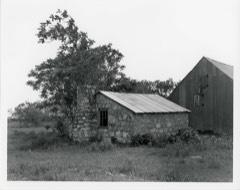
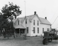
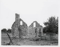
Taken for the Office of War Information and the Farm Security Administration, who photographed the country between 1935 and 1944. Works of United States government photographers, with no known restriction on use. Each opens its catalogue record.







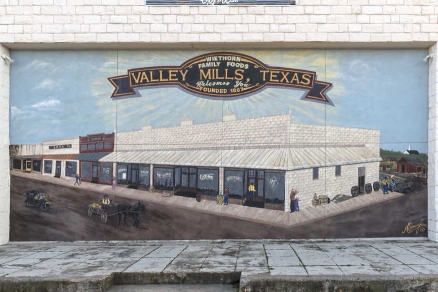
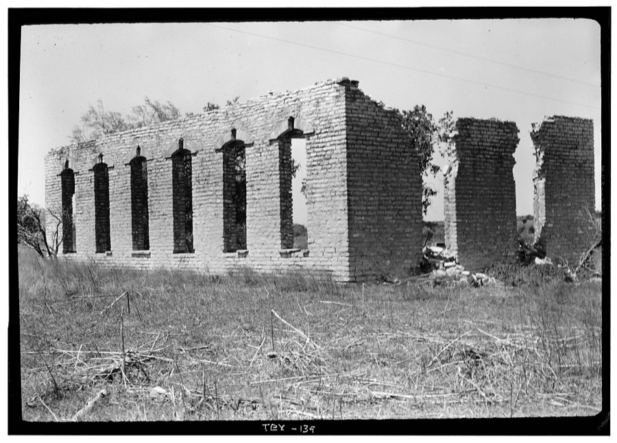
Every property in this county listed on the National Register of Historic Places, with the year it was listed and the federal nomination document.
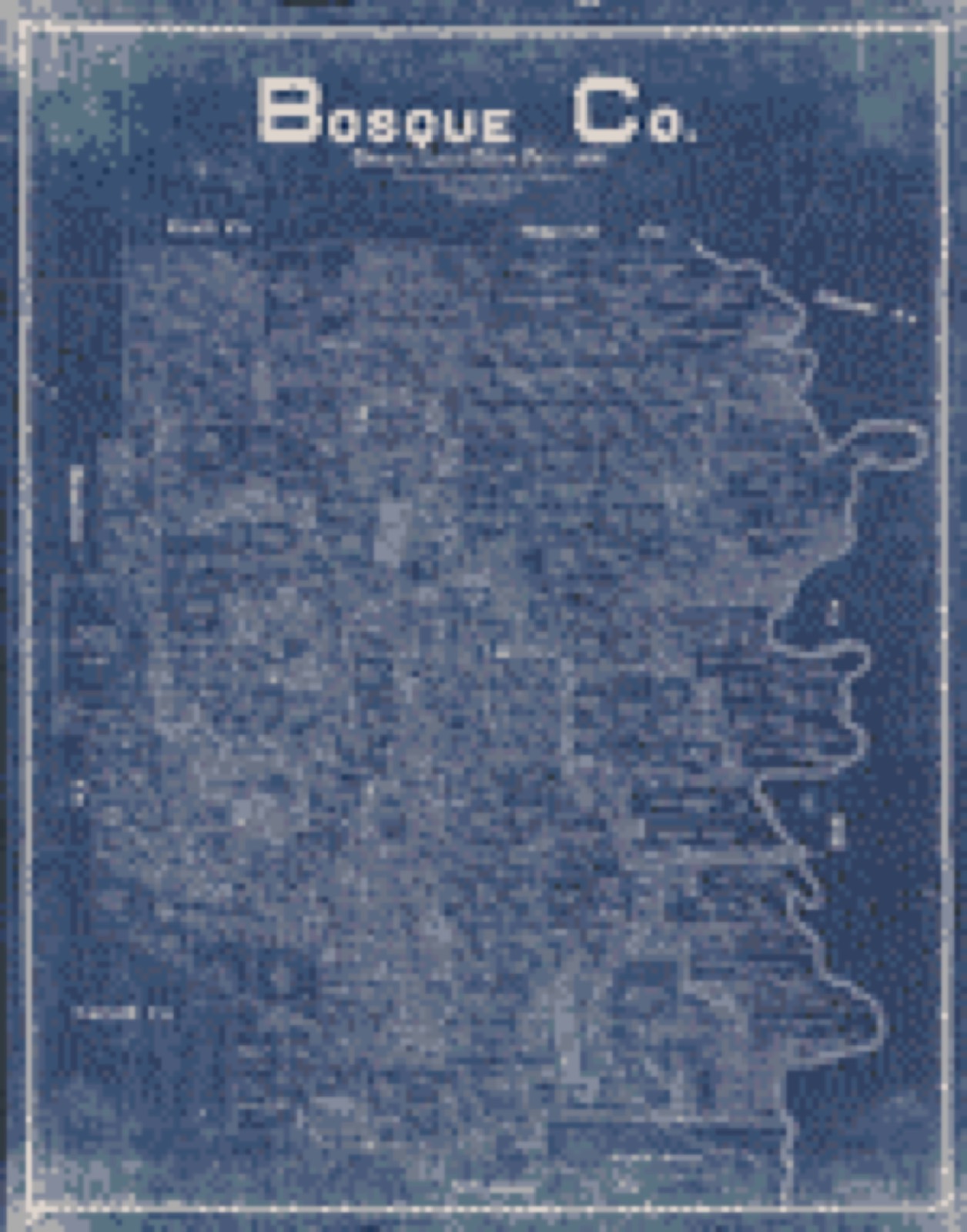
Drawn when these were printed as single large sheets: the town seen from the air, and the county divided into its farms with every owner named. Each opens the original at the Library of Congress.

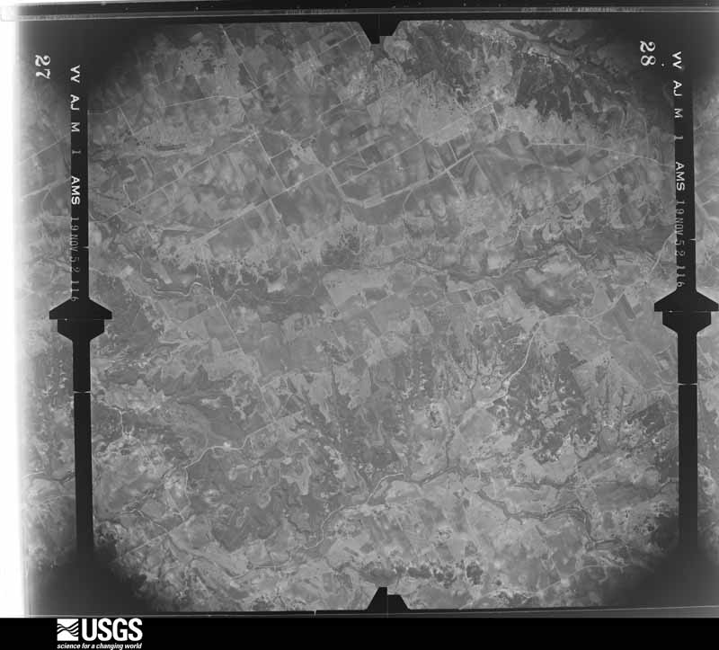
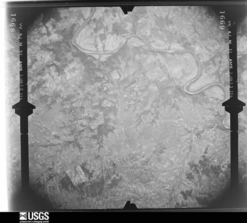
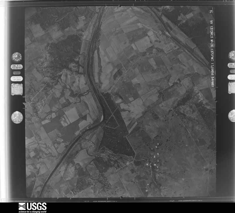
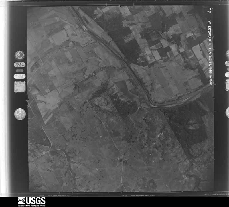
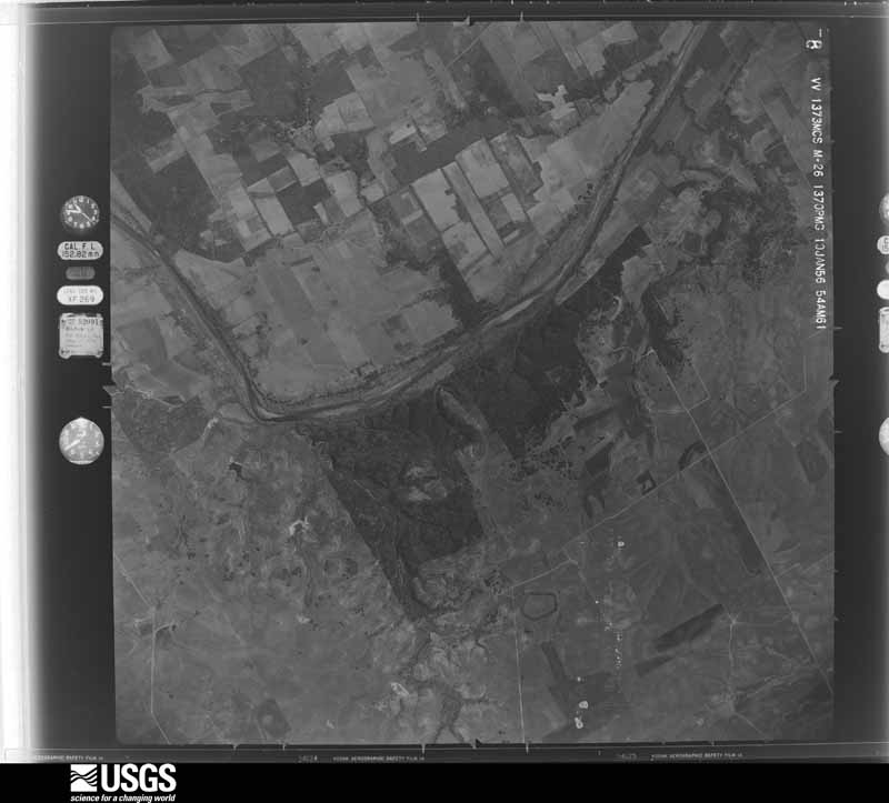
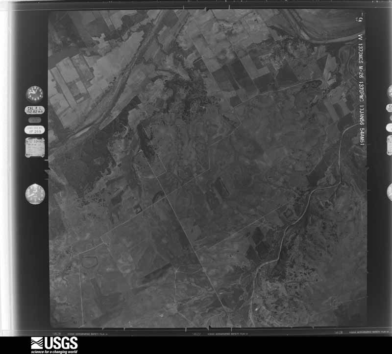
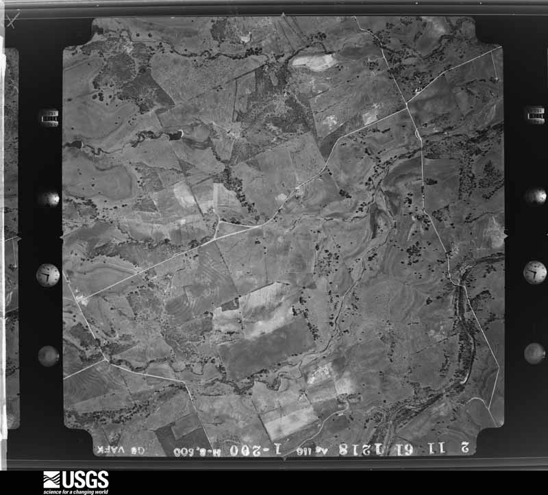
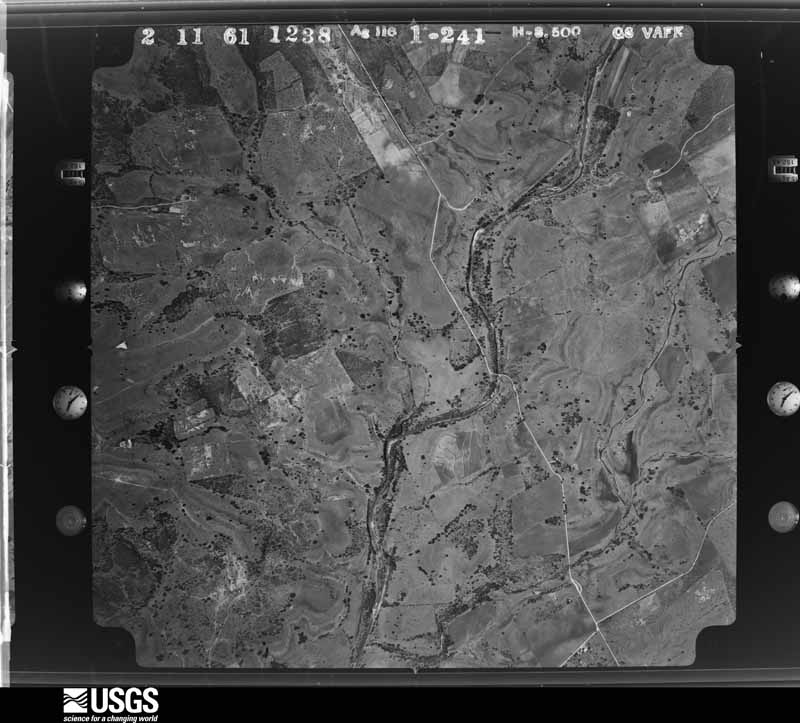
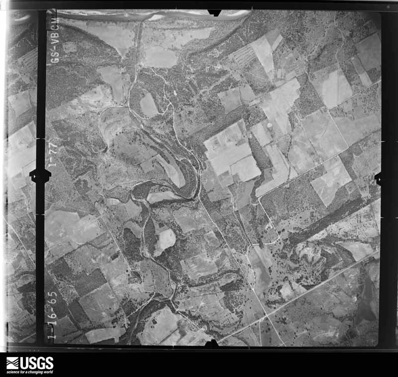
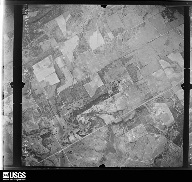
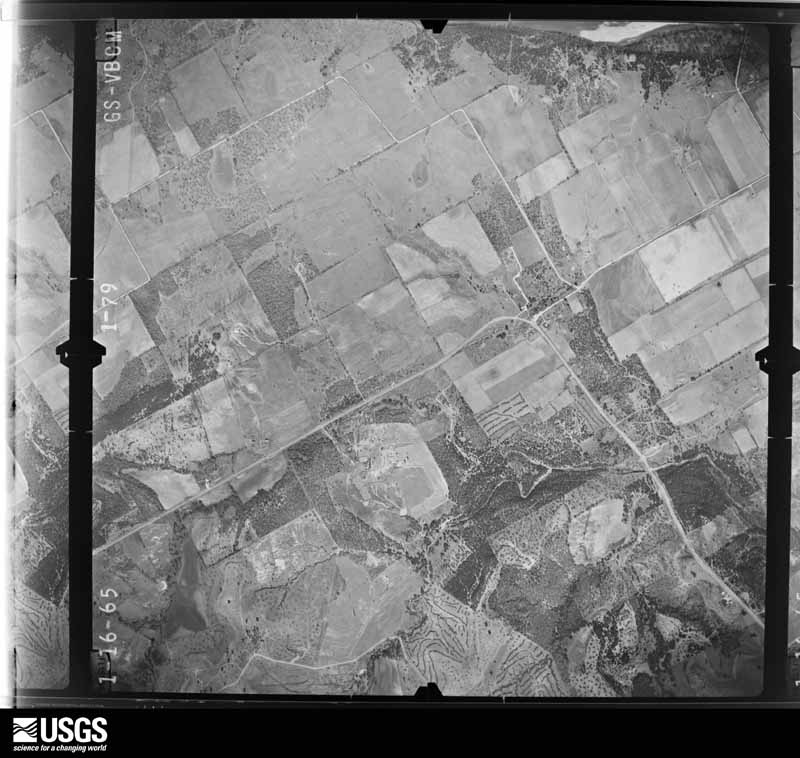
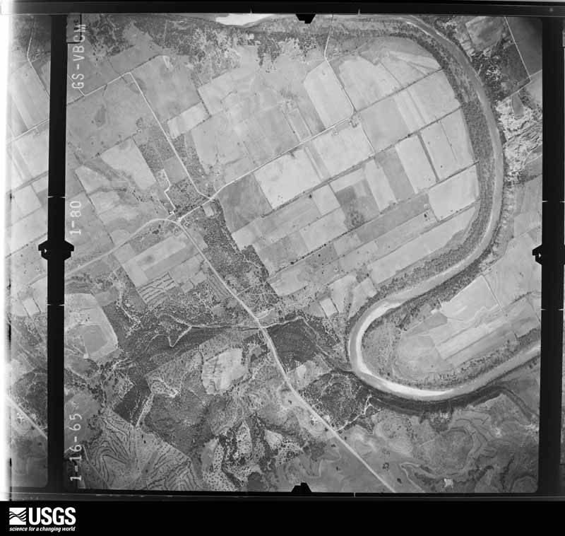
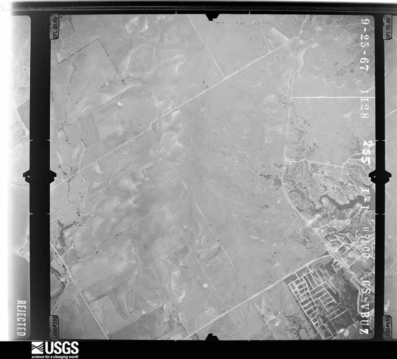
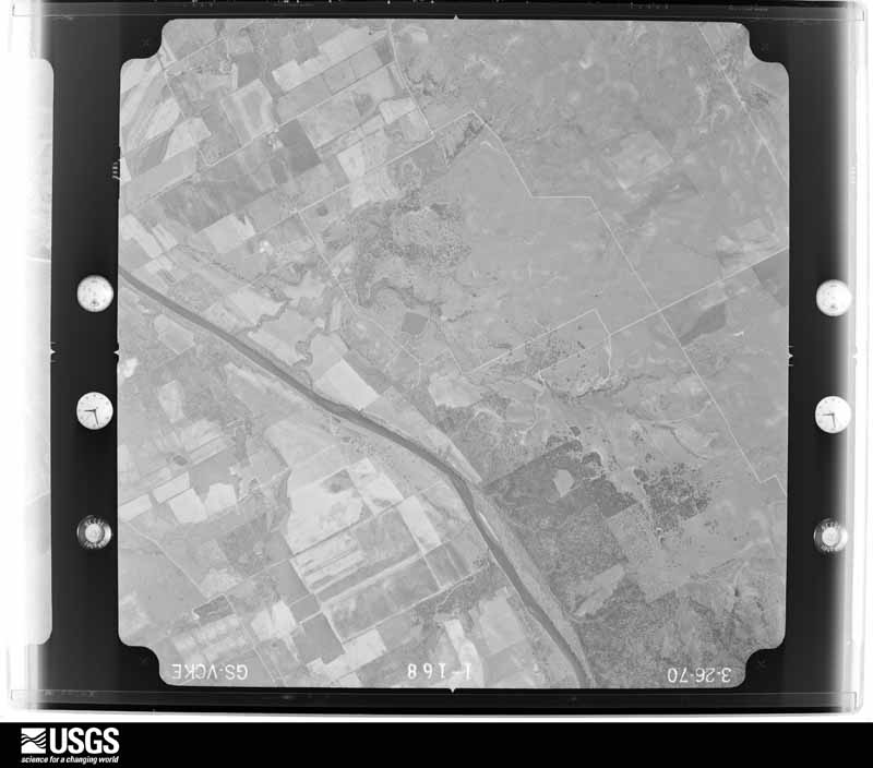
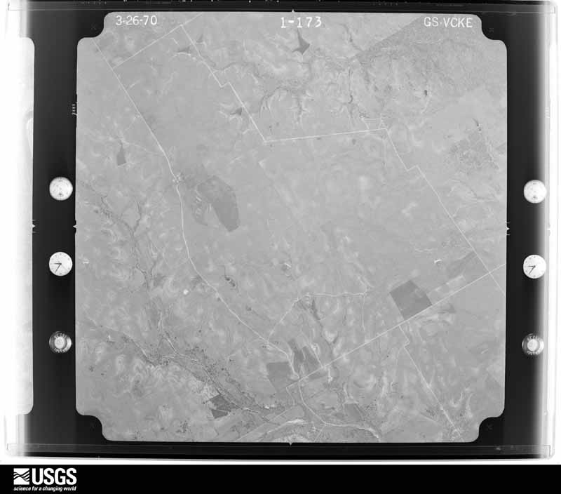
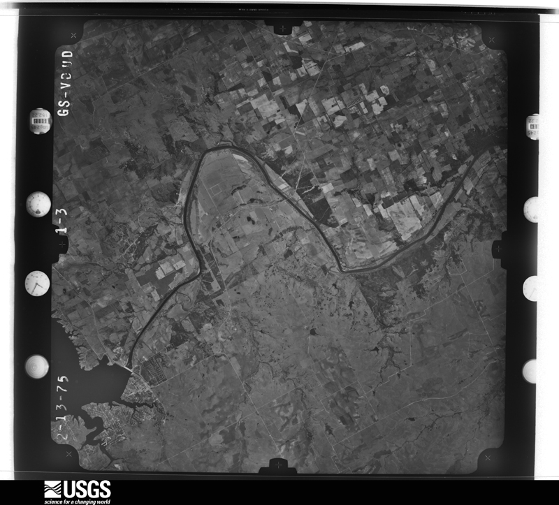
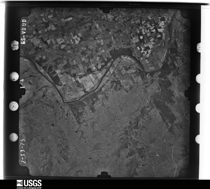
Flown by the U.S. Geological Survey between 1937 and 1989, the Aerial Photo Single Frames collection is the definitive mid-century view of the land: fields, roads and rivers as the camera saw them. The Survey holds 982 frames inside the rectangle that bounds this county; the 36 frames below were taken over the county itself, chosen across the decades of flights (at most four a year from that rectangle), so one flight cannot crowd out the rest. The full set is free to browse and download at EarthExplorer under the dataset Aerial Photo Single Frames.






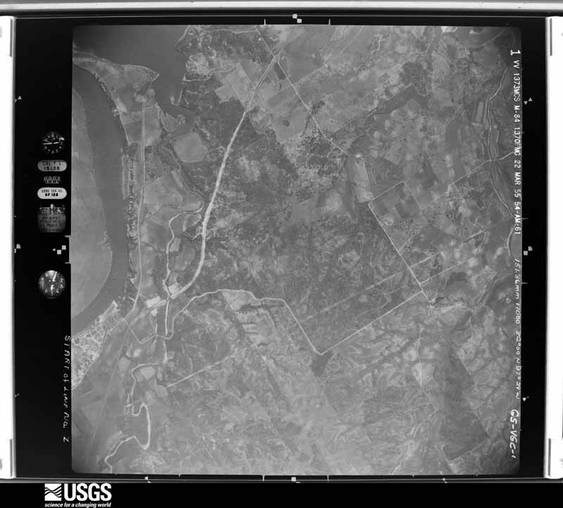
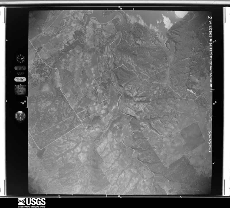
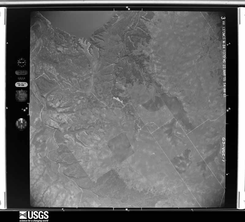
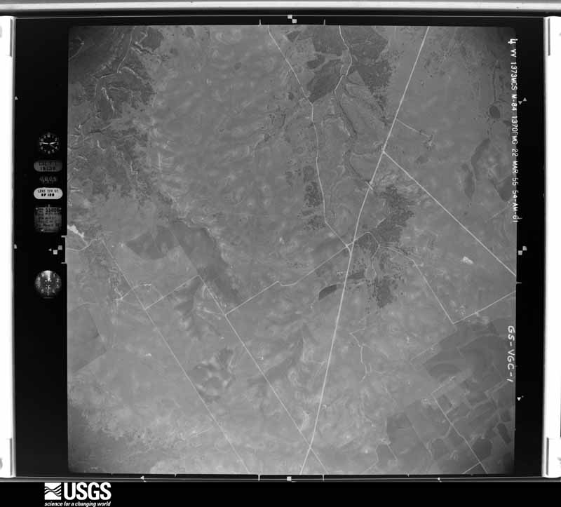









The thermometers that kept this county's weather, and the gages that measured the flow of its streams, as the federal records hold them. The extremes below are measured values from those records, not estimates.
Who lived here in 1950, one enumeration district at a time, as the Census Bureau described each district. Each row opens its official National Archives result, with Population Schedules and ED Maps available there.
Every wildfire the federal occurrence database records inside this county: 1,245 of them, burning about 24,311 acres. 28 started naturally and 36 were recorded as arson. Each settlement page carries the fires within five miles of it.
| Reported cause | Fires |
|---|---|
| Debris and open burning | 685 |
| Missing data/not specified/undetermined | 236 |
| Equipment and vehicle use | 171 |
| Power generation/transmission/distribution | 43 |
| Arson/incendiarism | 36 |
| Natural | 28 |
| Smoking | 20 |
| Railroad operations and maintenance | 10 |
| Recreation and ceremony | 10 |
| Misuse of fire by a minor | 6 |
The five largest, by the area the report gives. Two of them were set deliberately.
| Date | Cause | Size | Reported by | Name on the report |
|---|---|---|---|---|
| 11 March 2011 | Debris and open burning | 4,044 acres | Texas A & M Forest Service | BIG TRICKLE RANCH FIRE |
| 24 July 2005 | Missing data/not specified/undetermined | 1,500 acres | Texas A & M Forest Service | not named |
| 3 September 2011 | Power generation/transmission/distribution | 958 acres | Texas A & M Forest Service | CEDAR RIDGE FIRE |
| 4 August 2005 | Missing data/not specified/undetermined | 675 acres | Texas A & M Forest Service | not named |
| 1 August 2003 | Arson/incendiarism | 600 acres | Texas A & M Forest Service | CENTRAL TX - 25 |
| 3 August 2005 | Missing data/not specified/undetermined | 575 acres | Texas A & M Forest Service | not named |
| 24 September 2005 | Arson/incendiarism | 400 acres | Texas A & M Forest Service | not named |
| 8 September 2011 | Debris and open burning | 300 acres | Texas A & M Forest Service | FIRE 219 |
Every settlement page carries the fires within five miles of it - see the settlement index below.
The NOAA Storm Events Database holds 470 reports for this county, causing 5 deaths, 5 injuries and about $8,023,750 in recorded property damage. Each settlement page carries the reports that name it.
| Kind of event | Reports |
|---|---|
| Hail | 249 |
| Thunderstorm Wind | 114 |
| Flash Flood | 55 |
| Tornado | 39 |
| Flood | 9 |
| Lightning | 3 |
| Heavy Rain | 1 |
The most serious of them, by death, then injury, then recorded damage. The accounts are quoted exactly as the forecast office filed them.
| When | Event | Place named | Harm | What the report says |
|---|---|---|---|---|
| May 2000 | Tornado (F3) | Laguna Park | 2 killed, $3,000,000 | A tornado formed over the central part of Lake Whitney at approximately 1610 CST. The tornado moved south and dissipated near the dam at 1625 CST. The tornado caused two deaths, both of which occurred in the same home, but no other injuries. The most significant damaged occurred at the Lakewood Harbor Subdivision, three miles northwest of the Dam, around 1615 CST. 38 homes were destroyed and 27 others were damaged. |
| May 2023 | Lightning | West Womack Arpt | 2 killed | A father and his son were struck by lightning walking home from the bus stop. The father died the same day but the son died weeks later, in June. |
| April 2016 | Flash Flood | Kopperl | 1 killed, $20,000 | According to late published newspaper reports, a man was found dead inside his truck which was submerged in a creek that feeds into the upper end of Lake Whitney / Brazos River in Bosque County. Reports suggest the truck was driving on Bosque County Road 1190, when the vehicle was swept off the roadway. |
| April 1994 | Tornado (F2) | Iredell | 1 hurt, $500,000 | Tornado number one was on the ground intermittently for about one mile. A grain silo was unroofed, one house destroyed, two mobile homes destroyed, a barn was destroyed, and at least 20 telephone poles were blown down. There was one minor injury. |
| June 1980 | Tornado (F2) | not stated | 1 hurt, $250,000 | no account filed |
| June 1989 | Thunderstorm Wind | not stated | 1 hurt | no account filed |
| June 1989 | Thunderstorm Wind | not stated | 1 hurt | no account filed |
| April 1954 | Tornado (F1) | not stated | 1 hurt | no account filed |
| April 2016 | Flash Flood | Clifton | $500,000 | The Bosque County emergency manager reported Farm to Market Road 219 at SH 6 was closed due to flash flooding. During the late morning hours, some homes in Clifton had to be evacuated due to rising flood waters. |
| April 1994 | Tornado (F1) | Morgan | $500,000 | A brief touchdown destroyed a mobile home and heavily damaged two houses. |
| December 2006 | Tornado (F2) | Clifton | $400,000 | The National Weather Service in Fort Worth conducted a damage survey and concluded a tornado formed east of Clifton. The tornado took a northeast track and went on to damage trees along CR 3355 just south of FM 708. The tornado also heavily damaged a turkey farm at the intersection of CR 3355 and FM 708. Debris from the turkey farm was scattered over a quarter mile northeast of the farm. The tornado continued northeast and heavily damaged two barns on CR 3440 south of the Womack community. Trees and fences were damaged along CR 3410 and CR 3415 just south and east of Womack. The tornado then crossed FM 219 east of Womack and dissipated near the intersection of FM 219 and Highway 22. |
| July 2007 | Flash Flood | Meridian | $250,000 | Highway 22 near Meridian was flooded, and the Bosque River flooded the city park and forced the evacuation of a jail. Near Valley Mills, Highway 56 was flooded and a bridge on CR 3491 was damaged. The Bosque River also flooded Riverside Drive and Whipple Bridge. |
| August 2022 | Thunderstorm Wind | Meridian | $200,000 | Downburst thunderstorm winds damaged several trees and dislodged a dock on the lake at Meridian State Park. Several large, healthy tree branches were broken and entire trees were knocked down. |
| January 2017 | Tornado (EF0) | Moshiem | $200,000 | A National Weather Service storm survey crew found evidence of damage consistent with EF-2 winds in Coryell County. Two homes were damaged to the point where most of their roof was removed. Several barns were destroyed as well, as were multiple pieces of farm and ranch equipment. This tornado then moved into far southern Bosque County before dissipating. |
| April 2023 | Hail | Iredell | $100,000 | A public report indicated 2.5 inch diameter hail about 6 miles east-southeast of Iredell. |
| April 2023 | Hail | Walnut Spgs | $100,000 | Baseball sized hail was measured in Walnut Springs. |
| June 2023 | Hail | Laguna Park | $100,000 | Amateur radio reported two-inch diameter hail on FM 56 just south of Laguna Park. |
| October 2015 | Flash Flood | Cranfills Gap | $100,000 | Numerous low water crossings were flooded across the county. By 10 am, several county roads were being closed due to high water. |
| February 2009 | Thunderstorm Wind | Laguna Park | $100,000 | A NWS survey confirmed straight line winds up to 80 MPH caused signifacant damage in Laguna Park. Evidence of wind damage began west of town and continued to east of the airstrip. At the beginning of the damage track, an inside wall was knocked down in a business and metal roof paneling was torn off the structure. In town, numerous homes sustained minor damage, numerous trees were uprooted or snapped, and an airplane hanger was flattened. Storm spotters in Laguna Park reported that their truck was lifted several feet off the ground by the high winds. |
| April 2008 | Thunderstorm Wind | Cranfills Gap | $100,000 | Numerous outbuildings were damaged or destroyed as well as a mobile home. Trees were split and blown down. |
| June 2007 | Flood | Meridian | $100,000 | Officials reported loss of livestock and tens of thousands of dollars of fencing along the Bosque River washed away. |
| November 1996 | Thunderstorm Wind | Clifton | $100,000 | no account filed |
| January 2017 | Tornado (EF1) | Clifton | $90,000 | The City of Clifton emergency manager reported a tornado in the city of Clifton. A National Weather Service damage survey crew found evidence consistent with EF-1 type winds. Approximately 40 homes suffered some sort of damage to the home, with two homes with roof damage. Numerous tree, power line, and sign damage was noted in the small and narrow damage path from southwest to northeast. |
| April 2016 | Flash Flood | Clifton | $80,000 | The Bosque County emergency manager reported several cars stalled out in downtown Clifton, due to quickly rising water. |
| May 2014 | Flash Flood | Meridian | $75,000 | Flash flood waters entered a home near the intersection of FM 2840 and Hwy 174 in Meridian. A third of the home was damaged. Rainfall totals with the storm was 2.5-3 in the area. |
| May 2007 | Thunderstorm Wind | Walnut Spgs | $70,000 | Dozens of downed trees over northern Bosque county. Twenty-two structures sustained some type of wind damage, with four of those being mobile homes. |
| May 2024 | Flash Flood | Iredell | $50,000 | Emergency management reported numerous roads were washed out in western Bosque County. Water rescue teams unable to access an emergency scene due to high water. |
| April 2011 | Thunderstorm Wind | Clifton | $50,000 | A home in Clifton was damaged by a falling tree, and a tree fell against an apartment complex on 5th street. The business sign for Womack Hall on east Hwy 219 was ripped down and tossed several hundred feet. The front plate glass at the Bosque Emporium was blown in. The city park had to be closed due to extensive tree and wind damage to the park. Several trees in the city were uprooted or split in half. Extensive roof damage also occurred to barns at Texas Safari outside of Clifton. Multiple trees and power poles were also downed throughout the county. |
| October 2009 | Flash Flood | Cranfills Gap | $50,000 | Numerous county roads and low water crossings were flooded. Several barricades were used to close roads. Several gravel roads in the eastern parts of the county were washed away. It was also reported that parts of SHs 56 and 22 had to be closed down. A recently rebuilt bridge on CR 3125 over Neils Creek was flooded out. The bridge had just been replaced last year. |
| June 1994 | Thunderstorm Wind | Cranfils Gap | $50,000 | A mobile home was blown off its foundation by thunderstorm winds. |
| September 1994 | Thunderstorm Wind | Clifton | $50,000 | A camper shell was destroyed and the wooden frame of a barn was blown down by high winds. |
| May 2015 | Hail | Clifton Muni Arpt | $30,000 | The Bosque County emergency manager reported hail up to the size of golf balls between Meridian and Clifton. The majority of the hail was quarter sized.. |
| April 2011 | Thunderstorm Wind | Cranfills Gap | $30,000 | Thunderstorm winds damaged windows and tore the roof off the bank in Cranfills Gap. Trees were also uprooted and tree limbs were knocked down in the town. |
| October 2009 | Flood | Cranfills Gap | $30,000 | Residual flooding continued across the county. The waters washed away the gravel on some roads and these roads had to remain closed for several days until they could be fixed. This included CR 3150 off the lime plant road, CR 3310 between Valley Mills and Clifton, and CR 3512 near Cayote. |
| October 2001 | Tornado (F1) | Valley Mills | $30,000 | The initial touchdown was near the Mosheim community. The tornado moved east northeast for 1.5 miles before dissipating. One mobile home was destroyed, several buildings had roof damage, and trees were uprooted. |
| October 2015 | Flash Flood | Clifton | $25,000 | The intersection of State Highway 6 and FM 219 was flooded in Clifton. By this time, over 7 inches of rain had fallen since the rain began the morning of the 23rd. |
| June 2011 | Thunderstorm Wind | Lakeside Vlg | $25,000 | A roof was blown off a house near Lake Whitney. |
| April 2008 | Hail | Walnut Spgs | $25,000 | Baseball-size hail was reported in Walnut Springs. |
| October 2001 | Thunderstorm Wind | Valley Mills | $25,000 | Several homes were damaged and trees and powerlines were blown down. |
| May 1976 | Tornado (F2) | not stated | $25,000 | no account filed |
| May 2020 | Hail | Laguna Park | $20,000 | A trained spotter reported hail up to golf ball size in the Laguna Park area. |
| September 2010 | Flash Flood | Moshiem | $20,000 | A few county roads throughout the county and Farm-to-Market Road 217 near the town of Mosheim was closed due to high water. |
| April 2008 | Flash Flood | Clifton | $20,000 | Floodwaters removed portions of pavement from the road at the intersection of Pecan Street and North Avenue F. |
| April 2008 | Hail | Walnut Spgs | $20,000 | Golfball to baseball-size hail reported. |
| March 2007 | Thunderstorm Wind | Meridian | $20,000 | A tree was uprooted and a carport damaged. |
| March 2007 | Flash Flood | Clifton | $20,000 | Numerous roads were flooded with water as high as two-feet across the county. Highways 6 and 281 were closed, and people were stranded in a car. At least one car was submerged in floodwaters. |
| April 2007 | Thunderstorm Wind | Meridian | $20,000 | Large trees were uprooted and several buildings damaged. Power lines were also downed. |
| May 2001 | Tornado (F0) | Kopperl | $20,000 | A tornado downed numerous trees in the community and caused minor roof damage. A mobile home was damaged northeast of town. |
| May 1995 | Thunderstorm Wind | Iredell | $20,000 | A building was unroofed by high winds. |
| April 2016 | Hail | Walnut Spgs | $20,000 | no account filed |
| October 2011 | Thunderstorm Wind | Valley Mills | $15,000 | Thunderstorms winds damaged the roof of a house and the roof of a barn. A tree was also uprooted. |
| April 2008 | Thunderstorm Wind | Moshiem | $15,000 | An unoccupied trailer was flipped and several trees were blown down. |
| June 2000 | Thunderstorm Wind | Morgan | $15,000 | Numerous trees and fences were blown down and the roof of a house was blown off. |
| March 1998 | Flash Flood | Meridian | $15,000 | A car was washed off a bridge by high water. |
| April 1995 | Thunderstorm Wind | Meridian | $15,000 | Outbuildings were destroyed and a railroad sign was ripped off by high winds. |
| May 2025 | Hail | Morgan | $12,000 | Broadcast media relayed a photo of measured 2.76 inch hail. |
| May 2025 | Hail | Meridian | $11,000 | Broadcast media relayed a photo of measured 2.11 inch hail. |
| March 2018 | Hail | Lakeside Vlg | $10,000 | A trained spotter reported baseball sized hail approximately 5 miles south of Lakeside Village. |
| January 2017 | Tornado (EF0) | Laguna Park | $10,000 | A National Weather Service storm survey crew found evidence of a tornado which began in Bosque County northwest of Laguna Park, and ended in Hill County. In Bosque County, the tornado produced EF-0 damage, with damage to trees. In Hill County, approximately 80 homes had some damage, mostly shingle damage on roofs. However, about 10 manufactured homes suffered major damage, with roof and window damage. One older home lost most of its roof and walls, after a tree fell on the home. |
| April 2011 | Thunderstorm Wind | Kopperl | $10,000 | A concession stand was blown into the road at Highway 56 and Highway 174 just north of Kopperl. In the same area, a home on County Road 1190 off of Highway 174 sustained roof damage. |
The Survey's mineral resources record lists 4 workings inside this county. 2 still produce and 2 are closed or unrecorded. Each settlement page carries the workings within five miles of it.
| Commodity | Workings |
|---|---|
| Limestone, General | 1 |
| Sand and Gravel, Construction | 1 |
| Limestone, Dimension | 1 |
| Stone, Crushed/Broken | 1 |
The least common of them first, because a county's hundredth gravel pit says nothing its first ten did not.
| Where | Site | Commodity | Status | Recorded |
|---|---|---|---|---|
| Clifton Quarry | Limestone, General | Producer | Limestone | |
| Clifton Quarry | Stone, Crushed/Broken | Producer | ||
| Mccarty | Sand and Gravel, Construction | Unknown | ||
| Valley Mills | Limestone, Dimension | Unknown |
Named settlements recorded in the Geographic Names Information System, each with the topographic sheets covering it. Villages, hamlets and abandoned places alike. Each is shown with the nearest named watercourse or landform and the survey quadrangle it falls on. The 4 places that were also surveyed for fire insurance come first, with the number of atlases and photographs held for them.
Clifton census division · 76634 · Clifton quadrangle
12 sheets, 1888 to 1985
Fire insurance: 5 atlases
Meridian census division · 76665 · Meridian quadrangle
13 sheets, 1888 to 1985
Fire insurance: 4 atlases
Valley Mills census division · 76689 · Near Thompson Hollow · Valley Mills quadrangle
16 sheets, 1892 to 1985
Fire insurance: 4 atlases
Meridian census division · 76690 · Walnut Springs East quadrangle
16 sheets, 1889 to 1985
Fire insurance: 2 atlases
Clifton census division · 76634 · On Schumacher Creek · Clifton quadrangle
12 sheets, 1888 to 1985
Meridian census division · 76652 · On Dry Branch · Brazos Point quadrangle
18 sheets, 1889 to 1985
Clifton census division · 76689 · On Womack Branch · Laguna Park quadrangle
15 sheets, 1892 to 1985
Meridian census division · 76671 · By Bee Bluff · Allen Bend quadrangle
16 sheets, 1892 to 1985
Cranfills Gap census division · 76637 · Near Cranfills Mountain · Cranfills Gap quadrangle
13 sheets, 1888 to 1985
Clifton census division · 76634 · On Gin Branch · Hurst Spring quadrangle
12 sheets, 1888 to 1985
Iredell census division · 76649 · On Duffau Creek · Iredell quadrangle
12 sheets, 1888 to 1985
Meridian census division · 76652 · By Robinson Bluff · Lakeside Village quadrangle
18 sheets, 1891 to 1985
No longer a settlement
Meridian census division · 76652 · On Plowman Creek · Morgan quadrangle
17 sheets, 1889 to 1985
Clifton census division · 76634 · By Sosebees Bluff · Laguna Park quadrangle
15 sheets, 1892 to 1985
Meridian census division · 76671 · On Mesquite Creek · Lakeside Village quadrangle
18 sheets, 1891 to 1985
Clifton census division · 76634 · On Long Branch · Allen Bend quadrangle
16 sheets, 1892 to 1985
Meridian census division · 76671 · On Steele Creek · Morgan quadrangle
17 sheets, 1889 to 1985
Cranfills Gap census division · 76634 · On Norse Hill · Sugarloaf Mountain quadrangle
13 sheets, 1888 to 1985
Clifton census division · 76689 · On Neils Creek · Mosheim quadrangle
12 sheets, 1888 to 1985
Valley Mills census division · 76689 · On Rock Springs Creek · Valley Mills quadrangle
16 sheets, 1892 to 1985
The vanished settlements of Bosque County: the places named above that are no longer on the map.
12 topographic sheets and 5 fire insurance atlases, 1900 to 1943
13 topographic sheets and 4 fire insurance atlases, 1903 to 1934
16 topographic sheets and 4 fire insurance atlases, 1909 to 1932
16 topographic sheets and 2 fire insurance atlases, 1926
The complete index, with nothing left out. Each of these is a separate record with its own page: a federal survey report, or the case file that argued a property on to the National Register. Both are public domain and reproduced word for word.
The vanished settlements of Bosque County, the places these records name that are no longer on the map.