 Block
BlockFrom the record
3 National Register listings published here.
Sources: the National Register database, National Park Service
55 topographic sheets cover 25 settlements here, and 3 properties are on the National Register of Historic Places.
3 National Register listings published here.
Sources: the National Register database, National Park Service
Every property in this county listed on the National Register of Historic Places, with the year it was listed and the federal nomination document.
| Photograph | Property | Type | Listed | Reference |
|---|---|---|---|---|
 | Clay County Courthouse and Jail | building | 1978 | 78002904 |
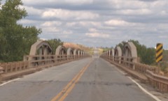 | State Highway 79 Bridge at the Red River | structure | 1996 | 96001518 |
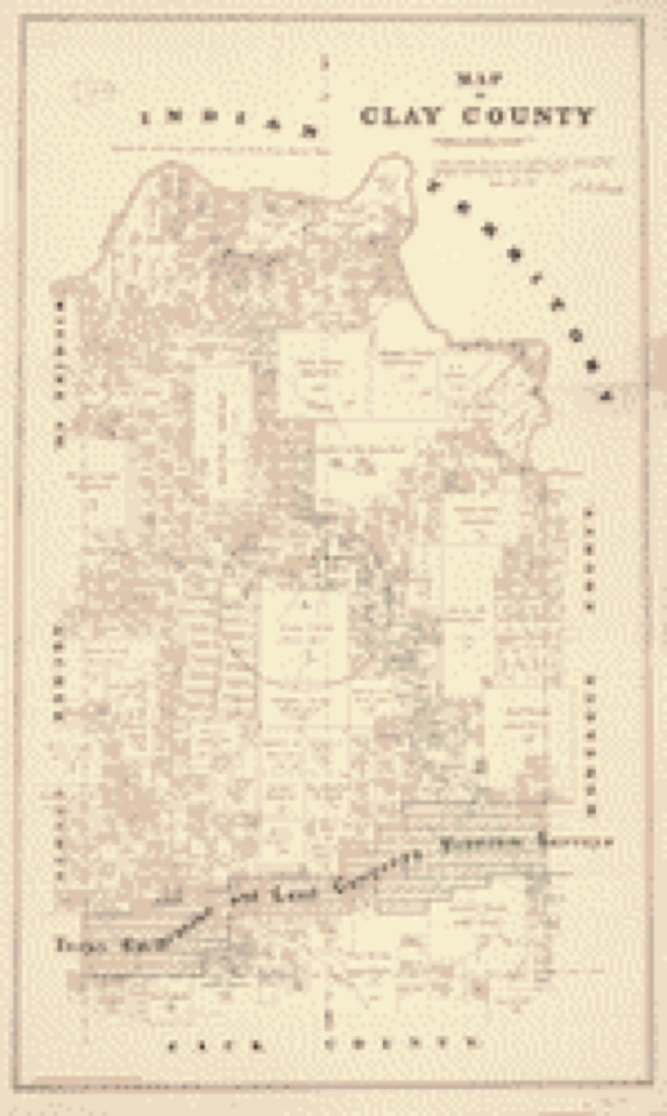
Drawn when these were printed as single large sheets: the town seen from the air, and the county divided into its farms with every owner named. Each opens the original at the Library of Congress.
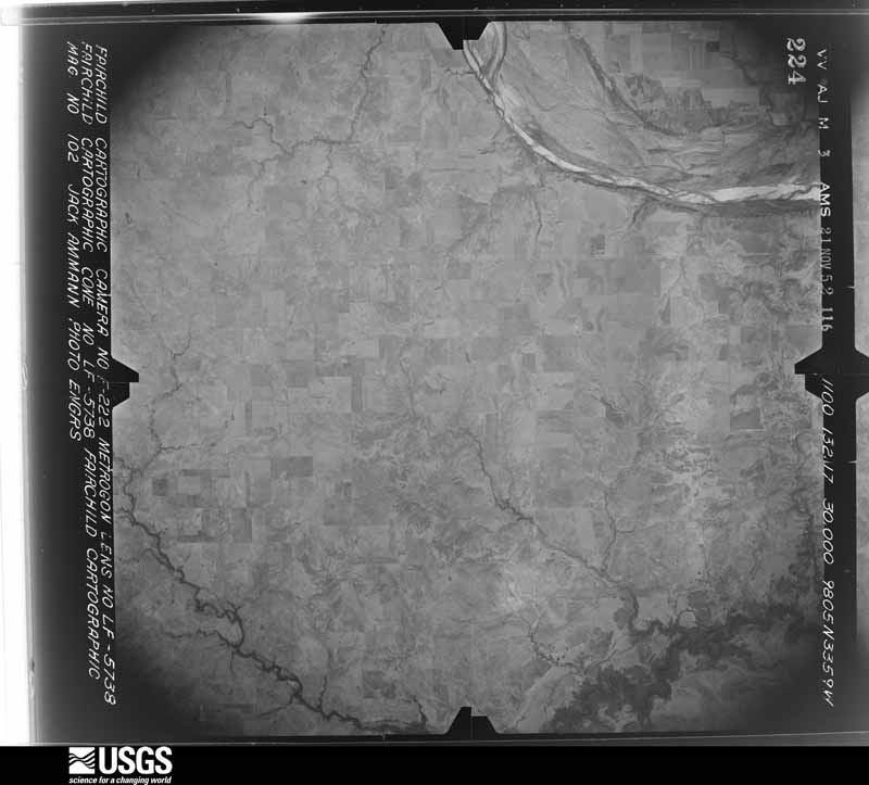
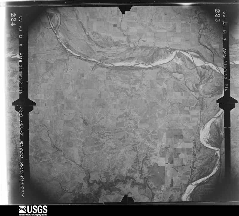
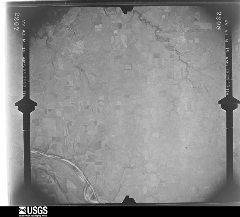
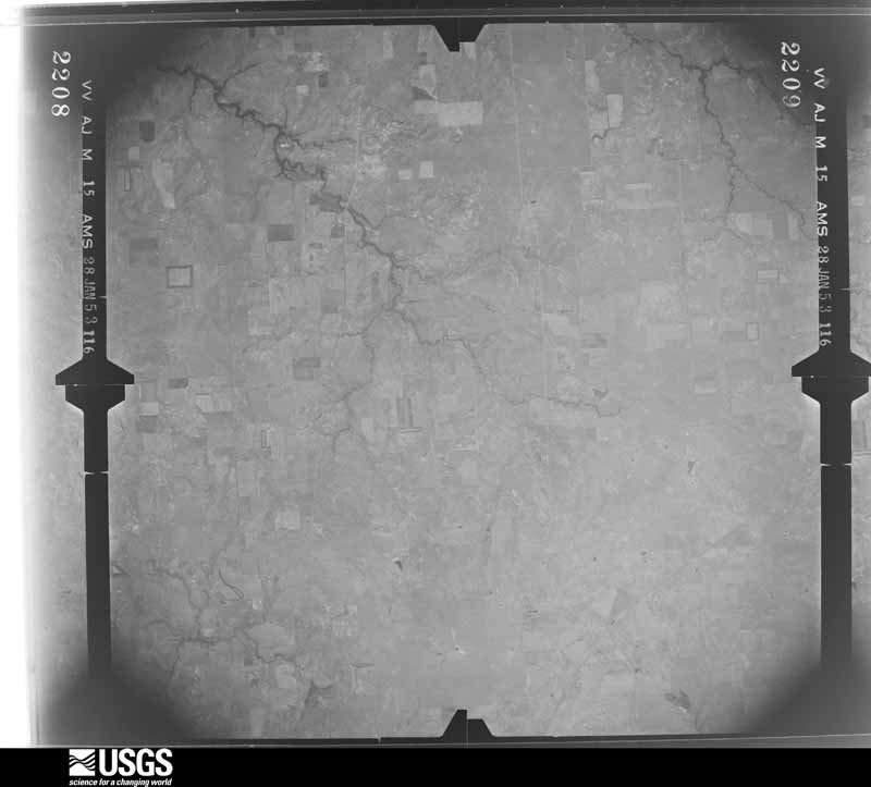
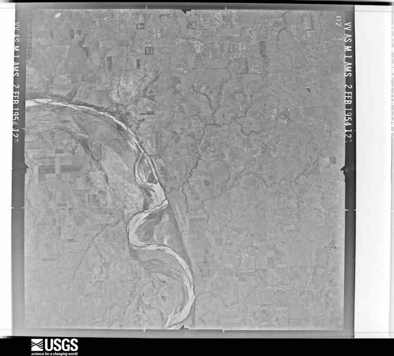
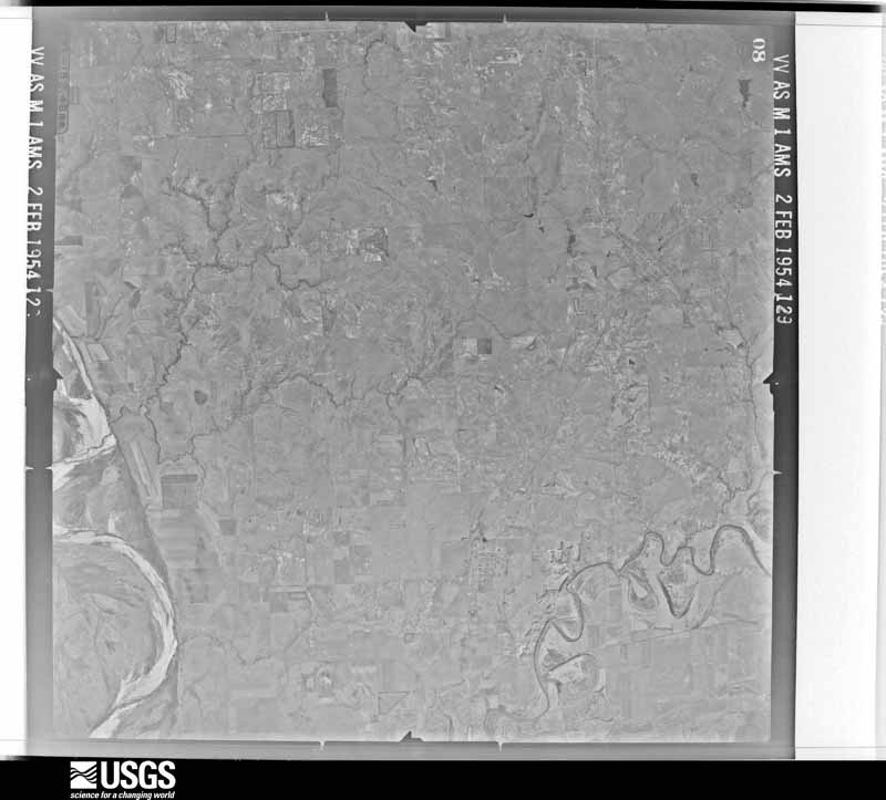
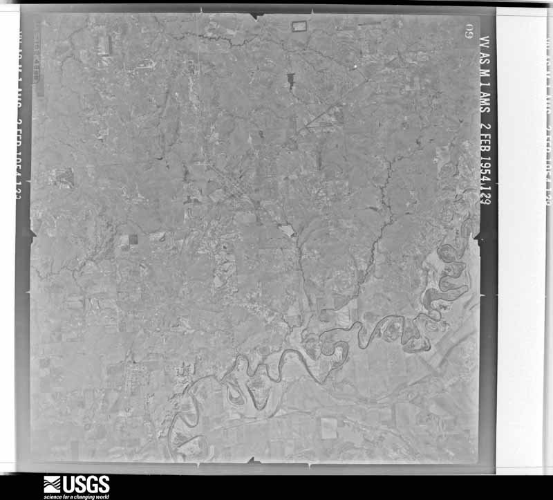
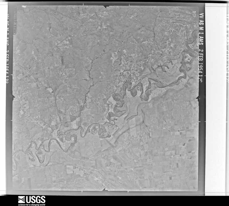
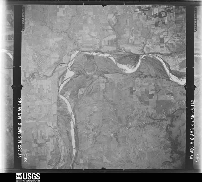
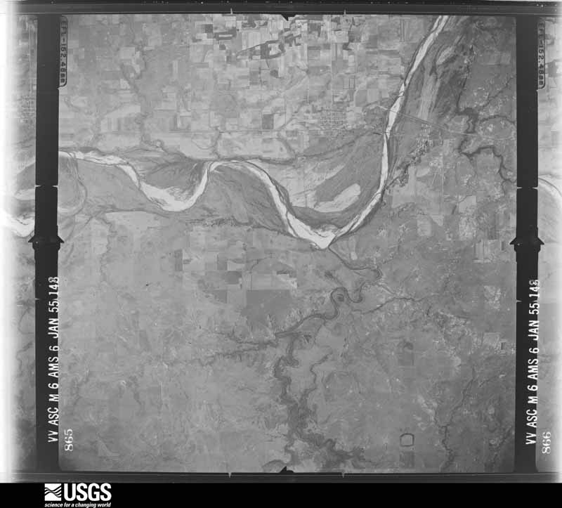
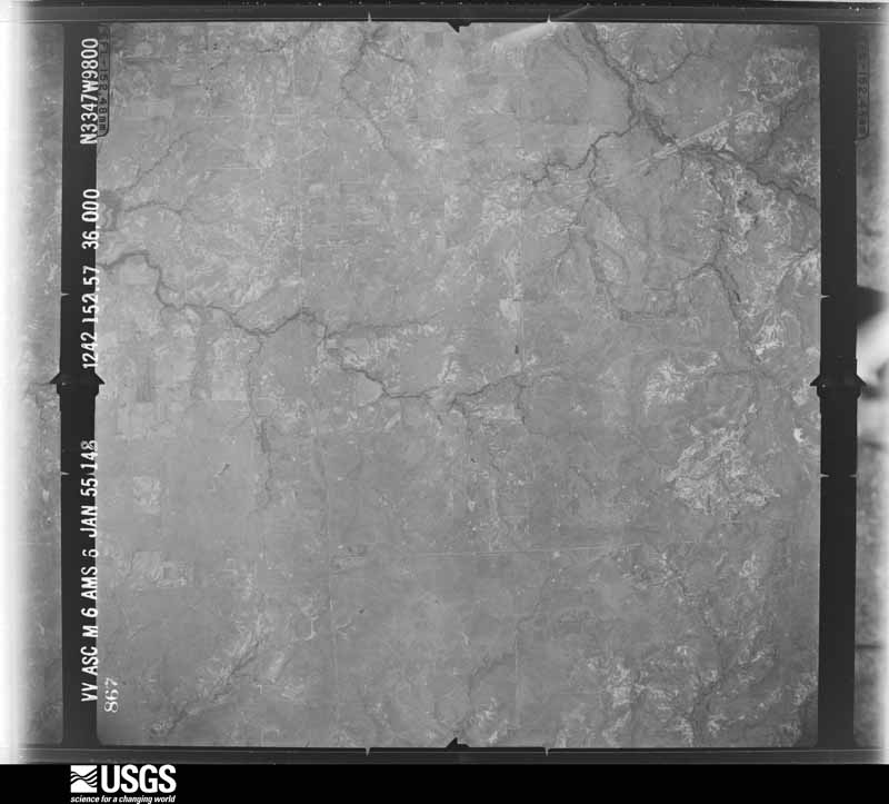
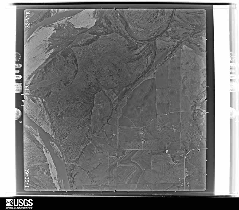
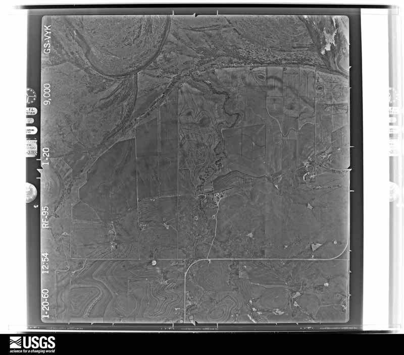
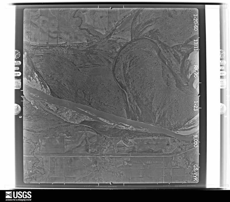
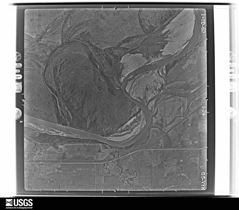
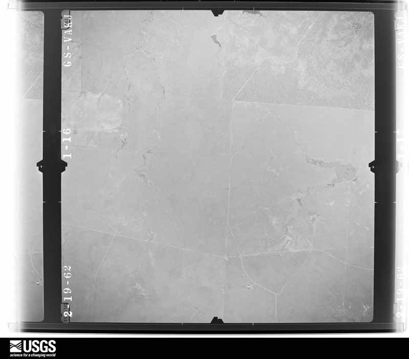
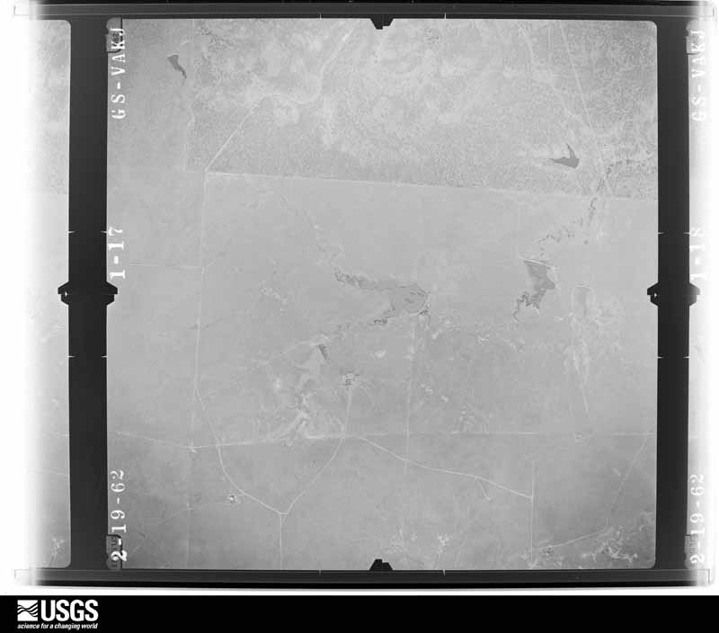
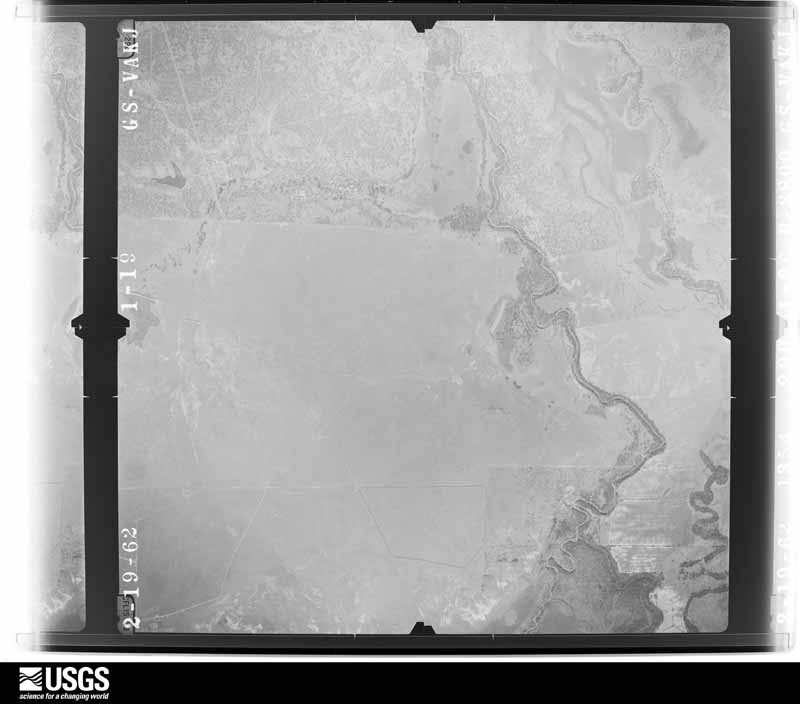
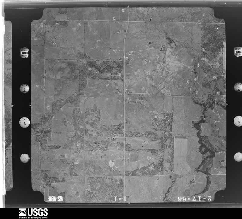
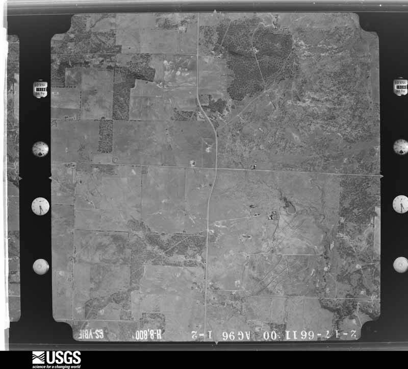
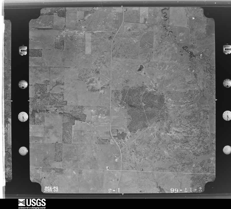
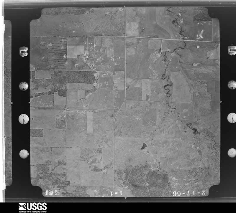
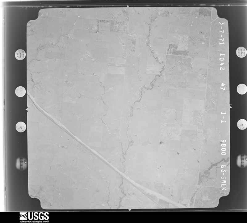
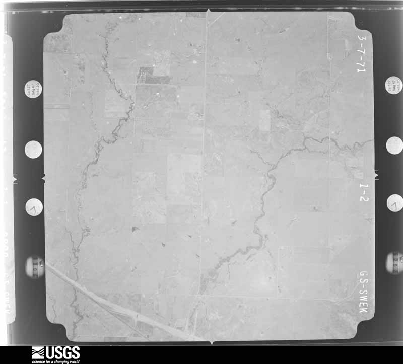
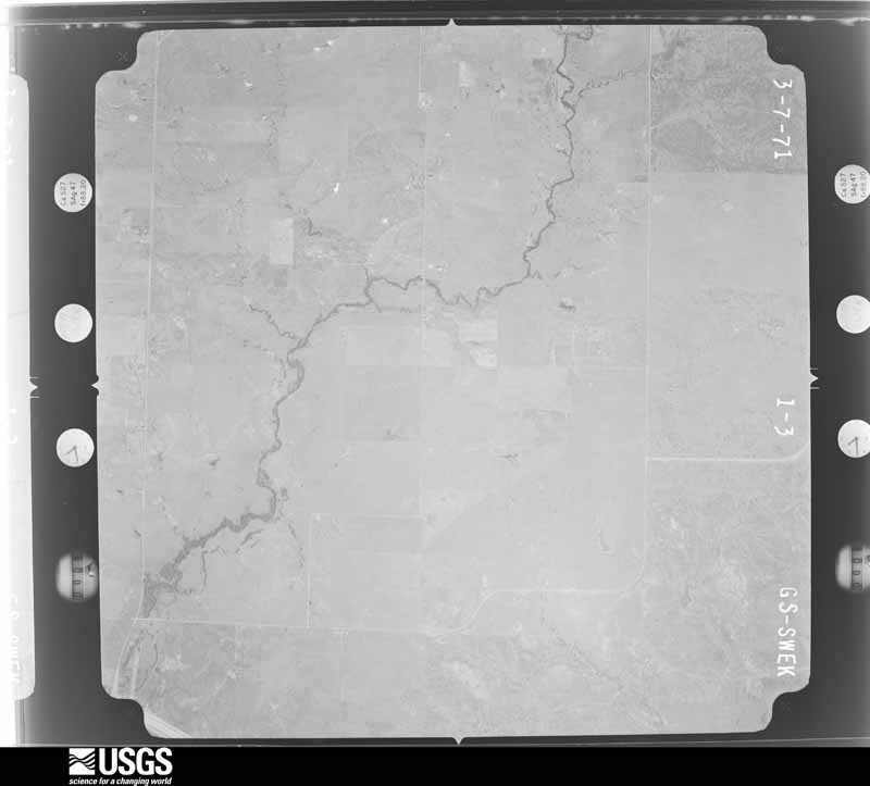
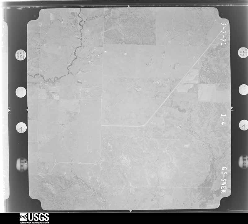
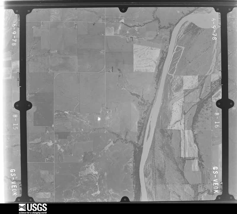
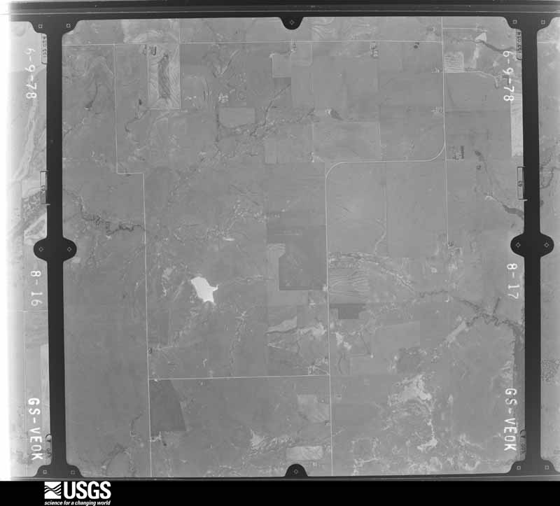
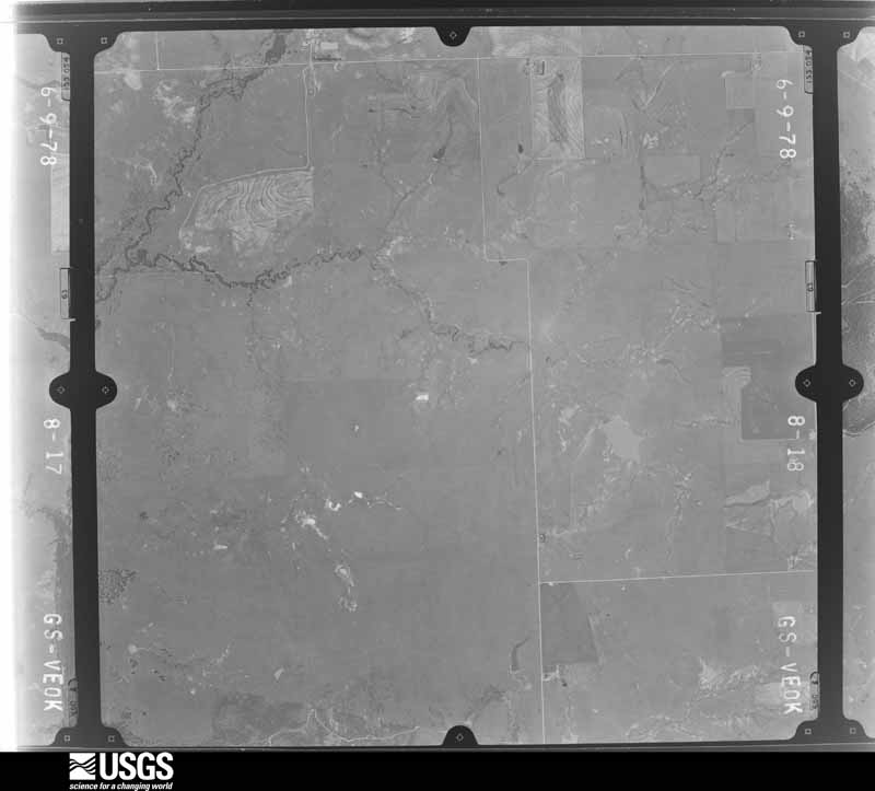
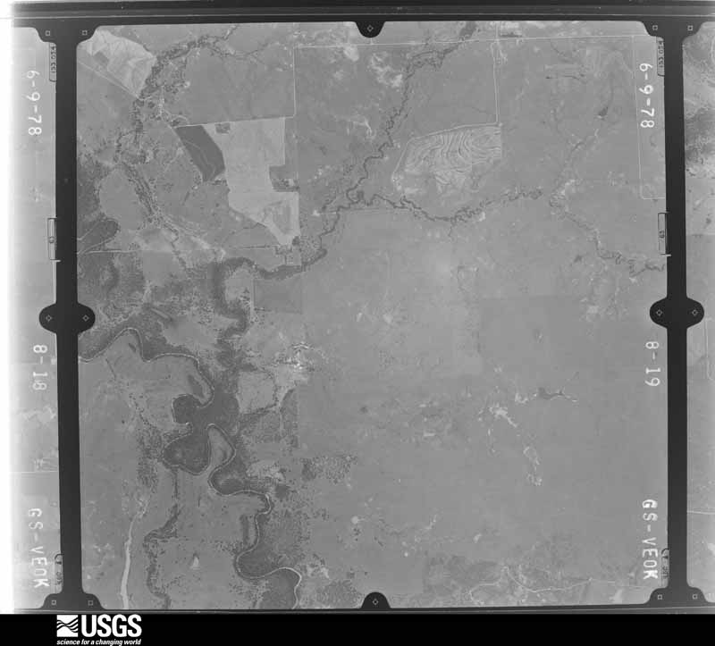
Flown by the U.S. Geological Survey between 1937 and 1989, the Aerial Photo Single Frames collection is the definitive mid-century view of the land: fields, roads and rivers as the camera saw them. The Survey holds 1,716 frames inside the rectangle that bounds this county; the 46 frames below were taken over the county itself, chosen across the decades of flights (at most four a year from that rectangle), so one flight cannot crowd out the rest. The full set is free to browse and download at EarthExplorer under the dataset Aerial Photo Single Frames.
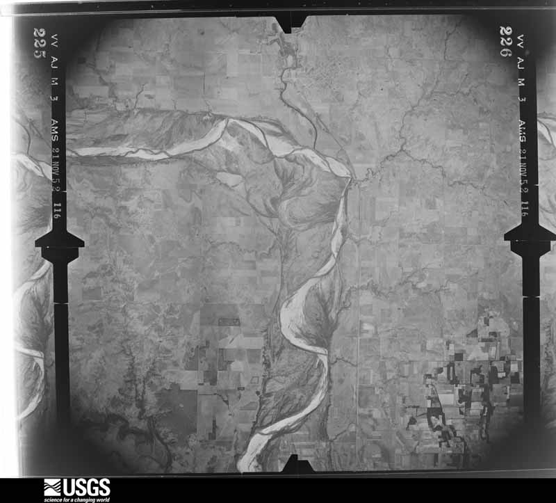
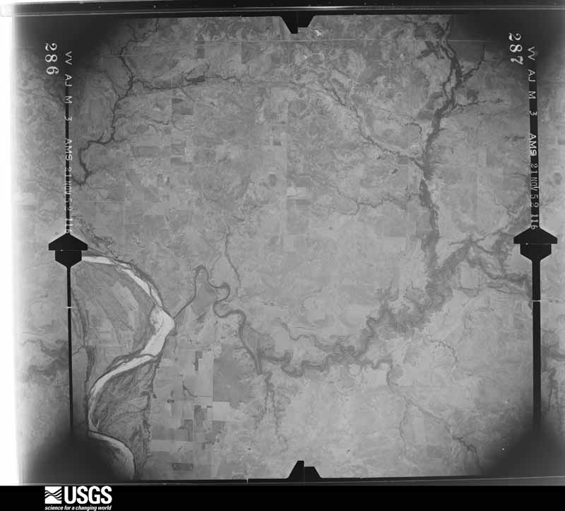
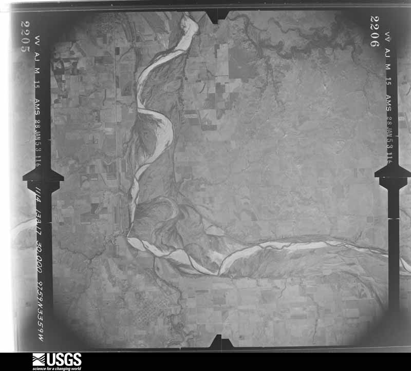
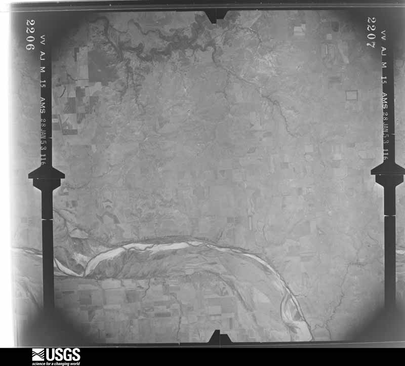

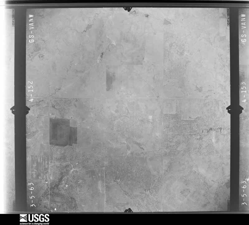
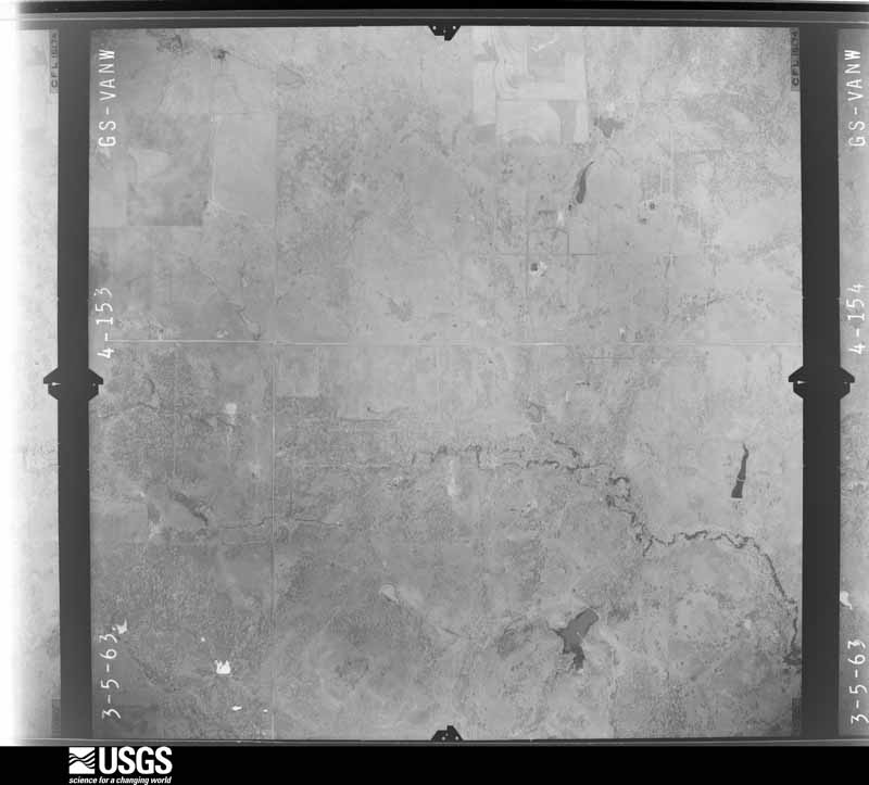
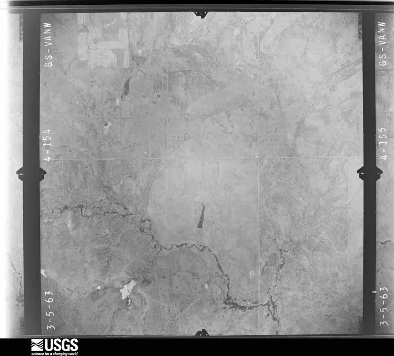
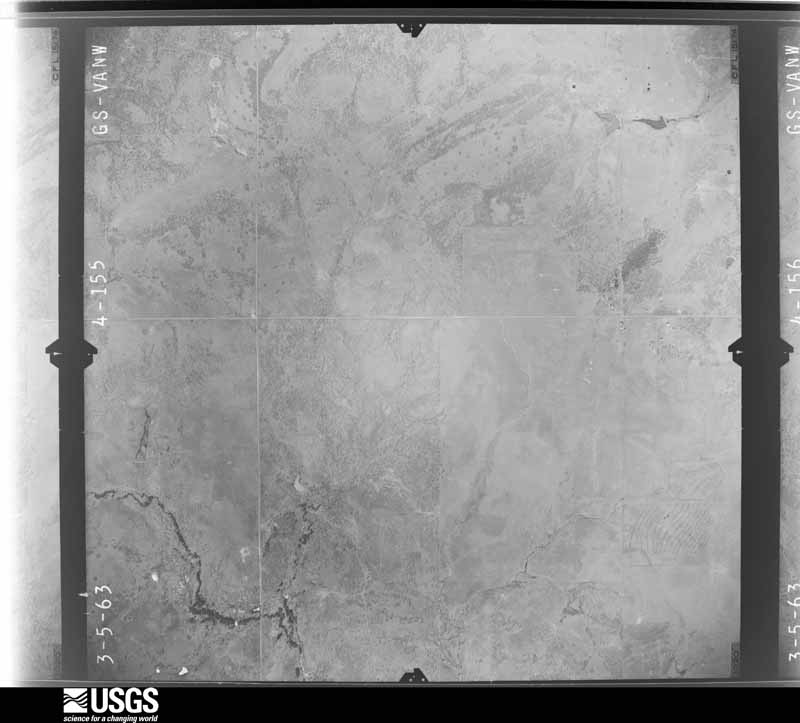



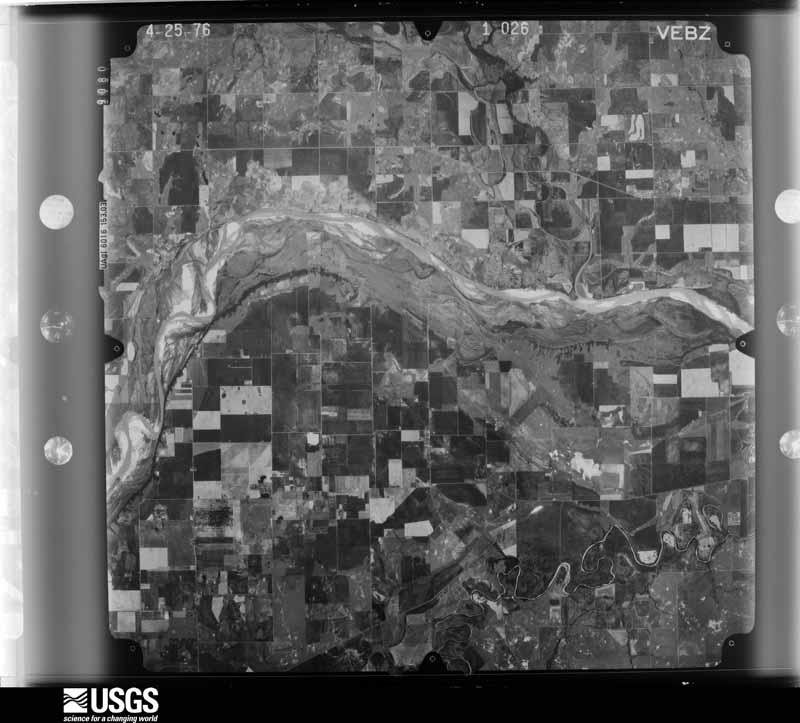
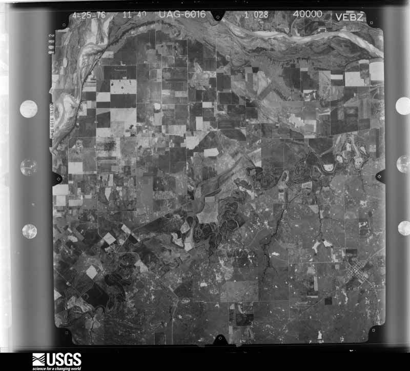
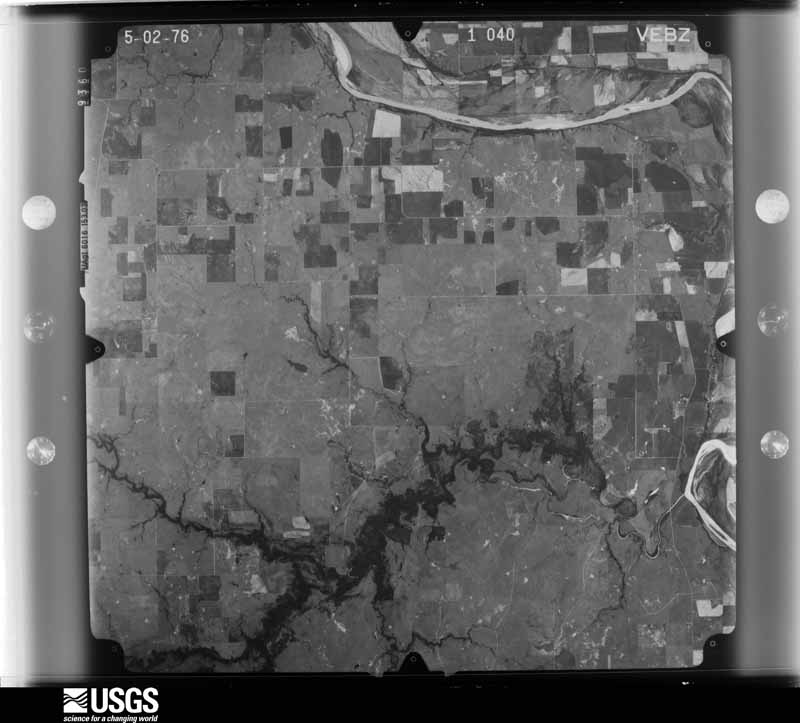
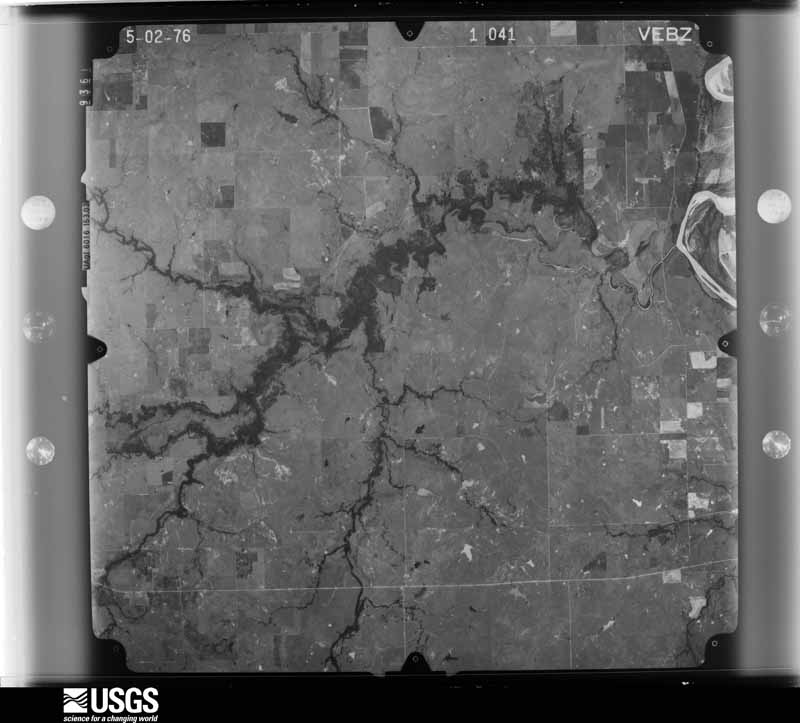
The thermometers that kept this county's weather, and the gages that measured the flow of its streams, as the federal records hold them. The extremes below are measured values from those records, not estimates.
Who lived here in 1950, one enumeration district at a time, as the Census Bureau described each district. Each row opens its official National Archives result, with Population Schedules and ED Maps available there.
Every wildfire the federal occurrence database records inside this county: 1,356 of them, burning about 98,930 acres. 138 started naturally and 38 were recorded as arson. Each settlement page carries the fires within five miles of it.
| Reported cause | Fires |
|---|---|
| Missing data/not specified/undetermined | 595 |
| Equipment and vehicle use | 228 |
| Debris and open burning | 197 |
| Natural | 138 |
| Power generation/transmission/distribution | 110 |
| Arson/incendiarism | 38 |
| Recreation and ceremony | 16 |
| Smoking | 16 |
| Railroad operations and maintenance | 10 |
| Misuse of fire by a minor | 8 |
The five largest, by the area the report gives. None of them was recorded as arson.
| Date | Cause | Size | Reported by | Name on the report |
|---|---|---|---|---|
| 15 April 2011 | Power generation/transmission/distribution | 18,000 acres | Texas A & M Forest Service | FM 148 & FM 2332 |
| 16 March 1996 | Missing data/not specified/undetermined | 13,702 acres | Texas A & M Forest Service | HENRIETTA FIRE |
| 29 January 2008 | Missing data/not specified/undetermined | 8,000 acres | Texas A & M Forest Service | not named |
| 19 June 2011 | Missing data/not specified/undetermined | 5,915 acres | Texas A & M Forest Service | MCDONALD II FIRE |
| 29 January 2008 | Missing data/not specified/undetermined | 2,600 acres | Texas A & M Forest Service | not named |
| 6 January 2008 | Missing data/not specified/undetermined | 2,400 acres | Texas A & M Forest Service | not named |
| 14 September 2015 | Power generation/transmission/distribution | 2,104 acres | Texas A & M Forest Service | BARRY |
| 31 August 2000 | Missing data/not specified/undetermined | 2,000 acres | Texas A & M Forest Service | HENRIETTA |
Every settlement page carries the fires within five miles of it - see the settlement index below.
The NOAA Storm Events Database holds 658 reports for this county, causing 1 death, 44 injuries and about $7,786,690 in recorded property damage. Each settlement page carries the reports that name it.
| Kind of event | Reports |
|---|---|
| Hail | 449 |
| Thunderstorm Wind | 143 |
| Tornado | 43 |
| Flash Flood | 16 |
| Flood | 5 |
| Lightning | 1 |
| Wildfire | 1 |
The most serious of them, by death, then injury, then recorded damage. The accounts are quoted exactly as the forecast office filed them.
| When | Event | Place named | Harm | What the report says |
|---|---|---|---|---|
| May 1989 | Thunderstorm Wind | not stated | 1 killed | no account filed |
| April 1979 | Tornado (F4) | not stated | 40 hurt | no account filed |
| August 1997 | Thunderstorm Wind | Jolly | 2 hurt, $2,250,000 | Severe thunderstorm winds blew a train car off the tracks, which in turn caused the rest of the freight train to derail. In all, 30 cars and 2 engines were derailed. One train car smashed into two automobiles and a tractor trailer that were parked on a parallel highway. The 2 occupants of one of the automobiles were treated for minor injuries. Damage to the train and track was estimated at $2,000,000. |
| April 1998 | Tornado (F1) | Bellevue | 2 hurt, $50,000 | A tornado, probably a gustnado, overturned a mobile home on FM 1288 on the southwest side of Bellevue. A man and woman were injured inside the trailer and were taken to local hospitals. Tree limbs up to 8 inches in diameter were blown down and roofs were damaged on several homes. Two barns in the area were also destroyed. |
| May 1986 | Tornado (F3) | not stated | $2,500,000 | no account filed |
| May 1993 | Tornado (F1) | Scotland - | $500,000 | no account filed |
| April 1996 | Hail | Petrolia | $380,000 | no account filed |
| May 2006 | Thunderstorm Wind | Thornberry | $300,000 | The side of a metal barn was blown out. Numerous trees blown onto roofs. A 140 foot broadband tower was blown over. Several older metal barns were also blown over. Several trees were downed. One large tree was blown on top of a house. A barn door and the roof of another home sustained damage. |
| May 2000 | Hail | Dean | $250,000 | no account filed |
| April 1958 | Tornado (F3) | not stated | $250,000 | no account filed |
| April 1955 | Tornado (F3) | not stated | $250,000 | no account filed |
| April 2004 | Hail | Petrolia | $150,000 | Several vehicles were damaged in the high school and junior high-elementary parking lots. Some homes were also damaged. |
| June 1997 | Tornado (F1) | Charlie | $150,000 | A damage survey conducted by a National Weather Service meteorologist revealed a 6.5 mile tornado track across northern Clay County. The tornado began around 20:50 CST about 6 miles southwest of Charlie, TX, moved northeast, and lifted about 2 miles north of Charlie. Downed power poles and several trees on Ratt Road marked the beginning of the damage, with increasing damage through a pecan grove along Highway 171. Damage to a barn and over 1000 trees in the grove was rated at F1. Farther northeast along the track of the tornado, two homes and at least 3 barns/garages also sustained F1 damage along Linville and T-Bone Roads. The roof of a house on T-Bone Road was completely blown off, probably because the garage door had been left open. The heaviest damage from this tornado was along a three mile path from the pecan grove on Highway 171 to the houses on Linville and T-Bone Roads. Path width ranged from 50 to 100 yards. |
| August 1996 | Thunderstorm Wind | Charlie | $55,000 | no account filed |
| April 2026 | Tornado (EF1) | Joy | $50,000 | This tornado destroyed a hay barn approximately 4 miles northeast of Shannon off of the Old Joy-Shannon Road and windows were broken at an adjacent farmstead. Except for this damage, the path of the tornado is estimated. |
| October 2012 | Thunderstorm Wind | Charlie | $50,000 | Significant wind damage occurred in Thornberry. Large overhead doors were blown into a barn. A cattle barn which was open on the south side was blown away, tearing welds from metal poles cemented into the ground. Cemented poles on the south side of the barn were also pulled out of the ground. Another barn had its metal roof blown off. Power lines were down across FM-171. A door was blown off a mobile home, highway signs were blown down, and trees and large limbs were downed. |
| August 1997 | Thunderstorm Wind | Jolly | $50,000 | Severe winds blew the porch and roof off a house, knocked the windows out of another house, and caused major shingle and roof damage. Several barns in the area were also destroyed by the winds. |
| April 1994 | Thunderstorm Wind | Bellevue | $50,000 | Thunderstorms developed in the western part of north Texas during the late morning and afternoon hours on the 26th and moved east and northeast. These storms produced two tornadoes, hail up to baseball size and damaging winds. A brief F0 tornado occurred at 1150 CST in an open field three miles south of Anarrowene. A second tornado developed from the same storm three miles southeast of Anarrowene at 1205 CST and traveled northeast 9.5 miles before dissipating at 1227 CST 4.5 miles southwest of Windthorst. This tornado destroyed a mobile home and a small house, severely damaged another mobile home and a barn, damaged a tank battery, and downed a large radio tower, power lines, and power poles. The tornado tipped over a partially filled 210 barrel oil storage tank and rolled it 200 yards. This F2 mainly traveled across open fields and had an averaged width of 150 yards. Damage to the small house was estimated at $30,000. Strong thunderstorm winds overturned a tractor-semitrailer and damaged a building 0.5 miles south of Bellevue, downed power lines in Bellevue, and destroyed a house in Windthorst. Hail up to two inches in diameter damaged cars and broke out windshields in Bellevue. Dime size hail covered the ground five miles south of Henrietta. |
| May 1995 | Thunderstorm Wind | not stated | $50,000 | no account filed |
| April 2019 | Tornado (EF1) | Dean | $40,000 | A tornado moved northeast and north through the northwestern portion of Clay County. The first damage was observed to trees along FM-1740 about one mile east of the Wichita County line. The tornado moved northeast along or just east of FM-1740 producing tree damage before turning north-northeast and passing just west of the town of Charlie. Two outbuildings were damaged southwest of Charlie, a house was damaged just west of Charlie, and a mobile home unroofed north of Charlie. |
| July 1997 | Thunderstorm Wind | Bellevue | $30,000 | Severe thunderstorm winds destroyed one mobile home and two barns and blew siding off of several other mobile homes. A 40x40 foot sign on high beams was blown down, and the tops of eight utility poles were blown off. |
| June 1999 | Thunderstorm Wind | Stanfield | $30,000 | no account filed |
| August 1997 | Thunderstorm Wind | Henrietta | $25,000 | Severe thunderstorm winds destroyed a mobile home. |
| August 1972 | Tornado (F1) | not stated | $25,000 | no account filed |
| August 1972 | Tornado (F1) | not stated | $25,000 | no account filed |
| May 2024 | Tornado (EF1) | Joy | $20,000 | The Windthorst Tornado moved from Archer County into Clay County northeast of Windthorst. The tornado shifted east-northeast and then east after it moved into Clay County. Tree damage was observed soon after it moved into Clay County. A house received some shingle damage and a barn suffered significant roof damage as the tornado approached Conrady Road. The tornado continued east with no additional damage noted before dissipating. |
| August 2013 | Thunderstorm Wind | Bellevue | $20,000 | RV overturned on highway 287. No injuries reported. |
| June 2002 | Thunderstorm Wind | Henrietta | $20,000 | An awning at the HISD building ripped loose and tore a hole in the roof. Debris landed on two vehicles in the parking lot. |
| August 2013 | Thunderstorm Wind | Vashti | $16,000 | Two barns de-roofed. At least one carport was also destroyed. |
| October 2012 | Thunderstorm Wind | Petrolia | $10,000 | Power poles were reported down near Highway 148 and FM 2332. |
| May 2012 | Thunderstorm Wind | Henrietta | $10,000 | Local law enforcement reported several trees and power lines down in Henrietta. Monetary damages estimated. |
| May 2011 | Thunderstorm Wind | Bluegrove | $10,000 | Power lines and a highway sign were blown down near Midway School. Other tree damage was reported over Highway 148. Monetary damages were estimated. |
| August 2007 | Tornado (EF1) | Thornberry | $10,000 | A tornado moved north near Thornberry, TX. Several large pecan trees were snapped and a number of birds were found dead. The largest pecan tree was 2 to 3 feet in diameter. |
| June 2007 | Thunderstorm Wind | Henrietta | $10,000 | Several power lines were downed. Most of Henrietta was without power as a result. Monetary damages were estimated. |
| July 1997 | Thunderstorm Wind | Bellevue | $10,000 | An 18-wheeler was overturned on US Hwy 287 by severe thunderstorm winds. |
| August 1997 | Thunderstorm Wind | Henrietta | $10,000 | A trailer was blown over by severe thunderstorm winds. |
| August 1997 | Thunderstorm Wind | Henrietta | $10,000 | Severe winds knocked a tractor trailer over on Highway 287. |
| June 2023 | Tornado (EF1) | Henrietta | $8,000 | Spotters and chasers reported a tornado southeast of Henrietta. This tornado likely developed near New London Road about 2 miles south of US-287. It initially moved southeast, and then east crossing New York Road where a large tree was downed, an outbuilding destroyed and one house received roof damage. Chaser video showed the tornado as a slowly rotating dust column with faster moving subvorticies at times rotating around the primary circulation. |
| December 2004 | Thunderstorm Wind | Henrietta | $7,500 | Minor structural damage to a building on Highway 82 was reported. |
| June 1998 | Thunderstorm Wind | Henrietta | $7,000 | Thunderstorm winds downed trees and power lines and rolled a mobile home in a dealer's parking lot. |
| May 2011 | Thunderstorm Wind | Lake Arrowhead Dam | $6,000 | Part of a roof was blown off of a house. Monetary damages were estimated. |
| June 2007 | Thunderstorm Wind | Charlie | $6,000 | Four 8-inch diameter pecan trees blown over. Monetary damages were estimated. |
| June 1997 | Thunderstorm Wind | Petrolia | $6,000 | A roof was blown off a pizza restaurant. |
| August 2013 | Thunderstorm Wind | Henrietta | $5,000 | Several six inch diameter tree limbs and one utility pole down. |
| August 2009 | Thunderstorm Wind | Henrietta | $5,000 | A large sign and tree limbs were blown down. Quarter-size hail was also reported at this locations. Monetary damages were estimated. |
| June 1997 | Thunderstorm Wind | Henrietta | $5,000 | Two trees were uprooted by severe winds, one of which landed on a car. |
| July 1994 | Thunderstorm Wind | E Byers | $5,000 | Thunderstorms in the western part of north Texas during the evening hours of the 7th produced hail up to nickel-size and damaging winds. Thunderstorm winds uprooted trees and broke off tree limbs in Byers and damaged a mobile home just east of Byers. |
| June 1994 | Thunderstorm Wind | Henrietta | $5,000 | Thunderstorm in the western part of north Texas during the evening hours on the 24th produced hail in excess of quarter-size and damaging winds. Thunderstorm winds blew shingles off of roofs from 10 to 12 miles east of Henrietta. |
| April 1994 | Hail | Bellevue | $5,000 | no account filed |
| May 1993 | Thunderstorm Wind | Bluegrove | $5,000 | no account filed |
| May 1993 | Thunderstorm Wind | Nr Henrietta | $5,000 | no account filed |
| May 2011 | Thunderstorm Wind | Bluegrove | $4,000 | Trees were downed over Highway 148. Monetary damages were estimated. |
| September 2000 | Thunderstorm Wind | Shannon | $3,000 | A house roof was damaged, and a porch was destroyed. |
| March 2004 | Thunderstorm Wind | Jolly | $2,500 | Power pole reported down on FM2393. A railroad crossing guard was also downed. |
| June 2004 | Thunderstorm Wind | Petrolia | $2,500 | Trees were downed across town. |
| August 1956 | Tornado (F2) | not stated | $2,500 | no account filed |
| April 1955 | Tornado (F2) | not stated | $2,500 | no account filed |
| May 2024 | Tornado (EF1) | Bluegrove | $2,000 | This tornado was observed by storm spotters and chasers including off-duty NWS meteorologists. Trees were snapped along FM-1883 west of the community of Deer Creek. Otherwise the specific path was estimated. |
| May 2020 | Tornado (EF1) | Charlie | $2,000 | Numerous storm chasers observed this tornado develop in northwest Clay County and move slowly east-southeast. Utility poles were damaged as the tornado crossed Farm to Market Road 1740. |
| May 2018 | Thunderstorm Wind | Bluegrove | $2,000 | Several barn doors blown out. Tree damage. Tiime estimated by radar. |
The Survey's mineral resources record lists 9 workings inside this county. 1 still produces and 8 are closed or unrecorded. Each settlement page carries the workings within five miles of it.
| Commodity | Workings |
|---|---|
| Copper | 7 |
| Sand and Gravel, Construction | 2 |
The least common of them first, because a county's hundredth gravel pit says nothing its first ten did not.
| Where | Site | Commodity | Status | Recorded |
|---|---|---|---|---|
| Castles Pit & Plant | Sand and Gravel, Construction | Producer | ||
| Gifford Hill Pit | Sand and Gravel, Construction | Past Producer | ||
| Brannon-1 | Copper | Occurrence | 1861 | |
| Chrisman Ranch-1 | Copper | Occurrence | 1912 | |
| Franklin Ranch-1 | Copper | Occurrence | 1973 | |
| John Preston | Copper | Occurrence | 1874 | |
| Ship Ranch | Copper | Occurrence | 1973 | |
| Taylor Estate-1 | Copper | Occurrence | 1973 | |
| York-1 | Copper | Past Producer | 1892, 1893 |
Named settlements recorded in the Geographic Names Information System, each with the topographic sheets covering it. Villages, hamlets and abandoned places alike. Each is shown with the nearest named watercourse or landform and the survey quadrangle it falls on.
Henrietta census division · 76365 · On Duck Creek · Henrietta quadrangle
8 sheets, 1954 to 1985