 Block
BlockFrom the record
1 National Register listing published here.
Sources: the National Register database, National Park Service
33 topographic sheets cover 15 settlements here, and 1 property is on the National Register of Historic Places.
1 National Register listing published here.
Sources: the National Register database, National Park Service
Every property in this county listed on the National Register of Historic Places, with the year it was listed and the federal nomination document.
| Photograph | Property | Type | Listed | Reference |
|---|---|---|---|---|
 | Cottle County Courthouse Historic District | district | 2004 | 04000948 |
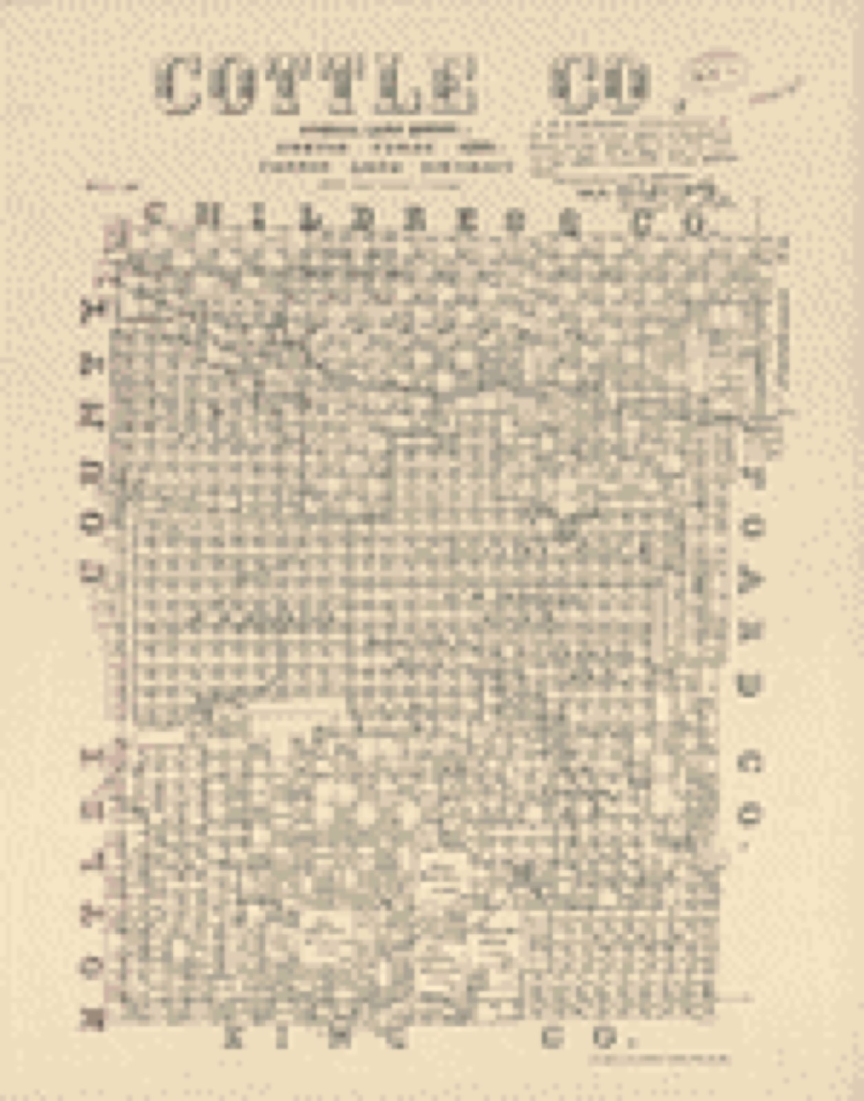
Drawn when these were printed as single large sheets: the town seen from the air, and the county divided into its farms with every owner named. Each opens the original at the Library of Congress.
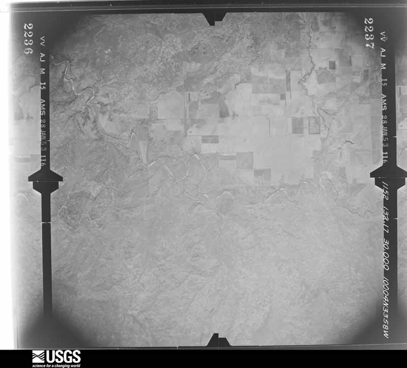
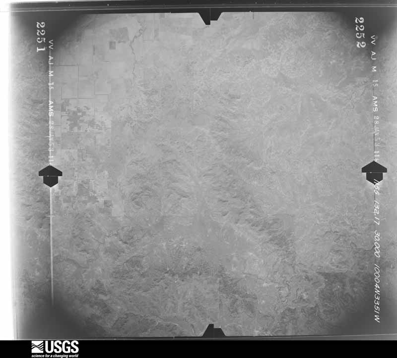
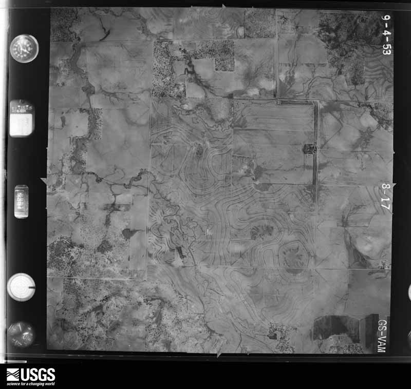
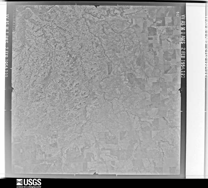
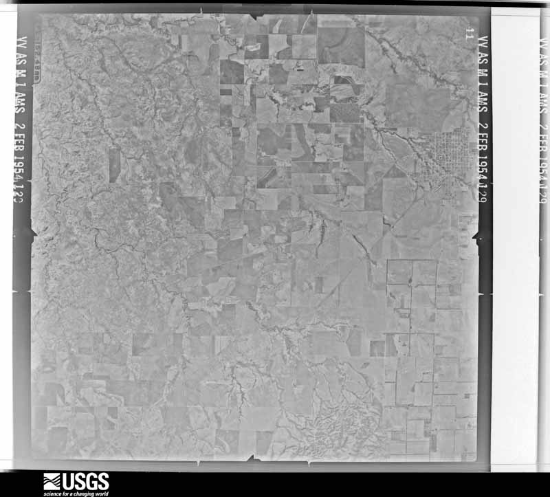
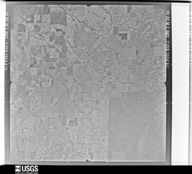
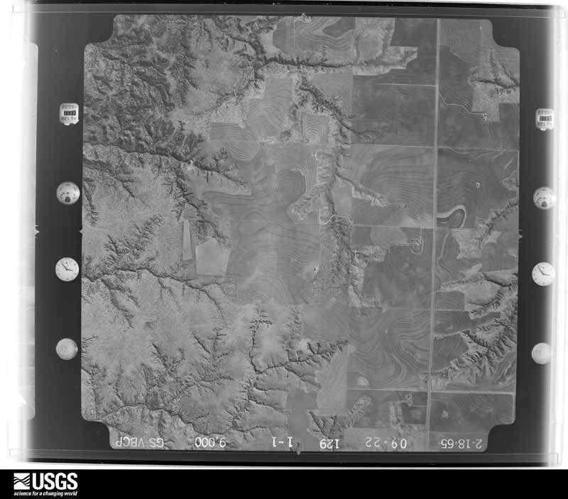
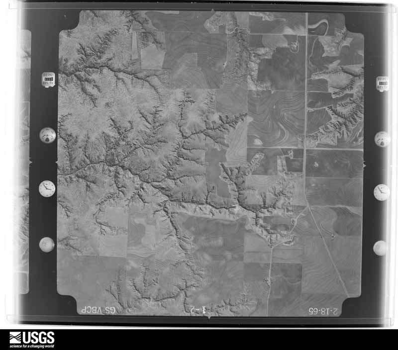
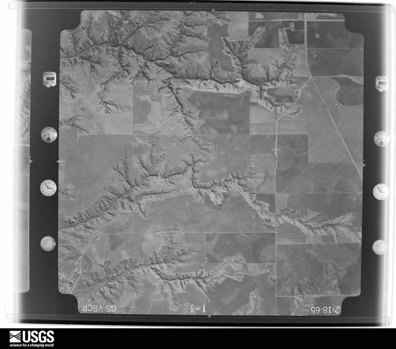
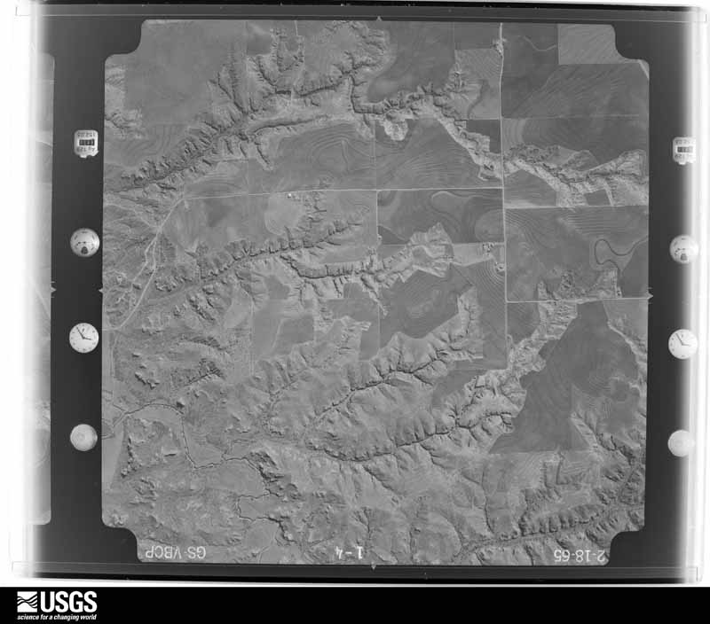
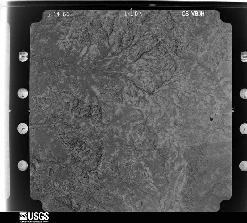
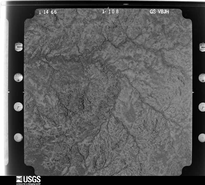
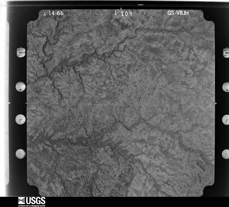
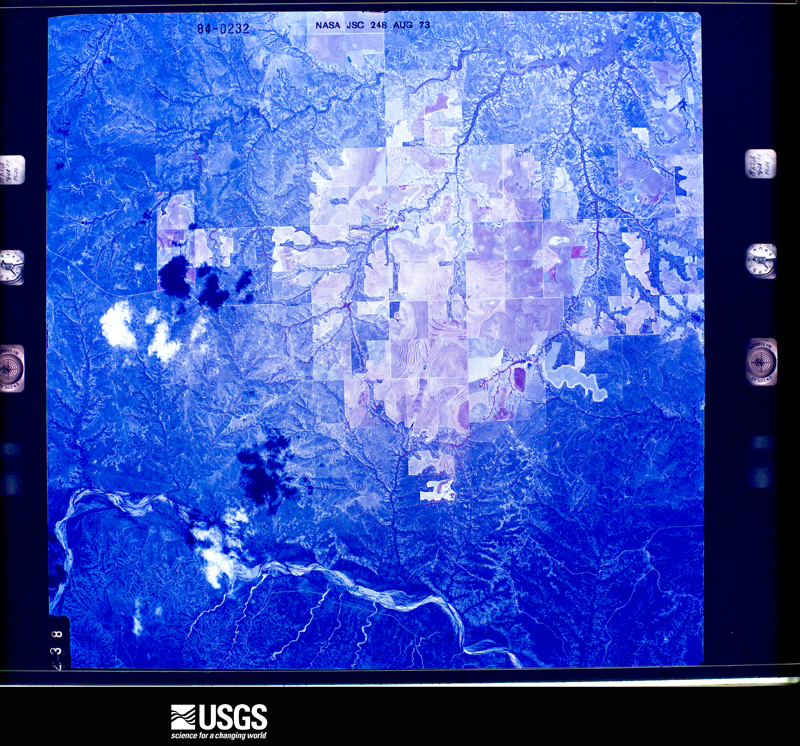
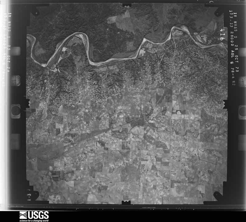
Flown by the U.S. Geological Survey between 1937 and 1989, the Aerial Photo Single Frames collection is the definitive mid-century view of the land: fields, roads and rivers as the camera saw them. The Survey holds 1,164 frames inside the rectangle that bounds this county; the 24 frames below were taken over the county itself, chosen across the decades of flights (at most four a year from that rectangle), so one flight cannot crowd out the rest. The full set is free to browse and download at EarthExplorer under the dataset Aerial Photo Single Frames.






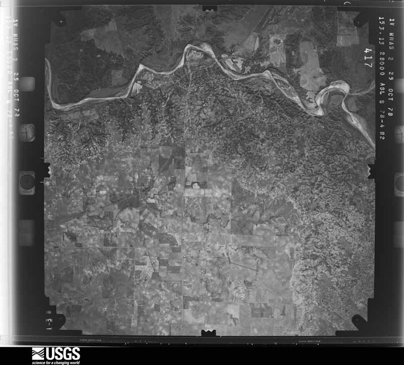
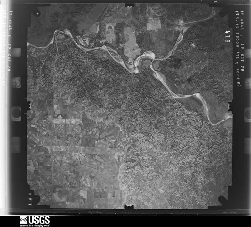
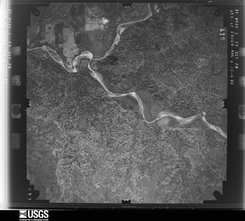
The thermometers that kept this county's weather, and the gages that measured the flow of its streams, as the federal records hold them. The extremes below are measured values from those records, not estimates.
Who lived here in 1950, one enumeration district at a time, as the Census Bureau described each district. Each row opens its official National Archives result, with Population Schedules and ED Maps available there.
Every wildfire the federal occurrence database records inside this county: 228 of them, burning about 144,746 acres. 67 started naturally and 11 were recorded as arson. Each settlement page carries the fires within five miles of it.
| Reported cause | Fires |
|---|---|
| Natural | 67 |
| Missing data/not specified/undetermined | 60 |
| Debris and open burning | 35 |
| Equipment and vehicle use | 33 |
| Power generation/transmission/distribution | 15 |
| Arson/incendiarism | 11 |
| Smoking | 4 |
| Recreation and ceremony | 3 |
The five largest, by the area the report gives. None of them was recorded as arson.
| Date | Cause | Size | Reported by | Name on the report |
|---|---|---|---|---|
| 12 March 2006 | Smoking | 40,000 acres | Texas A & M Forest Service | BUCKLE L 2 |
| 11 June 2011 | Natural | 29,200 acres | Texas A & M Forest Service | BIRD RANCH II FIRE |
| 23 March 1996 | Missing data/not specified/undetermined | 20,354 acres | Texas A & M Forest Service | BUCKLE L FIRE |
| 3 July 1998 | Missing data/not specified/undetermined | 12,651 acres | Texas A & M Forest Service | PADUCAH FIRE |
| 17 August 2019 | Missing data/not specified/undetermined | 9,931 acres | Texas A & M Forest Service | BIRD RANCH |
| 17 February 1995 | Missing data/not specified/undetermined | 9,410 acres | Texas A & M Forest Service | CR 359 FIRE |
| 23 July 2017 | Natural | 4,866 acres | Texas A & M Forest Service | AEROMOTOR |
| 17 February 2020 | Missing data/not specified/undetermined | 2,272 acres | Texas A & M Forest Service | MATADOR |
Every settlement page carries the fires within five miles of it - see the settlement index below.
The NOAA Storm Events Database holds 363 reports for this county, causing 1 death, 14 injuries and about $4,861,690 in recorded property damage. Each settlement page carries the reports that name it.
| Kind of event | Reports |
|---|---|
| Hail | 202 |
| Thunderstorm Wind | 114 |
| Tornado | 37 |
| Flash Flood | 4 |
| Lightning | 2 |
| Funnel Cloud | 2 |
| Flood | 2 |
The most serious of them, by death, then injury, then recorded damage. The accounts are quoted exactly as the forecast office filed them.
| When | Event | Place named | Harm | What the report says |
|---|---|---|---|---|
| June 1954 | Tornado (F3) | not stated | 1 killed, 14 hurt, $2,500,000 | no account filed |
| May 2012 | Thunderstorm Wind | Paducah Richards Arp | $500,000 | Destructive straight-line winds spread south-southwest in the rear flank downdraft of a supercell creating scattered to widespread damage in and around the city of Paducah. These winds caused a swath of damage to trees, power lines, homes, vehicles, and other buildings from about 4NE Paducah southwest to the south side of the city. An NWS storm survey indicated winds up to 100 mph partially swept away a multi-car garage and overturned one car in the process. Three other vehicles inside suffered various degrees of damage. Sheet metal from the garage was found to be blown southwest nearly 300 yards from its origin. On the north side of Paducah, a portion of a large warehouse collapsed from straight line winds of similar intensity. Several vehicles in Paducah had windows blown out by airborne gravel and other small debris. Fortunately, no injuries were reported as residents received ample warning to seek shelter. |
| April 2010 | Tornado (EF3) | Cee Vee | $300,000 | A large and rain wrapped tornado tracked from southwest of Cee Vee to just west of U.S. Highway 62/83 east-northeast of Cee Vee between 18:46 and 19:20 CST. A storm spotter observed the tornado as it passed southeast of Cee Vee at approximately 19:05 CST, and described it visually as a large wedge-shaped vortex. A post-storm ground and aerial survey conducted by local emergency management officials and National Weather Service meteorologists concluded that the tornado resulted in significant EF-3 damage.||A number light weight objects and structures, including well-houses, horse stables, utility poles, empty semi-truck trailers, and a partially filled petroleum tank were heavily damaged or destroyed along the initial portions of the tornado's track through ranchland southwest and south of Cee Vee. This includes minor roof damage to a permanent farm home near County Road 172. ||Significant damage first occurred at a farmstead 3 miles east-southeast of Cee Vee, south of Farm to Market Road 1440. At this site, upwards of twenty-percent of the roof was removed from a well-built permanent home. A large metal building was partially collapsed and a well-house was completely destroyed. A horse trailer was blown over and rolled. In addition, several large trees were uprooted.||The tornado continued to move northeastward and impacted a second farmstead four miles east of Cee Vee, just south of Farm to Market Road 1440. The tornado's maximum damage intensity was observed at this site, where a well-built stucco constructed permanant home, a cinderblock two-car garage, and several outbuildings were destroyed. The home's roof was totally removed, and three exterior walls collapsed. A portion of the home's roof and exterior walls were blown downwind and struck the two-car cinderblock garage broadside. This contributed to the complete destruction of that structure with only the frames of two exterior walls remaining. Two outbuildings and a horse stable were completely destroyed, with another unroofed. In addition, an entire stand of more than a dozen large trees were uprooted. A detailed survey by local officials of the site, revealed that the home was well-built, and that the exterior walls were secured to the slab foundation with bolts.||In collaboration with experts at Texas Tech University's Wind Engineering Department, the developers of the Enhanced-Fujita Scale, it was determined that estimated wind speeds at the site of the destroyed residence ranged between 130 and 150 mph. With an average expected wind speed of 140 mph, the tornado was assigned an EF-3 rating based on this damage.||The tornado continued northeastward across Farm to Market Road 1440. It caused light roof damage to a couple of light weight structures before dissipating just west of U.S. Highway 62/83 east-northeast of Cee Vee at approximately 19:20 CST.||Despite damaging three residences, no injuries were reported. |
| August 2006 | Thunderstorm Wind | Paducah | $220,000 | The line of previously severe storms over western Cottle County weakened as they approached Paducah. However, another severe storm quickly developed over southeastern Cottle County and propagated northwestward. This resulted in a cell merger just south of Paducah. A series of damaging downbursts followed the merger, and resulted in approximately $220,000 worth of damage in the Paducah vicinity.Damaging winds estimated to exceed 80 mph initially impacted the Paducah Country Club just southeast of the city at 16:47 CST. These winds peeled tin roofs off of several light-weight structures, and snapped eleven medium voltage utility poles. Tree and utility damage continued northwestward along Farm to Market Road 1038 into the city, where numerous poorly constructed homes and businesses sustained damage. Residents of Paducah and surrounding areas were without power through the night. No injuries were reported. |
| September 2001 | Hail | Paducah | $200,000 | A severe multi-cell thunderstorm developed over southern Hall County. The storm drifted east-southeast at 15 mph and produced nickel size hail in Cee Vee in northwestern Cottle County. As the storm moved into central Cottle County, it quickly intensified and started moving to the south as it took aim on Paducah. A few miles north of town it began to show the radar characteristics of a high-precipitation supercell and its strength peaked just as it moved over the town. Copious amounts of hail, mostly golfball to tennis ball size but some as large as grapefruits (4 inch diameter stones), were wind-driven through windows and into the sides of homes and businesses resulting in damage to every building in town. Winds that accompanied the hail were on the order of around 70 mph based on a damage survey. Power poles were snapped, power lines and trees were blown down, and several buildings sustained minor structural damage from the wind. In addition to the damaging wind and hail, the town also experienced extreme rainfall rates (possibly on the order of 5 to 6 inches per hour) that resulted in flash flooding. Several cars were stranded in high water and several homes had water up to six inches deep in them. Estimated total property damage in Paducah from this severe thunderstorm is $200,000 with another $100,000 damage estimated to crops in the area around the town. |
| April 2009 | Thunderstorm Wind | Paducah | $150,000 | Local officials reported that large hail was accompanied by damaging thunderstorm winds estimated up to 75 mph along a swath of U.S. 62/70 from west of Paducah to near the city. The Paducah Fire Department initially estimated 75 mph winds and hail west of Paducah at 18:39 CST. A KVII-TV schoolnet site in Paducah recorded a peak gust of 59 mph at 18:46 CST. Winds estimated up to 75 mph, however, were again reported by the Cottle County Emergency Manager in Paducah at 18:51 CST. Damage to trees and utilities was reportedly widespread, including the loss of a historic tree at a church. A few light weight structures, such as barns and car ports, were additionally damaged. The roof also was reportedly blown off a business. No injuries were reported. |
| June 2011 | Thunderstorm Wind | Paducah | $100,000 | A storm severely impacted the area near and south of Paducah. The Texas Tech University West Texas mesonet site 10 miles southwest of Paducah measured a wind gust to 80 mph. A schoolnet site in Paducah measured a wind gust to 64 mph 11 minutes later. There were also multiple reports of thunderstorm wind damage especially at Paducah High School. The Paducah fire department reported utility poles downed 10 miles south of Paducah. Minor structural damage was reported at Paducah High School including severe damage to the press box at the football field. Additionally, the garage door was blown in at the High School agricultural building with accompanying tree damage in the area. |
| September 2006 | Flash Flood | Paducah | $75,000 | Flash flooding was reported over parts of southwestern Cottle County, where very intense downpours associated with a slow moving high-precipitation supercell and runoff caused high water to flow over several highways. Flood waters were initially reported at 15:32 CST, when high water inundated the intersection of Farm to Market Road 2278 and County Road 233 five miles southwest of Paducah. By 16:15 CST, flood waters flowed over a stretch of U.S. Highway 83 seven miles south-southwest of Paducah. A stretch of that major highway, several hundred yards in length, was closed due to flood waters. A portion of the highway was under construction, and some damage occurred to the temporary driving surfaces. Initial reports that a bridge had been washed out were false. No injuries were reported. |
| July 2004 | Hail | Delwin | $75,000 | A storm chaser reported three inch diameter hail. The hail swath was up to 1.5 miles wide. Windows were broken, siding to homes was destroyed, and roofs were damaged by the hail. |
| June 2004 | Lightning | Paducah | $75,000 | Lightning struck a home resulting in major damage. |
| April 2019 | Thunderstorm Wind | Paducah | $50,000 | A downburst tore the roof and porch from of a small home, destroyed a grain silo, downed several power lines, and caused minor structural damage to a few buildings in Paducah. Additionally, heavy rains created extensive water damage to the home that lost its roof. |
| April 2010 | Thunderstorm Wind | Paducah | $50,000 | A linear complex of severe thunderstorms resulted in significant wind damage at a homestead north of Paducah along U.S. Highway 62/83 shortly before 23:00 CST. Local emergecy management officials reported that thunderstorm winds caused heavy roof and window damage to a permanent home. A number of large trees were blown down and five utility poles were snapped by the winds. No injuries were reported. |
| April 2000 | Hail | Paducah | $40,000 | no account filed |
| April 2002 | Hail | Paducah | $30,000 | Large hail broke windows and damaged automobiles. |
| September 2001 | Flash Flood | Paducah | $30,000 | Very heavy rainfall that fell in a short period of time from a high-precipitation supercell caused flash flooding that was up to 300 yards wide and five feet deep in some places in town. The NWS cooperative observer for Paducah measured over three inches of rain from the storm but given the limitations of the instruments in high wind situations, that was likely an underestimate of the actual rainfall. Several cars were stranded in high water and a few homes had water up to six inches deep in them. |
| July 2006 | Thunderstorm Wind | Paducah | $25,000 | A severe storm near Paducah produced severe wind gusts that ripped an aluminum roof off of a structure and downed power lines and large trees. No injuries were reported. |
| July 2004 | Hail | Paducah | $25,000 | The NWS Cooperative Observer reported baseball size hail had broken windows. |
| July 1979 | Tornado (F0) | not stated | $25,000 | no account filed |
| May 1978 | Tornado (F0) | not stated | $25,000 | no account filed |
| July 2016 | Thunderstorm Wind | Paducah | $24,000 | The Paducah Fire Department reported several power poles downed from strong winds west of Paducah. |
| August 2010 | Thunderstorm Wind | Paducah | $20,000 | The Paducah Fire Department reported that thunderstorm winds downed utility lines along U.S. Highway 83 south of Paducah. |
| June 2008 | Thunderstorm Wind | Paducah | $20,000 | Thunderstorm winds, accompanied by large hail, downed power lines and utility poles south of Paducah. |
| May 2006 | Thunderstorm Wind | Paducah | $20,000 | The Paducah Fire Department estimated severe thunderstorm wind gusts up to 60 MPH along U.S. Highway 83 north of Paducah at 20:30 CST. As the parent thunderstorms propagated south, damage was reported in the city. Numerous large tree limbs were downed onto houses and vehicles. This resulted in a few instances of minor roof damage and significant damage to at least one pickup truck. |
| May 2003 | Hail | Delwin | $20,000 | Storm spotters affiliated with the Paducah Fire Department reported golfball size hail. |
| April 2002 | Hail | Paducah | $20,000 | The Cottle County Sheriff's Office reported tennis ball size hail. |
| April 2000 | Hail | Hackberry | $20,000 | no account filed |
| May 1996 | Tornado (F0) | Paducah | $20,000 | no account filed |
| May 2018 | Thunderstorm Wind | Coleyville | $15,000 | A downburst tore the roof from a patio. The roof proceeded to strike a nearby garage causing damage to the garage door and a pickup truck inside. |
| April 2009 | Hail | Paducah | $15,000 | Local emergency management officials reported baseball size hail along U.S. Highway 63/83 north of Paducah, and a resident of the Dunlap community reported tennis ball size hail. The giant hail accompanied the core of an intense high-precipitation supercell that produced a damaging swath of wind-driven hail over central Cottle County during the 18:00 CST hour of the 29th. Local newspaper accounts state that at least one motorist sustained severe damage to his vehicle while traveling along U.S. Highway 63/83 north of Paducah. |
| April 2006 | Hail | Swearingen | $15,000 | Hail up to the size of half dollars was reported in Swearingen. The hail, accompanied by very heavy rainfall, damaged the interior of an exposed ranch home that was undergoing roof repair. |
| April 2003 | Thunderstorm Wind | Chalk | $15,000 | Strong thunderstorm wind destroyed a 40' by 60' barn. |
| April 2003 | Thunderstorm Wind | Paducah | $15,000 | Strong thunderstorm wind caused severe damage to the roof of a house. |
| April 2000 | Hail | Hackberry | $15,000 | Very large hail damaged cars and broke windows at the intersection of Farm-to-Market Road 1038 and County Road 490. |
| May 2016 | Thunderstorm Wind | Swearingen | $10,000 | Two power poles were downed in Swearingen. |
| May 2016 | Hail | Dunlap | $10,000 | A supercell thunderstorm produced a swath of severe hail up to the size of baseballs about 12 miles north of Paducah to quarter size hail in Swearingen. Some of the Paducah volunteer fire department's vehicles were damaged by the hail. |
| July 2009 | Thunderstorm Wind | Paducah | $10,000 | An intense wet downburst was measured by the Texas Tech University West Texas Mesonet station southwest of Paducah around 17:00 CST on the 4th. A wind gust of 89 mph was recorded by the mesonet site ten miles southwest of Paducah at 17:00 CST and a subsequent gust of 67 mph was measured at 17:05 CST. The winds were accompanied by a 7 millibar rise in surface pressure and 1.71 inches of rain within a twenty-five minute period. ||A nearby National Weather Service cooperative observer, at Delwin, reported significant tree damage across an area several miles in width. A large mulberry tree was reportedly split in half. Part of the tree fell onto the roof of a home. Many other large trees were said to have their tops broken. No injuries were reported. |
| April 2008 | Hail | Swearingen | $10,000 | The public reported golfball size hail in Swearingen. At least one home received minor roof damage. |
| April 2003 | Hail | Paducah | $10,000 | Storm spotters affiliated with the Paducah Fire Department reported baseball size hail. |
| April 2003 | Hail | Hackberry | $10,000 | The Cottle County Sheriff's Office reported golfball size hail. |
| April 2003 | Thunderstorm Wind | Paducah | $6,000 | Strong thunderstorm wind blew down several power poles. |
| May 2003 | Thunderstorm Wind | Paducah | $5,000 | Storm spotters affiliated with the Paducah Fire Department estimated 70 mph wind gusts had blown down trees and power lines in town. |
| June 2002 | Thunderstorm Wind | Paducah | $5,000 | A tractor trailer was blown over by strong thunderstorm winds. |
| May 1999 | Thunderstorm Wind | Swearingen | $5,000 | Strong thunderstorm wind blew the roof off a barn and damaged a home. |
| May 1993 | Thunderstorm Wind | Paducah | $5,000 | Downburst winds of 65 miles an hour caused minor roof damage in the Chalk Community, in southeastern Cottle County. |
| May 1998 | Thunderstorm Wind | Paducah | $5,000 | no account filed |
| April 2003 | Thunderstorm Wind | Paducah | $4,000 | Strong thunderstorm wind blew down several power poles. |
| July 1979 | Tornado (F0) | not stated | $2,500 | no account filed |
| May 1971 | Tornado (F2) | not stated | $2,500 | no account filed |
| May 1956 | Tornado (F2) | not stated | $2,500 | no account filed |
| June 2002 | Thunderstorm Wind | Cee Vee | $2,000 | Strong thunderstorm winds blew down power lines, power poles, and trees. |
| April 2000 | Hail | Paducah | $2,000 | no account filed |
| April 2000 | Hail | Paducah | $2,000 | no account filed |
| April 2016 | Hail | Paducah | $1,000 | Hail up to the size of golf balls damaged a Texas Tech University mesonet site ten miles southwest of Paducah. |
| June 2012 | Thunderstorm Wind | Cee Vee | $1,000 | A NWS COOP observer near Northfield reported a roof blown off a shop building about six miles east of Northfield. |
| June 1999 | Thunderstorm Wind | Paducah | $1,000 | no account filed |
| April 2013 | Thunderstorm Wind | Hackberry | $500 | A cooperative observer reported a tin roof and doors blown off of a barn southeast of Paducah as a severe thunderstorm moved by. |
| May 2012 | Hail | Dunlap | $400 | A hailswath occurred from 8N Paducah to about 6NE Paducah. Large and even giant hail to the size of softballs was witnessed by Paducah fire department personnel and an off-duty NWS employee. These giant hailstones fell about 50 feet apart from each thereby limiting the extent of damage. However, one motorist, while stopping to change a flat tire north of Paducah, reported damage after a hailstone of at least tennis ball size cracked their windshield. |
| September 2012 | Thunderstorm Wind | Narcisso | $200 | Decaying thunderstorms located just south of a mesoscale convective vortex produced an intense downburst in extreme southwest Cottle County. A Texas Tech University West Texas Mesonet site located ten miles west-southwest of Paducah measured severe winds from 1725 CST to 1735 CST with a peak gust of 96 mph recorded at 1730 CST. Despite the ferocious winds, only one power pole was downed in the area. Although NWS Lubbock radar indicated only marginal storm intensities during this time, the high winds were deemed legitimate based on the fact that cable ties to the mesonet tower were snapped. Farther southeast, a NWS COOP observer about ten miles south of Paducah reported a couple large tree limbs had snapped and damaged a fence. |
| May 1983 | Tornado (F0) | not stated | $30 | no account filed |
| May 1983 | Tornado (F0) | not stated | $30 | no account filed |
Named settlements recorded in the Geographic Names Information System, each with the topographic sheets covering it. Villages, hamlets and abandoned places alike. Each is shown with the nearest named watercourse or landform and the survey quadrangle it falls on.
Paducah South census division · 79248 · On Buffalo Creek · Chalk quadrangle
8 sheets, 1954 to 1985
Paducah North census division · 79248 · Moons Camp quadrangle
8 sheets, 1954 to 1986
No longer a settlement
The vanished settlements of Cottle County: the places named above that are no longer on the map.