 Block
BlockCee Vee, Texas
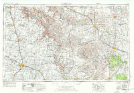
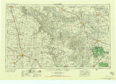
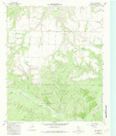
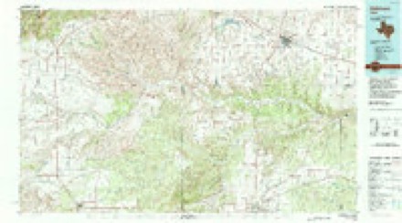
8 topographic sheets cover this place, the earliest surveyed in 1954 and the latest in 1986. It stands in the Paducah North census division. It lies in ZIP code area 79201. The Survey maps it on the Cee Vee quadrangle. It stands 1,880 feet above sea level.
Topographic sheets covering this place
4 surveys from 8 printed sheetsMatched by testing this settlement's coordinate against the published boundary of every sheet in the United States Geological Survey's historical collection. Each opens the scanned sheet at the Survey.
- 1954 USGS Plainview quadrangle1:250000, 3 printings
- 1958 USGS Plainview quadrangle1:250000
- 1966 USGS Cee Vee quadrangle1:24000, 2 printings
- 1986 USGS Childress quadrangle1:100000, 2 printings
Fires near this place
13 since 2008Regional context, not property-specific evidence. The federal wildfire occurrence database lists 13 fires within 5 miles of Cee Vee between 2008 and 2019, burning about 1,898 acres in total. 7 started naturally. None was recorded as arson. Distance is straight-line from the map coordinates, so a fire counted here may appear on a neighbouring settlement's page as well.
| Reported cause | Fires |
|---|---|
| Natural | 7 |
| Debris and open burning | 2 |
| Missing data/not specified/undetermined | 2 |
| Power generation/transmission/distribution | 1 |
| Equipment and vehicle use | 1 |
The most recent of them, most recent first, with the day each was reported and the service that recorded it.
| Date | Cause | Size | Reported by | Name on the report |
|---|---|---|---|---|
| 20 September 2011 | Natural | 30 acres | Texas A & M Forest Service | CEE VEE FIRE |
| 31 August 2016 | Natural | 10 acres | Texas A & M Forest Service | CR186 CEEVEE |
| 13 August 2019 | Natural | 440 acres | Texas A & M Forest Service | PEASE RIVER |
| 9 July 2012 | Debris and open burning | 1.0 acres | Texas A & M Forest Service | FM 1440 & CO RD |
| 10 July 2011 | Natural | 700 acres | Texas A & M Forest Service | CARROLL FIRE |
| 27 June 2009 | Debris and open burning | 20 acres | Texas A & M Forest Service | GRASSFIRE - CEE VEE MUNSON |
| 24 June 2008 | Missing data/not specified/undetermined | 10 acres | Texas A & M Forest Service | not named |
| 17 June 2008 | Natural | 200 acres | Texas A & M Forest Service | TAYLOR |
Settlements close enough to share some of these fires:
Storms near this place
27 since 1998Regional context, not property-specific evidence. The National Weather Service names Cee Vee in 27 storm reports between 1998 and 2025: 21 hail, 4 thunderstorm wind, 2 tornado. No death or injury is recorded in these reports. Each account below is quoted exactly as the forecast office filed it, from the NOAA Storm Events Database, and each date opens the federal record of that event.
| When | Event | Place named | Harm | What the report says |
|---|---|---|---|---|
| April 2010 | Tornado (EF3) | Cee Vee | $300,000 | A large and rain wrapped tornado tracked from southwest of Cee Vee to just west of U.S. Highway 62/83 east-northeast of Cee Vee between 18:46 and 19:20 CST. A storm spotter observed the tornado as it passed southeast of Cee Vee at approximately 19:05 CST, and described it visually as a large wedge-shaped vortex. A post-storm ground and aerial survey conducted by local emergency management officials and National Weather Service meteorologists concluded that the tornado resulted in significant EF-3 damage.||A number light weight objects and structures, including well-houses, horse stables, utility poles, empty semi-truck trailers, and a partially filled petroleum tank were heavily damaged or destroyed along the initial portions of the tornado's track through ranchland southwest and south of Cee Vee. This includes minor roof damage to a permanent farm home near County Road 172. ||Significant damage first occurred at a farmstead 3 miles east-southeast of Cee Vee, south of Farm to Market Road 1440. At this site, upwards of twenty-percent of the roof was removed from a well-built permanent home. A large metal building was partially collapsed and a well-house was completely destroyed. A horse trailer was blown over and rolled. In addition, several large trees were uprooted.||The tornado continued to move northeastward and impacted a second farmstead four miles east of Cee Vee, just south of Farm to Market Road 1440. The tornado's maximum damage intensity was observed at this site, where a well-built stucco constructed permanant home, a cinderblock two-car garage, and several outbuildings were destroyed. The home's roof was totally removed, and three exterior walls collapsed. A portion of the home's roof and exterior walls were blown downwind and struck the two-car cinderblock garage broadside. This contributed to the complete destruction of that structure with only the frames of two exterior walls remaining. Two outbuildings and a horse stable were completely destroyed, with another unroofed. In addition, an entire stand of more than a dozen large trees were uprooted. A detailed survey by local officials of the site, revealed that the home was well-built, and that the exterior walls were secured to the slab foundation with bolts.||In collaboration with experts at Texas Tech University's Wind Engineering Department, the developers of the Enhanced-Fujita Scale, it was determined that estimated wind speeds at the site of the destroyed residence ranged between 130 and 150 mph. With an average expected wind speed of 140 mph, the tornado was assigned an EF-3 rating based on this damage.||The tornado continued northeastward across Farm to Market Road 1440. It caused light roof damage to a couple of light weight structures before dissipating just west of U.S. Highway 62/83 east-northeast of Cee Vee at approximately 19:20 CST.||Despite damaging three residences, no injuries were reported. |
| June 2002 | Thunderstorm Wind | Cee Vee | $2,000 | Strong thunderstorm winds blew down power lines, power poles, and trees. |
| June 2012 | Thunderstorm Wind | Cee Vee | $1,000 | A NWS COOP observer near Northfield reported a roof blown off a shop building about six miles east of Northfield. |
| June 2025 | Thunderstorm Wind | Cee Vee | - | A storm chaser reported that a steeple was blown off a church in Cee Vee. |
| October 2022 | Hail | Cee Vee | - | Local broadcast media relayed a photograph of hail up to ping pong ball size. |
| April 2021 | Hail | Cee Vee | - | A storm chaser reported golf ball size hail near US Highway 62/83 in northern Cottle County. |
| May 2021 | Hail | Cee Vee | - | A report was received via social media of half dollar size hail east of Cee Vee. |
| March 2021 | Hail | Cee Vee | - | A trained weather spotter reported golf ball size hail in the town of Cee Vee. No damage was reported. |
| May 2020 | Hail | Cee Vee | - | A report was received via mPING of quarter size hail about three miles north-northwest of Cee Vee. |
| May 2017 | Hail | Cee Vee | - | A resident of Cee Vee observed hail as large as softball size (4 inches). Also, a storm chaser nearby reported baseball size hail. Fortunately, there were no reports of damage. |
| April 2016 | Hail | Cee Vee | - | A public report was relayed by local broadcast media of quarter size hail in Cee Vee. No damage was reported. |
| April 2010 | Tornado (EF2) | Cee Vee | - | Multiple storm chasers observed a large and rain-wrapped tornado that moved east-northeastward across the Motley and Cottle County line south-southeast of Northfield and southwest of Cee Vee during the 18:00 CST hour on the 22nd. ||Doppler radar, along with post-storm ground and aerial surveys, suggest that the tornado developed at approximately 18:20 CST south-southwest of Northfield in Motley County. Storm chasers first obtained a visual confirmation of the tornado at 18:37 CST as it partially emerged from obscuring rain curtains, while still in rural areas of northeastern Motley County. Photographs from that time show a very large wedge-shaped tornado. ||The tornado's maximum intensity, per post storm surveys by private land owners and meteorologists from the National Weather Service and Texas Tech University West Texas Mesonet, occurred in northeastern Motley County where four windmills were destroyed, mesquite trees were severely damaged, and where a number of wooden utility poles were snapped. The damage path was measured to be three-quarters of a mile wide near the Motley and Cottle County line. ||The tornado again became totally obscured by rain and hail within the parent high precipitation supercell storm before it crossed the Motley and Cottle County line approximately 4.8 miles west-southwest of Cee Vee at 18:42 CST. Doppler radar velocity data shows subtle evidence that a mesocyclone occlusion may have occurred, and that the tornado likely dissipated just a few minutes later at approximately 18:45 CST 3.5 miles southwest of Cee Vee. A second tornado, however, quickly developed in a cyclic fashion just southeast of the initial tornado as a new mesocyclone became dominant.||The total path length of the tornado across portions of Motley and Cottle Counties was approximately 9 miles, with a 25-minute duration. Enhanced-Fujita Scale damage indicators for both free-standing metal towers and metal electrical transmission line poles were considered to gauge expected wind speeds for the destroyed windmills observed in northeastern Motley County. The lower bounds for degrees of damage 2 and 5 respectively were accepted, yielding estimated wind speeds between 110 and 115 mph. Winds of at least this magnitude are additionally supported by the expected value for snapped wooden utility poles, which were additionally observed along the damage path. Therefore an EF-2 rating was assigned for this tornado. |
| April 2009 | Hail | Cee Vee | - | Storm chasers reported golfball size hail along Farm to Market Road 1440 just west of Cee Vee. |
| May 2009 | Hail | Cee Vee | - | Multiple reports of large hail that ranged in size from pennies to golfballs were received from areas near Cee Vee to the east of Cee Vee along U.S. Highway 83. No damage was reported. |
| June 2007 | Hail | Cee Vee | - | Many reports were received from local authorities that indicated hail up to the size of golf balls fell over northern Cottle County, including along U.S. Highway 83. Golf ball size hail was initially reported along the Childress and Cottle County line at 14:02 CST. The severe storms and associated hail reports spread southward through 14:49 CST, when golf ball size hail was reported eight miles northwest of Paducah. |
| July 2004 | Hail | Cee Vee | - | An off-duty NWS employee reported 3 inch diameter hail. |
| June 2004 | Hail | Cee Vee | - | Citizen reported golfball size hail in Cee Vee. |
| May 2001 | Thunderstorm Wind | Cee Vee | - | Large tree limbs were blown down. |
| July 2004 | Hail | Cee Vee | - | no account filed |
| July 2004 | Hail | Cee Vee | - | no account filed |
| June 2002 | Hail | Cee Vee | - | no account filed |
| June 2002 | Hail | Cee Vee | - | no account filed |
| June 2002 | Hail | Cee Vee | - | no account filed |
| September 2001 | Hail | Cee Vee | - | no account filed |
| June 1999 | Hail | Cee Vee | - | no account filed |
| May 1998 | Hail | Cee Vee | - | no account filed |
| May 1998 | Hail | Cee Vee | - | no account filed |
Nearest settlements
The eight closest, with where each one stands in the county. Distances are straight-line, computed from the Geographic Names Information System coordinates.
| Map | Place | Distance | Sheets |
|---|---|---|---|
| Coleyville | 3.6 miles | 8 | |
| Dunlap | 9.7 miles | 8 | |
| Narcisso | 15.4 miles | 8 | |
| Jacobs (historical) | 15.8 miles | 8 | |
| Valley View | 16.2 miles | 8 | |
| Paducah | 16.4 miles | 8 | |
| Swearingen | 16.6 miles | 7 | |
| Baker | 17.8 miles | 8 |
Elsewhere
Matched on this settlement's Geographic Names Information System number rather than its name, so it cannot be a different place of the same name in another state.
| Wikipedia article on Cee Vee | An encyclopaedic summary. Its text is share-alike, so it is linked here rather than copied. |
| Wikidata item Q5057192 | The structured record the population and elevation above come from. Public domain (CC0). |
Provenance
This settlement is recorded in the Geographic Names Information System as feature 1354171. The sheet list is computed by point-in-boundary test against the United States Geological Survey's historical topographic inventory. Both are works of the United States government and carry no copyright under 17 U.S.C. 105.
Wildfire. Short, Karen C. 2022. Spatial wildfire occurrence data for the United States, 1992-2020 [FPA_FOD_20221014]. 6th Edition. Fort Collins, CO: Forest Service Research Data Archive. https://doi.org/10.2737/RDS-2013-0009.6 Collected with United States Government funding and usable without additional permissions or fees.
Storms. NOAA National Centers for Environmental Information, Storm Events Database https://www.ncei.noaa.gov/stormevents/ A work of the United States government, no copyright under 17 U.S.C. 105. Narratives are quoted verbatim from the National Weather Service report and are not edited or summarised.