 Block
BlockNarcisso, Texas
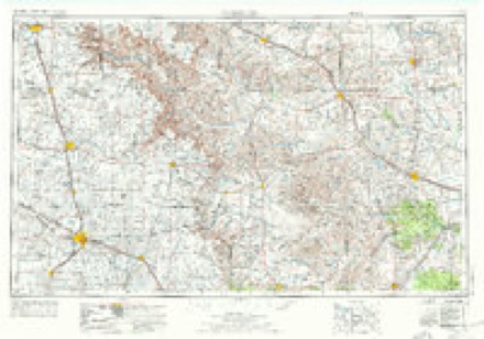
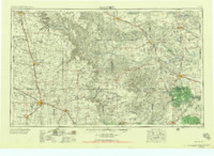
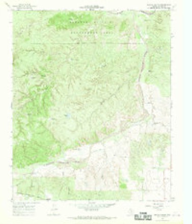
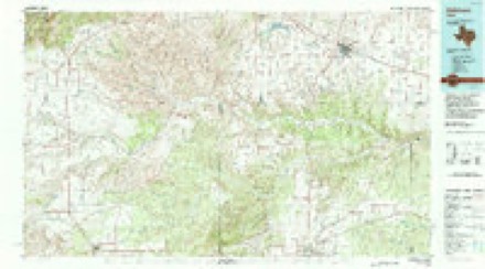
8 topographic sheets cover this place, the earliest surveyed in 1954 and the latest in 1986. It stands in the Paducah North census division. It lies in ZIP code area 79248. The Survey maps it on the Devils Canyon quadrangle.
Topographic sheets covering this place
4 surveys from 8 printed sheetsMatched by testing this settlement's coordinate against the published boundary of every sheet in the United States Geological Survey's historical collection. Each opens the scanned sheet at the Survey.
- 1954 USGS Plainview quadrangle1:250000, 3 printings
- 1958 USGS Plainview quadrangle1:250000
- 1966 USGS Devils Canyon quadrangle1:24000, 2 printings
- 1986 USGS Childress quadrangle1:100000, 2 printings
Fires near this place
24 since 2006Regional context, not property-specific evidence. The federal wildfire occurrence database lists 24 fires within 5 miles of Narcisso between 2006 and 2019, burning about 40,564 acres in total. 11 started naturally. None was recorded as arson. Distance is straight-line from the map coordinates, so a fire counted here may appear on a neighbouring settlement's page as well.
| Reported cause | Fires |
|---|---|
| Natural | 11 |
| Equipment and vehicle use | 5 |
| Missing data/not specified/undetermined | 5 |
| Debris and open burning | 2 |
| Power generation/transmission/distribution | 1 |
The most recent of them, most recent first, with the day each was reported and the service that recorded it.
| Date | Cause | Size | Reported by | Name on the report |
|---|---|---|---|---|
| 8 September 2015 | Natural | 50 acres | Texas A & M Forest Service | MUTUAL AID MOTLEY CO. |
| 8 September 2011 | Equipment and vehicle use | 1.0 acres | Texas A & M Forest Service | GRASSFIRE 8 MILES WEST HWY 70 |
| 19 September 2010 | Missing data/not specified/undetermined | 1.0 acres | Texas A & M Forest Service | RIGHT OF WAY |
| 8 August 2013 | Natural | 57 acres | Texas A & M Forest Service | TONGUE RIVER RANCH FIRE |
| 26 August 2006 | Natural | 1.0 acres | Texas A & M Forest Service | not named |
| 17 August 2019 | Missing data/not specified/undetermined | 9,931 acres | Texas A & M Forest Service | BIRD RANCH |
| 10 August 2016 | Natural | 10 acres | Texas A & M Forest Service | TONGUE RIVER RANCH WILDLAND FIRE |
| 25 July 2012 | Natural | 25 acres | Texas A & M Forest Service | WESTBROOK GRASSFIRE |
Settlements close enough to share some of these fires:
Storms near this place
16 since 1998Regional context, not property-specific evidence. The National Weather Service names Narcisso in 16 storm reports between 1998 and 2022: 9 thunderstorm wind, 4 hail, 3 tornado. No death or injury is recorded in these reports. Each account below is quoted exactly as the forecast office filed it, from the NOAA Storm Events Database, and each date opens the federal record of that event.
| When | Event | Place named | Harm | What the report says |
|---|---|---|---|---|
| September 2012 | Thunderstorm Wind | Narcisso | $200 | Decaying thunderstorms located just south of a mesoscale convective vortex produced an intense downburst in extreme southwest Cottle County. A Texas Tech University West Texas Mesonet site located ten miles west-southwest of Paducah measured severe winds from 1725 CST to 1735 CST with a peak gust of 96 mph recorded at 1730 CST. Despite the ferocious winds, only one power pole was downed in the area. Although NWS Lubbock radar indicated only marginal storm intensities during this time, the high winds were deemed legitimate based on the fact that cable ties to the mesonet tower were snapped. Farther southeast, a NWS COOP observer about ten miles south of Paducah reported a couple large tree limbs had snapped and damaged a fence. |
| May 2022 | Hail | Narcisso | - | Many reports were received of a swath of hail from far southwestern Cottle County to US Highway 83 south of Paducah. The hail stones ranged in size from quarters to tennis ball size. No damage was reported. |
| August 2022 | Thunderstorm Wind | Narcisso | - | A Texas Tech University West Texas mesonet site near Paducah measured severe wind gusts between 1758 CST and 1759 CST. The peak gust measured during this time was 65 mph at 1758 CST. |
| August 2022 | Thunderstorm Wind | Narcisso | - | A Texas Tech University West Texas mesonet site near Paducah measured a severe wind gust of 60 mph. |
| March 2021 | Hail | Narcisso | - | A swath of hail up to golf ball size occurred from a Texas Tech University West Texas mesonet ten miles southwest of Paducah to US Highway 83 seven miles south of Paducah. |
| March 2021 | Tornado (EFU) | Narcisso | - | A storm chaser observed a brief tornado about 11 miles south-southwest of Paducah. |
| May 2019 | Tornado (EFU) | Narcisso | - | The emergency manager for Cottle County witnessed and provided video evidence of a brief tornado near the intersection of US Highway 62 and Farm to Market Road 1037 west of Paducah. |
| August 2019 | Thunderstorm Wind | Narcisso | - | A Texas Tech University West Texas mesonet site near Paducah measured a peak wind gust of 69 mph. Severe wind gusts were measured for 15 minutes between 1900 CST and 1915 CST. |
| August 2016 | Thunderstorm Wind | Narcisso | - | Measured by a Texas Tech University West Texas mesonet located 10 miles SW of Paducah. |
| April 2015 | Hail | Narcisso | - | A swath of hail as large as golf ball size fell west to south of Paducah and covered the ground completely. Damage, if any, was not known. |
| April 2013 | Thunderstorm Wind | Narcisso | - | A Texas Tech University West Texas Mesonet station located 10 miles southwest of Paducah measured a 60 mph severe thunderstorm wind gust. |
| May 2012 | Thunderstorm Wind | Narcisso | - | A Texas Tech University West Texas Mesonet station located 10SW Paducah measured periodic severe wind gusts throughout a 20-minute period as a supercell storm moved over the site. The following observations indicate severe winds initially in the inflow sector of the supercell before transitioning to rear flank downdraft winds:||615 PM: East at 40 MPH, Gust to 59 MPH / |620 PM: East at 43 MPH, Gust to 59 MPH / |630 PM: Northwest at 39 MPH, Gust to 75 MPH / |635 PM: North-Northwest at 51 MPH, Gust to 70 MPH. |
| May 2012 | Tornado (EF0) | Narcisso | - | An off-duty NWS employee documented a partially rain-wrapped tornado move south-southeast over US Highway 70 about 9W Paducah. The initially large cone tornado was largely obscured in rain curtains before later emerging and shrinking in girth. Aside from crossing the highway, the tornado remained over open land. A NWS storm survey the following day revealed no damage. |
| June 2012 | Thunderstorm Wind | Narcisso | - | Measured by a Texas Tech University West Texas mesonet station. |
| June 2012 | Thunderstorm Wind | Narcisso | - | Measured by a Texas Tech University West Texas mesonet. |
| February 1998 | Hail | Narcisso | - | no account filed |
Nearest settlements
The eight closest, with where each one stands in the county. Distances are straight-line, computed from the Geographic Names Information System coordinates.
| Map | Place | Distance | Sheets |
|---|---|---|---|
| Valley View | 4.9 miles | 8 | |
| Ginsite | 7.0 miles | 8 | |
| Paducah | 9.1 miles | 8 | |
| Delwin | 9.4 miles | 8 | |
| Sneedville | 13.2 miles | 8 | |
| Dunlap | 13.5 miles | 8 | |
| Jacobs (historical) | 14.8 miles | 8 | |
| Cee Vee | 15.4 miles | 8 |
Provenance
This settlement is recorded in the Geographic Names Information System as feature 1380232. The sheet list is computed by point-in-boundary test against the United States Geological Survey's historical topographic inventory. Both are works of the United States government and carry no copyright under 17 U.S.C. 105.
Wildfire. Short, Karen C. 2022. Spatial wildfire occurrence data for the United States, 1992-2020 [FPA_FOD_20221014]. 6th Edition. Fort Collins, CO: Forest Service Research Data Archive. https://doi.org/10.2737/RDS-2013-0009.6 Collected with United States Government funding and usable without additional permissions or fees.
Storms. NOAA National Centers for Environmental Information, Storm Events Database https://www.ncei.noaa.gov/stormevents/ A work of the United States government, no copyright under 17 U.S.C. 105. Narratives are quoted verbatim from the National Weather Service report and are not edited or summarised.