 Block
BlockFrom the record
1 National Register listing published here.
Sources: the National Register database, National Park Service
27 topographic sheets cover 23 settlements here, and 1 property is on the National Register of Historic Places.
1 National Register listing published here.
Sources: the National Register database, National Park Service
Every property in this county listed on the National Register of Historic Places, with the year it was listed and the federal nomination document.
| Photograph | Property | Type | Listed | Reference |
|---|---|---|---|---|
| Quitaque Railway Tunnel | structure | 1977 | 77001442 |
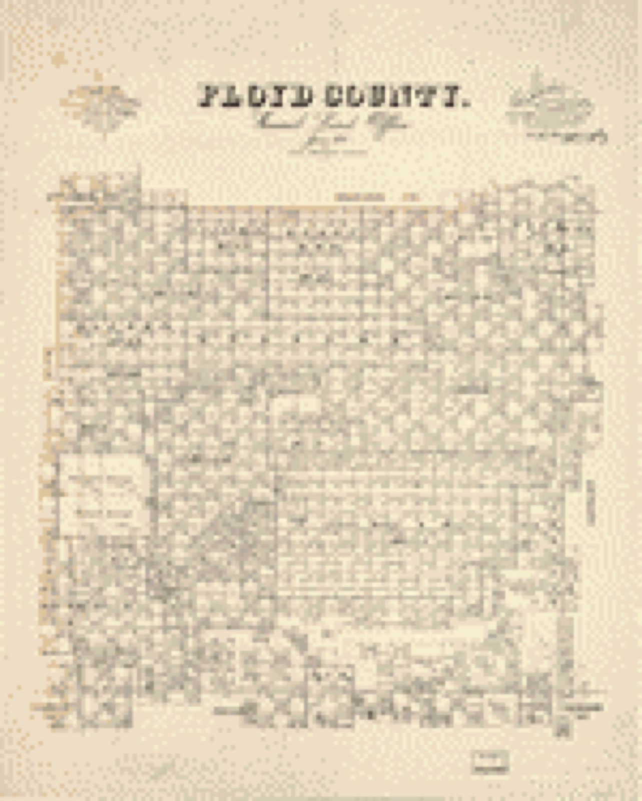
Drawn when these were printed as single large sheets: the town seen from the air, and the county divided into its farms with every owner named. Each opens the original at the Library of Congress.
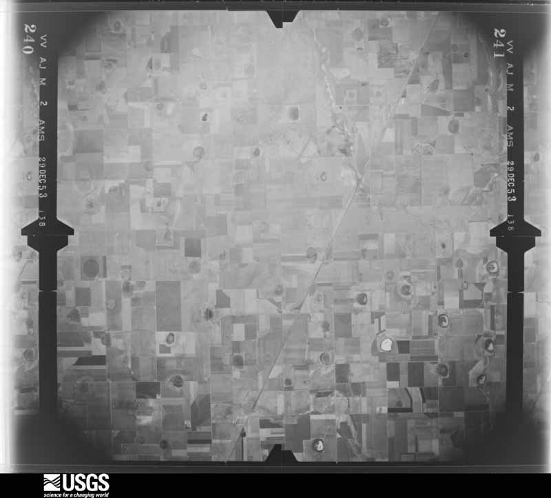
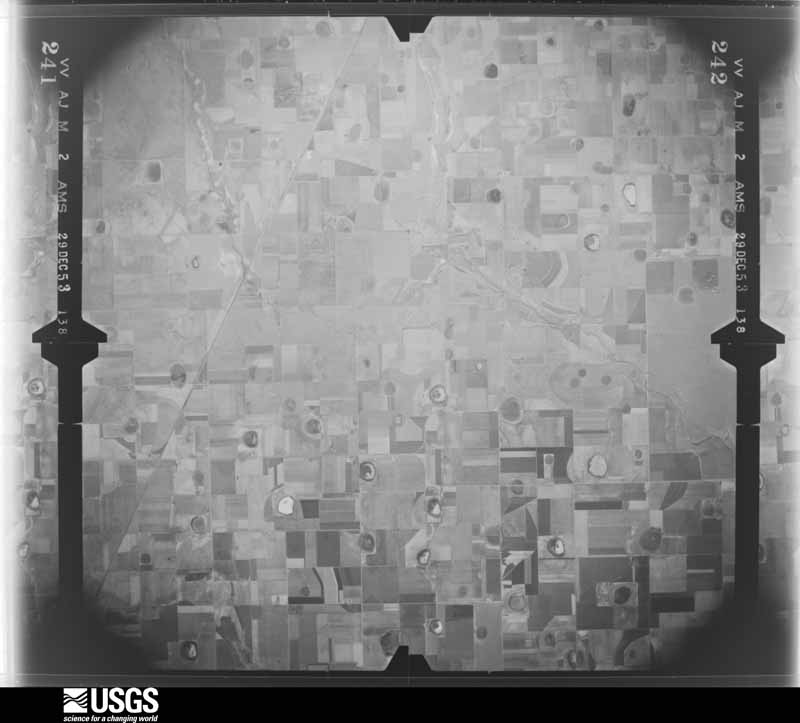
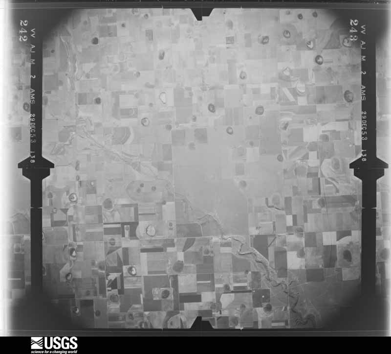
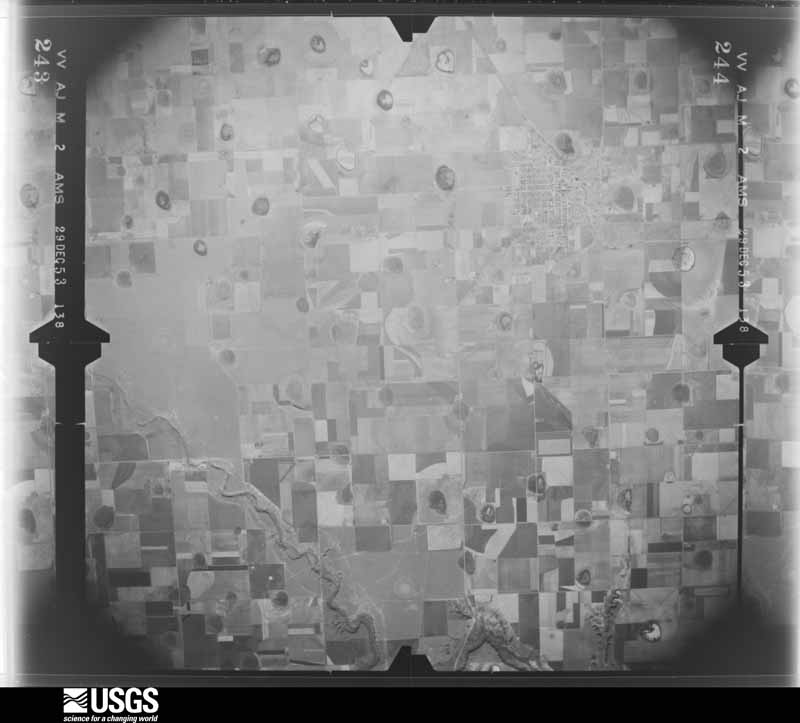
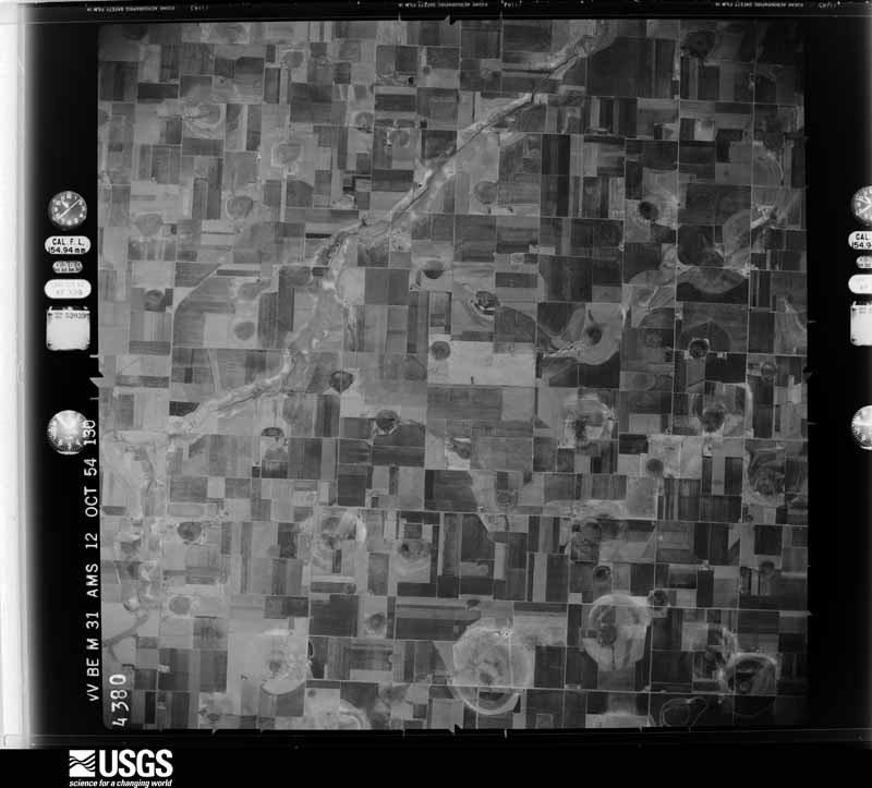
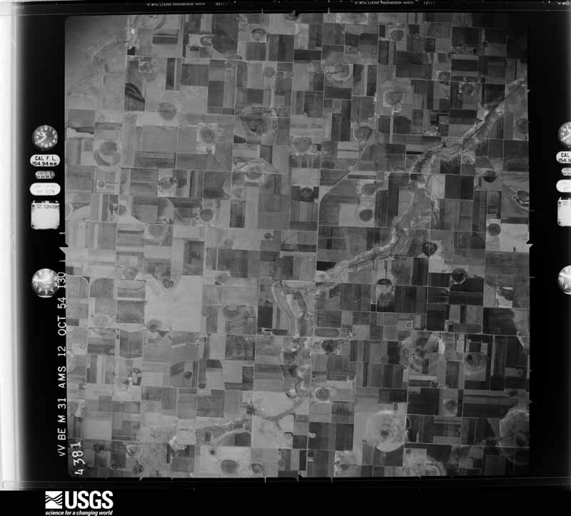
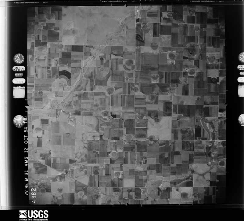
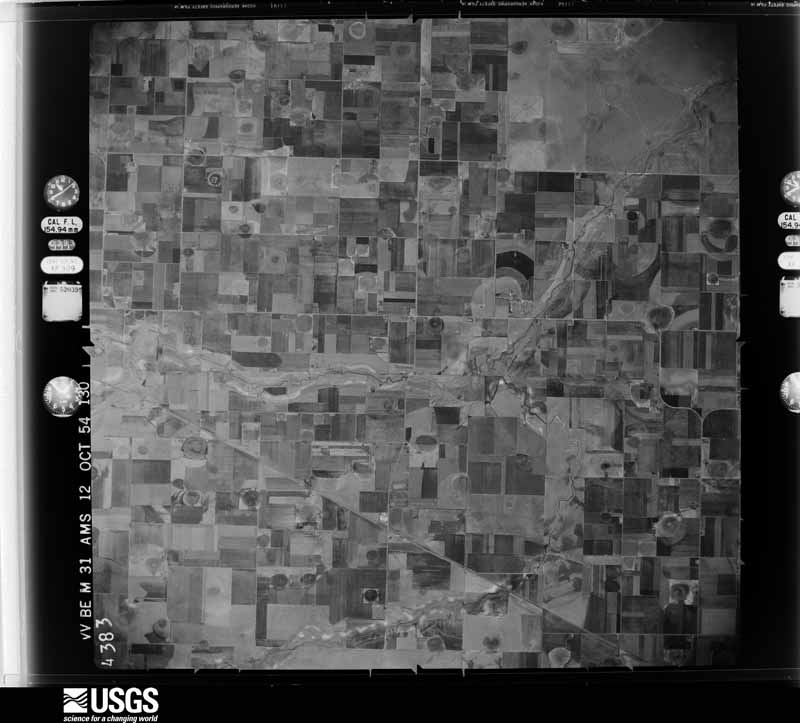
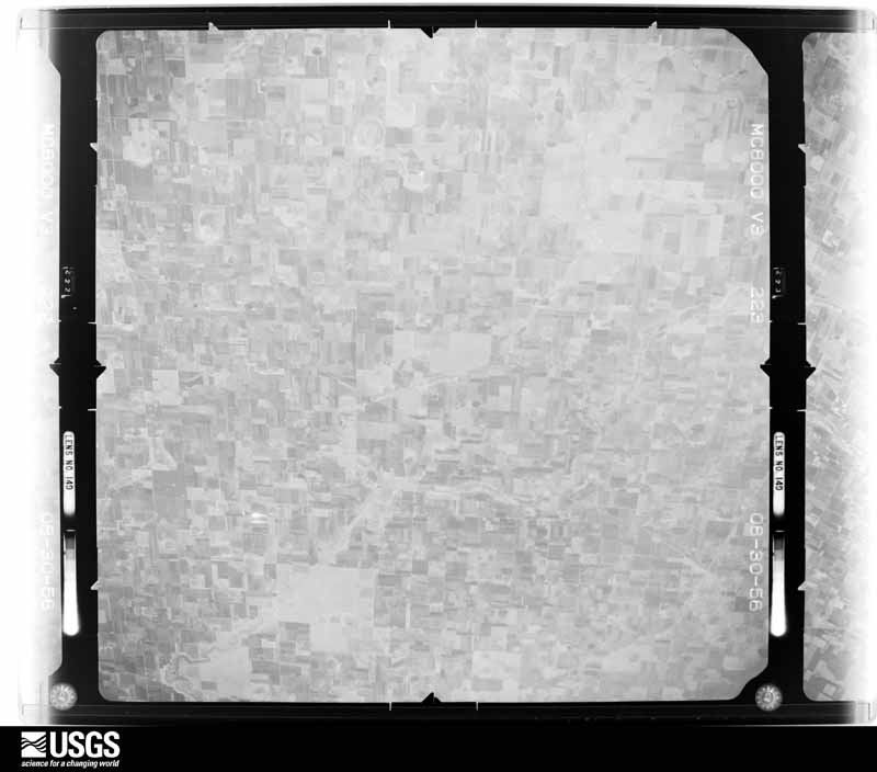
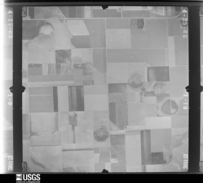
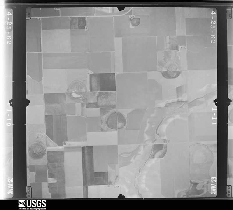
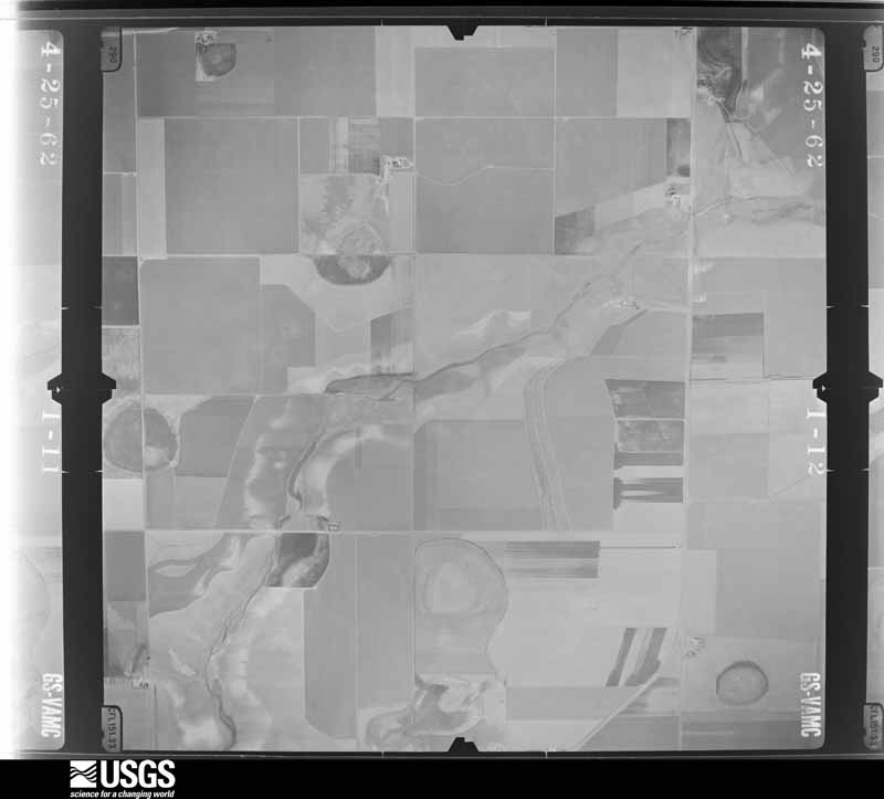
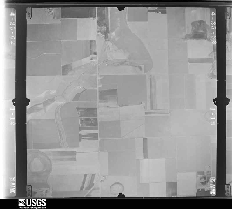
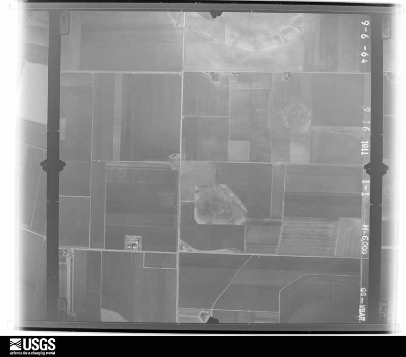
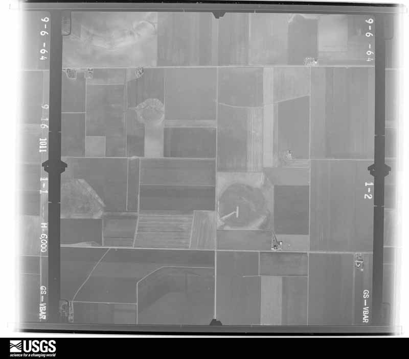
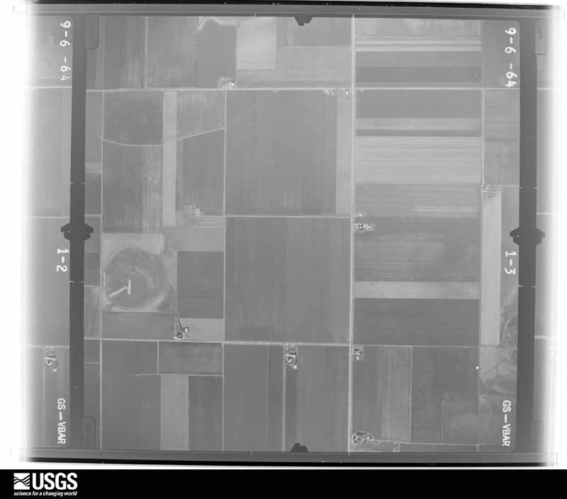
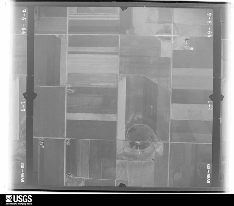
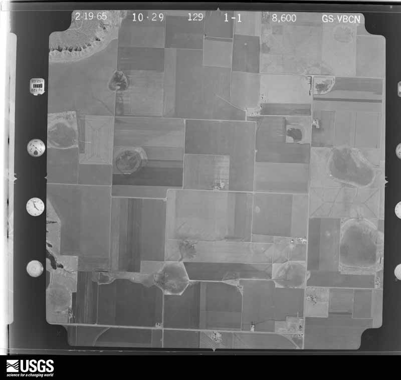
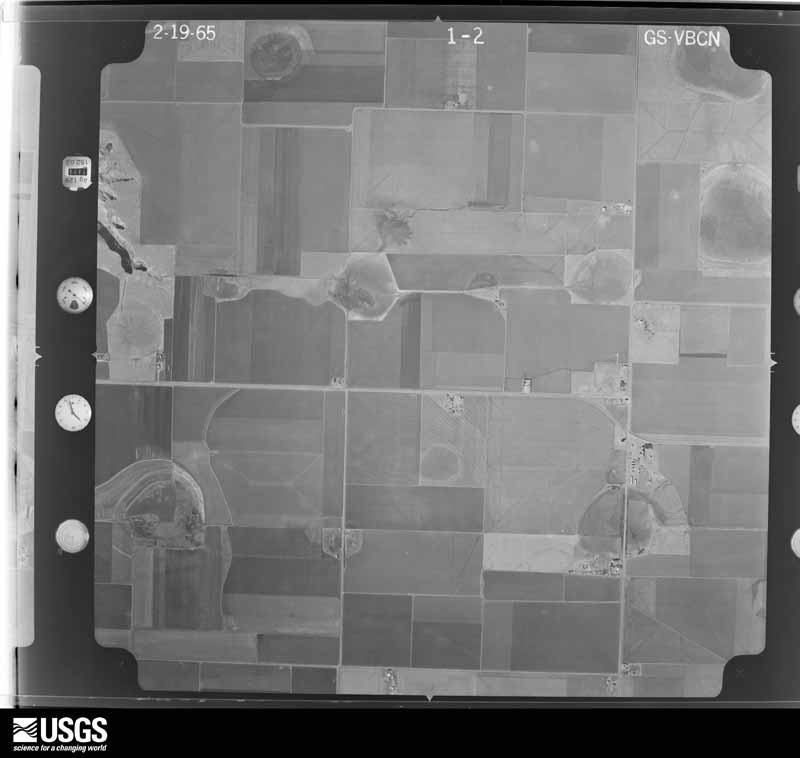
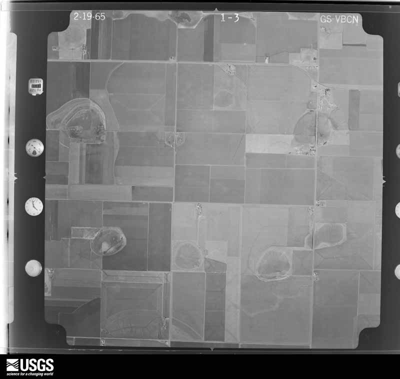
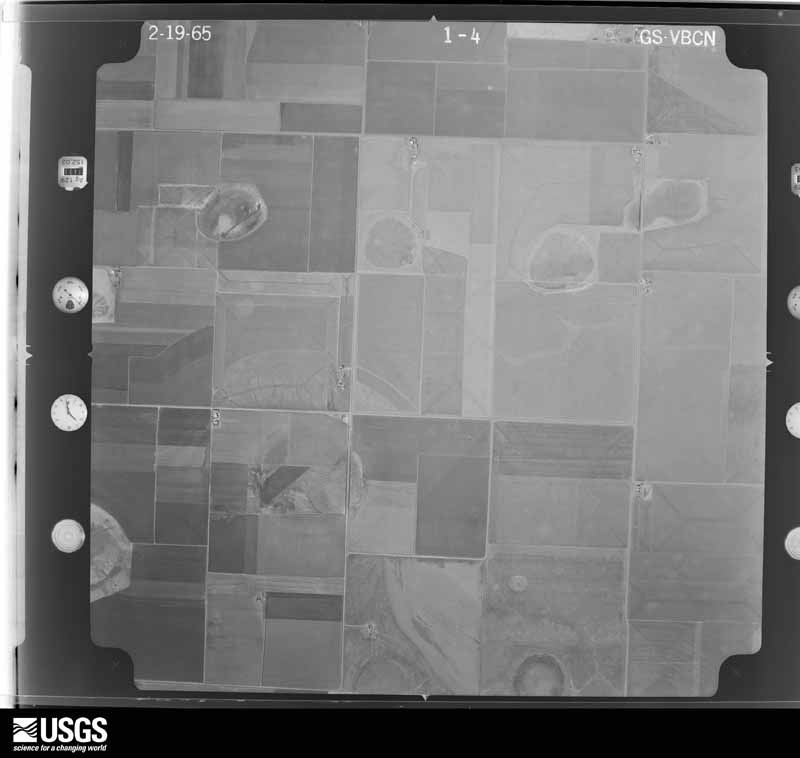
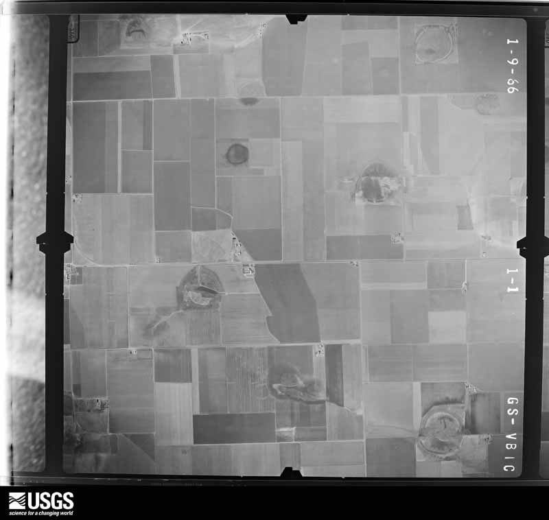
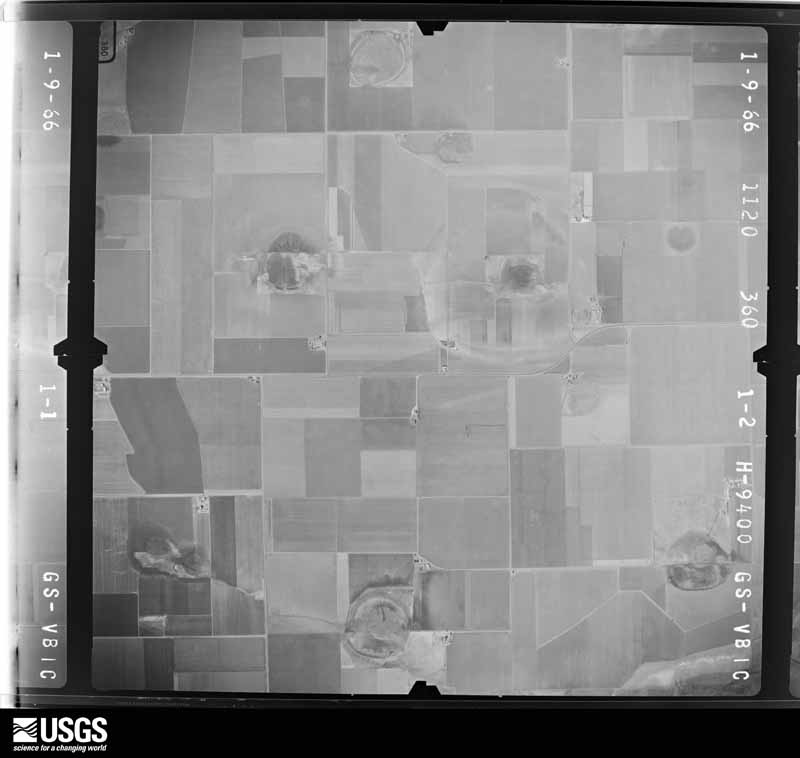
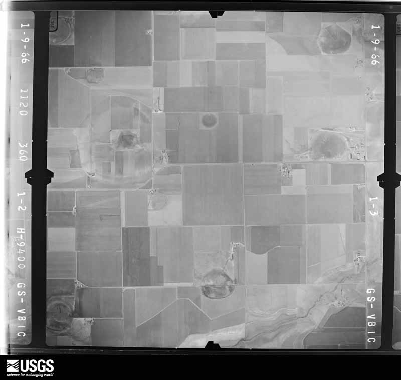
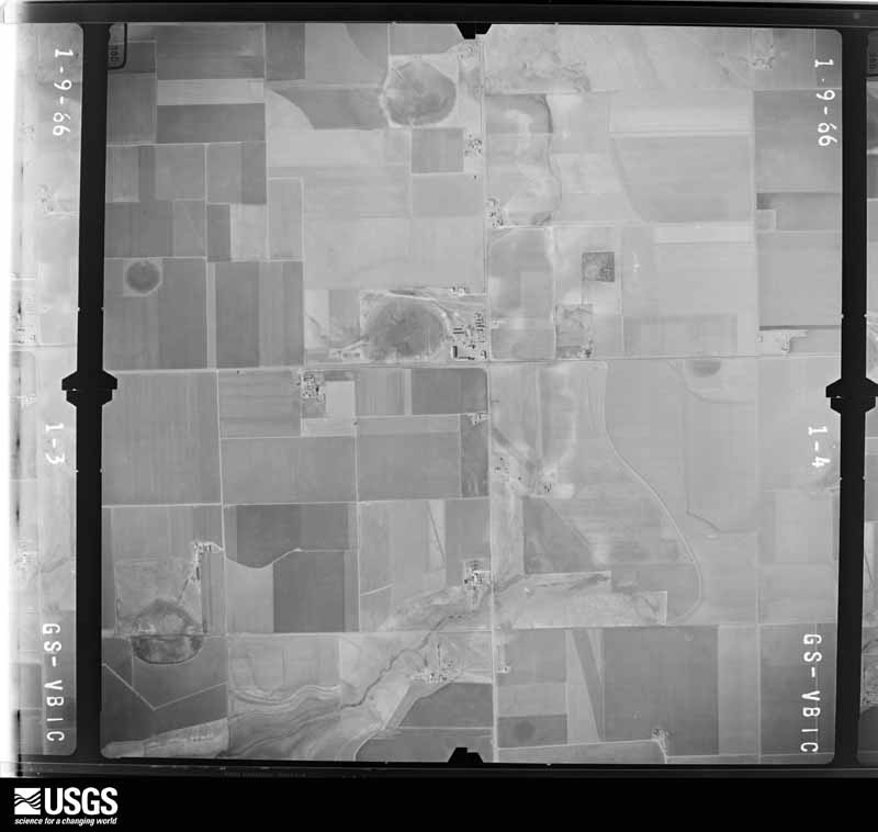
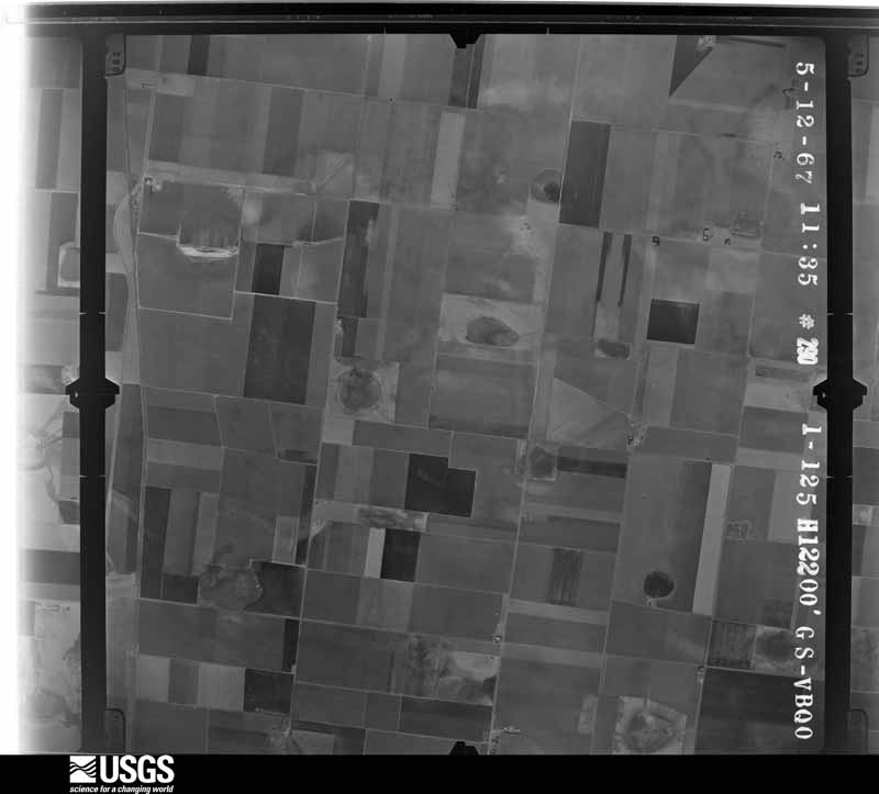
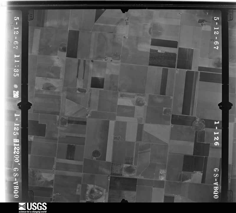
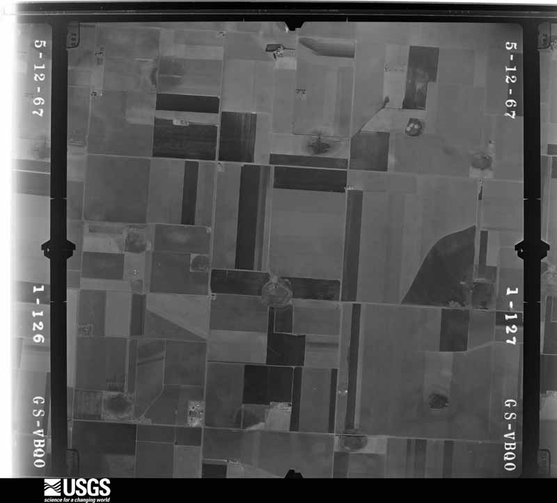
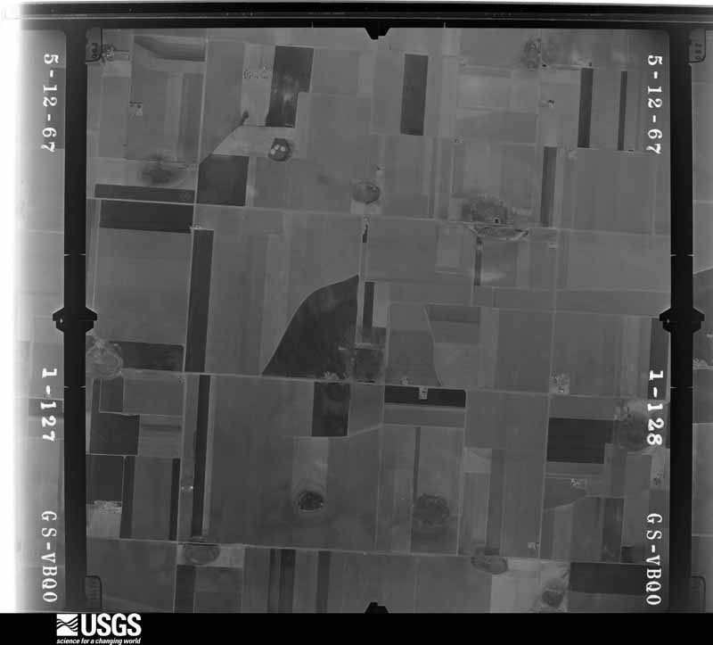
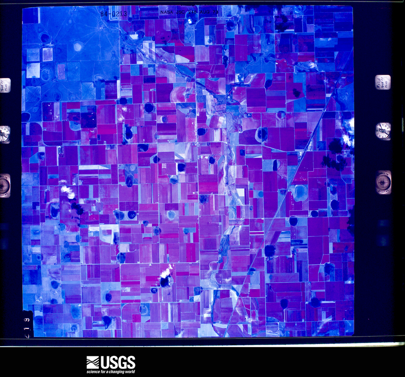
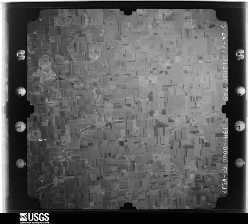
Flown by the U.S. Geological Survey between 1937 and 1989, the Aerial Photo Single Frames collection is the definitive mid-century view of the land: fields, roads and rivers as the camera saw them. The Survey holds 1,269 frames inside the rectangle that bounds this county; the 41 frames below were taken over the county itself, chosen across the decades of flights (at most four a year from that rectangle), so one flight cannot crowd out the rest. The full set is free to browse and download at EarthExplorer under the dataset Aerial Photo Single Frames.



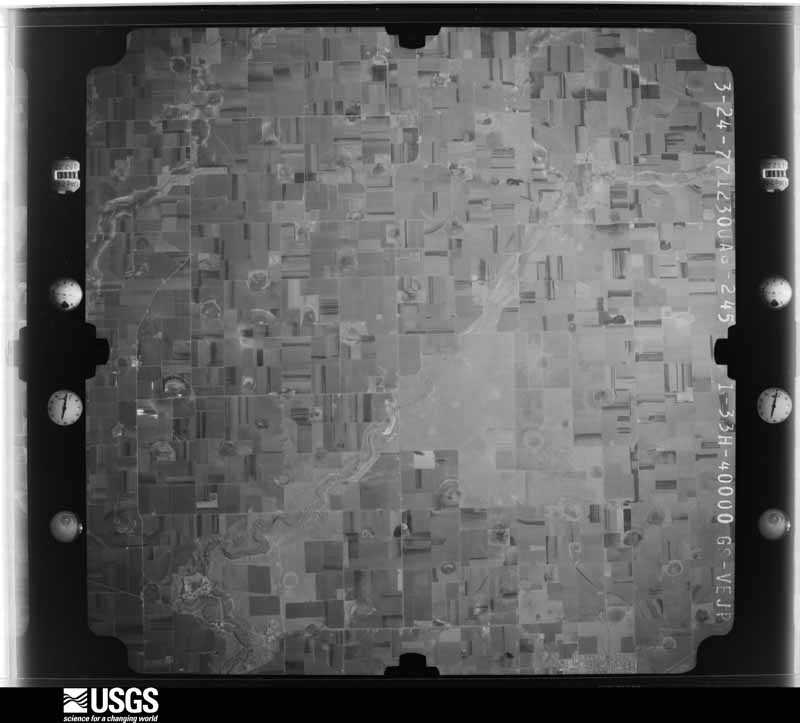
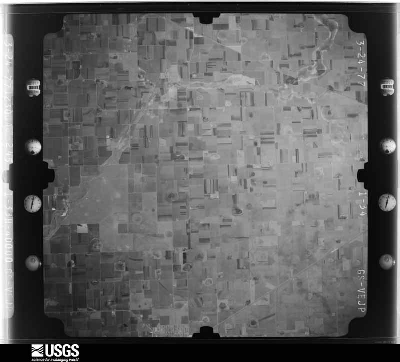
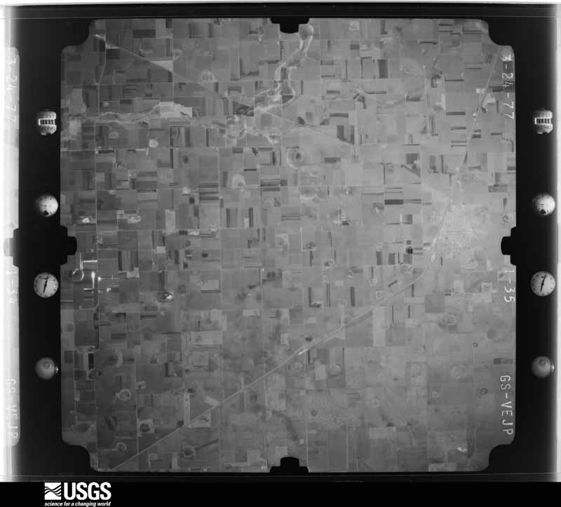
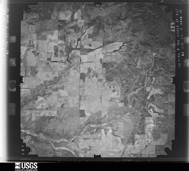
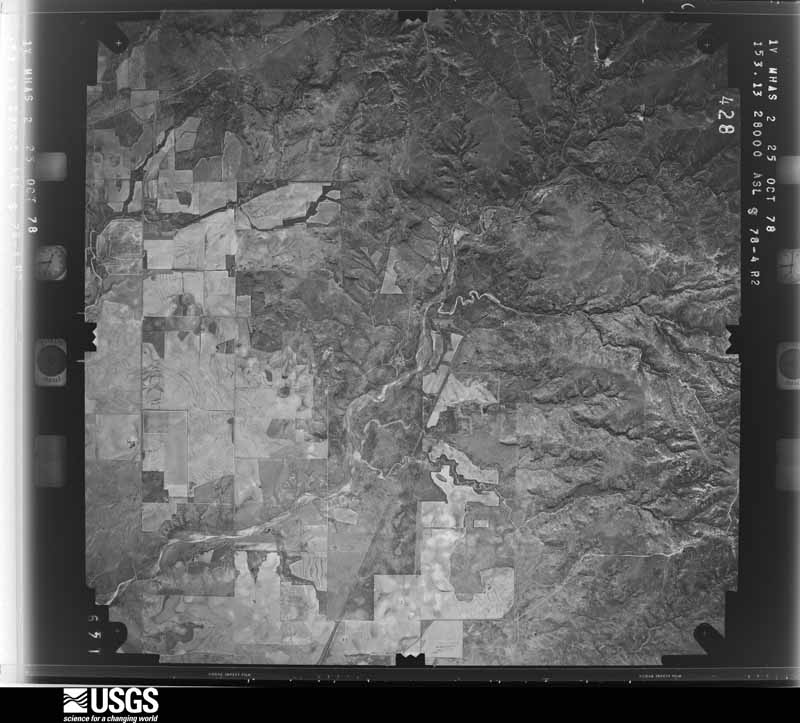
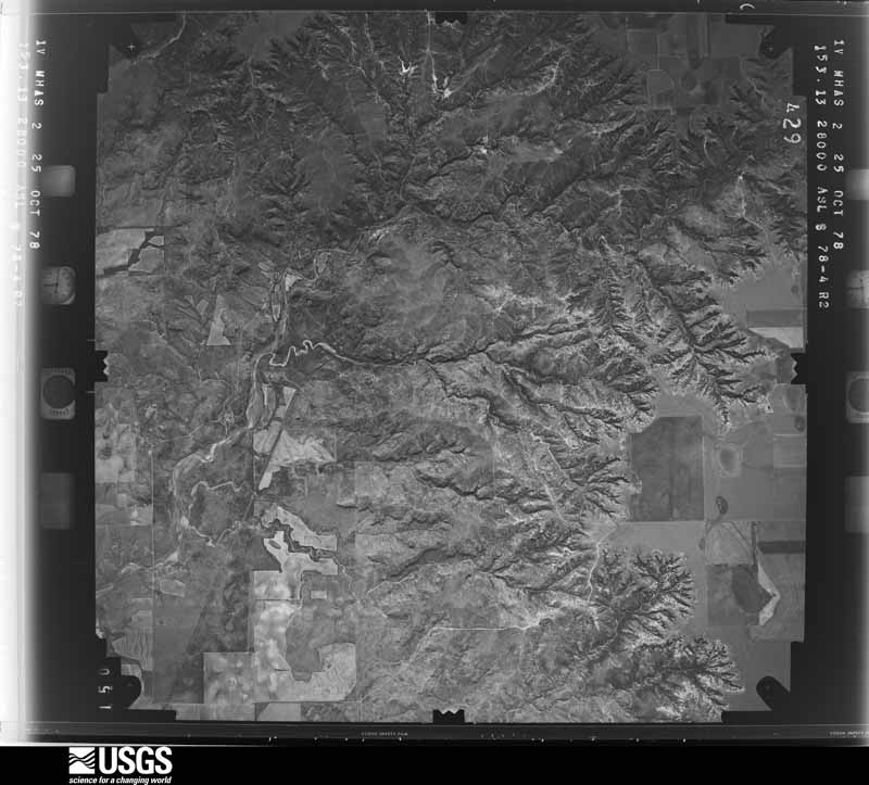
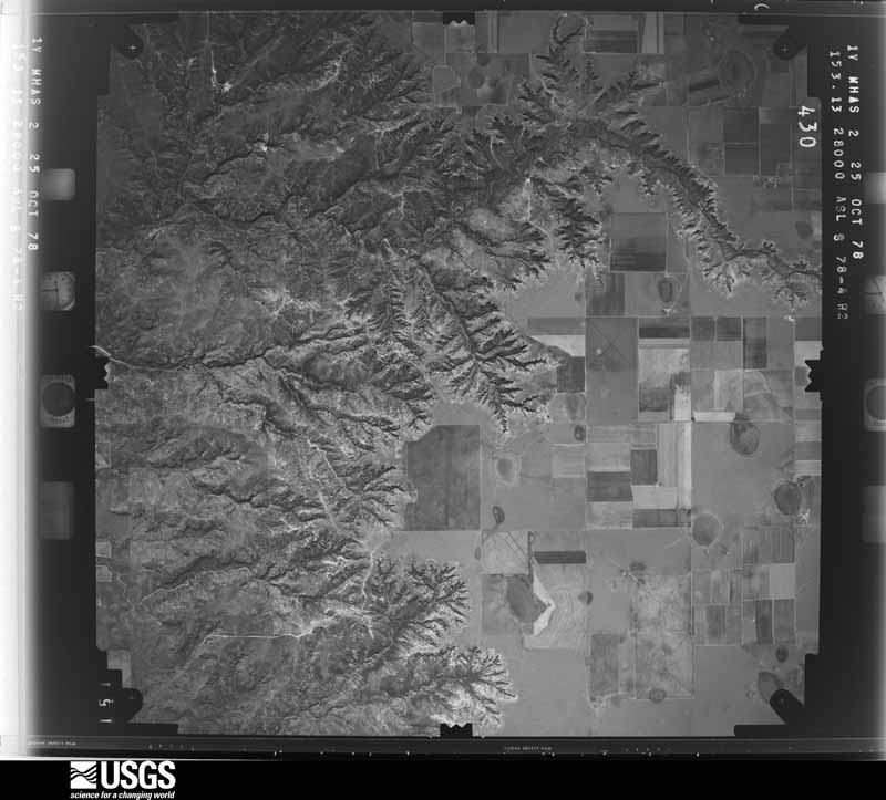
The thermometers that kept this county's weather, and the gages that measured the flow of its streams, as the federal records hold them. The extremes below are measured values from those records, not estimates.
Who lived here in 1950, one enumeration district at a time, as the Census Bureau described each district. Each row opens its official National Archives result, with Population Schedules and ED Maps available there.
Every wildfire the federal occurrence database records inside this county: 230 of them, burning about 24,580 acres. 42 started naturally and 11 were recorded as arson. Each settlement page carries the fires within five miles of it.
| Reported cause | Fires |
|---|---|
| Missing data/not specified/undetermined | 127 |
| Natural | 42 |
| Equipment and vehicle use | 19 |
| Debris and open burning | 16 |
| Arson/incendiarism | 11 |
| Smoking | 6 |
| Power generation/transmission/distribution | 5 |
| Misuse of fire by a minor | 4 |
The five largest, by the area the report gives. One of them was set deliberately.
| Date | Cause | Size | Reported by | Name on the report |
|---|---|---|---|---|
| 19 February 2011 | Missing data/not specified/undetermined | 5,000 acres | Texas A & M Forest Service | FM1065 |
| 15 December 2010 | Missing data/not specified/undetermined | 2,600 acres | Texas A & M Forest Service | HARTZEL FIRE |
| 22 January 2009 | Missing data/not specified/undetermined | 1,700 acres | Texas A & M Forest Service | FLOYD COUNTY |
| 23 November 2009 | Missing data/not specified/undetermined | 1,100 acres | Texas A & M Forest Service | FLOYD COUNTY |
| 13 September 2011 | Equipment and vehicle use | 800 acres | Texas A & M Forest Service | ASSIST FLOYD |
| 13 March 2011 | Missing data/not specified/undetermined | 750 acres | Texas A & M Forest Service | TWIN PEAKS FIRE |
| 28 December 2016 | Missing data/not specified/undetermined | 700 acres | Texas A & M Forest Service | GRASS FIRE |
| 3 June 2016 | Arson/incendiarism | 640 acres | Texas A & M Forest Service | GRASS FIRE |
Every settlement page carries the fires within five miles of it - see the settlement index below.
The NOAA Storm Events Database holds 464 reports for this county, causing 1 death, 4 injuries and about $3,721,700 in recorded property damage. Each settlement page carries the reports that name it.
| Kind of event | Reports |
|---|---|
| Hail | 263 |
| Thunderstorm Wind | 115 |
| Tornado | 61 |
| Flash Flood | 10 |
| Flood | 8 |
| Heavy Rain | 4 |
| Lightning | 3 |
The most serious of them, by death, then injury, then recorded damage. The accounts are quoted exactly as the forecast office filed them.
| When | Event | Place named | Harm | What the report says |
|---|---|---|---|---|
| May 1957 | Tornado (F0) | not stated | 1 killed | no account filed |
| June 1954 | Tornado (F3) | not stated | 3 hurt | no account filed |
| June 1995 | Thunderstorm Wind | Floydada | 1 hurt, $80,000 | no account filed |
| June 2002 | Hail | Floydada | $300,000 | Baseball size hail was reported in town. The hail damaged automobiles and the roofs of many homes. |
| May 1999 | Hail | Lockney | $300,000 | Wind-driven baseball size hail knocked windows out of automobiles and homes. |
| June 1995 | Tornado (F2) | Dougherty to | $250,000 | no account filed |
| June 1982 | Tornado (F1) | not stated | $250,000 | no account filed |
| June 2005 | Tornado (F3) | Mc Coy | $200,000 | The National Weather Service in Lubbock, TX conducted a damage survey in the vicinity of McCoy, TX in Floyd county. The tornado was a long-lived occurrence stretching from the Petersburg area in southeast Hale county across portions of southwest and south-central Floyd county. Significant damage resulted from a tornado impacting a grain elevator about 5 miles east of Petersburg/5 miles west of McCoy.The tornado destroyed the grain elevator, numerous power poles and center pivot irrigation systems across the area along and either side of FM 54. Numerous homes sustained roof and structural damage. One home sustained extensive roof damage as tornadic winds breached the garage and moved a pickup truck about ten inches in the driveway. The damage surveyed indicated the tornadic circulation was multi-vortex in nature. Extensive video of the tornado was captured by media and storm chasers depicting a very large, wedge tornado appearance. Another residence sustained extensive damage with a pickup truck thrown over 1/2 mile from the driveway into a field behind the home. The truck was lifted and carried through the air to the field and sustained only glass damage. The Fujita-rating for this long-lived tornado was rated F-3 based on the movement and condition of the vehicle, however the majority of the damage was rated in the F-1 and F-2 categories. |
| June 2002 | Thunderstorm Wind | Floydada | $150,000 | Spotters affiliated with the Floyd County Sheriff's office estimated 60 to 70 mph winds in town. The wind damaged the roofs of several homes and businesses, destroyed several center pivot irrigation systems, snapped at least 56 power poles and blew down trees. |
| May 2010 | Thunderstorm Wind | Floydada | $100,000 | The Texas Tech University West Texas Mesonet station at Floydada measured a wind gust to 84 mph. There were several reports of storm damage in Floydada. The roof was damaged to the Floyd County Historical Museum as well as a gas station. Also, the building sustained water damage with several inches of standing water inside the building. A couple of semi-trailers were blown over in addition to several large tree limbs and power poles downed in Floydada. Snow plows were additionally deployed in Floydada to remove wind-blown and drifting small hail that covered roadways. |
| May 2007 | Flash Flood | Floydada | $100,000 | A Texas Tech University West Texas Mesonet station near Floydada recorded 2.60 inches of rainfall in a thirty minute period just before 22:00 CST. By 22:05 CST, the heavy rainfall began to cause a rapid rise of water in the city. A number of homes and businesses were threatened by the rising water. Water isolated the Dairy Queen, along with a few mobile homes and the ACE Hardware store. Road crews had to repair damage caused by the water on some main city streets. |
| June 2004 | Thunderstorm Wind | Lone Star | $100,000 | Strong thunderstorm wind snapped 9 power poles and destroyed several center pivot irrigation systems. |
| June 2004 | Hail | Dougherty | $100,000 | Large hail damaged automobiles and broke out windows from several homes. Thousands of acres of cotton were destroyed. |
| June 2003 | Hail | Lockney | $100,000 | The Floyd County Sheriff's Office reported golfball size hail. |
| June 2002 | Hail | Floydada | $100,000 | The Floyd County Sheriff's office reported golfball size hail. The hail damaged automobiles and the roofs of homes. |
| May 2006 | Thunderstorm Wind | Floydada | $80,000 | As severe thunderstorms and their associated damaging winds spread northeastward into southern Floyd County, at least fifteen medium voltage utility poles were snapped. Some of the poles were broken up to ten feet from their base. |
| June 2003 | Thunderstorm Wind | Lockney | $80,000 | Strong thunderstorm wind destroyed several center pivot irrigation systems and uprooted trees. |
| June 2001 | Tornado (F1) | Floydada | $80,000 | A (landspout) tornado was reported by storm spotters near the Sandhill community. The tornado remained nearly stationary over farmland for its entire lifetime, destroying a couple center pivot irrigation systems. |
| May 2007 | Flash Flood | Floydada | $75,000 | Many reports of flash flooding were received from near the Hale and Floyd County line northeastward to Floydada. Many secondary roads were inundated by flowing flood waters including Farm to Market Road 54. In Floydada, a playa lake on the south side of the city flooded and caused high water to threaten a number of mobile homes and two businesses. High water also flowed over Highway 62 south of the city. |
| June 2001 | Hail | Floydada | $75,000 | Law enforcement officials reported golfball size hail. |
| June 2004 | Hail | Lockney | $50,000 | Fire department reported tennis ball size hail. Automobiles were damaged and windows were broken out of several homes. Thousands of acres of crops were destroyed. |
| June 2002 | Thunderstorm Wind | Barwise | $50,000 | Strong thunderstorm winds destroyed a large feeder house. |
| June 2002 | Hail | Floydada | $50,000 | Law enforcement officials reported golfball size hail. |
| June 2001 | Hail | Floydada | $50,000 | Storm spotters reported golfball size hail. |
| June 2001 | Hail | Floydada | $50,000 | Fire department storm spotters reported golfball size hail. |
| April 1999 | Lightning | Floydada | $50,000 | Lightning struck a house and started a fire that resulted in considerable damage. |
| July 1998 | Thunderstorm Wind | Floydada | $50,000 | no account filed |
| July 1994 | Thunderstorm Wind | Floydada | $50,000 | no account filed |
| July 1994 | Thunderstorm Wind | Floydada | $50,000 | no account filed |
| June 1994 | Thunderstorm Wind | South Plains | $50,000 | no account filed |
| December 1993 | Thunderstorm Wind | Floydada | $50,000 | no account filed |
| March 2017 | Hail | Lakeview | $25,000 | A large and prolific hailswath crossed U.S. Highway 70 in far eastern Floyd County. Hailstones as large as 1.5 inches in diameter caused damage to several vehicles in the area and shredded hundreds of acres of winter wheat. The duration of hail was so great that it covered the ground with about three inches of hail resulting in hazardous travel conditions and dense fog. |
| April 2010 | Flood | Mc Coy | $25,000 | Flooding from heavy rainfall rendered a number of roadways impassable in portions of central and northern Floyd County. Texas Highway 207 and Farm to Market Road 97 north of Floydada were closed. A motorist was stranded by high water near Cedar Hill, and was rescued by law enforcement and fire fighting officials. Low lying areas in Floydada also flooded, and several structures were threatened. |
| April 2009 | Tornado (EF1) | South Plains | $25,000 | Numerous storm chasers documented a long-lived tornado in northeastern Floyd County during the 17:00 CST hour of the 29th. The tornado initially developed at 17:11 CST northwest of Cedar Hill, and quickly evolved from its initial appearance as a thin rope to a fat cone-shaped vortex. The tornado tracked east-southeastward across Farm to Market Road 97 just west of Cedar Hill, where it downed four utility poles as it crossed that highway. At least a couple of the wooden poles were snapped just above ground level. The tornado continued east-southeastward as a satellite tornado developed north of the main tornado. Both tornadoes remained over open range land and no damages were reported. Video and photographs provided by several storm chasers suggest that the visible condensation funnel disappeared at 17:21 CST, but then reformed briefly as a thin rope-shaped vortex at 17:23 CST before the tornado dissipated. |
| June 2003 | Thunderstorm Wind | Floydada | $25,000 | Strong thunderstorm wind damaged roofs in town and blew down trees and power poles. |
| June 2003 | Hail | Lakeview | $25,000 | Storm spotters affiliated with the Floydada FD reported golfball size hail. |
| June 2003 | Hail | Dougherty | $25,000 | The Floyd County Sheriff's Office reported golfball size hail. |
| June 2002 | Hail | Muncy | $25,000 | The public reported golfball size hail. |
| September 2008 | Flood | Floydada | $25,000 | no account filed |
| May 1989 | Tornado (F1) | not stated | $25,000 | no account filed |
| May 1961 | Tornado (F2) | not stated | $25,000 | no account filed |
| October 1960 | Tornado (F1) | not stated | $25,000 | no account filed |
| June 1959 | Tornado | not stated | $25,000 | no account filed |
| June 2008 | Thunderstorm Wind | Lockney | $20,000 | Multiple reports of damaging thunderstorm winds were received over portions of western and central Floyd County around 18:00 CST. Initial Skywarn storm spotter estimated winds speeds between 60 and 70 mph were reported at Lockney between 17:50 CST and 17:55 CST. These winds downed power lines and poles and broke large tree branches. The Texas Tech University West Texas Mesonet site near Floydada recorded gusts of 62 mph and 61 mph at 17:55 CST and 18:00 CST respectively. Spotters additionally estimated wind gusts up to 60 mph at McCoy near the intersection of Farm to Market Roads 54 and 3111 at 18:10 CST. The winds were intermittently accompanied by large hail. |
| June 2002 | Hail | Floydada | $20,000 | Golfball size hail was reported in Cedar Hill. |
| June 1995 | Tornado (F0) | South Plains | $20,000 | no account filed |
| September 2010 | Thunderstorm Wind | Floydada | $15,000 | At 20:15 CST, local law enforcement officials estimated that thunderstorm wind gusts exceeded 65 mph in Floydada. A National Weather Service survey team found a swath of wind damage from immediately south of Floydada to approximately eight miles east of town along U.S. Highway 62/70. Large sections of corn were reportedly blown over by the winds and several utility poles were snapped. |
| August 2007 | Thunderstorm Wind | Floydada | $15,000 | The Texas Tech University West Texas Mesonet site near Floydada recorded a peak wind gust of 66 mph as a gust front raced southward in advance of a severe convective complex over Floyd County. Local officials reported that numerous street signs were downed and several tin roofs sustained damage. Tree damage was additionally reported to be widespread. |
| April 1999 | Thunderstorm Wind | Dougherty | $15,000 | Strong wind removed numerous shingles from one roof and caused extensive damage to another. |
| May 1999 | Thunderstorm Wind | Aiken | $15,000 | Strong thunderstorm wind blew the roof off a module shed, destroyed a barn, and blew down 30 power poles on Farm-to-Market Road 788. |
| May 2002 | Hail | Floydada | $15,000 | no account filed |
| May 1998 | Thunderstorm Wind | Floydada | $15,000 | no account filed |
| July 1998 | Thunderstorm Wind | Floydada | $15,000 | no account filed |
| June 2014 | Hail | South Plains | $12,000 | A supercell produced a swath of golf ball to baseball size hail from near South Plains to Cedar Hill. A few storm spotters received broken windshields and dented body panels from the hail. |
| April 2015 | Hail | South Plains | $10,000 | Fire department officials and storm spotters estimated hail to hen egg size. Damage was reported to storm spotter vehicles, some of which lost windshields. |
| May 2013 | Thunderstorm Wind | Lakeview | $10,000 | A NWS COOP observer reported shingles removed from multiple homes southeast of Floydada. These winds were the result of an intense rear flank downdraft of a supercell that would later proceed southward into Crosby County and produce an extended period of strong and severe winds. |
| April 2010 | Hail | South Plains | $10,000 | A motorist reported that penny to quarter size hail damaged her vehicle along Texas Highway 207 just south of South Plains. |
| June 2010 | Thunderstorm Wind | Lockney | $10,000 | The public reported thunderstorm wind gusts estimated to be in excess of 60 mph in Lockney at 20:20 CST, where the winds contributed to power outages. A street light was blown down onto power lines along U.S. Highway 70 in Muncey. At 20:25 CST a Texas Tech University West Texas Mesonet site near Floydada measured a 63 mph thunderstorm wind gust. |
| July 2009 | Thunderstorm Wind | Aiken | $10,000 | Local officials reported that two utility poles were blown down by thunderstorm winds along U.S. Highway 70 at Aiken. |
| March 2007 | Lightning | Floydada | $10,000 | Lighting struck a radio antenna near Floydada. Damage resulting from the lighting strike left local law enforcement without radio communication through the night. |
Named settlements recorded in the Geographic Names Information System, each with the topographic sheets covering it. Villages, hamlets and abandoned places alike. Each is shown with the nearest named watercourse or landform and the survey quadrangle it falls on.
Floydada census division · 79250 · Near Crawfish Draw · Barwise quadrangle
7 sheets, 1954 to 1986
Lockney census division · 79255 · On Smith Creek · Quitaque quadrangle
7 sheets, 1954 to 1985
Lockney census division · 79255 · Near Long Hollow · Quitaque quadrangle
7 sheets, 1954 to 1985
Floydada census division · 79235 · Near Running Water Draw · Sandhill quadrangle
7 sheets, 1954 to 1986