 Block
BlockFrom the record
15 National Register listings published here.
Sources: the National Register database, National Park Service
72 topographic sheets cover 37 settlements here, and 15 properties are on the National Register of Historic Places.
15 National Register listings published here.
Sources: the National Register database, National Park Service
Every property in this county listed on the National Register of Historic Places, with the year it was listed and the federal nomination document.
| Photograph | Property | Type | Listed | Reference |
|---|---|---|---|---|
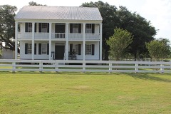 | Braches House | building | 1971 | 71000936 |
| Edwards High School | building | 2024 | 100010161 | |
 | First Shot Monuments Historic District | district | 2017 | 100000673 |
| First Shot Monuments Historic District | district | 2017 | 100000673 |
| First Shot Monuments Historic District | district | 2017 | 100000673 |
| First Shot Monuments Historic District | district | 2017 | 100000673 |
 | Gonzales Commercial Historic District | district | 1996 | 96000935 |
 | Gonzales County Courthouse | building | 1972 | 72001364 |
 | Gonzales County Jail | building | 1975 | 75001985 |
 | Gonzales Memorial Museum and Amphitheater Historic District | building | 2004 | 03001414 |
 | William Buckner and Sue Houston House | building | 2003 | 03000769 |
 | Kennard House | building | 1971 | 71000937 |
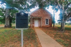 | Leesville Schoolhouse | building | 1978 | 78002937 |
 | Thomas Harrison and Mollie Spooner House | building | 2003 | 03000610 |
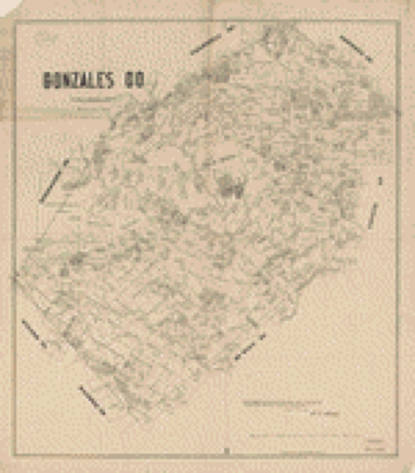
Drawn when these were printed as single large sheets: the town seen from the air, and the county divided into its farms with every owner named. Each opens the original at the Library of Congress.
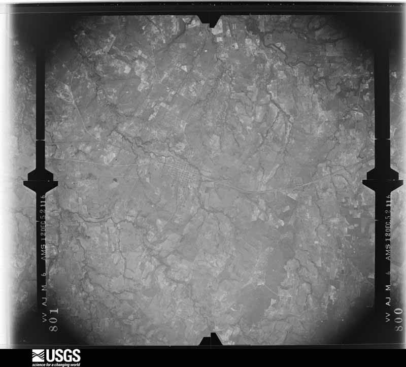
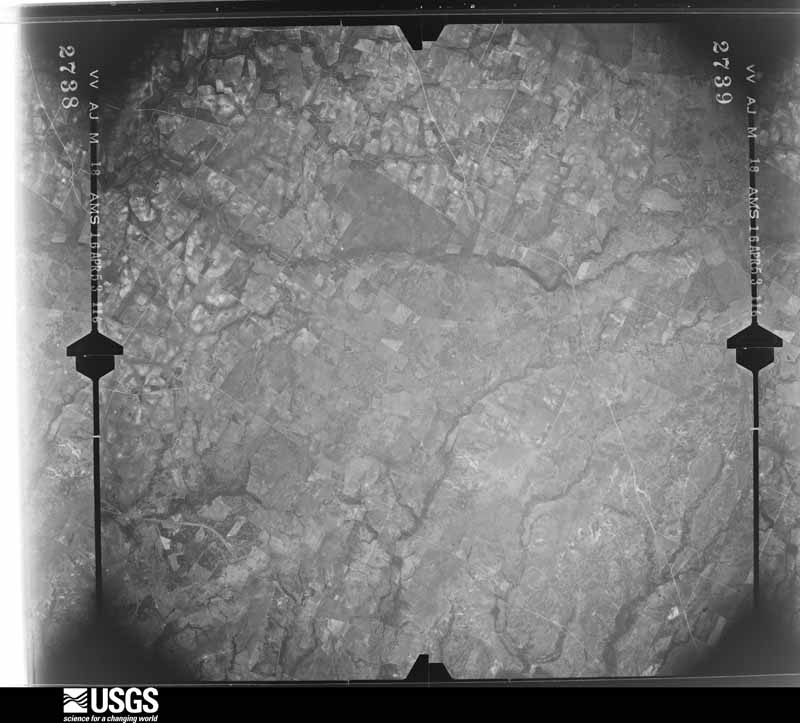
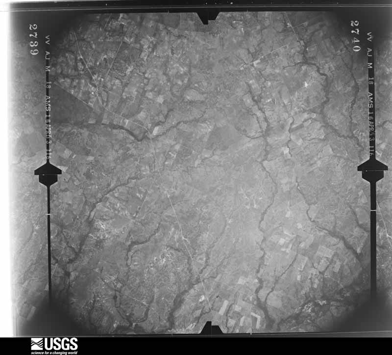
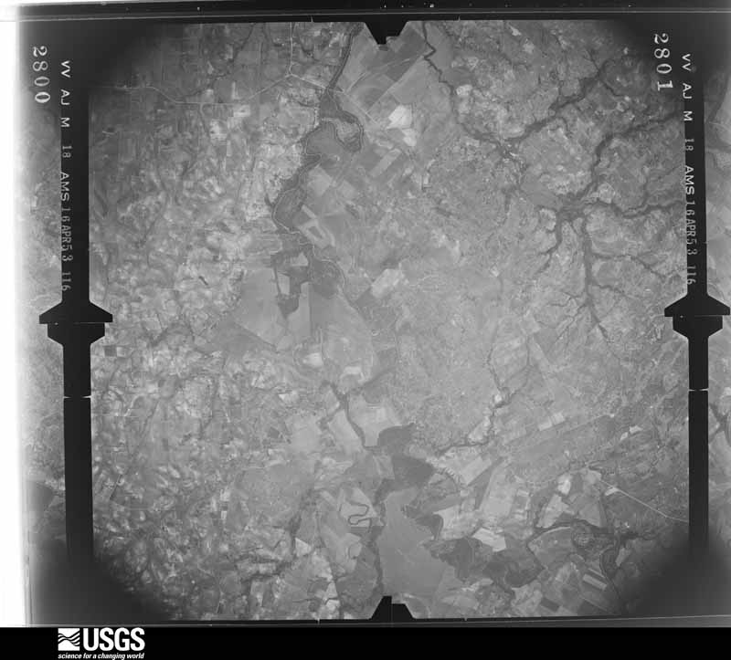
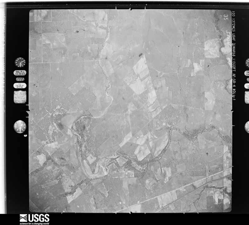
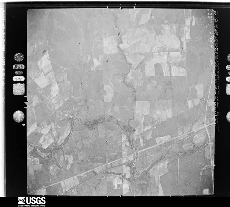
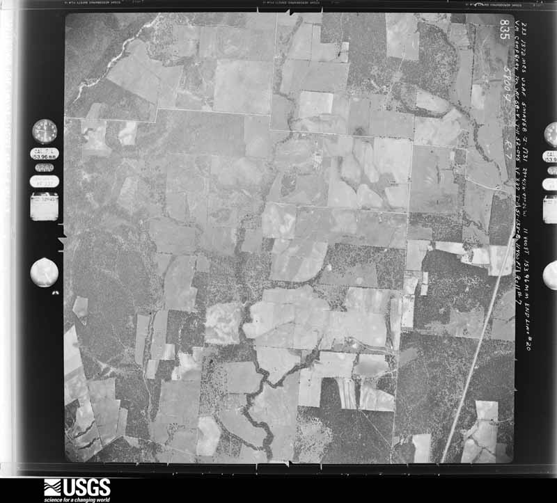
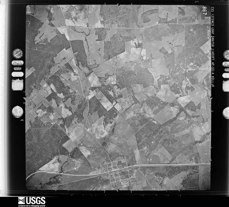
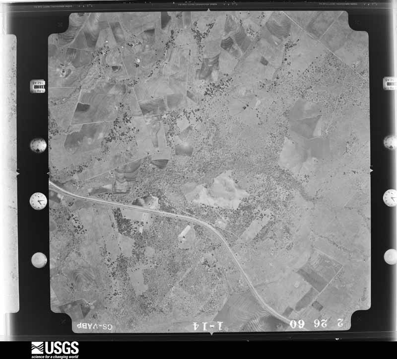
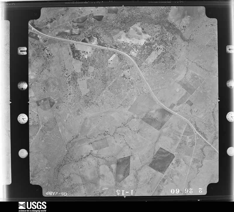
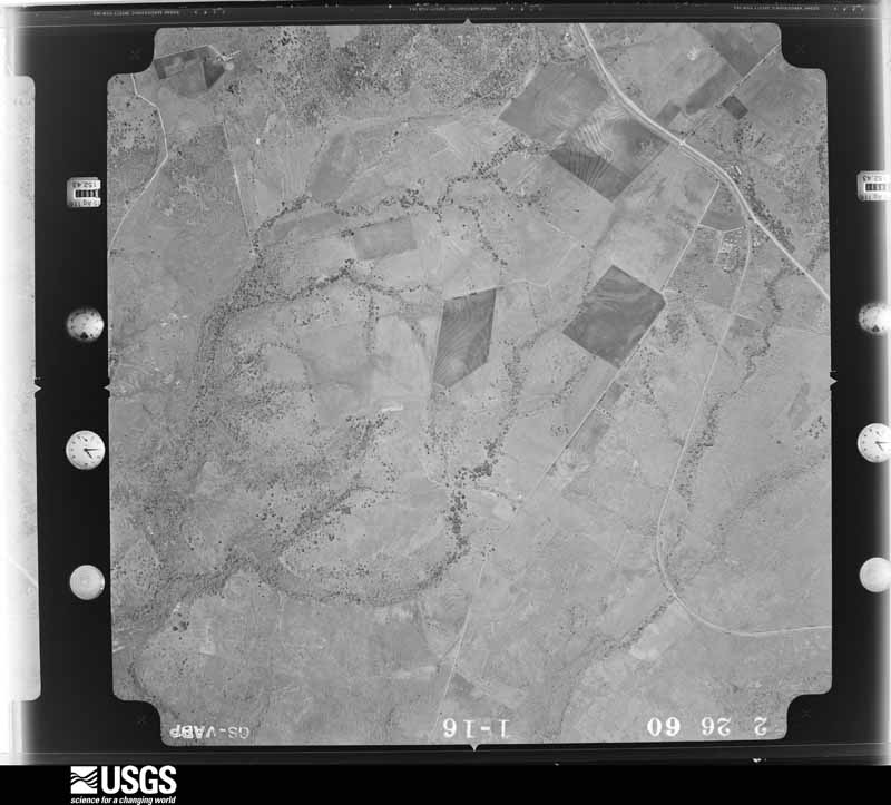
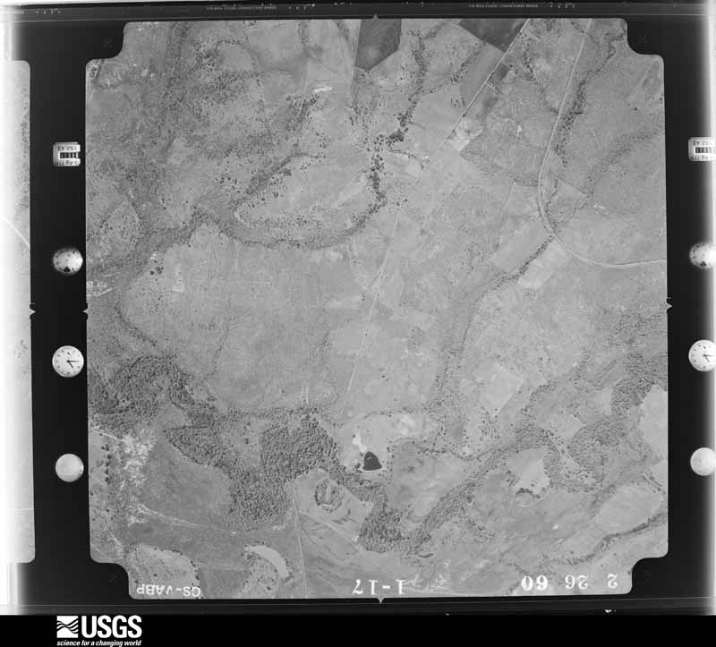
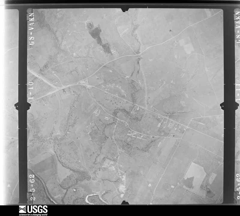
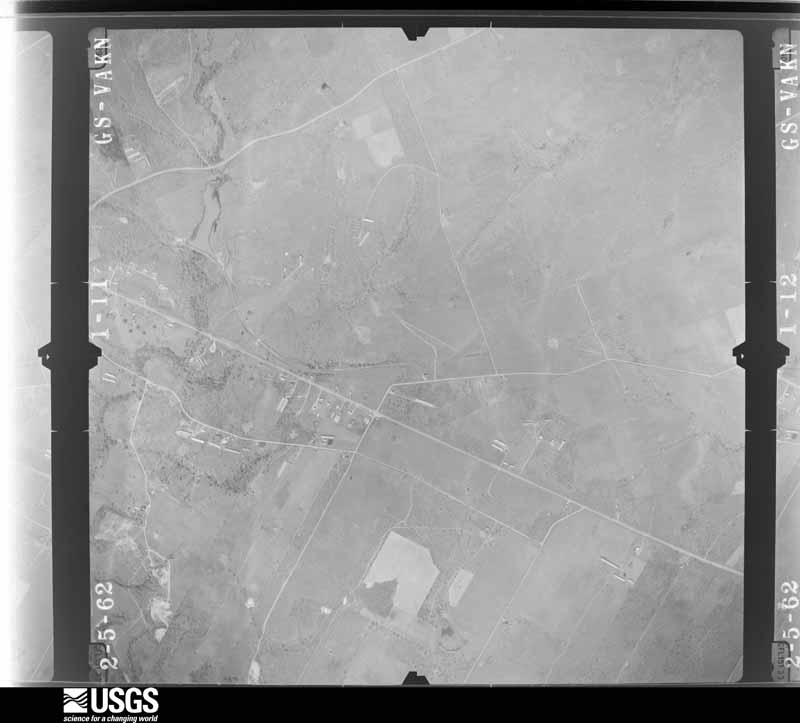
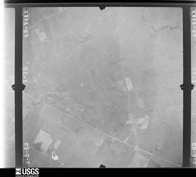
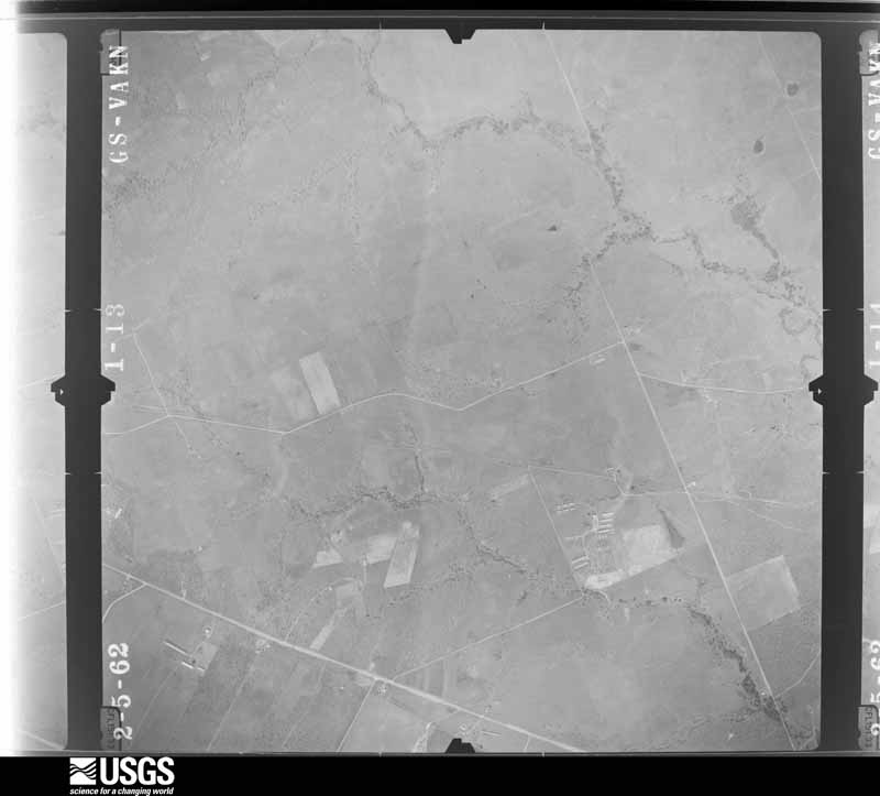
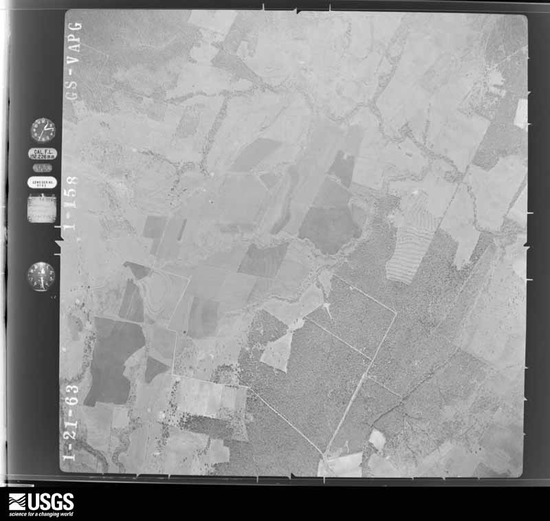
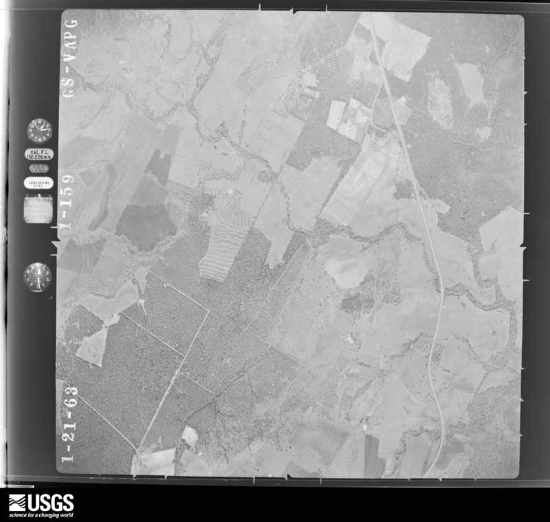
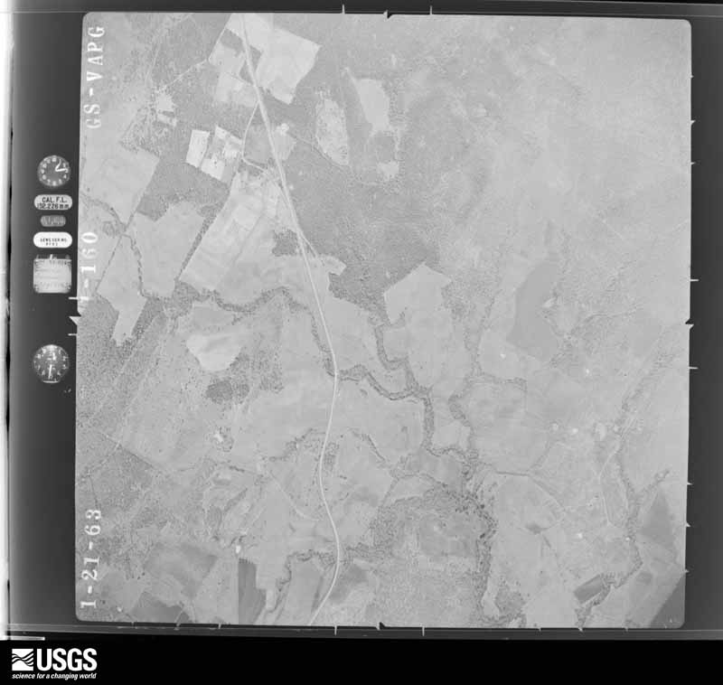
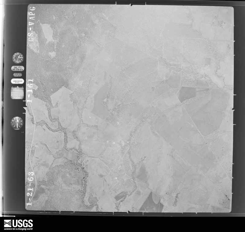
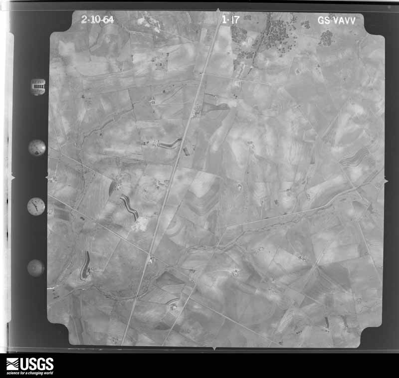
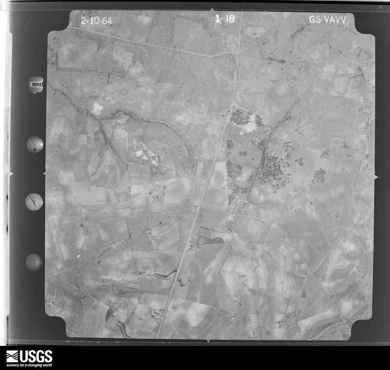
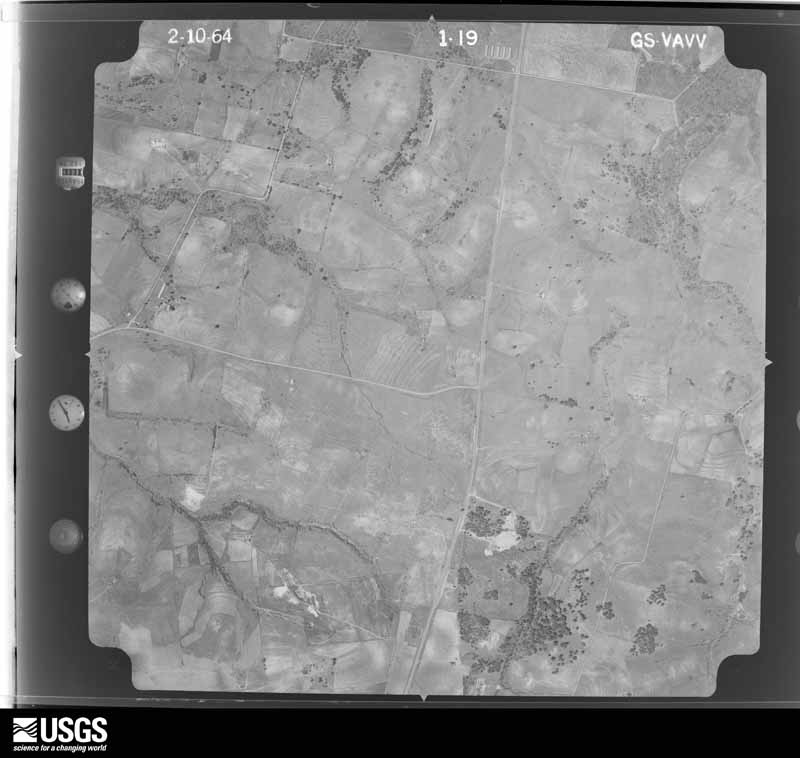
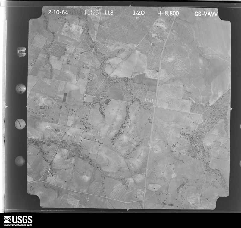
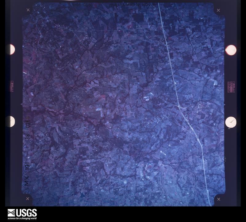
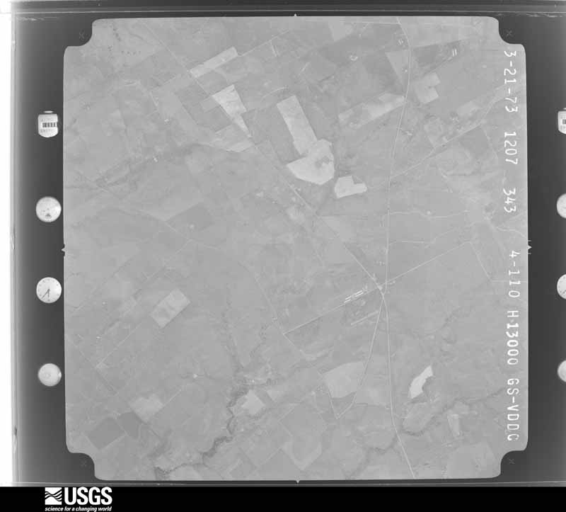
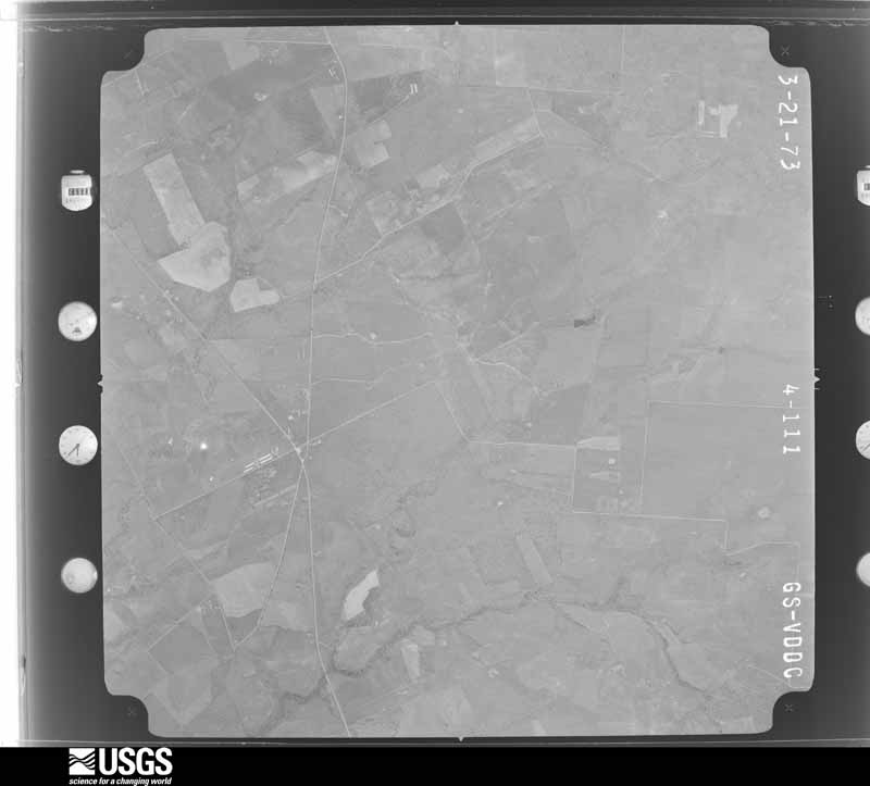
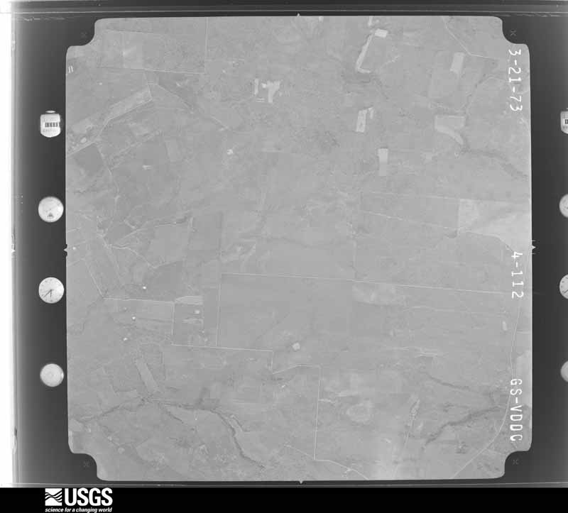
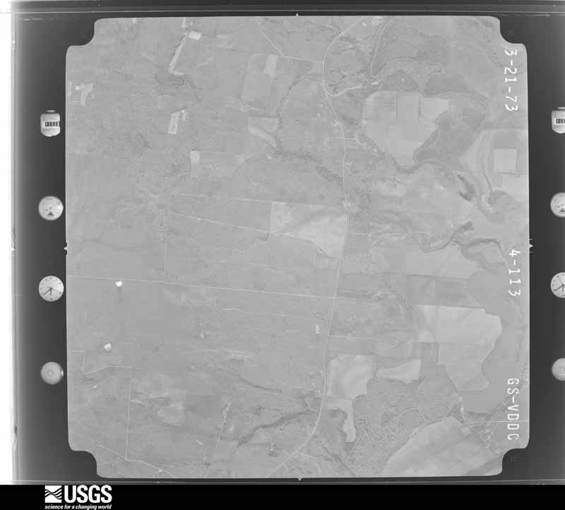
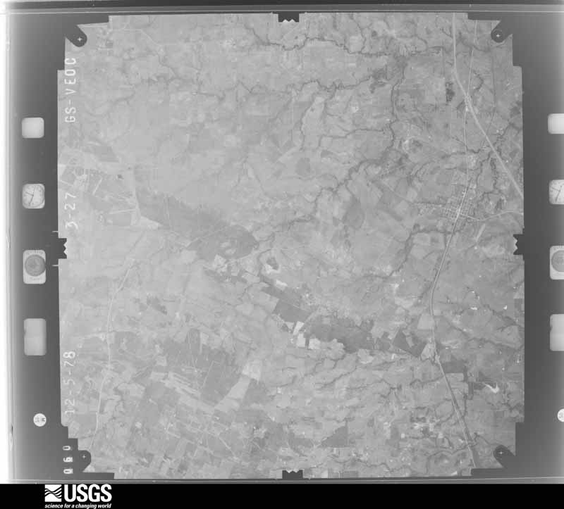
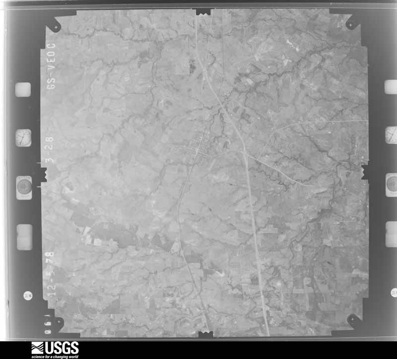
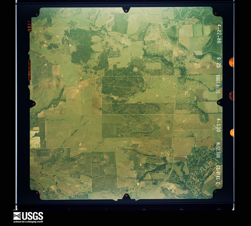
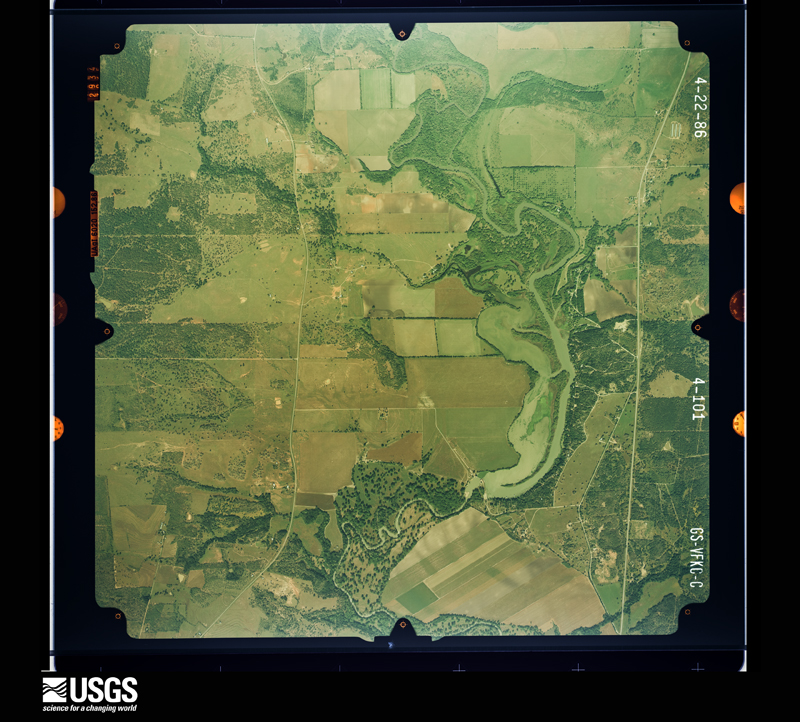
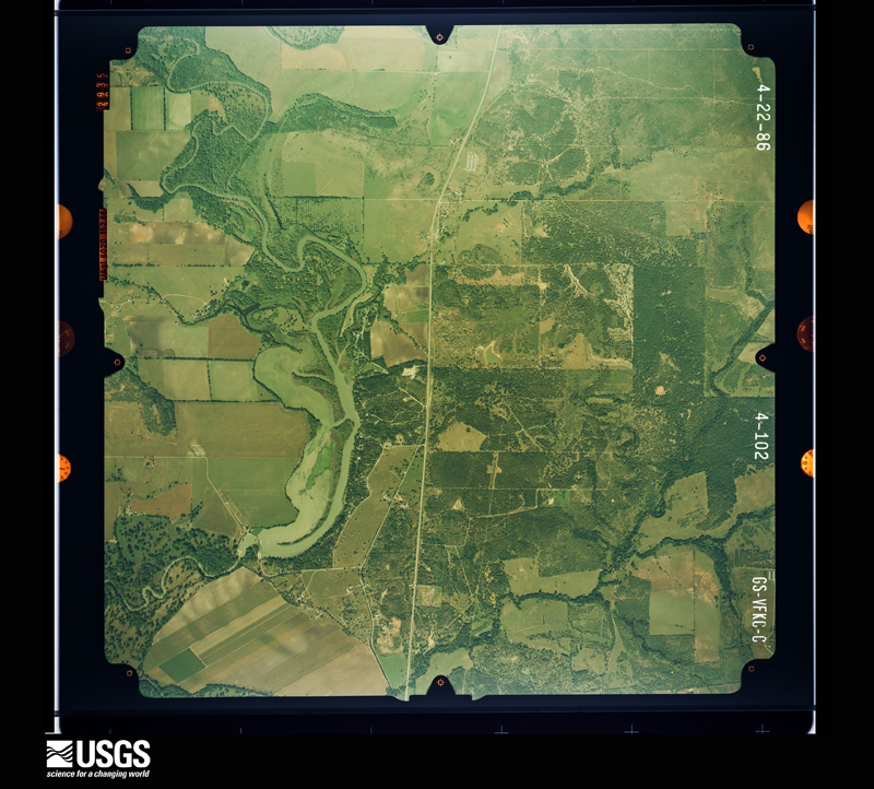
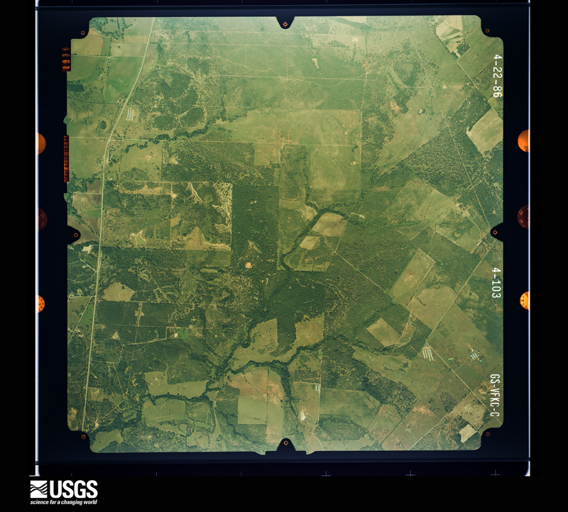
Flown by the U.S. Geological Survey between 1937 and 1989, the Aerial Photo Single Frames collection is the definitive mid-century view of the land: fields, roads and rivers as the camera saw them. The Survey holds 1,658 frames inside the rectangle that bounds this county; the 48 frames below were taken over the county itself, chosen across the decades of flights (at most four a year from that rectangle), so one flight cannot crowd out the rest. The full set is free to browse and download at EarthExplorer under the dataset Aerial Photo Single Frames.













The thermometers that kept this county's weather, and the gages that measured the flow of its streams, as the federal records hold them. The extremes below are measured values from those records, not estimates.
Who lived here in 1950, one enumeration district at a time, as the Census Bureau described each district. Each row opens its official National Archives result, with Population Schedules and ED Maps available there.
Every wildfire the federal occurrence database records inside this county: 176 of them, burning about 3,721 acres. 3 started naturally and 1 was recorded as arson. Each settlement page carries the fires within five miles of it.
| Reported cause | Fires |
|---|---|
| Debris and open burning | 79 |
| Equipment and vehicle use | 34 |
| Missing data/not specified/undetermined | 34 |
| Railroad operations and maintenance | 10 |
| Recreation and ceremony | 4 |
| Power generation/transmission/distribution | 4 |
| Natural | 3 |
| Smoking | 3 |
| Misuse of fire by a minor | 2 |
| Fireworks | 2 |
| Arson/incendiarism | 1 |
The five largest, by the area the report gives. None of them was recorded as arson.
| Date | Cause | Size | Reported by | Name on the report |
|---|---|---|---|---|
| 1 January 2008 | Debris and open burning | 350 acres | Texas A & M Forest Service | not named |
| 9 October 2005 | Debris and open burning | 283 acres | Texas A & M Forest Service | SOUTH TX - 3 |
| 8 February 2011 | Debris and open burning | 200 acres | Texas A & M Forest Service | CR 360 |
| 4 September 2000 | Missing data/not specified/undetermined | 175 acres | Texas A & M Forest Service | SOUTH BRANCH - 103 |
| 27 January 2011 | Debris and open burning | 150 acres | Texas A & M Forest Service | LAMB RANCH FIRE |
| 8 February 2011 | Equipment and vehicle use | 125 acres | Texas A & M Forest Service | STAFFORD FIRE |
| 4 August 2009 | Equipment and vehicle use | 125 acres | Texas A & M Forest Service | OTTINE |
| 8 February 2009 | Debris and open burning | 100 acres | Texas A & M Forest Service | HICKERY FORREST |
Every settlement page carries the fires within five miles of it - see the settlement index below.
The NOAA Storm Events Database holds 226 reports for this county, causing no deaths, 540 injuries and about $6,036,250 in recorded property damage. Each settlement page carries the reports that name it.
| Kind of event | Reports |
|---|---|
| Flash Flood | 91 |
| Thunderstorm Wind | 52 |
| Hail | 52 |
| Tornado | 21 |
| Funnel Cloud | 5 |
| Lightning | 3 |
| Flood | 2 |
The most serious of them, by death, then injury, then recorded damage. The accounts are quoted exactly as the forecast office filed them.
| When | Event | Place named | Harm | What the report says |
|---|---|---|---|---|
| October 1998 | Flash Flood | Countywide | 500 hurt, $500,000 | no account filed |
| October 1998 | Flash Flood | Countywide | 30 hurt, $500,000 | no account filed |
| September 1999 | Lightning | Gonzales | 6 hurt | no account filed |
| June 1962 | Tornado (F1) | not stated | 2 hurt | no account filed |
| June 1984 | Tornado (F0) | not stated | 1 hurt, $250,000 | no account filed |
| September 1967 | Tornado | not stated | 1 hurt, $250,000 | no account filed |
| May 1982 | Tornado (F1) | not stated | $2,500,000 | no account filed |
| May 1994 | Thunderstorm Wind | Gonzales | $500,000 | Damaging winds uprooted trees, snapped power lines and telephone lines, and caused widespread damage to roofs and windows. One mobile home was damaged. |
| September 2009 | Thunderstorm Wind | Waelder | $150,000 | A thunderstorm produced wind gusts estimated at 60 knots that damaged four large barns, downed several 18 inch diameter trees, and blew a metal windmill onto a tractor. |
| May 2002 | Thunderstorm Wind | Cost | $150,000 | Severe thunderstorm winds blew roofs off buildings just south of Cost. |
| April 2023 | Lightning | Sample | $100,000 | Lightning struck an oil tank battery along Hwy 87 between Smiley and Westhoff and started a fire. |
| April 2019 | Lightning | Waelder | $100,000 | Lightning started a fire at an oil tank battery damaging two tanks. |
| May 1999 | Thunderstorm Wind | Smiley | $100,000 | no account filed |
| August 2003 | Thunderstorm Wind | Gonzales | $90,000 | As the line of thunderstorms associated with the late season cold front moved southward into Gonzales County, they produced severe winds that knocked over trees and blew down power lines just north of Gonzales. The severe winds also damaged a trailer in the area. |
| April 2007 | Thunderstorm Wind | Leesville | $80,000 | The bow-shaped line along the Hays-Guadalupe-Wilson Counties accelerated as it crossed into Caldwell and Gonzales Counties near 12:30 am CST. The storms were now producing widespread wind gusts of 60 to 70 knots, with spotty higher gusts approaching 80 knots. Again, most of the damage was in the form of trees blown down, with some damages to roofs of homes. |
| August 2010 | Thunderstorm Wind | Waelder | $50,000 | Strong thunderstorm winds, estimated at 50 mph, blew down several trees, large limbs, and produced roof damage on several buildings and homes. The damage was mainly found a few blocks either side of Highway 90 and east of Highway 97 near Waelder. |
| November 2000 | Thunderstorm Wind | Gonzales | $50,000 | Severe thunderstorm winds knocked down trees and destroyed two outbuildings. |
| May 1999 | Thunderstorm Wind | Gonzales | $50,000 | no account filed |
| October 2002 | Flash Flood | Countywide | $30,000 | Heavy rain began to fall in Gonzales County in the mid-morning, with general 1 to 2 inch accumulations by late morning. Isolated totals to 3 inches were indicated. Flash flooding began just before noon and ended in the mid-afternoon. Minor damage was reported to roads and bridges. |
| April 1997 | Flash Flood | Countywide | $30,000 | Rainfall totals in southern Gonzales County of up to 4" produced flooding of low areas across most of this part of the county. |
| August 2001 | Flash Flood | Countywide | $30,000 | no account filed |
| August 2001 | Flash Flood | Countywide | $30,000 | no account filed |
| July 1996 | Thunderstorm Wind | Smiley | $30,000 | no account filed |
| October 1973 | Tornado (F2) | not stated | $25,000 | no account filed |
| May 1972 | Tornado (F1) | not stated | $25,000 | no account filed |
| March 1955 | Tornado (F1) | not stated | $25,000 | no account filed |
| August 2003 | Thunderstorm Wind | Gonzales | $20,000 | Severe thunderstorm winds knocked over several trees just north of Gonzales |
| August 2001 | Flash Flood | West Portion | $20,000 | no account filed |
| March 2000 | Thunderstorm Wind | Gonzales | $20,000 | no account filed |
| November 1998 | Flash Flood | East Portion | $20,000 | no account filed |
| October 1997 | Flash Flood | Countywide | $20,000 | no account filed |
| November 2002 | Flash Flood | Countywide | $15,000 | General 1 to 2 inch rainfall with isolated totals to near 4 inches between Gonzales and Flatonia produced flash flooding from mid afternoon through late evening. Minor damage occurred to roads. |
| June 2021 | Thunderstorm Wind | Sandy Fork | $10,000 | A thunderstorm produced wind gusts estimated at 70 mph that damaged a building and knocked down large tree limbs at 1715 CR 283 south of Sandy Fork. |
| May 2020 | Thunderstorm Wind | Saturn | $10,000 | A thunderstorm produced wind gusts estimated at 80 mph that tore the roof off a horse barn near the intersection of Alt Hwy 90 and CR 345 east of Gonzales. |
| June 2019 | Thunderstorm Wind | Nixon | $10,000 | A thunderstorm produced wind gusts estimated at 70 mph that blew down trees and power lines in Nixon. |
| May 2019 | Thunderstorm Wind | Gonzales | $10,000 | A thunderstorm produced wind gusts estimated at 65 mph that knocked down power lines in Gonzales. |
| May 2015 | Flash Flood | Nixon | $10,000 | Water was reported over the roadway at Interstate 10 and the Gonzales and Fayette county line. A report of a semi-truck sliding off a roadway due to high water, and a high water rescue in the city of Gonzales were received but no additional details given. |
| December 2002 | Flash Flood | North Portion | $10,000 | The northern half of Gonzales County received a general 1 to 2 inch rainfall between 2 am and 4 am CST, with totals of nearly 4 inches between Belmont and Thompsonville. Soils had remained saturated from recent rainfall, allowing brief flash flooding to develop in the northern half of the county. |
| March 2000 | Thunderstorm Wind | Smiley | $10,000 | Additional trees were reported to have been blown down in southwest Gonzales County. |
| July 1998 | Tornado (F1) | Gonzales | $10,000 | A small and short-lived tornado struck just east of Gonzales, destroying one mobile home while also damaging 5 homes and wrapping tin roofs around poles. The tornado was preceded by severe winds that also damaged sheds and the roofs of outbuildings, as well as by large hail. |
| February 1998 | Thunderstorm Wind | Cheapside | $10,000 | Trees were reported to have been blown down by severe thunderstorm winds. |
| June 1997 | Thunderstorm Wind | Gonzales | $10,000 | Trees were blown down in the Gonzales area. |
| May 1997 | Flash Flood | Countywide | $10,000 | Numerous roads were closed over Gonzales County due to heavy rain. |
| November 2000 | Flash Flood | Countywide | $10,000 | no account filed |
| August 1998 | Flash Flood | Countywide | $10,000 | no account filed |
| August 1998 | Flash Flood | Countywide | $10,000 | no account filed |
| July 1998 | Thunderstorm Wind | Gonzales | $10,000 | no account filed |
| September 1996 | Flash Flood | South Portion | $10,000 | no account filed |
| January 2024 | Thunderstorm Wind | Gonzales | $5,000 | A thunderstorm produced wind gusts estimated at 70 mph that knocked down a traffic light at the intersection of St. Joseph St. and St. Lawrence St. in Gonzales. |
| January 2024 | Hail | Gonzales Muni Arpt | $5,000 | A thunderstorm produced hail up to the size of tennis balls that dented a car in Gonzales. The average hail stones were golf ball size. |
| January 2024 | Thunderstorm Wind | Gonzales Muni Arpt | $5,000 | A thunderstorm produced wind gusts estimated at 70 mph that downed a power line on St. Joseph St. in Gonzales. |
| May 2024 | Thunderstorm Wind | Smiley | $5,000 | A thunderstorm produced wind gusts estimated at 60 mph that knocked down multiple large tree limbs in Smiley. |
| May 2024 | Thunderstorm Wind | Gonzales | $5,000 | A thunderstorm produced wind gusts estimated at 75 mph that snapped a tree trunk in Gonzales. |
| June 2019 | Thunderstorm Wind | Cost | $5,000 | A thunderstorm produced wind gusts estimated at 70 mph that blew down trees and power lines in Cost. |
| June 2010 | Hail | Gonzales | $5,000 | A thunderstorm produced hail up to two inches in diameter which damaged several cars. |
| July 2008 | Thunderstorm Wind | Ottine | $5,000 | A six to seven foot long piece of sheet metal was torn from a business' car canopy. |
| January 2004 | Flash Flood | Countywide | $5,000 | General 1 to 2 inch totals fell across Gonzales County. Isolated amounts to 3 inches were reported in the eastern part of the county. Peach Creek was in flood and was reported over FM795. |
| February 2003 | Flash Flood | Countywide | $5,000 | General 1 to 2 inch rainfall, with isolated totals to 3 inches, combined with soils that were already saturated, resulted in brief flash flooding from the late afternoon into the early evening. |
| June 2003 | Flash Flood | North Portion | $5,000 | A line of showers and thunderstorms that had swept across the Hill Country through the late afternoon period moved into Gonzales County in the evening. General rainfall over Gonzales County was between 1 and 2 inches, with accumulations of up to 4 inches along and north of IH-10. The Gonzales County Sheriff's Department reported flash flooding during the late evening hours. |
| November 2000 | Tornado (F0) | Cheapside | $5,000 | A small and short-lived tornado touched down briefly in the Cheapside community. It damage about a dozen trees but caused no other damage. |
The Survey's mineral resources record lists 13 workings inside this county. 11 still produce and 2 are closed or unrecorded. Each settlement page carries the workings within five miles of it.
| Commodity | Workings |
|---|---|
| Bentonite | 6 |
| Uranium | 5 |
| Clay | 2 |
| Sand and Gravel, Construction | 1 |
The least common of them first, because a county's hundredth gravel pit says nothing its first ten did not.
| Where | Site | Commodity | Status | Recorded |
|---|---|---|---|---|
| Unnamed Pit | Sand and Gravel, Construction | Producer | Sand | |
| Moesker Pit | Bentonite, Clay | Producer | Sedimentary | |
| Unnamed Pit | Clay | Past Producer | Clay | |
| Conoco Conquista Friar-Knandel Pit | Uranium | Producer | ||
| Conoco Conquista Griffin Pit | Uranium | Producer | ||
| Conoco Conquista Smith Pit | Uranium | Producer | ||
| Griffin Mine | Uranium | Past Producer | Stratabound | |
| Thomas Uranium Pit | Uranium | Producer | ||
| Helms Pit | Bentonite | Producer | Sedimentary | |
| Helms Pit | Bentonite | Producer | ||
| Kennard Pit | Bentonite | Producer | Sedimentary | |
| Knorr Pit | Bentonite | Producer | Sedimentary | |
| Southern Clay Pits and Plant | Bentonite | Producer |
Named settlements recorded in the Geographic Names Information System, each with the topographic sheets covering it. Villages, hamlets and abandoned places alike. Each is shown with the nearest named watercourse or landform and the survey quadrangle it falls on.
Nixon census division · 78614 · On Liberty Creek · Leesville quadrangle
10 sheets, 1920 to 1985
Harwood-Ottine census division · 78629 · On Burroughs Creek · Belmont quadrangle
16 sheets, 1911 to 1985
Gonzales census division · 78629 · Near Pettit Prairie Flats · Dilworth quadrangle
11 sheets, 1901 to 1985
Gonzales census division · 78629 · On Liveoak Branch · Dilworth quadrangle
11 sheets, 1901 to 1985
Gonzales census division · 77984 · On Boggy Creek · Hochheim quadrangle
10 sheets, 1953 to 1985
Gonzales census division · 77984 · On Kokernot Branch · Hamon quadrangle
9 sheets, 1953 to 1985
Gonzales census division · 78629 · On San Marcos River · Gonzales North quadrangle
12 sheets, 1901 to 1985
Cost-Wrightsboro census division · 78629 · On Freeman Creek · Hamon quadrangle
9 sheets, 1953 to 1985
Cost-Wrightsboro census division · 78629 · On Freeman Creek · Hamon quadrangle
9 sheets, 1953 to 1985
Waelder census division · 78959 · On Thompson Branch · Dilworth quadrangle
11 sheets, 1901 to 1985
Nixon census division · 78122 · On Talley Branch · Leesville quadrangle
10 sheets, 1920 to 1985
Gonzales census division · 78629 · On Vanham Creek · Dilworth quadrangle
11 sheets, 1901 to 1985
Nixon census division · 78629 · Near Watson Hill · Cost quadrangle
11 sheets, 1920 to 1985
Waelder census division · 78941 · On Big Fivemile Creek · Flatonia NW quadrangle
11 sheets, 1901 to 1985
Harwood-Ottine census division · 78629 · On Clemens Creek · Cost quadrangle
11 sheets, 1920 to 1985
Harwood-Ottine census division · 78629 · On Mule Creek · Ottine quadrangle
14 sheets, 1911 to 1985
Waelder census division · 78632 · On Reed Creek · Sandy Fork quadrangle
11 sheets, 1901 to 1985
Harwood-Ottine census division · 78629 · On Canoe Creek · Ottine quadrangle
14 sheets, 1911 to 1985
Smiley census division · 78159 · On Little Elm Creek · Smiley quadrangle
10 sheets, 1920 to 1985
Harwood-Ottine census division · 78629 · On Clemens Creek · Ottine quadrangle
14 sheets, 1911 to 1985
Cost-Wrightsboro census division · 78629 · Gonzales South quadrangle
10 sheets, 1953 to 1985
Waelder census division · 78632 · Near Chalk Hollow · Sandy Fork quadrangle
11 sheets, 1901 to 1985
Cost-Wrightsboro census division · 78677 · On Cottonwood Creek · Pilgrim quadrangle
10 sheets, 1920 to 1985