 Block
BlockFrom the record
8 National Register listings published here.
Sources: the National Register database, National Park Service
23 topographic sheets cover 15 settlements here, and 8 properties are on the National Register of Historic Places.
8 National Register listings published here.
Sources: the National Register database, National Park Service
Every property in this county listed on the National Register of Historic Places, with the year it was listed and the federal nomination document.
| Photograph | Property | Type | Listed | Reference |
|---|---|---|---|---|
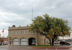 | Central Fire Station | building | 1999 | 99001623 |
 | Combs-Worley Building | building | 1999 | 99001625 |
 | Gray County Courthouse | building | 1998 | 98000142 |
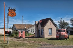 | McLean Commercial Historic District | building | 2006 | 06001153 |
 | Pampa City Hall | building | 1999 | 99001622 |
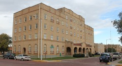 | Schneider Hotel | building | 1985 | 85003215 |
 | US Post Office-Pampa Main | building | 1986 | 86003236 |
 | White Deer Land Company Building | building | 2000 | 99001701 |
Drawn when these were printed as single large sheets: the town seen from the air, and the county divided into its farms with every owner named. Each opens the original at the Library of Congress.
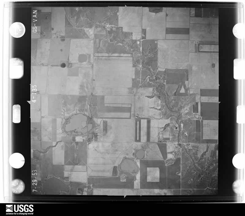
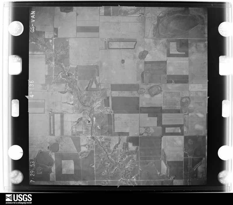
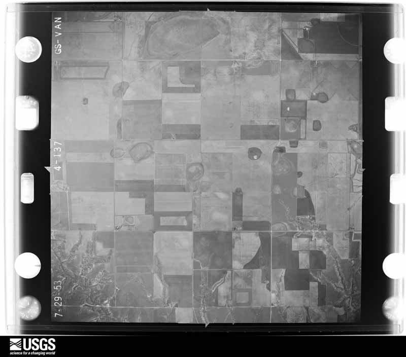
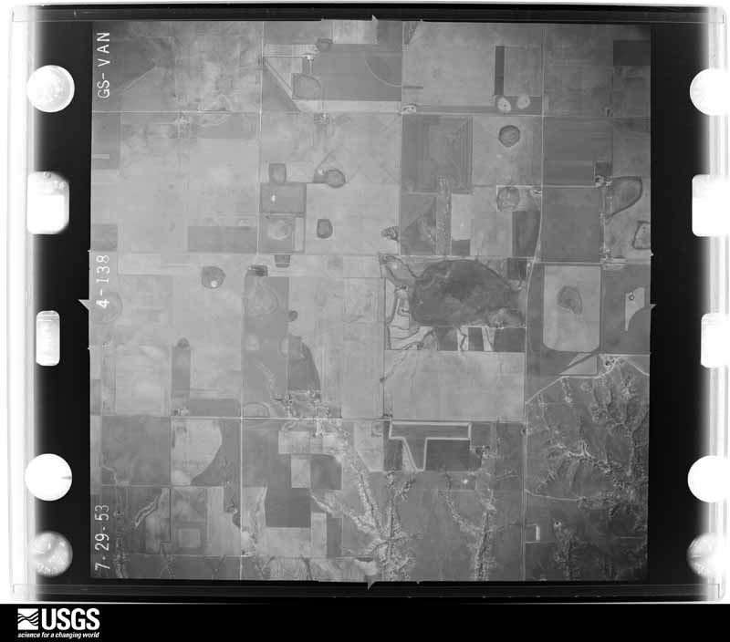
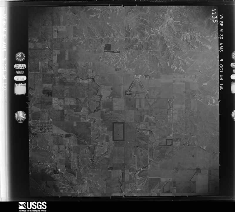
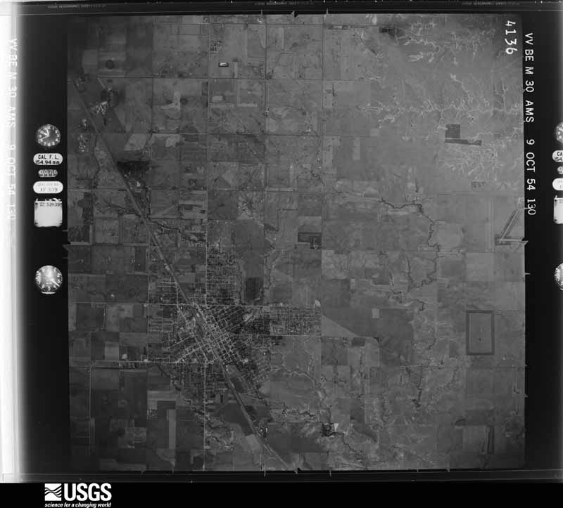
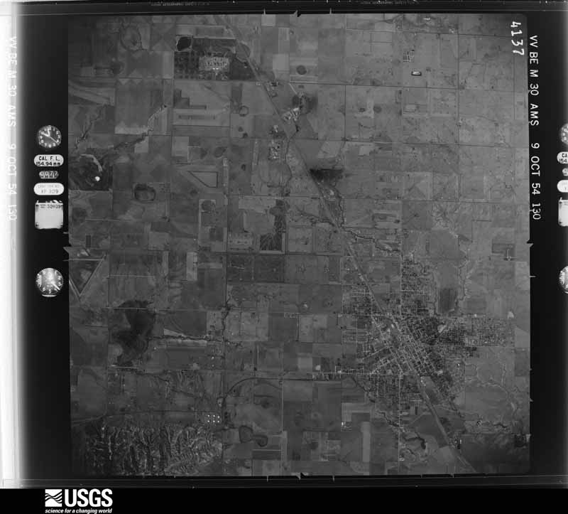
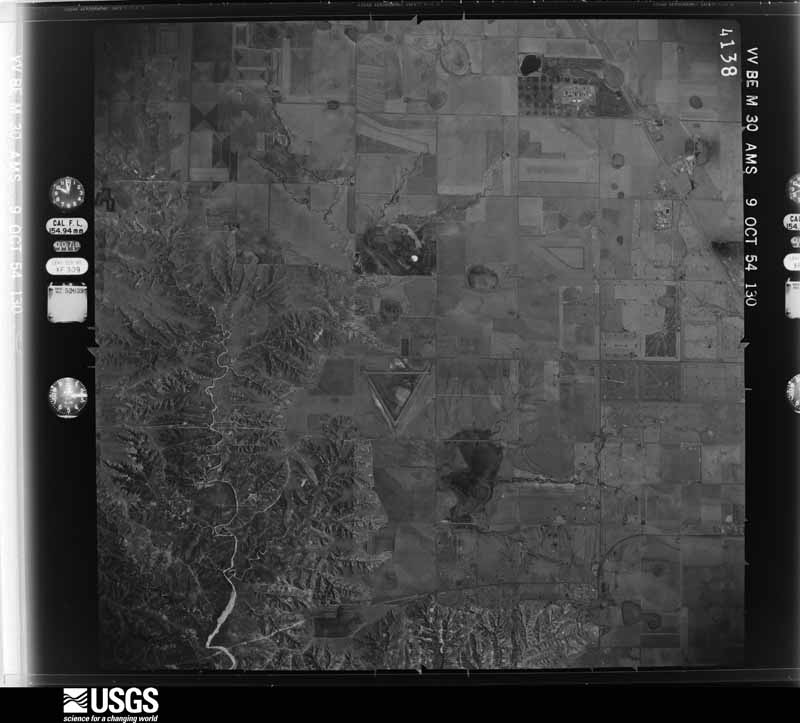
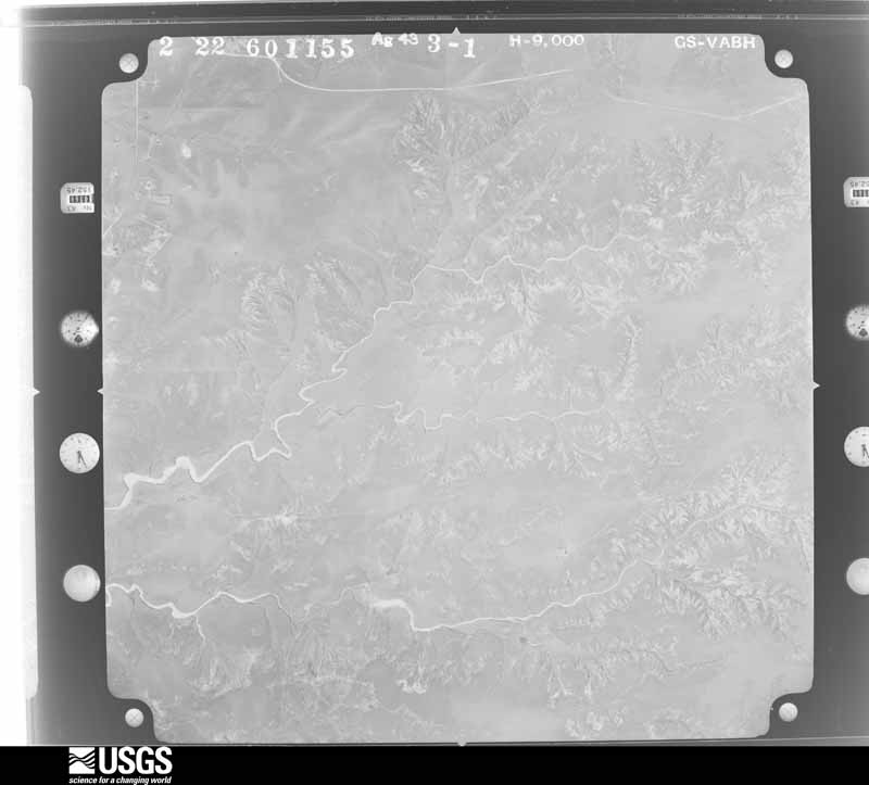
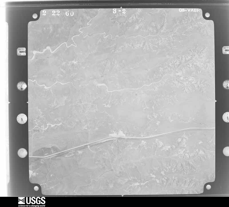
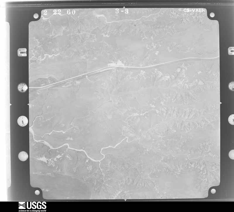
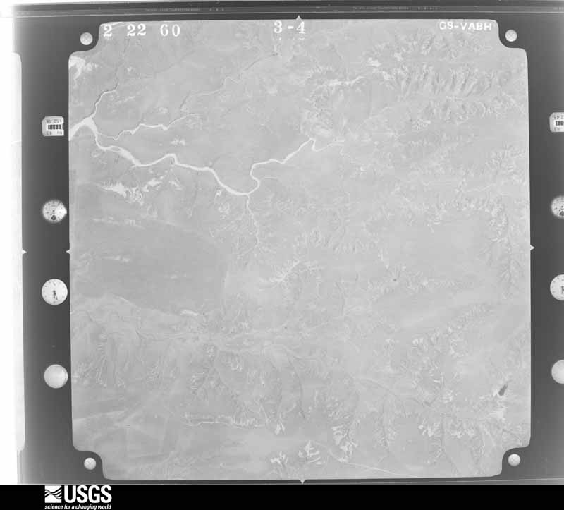
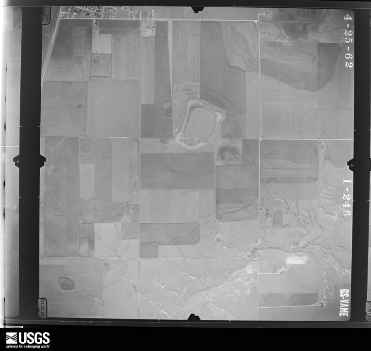
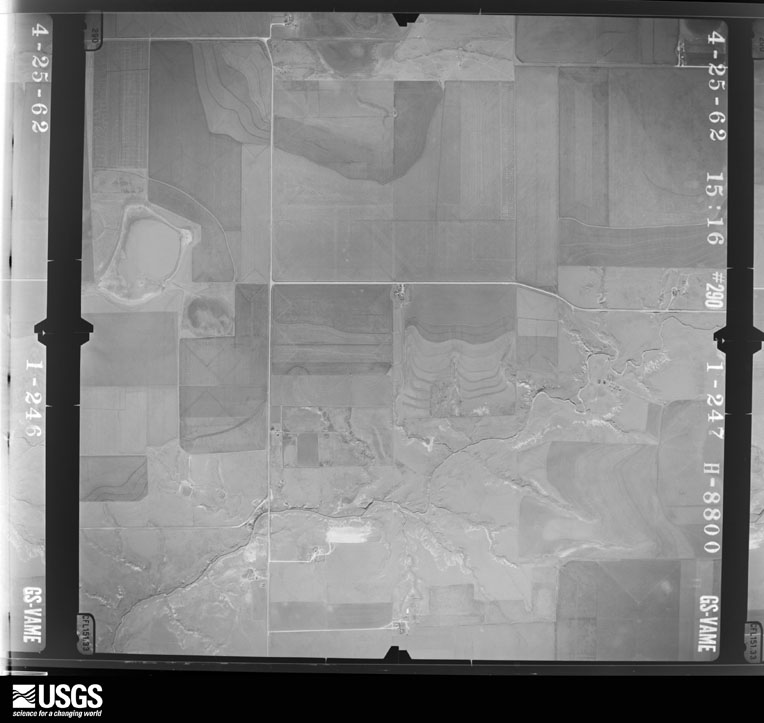
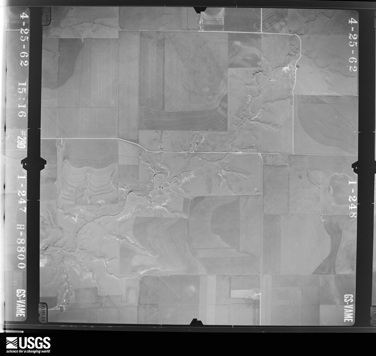
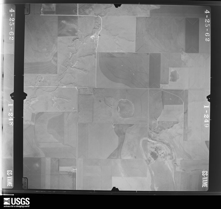
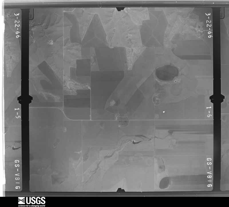
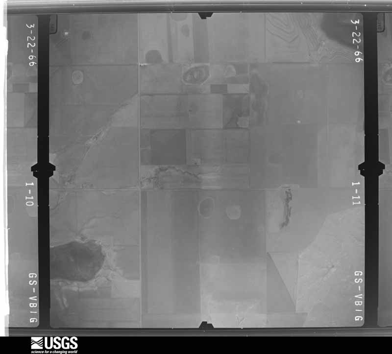
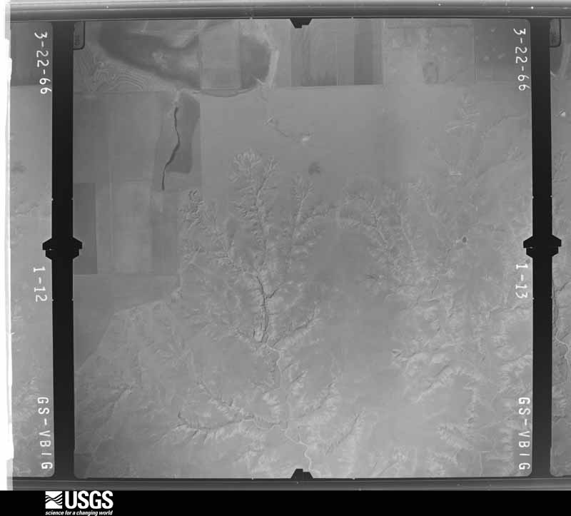
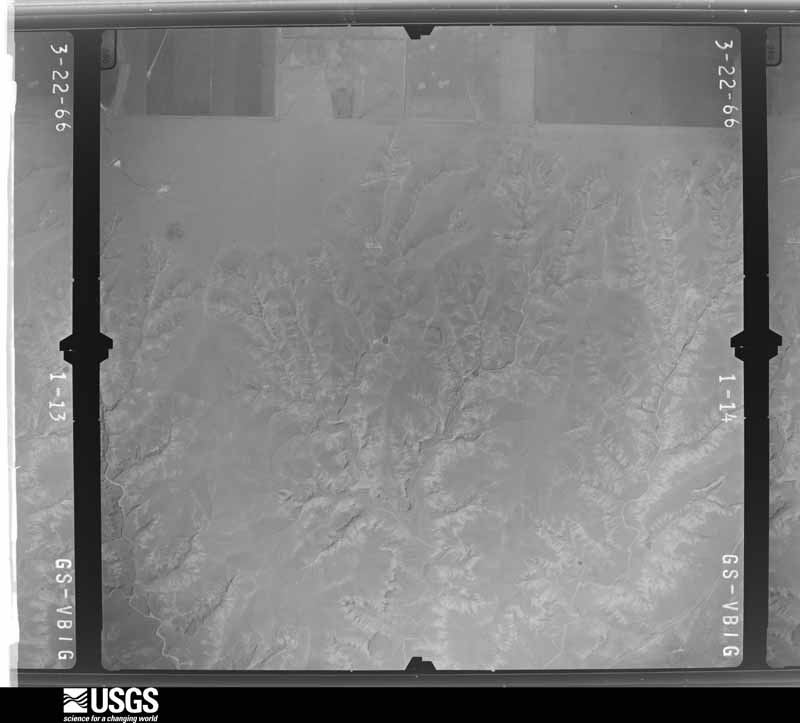
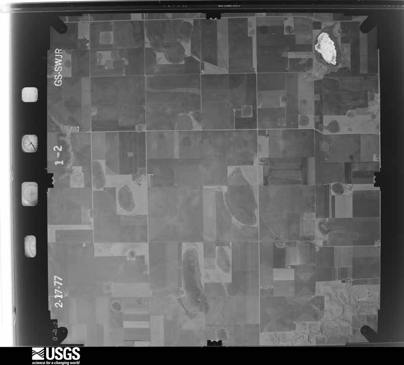
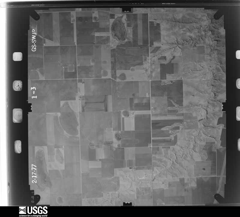
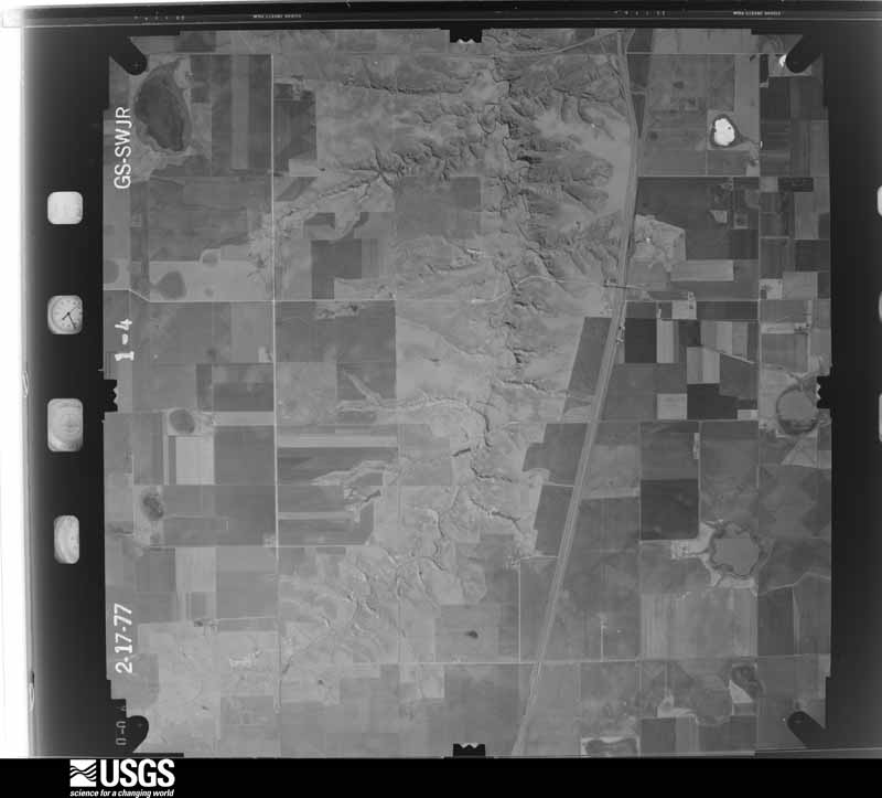
Flown by the U.S. Geological Survey between 1937 and 1989, the Aerial Photo Single Frames collection is the definitive mid-century view of the land: fields, roads and rivers as the camera saw them. The Survey holds 920 frames inside the rectangle that bounds this county; the 27 frames below were taken over the county itself, chosen across the decades of flights (at most four a year from that rectangle), so one flight cannot crowd out the rest. The full set is free to browse and download at EarthExplorer under the dataset Aerial Photo Single Frames.
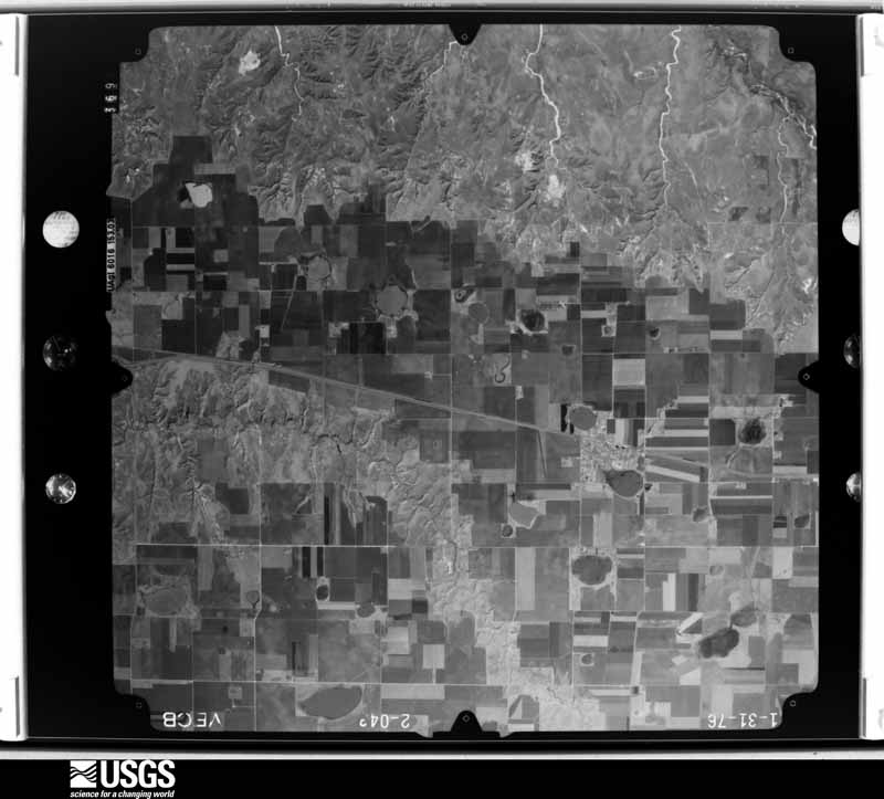
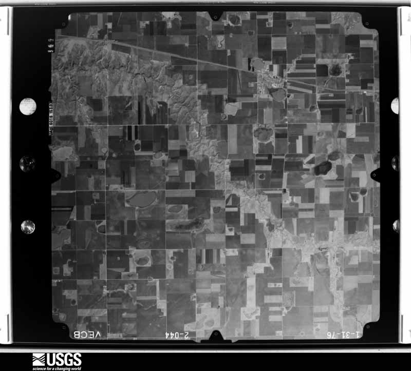
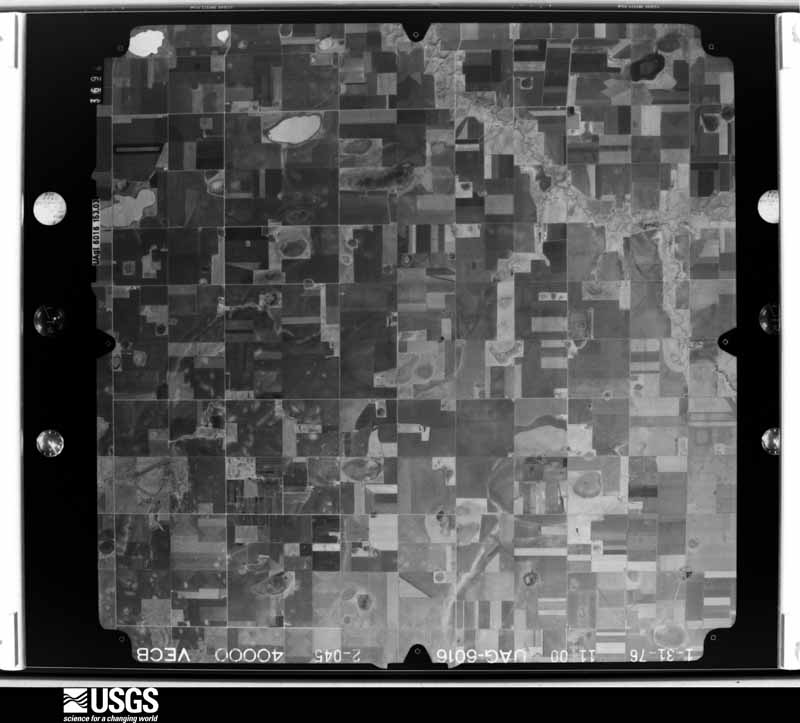
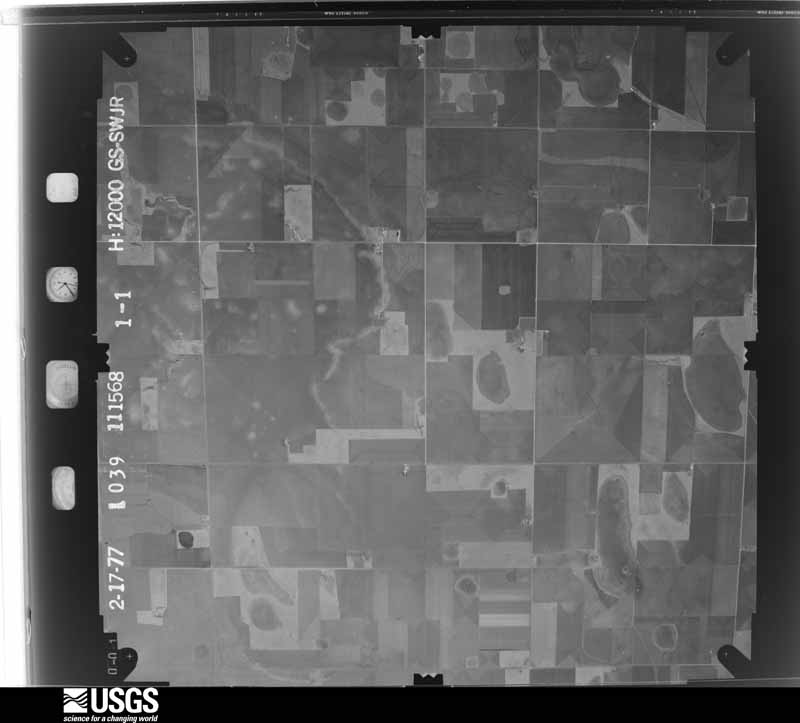
The thermometers that kept this county's weather, and the gages that measured the flow of its streams, as the federal records hold them. The extremes below are measured values from those records, not estimates.
Who lived here in 1950, one enumeration district at a time, as the Census Bureau described each district. Each row opens its official National Archives result, with Population Schedules and ED Maps available there.
Every wildfire the federal occurrence database records inside this county: 193 of them, burning about 617,114 acres. 14 started naturally and 3 were recorded as arson. Each settlement page carries the fires within five miles of it.
| Reported cause | Fires |
|---|---|
| Missing data/not specified/undetermined | 87 |
| Equipment and vehicle use | 31 |
| Power generation/transmission/distribution | 31 |
| Debris and open burning | 15 |
| Natural | 14 |
| Smoking | 7 |
| Recreation and ceremony | 3 |
| Arson/incendiarism | 3 |
| Misuse of fire by a minor | 2 |
The five largest, by the area the report gives. None of them was recorded as arson.
| Date | Cause | Size | Reported by | Name on the report |
|---|---|---|---|---|
| 12 March 2006 | Missing data/not specified/undetermined | 427,696 acres | Cibola National Forest | I-40 |
| 7 March 2017 | Missing data/not specified/undetermined | 135,000 acres | Texas A & M Forest Service | LEFORS EAST |
| 17 April 2018 | Equipment and vehicle use | 23,143 acres | Texas A & M Forest Service | MCCLELLAN |
| 23 March 2018 | Power generation/transmission/distribution | 7,334 acres | Texas A & M Forest Service | THUT CREEK |
| 6 April 2006 | Missing data/not specified/undetermined | 5,000 acres | Texas A & M Forest Service | BOWERS CITY |
| 28 January 2008 | Missing data/not specified/undetermined | 4,500 acres | Lake Meredith National Recreation Area | BOWERS RANCH |
| 11 November 2005 | Equipment and vehicle use | 2,000 acres | Texas A & M Forest Service | 200620 |
| 14 April 2006 | Missing data/not specified/undetermined | 1,500 acres | Texas A & M Forest Service | not named |
Every settlement page carries the fires within five miles of it - see the settlement index below.
The NOAA Storm Events Database holds 847 reports for this county, causing 3 deaths, 74 injuries and about $45,220,400 in recorded property damage. Each settlement page carries the reports that name it.
| Kind of event | Reports |
|---|---|
| Hail | 492 |
| Thunderstorm Wind | 245 |
| Tornado | 87 |
| Flash Flood | 14 |
| Heavy Rain | 3 |
| Flood | 3 |
| Funnel Cloud | 2 |
| Lightning | 1 |
The most serious of them, by death, then injury, then recorded damage. The accounts are quoted exactly as the forecast office filed them.
| When | Event | Place named | Harm | What the report says |
|---|---|---|---|---|
| March 1975 | Tornado (F3) | not stated | 2 killed, 42 hurt | no account filed |
| June 2000 | Lightning | Pampa | 1 killed | A young child was killed by lightning outside a residence as he stood near a tree to take shelter from the thunderstorms. |
| July 1987 | Tornado (F2) | not stated | 10 hurt, $2,500,000 | no account filed |
| April 1970 | Tornado (F4) | not stated | 10 hurt, $2,500,000 | no account filed |
| June 1995 | Tornado (F4) | not stated | 7 hurt, $30,000,000 | no account filed |
| March 2007 | Tornado (EF3) | Lefors | 2 hurt, $100,000 | The tornado formed three miles south southwest of Jericho in northwest Donley county at 1839 CST and entered Gray county about one and a half miles west northwest of Jericho at 1848 CST. The tornado then continued moving north northwest for another three miles before dissipating just south of Farm to Market Road 2477 and just east of State Highway 70 four miles northwest of Jericho or about eleven miles southwest of Lefors at 1854 CST.|As highlighted in the Donley County portion of this tornado track...the most significant damage from this tornado occurred to three semi trucks that were caught and badly damaged in the tornado on Interstate 40 on the Donley County and Gray County line. In this area...power poles were snapped near their bases. The cab of one of the semi trucks was reportedly lifted and deposited atop its trailer. The driver and his wife were sucked out of the cab. The driver was completely disrobed some distance away from the truck. His clothing was found tangled in the engine of the truck. The driver and his wife were reported to be in critical and serious condition...respectively. Additionally the cab was crushed to the steering column. The trailer roof appeared to have been pried up and twisted...and at least one of the side walls failed. The contents of the truck were scattered downstream into a field for nearly a mile. In this field...irrigation pivots were overturned. The property owner also reported that irrigation pivot tires weighing three hundred pounds were relocated and a fifteen hundred gallon fertilizer tank that was one quarter full was gone.|Light damage was observed along Vernon Road just east of State Highway 70 and just south of Farm to Market Road 2477 in southwest Gray county...where metal roofing damage was observed to barns...stables...and sheds. A large quantity of metal roofing panels was also found south of these buildings...with several twisted around fence posts and trees. The tornado dissipated just north of this area. |
| May 1998 | Thunderstorm Wind | Mc Lean | 1 hurt, $575,000 | no account filed |
| May 2009 | Tornado (EF2) | Pampa | 1 hurt, $50,000 | An official National Weather Service storm damage survey team determined that a multiple vortex tornado touched down four miles east northeast of Pampa at 1609 CST. This tornado then moved southeast to five miles east southeast of Pampa where it lifted at 1617 CST. At least one home sustained significant damage from the tornado. In addition...at least four other homes sustained significant damage from downburst winds in close proximity to the tornado...one to three miles east of Pampa along and near U.S. Highway 60. Several other structures and vehicles were also damaged...including a semi truck and a motor home. One injury occurred to the semi truck driver. Trees and power poles also sustained considerable damage. |
| March 2012 | Thunderstorm Wind | Mc Lean | 1 hurt, $20,000 | Local law enforcement officials reported that power poles were snapped along Interstate 40. There was also an empty tractor trailer truck traveling along Interstate 40 that was flipped over by the thunderstorm wind gusts. The driver of the tractor trailer truck was injured. |
| May 1982 | Tornado (F3) | not stated | $2,500,000 | no account filed |
| April 1970 | Tornado (F4) | not stated | $2,500,000 | no account filed |
| October 1993 | Tornado (F1) | Laketon | $500,000 | The tornado destroyed a carport and snapped four power poles. It was reported by the public through a local TV Meteorologist. The tornado moved over open pasture and dissipated with no further damage. |
| June 2004 | Hail | Pampa | $350,000 | Several homes had damage to roofs and cars had windows broken. |
| June 1995 | Hail | Laketon | $300,000 | no account filed |
| February 2012 | Tornado (EF1) | Laketon | $250,000 | This is the first segment of a tornado which formed ten miles south southwest of Miami just north of Texas State Highway 152 and traveled northeastward for about eight miles before exiting Gray county about five and a half miles north northeast of Laketon at 0055CST. While in Gray county, the tornado was rated an EF1. The tornado had a maximum width of one hundred yards. At he beginning of the tornado track in Gray county, there was a horse barn damaged as well as a center pivot irrigation system overturned. Then two miles from about where the tornado touched down to the northeast, also in Gray county, two single power poles were snapped at the base. There were no reports of injuries or fatalities. |
| May 1982 | Tornado (F3) | not stated | $250,000 | no account filed |
| May 1982 | Tornado (F2) | not stated | $250,000 | no account filed |
| May 1982 | Tornado (F2) | not stated | $250,000 | no account filed |
| June 1995 | Tornado (F4) | McLean | $200,000 | no account filed |
| May 1995 | Hail | Pampa | $200,000 | no account filed |
| March 2012 | Thunderstorm Wind | Pampa | $130,000 | An official National Weather Service storm survey revealed that a narrow area of damaging thunderstorm wind gusts moved through Pampa, Texas between Banks Street and West Brown Street. The path of damage was twenty-five yards wide and five hundred yards long. The winds picked up and destroyed a ten by ten aluminum shed which caused debris for four hundred yards. An abandoned wood frame house on Banks Street had its side wall collapse. There were three containers that were overturned by the winds. Also, a park sign in a municipal park was damaged and a business on West Brown Street had the front wall of the establishment blown onto West Brown Street. There was also damage to a power pole. There were no reports of injuries or fatalities. |
| June 2021 | Tornado (EF1) | Alanreed | $100,000 | The tornado touched down in an open field initially. It destroyed a barn and snapped tree limbs along its path as it moved east-southeast across ranchland. A small RV camper that was in the barn was rolled onto its side and was a total loss as well. |
| June 1995 | Tornado (F2) | not stated | $100,000 | Tornadoes in Gray County began with a brief touchdown that redeveloped into a strong tornado which moved into the center of Pampa. About 50 homes and 25 businesses were destroyed with another 150 homes and 25 businesses damaged. Seven people were hospitalized. Early warnings and good visibility seem to account for the low injury and no death totals. The tornado dissipated at the center of town with a visibly larger tornado developing just to the northeast of Pampa. Because of the open land a higher F-scale classification could not be justified. The F4 in Pampa was surveyed, while the other two paths are an estimate. Additional information from spotters added another brief tornado about 2 miles east of Pampa. |
| June 1995 | Tornado (F2) | McLean | $100,000 | no account filed |
| August 2020 | Tornado (EF1) | Laketon | $90,000 | The tornado did minor damage around a residence which included,|very minor damage to the home roof cap, a rolled and displaced air|conditioner unit, and a destroyed free standing antenna tower. A|heavy duty metal storage box with a stored car inside was also|rolled onto some farming equipment. The tornado stripped|significant amounts of sheet metal off two barns and caused one|wall to collapse. The EF1 rating was due to four 10 inch power|poles which were snapped where the tornado crossed a nearby |county road. Debris from objects around the home and sheet metal |from the barns were carried 100-200 yards down the path. |
| July 2001 | Thunderstorm Wind | Pampa | $90,000 | Nine utility poles were reported blown down by the high winds. A trailer was totaled and blown about forty to fifty feet from where it had been parked. Several roofs were also damaged by the high winds. |
| March 2007 | Tornado (EF2) | Mc Lean | $74,000 | Major damage associated with this tornado included a Texas Department of Transportation meteorological tower which was bent at a ninety degree angle to the ground one mile southeast of McLean. Approximately five hundred yards to the north northeast of this tower...a metal veterinary clinic had a Texas Department of Transportation Highway sign impact the building and penetrate the metal siding and also lost part of the tin from the roof. One hundred yards to the north and slightly west of the veterinary clinic was a house that suffered extensive roof damage. A small section of the roof was destroyed...indications throughout the house show that the entire roof structure attempted to be lifted from the walls. The West Texas Mesonet station one mile east of McLean at 1935 CST measured a wind gust of one hundred and ten knots. A large barn was also destroyed along with some tree damage occurred just northeast of McLean during the final stages of the tornado.|Minor damage was encountered along County Road Y...where metal roofing was lost from a large metal shed. Metal lawn and porch furniture was mangled and relocated...a large satellite dish suffered minor damage to its mesh lining...and a few large branches were snapped from nearby trees. An empty fertilizer bin disappeared. The tornado dissipated north of County Road Y. No injuries were reported. |
| August 2003 | Thunderstorm Wind | Alanreed | $70,000 | Two tractor trailer rigs and one fifth wheeler were reported to have rolled onto their sides. |
| June 2006 | Thunderstorm Wind | Pampa | $54,000 | no account filed |
| June 2006 | Thunderstorm Wind | Mc Lean | $53,000 | Report of two tractor trailers jacknifed. |
| April 2007 | Tornado (EF1) | Alanreed | $52,000 | This tornado formed in extreme southwest Gray county about one mile north of Interstate 40 and one half mile east of the Carson county line at 2050 CST. The tornado moved north northeast and caused considerable damage to a homestead where a home lost part of its roof. A couple rode out the storm inside the home but were not injured. Several storage and outbuildings were destroyed. Several power poles were snapped and downed along its path. No injuries were reported. |
| May 1996 | Hail | Laketon | $50,000 | no account filed |
| June 1995 | Hail | McLean | $50,000 | no account filed |
| December 1993 | Thunderstorm Wind | Pampa | $50,000 | no account filed |
| August 2005 | Thunderstorm Wind | Mc Lean | $48,000 | The wind gust was measured at the Texas MesoNet station near McLean. The high winds twisted up a barn and the roof tin was blown into a neighboring yard...large tree limbs broken and some trees blown over...a couple of guard lights ripped up...a press box was blown into the stands at a football field...and three tractor-trailers were blown over on Interstate 40 near McLean. |
| May 2007 | Tornado (EF0) | Pampa | $47,000 | The tornado developed about five miles southwest of Pampa at 2240 CST and tracked northeast for about two miles before dissipating at 2246 CST three miles southwest of Pampa. An off-duty National Weather Service employee...who was chasing in the area...saw a power flash about 2241 CST. Although no injuries were reported...damage occurred at the National Oilwell Varco Plant to three buildings which also had windows blown out and several oil rigs were blown around. |
| October 2002 | Thunderstorm Wind | Pampa | $45,000 | Damaging winds tossed a mobile home that was not tied down. |
| May 2009 | Tornado (EF1) | Lefors | $40,000 | An official National Weather Service storm damage survey team determined that a multiple vortex tornado touched down two miles northwest of Lefors at 1625 CST which then moved southeast through Lefors before lifting four miles southeast of Lefors at 1645 CST. Several homes and other structures received minor to moderate damage in Lefors due to the tornado and downburst winds throughout the town. No injuries were reported. |
| March 2007 | Tornado (EF1) | Lefors | $39,000 | Another brief tornado occurred along the northeast outskirts of Lefors. The most significant damage was to detached garages. One garage was completely destroyed...with debris from this building found in nearby trees. A travel trailer parked next to the garage was moved forty yards and destroyed. Large tree branches were snapped. |A second well constructed garage with steel roofing beams suffered damage. Roof paneling was peeled southward. At the north side of the garage was an interior room which suffered damage as the ground level wall mounted air conditioner was pulled inward into the room as the garage door failed and blew outward. Power poles were snapped at six foot level along with considerable fence damage. The north facing porch structure was damaged. A large antique car was moved approximately fifteen yards...and rotated cyclonically from its original position. Two large tanks...each weighing two thousand pounds...were moved seventy-five yards. No injuries were reported. |
| March 2007 | Tornado (EF1) | Mc Lean | $38,000 | Tornadic damage was indicated on the south and east sides of McLean and centered on South Farm to Market Road 3143. A barn...outbuilding...and farm equipment were damaged in the tornado. No injuries were reported. |
| May 2009 | Thunderstorm Wind | Mc Lean | $35,000 | An off-duty National Weather Service employee reported that eighteen wheelers were blown over by thunderstorm winds just west of McLean on Interstate 40 at the one hundred and thirty-six mile marker. |
| April 2008 | Thunderstorm Wind | Mc Lean | $34,000 | Part of a tar roof was blown off of the First Baptist Church. Power lines were knocked down on the west side of McLean. No injuries were reported. |
| August 2012 | Thunderstorm Wind | Pampa | $30,000 | The thunderstorm wind gusts shifted small outbuildings off of their foundations, overturned one camping trailer and caused another camping trailer to be moved, and also caused fencing to be moved across a roadway. There were no reports of injuries or fatalities. |
| July 1996 | Thunderstorm Wind | Pampa | $30,000 | no account filed |
| March 2007 | Tornado (EF3) | Mc Lean | $27,000 | This tornado developed from the same storm that moved just east of McLean. The initial circulation developed eight miles north northeast of McLean at 1945 CST and was initially moving northeast at forty miles per hour. As it crossed Farm to Market Road 2473 at the McClellan Creek bridge...high-tension power lines supported by double wooden pole structures were broken or snapped at the ground at several locations. Numerous hard and softwood trees were debarked with only stubs remaining. At 1949 CST...the tornado moved more northwesterly and accelerated to forty-five miles per hour. A local rancher...who lives seven miles northwest of Kellerville heard the tornado approaching and took shelter. Damage to his property included a covered porch that was completely blown off and steel roofing was peeled back on the the southward facing side. A brick chimney also collapsed. Several trees...as much as two hundred feet from the west edge of the house...were blown down. A bunkhouse on the property lost of the roof. An anchored large steel feed bunk was pulled out of the ground. No injuries were reported. |
| April 2012 | Thunderstorm Wind | Pampa | $25,000 | The Gray County Emergency Manager reported thunderstorm wind damage to a roof of a residence, a power line, and a fence in the city of Pampa, Texas. There were no injuries or fatalities. |
| October 2012 | Hail | Pampa | $25,000 | The Pampa Emergency Manager reported hail up to quarter size at the Pampa High School football game. Minor vehicle damage was reported at the stadium, and no injuries were reported. |
| August 2011 | Thunderstorm Wind | Pampa | $25,000 | The Gray County Emergency Managers Office reported that the northeast corner of an abandoned grocery store had the roof peeled back due to the thunderstorm wind gusts. Also, there was damage to a brick building and several trees were blown down on the south side of Pampa Texas. The south half of the city of Pampa lost power due to downed power lines. There were no reports of injuries or fatalities. |
| July 1998 | Thunderstorm Wind | Pampa | $25,000 | no account filed |
| June 1983 | Tornado (F0) | not stated | $25,000 | no account filed |
| May 1982 | Tornado (F3) | not stated | $25,000 | no account filed |
| March 1975 | Tornado (F1) | not stated | $25,000 | no account filed |
| March 2007 | Thunderstorm Wind | Mc Lean | $22,000 | Damage was reported on the east side of McLean with three foot diameter tree uprooted...a horse trailer flipped over...power lines down...and roof damage to buildings. No injuries were reported. |
| May 2009 | Hail | Pampa Lefors Arpt | $20,000 | The Gray County Emergency Manager's Office reported baseball to grapefruit size hail which damaged numerous homes near the Pampa Municipal Golf Course. The wind driven hail shattered most north facing windows of several homes. |
| April 2000 | Thunderstorm Wind | Pampa | $20,000 | Damage was reported to the roof's of homes and also to a local business. |
| May 2013 | Thunderstorm Wind | Alanreed | $15,000 | An intensifying thunderstorm produced a 65 mph gusts over the Interstate 40 and State Highway 70 intersection. The Gray County Emergency Manager reported that the gust produced a cross wind on State Road 70 which tipped 2 semi-tractor trailers. No reports of injuries accompanied this report. |
| June 2005 | Thunderstorm Wind | Pampa | $13,000 | Power lines and several tree limbs were reportedly blown down by the high winds. Also...the roof of a barn was completely blown off. No injuries were reported. |
| May 2009 | Thunderstorm Wind | Pampa | $11,000 | The broadcast media reported that numerous homes were damaged and trees were blown down two miles east of Pampa. The shingles were blown off of several homes and were blown in one direction. |
| February 2023 | Thunderstorm Wind | Alanreed | $10,000 | An 18 wheeler was blown over and another one had jackknifed at mile marker 134 eastbound on I-40. |
| March 2000 | Thunderstorm Wind | Kings Mill | $10,000 | Two steel grain bins had been blown onto railroad tracks. |
The Survey's mineral resources record lists 1 working inside this county. It still produces. Each settlement page carries the workings within five miles of it.
| Commodity | Workings |
|---|---|
| Sand and Gravel, Construction | 1 |
The least common of them first, because a county's hundredth gravel pit says nothing its first ten did not.
| Where | Site | Commodity | Status | Recorded |
|---|---|---|---|---|
| Mclean Pit & Plant | Sand and Gravel, Construction | Producer |
Named settlements recorded in the Geographic Names Information System, each with the topographic sheets covering it. Villages, hamlets and abandoned places alike. Each is shown with the nearest named watercourse or landform and the survey quadrangle it falls on.