 Block
BlockFrom the record
9 National Register listings published here.
Sources: the National Register database, National Park Service
35 topographic sheets cover 20 settlements here, and 9 properties are on the National Register of Historic Places.
9 National Register listings published here.
Sources: the National Register database, National Park Service
Every property in this county listed on the National Register of Historic Places, with the year it was listed and the federal nomination document.
| Photograph | Property | Type | Listed | Reference |
|---|---|---|---|---|
| Everett Building | building | 1979 | 79002948 | |
| Greggton Commercial Historic District | district | 2024 | 100010239 | |
| Longview National Bank | building | 2023 | 100009217 | |
| McWilliams Building | building | 2019 | 100003536 | |
 | Northcutt House | building | 1978 | 78002938 |
| Nuggett Hill Historic District | district | 1998 | 98000403 | |
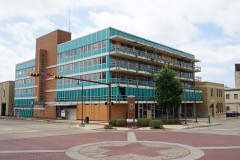 | Petroleum Building | building | 2019 | 100003494 |
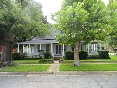 | Frank Taylor and Kate Womack Rembert House | building | 2011 | 11000980 |
 | Whaley House | building | 1980 | 80004122 |
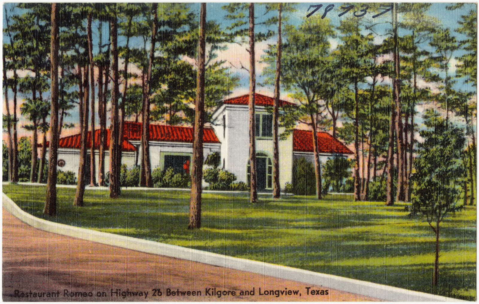
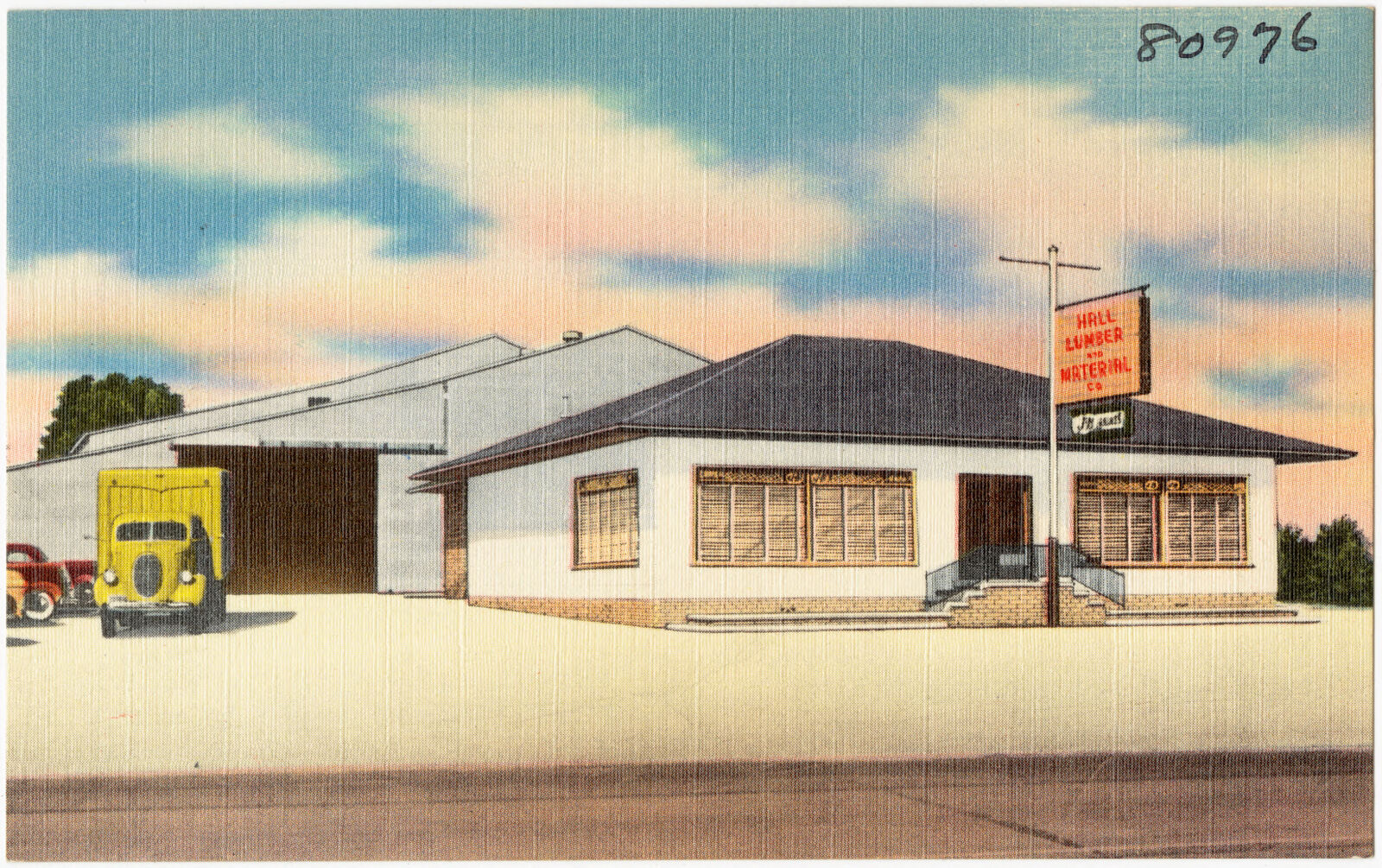
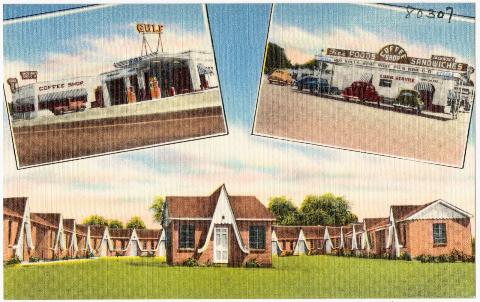
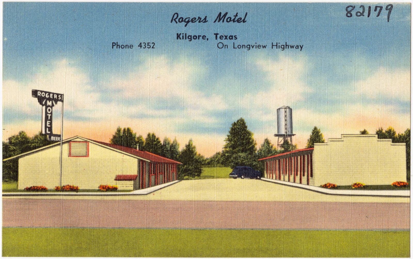
Selected from the Digital Public Library of America's 21 image records catalogued for this county. Every one shown here carries a public-domain status or a licence that permits reuse on a site that carries advertising; non-commercial, share-alike and restricted images are excluded. The selection is spread across the county's towns (at most eight per town), so no single institution's bulk upload crowds out the rest. Each opens the holding library's record, and the complete set at the Digital Public Library of America is one click away.















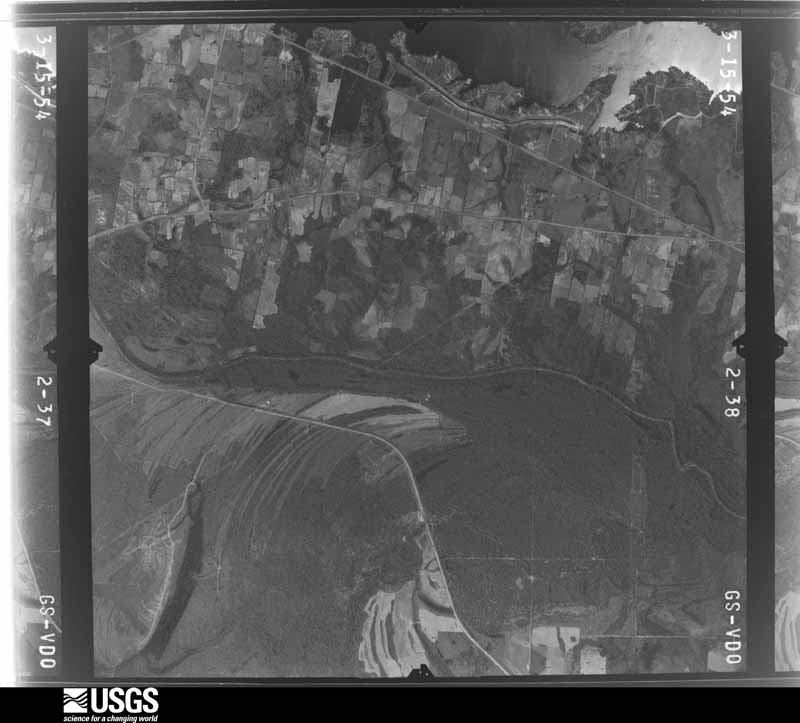
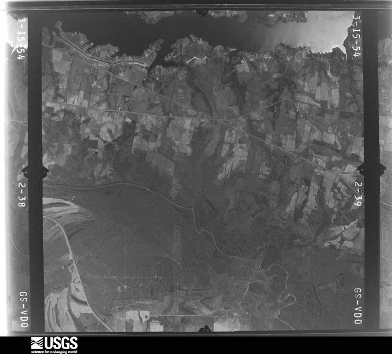
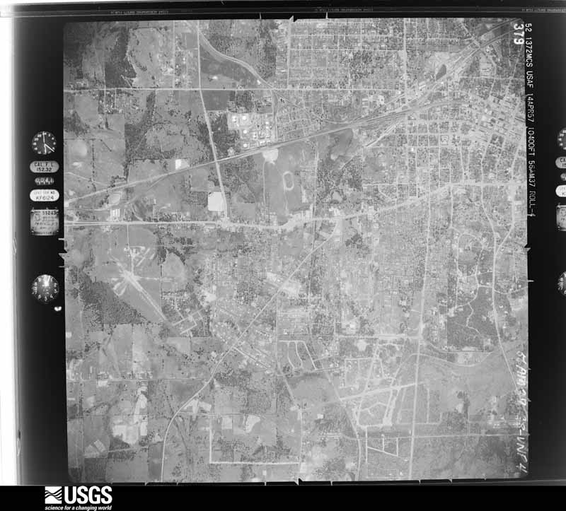
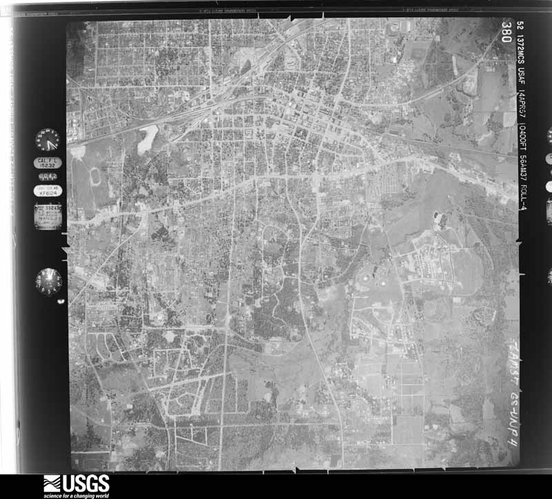
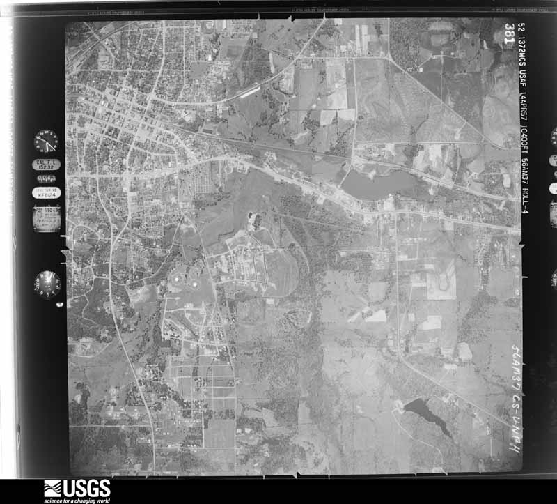
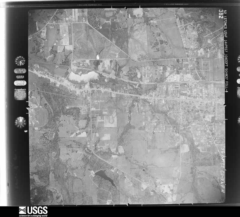
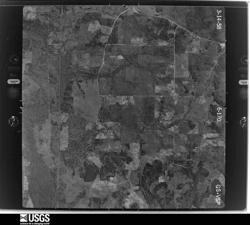
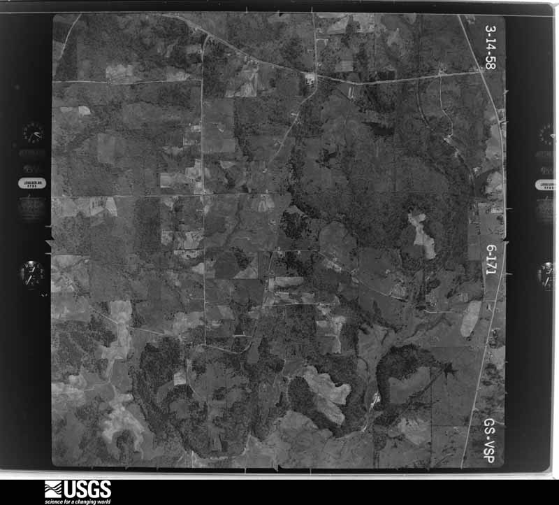
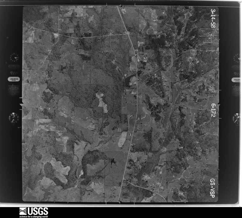
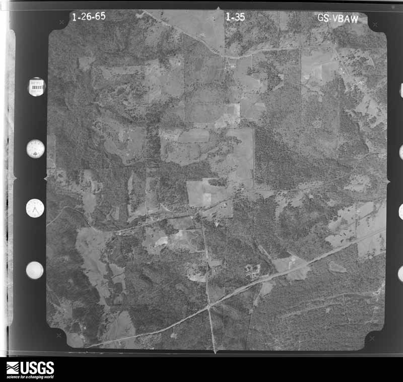
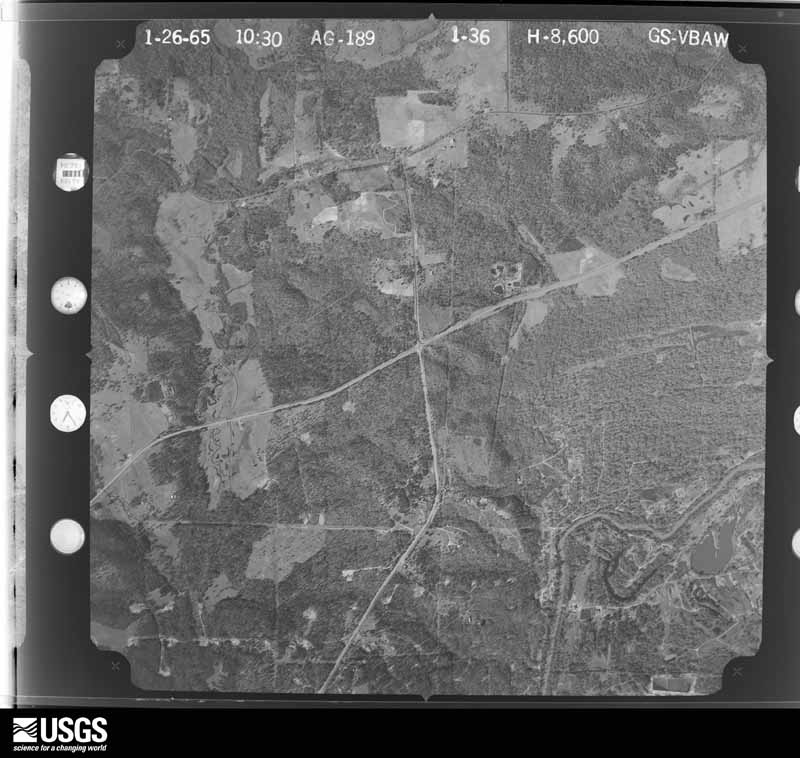
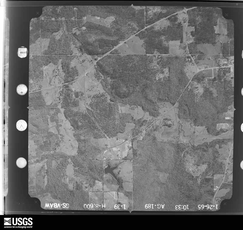
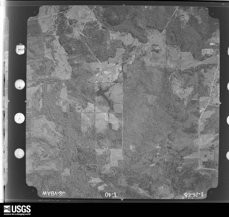
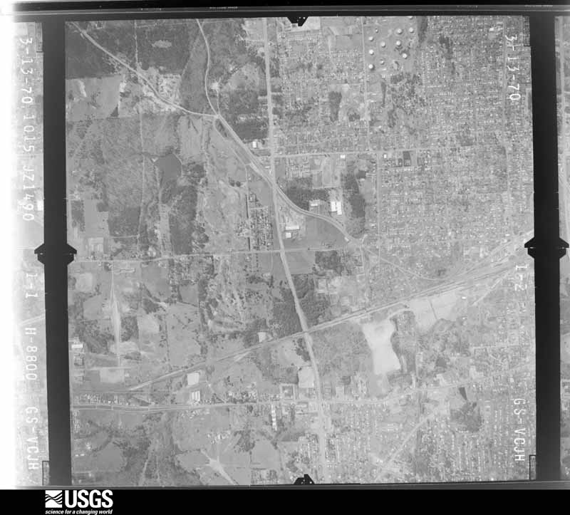
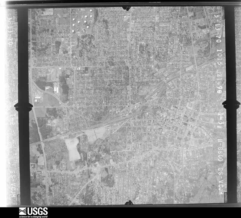
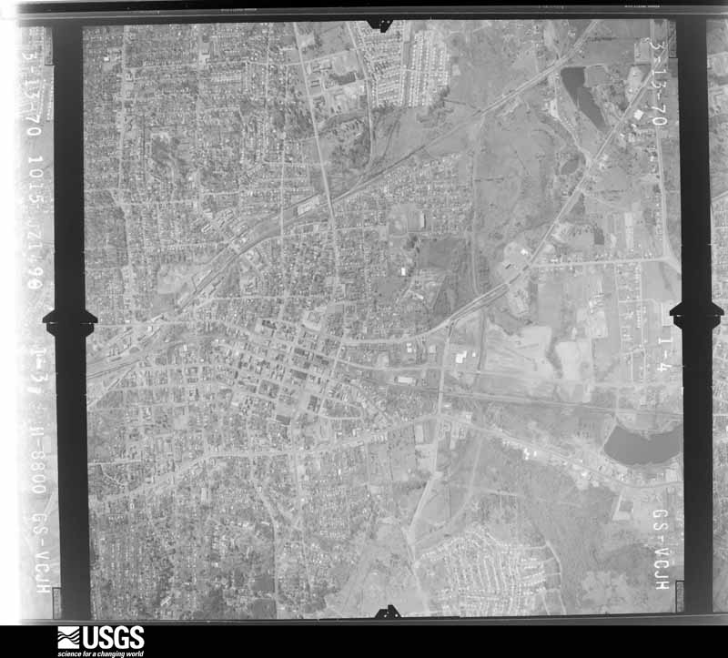
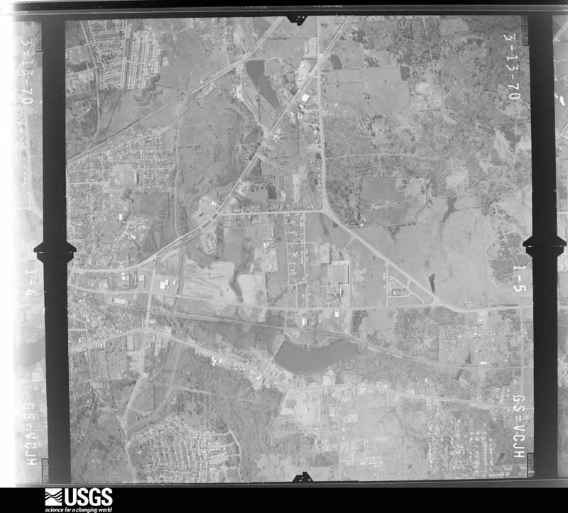
Flown by the U.S. Geological Survey between 1937 and 1989, the Aerial Photo Single Frames collection is the definitive mid-century view of the land: fields, roads and rivers as the camera saw them. The Survey holds 707 frames inside the rectangle that bounds this county; the 39 frames below were taken over the county itself, chosen across the decades of flights (at most four a year from that rectangle), so one flight cannot crowd out the rest. The full set is free to browse and download at EarthExplorer under the dataset Aerial Photo Single Frames.






















The thermometers that kept this county's weather, and the gages that measured the flow of its streams, as the federal records hold them. The extremes below are measured values from those records, not estimates.
Who lived here in 1950, one enumeration district at a time, as the Census Bureau described each district. Each row opens its official National Archives result, with Population Schedules and ED Maps available there.
Every wildfire the federal occurrence database records inside this county: 1,635 of them, burning about 11,946 acres. 29 started naturally and 141 were recorded as arson. Each settlement page carries the fires within five miles of it.
| Reported cause | Fires |
|---|---|
| Debris and open burning | 803 |
| Missing data/not specified/undetermined | 382 |
| Arson/incendiarism | 141 |
| Power generation/transmission/distribution | 107 |
| Equipment and vehicle use | 78 |
| Misuse of fire by a minor | 31 |
| Natural | 29 |
| Smoking | 27 |
| Recreation and ceremony | 24 |
| Fireworks | 7 |
| Railroad operations and maintenance | 5 |
| Other causes | 1 |
The five largest, by the area the report gives. None of them was recorded as arson.
| Date | Cause | Size | Reported by | Name on the report |
|---|---|---|---|---|
| 4 September 2011 | Power generation/transmission/distribution | 3,341 acres | Texas A & M Forest Service | OLD MAGNOLIA COMPLEX |
| 4 September 2011 | Power generation/transmission/distribution | 1,556 acres | Texas A & M Forest Service | MOORE COMPLEX |
| 4 September 2011 | Missing data/not specified/undetermined | 187 acres | Texas A & M Forest Service | WHITE OAK ROAD FIRE |
| 12 July 2008 | Natural | 177 acres | Texas A & M Forest Service | HENDERSON - 166 |
| 4 September 2011 | Missing data/not specified/undetermined | 150 acres | Texas A & M Forest Service | PLEASANT GREEN RD |
| 16 April 1996 | Debris and open burning | 139 acres | Texas A & M Forest Service | not named |
| 16 September 2011 | Power generation/transmission/distribution | 108 acres | Texas A & M Forest Service | 213 |
| 14 September 2011 | Missing data/not specified/undetermined | 81 acres | Texas A & M Forest Service | FLOYD FIRE |
Every settlement page carries the fires within five miles of it - see the settlement index below.
The NOAA Storm Events Database holds 637 reports for this county, causing 3 deaths, 9 injuries and about $43,052,750 in recorded property damage. Each settlement page carries the reports that name it.
| Kind of event | Reports |
|---|---|
| Thunderstorm Wind | 264 |
| Hail | 218 |
| Flash Flood | 89 |
| Tornado | 38 |
| Lightning | 15 |
| Flood | 12 |
| Funnel Cloud | 1 |
The most serious of them, by death, then injury, then recorded damage. The accounts are quoted exactly as the forecast office filed them.
| When | Event | Place named | Harm | What the report says |
|---|---|---|---|---|
| April 2015 | Thunderstorm Wind | Gladewater | 1 killed, 1 hurt, $20,000 | A large tree fell on top of an SUV in Gladewater, Texas killing one of the two occupants in the vehicle and severely injuring the other. |
| March 2018 | Thunderstorm Wind | Tenneryville | 1 killed, $50,000 | A large oak tree was uprooted and fell on a mobile home at the Flamingo Mobile Home Park in Northwest Longview. The tree crushed much of the mobile home, killing a 41 year old male inside. His 12 year old son was also inside, but was uninjured. |
| September 2007 | Lightning | Longview | 1 killed | A 53 year old man was struck and killed by lightning on Cox Lane. Victim was located approximately 25 feet from a large tree that was struck by lightning. |
| November 1983 | Thunderstorm Wind | not stated | 3 hurt | no account filed |
| May 1999 | Tornado (F2) | Kilgore | 2 hurt, $19,000,000 | Major damage to homes and businesses. Stoneridge Apartment complex lost portions of its roof and walls collapsed. The complex was condemned. This tornado is separate from the Gree County to Rusk County to Gregg County tornado event which occurred at the same time. |
| September 2007 | Thunderstorm Wind | Longview | 1 hurt, $100,000 | Numerous trees and power lines were blown down. A few trees fell on top of homes in town. One injury was reported when a tree fell on a home trapping the person inside. |
| August 2022 | Thunderstorm Wind | Longview Eastside Ar | 1 hurt | A downburst with maximum winds estimated at 105 mph resulted in numerous downed trees near the intersection of Loop 281 and Highway 80 in East Longview. Five buildings sustained shingle damage at the Pinehurst Apartment Complex, with the most intense damage occurring just west of the apartment complex along Pat Drive and Highway 80. Approximately 15 trees were snapped and around 30 trees were uprooted at this location. Further downstream to the west, trees were uprooted and large branches broken across the Longview Heights area, with the damage ending at the Memory Park Cemetery. One person was injured when a tree fell onto their vehicle in the Longview Heights area. |
| April 2008 | Hail | Judson | 1 hurt | Hail smashed through the windshield of a moving vehicle causing a non-life threatening injury to the driver. |
| May 1999 | Tornado (F2) | Kilgore | $6,000,000 | Numerous homes and businesses damages. This tornado continued into Rusk County, TX then reentered Gregg County, TX. |
| March 2008 | Tornado (EF0) | Kilgore East | $3,000,000 | This EF0 tornado was approximately 100 yards wide and was a continuation of the tornado in Rusk County, Texas. Many large trees were uprooted or snapped in the city of Longview, Texas. Damage started along the Rusk, Gregg County line near Stone Road were trees were uprooted. Dozens of trees were downed near the intersection of Jean Road and High Street to near Electra Street and Timpson Street to near Alpine Road and Glover Drive. Numerous trees were downed or snapped causing damage to cars, houses and outbuildings throughout the city including Valley View Elementary School where trees fell on the roof puncturing holes in the roof. Trees were reported down east of Fourth Street and south Cotton Street. Trees were also reported downed at Mobberly and Young Streets and east of 4th Street. |
| April 1988 | Tornado (F3) | not stated | $2,500,000 | no account filed |
| April 1979 | Tornado (F3) | not stated | $2,500,000 | no account filed |
| March 2008 | Flash Flood | Swamp City | $2,000,000 | River Road and High Street in Longview were both closed. In addition...17 other roads in and around Longview, Texas were closed due to excessive heavy rainfall. The downtown area had several businesses flooded with as many as two feet of water in them. |
| April 2015 | Tornado (EF1) | Longview Eastside Ar | $1,000,000 | An EF-1 tornado touched down near downtown Longview, Texas...traveling in a east northeast direction for approximately 1.32 miles before lifting some 5 minutes later.|Damage consisted of roof damage to a nursing home. A nearby mobile home park also sustained damage. The tornado did minor to moderate damage to homes along the Eden Drive/Eastman Road corridor. Three mobile homes were completely destroyed by fallen trees. The tornado also tore the roof off a local church on Eden Drive. |
| January 1998 | Hail | Longview | $1,000,000 | Grapefruit to softball size hail went through the roofs of houses and mobile homes. Two to three inch hail drifts remained along Hwy 300 between Longview and Gilmer 17 hours after it fell. |
| May 2017 | Tornado (EF1) | Spring Hill | $750,000 | An EF-1 tornado with maximum estimated winds near 105 mph touched down along Pine Tree Road just north of West Cheryl Street northwest of Longview. The tornado proceeded south southeast through the Tenneryville area snapping and uprooting numerous trees in the area. The tornado traveled just west of the Pine Tree ISD campus and continued southeast towards Highway 80, uprooting and twisting numerous trees, with several landing on homes. The tornado continued southeast towards the Greggton community where it damaged a few homes along Willow Springs Drive before crossing Highway 31 and the West Loop 281 where it began to turn more to the east southeast. The tornado caused the most visible damage along its path where it collapsed a steel dome owned by Komatsu, before continuing to the southeast causing mainly tree damage before lifting along Huntsman Way south of Interstate 20 just west of the Eastman Chemical Company. |
| January 1999 | Thunderstorm Wind | Kilgore | $640,000 | Numerous roofs were damaged. Several mobile homes were destroyed and extensive roof damage to an apartment complex. |
| March 2008 | Thunderstorm Wind | Kilgore | $500,000 | A roof was blown off a gas station on Highway 259 in Kilgore, Texas. Numerous trees and powerlines were downed in town. Damage was also reported to 5 local schools in and near the Kilgore, Texas area. |
| July 1996 | Flash Flood | Longview | $500,000 | no account filed |
| May 1978 | Tornado (F1) | not stated | $250,000 | no account filed |
| April 1970 | Tornado (F2) | not stated | $250,000 | no account filed |
| May 1958 | Tornado (F3) | not stated | $250,000 | no account filed |
| October 2009 | Thunderstorm Wind | Greggton | $200,000 | Numerous trees were downed including some on homes and automobiles in the Longview Heights subdivision. |
| August 2002 | Thunderstorm Wind | Kilgore | $150,000 | Numerous trees down. Several trees fell on a house doing considerable damage to the roof and frame of the home while another tree crushed a pickup truck. |
| January 1998 | Hail | Longview | $125,000 | Numerous homes suffered severe roof damage resulting in water damage to the interior of homes. |
| October 2025 | Tornado (EF1) | Kilgore | $115,000 | An EF-1 tornado with estimated maximum winds near 94 mph touched down along CR 1122 in Southern Gregg County, just east of FM 2012 west of Kilgore, where a few trees were snapped and uprooted. A doublewide manufactured home lost most of its metal skirting and sustained the loss of about half of its roof and porch covering. The tornado continued east and caused significant roof damage to a second doublewide manufactured home. As the tornado entered the city of Kilgore, two businesses along Industrial Blvd lost most of their roofs. The tornado then tracked across Commerce Street at the Harris Street Park, where multiple trees were snapped and uprooted, and dugouts were damaged at Driller Park. The tornado then took a slight southeast turn, crossing into Northern Rusk County. |
| July 2024 | Tornado (EF0) | Elderville | $100,000 | This is a continuation of the Northern Rusk County tornado. This EF-0 tornado, with estimated maximum winds near 85 mph, tracked northwest into Southeast Gregg County across the East Texas Regional Airport. Sporadic tree damage occurred just south of the airport, but as the tornado crossed over onto the airport property, it damaged several hangars by knocking down or twisting the large metal hangar doors, while ripping off some side paneling to the hangars. Two nearby stop signs were also twisted at the base. Additional tree damage also occurred on the west side of Highway 322 across from the airport before lifting shortly thereafter just north of FM 2204. |
| August 2012 | Thunderstorm Wind | Gladewater | $100,000 | Numerous trees and powerlines were downed in the area. Several of these trees fell on homes. The roof was removed from a business on Hwy. 80. A portion of the roof landed on an automobile. |
| May 2008 | Flash Flood | Greggton | $100,000 | Flash flooding was reported over much of the city. Flooding resulted to at least 24 temporary street closures in town. Nine residents reported flooding in their homes as well. |
| March 2008 | Thunderstorm Wind | Greggton | $100,000 | Windows were blown out and a roof was torn off an apartment complex on Farm to Market Road 1845. A tree was also down on a home in town. |
| June 2011 | Thunderstorm Wind | Greggton | $75,000 | Siding was removed from a car wash at West Marshall and Pine Tree Road. Wind also damaged the roof of an auto repair shop. Several vehicles were damaged as well. |
| March 2017 | Tornado (EF1) | Tenneryville | $60,000 | An EF-1 tornado with maximum estimated winds of 100-110 mph touched down along Reel Road just north of West Loop 281, primarily snapping and uprooting trees. A tree did fall on the back side of one house at the corner of Reel Road and Buckner Street, damaging the house. Several homes had roof damage in the Hobson Road area, and several fences were blown over as well. The cross at the Grace Crossing United Methodist Church was leaning significantly and a light pole was also bent in this area. The tornado partially lifted the roof at the Judson Road Animal Clinic. One home and two cars were crushed by trees along Mary Ellen Drive. Another home along Airline Road lost several shingles as well as several trees on the property were snapped or uprooted. The tornado finally lifted just east of Sam Page Road. |
| April 2019 | Lightning | Kilgore | $50,000 | The Sabine Fire Department reported that a tank battery was struck by lightning on Watson Road, causing the tank to catch fire. Officials stated that mud and high water prevented them from getting equipment close enough to extinguish the flames. The fire melted power lines hanging near the tanks. No injuries were reported. |
| May 2017 | Tornado (EF1) | White Oak | $50,000 | This is a continuation of the Southern Upshur County tornado that initially touched down along North White Oak Road. This tornado strengthened into an EF-1 tornado with maximum estimated winds between 100-110 mph as it entered Northern Gregg County between Morgan Road and East Mountain Road, where several large pine, cedar, and mesquite trees were snapped or uprooted across open pastureland. A few shingles were also blown off of a home at the intersection of East Mountain Road and Shiloh Road. This tornado partially lifted back to treetop levels as it moved along Shiloh Road, with numerous trees sheared near the top. The most extensive damage came to the Shiloh Baptist Church, where the tornado tore off a small section of the roof and steeple and threw them northeast into the adjacent church cemetery. Several large hardwoods were also snapped at the base or uprooted along Shiloh Road and in the cemetery, with this damage justifying the high end EF-1 damage. The tornado continued east along Shiloh Road where it partially lifted back to treetop level, shearing the tops off of numerous trees before finally lifting about one-half mile west of Farm to Market Road 1845 near the East Mountain community. |
| September 2013 | Flash Flood | Bodie | $50,000 | A portion of Scenic Drive in front of the Penwood Apartments collapsed due to flash flooding. The underpass at High Street and Cotton Street was closed due to high water. The underpass at Green and Nelson Streets were also closed due to high water. A bridge was also washed out in the 2200 block of Lafamo. Another road was washed out at Lincoln and Avenue B. |
| August 2012 | Thunderstorm Wind | Greggton | $50,000 | Several trees were downed in the Longview Heights area. Some homes were also damaged by the trees. |
| March 2008 | Thunderstorm Wind | Kilgore | $50,000 | Numerous trees and power lines downed across the northern portion of the county. Many residents without power. One tree fell across a home on Vinewood Street. |
| June 2004 | Thunderstorm Wind | Longview | $50,000 | Trees down on a home in town. |
| June 1998 | Thunderstorm Wind | Gladewater | $50,000 | Powerlines down. |
| May 1994 | Thunderstorm Wind | Longview | $50,000 | Thunderstorm winds blew a tree down onto a house in northwest Longview. |
| October 1994 | Thunderstorm Wind | not stated | $50,000 | Numerous roads were closed by fallen trees. |
| May 1994 | Thunderstorm Wind | Longview | $50,000 | Trees, signs, and traffic lights were blown down by thunderstorm winds. Some windows were blown out. |
| May 1994 | Thunderstorm Wind | Longview | $50,000 | Trees were blown down onto Highway 300 and roofs were damaged. |
| September 1993 | Thunderstorm Wind | Kilgore | $50,000 | Thunderstorm winds damaged trees and power lines. A few trees were blown onto houses, and some windows were broken from flying debris. |
| September 1993 | Thunderstorm Wind | Longview | $50,000 | Thunderstorm winds blew down three utility poles and some large tree limbs. |
| October 1993 | Thunderstorm Wind | Kilgore | $50,000 | Strong winds blew power lines down. Signs were also blown down. |
| November 1993 | Thunderstorm Wind | Kilgore | $50,000 | Strong winds blew power lines down. Signs were also blown down. |
| August 2010 | Thunderstorm Wind | Greggton | $40,000 | Trees were downed in Longview, Texas. One tree, a 100 foot tall pine tree, fell through a home in the 4300 block of Kennedy Trail in north Longview. |
| May 2002 | Thunderstorm Wind | White Oak | $40,000 | A tree was blown onto a house causing severe structural damage. Power lines were toppled and numerous trees felled. |
| May 2014 | Thunderstorm Wind | Kilgore | $35,000 | Several large trees were downed in Kilgore, Texas. One tree fell on top of a carport on Lantrip Street off of Hwy. 259. Another tree fell across a fence in town. Trees were also downed at the Kilgore, Police Department and a tin roof was blown off a building. |
| April 2019 | Lightning | Spring Hill | $30,000 | Lightning struck a home on Whitaker Circle which resulted in a fire to the home. No injuries were reported. |
| September 2013 | Lightning | Greggton | $30,000 | Lightning struck a rotting tree which caused the tree to fall on a home in Longview, Texas on Oakdale Avenue. |
| April 2012 | Thunderstorm Wind | Greggton | $30,000 | Metal roofing was removed from the Le Tourneau Technologies building on Estes Drive. |
| June 2011 | Thunderstorm Wind | Gladewater | $30,000 | Trees and powerlines were downed in the town of Gladewater. One tree fell on top of a brick home. There were no report of any injuries. |
| September 1998 | Flash Flood | Gladewater | $30,000 | Several roads washed out including Commerce, West Lake, and East Lake. |
| May 2017 | Tornado (EF1) | Easton | $25,000 | A weak EF-1 tornado with maximum estimated winds near 90 mph touched down 2 miles west of the Easton community along Highway 2906 where it uprooted several trees. This tornado continued east along Highway 2906 where several more trees were snapped or uprooted with the most noticeable damage found in the city of Easton along the Gregg/Rusk County line. Several trees were uprooted and fell on homes in Easton, before moving across the city on the Rusk County side. |
| September 2013 | Thunderstorm Wind | Tenneryville | $25,000 | A large tree was downed on the corner of a home on Fenton Road, northwest of Longview, Texas. Several other areas were dealing with downed powerlines as well. |
| July 2007 | Flash Flood | Longview | $25,000 | Numerous streets and the intersection of Loop 281 and Hwy. 80 under water. A tree fell on top of a home in town resulting in moderate damage to the home. The prolonged heavy rain and the super saturation of the soil allowed the tree to fall as the weight of the tree was too heavy for the root system to support it. |
| July 2005 | Thunderstorm Wind | Longview | $25,000 | The roof to a manufacturing plant was damaged. |
| August 2002 | Thunderstorm Wind | White Oak | $25,000 | Numerous trees down including trees across two homes causing moderate to light roof damage. |
The Survey's mineral resources record lists 5 workings inside this county. All of them still produce. Each settlement page carries the workings within five miles of it.
| Commodity | Workings |
|---|---|
| Sand and Gravel, Construction | 4 |
| Clay | 1 |
The least common of them first, because a county's hundredth gravel pit says nothing its first ten did not.
| Where | Site | Commodity | Status | Recorded |
|---|---|---|---|---|
| Kilgore Ceramics Corp Plant | Clay | Producer | ||
| A & T Sand Pit | Sand and Gravel, Construction | Producer | ||
| Ingram Pit | Sand and Gravel, Construction | Producer | ||
| Norton Pit | Sand and Gravel, Construction | Producer | ||
| Texas Bitulithic Plant | Sand and Gravel, Construction | Producer |
Named settlements recorded in the Geographic Names Information System, each with the topographic sheets covering it. Villages, hamlets and abandoned places alike. Each is shown with the nearest named watercourse or landform and the survey quadrangle it falls on.
Gladewater census division · 75647 · On Campbells Creek · Gladewater quadrangle
12 sheets, 1956 to 1986
Kilgore census division · 75662 · On Bighead Creek · Kilgore NE quadrangle
16 sheets, 1936 to 1986
Lakeport census division · 75662 · On Wynns Bayou · Kilgore NE quadrangle
16 sheets, 1936 to 1986
Longview census division · 75604 · On Hawkins Creek · Kilgore NE quadrangle
16 sheets, 1936 to 1986
Longview Northwest census division · 75605 · On Elm Branch · White Oak quadrangle
13 sheets, 1956 to 1986
Kilgore census division · 75662 · On Turkey Creek · Kilgore NW quadrangle
15 sheets, 1936 to 1986
Liberty City census division · 75662 · On Bighead Creek · Kilgore NE quadrangle
16 sheets, 1936 to 1986
Lakeport census division · 75603 · On Wood Creek · Lakeport quadrangle
16 sheets, 1956 to 1986
Longview census division · 75601 · On Harris Creek · Longview Heights quadrangle
13 sheets, 1956 to 1986
Kilgore census division · 75662 · On Bighead Creek · Kilgore NE quadrangle
16 sheets, 1936 to 1986
Longview Northwest census division · 75605 · White Oak quadrangle
13 sheets, 1956 to 1986