 Block
BlockFrom the record
7 National Register listings published here.
Sources: the National Register database, National Park Service
72 topographic sheets cover 43 settlements here, and 7 properties are on the National Register of Historic Places.
7 National Register listings published here.
Sources: the National Register database, National Park Service
Every property in this county listed on the National Register of Historic Places, with the year it was listed and the federal nomination document.
| Photograph | Property | Type | Listed | Reference |
|---|---|---|---|---|
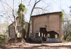 | Aldridge Sawmill | site | 2001 | 01000209 |
| Blake-Beaty-Orton House | building | 1975 | 75001994 | |
| Col. Randolph C. Doom House | building | 1975 | 75001995 | |
 | Jasper County Courthouse | building | 1984 | 84001898 |
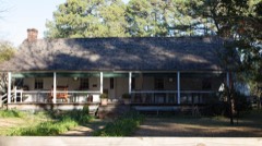 | Andrew Smyth House | building | 1979 | 79002983 |
| Turner-White-McGee House | building | 1979 | 79002984 | |
 | US 190 Bridge at the Neches River | structure | 1996 | 96001121 |
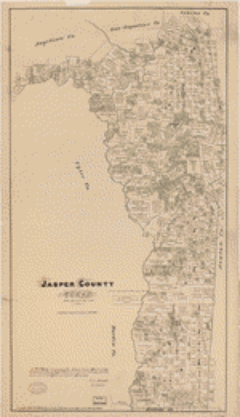
Drawn when these were printed as single large sheets: the town seen from the air, and the county divided into its farms with every owner named. Each opens the original at the Library of Congress.
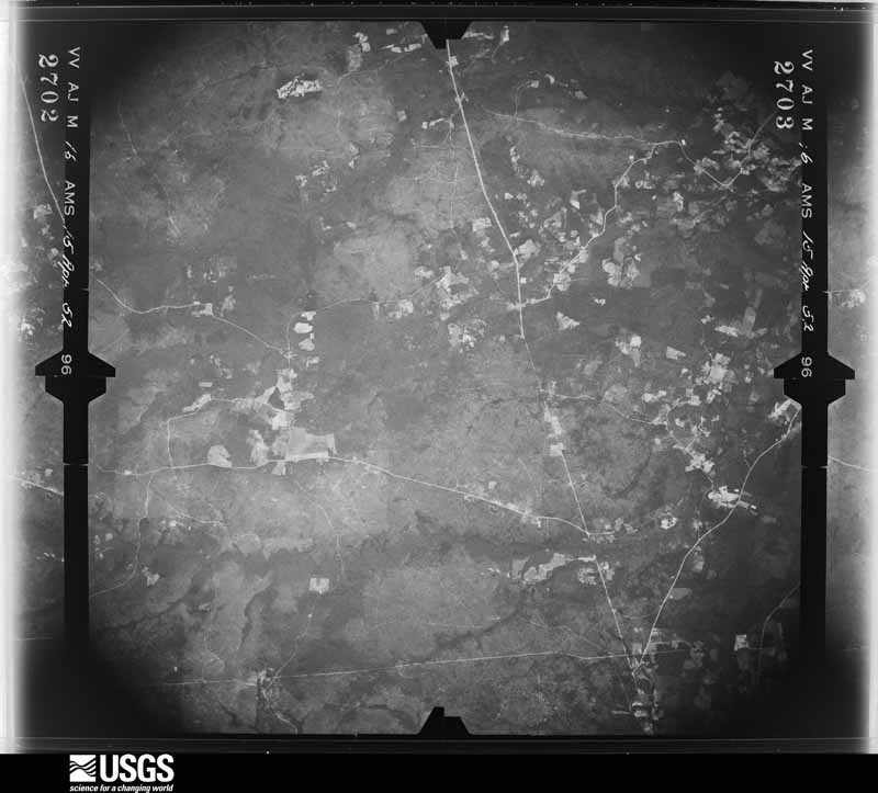
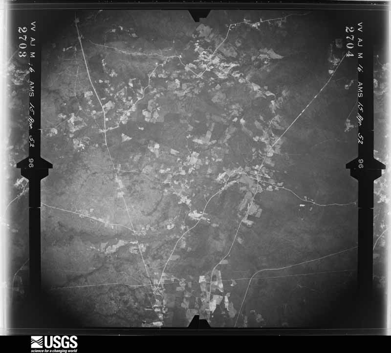
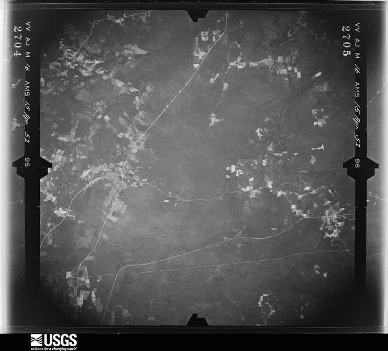
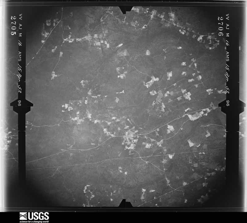
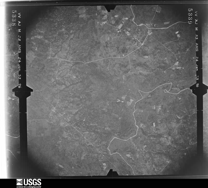
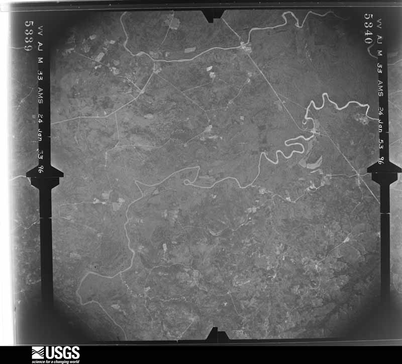
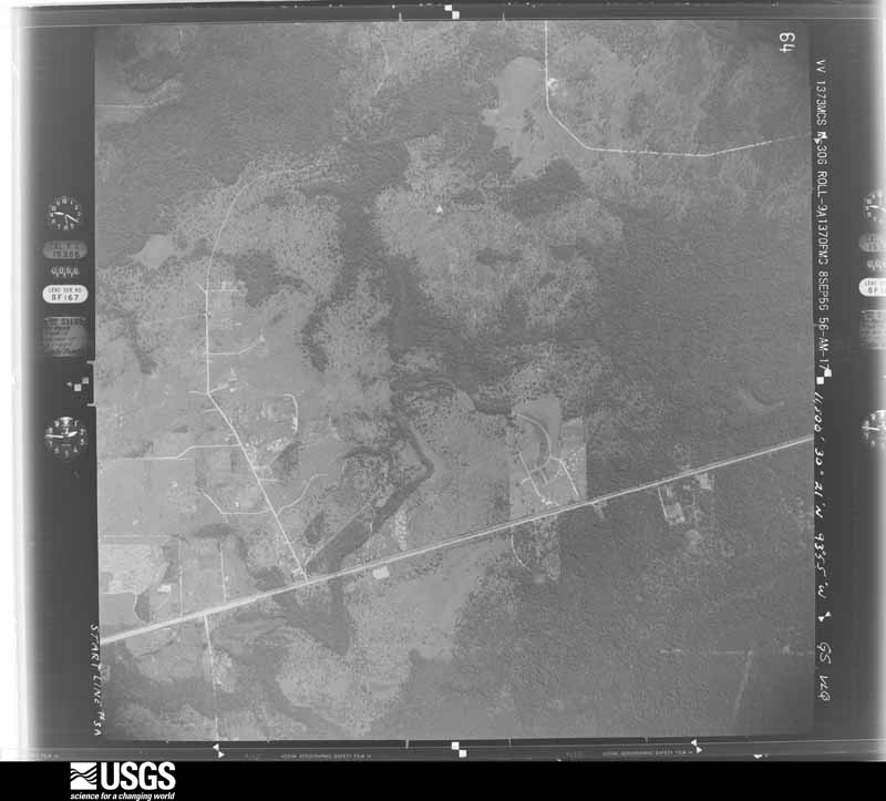
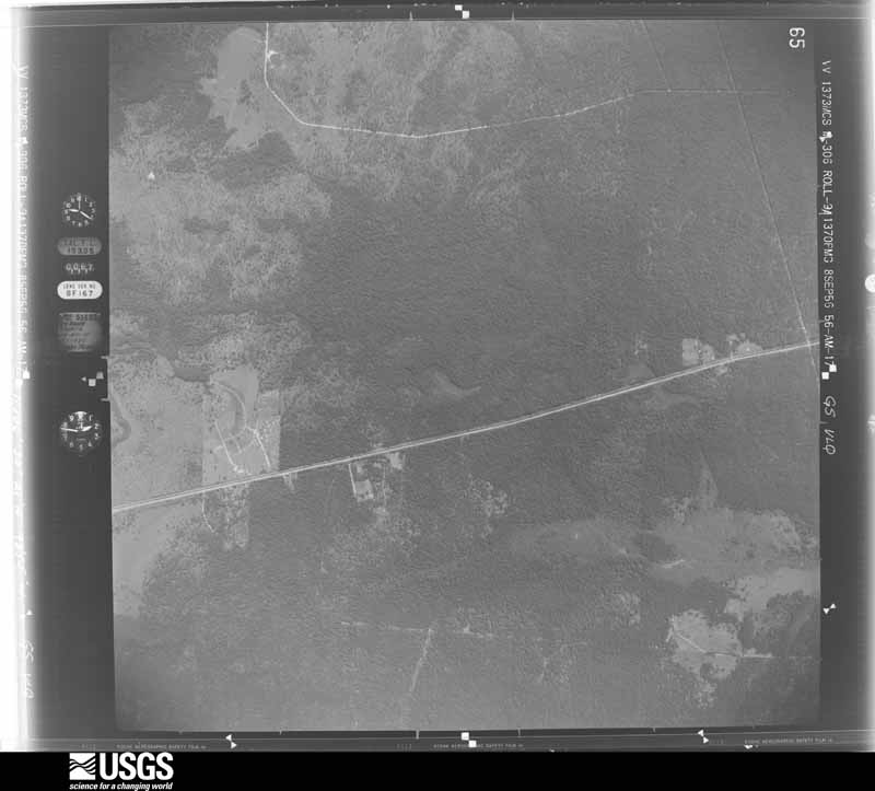
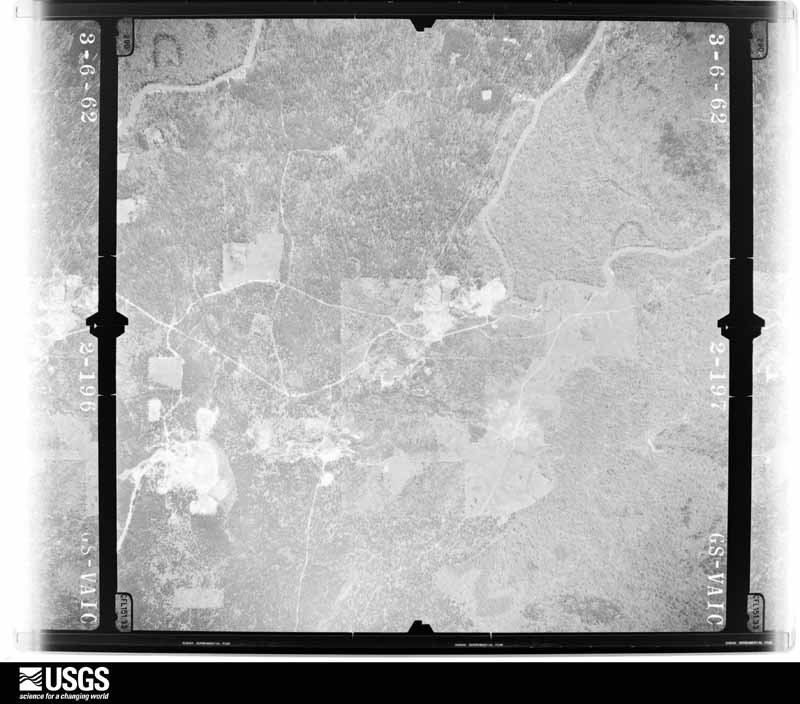
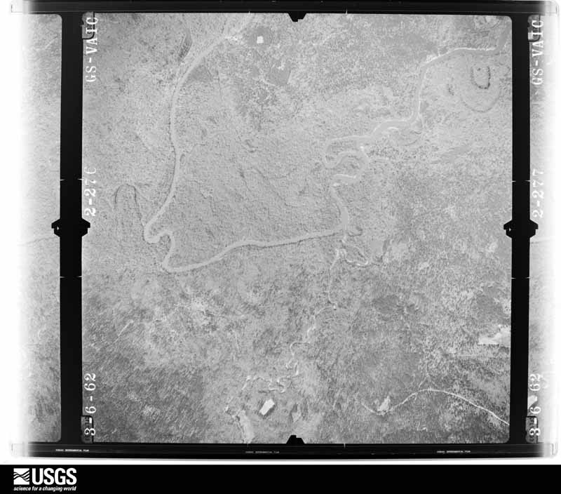
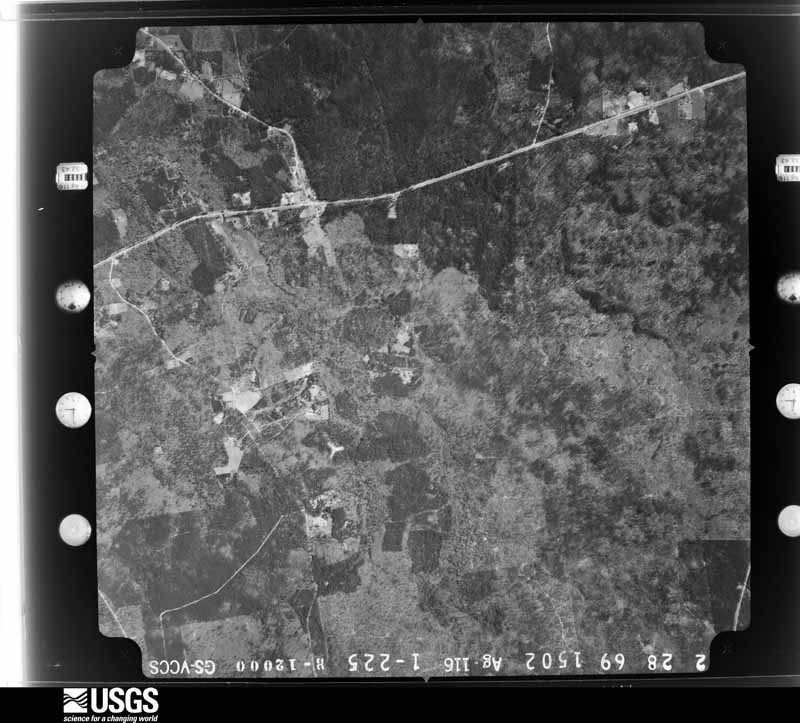
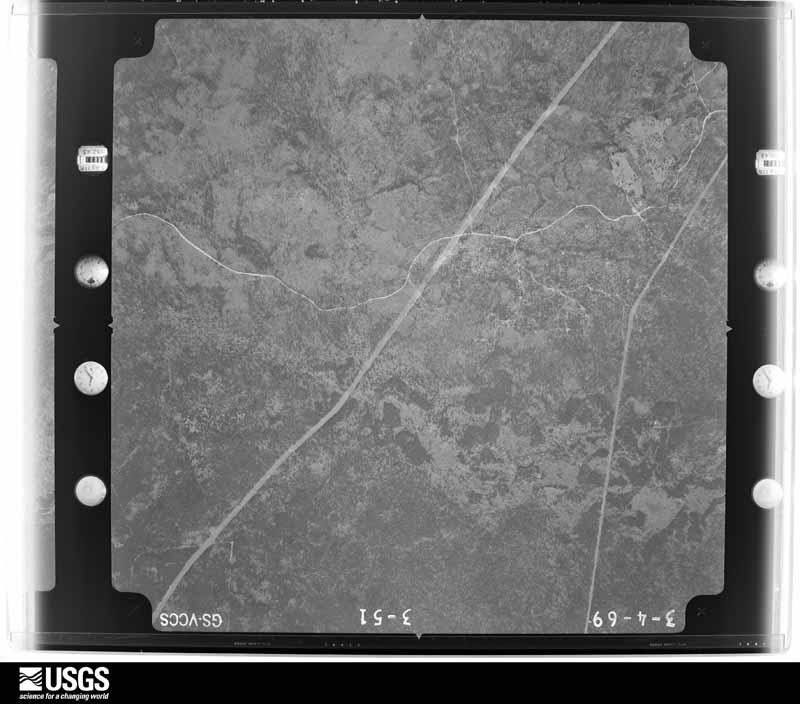
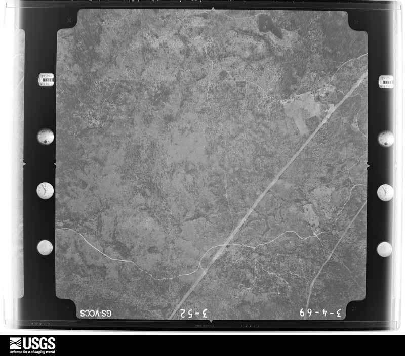
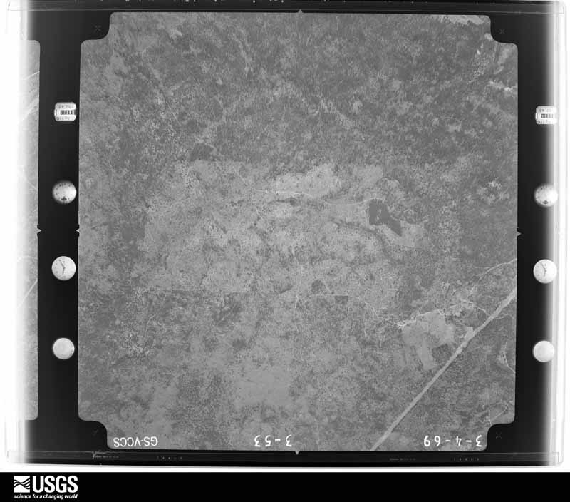
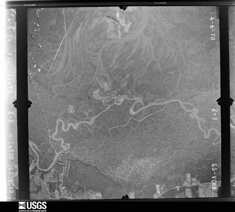
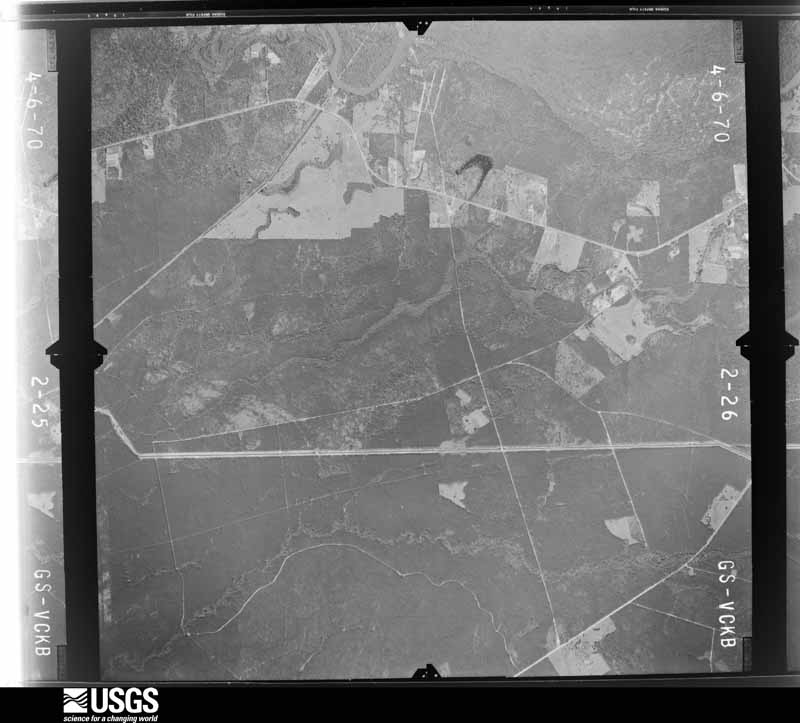
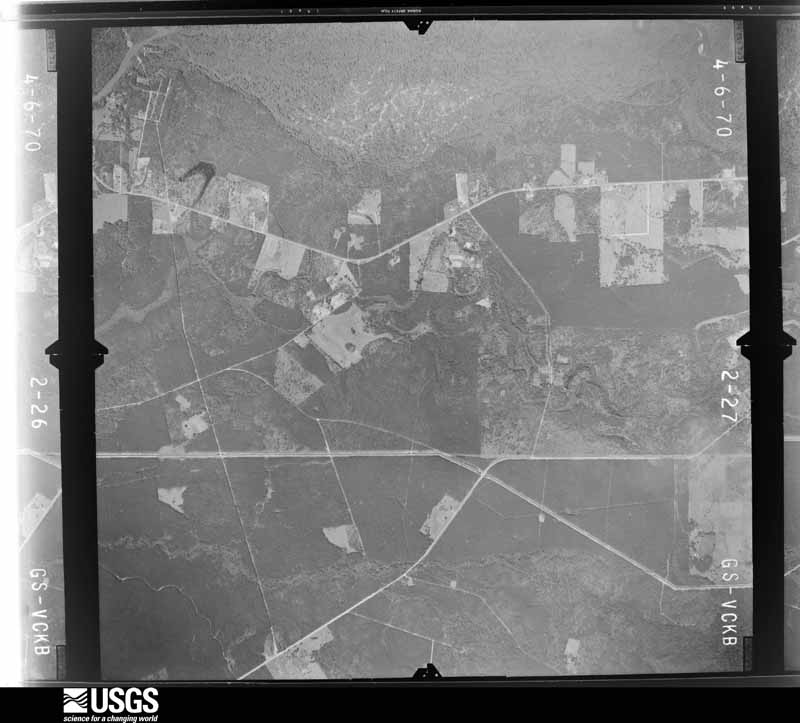
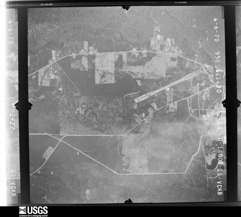
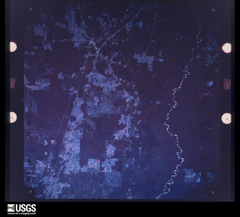
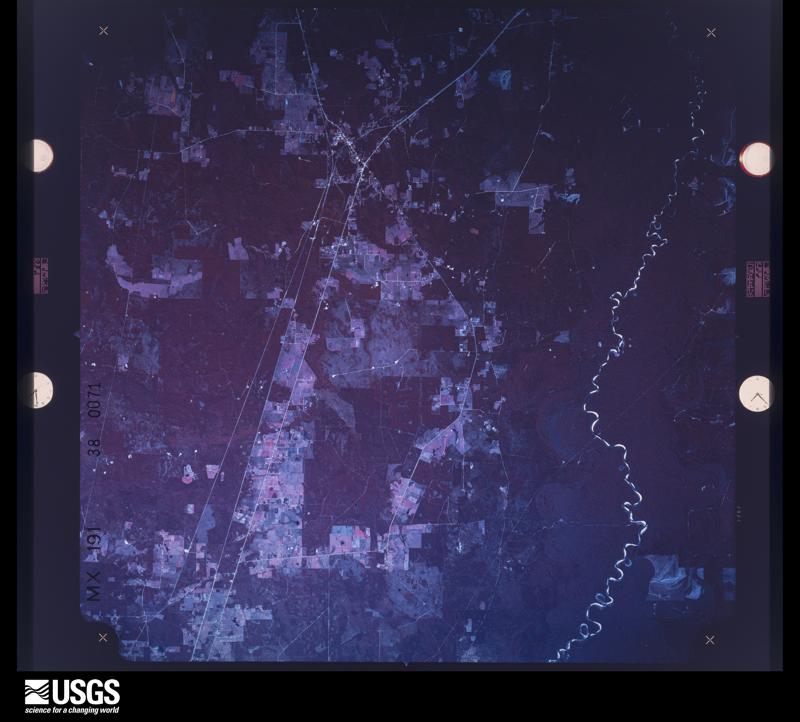
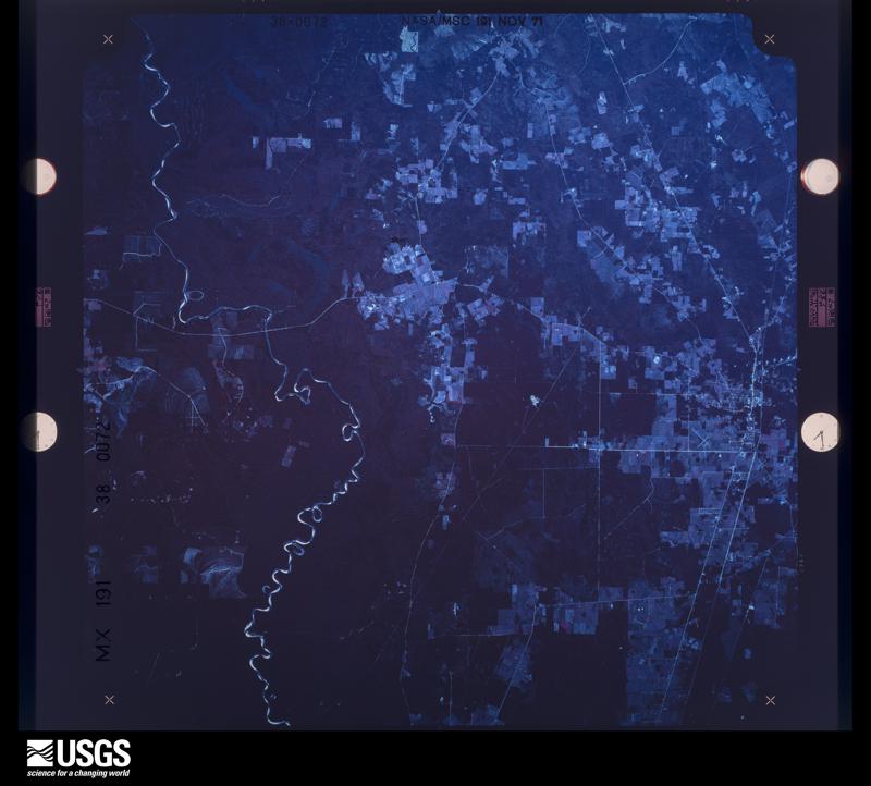
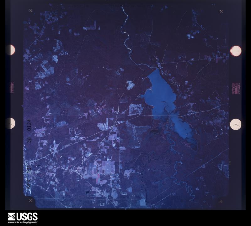
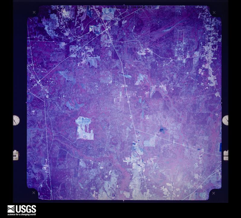
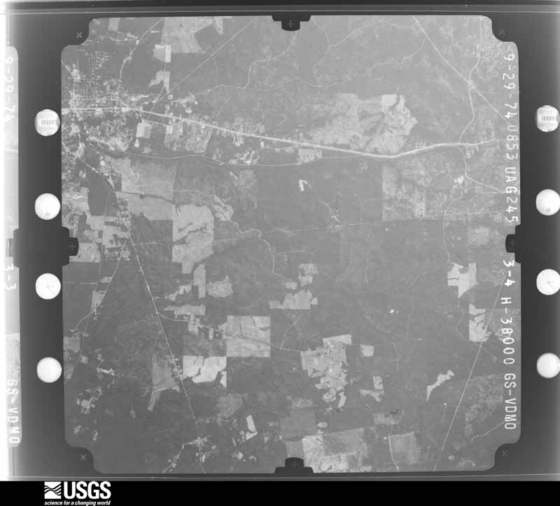
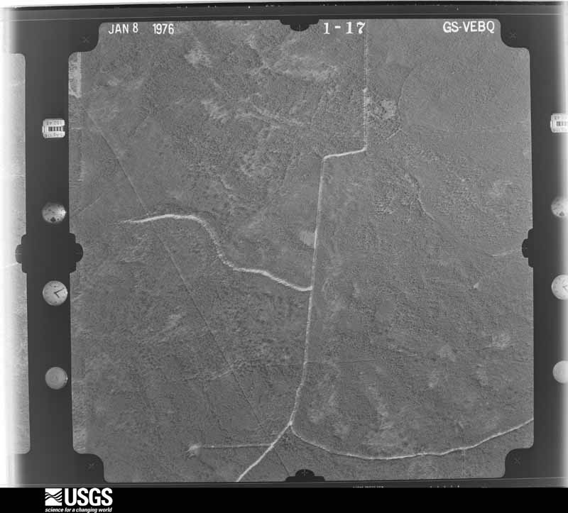
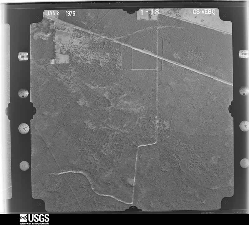
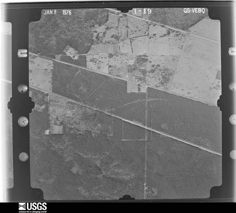
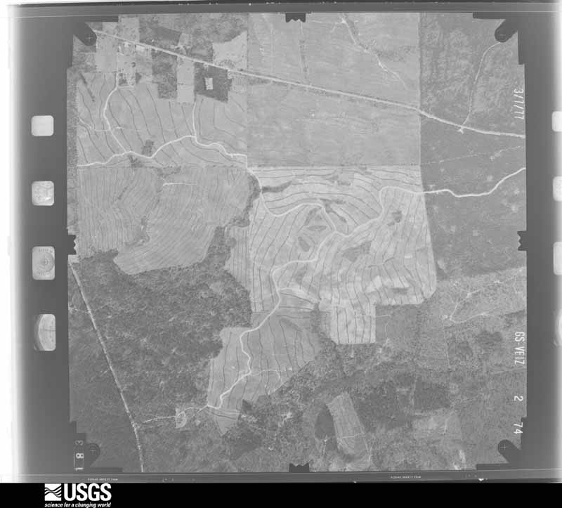
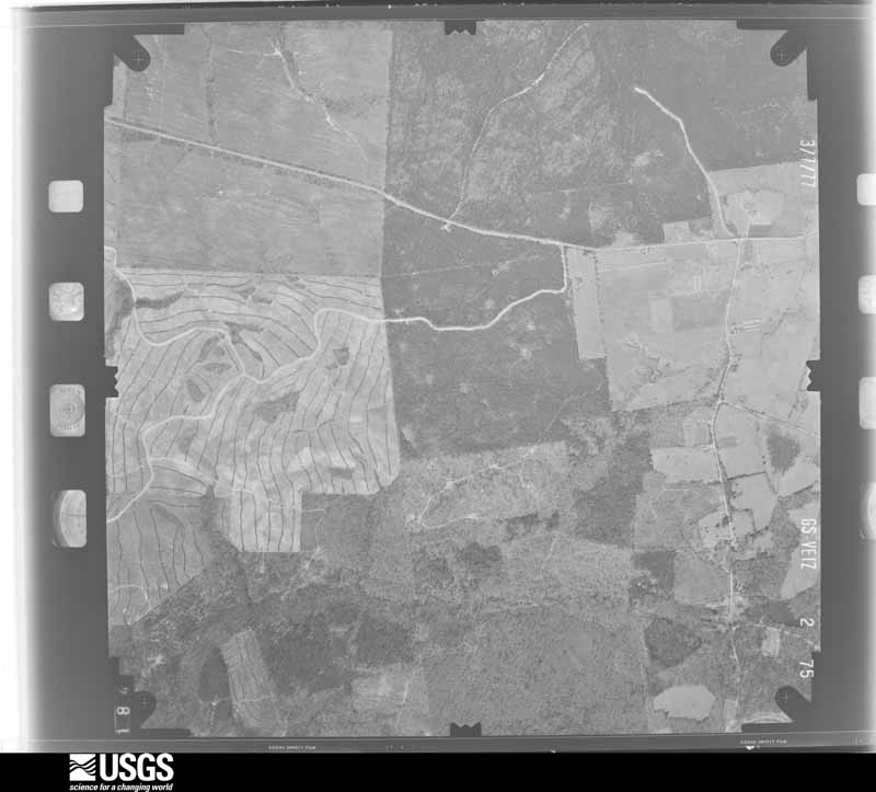
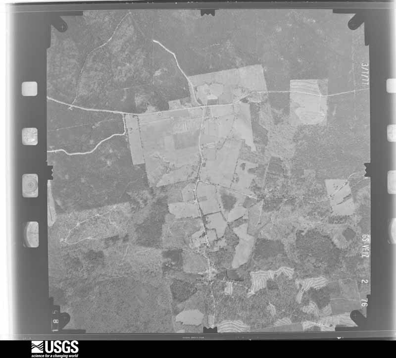
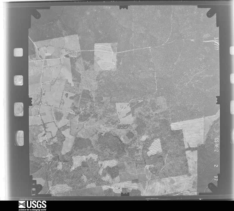
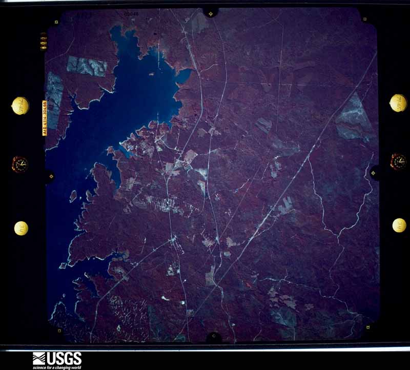
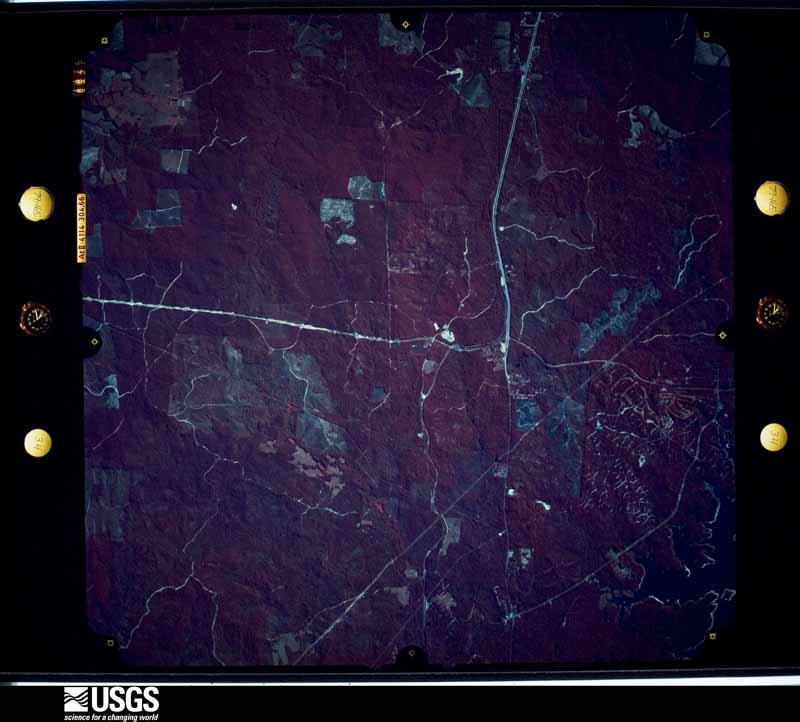
Flown by the U.S. Geological Survey between 1937 and 1989, the Aerial Photo Single Frames collection is the definitive mid-century view of the land: fields, roads and rivers as the camera saw them. The Survey holds 3,779 frames inside the rectangle that bounds this county; the 48 frames below were taken over the county itself, chosen across the decades of flights (at most four a year from that rectangle), so one flight cannot crowd out the rest. The full set is free to browse and download at EarthExplorer under the dataset Aerial Photo Single Frames.
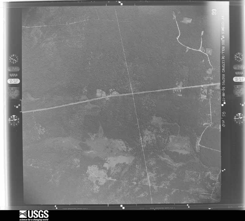
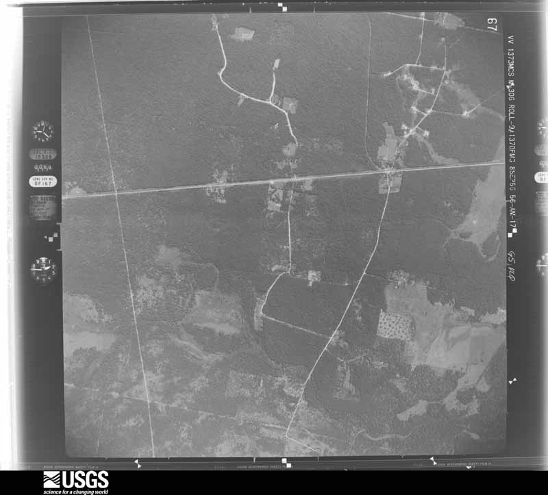
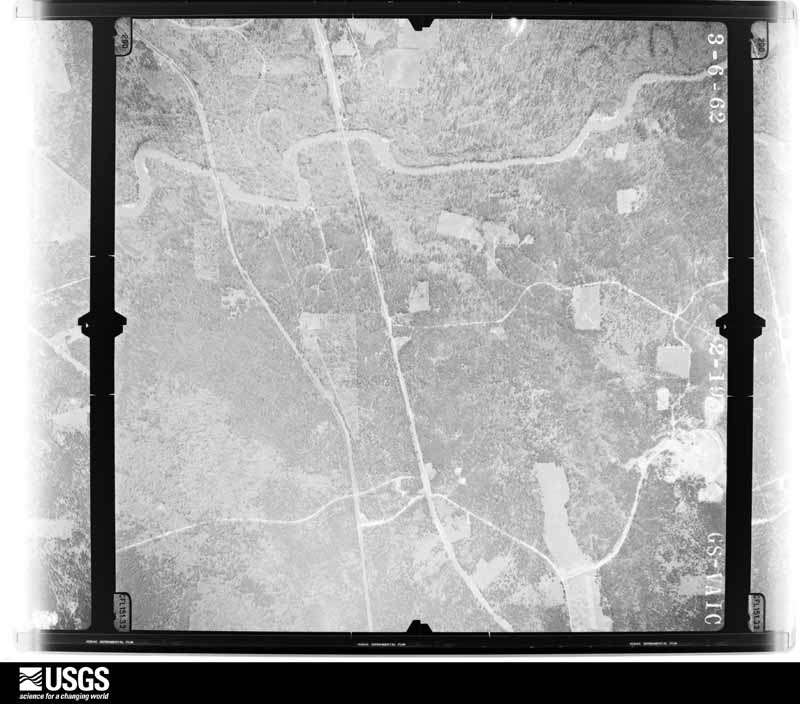
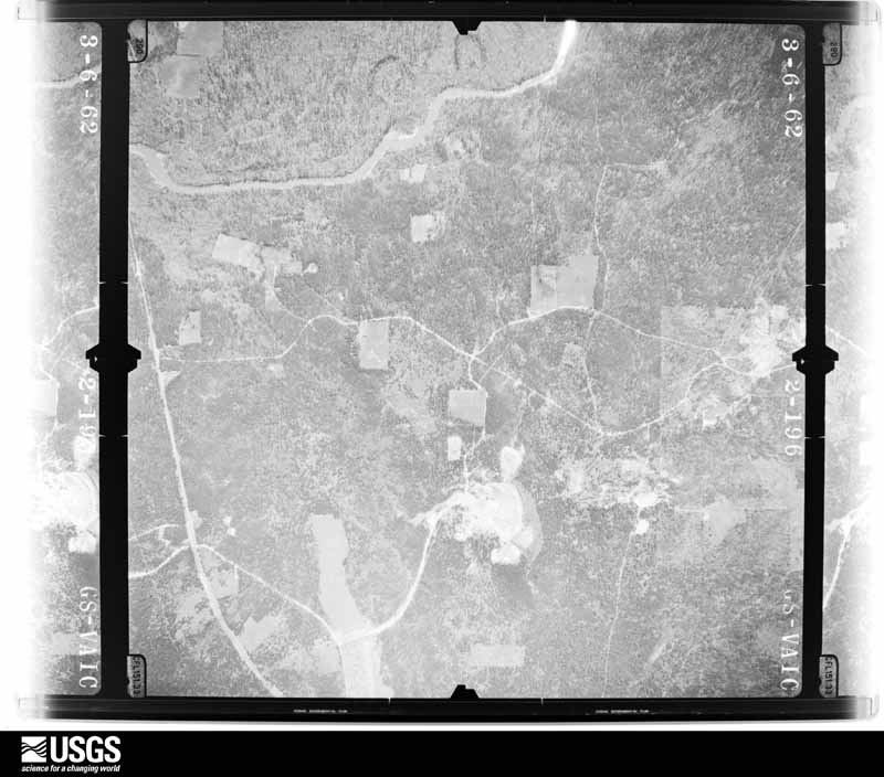



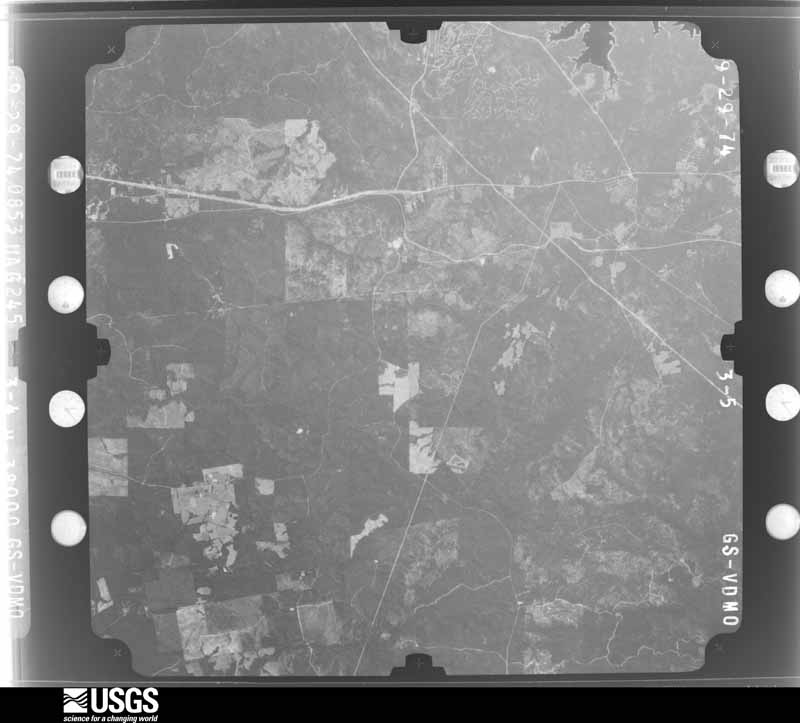
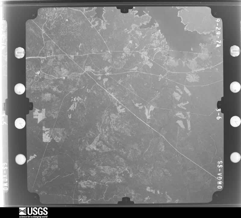
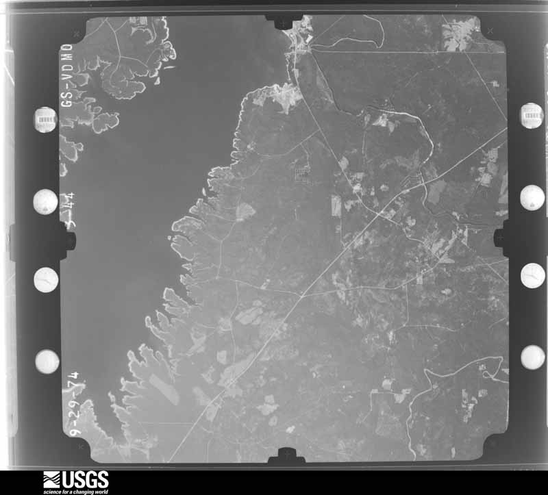
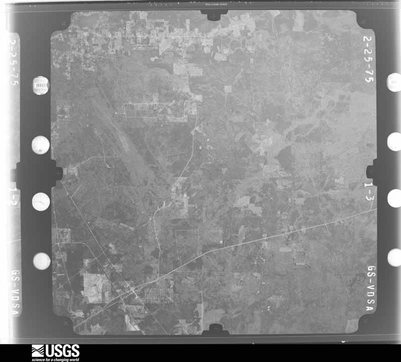
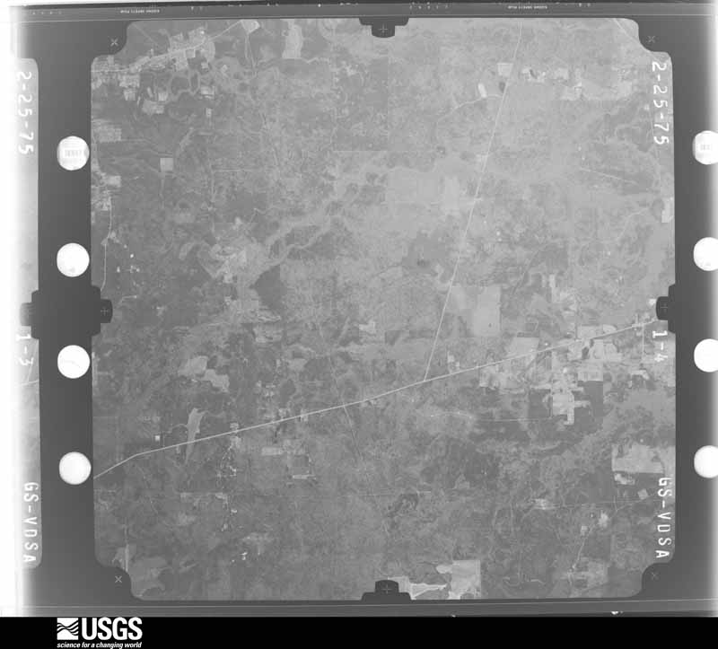
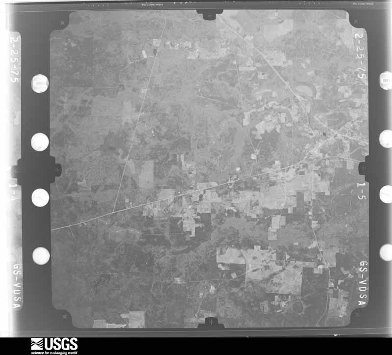
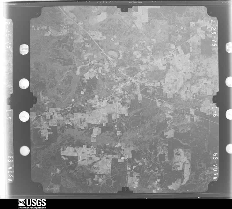
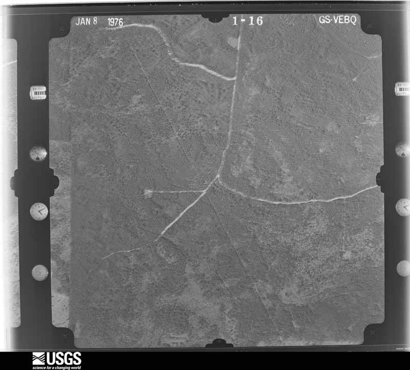
The thermometers that kept this county's weather, and the gages that measured the flow of its streams, as the federal records hold them. The extremes below are measured values from those records, not estimates.
Who lived here in 1950, one enumeration district at a time, as the Census Bureau described each district. Each row opens its official National Archives result, with Population Schedules and ED Maps available there.
Every wildfire the federal occurrence database records inside this county: 2,802 of them, burning about 35,642 acres. 89 started naturally and 667 were recorded as arson. Each settlement page carries the fires within five miles of it.
| Reported cause | Fires |
|---|---|
| Debris and open burning | 1423 |
| Arson/incendiarism | 667 |
| Missing data/not specified/undetermined | 365 |
| Natural | 89 |
| Power generation/transmission/distribution | 76 |
| Equipment and vehicle use | 57 |
| Railroad operations and maintenance | 41 |
| Recreation and ceremony | 29 |
| Smoking | 24 |
| Misuse of fire by a minor | 21 |
| Fireworks | 6 |
| Other causes | 4 |
The five largest, by the area the report gives. Three of them were set deliberately.
| Date | Cause | Size | Reported by | Name on the report |
|---|---|---|---|---|
| 18 June 2011 | Missing data/not specified/undetermined | 4,197 acres | Texas A & M Forest Service | POWERLINE FIRE |
| 29 May 2011 | Debris and open burning | 1,000 acres | Texas A & M Forest Service | K10-88 |
| 20 October 2011 | Debris and open burning | 1,000 acres | Texas A & M Forest Service | K10-152 |
| 23 November 2005 | Debris and open burning | 608 acres | Texas A & M Forest Service | WOODVILLE - 400 |
| 10 December 1996 | Arson/incendiarism | 520 acres | Texas A & M Forest Service | not named |
| 11 June 2011 | Arson/incendiarism | 500 acres | Texas A & M Forest Service | DAM B FIRE |
| 26 February 1996 | Arson/incendiarism | 475 acres | Texas A & M Forest Service | not named |
| 2 June 2003 | Natural | 416 acres | National Forests And Grasslands In Texas | WIGGLY FARM |
Every settlement page carries the fires within five miles of it - see the settlement index below.
The NOAA Storm Events Database holds 394 reports for this county, causing 6 deaths, 22 injuries and about $118,617,280 in recorded property damage. Each settlement page carries the reports that name it.
| Kind of event | Reports |
|---|---|
| Thunderstorm Wind | 190 |
| Hail | 95 |
| Tornado | 58 |
| Flash Flood | 38 |
| Flood | 6 |
| Lightning | 3 |
| Heavy Rain | 3 |
| Funnel Cloud | 1 |
The most serious of them, by death, then injury, then recorded damage. The accounts are quoted exactly as the forecast office filed them.
| When | Event | Place named | Harm | What the report says |
|---|---|---|---|---|
| August 2017 | Thunderstorm Wind | Jasper | 2 killed, $5,000 | Tropical Storm Harvey moved into Cameron Parish with most sustained storm force winds confined to the coastal areas, however wind gusts of 35 to 45 mph were experienced well inland. These gusty winds combined with saturated soils produced conditions that allowed some trees to fall. One fell on a vehicle traveling along FM 777 near Jasper killing 2 occupants. The driver died instantly while the passenger a couple house later. |
| January 1999 | Tornado (F2) | Evadale | 1 killed, 10 hurt, $1,250,000 | no account filed |
| March 1999 | Tornado (F3) | Holly Spgs | 1 killed, 3 hurt, $500,000 | no account filed |
| May 1982 | Tornado (F3) | not stated | 1 killed, 1 hurt, $250,000 | no account filed |
| May 1999 | Lightning | Jasper | 1 killed | no account filed |
| April 2016 | Tornado (EF2) | Le Verte | 3 hurt, $50,000 | A tornado developed approximately 10 miles southwest of call along county road 702 and moved northeast along county road 1004 snapping or uprooting numerous trees and power lines over a wide swath. The tornado destroyed a single wide trailer just west of us Highway 96. The trailer flipped over twice with three residents inside. One was person was transferred to the hospital to receive stitches. The other two victims sustained only minor injuries. An aluminum shed near the trailer was lifted and thrown approximately 200 yards. The tornado then crossed us Highway 96 where it continued to snap or uproot trees and power lines before dissipating approximately 1 mile south of call in Newton County. |
| October 1997 | Tornado (F1) | Jasper | 2 hurt, $100,000 | no account filed |
| July 2024 | Tornado (EF2) | Jasper Bell Arpt | 1 hurt, $350,000 | A National Weather Service storm survey revealed that an EF-2 tornado impacted areas near Jasper, Texas. The tornado touched down somewhere in the Little Walnut Run Valley and tracked 8.6 miles to the northwest lifting somewhere in the Indian Creek|Valley. The tornado also tracked through the west side of the city of Jasper. Numerous power poles and trees were snapped or uprooted. Numerous homes and outbuildings were heavily damaged. The tornado weakened as it crossed Highway 190 in Jasper, only to regain EF-2 strength as it crossed Houston Street in a wooded area. There was one injury associated with this tornado. The maximum estimated winds were 115 mph. |
| April 2016 | Thunderstorm Wind | Browndale | 1 hurt, $2,000 | Lake Rayburn Fire Department extracted an individual that was pinned in bed by a fallen pine tree. The person was transported to a nearby hospital. The Jasper AWOS also reported a wind gust of 54 MPH when the line of storms passed. |
| October 2014 | Lightning | Beech Grove | 1 hurt | A man was shocked after lightning hit a near by boom while working on an oil rig west of Jasper on County Road 147. He was taken to Christus Jasper Memorial Hospital after being knocked partially unconscious. |
| August 2017 | Flash Flood | Beech Grove | $85,000,000 | Harvey produced 20 to 40 inches of rain across a large portion of Jasper County. This resulted in over 4,000 homes being flooded. Worst hit areas were Kirbyville, Buna, and Weiss Bluff. The Neches River had its second highest crest at Evadale. |
| March 2016 | Flash Flood | Gist | $15,000,000 | Multi day rainfall amounts of 4 to 12 inches fell across Jasper County with the most falling on the 9th and 10th. Many roads experienced flooding with many closed. Multiple rescues were done during the event with people trapped inside flooded homes in Kirbyville and other towns. Around 136 homes had minor flooding, 82 had major flooding, and 5 were destroyed. Thirteen businesses also received major flooding damages. Most of the flooded structures were around Kirbyville. |
| May 2019 | Hail | Jasper | $4,500,000 | Large hail fell in and to the west of Jasper as a slow moving storm moved north toward Sam Rayburn Reservoir. Numerous vehicles and roof tops were damaged. |
| May 2019 | Hail | Browndale | $1,000,000 | Pictures and video of large hail were taken near the Sam Rayburn Reservoir. The video that indicated the largest hail was taken at near Brookland and the size was estimated in the video to be near 4 inches. The storm developed near Jasper and slowly moved north dropping large hail along the way. |
| September 2019 | Flash Flood | Evadale | $1,000,000 | Imelda dropped 15 to 30 inches of rain across southern sections of Jasper County, including the Evadale area. Over 20 homes were flooded, and numerous streets were closed. |
| March 2016 | Flood | Beech Grove | $1,000,000 | Heavy rain during the 9th and 10th caused the Neches River to flood portions of Southwest Jasper County. Around 25 structures were flooded during the event. |
| November 2003 | Tornado (F1) | Jasper | $1,000,000 | no account filed |
| February 1998 | Tornado (F1) | Buna | $1,000,000 | no account filed |
| April 2024 | Flash Flood | Kirbyville | $750,000 | Over one foot of rain occurred around the Kirbyville area in a short period of time. Several feet of flood water inundated numerous homes. The local fire department conducted several high water rescues. |
| May 2021 | Flash Flood | Browndale | $500,000 | Numerous roads flooded and closed around and between Jasper and Browndell including state highways. Several homes were also flooded in Jasper. |
| June 2001 | Flash Flood | Buna | $500,000 | One home was flooded in the Buna area, but significant street and bridge damage occurred across portions of Jasper County as a result of nearly ten inches of rain in less than six hours. |
| April 2020 | Tornado (EF2) | Holly Spgs | $300,000 | The tornado developed along County Road 278 east of Jasper, Texas. The storm produced damage to roofs and homes, and snapped trees along its path. The tornado debarked trees at times, along its path. |
| November 2004 | Tornado (F2) | Kirbyville | $250,000 | no account filed |
| November 2004 | Tornado (F2) | Kirbyville | $250,000 | no account filed |
| November 1992 | Tornado (F1) | not stated | $250,000 | no account filed |
| September 1983 | Tornado (F0) | not stated | $250,000 | no account filed |
| December 1983 | Tornado (F1) | not stated | $250,000 | no account filed |
| May 1982 | Tornado (F2) | not stated | $250,000 | no account filed |
| June 2015 | Flash Flood | Evadale | $200,000 | Heavy rain trained across the southern sections of Jasper County for multiple hours. This occurred on already saturated soil. 12 to 15 inches of rain fell around Buna and multiple high water rescues had to be preformed. Many roads were flooded out with some vehicles being swept off the roads. Many houses, businesses, and churches flooded in Buna and a few in Kirbyville with several inches of water. Flood waters also filled a commercial oil vat which overflowed causing a small spill in Buna. |
| May 2004 | Thunderstorm Wind | Buna | $150,000 | no account filed |
| July 2025 | Lightning | Le Verte | $100,000 | A home was struck by lightning. The resulting fire consumed most of the structure. |
| December 2014 | Tornado (EF1) | Jasper Piney Wood Ar | $100,000 | The tornado began just south of the intersection of County Road 301/Brewsters Road and Highway 96 where small tree branches and an awning were broken. The path of the weak tornado continued along the path of Brewsters Road breaking small branches before peeking out near the homes at the end of the road. The tornado reached peak intensity as it passed one home destroying a portion of the home, mainly the garage. It also damaged or destroyed 3 outbuildings near the home and downed or snapped many large pine and oak trees. The tornado continued east-northeast across a field and destroyed another carport and removed portion of an outbuilding`s roof. Four vehicles were damaged or destroyed between the two homes. The tornado then dissipated in the forest. |
| October 2006 | Flood | Jasper | $100,000 | Two day rain totals of 12 to 16 inches resulted in long duration flooding across portions of Jasper County. The hardest hit areas were just south of Jasper to the Tyler County line, where roads were flooded. |
| May 1999 | Tornado (F1) | Jasper | $100,000 | no account filed |
| May 1999 | Tornado (F1) | Buna | $100,000 | no account filed |
| October 2018 | Tornado (EF1) | Evadale | $75,000 | Tornado started just west of the Neches river and moved east for a time just north of HWY 96. The tornado moved slightly northeast damaging several roofs of homes and blowing out the walls of a metal building. Several trees were also snapped along the path. The tornado crossed HWY 96 north of Evadale and ended near county road 847. The maximum estimate winds were 107 MPH. |
| November 2000 | Tornado (F1) | Buna | $75,000 | no account filed |
| April 2008 | Thunderstorm Wind | Jasper | $60,000 | Minor roof damage occurred to a restaurant on Highway 96. The roof of a daycare center in CR 261 was damaged and playground equipment was thrown through a fence. A nearby metal roof was blown off a barn. |
| April 2024 | Flash Flood | Kirbyville | $50,000 | Flood waters closed Highway 96 in Kirbyville along with many other city streets. Brookshire Brothers grocery store flooded during the event with other nearby structures. |
| June 2024 | Flash Flood | Curtis | $50,000 | The Jasper County 911 Center reported water over the intersection of FM 2799 and County Road 166. Several vehicles attempted to drive through and stalled. TXDOT closed the road. |
| October 2019 | Thunderstorm Wind | Le Verte | $50,000 | Multiple trees were downed along FM 1004. A barn also partially lost its roof. |
| April 2015 | Tornado (EF1) | Mt Union | $50,000 | An EF1 tornado originated near the Neches River west of Kirbyville and moved east to southeast crossing Highway 82 west of Kirbyville near the airport. The tornado continued into Newton County between FM 1013 and South Saint Aubin Road. Numerous trees were uprooted or snapped along the path damaging a few homes from debris hitting them. Some outbuildings were also damaged. The average width was 50 yards and the path was 8.27 miles long in Jasper County. The total length of the path was 13.3 miles. |
| October 2013 | Flash Flood | Curtis | $50,000 | Heavy rain from training thunderstorms fell across Jasper County and neighboring Tyler County for multiple hours. This produce flooding across the region as near 6 inches of rain fell. The high rainfall rates caused flooding around the city of Jasper closing streets, flooding of at least one car, and flooding a couple of houses. |
| October 2013 | Tornado (EF1) | Jasper Piney Wood Ar | $50,000 | The tornado began near County Road 303 west of Highway 96 and traveled northwest. The tornado then continued across Highway 96, but dissipated before reaching Marshall Lake just east of County Road 302. Along the path many large pine trees were downed or snapped with some falling onto homes. Also along the path, one building was pushed about 25 feet off of its blocks. |
| January 2012 | Tornado (EF1) | Kirbyville | $50,000 | A tornado touched down near the Kirbyville Airport where it tore part of a metal roof off a home, and then went into western sections of Kirbyville where it blew many trees down and damaged a house and shed from flying debris. |
| May 1994 | Thunderstorm Wind | Countywide | $50,000 | Power lines were downed across the city by strong winds. Up to 3500 homes were without power for up to three days. |
| November 2004 | Thunderstorm Wind | Kirbyville | $50,000 | no account filed |
| March 1999 | Tornado (F0) | Kirbyville | $50,000 | no account filed |
| March 1998 | Thunderstorm Wind | Mt Union | $50,000 | no account filed |
| August 1997 | Thunderstorm Wind | Buna | $50,000 | no account filed |
| August 1998 | Thunderstorm Wind | Gist | $45,000 | no account filed |
| December 2013 | Tornado (EF1) | Mt Union | $40,000 | A fast moving tornado touched down in a field near Mt. Union, and ripped a well built carport/garage that was attached to a house. While part of the carport roof landed on the home, some of the metal debris was thrown for 200 yards across the field. |
| January 2017 | Tornado (EF1) | Browndale | $30,000 | A tornado touched down in the Rayburn Country community, blowing|down multiple trees on the golf course and surrounding properties.|The tornado ended at US Hwy 96. The estimated peak wind was 105 MPH. |
| December 2017 | Tornado (EF1) | Evadale | $30,000 | Many trees were downed around the community of Gist, along the Jasper-Newton county line. Some barns and a few roofs to homes were damaged. The maximum wind speed in the tornado was estimated at 100 mph. |
| October 2018 | Tornado (EF1) | Buna | $25,000 | Tornado started along FM 253 causing roof damage to one home. The tornado then moved through a remote area causing tree damage for several miles to the northeast before ending near HWY 87 in Newton County. The maximum estimated winds were 104 MPH. |
| November 2008 | Flash Flood | Jasper | $25,000 | Several homes on Second Street had water enter them after as much as eight inches of rain fell in a short time. |
| December 2001 | Thunderstorm Wind | Kirbyville | $25,000 | no account filed |
| October 1998 | Tornado (F0) | Gist | $25,000 | no account filed |
| June 1998 | Thunderstorm Wind | Buna | $25,000 | no account filed |
| June 1996 | Thunderstorm Wind | Magnolia Spgs | $25,000 | no account filed |
The Survey's mineral resources record lists 9 workings inside this county. 1 still produces and 8 are closed or unrecorded. Each settlement page carries the workings within five miles of it.
| Commodity | Workings |
|---|---|
| Silica | 5 |
| Bentonite | 1 |
| Sand and Gravel, Construction | 1 |
| Clay | 1 |
| Stone, Crushed/Broken | 1 |
The least common of them first, because a county's hundredth gravel pit says nothing its first ten did not.
| Where | Site | Commodity | Status | Recorded |
|---|---|---|---|---|
| Plant No. 1 | Stone, Crushed/Broken | Producer | ||
| Unknown | Sand and Gravel, Construction | Past Producer | ||
| Unknown | Clay | Past Producer | ||
| Unnamed Pit | Bentonite | Past Producer | Sedimentary | |
| Browndell | Silica | Past Producer | ||
| Unknown | Silica | Past Producer | ||
| Unknown | Silica | Past Producer | ||
| Unknown | Silica | Past Producer | ||
| Unknown | Silica | Past Producer |
Named settlements recorded in the Geographic Names Information System, each with the topographic sheets covering it. Villages, hamlets and abandoned places alike. Each is shown with the nearest named watercourse or landform and the survey quadrangle it falls on.
Jasper census division · 75951 · Near Frank Camp Ridge · Pace Hill quadrangle
15 sheets, 1954 to 2003
Jasper census division · 75951 · On Fourmile Creek · Jasper East quadrangle
9 sheets, 1952 to 1986
Buna census division · 77612 · On Strawther Branch · Buna quadrangle
9 sheets, 1952 to 1986
Buna census division · 75956 · On Big Branch · Call Junction quadrangle
9 sheets, 1952 to 1986
Jasper census division · 75951 · On Boggy Branch · Jasper West quadrangle
13 sheets, 1954 to 1992
Jasper census division · 75951 · On Black Branch · Ebenezer quadrangle
13 sheets, 1953 to 2003
Jasper census division · 75951 · On Ward Branch · Ebenezer quadrangle
13 sheets, 1953 to 2003
Kirbyville census division · 75966 · On Taylor Branch · Newton West quadrangle
9 sheets, 1952 to 1986
Jasper census division · 75951 · On Hardy Creek · Harrisburg quadrangle
9 sheets, 1953 to 1986
Jasper census division · 75951 · On Fuller Branch · Ebenezer quadrangle
13 sheets, 1953 to 2003
Jasper census division · 75951 · On Fannie Branch · Jasper East quadrangle
9 sheets, 1952 to 1986
Jasper census division · 75951 · On Flat Branch · Pace Hill quadrangle
15 sheets, 1954 to 2003
Kirbyville census division · 75956 · On Davis Creek · Kirbyville quadrangle
9 sheets, 1952 to 1986
Jasper census division · 75951 · On Little Sandy Creek · Jasper East quadrangle
9 sheets, 1952 to 1986
Kirbyville census division · 75956 · On Pin Oak Creek · Kirbyville quadrangle
9 sheets, 1952 to 1986
Buna census division · 77612 · On Deer Creek · Call Junction quadrangle
9 sheets, 1952 to 1986
Kirbyville census division · 75956 · Magnolia Springs quadrangle
12 sheets, 1954 to 1992
Kirbyville census division · 75956 · Magnolia Springs quadrangle
12 sheets, 1954 to 1992
Jasper census division · 75951 · On Fourmile Creek · Jasper East quadrangle
9 sheets, 1952 to 1986
Kirbyville census division · 75951 · On Pickering Creek · Beech Grove quadrangle
13 sheets, 1954 to 1992
Jasper census division · 75951 · On Fuller Branch · Ebenezer quadrangle
13 sheets, 1953 to 2003
Jasper census division · 75951 · Near Bald Hill · Roganville quadrangle
9 sheets, 1952 to 1986