 Block
BlockFrom the record
5 National Register listings published here.
Sources: the National Register database, National Park Service
41 topographic sheets cover 14 settlements here, and 5 properties are on the National Register of Historic Places.
5 National Register listings published here.
Sources: the National Register database, National Park Service
Every property in this county listed on the National Register of Historic Places, with the year it was listed and the federal nomination document.
| Photograph | Property | Type | Listed | Reference |
|---|---|---|---|---|
 | Guthrie Building | building | 2011 | 11000345 |
 | Masonic Building | building | 1984 | 84001903 |
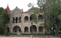 | Capt. Charles Schreiner Mansion | building | 1975 | 75001997 |
| Tulahteka | building | 1982 | 82004510 | |
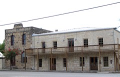 | Woolls Building | building | 2002 | 02000403 |
Drawn when these were printed as single large sheets: the town seen from the air, and the county divided into its farms with every owner named. Each opens the original at the Library of Congress.
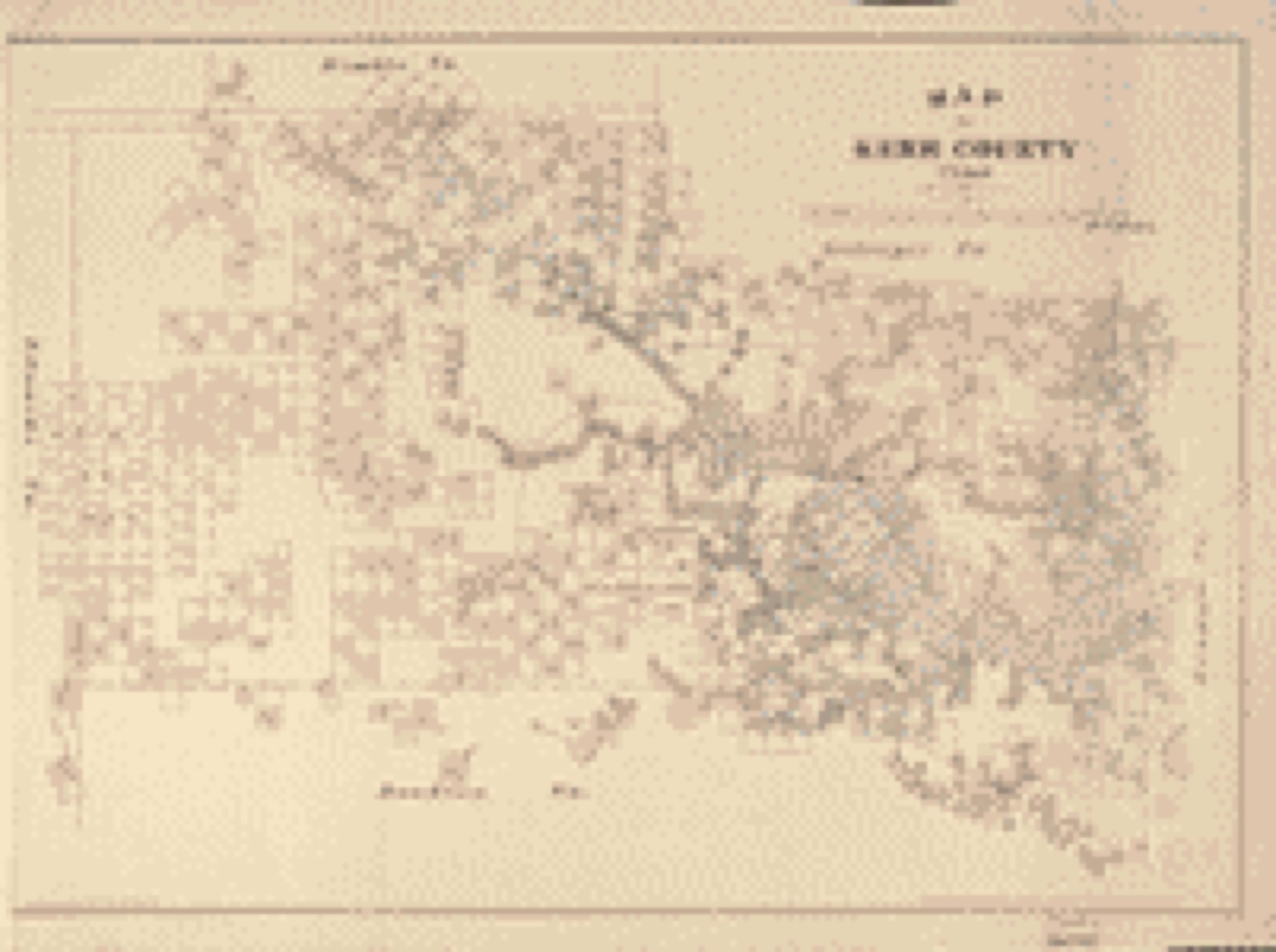
Selected from the Digital Public Library of America's 3 image records catalogued for this county. Every one shown here carries a public-domain status or a licence that permits reuse on a site that carries advertising; non-commercial, share-alike and restricted images are excluded. The selection is spread across the county's towns (at most eight per town), so no single institution's bulk upload crowds out the rest. Each opens the holding library's record, and the complete set at the Digital Public Library of America is one click away.

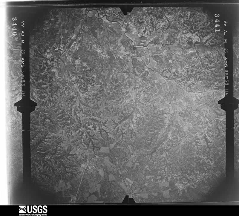
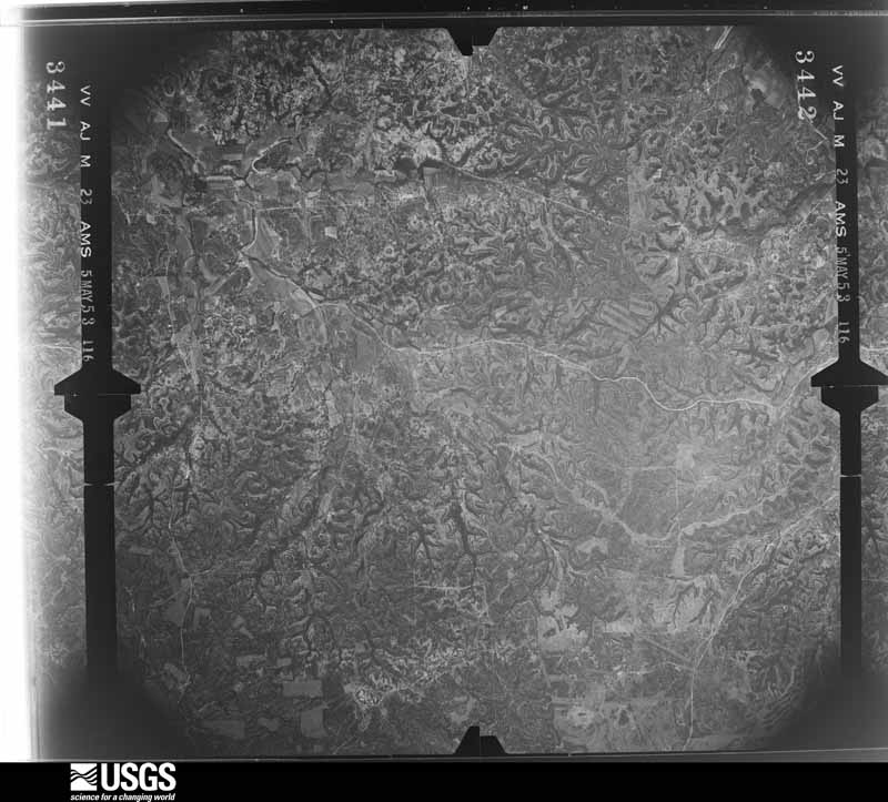
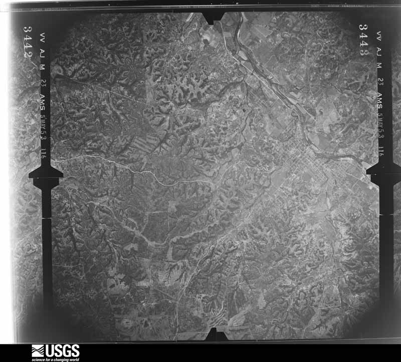
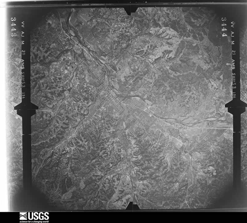
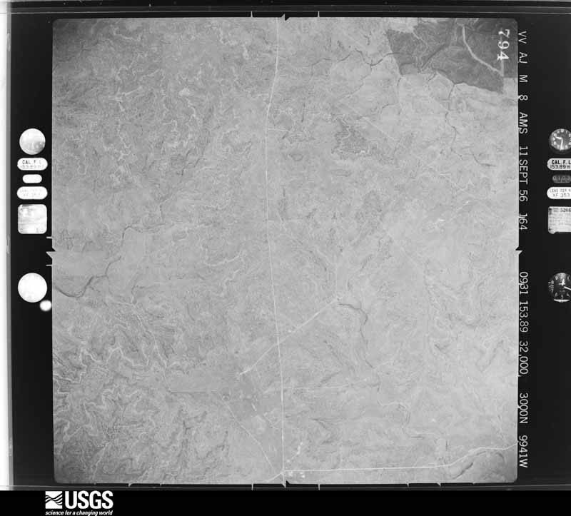
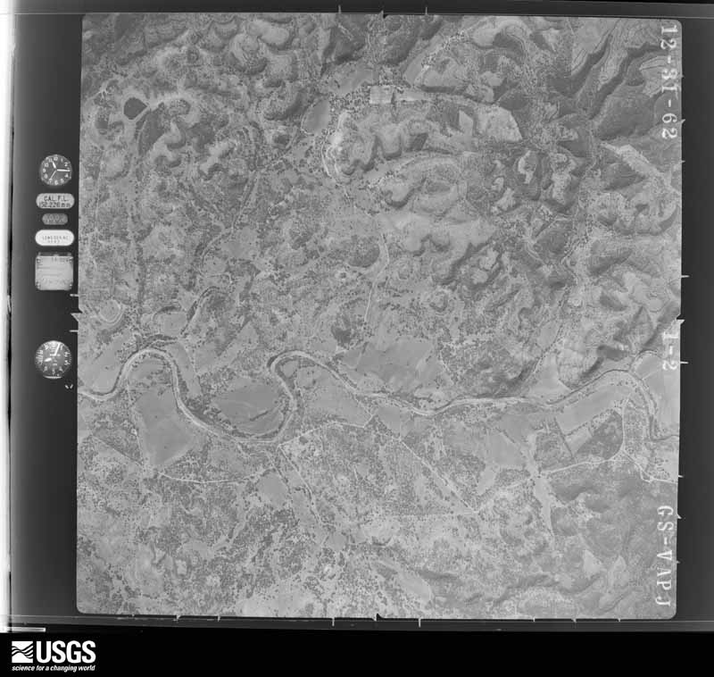
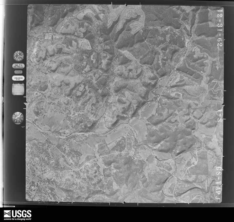
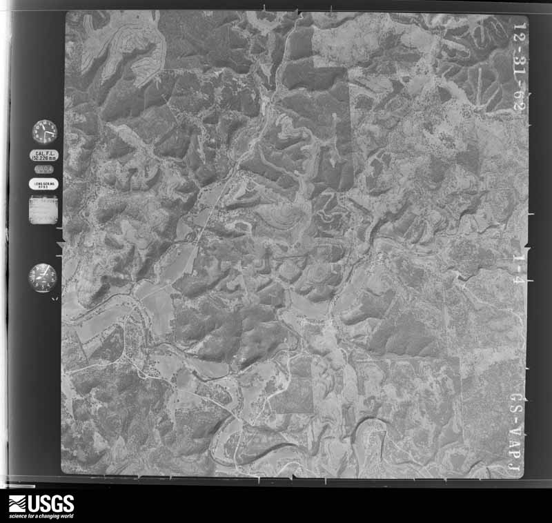
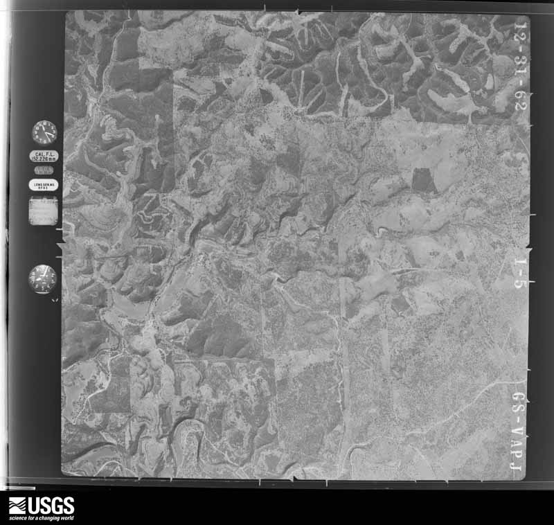
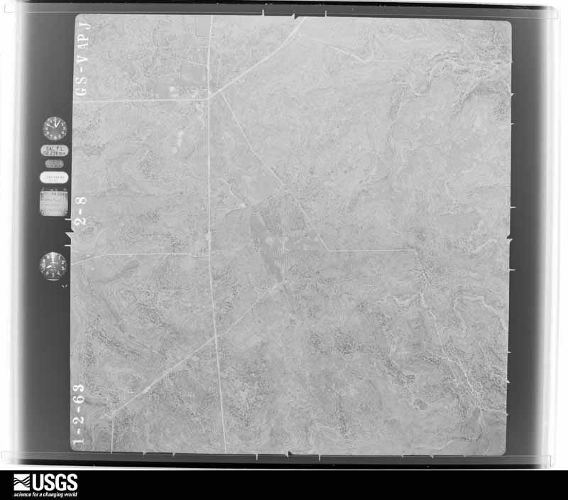
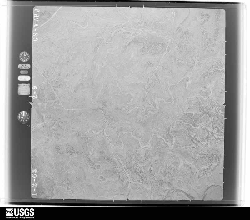
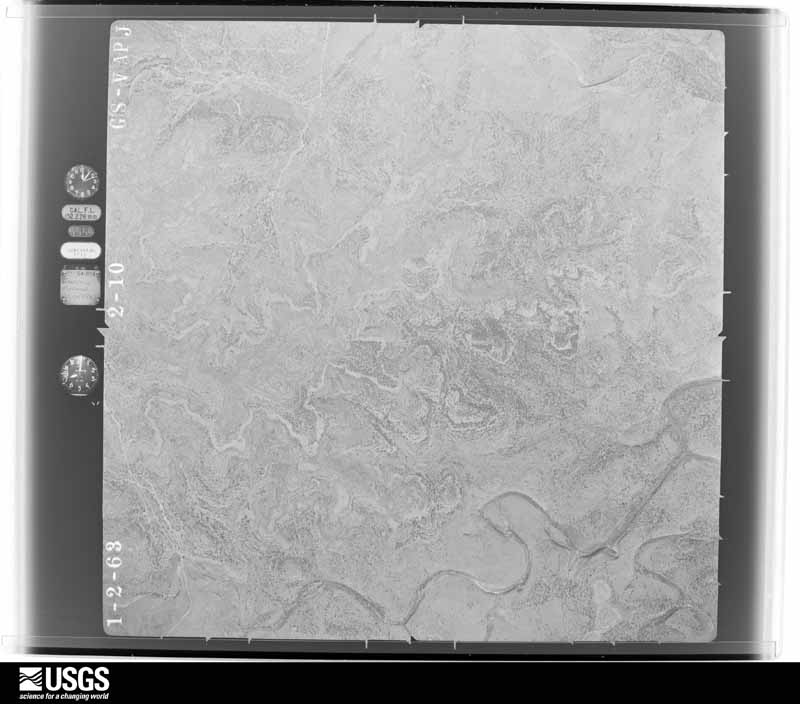
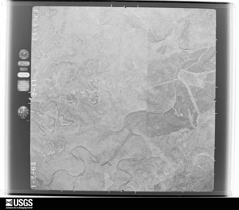
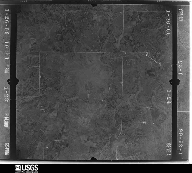
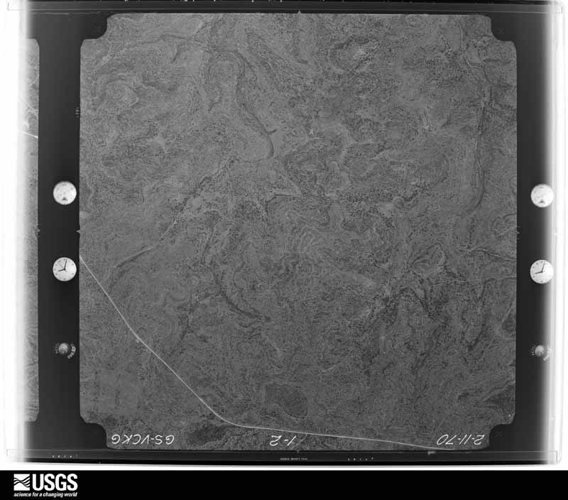
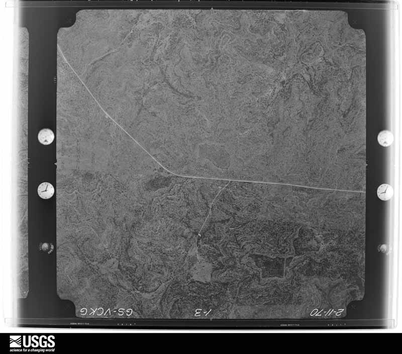
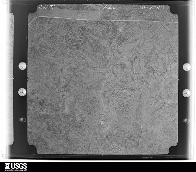
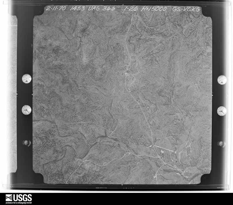
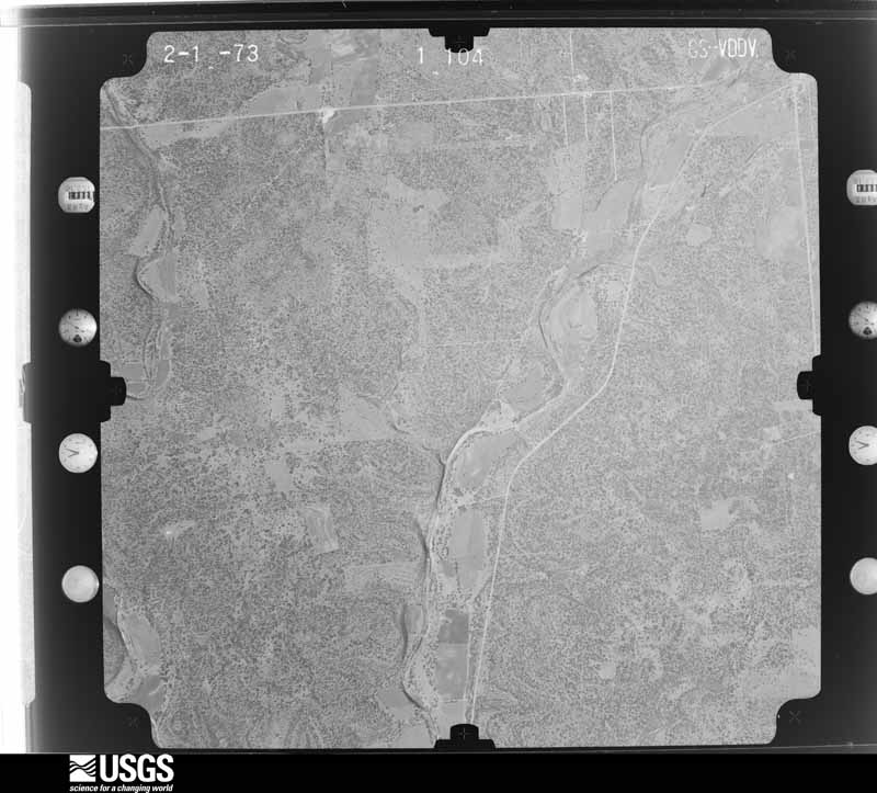
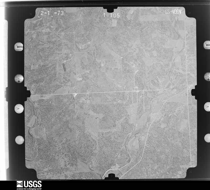
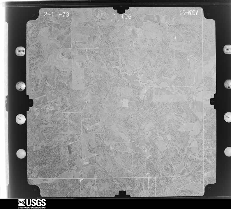
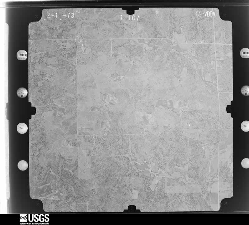
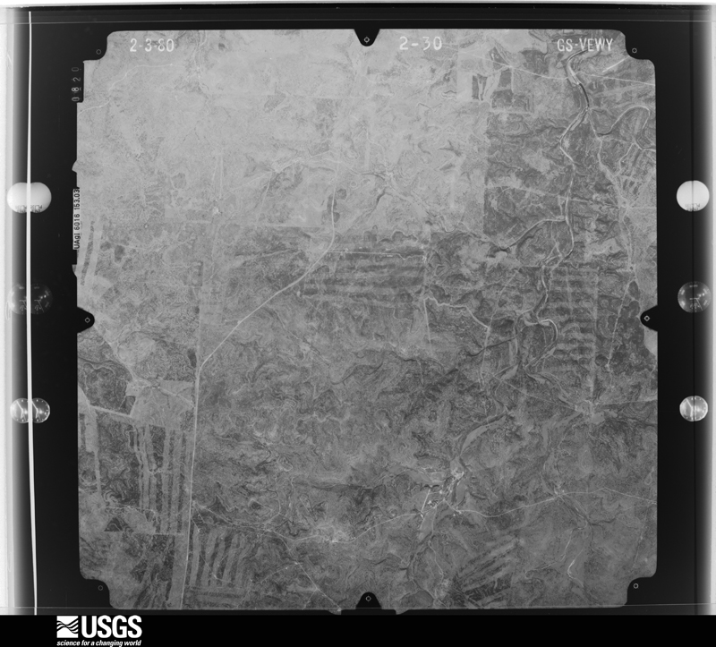
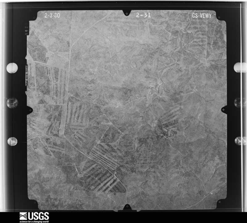
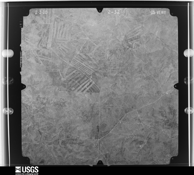
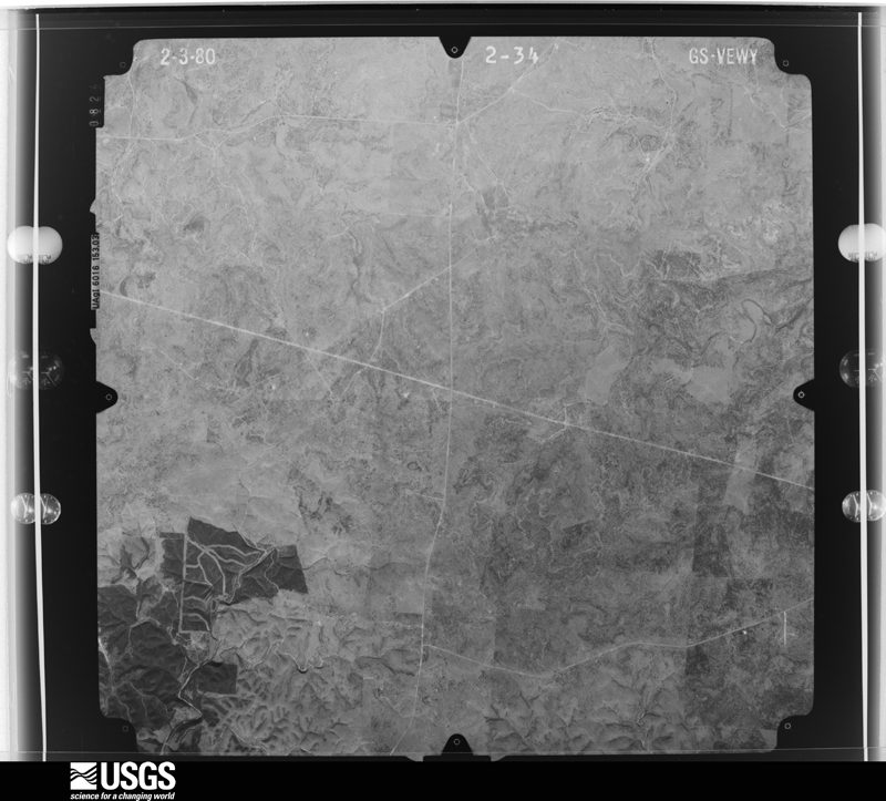
Flown by the U.S. Geological Survey between 1937 and 1989, the Aerial Photo Single Frames collection is the definitive mid-century view of the land: fields, roads and rivers as the camera saw them. The Survey holds 874 frames inside the rectangle that bounds this county; the 30 frames below were taken over the county itself, chosen across the decades of flights (at most four a year from that rectangle), so one flight cannot crowd out the rest. The full set is free to browse and download at EarthExplorer under the dataset Aerial Photo Single Frames.




The thermometers that kept this county's weather, and the gages that measured the flow of its streams, as the federal records hold them. The extremes below are measured values from those records, not estimates.
Who lived here in 1950, one enumeration district at a time, as the Census Bureau described each district. Each row opens its official National Archives result, with Population Schedules and ED Maps available there.
Every wildfire the federal occurrence database records inside this county: 427 of them, burning about 24,814 acres. 27 started naturally and 6 were recorded as arson. Each settlement page carries the fires within five miles of it.
| Reported cause | Fires |
|---|---|
| Debris and open burning | 184 |
| Missing data/not specified/undetermined | 154 |
| Equipment and vehicle use | 31 |
| Natural | 27 |
| Smoking | 8 |
| Misuse of fire by a minor | 7 |
| Recreation and ceremony | 6 |
| Arson/incendiarism | 6 |
| Power generation/transmission/distribution | 4 |
The five largest, by the area the report gives. None of them was recorded as arson.
| Date | Cause | Size | Reported by | Name on the report |
|---|---|---|---|---|
| 7 April 2006 | Smoking | 3,577 acres | Texas A & M Forest Service | GUADALUPE RANCH FIRE |
| 31 January 2008 | Equipment and vehicle use | 3,431 acres | Texas A & M Forest Service | KERR COUNTY COMPLEX |
| 30 June 2015 | Natural | 2,000 acres | Texas A & M Forest Service | YO RANCH LIGHTNING FIRE |
| 23 August 2015 | Natural | 2,000 acres | Texas A & M Forest Service | JACKSON RANCH FIRE |
| 4 September 2000 | Missing data/not specified/undetermined | 1,200 acres | Texas A & M Forest Service | HORIZON |
| 31 January 2008 | Missing data/not specified/undetermined | 1,000 acres | Texas A & M Forest Service | not named |
| 7 May 2008 | Missing data/not specified/undetermined | 924 acres | Texas A & M Forest Service | BYAS SPRINGS |
| 7 May 2008 | Missing data/not specified/undetermined | 800 acres | Texas A & M Forest Service | not named |
Every settlement page carries the fires within five miles of it - see the settlement index below.
The NOAA Storm Events Database holds 405 reports for this county, causing 118 deaths, 18 injuries and about $203,978,000 in recorded property damage. Each settlement page carries the reports that name it.
| Kind of event | Reports |
|---|---|
| Hail | 245 |
| Flash Flood | 99 |
| Thunderstorm Wind | 46 |
| Tornado | 11 |
| Flood | 3 |
| Heavy Rain | 1 |
The most serious of them, by death, then injury, then recorded damage. The accounts are quoted exactly as the forecast office filed them.
| When | Event | Place named | Harm | What the report says |
|---|---|---|---|---|
| July 2025 | Flash Flood | Hunt | 61 killed, $200,000,000 | There was catastrophic and deadly flash flooding along the South Fork Guadalupe River after around ten inches of rain fell in approximately four hours. On Hwy 39 the debris started at the confluence of Mullen Creek and South Fork Guadalupe River. The South Fork Guadalupe River topped the Hwy 39 bridge west of Auld Rd. S. and the high-water mark was 23.77 feet above the river. Five feet of water damaged the bottom floor of the River Inn and Resort. There were large sections of the exterior walls removed by water. Water reached 7.5 feet in a house along Hwy 39 which destroyed the building. Water reached the Hunt Volunteer Fire Department station on Fisher Ranch Rd. 400 feet from the river. Heart Othe Hills Camp and many houses nearby were demolished. There was major damage to Criders Rodeo and Dance Hall. Several homes near Hwy 39 and Rustic Hill Rd. were wiped off their foundations. The Hunt Post Office and the Hunt Store were destroyed. The first floor of a house near the confluence of the North and South Fork flooded and the residents sheltered on the second floor. Another nearby house had only one floor, and the homeowner escaped and floated on a mattress until rescued by a helicopter. Debris damaged the Hwy 39 bridge over the river in Hunt. The river gage at Hunt was destroyed, and the USGS estimated the river crested at a record 37.51 feet. Sixty-one people died in the flood along this stretch of the river, and one was still missing. Twenty-seven of the fatalities were at Camp Mystic, a summer camp for girls, including the owner of the camp, two counselors, and 25 girls ages 8-10 years old. There were 12 fatalities at the Casa Bonita neighborhood where a number of homes were washed away. Most the other fatalities were in homes along the river that were washed away. One man had helped his family escape their house through a bedroom window, but was not able to make it out himself. One person was in a vehicle trying to escape the flood water, but was washed away. Across Kerr County damage to public property and infrastructure was estimated to be $200 million. There was no damage estimate for private property. County officials estimated 2,000 structures were damaged. |
| July 2025 | Flash Flood | Hunt | 45 killed | There was catastrophic and deadly flash flooding along the Guadalupe River after around ten inches of rain fell in approximately four hours over the headwaters of the river. The flood wave moved downstream from Hunt to Kerrville. An NWS Flood Survey team found water in some houses along the Guadalupe downstream of Hunt reached eight feet. Numerous homes were flooded in the Bumble Bee Hills subdivision. Water reached as high as 5.5 feet in houses. The Cade Loop bridge over the Guadalupe was shifted by flood water. The guardrail and roadway of the Indian Creek Rd. bridge were damaged. The guardrail was torn away as were pieces of the roadway. Two RV parks and campgrounds in Ingram were wiped away by flood water. There were 46 people killed by flood waters, and one person was still missing. All of the fatalities along this stretch of the river were in the Ingram area and most of them were from the RV parks. One man died when he severed an artery breaking a window to help his family escape their flooded house. Across Kerr County damage to public property and infrastructure was estimated to be $200 million. There was no damage estimate for private property. County officials estimated 2,000 structures were damaged or destroyed. |
| July 2025 | Flash Flood | Center Pt | 10 killed | There was catastrophic and deadly flash flooding along the Guadalupe River after around ten inches of rain fell in approximately four hours over the headwaters of the river. The flood wave moved downstream from Kerrville to the Kendall County line. In Kerrville, most of the homes on Loop 13 were flooded, debris damaged the guardrail on the G St. bridge, and an apartment complex and cottages along G St. E. were damaged or destroyed by flood water. Water reached 6.5 feet inside the Center Point VFD station on Kelly St. 700 feet from the river. Ten people died in the flooding along this part of the river, and one was still missing. Most of the fatalities were people in homes that were flooded. One person was a vehicle that it is believed was swept off a bridge in Center Point. The vehicle was found a few miles downstream of the bridge. Across Kerr County damage to public property and infrastructure was estimated to be $200 million. There was no damage estimate for private property. County officials estimated 2,000 structures were damaged. |
| April 2010 | Flash Flood | Hunt | 1 killed, $20,000 | Flood waters swept a truck off FM 1340 resulting in a fatality. A local resident of Hunt was headed home from a local school board meeting when he tried to cross a low water crossing. By the time rescuers responded he was apparently swept downstream and drowned. His body was discovered several days later about a mile downstream at another low water crossing. |
| November 2000 | Flash Flood | Countywide | 1 killed, $15,000 | no account filed |
| March 1976 | Tornado (F1) | not stated | 8 hurt, $250,000 | no account filed |
| July 1990 | Tornado (F0) | not stated | 6 hurt | no account filed |
| May 1995 | Tornado (F2) | Mountain | 2 hurt, $30,000 | The tornado blew cars off Interstate 7 as it moved northeastward from near Mountain Home. It destroyed a grain elevator and a mobile home. The two occupants of the mobile home sustained minor injuries. Hail was reported up to three inches deep along roadsides. |
| October 1996 | Flash Flood | Countywide | 2 hurt, $5,000 | no account filed |
| May 2020 | Thunderstorm Wind | Kerrville | $1,000,000 | An NWS damage survey concluded a microburst hit the city of Kerrville at approximately 8:00-8:10 PM CDT. The highest estimated wind speeds of 70-80 mph occurred on the west side of Kerrville just up the hill from Peterson Hospital on Rimrock Rd. There was roof damage to several homes on Rimrock Rd. where the backyards faced west and wind came up the hill and took off porches and roofs. Throughout that neighborhood there was substantial tree damage, many of the trees snapped or uprooted. The swatch of significant wind damage was well over one mile wide and continued southeast into the area off Ranchero Rd. Hail accompanied the strong microburst as evident by trees stripped of leaves and piles of hail still on the ground nearly 24 hours later. The microburst and wind damage was also seen farther southeast between Hwy 16 and Hwy 689 in a neighborhood just west of Kerrville-Schreiner Park. Other wind damage was reported across the city of Kerrville but was not as significant. Estimates of damage are placed near 1 million dollars from the multiple homes that were damaged by the wind, roof and shingle damage from the wind and hail, and the downing of hundreds of trees that were blown down or damaged. |
| October 2001 | Thunderstorm Wind | Kerrville | $500,000 | Severe thunderstorm winds caused widespread damage in and around the city of Kerrville. Five aircraft were also damaged or destroyed at the Kerrville Airport. |
| June 1994 | Thunderstorm Wind | Countywide | $500,000 | Residents of Kerrville reported a dark green color to the clouds as the thunderstorm approached. The storm produced a small tornado that was very short-lived. No significant damage was attributed to the tornado. However, gusts from the thunderstorm estimated at over 70 mph blew over numerous trees and damaged roofs. The worst damage occurred in the east part of Kerrville, near Shreiner College. Over 20 large trees were felled at the school, with another 30 severely damaged. The metal roof of the library was peeled back. Wind-blown debris broke windows and damaged walls of the library. The storm also blew down several power lines, knocking out power to near 12,000 homes. Six of the 7 public utility substations were damaged by the storm. Hail damage was generally confined to roofs and windows of homes and windows of automobiles. |
| August 2007 | Flash Flood | Center Pt | $200,000 | The extremely heavy rainfall associated with the remains of Tropical Storm Erin moved into Kerr County in the afternoon. A general 3 to 5 inch rainfall was indicated across the northeast part of the county, with up to 8 inches falling north of Center Point. Most roads and bridges in northeast Kerr County were closed due to flash flooding. Two women were turning onto Town Creek Road when their vehicle became stalled in high water, then swept into Town Creek and finally lodged in some trees about 50 years from the bridge and 30 yards from the banks of the creek. Fire and rescue personnel were only able to get them to safety by forming a human chain in the flood waters and then pulling them to safety. |
| May 2020 | Thunderstorm Wind | Legion | $100,000 | A thunderstorm produced wind gusts estimated at 80 mph. Mobile homes were blown away from their locations and power lines and trees were blown down. |
| March 2005 | Thunderstorm Wind | Mountain Home | $100,000 | Severe thunderstorm winds struck the Mountain Home area, causing major damage to the roof of the Hill Country Opry House. |
| June 1997 | Flash Flood | Countywide | $100,000 | no account filed |
| June 2003 | Thunderstorm Wind | Hunt | $80,000 | Thunderstorm wind gusts estimated at between 55 and 65 knots blew down trees and power lines in the Ingram area. Three hundred homes were without power early Wednesday morning. |
| October 2002 | Flash Flood | Countywide | $80,000 | Scattered thunderstorms from evening into the following morning produced general 2 inch rainfall over the county, with widespread amounts to 3 inches and isolated totals to 5 inches. The Kerr County Sheriff's Department reported numerous roads across the county closed from late evening through noon on October 8. |
| February 1997 | Flash Flood | Countywide | $75,000 | no account filed |
| May 2025 | Thunderstorm Wind | (Erv)Schreiner Fld K | $50,000 | A thunderstorm produced wind gusts estimated at 70 mph that collapsed a roof that was under construction at a rodeo venue north of Camp Verde. |
| October 2002 | Flash Flood | Countywide | $50,000 | Showers and thunderstorms moved into Atascosa County from the west just before sunrise and continued until near noon. General rainfall amounts were between 1 and 2 inches, with widespread 3 inch amounts. Heaviest amounts were near 5 inches in the extreme northern part of the County. Damage was reported to be widespread over the roads and bridges in the northern part of the County. |
| November 2001 | Flash Flood | Countywide | $50,000 | Rainfall also reformed over Kerr County in the early morning hours. Rain totals, including the previous night, were approached 4 inches in the southwest part of the county by 0600 CST. As a result, flash flooding continued from just before sunrise into the early afternoon. Roads were closed over the county. Most damage was reported to be associated with bridges and unimproved roads. |
| June 1994 | Tornado (F0) | Kerrville | $50,000 | Residents of Kerrville reported a dark green color to the clouds as the thunderstorm approached. The storm produced a small tornado that was very short-lived. No significant damage was attributed to the tornado. However, gusts from the thunderstorm estimated at over 70 mph blew over numerous trees and damaged roofs. The worst damage occurred in the east part of Kerrville, near Shreiner College. Over 20 large trees were felled at the school, with another 30 severely damaged. The metal roof of the library was peeled back. Wind-blown debris broke windows and damaged walls of the library. The storm also blew down several power lines, knocking out power to near 12,000 homes. Six of the 7 public utility substations were damaged by the storm. Hail damage was generally confined to roofs and windows of homes and windows of automobiles. |
| June 1994 | Hail | Kerrville | $50,000 | Residents of Kerrville reported a dark green color to the clouds as the thunderstorm approached. The storm produced a small tornado that was very short-lived. No significant damage was attributed to the tornado. However, gusts from the thunderstorm estimated at over 70 mph blew over numerous trees and damaged roofs. The worst damage occurred in the east part of Kerrville, near Shreiner College. Over 20 large trees were felled at the school, with another 30 severely damaged. The metal roof of the library was peeled back. Wind-blown debris broke windows and damaged walls of the library. The storm also blew down several power lines, knocking out power to near 12,000 homes. Six of the 7 public utility substations were damaged by the storm. Hail damage was generally confined to roofs and windows of homes and windows of automobiles. |
| March 1993 | Thunderstorm Wind | Kerrville | $50,000 | Thunderstorm winds heavily damaged a large sign at the Mall and knocked down a few power lines in the area. |
| October 2000 | Flash Flood | East Portion | $50,000 | no account filed |
| June 1996 | Thunderstorm Wind | Kerrville | $50,000 | no account filed |
| April 2010 | Flash Flood | Hunt | $30,000 | A slow moving thunderstorm produced heavy rain and flooding which washed a vehicle off Hwy 39 southwest of Hunt. A family was rescued from their van which was washed off the road. |
| June 2003 | Thunderstorm Wind | Kerrville | $30,000 | The Kerrville Fire Department reported that severe thunderstorm winds blew down several trees and a many large limbs in the Kerrville area. |
| August 2001 | Flash Flood | East Portion | $30,000 | no account filed |
| September 2001 | Flash Flood | Countywide | $30,000 | no account filed |
| June 1996 | Hail | Ingram | $30,000 | no account filed |
| March 1998 | Flash Flood | Countywide | $25,000 | no account filed |
| November 1959 | Tornado (F2) | not stated | $25,000 | no account filed |
| October 2003 | Flash Flood | West Portion | $20,000 | The showers and thunderstorms that had first developed in Val Verde County and had spread across Edwards County through the afternoon finally reached Kerr County in the early evening. They crossed the county in the evening hours, producing general 1 to 2 inch totals with isolated amounts to 4 inches between Hunt and Mountain Home. Numerous county roads were closed over the northern part of the county through the evening. Damage was reported to roads and bridges. |
| November 2000 | Flash Flood | East Portion | $20,000 | no account filed |
| November 2000 | Flash Flood | Countywide | $20,000 | no account filed |
| October 1998 | Flash Flood | East Portion | $20,000 | no account filed |
| March 1997 | Flash Flood | Eastern Part | $20,000 | no account filed |
| May 2001 | Flash Flood | East Portion | $15,000 | no account filed |
| July 2024 | Flash Flood | Legion | $10,000 | Thunderstorms produced heavy rain that led to flash flooding. The Kerr County Emergency Manager reported flooding along Turtle Creek west of Kerrville. There was a car stuck in high water. |
| February 2003 | Flash Flood | Countywide | $10,000 | County roads were closed through the early morning hours as scattered showers and thunderstorms brought general 1 to 2 inch rainfall to the county. Isolated totals to 4 inches were reported. The rains fell on already saturated soils, increasing the flash flooding. |
| June 2002 | Flash Flood | East Portion | $10,000 | General 3 to 4 inch rainfall totals with isolated amounts of up to 8 inches. |
| June 2002 | Flash Flood | Kerrville | $10,000 | Amateur radio operators reported nearly 2 inches of rain falling in less than 30 minutes in the Kerrville area. As a result, low water crossings were flooded for almost two hours. |
| May 2000 | Flash Flood | Countywide | $10,000 | Rainfall of up to 3 inches in just under two hours produced very brief flash flooding over much of the county. Several roads were closed due to the high water. |
| May 2000 | Flash Flood | Kerrville | $10,000 | Rainfall accumulations in the Kerrville area of nearly 3 inches in one hour caused very brief flash flooding in the city. |
| November 2000 | Flash Flood | West Portion | $10,000 | no account filed |
| May 1999 | Flash Flood | Countywide | $10,000 | no account filed |
| August 1998 | Flash Flood | Countywide | $10,000 | no account filed |
| August 1998 | Flash Flood | Countywide | $10,000 | no account filed |
| October 1998 | Flash Flood | Countywide | $10,000 | no account filed |
| May 1997 | Flash Flood | Countywide | $10,000 | no account filed |
| July 2022 | Thunderstorm Wind | Mountain Home | $5,000 | A thunderstorm produced wind gusts estimated at 60 mph that tore some shingles off a roof and broke some tree limbs north of Mountain Home. |
| April 2017 | Thunderstorm Wind | Camp Verde | $5,000 | A thunderstorm produced wind gusts estimated at 75 mph that snapped and uprooted trees in Camp Verde. |
| April 2003 | Flash Flood | West Portion | $5,000 | 2 inches of rain over soils that were still very wet from recent rainfall produced brief flash flooding across the western portion of the county. Minor damage was reported to roads. |
| June 2003 | Flash Flood | East Portion | $5,000 | A line of showers and thunderstorms formed along a late-season cold front and moved into the Texas Hill Country in the late afternoon. The storms produced rainfall amounts over eastern Kerr County that averaged from 1 to 2 inches, with totals between 3 and 4 inches near Center Point. Flash flooding was reported between Center Point and Comfort in the early evening. |
| August 2003 | Flash Flood | Southwest Portion | $5,000 | The late season cold front that had moved into South Central Texas from the north on August 8 slowed and stalled across the area on August 9. Scattered showers and thunderstorms redeveloped in the morning and continued into the afternoon. Although rainfall rates were not excessive the duration of the rain produced general 1 to 2 inch amounts over the area with up to 4 inch totals in the southwest. Brief flash flooding developed in the late afternoon. |
| June 1994 | Hail | Ingram | $5,000 | Residents of Kerrville reported a dark green color to the clouds as the thunderstorm approached. The storm produced a small tornado that was very short-lived. No significant damage was attributed to the tornado. However, gusts from the thunderstorm estimated at over 70 mph blew over numerous trees and damaged roofs. The worst damage occurred in the east part of Kerrville, near Shreiner College. Over 20 large trees were felled at the school, with another 30 severely damaged. The metal roof of the library was peeled back. Wind-blown debris broke windows and damaged walls of the library. The storm also blew down several power lines, knocking out power to near 12,000 homes. Six of the 7 public utility substations were damaged by the storm. Hail damage was generally confined to roofs and windows of homes and windows of automobiles. |
| November 1994 | Hail | Kerrville | $5,000 | Reported by the police department. |
| June 1994 | Hail | Kerrville | $5,000 | Residents of Kerrville reported a dark green color to the clouds as the thunderstorm approached. The storm produced a small tornado that was very short-lived. No significant damage was attributed to the tornado. However, gusts from the thunderstorm estimated at over 70 mph blew over numerous trees and damaged roofs. The worst damage occurred in the east part of Kerrville, near Shreiner College. Over 20 large trees were felled at the school, with another 30 severely damaged. The metal roof of the library was peeled back. Wind-blown debris broke windows and damaged walls of the library. The storm also blew down several power lines, knocking out power to near 12,000 homes. Six of the 7 public utility substations were damaged by the storm. Hail damage was generally confined to roofs and windows of homes and windows of automobiles. |
The Survey's mineral resources record lists 2 workings inside this county. All of them still produce. Each settlement page carries the workings within five miles of it.
| Commodity | Workings |
|---|---|
| Sand and Gravel, Construction | 2 |
The least common of them first, because a county's hundredth gravel pit says nothing its first ten did not.
| Where | Site | Commodity | Status | Recorded |
|---|---|---|---|---|
| Ingram Pit | Sand and Gravel, Construction | Producer | ||
| Sand Pit | Sand and Gravel, Construction | Producer |
Named settlements recorded in the Geographic Names Information System, each with the topographic sheets covering it. Villages, hamlets and abandoned places alike. Each is shown with the nearest named watercourse or landform and the survey quadrangle it falls on.
Center Point census division · 78010 · On Mico Creek · Center Point quadrangle
9 sheets, 1954 to 1985
Center Point census division · 78010 · On Steel Creek · Center Point quadrangle
9 sheets, 1954 to 1985
Kerrville census division · 78028 · Near Lazy Valley · Cypress Creek quadrangle
13 sheets, 1894 to 1985
Kerrville census division · 78028 · On Third Creek · Center Point quadrangle
9 sheets, 1954 to 1985
Ingram census division · 78024 · On South Fork Guadalupe River · Hunt quadrangle
13 sheets, 1894 to 1985
Ingram census division · 78025 · On Johnson Creek · Kerrville quadrangle
13 sheets, 1894 to 1985
Kerrville census division · 78028 · On Town Creek · Kerrville quadrangle
13 sheets, 1894 to 1985
Kerrville census division · 78028 · On Camp Meeting Creek · Legion quadrangle
12 sheets, 1894 to 1985
Kerrville census division · 78028 · On East Town Creek · Kerrville quadrangle
13 sheets, 1894 to 1985
Ingram census division · 78058 · Near Rough Hollow · Contrary Creek quadrangle
11 sheets, 1894 to 1985
Kerrville census division · 78028 · On Silver Creek · Center Point quadrangle
9 sheets, 1954 to 1985
Ingram census division · 78024 · Boneyard Draw quadrangle
8 sheets, 1954 to 1985