 Block
BlockFrom the record
4 National Register listings published here.
Sources: the National Register database, National Park Service
80 topographic sheets cover 90 settlements here, and 4 properties are on the National Register of Historic Places.
4 National Register listings published here.
Sources: the National Register database, National Park Service
Every property in this county listed on the National Register of Historic Places, with the year it was listed and the federal nomination document.
| Photograph | Property | Type | Listed | Reference |
|---|---|---|---|---|
| Thomas Jefferson Chambers House | building | 2011 | 11000156 | |
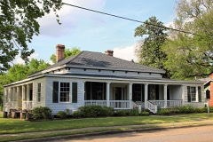 | Cleveland-Partlow House | building | 1984 | 84001907 |
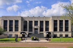 | Liberty County Courthouse | building | 2002 | 02001514 |
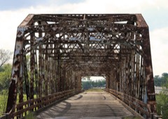 | State Highway 3 Bridge at the Trinity River | structure | 1996 | 96001114 |
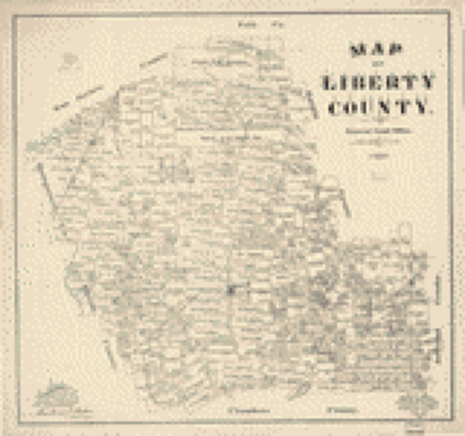
Drawn when these were printed as single large sheets: the town seen from the air, and the county divided into its farms with every owner named. Each opens the original at the Library of Congress.
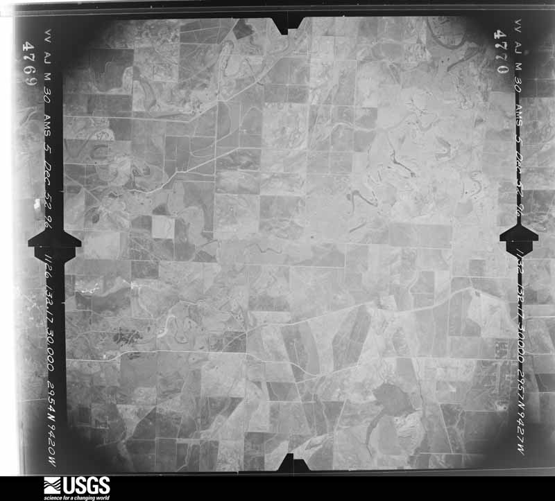
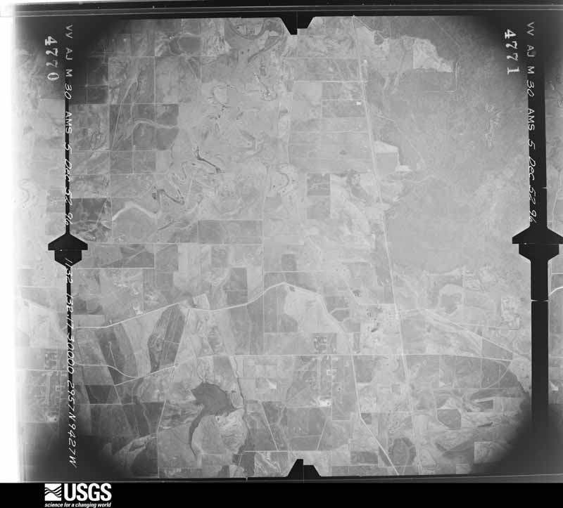
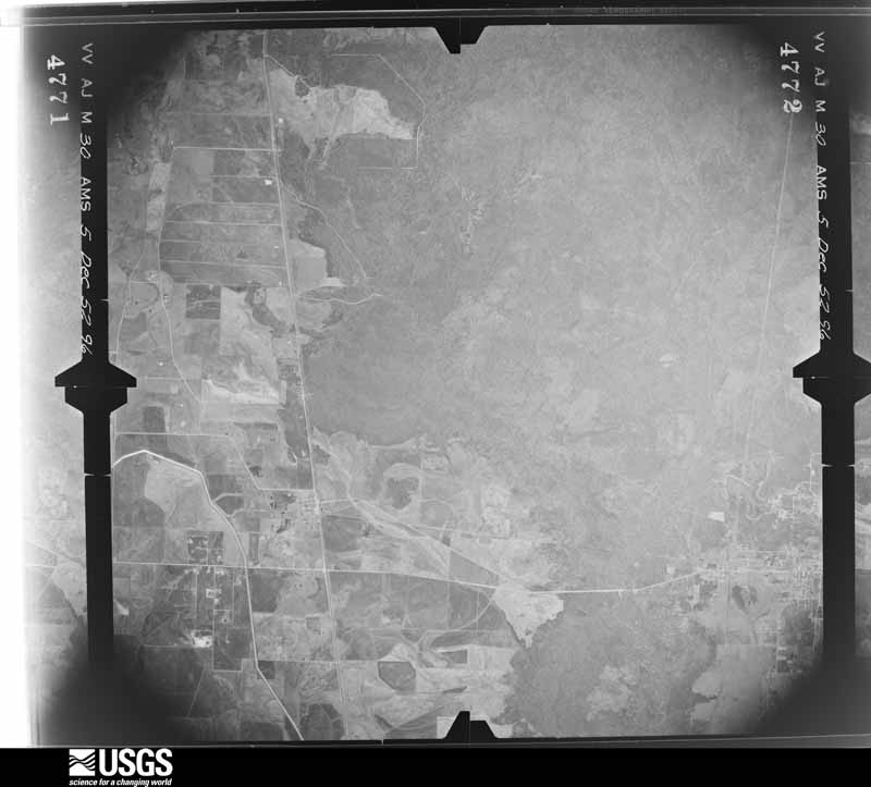
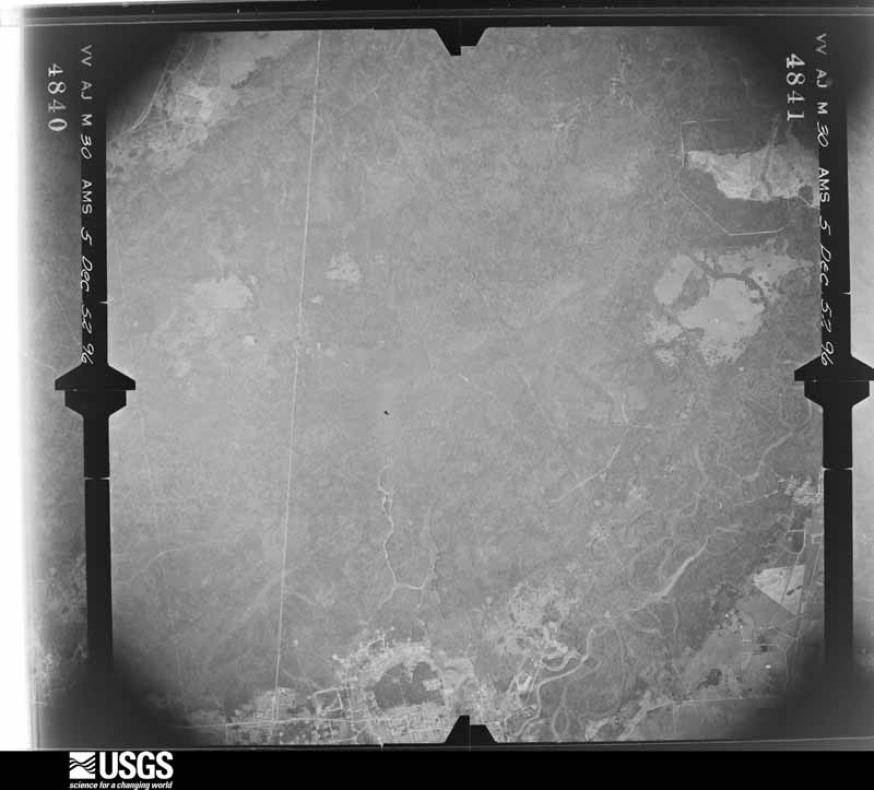
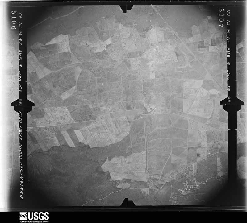
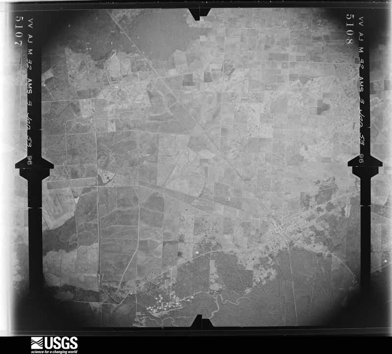
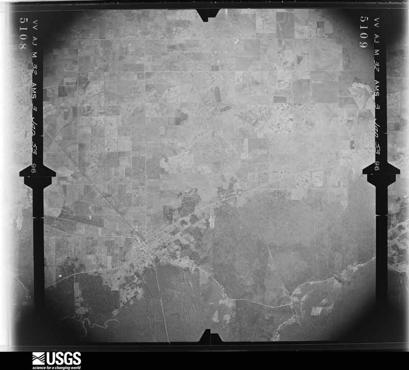
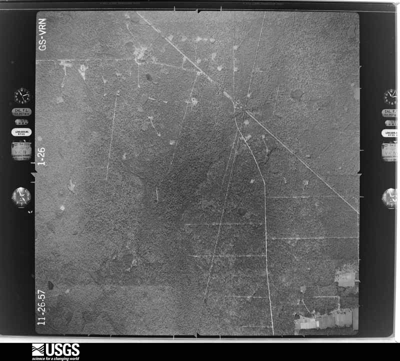
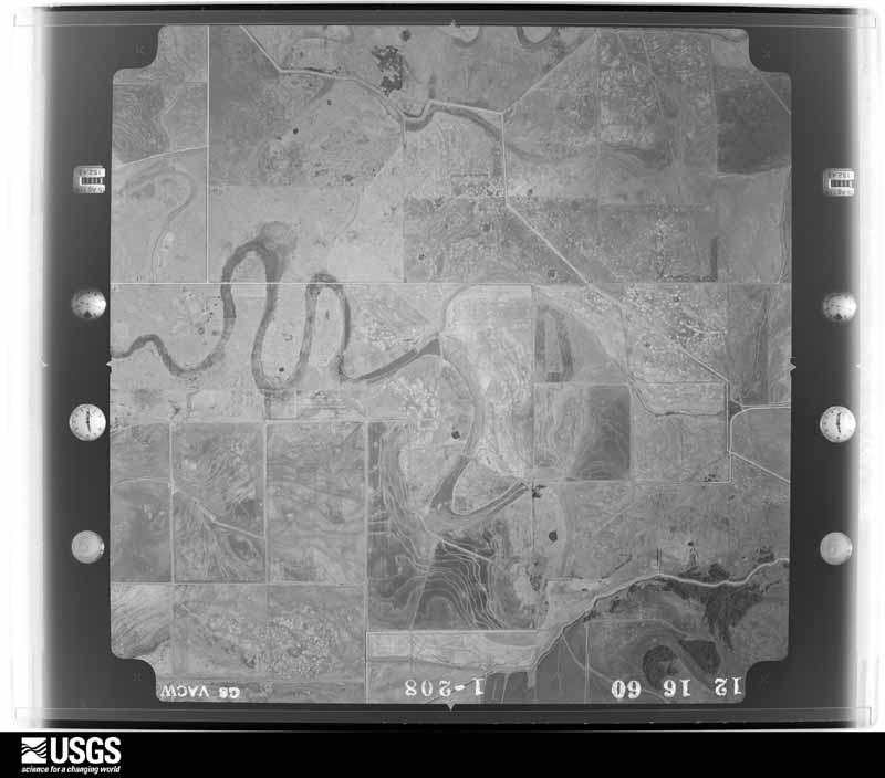
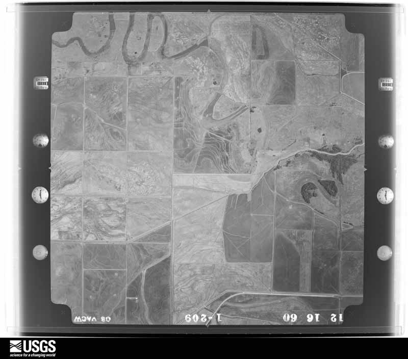
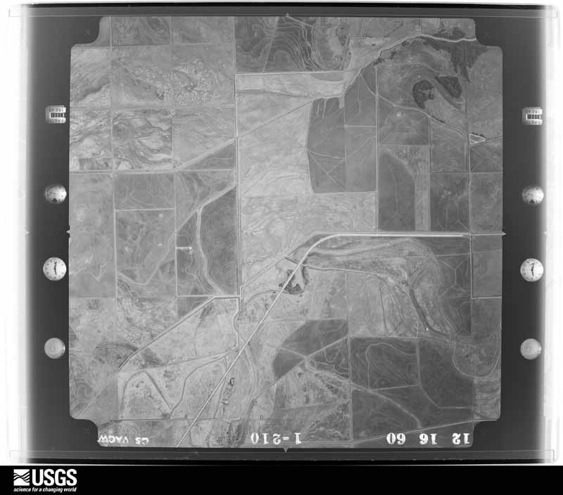
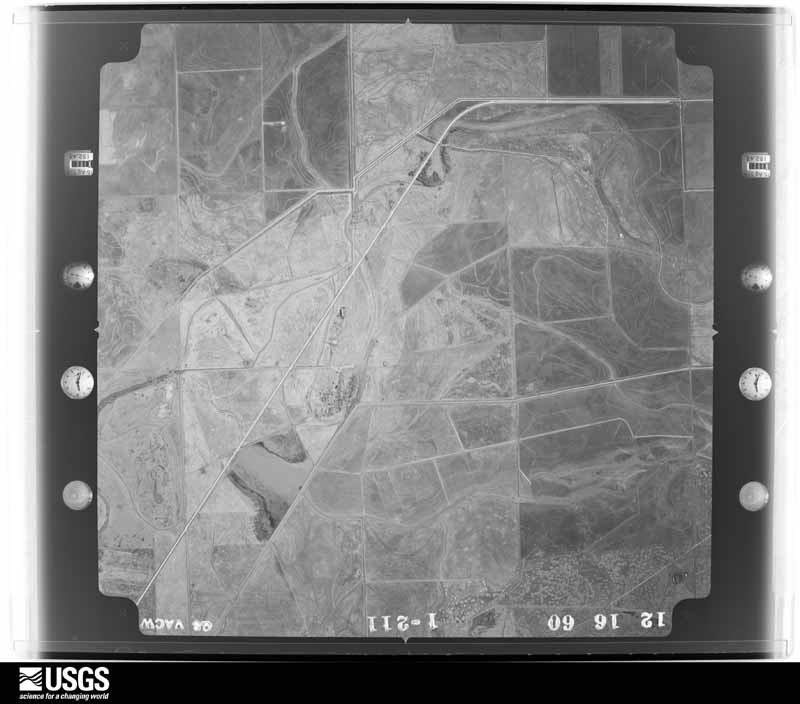
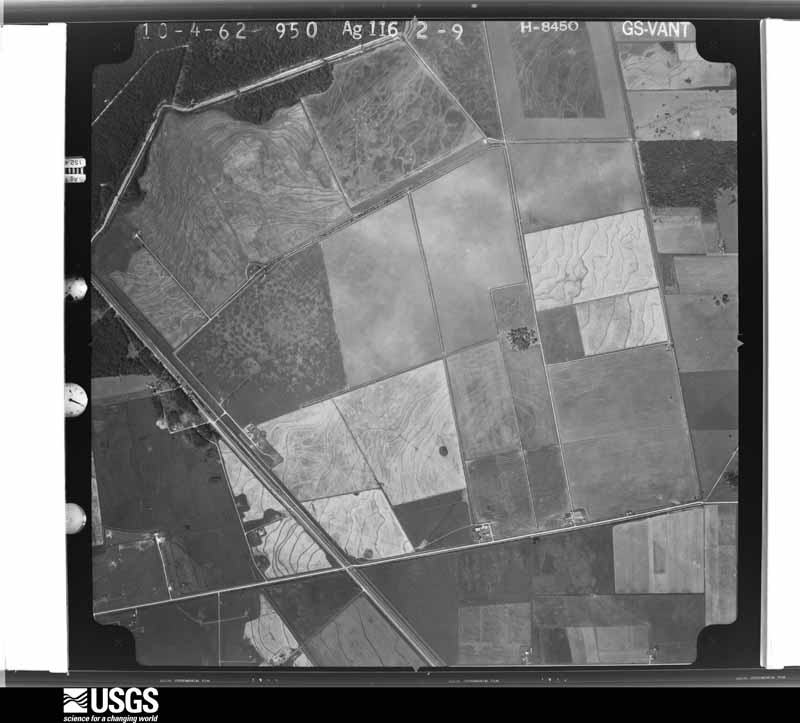
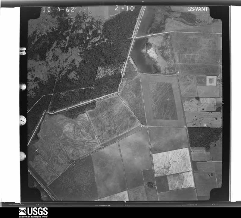
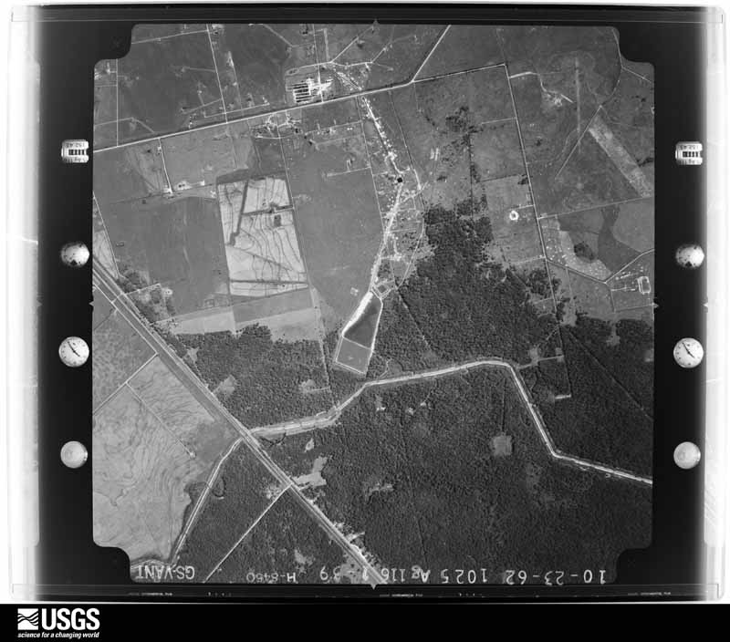
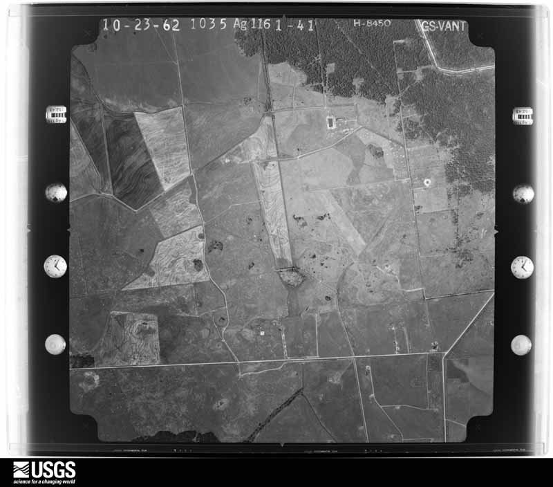
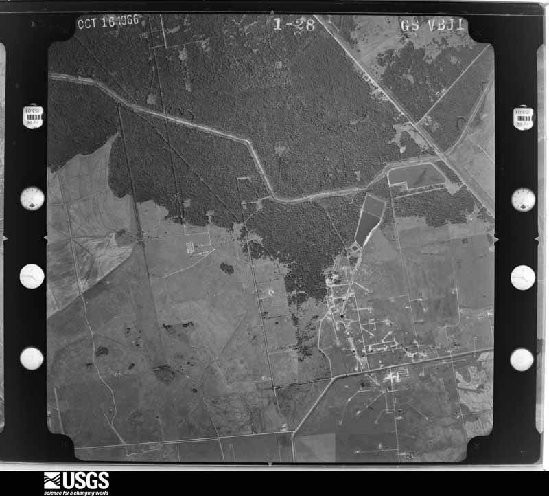
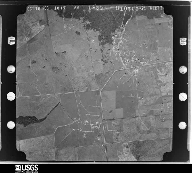
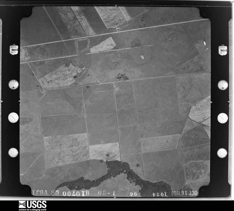
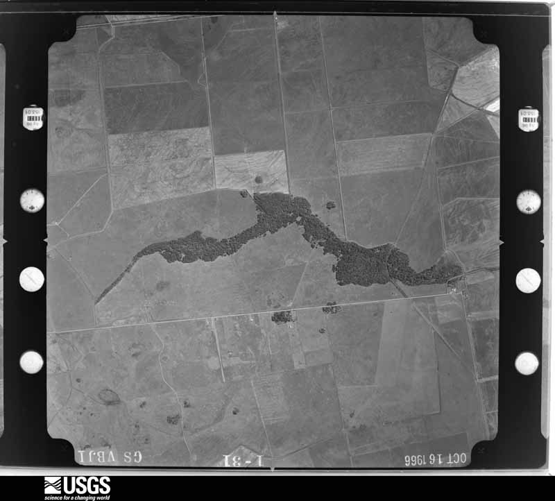
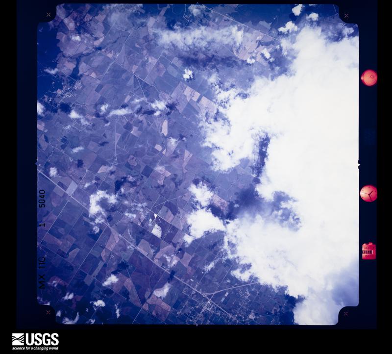
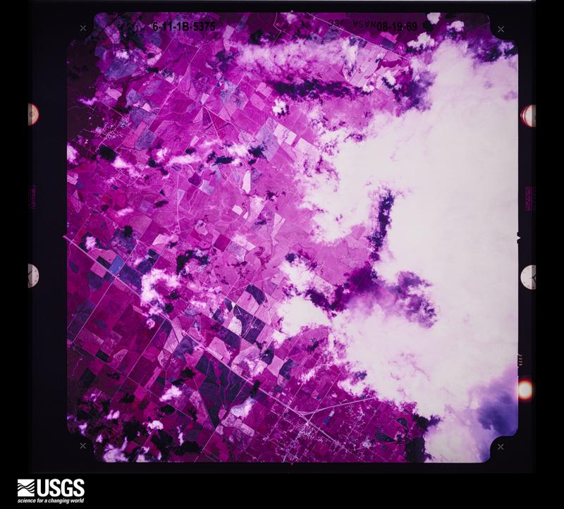
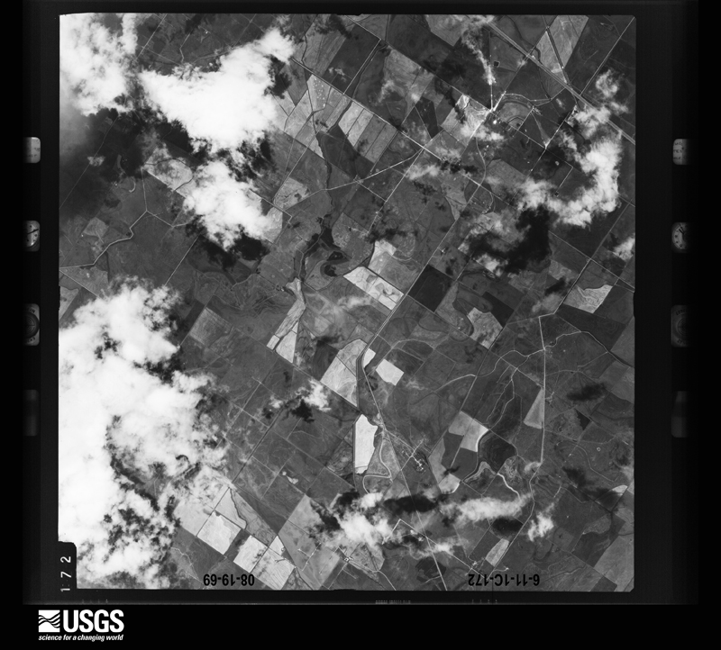
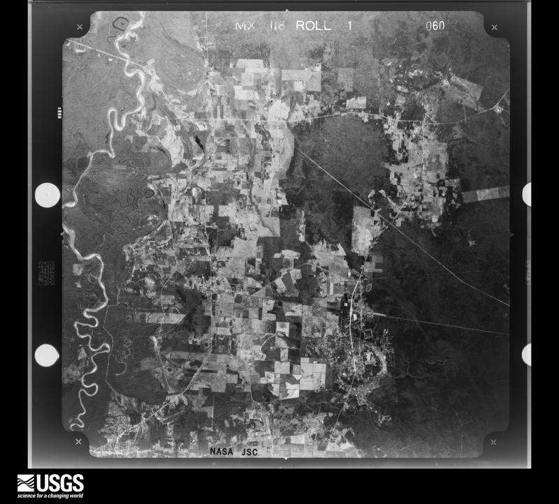
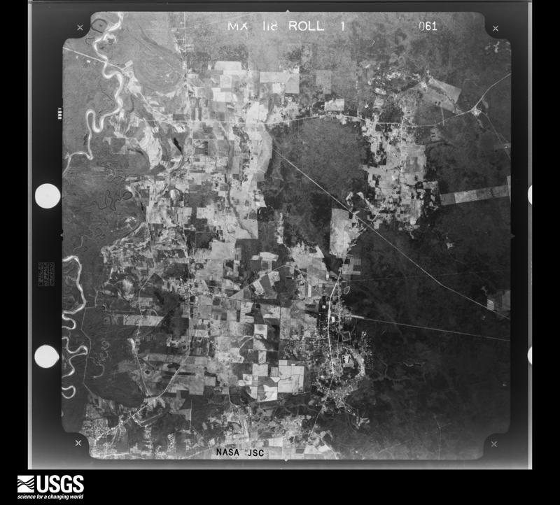
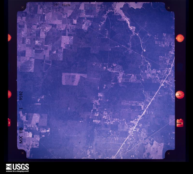
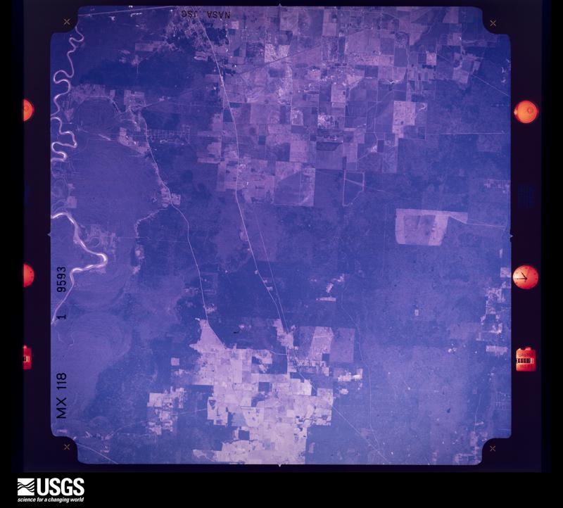
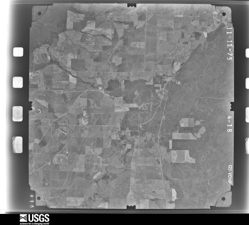
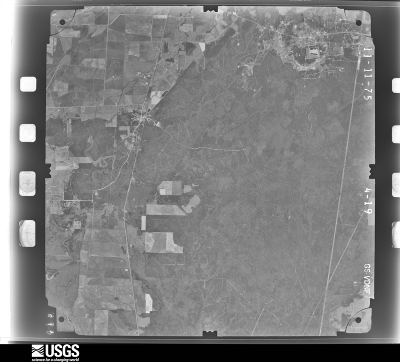
Flown by the U.S. Geological Survey between 1937 and 1989, the Aerial Photo Single Frames collection is the definitive mid-century view of the land: fields, roads and rivers as the camera saw them. The Survey holds 4,257 frames inside the rectangle that bounds this county; the 48 frames below were taken over the county itself, chosen across the decades of flights (at most four a year from that rectangle), so one flight cannot crowd out the rest. The full set is free to browse and download at EarthExplorer under the dataset Aerial Photo Single Frames.
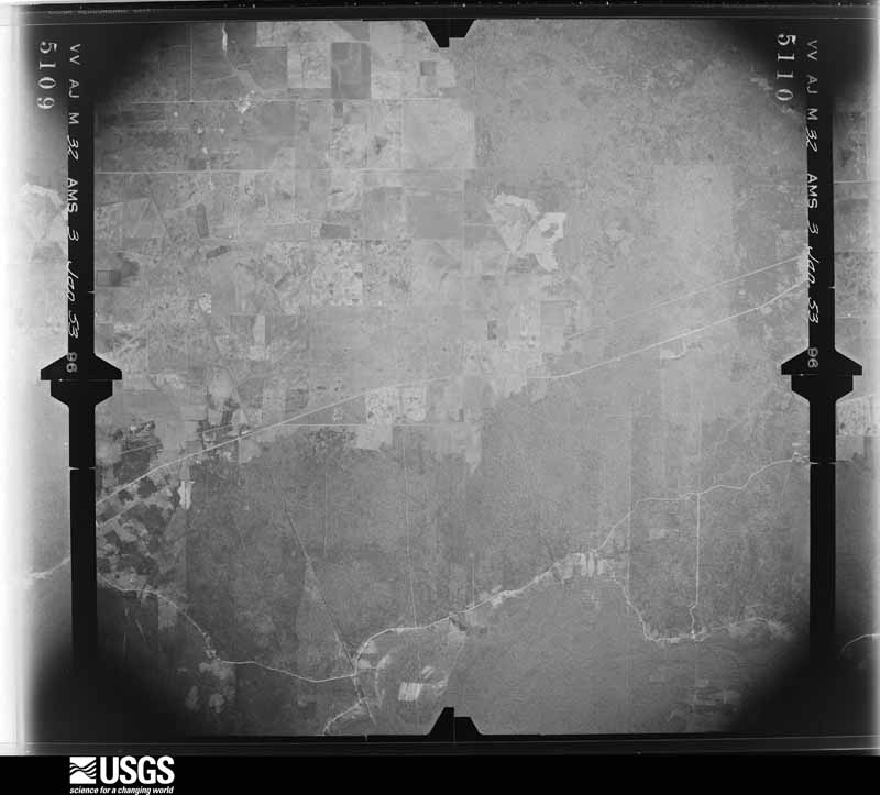
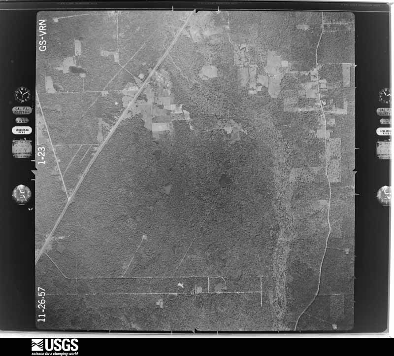
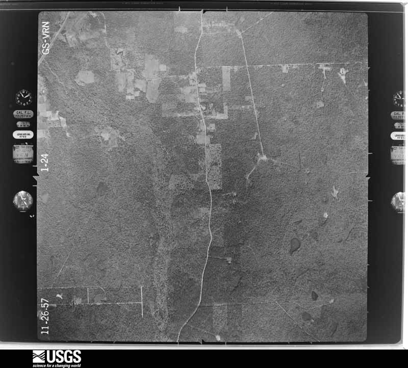
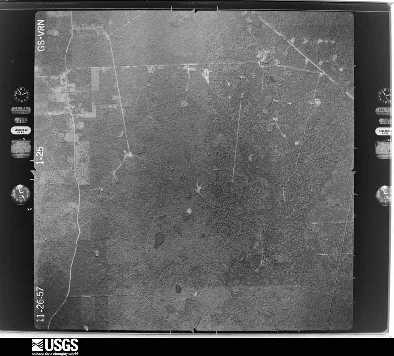
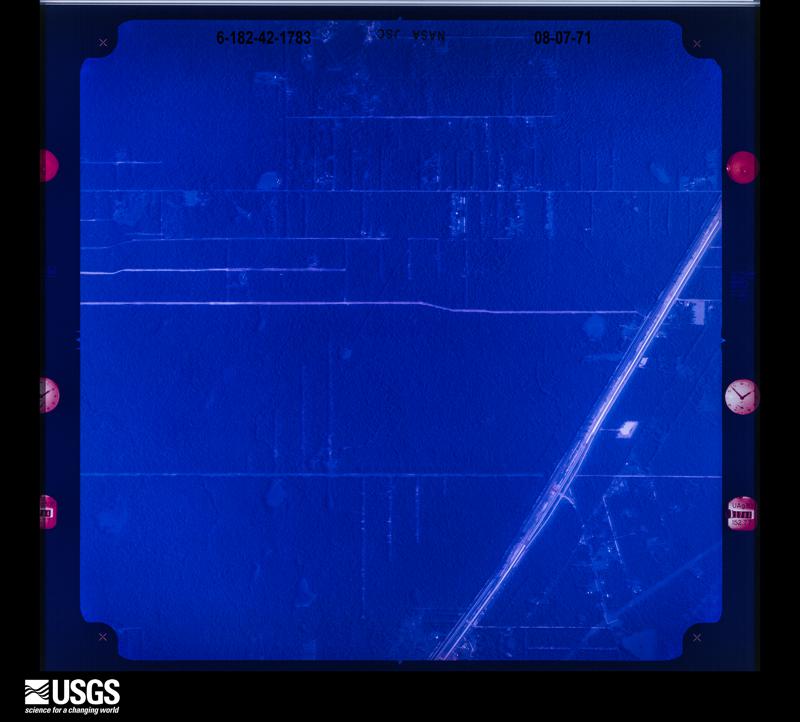

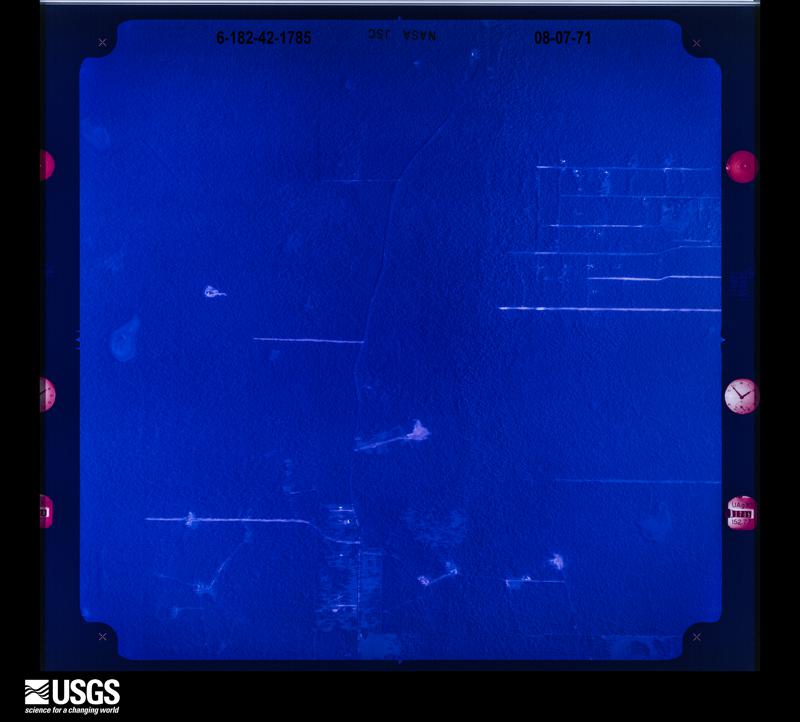

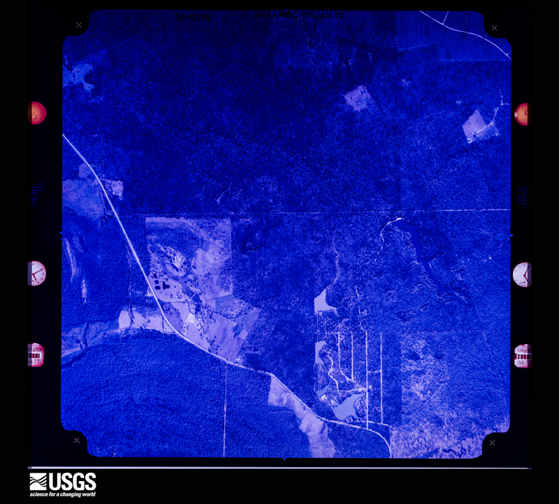
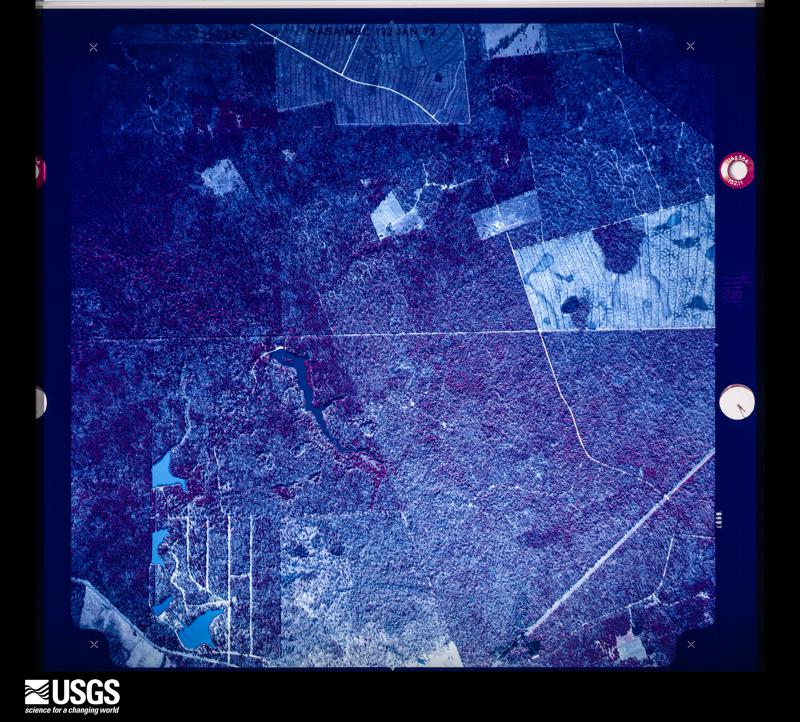
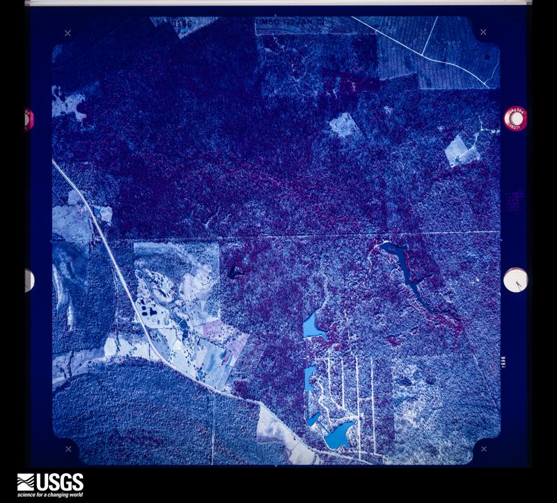
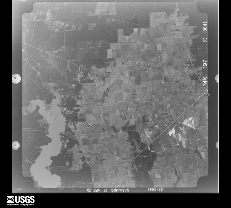
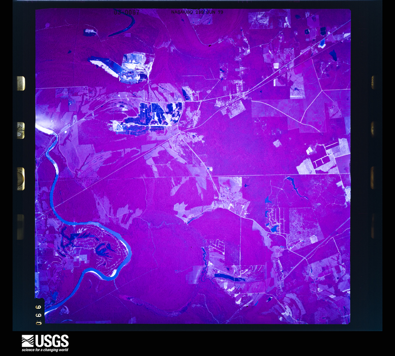

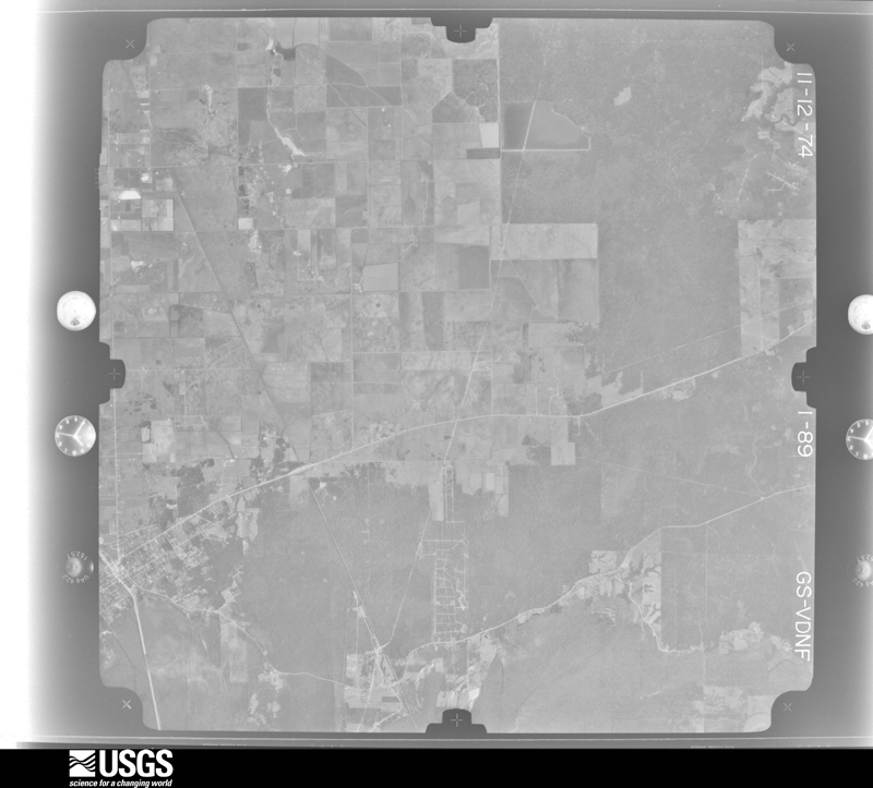
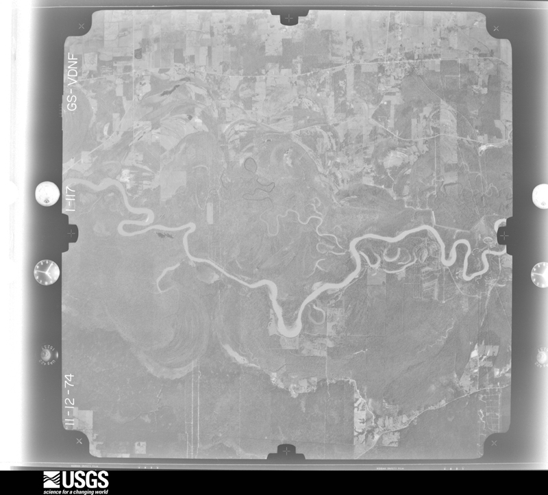
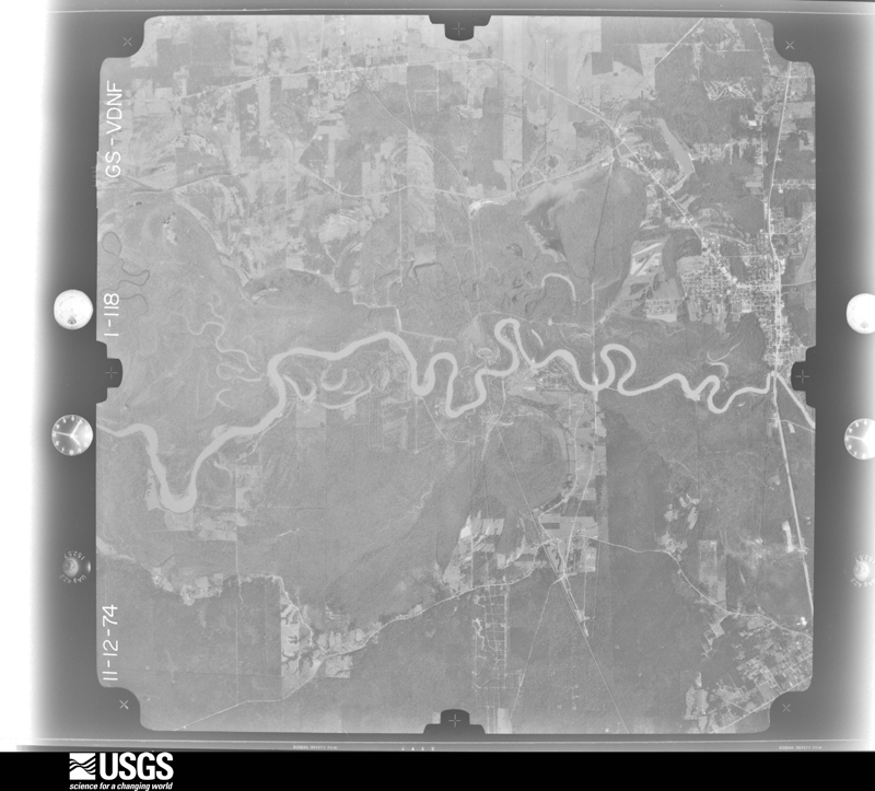
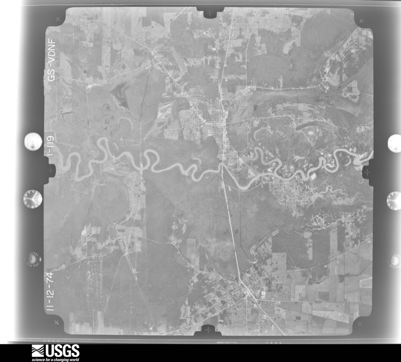
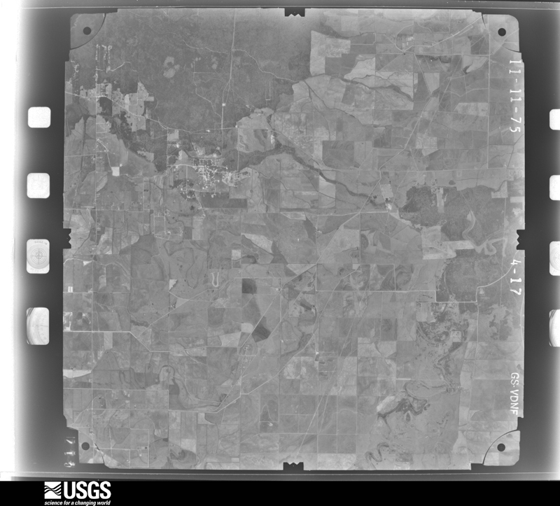
The thermometers that kept this county's weather, and the gages that measured the flow of its streams, as the federal records hold them. The extremes below are measured values from those records, not estimates.
Who lived here in 1950, one enumeration district at a time, as the Census Bureau described each district. Each row opens its official National Archives result, with Population Schedules and ED Maps available there.
Every wildfire the federal occurrence database records inside this county: 607 of them, burning about 15,938 acres. 28 started naturally and 69 were recorded as arson. Each settlement page carries the fires within five miles of it.
| Reported cause | Fires |
|---|---|
| Debris and open burning | 376 |
| Missing data/not specified/undetermined | 95 |
| Arson/incendiarism | 69 |
| Natural | 28 |
| Equipment and vehicle use | 14 |
| Power generation/transmission/distribution | 9 |
| Misuse of fire by a minor | 5 |
| Fireworks | 4 |
| Railroad operations and maintenance | 3 |
| Recreation and ceremony | 2 |
| Smoking | 2 |
The five largest, by the area the report gives. Three of them were set deliberately.
| Date | Cause | Size | Reported by | Name on the report |
|---|---|---|---|---|
| 1 September 2000 | Natural | 5,000 acres | Texas A & M Forest Service | CONROE - 361 |
| 20 February 1996 | Arson/incendiarism | 1,120 acres | Texas A & M Forest Service | not named |
| 3 April 1996 | Arson/incendiarism | 880 acres | Texas A & M Forest Service | not named |
| 6 June 2011 | Natural | 612 acres | Livingston Area | RYE FIRE |
| 16 April 1996 | Arson/incendiarism | 390 acres | Texas A & M Forest Service | not named |
| 7 September 2000 | Missing data/not specified/undetermined | 300 acres | National Forests And Grasslands In Texas | MAYHAW |
| 23 October 2005 | Debris and open burning | 290 acres | Texas A & M Forest Service | CONROE - 157 |
| 10 December 2020 | Missing data/not specified/undetermined | 222 acres | Texas A & M Forest Service | HARRIS 16:50 |
Every settlement page carries the fires within five miles of it - see the settlement index below.
The NOAA Storm Events Database holds 356 reports for this county, causing 1 death, 42 injuries and about $120,258,780 in recorded property damage. Each settlement page carries the reports that name it.
| Kind of event | Reports |
|---|---|
| Thunderstorm Wind | 137 |
| Hail | 87 |
| Tornado | 70 |
| Flash Flood | 56 |
| Funnel Cloud | 5 |
| Lightning | 1 |
The most serious of them, by death, then injury, then recorded damage. The accounts are quoted exactly as the forecast office filed them.
| When | Event | Place named | Harm | What the report says |
|---|---|---|---|---|
| October 2006 | Flash Flood | Cottonwood | 1 killed, $10,000 | The 25 year old female driver of a vehicle drowned when she drove into a flooded ditch off of FM 1410. The vehicle turned upside down in the ditch. |
| May 1995 | Tornado (F1) | Liberty | 12 hurt, $750,000 | Super cell moved across Lake Houston and intensified to form a mesocyclone as it moved into Liberty County. This super cell produced four tornadoes as moved from west to east across the county. The third of the four tornadoes touched down in downtown Liberty and was the most significant. Twelve people were injured with two requiring to be hospitalized. |
| May 1995 | Tornado (F1) | Liberty | 12 hurt, $750,000 | Super cell moved across Lake Houston and intensified to form a mesocyclone as it moved into Liberty County. This super cell produced four tornadoes as it moved from west to east across the county. The third of the four tornadoes touched down in downtown Liberty and was the most significant. Twelve people were injured with two requiring to be hospitalized. |
| December 1977 | Tornado (F3) | not stated | 5 hurt, $25,000 | no account filed |
| May 1973 | Tornado (F2) | not stated | 4 hurt, $250,000 | no account filed |
| August 2014 | Thunderstorm Wind | Cleveland Muni Arpt | 2 hurt, $25,000 | Trees were downed near FM 2518 south of Highway 105. One fell on a mobile home and injured two people. |
| March 1972 | Tornado (F1) | not stated | 2 hurt | no account filed |
| November 1992 | Tornado (F3) | not stated | 1 hurt, $2,500,000 | no account filed |
| November 1992 | Tornado (F4) | not stated | 1 hurt, $250,000 | no account filed |
| October 2011 | Tornado (EF0) | Cleveland Muni Arpt | 1 hurt, $25,000 | Tornado touchdown near FM 163 and SH 321 was based on witness report. Damage was intermittent along a path from that point to near the intersection of FM 2286 and FM 2287 where a trailer was overturned and one woman was injured. |
| October 1957 | Tornado (F3) | not stated | 1 hurt, $25,000 | no account filed |
| April 1990 | Thunderstorm Wind | not stated | 1 hurt | no account filed |
| September 2019 | Flash Flood | Moss Bluff | $95,000,000 | Multiple roads across the county that were impassable due to extensive flooding inundation included, but were not limited to, sections of FM 1010, FM 1008 at County Road 2313 and County Road 2285 and County Road 379. Multiple high water rescues. |
| May 2000 | Flash Flood | West Portion | $10,000,000 | Major flash flood in the Liberty and Dayton areas. US 90 water covered and closed for over 12 hours. Half the streets in Liberty covered with 1 to 2 feet of water with widespread street flooding in Dayton. Water into homes with numerous automobiles stranded. At least 262 homes and 42 businesses damaged countywide, including half the homes in the Oak Forest subdivision in Liberty. From 60 to 80 people rescued from flood waters. Several schools damaged by major flooding. Water reached 18 feet high on SH 321 underpass in Dayton. Co-op observer in Liberty reported a storm total of 19.1 inches of rainfall, with 18.3 inches falling in only 5 hours! |
| May 1983 | Tornado (F0) | not stated | $2,500,000 | no account filed |
| May 1983 | Tornado (F1) | not stated | $2,500,000 | no account filed |
| October 2015 | Flash Flood | Dayton | $700,000 | High rainfall rates created flooding in both towns of Dayton and Liberty. The underpass at the intersection of US Highway 90 and FM 321, along with other streets in Dayton, were closed due to high water. The city of Liberty reported flood waters in six homes with numerous road closures due to high water. |
| October 2000 | Flash Flood | Northeast Portion | $500,000 | Several homes flooded in the Rye and Moss Hill areas. Portion of FM 787 washed out in Romayor. SH 146 flooded and closed to cars north of Moss Hill. Total of 8.5 inches of rainfall in Rye and 10 inches in Votaw. |
| May 2016 | Flash Flood | Kenefick | $400,000 | Numerous roads and bridges under water. Damage estimated. |
| May 2021 | Tornado (EF1) | Cleveland Muni Arpt | $300,000 | The tornado touched down near County Road 308 and uprooted several large hardwood trees, some of which damaged homes. The trees which fell in different locations were large but fairly shallow rooted. |
| May 1982 | Tornado (F2) | not stated | $250,000 | no account filed |
| November 2003 | Flash Flood | Plum Grove | $225,000 | 6 to 7 homes flooded in Plum Grove with flooded roads in and around Hardin. |
| October 2002 | Tornado (F1) | Dayton | $185,000 | Four mobile homes sustained damage with one receiving major damage. |
| January 1999 | Tornado (F2) | Devers | $175,000 | The tornado appeared to have formed just on the other side of a canal in the Dunning's Farm area. At this point three large houses were completely destroyed with widespread tree damage. The tornado moved NE and dragged heavy farm tractors (approximately 50000 lbs) over 10 to 15 feet. The tornado moved across a wide open field and crossed into Jefferson county. |
| January 2023 | Tornado (EF2) | Felicia | $150,000 | This short-lived tornado struck a residence along CR 1009 in Eastern Liberty County, not far from the Jefferson County line. The home sustained EF2 damage with its roof removed and windows shattered. Mud was splattered on all sides of the home. Residents reported heavy rain and very high winds during the tornado passage. There were no injuries as residents sheltered in an interior bathroom. One horse was injured by debris. Debris was lofted at least two miles north with the debris field visible crossing SH 90. |
| September 2019 | Flash Flood | Cleveland | $100,000 | Flooding inundated Highway 59 in Cleveland. The highway was closed with numerous stranded cars within the floodwaters. |
| October 2006 | Flash Flood | Cleveland | $100,000 | Four impassable roads in NW Cleveland; Joyce, Tony Tap, East Cherry Creek, and Meekins Roads were either closed or washed out due to flood waters. Two residential subdivisions were reported to be partially flooded. |
| October 2002 | Flash Flood | Countywide | $100,000 | Countywide flooding. |
| March 1999 | Thunderstorm Wind | Dayton | $100,000 | Several large diameter trees down; trees fell on trailer home in Dayton Oaks subdivision |
| December 2002 | Thunderstorm Wind | Liberty | $70,000 | Damage to homes, carports and patio covers, high school press box and dugouts; trees and power lines down. |
| May 2004 | Thunderstorm Wind | Kenefick | $65,000 | Tree down on a home. |
| April 2006 | Tornado (F1) | Liberty | $60,000 | Tornado caused extensive damage along CR 143 off of FM 563. Major roof damage to area homes with numerous trees and power lines down. |
| October 2006 | Flash Flood | Ames | $55,000 | Significant flooding across county with several roads closed due to high water. Report of one flooded subdivision (Big Thicket Lakes). Flooding reported on FM 834 between the towns of Hardin and Hull, on State Road 321 between Cleveland and Dayton, and on FM 563 south of the town of Liberty. Other road closures include, but are not limited to, portions of FM 2518, FM 163, and FM 787. |
| August 2004 | Hail | Moss Hill | $50,000 | 3/4 inch Hail on Highway 105 between Moss Hill and Tarkington Prairie. |
| July 2000 | Thunderstorm Wind | Countywide | $50,000 | Widespread trees and power lines down over the southern half of the county. |
| February 1998 | Tornado (F1) | Raywood | $50,000 | Tornado destroyed large metal barn, 10 utility poles blown down (some snapped at base), minor damage to metal roofs of farm buildings, shingles blown off houses. |
| October 1997 | Tornado (F1) | Dayton | $50,000 | Trees down and minor structural damage. |
| March 1995 | Tornado (F0) | not stated | $50,000 | EMC reported tornado at New Salem Road & Rodgers. Trees and telephone lines were downed; and four damaged mobile homes. |
| May 1993 | Thunderstorm Wind | not stated | $50,000 | The Liberty County Sheriff's Department reported numerous trees blown down over most of the county and power outages in the Woodland Hills area. |
| May 2005 | Flash Flood | Dayton | $40,000 | Highway 321 underpass flooded and closed with vehicles stranded in the area. Numerous streets and secondary roads flooded. |
| November 2004 | Thunderstorm Wind | Liberty | $40,000 | Damage to retail store, several cars in parking lot also damaged. |
| October 2001 | Tornado (F0) | Dayton | $40,000 | Sheriff's office reported a tornado touched down near FM 686 and FM 321 and moved east toward Highway 90. Damage to a business and the roof of a trailer was reported, as well as trees and power lines down. |
| May 1999 | Thunderstorm Wind | Liberty | $40,000 | Home damaged and numerous trees and power lines down. |
| March 1995 | Thunderstorm Wind | not stated | $40,000 | Trees downed, roofs blown off, and power outages in Liberty. |
| May 1995 | Tornado (F0) | of Dayton | $40,000 | Super cell moved across Lake Houston and intensified to form a mesocyclone as it moved into Liberty County. This super cell produced four tornadoes as it moved from west to east across the county. The third of the four tornadoes touched down in downtown Liberty and was the most significant. Twelve people were injured with two requiring to be hospitalized. |
| May 1995 | Tornado (F0) | of Dayton | $40,000 | Super cell moved across Lake Houston and intensified to form a mesocyclone as it moved into Liberty County. This super cell produced four tornadoes as moved from west to east across the county. The third of the four tornadoes touched down in downtown Liberty and was the most significant. Twelve people were injured with two requiring to be hospitalized. |
| March 2009 | Tornado (EF0) | Cleveland | $35,000 | There was a brief tornado in Cleveland in which witnesses observed a funnel cloud with swirling dust and debris at the surface. A loosely-attached roof was lifted from a business and carried 50 yards into a hospital parking lot. The windows of another business were blown out. |
| September 2002 | Flash Flood | Liberty | $35,000 | Flooding in Liberty and Dayton; portions of Hwy 90 closed in Liberty. |
| November 2003 | Tornado (F1) | Moss Bluff | $30,000 | Tornado downed trees and severely damaged a garage. |
| December 2002 | Tornado (F0) | Liberty | $30,000 | Building damaged. |
| October 1998 | Tornado (F0) | Plum Grove | $30,000 | Tornado touchdown in Plum Grove on FM 1010. Mobile homes damaged and trees/powerlines down. |
| November 2004 | Thunderstorm Wind | Countywide | $25,000 | Numerous trees down countywide. Metal building damaged along with fire station's communications tower toppled in Cleveland. |
| May 2000 | Tornado (F0) | Dayton | $25,000 | Trees down. |
| September 1996 | Flash Flood | Countywide | $25,000 | no account filed |
| November 1992 | Tornado (F1) | not stated | $25,000 | no account filed |
| May 1967 | Tornado (F2) | not stated | $25,000 | no account filed |
| September 1967 | Tornado | not stated | $25,000 | no account filed |
| October 1957 | Tornado (F2) | not stated | $25,000 | no account filed |
| February 2026 | Tornado (EF0) | Kevin | $23,000 | Storms moved through Liberty county on February 3rd, where a tornado warned storm passed through the Plum Grove area. Initially broadcast media reported trees down near intersection of County Road 3709 and County Road 3732. In the aftermath of this storm, a survey team was dispatched to assess the damage across the area.||The survey team found that this storm produced two tornadoes, this being the second. This second tornado started along FM 1010 and Wooden Ln, indicated by an uprooted tree and broken wood signage. The tornado entered a largely empty field between FM 1010 and CR 3405, but still saw some tree damage. The tornado then entered the Bella Vista subdivision, causing tree damage, fence damage, and metal structure damage between CR 3405 and CR 3404. No further damage was seen beyond the intersection of CR 3404 and CR 3410. This tornado was rated as an EF0. The most significant damage occurred at a metal structure off of FM 1010 with estimated peak winds of 85 mph. This assessment is based on a metal building system (MBS) with a DOD of 3. |
| January 2001 | Thunderstorm Wind | Hull | $20,000 | Trees down on power lines in Hull. |
The Survey's mineral resources record lists 18 workings inside this county. 13 still produce and 5 are closed or unrecorded. Each settlement page carries the workings within five miles of it.
| Commodity | Workings |
|---|---|
| Sand and Gravel, Construction | 11 |
| Halite | 4 |
| Silica | 2 |
| Sulfur, Halite, Limestone, Ultra Pure, Gypsum-Anhydrite | 1 |
The least common of them first, because a county's hundredth gravel pit says nothing its first ten did not.
| Where | Site | Commodity | Status | Recorded |
|---|---|---|---|---|
| South Liberty Occurrence | Sulfur, Halite, Limestone, Ultra Pure, Gypsum-Anhydrite | Occurrence | 1905 | |
| Liberty Dredge & Plant | Silica | Producer | ||
| Sand Pit No.2 | Silica | Producer | ||
| Davis Hill Salt Dome | Halite | Occurrence | 1905 | |
| Esperson Salt Dome | Halite | Occurrence | 1928 | |
| Hull Salt Dome | Halite | Occurrence | 1908 | |
| North Dayton Salt Dome | Halite | Occurrence | 1900 | |
| Baytown 146 Pit | Sand and Gravel, Construction | Producer | ||
| Cleveland Pit | Sand and Gravel, Construction | Producer | Sand | |
| Dolen No. 12 Pit | Sand and Gravel, Construction | Producer | Sand | |
| Dolen No. 36 Pit | Sand and Gravel, Construction | Producer | Sand | |
| Fitch Pit | Sand and Gravel, Construction | Producer | ||
| Lone Star Dolen Pit 36 | Sand and Gravel, Construction | Producer | ||
| Rye Dredge & Plant | Sand and Gravel, Construction | Producer | ||
| Trinity River Dredge Operation | Sand and Gravel, Construction | Producer | Gravel, Sand | |
| Unnamed Pit | Sand and Gravel, Construction | Producer | Sand | |
| Unnamed Pit | Sand and Gravel, Construction | Producer | Sand | |
| Unnamed Pit | Sand and Gravel, Construction | Producer | Gravel, Sand |
Named settlements recorded in the Geographic Names Information System, each with the topographic sheets covering it. Villages, hamlets and abandoned places alike. Each is shown with the nearest named watercourse or landform and the survey quadrangle it falls on.
Liberty-Dayton census division · 77538 · Whites Bayou quadrangle
10 sheets, 1943 to 1994
Liberty-Dayton census division · 77575 · On Wood Spring Creek · Liberty quadrangle
13 sheets, 1943 to 1986
Cleveland census division · 77327 · On Whisky Branch · Cleveland quadrangle
12 sheets, 1954 to 1997
Cleveland census division · 77327 · On Big Creek · Romayor quadrangle
12 sheets, 1943 to 1986
Hardin-Rye census division · 77369 · On Mill Creek · Romayor quadrangle
12 sheets, 1943 to 1986
Hardin-Rye census division · 77575 · Arizona Creek quadrangle
14 sheets, 1943 to 1986
Cleveland census division · 77535 · Simmons Bottom quadrangle
12 sheets, 1943 to 1986
Liberty-Dayton census division · 77575 · On Big Bayou · Liberty quadrangle
13 sheets, 1943 to 1986
No longer a settlement
Hardin-Rye census division · 77327 · On Cherry Creek · Romayor quadrangle
12 sheets, 1943 to 1986
Hardin-Rye census division · 77575 · By Tanners Bluff · Davis Hill quadrangle
12 sheets, 1943 to 1986
Liberty-Dayton census division · 77535 · On Pruett Bayou · Dayton quadrangle
13 sheets, 1943 to 1986
Cleveland census division · 77535 · On Long John Creek · Capers Ridge quadrangle
12 sheets, 1943 to 1986
Cleveland census division · 77327 · On Winters Bayou · Rayburn quadrangle
13 sheets, 1943 to 1997
Daisetta census division · 77564 · Near Batiste Prairie · Hardin quadrangle
13 sheets, 1943 to 1986
Hardin-Rye census division · 77575 · Arizona Creek quadrangle
14 sheets, 1943 to 1986
Cleveland census division · 77328 · Near Red Gully · Fostoria quadrangle
13 sheets, 1954 to 1997
Liberty-Dayton census division · 77535 · On East Prong Old River · Sheeks quadrangle
10 sheets, 1950 to 1993
Hardin-Rye census division · 77575 · By Tanners Bluff · Davis Hill quadrangle
12 sheets, 1943 to 1986
Hardin-Rye census division · 77369 · On Meetinghouse Branch · Votaw quadrangle
14 sheets, 1943 to 1986
Cleveland census division · 77327 · Near Red Gully · Cleveland quadrangle
12 sheets, 1954 to 1997
Daisetta census division · 77538 · On Batiste Creek · Devers quadrangle
13 sheets, 1943 to 1986
Hardin-Rye census division · 77369 · On Meetinghouse Branch · Votaw quadrangle
14 sheets, 1943 to 1986
Hardin-Rye census division · 77575 · By Tanners Bluff · Davis Hill quadrangle
12 sheets, 1943 to 1986
Hardin-Rye census division · 77575 · On Beard Bayou · Capers Ridge quadrangle
12 sheets, 1943 to 1986
Liberty-Dayton census division · 77575 · On Big Bayou · Liberty quadrangle
13 sheets, 1943 to 1986
Hardin-Rye census division · 77575 · Near Hawkins Hill · Capers Ridge quadrangle
12 sheets, 1943 to 1986
Cleveland census division · 77327 · On Fields Bayou · Romayor quadrangle
12 sheets, 1943 to 1986
Liberty-Dayton census division · 77575 · On Self Bayou · Moss Bluff quadrangle
11 sheets, 1950 to 1993
Liberty-Dayton census division · 77575 · On Turkey Creek · Liberty quadrangle
13 sheets, 1943 to 1986
No longer a settlement
Hardin-Rye census division · 77575 · Near Hawkins Hill · Hardin quadrangle
13 sheets, 1943 to 1986
Cleveland census division · 77327 · On Whisky Branch · Cleveland quadrangle
12 sheets, 1954 to 1997
Cleveland census division · 77327 · Near Tarkington Prairie · Tarkington Prairie quadrangle
12 sheets, 1943 to 1986
Liberty-Dayton census division · 77535 · On Labitt Creek · Moss Bluff quadrangle
11 sheets, 1950 to 1993
Daisetta census division · 77564 · On Walker Marsh · Hardin quadrangle
13 sheets, 1943 to 1986
Cleveland census division · 77327 · On Cordy Branch · Plum Grove quadrangle
12 sheets, 1954 to 1985
Hardin-Rye census division · 77368 · On Nevill Bayou · Romayor quadrangle
12 sheets, 1943 to 1986
Liberty-Dayton census division · 77575 · On Shiloh Creek · Shiloh quadrangle
10 sheets, 1950 to 1993
Cleveland census division · 77535 · Simmons Bottom quadrangle
12 sheets, 1943 to 1986
Liberty-Dayton census division · 77575 · On Abbott Creek · Liberty quadrangle
13 sheets, 1943 to 1986
Liberty-Dayton census division · 77535 · Moss Bluff quadrangle
11 sheets, 1950 to 1993
Liberty-Dayton census division · 77575 · Near Black Gully · Shiloh quadrangle
10 sheets, 1950 to 1993
Hardin-Rye census division · 77327 · On Bledsoe Creek (historical) · Davis Hill quadrangle
12 sheets, 1943 to 1986
Hardin-Rye census division · 77327 · Arizona Creek quadrangle
14 sheets, 1943 to 1986
Cleveland census division · 77327 · Near Red Gully · Cleveland quadrangle
12 sheets, 1954 to 1997
Liberty-Dayton census division · 77535 · Simmons Bottom quadrangle
12 sheets, 1943 to 1986
The vanished settlements of Liberty County: the places named above that are no longer on the map.