 Block
BlockFrom the record
1 National Register listing published here.
Sources: the National Register database, National Park Service
16 topographic sheets cover 12 settlements here, and 1 property is on the National Register of Historic Places.
1 National Register listing published here.
Sources: the National Register database, National Park Service
Every property in this county listed on the National Register of Historic Places, with the year it was listed and the federal nomination document.
| Photograph | Property | Type | Listed | Reference |
|---|---|---|---|---|
 | Lipscomb County Courthouse | building | 2008 | 08000730 |
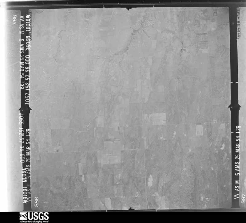
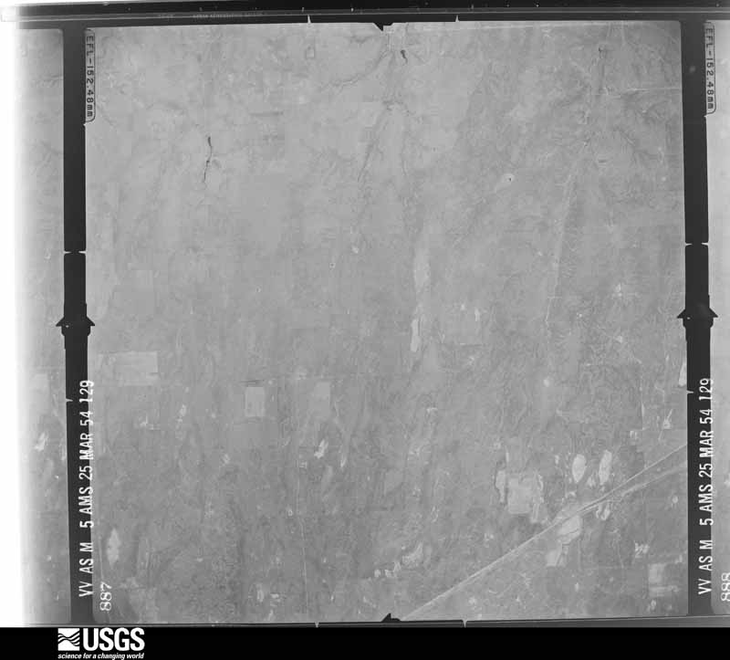
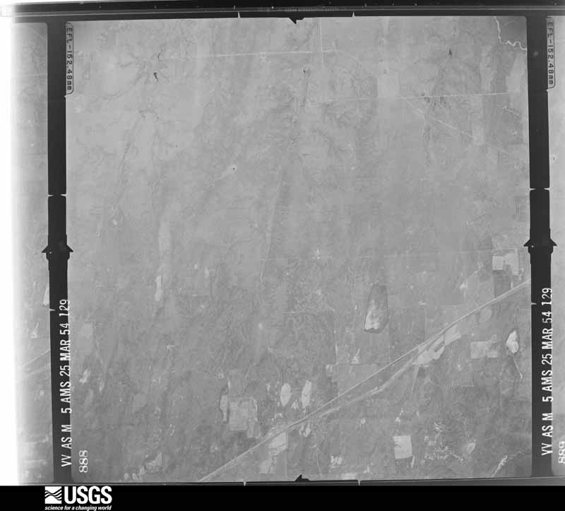
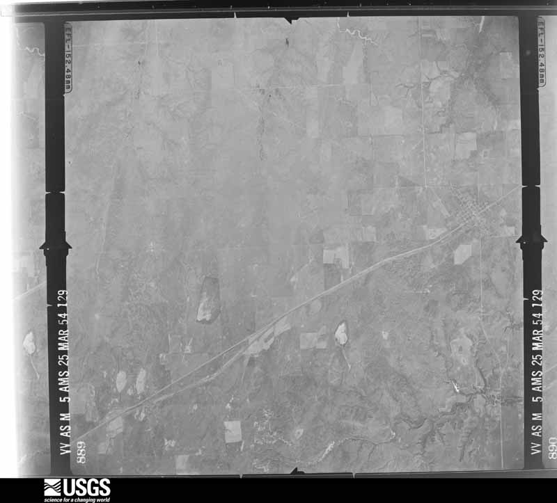
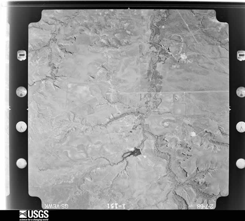
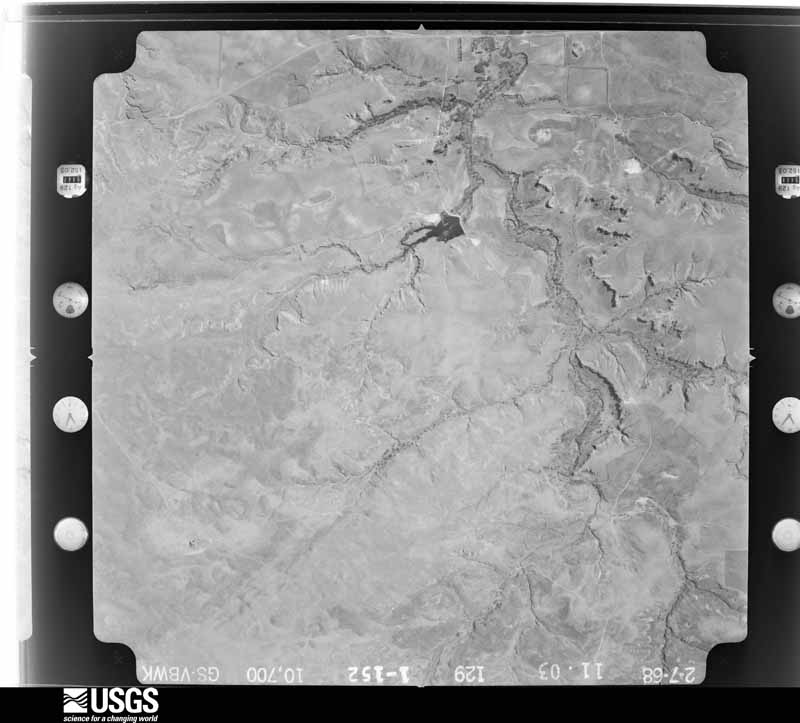
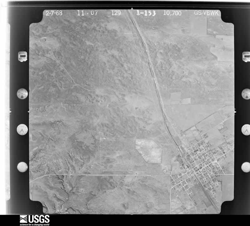
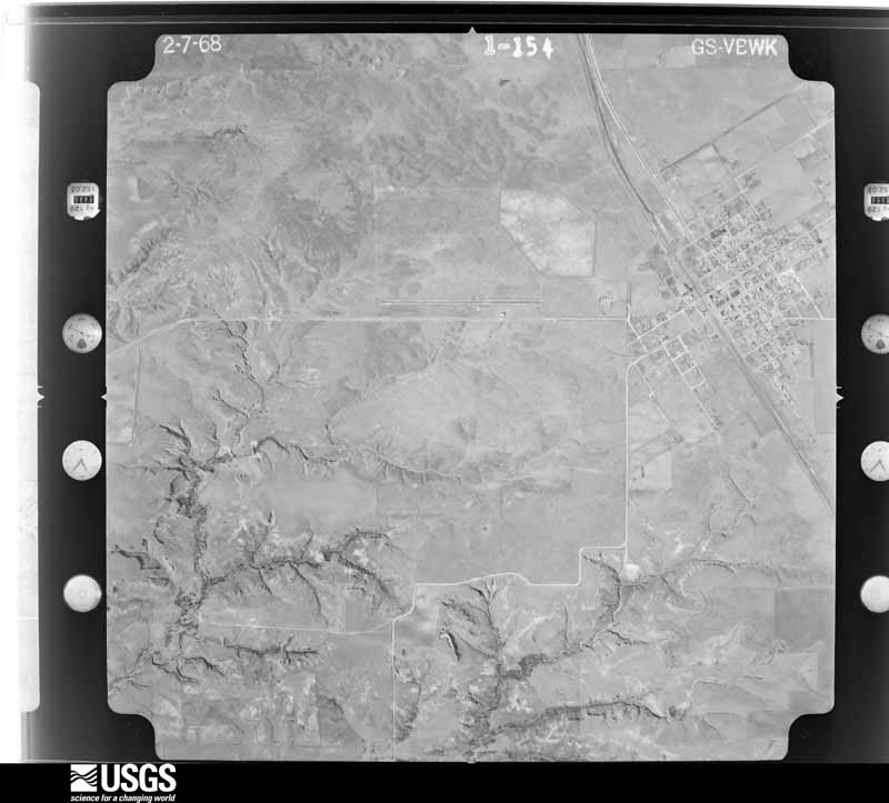
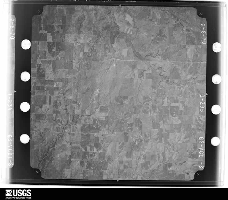
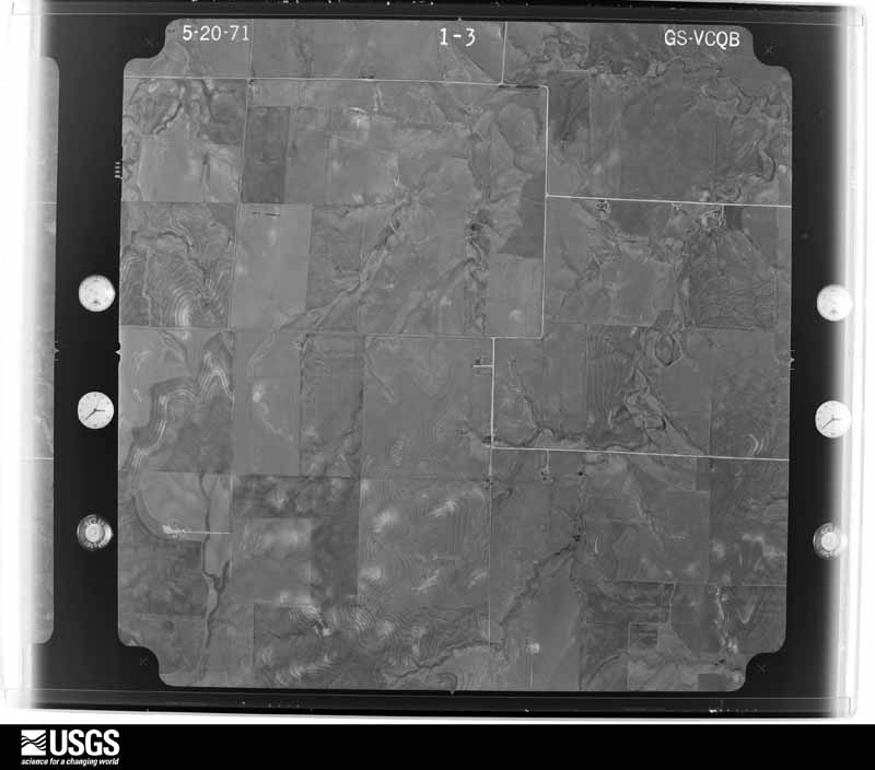
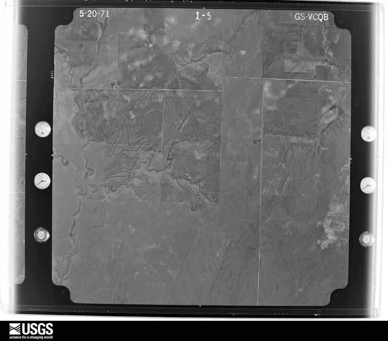
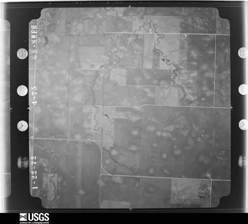
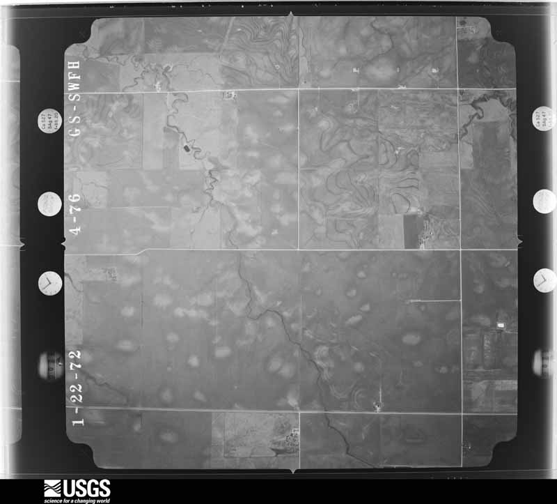
Flown by the U.S. Geological Survey between 1937 and 1989, the Aerial Photo Single Frames collection is the definitive mid-century view of the land: fields, roads and rivers as the camera saw them. The Survey holds 897 frames inside the rectangle that bounds this county; the 20 frames below were taken over the county itself, chosen across the decades of flights (at most four a year from that rectangle), so one flight cannot crowd out the rest. The full set is free to browse and download at EarthExplorer under the dataset Aerial Photo Single Frames.







The thermometers that kept this county's weather, and the gages that measured the flow of its streams, as the federal records hold them. The extremes below are measured values from those records, not estimates.
Who lived here in 1950, one enumeration district at a time, as the Census Bureau described each district. Each row opens its official National Archives result, with Population Schedules and ED Maps available there.
Every wildfire the federal occurrence database records inside this county: 211 of them, burning about 412,250 acres. 45 started naturally and 8 were recorded as arson. Each settlement page carries the fires within five miles of it.
| Reported cause | Fires |
|---|---|
| Equipment and vehicle use | 61 |
| Natural | 45 |
| Missing data/not specified/undetermined | 35 |
| Power generation/transmission/distribution | 26 |
| Debris and open burning | 17 |
| Railroad operations and maintenance | 8 |
| Arson/incendiarism | 8 |
| Smoking | 5 |
| Recreation and ceremony | 3 |
| Misuse of fire by a minor | 3 |
The five largest, by the area the report gives. None of them was recorded as arson.
| Date | Cause | Size | Reported by | Name on the report |
|---|---|---|---|---|
| 6 March 2017 | Missing data/not specified/undetermined | 318,156 acres | Texas A & M Forest Service | PERRYTON |
| 18 March 2014 | Missing data/not specified/undetermined | 29,611 acres | Texas A & M Forest Service | HIGGINS FIRE |
| 27 February 2011 | Power generation/transmission/distribution | 19,200 acres | Texas A & M Forest Service | LOCUST GROVE FIRE |
| 16 February 2011 | Power generation/transmission/distribution | 15,908 acres | Texas A & M Forest Service | LIPSCOMB CO. COMPLEX FIRE |
| 30 March 2014 | Missing data/not specified/undetermined | 5,200 acres | Texas A & M Forest Service | HIGGINS TWO FIRE |
| 10 February 2017 | Power generation/transmission/distribution | 2,000 acres | Texas A & M Forest Service | PORTER/BARTON |
| 16 March 2018 | Missing data/not specified/undetermined | 2,000 acres | Texas A & M Forest Service | WINN FIRE MA |
| 4 August 2016 | Natural | 1,350 acres | Texas A & M Forest Service | BRAUMS GRASS FIRE |
Every settlement page carries the fires within five miles of it - see the settlement index below.
The NOAA Storm Events Database holds 539 reports for this county, causing no deaths, 3 injuries and about $2,457,160 in recorded property damage. Each settlement page carries the reports that name it.
| Kind of event | Reports |
|---|---|
| Hail | 376 |
| Thunderstorm Wind | 104 |
| Tornado | 43 |
| Flash Flood | 9 |
| Flood | 4 |
| Funnel Cloud | 3 |
The most serious of them, by death, then injury, then recorded damage. The accounts are quoted exactly as the forecast office filed them.
| When | Event | Place named | Harm | What the report says |
|---|---|---|---|---|
| June 2003 | Thunderstorm Wind | Lipscomb | 3 hurt, $55,000 | High winds reportedly caused an empty trailer of a semi truck to slide into an automobile and then overturn along US Highway 83 in the southwest corner of Lipscomb County. Three people in the automobile were reportedly injured. |
| February 2000 | Tornado (F1) | Lipscomb | $500,000 | The tornado track was estimated and the tornado damaged nine irrigation sprinklers. Trees were uprooted and fences were blown down three miles east of Follett. The tornado also damaged roof tops, outbuildings, water wind mills, and one tractor cab along with several power line poles. The tornado exited LIpscomb County of Amarillo's County Warning Area and continued moving northeast into Ellis County of Norman's County Warning Area. |
| July 1994 | Thunderstorm Wind | Booker | $500,000 | Cooperative observer estimated winds of 60 to 70 mph. Power lines just east of Lipscomb were blown down and the power was out for over three hours. Nine head of cattle were killed when they came in contact with downed power lines. In Booker damage was estimated at $250K. The Texas Motel had its roof ripped completely off and the press box at Kiowa football field was blown off the bleachers. |
| March 1987 | Tornado (F3) | not stated | $250,000 | no account filed |
| May 1978 | Tornado (F0) | not stated | $250,000 | no account filed |
| May 2007 | Flood | Lipscomb | $220,000 | Very heavy rainfall caused tremendous runoff into the Wolf Creek in Ochiltree and Lipscomb Counties. The flooding caused road closures along the south Wolf Creek in Ochiltree County and along the main stem of the Wolf Creek as it passed through Lake Fryer on into Lipscomb County. The flooding caused damage to some fifth wheel campers at Lake Fryer as they were drawn into the lake. The crest on the Wolf Creek at the gage site on the north side of Lipscomb was just over fifteen feet on the morning of May 24. The creek at Lipscomb was out of its banks for nearly four days and was running above the flood stage for almost thirty hours. This crest was the highest crest for the period of record. There was no reports of deaths or injuries from this flooding. |
| February 2000 | Hail | Lipscomb | $75,000 | Hail damaged automobiles and mainly the roofs of buildings. |
| August 2008 | Hail | Booker | $63,000 | The Booker Fire Department reported lots of hail damage in Booker due to tennis ball size hail. Car windows and the windows of businesses were broken...most roofs of buildings sustained hail damage...and a large trampoline was reported to be in a tree. The time of the damage was estimated to be between 1645 and 1715 CST. |
| July 1994 | Thunderstorm Wind | Lipscomb | $50,000 | Cooperative observer estimated winds of 60 to 70 mph. Power lines just east of Lipscomb were blown down and the power was out for over three hours. Nine head of cattle were killed when they came in contact with downed power lines. In Booker damage was estimated at $250K. The Texas Motel had its roof ripped completely off and the press box at Kiowa football field was blown off the bleachers. |
| May 2007 | Tornado (EF2) | Darrouzett | $36,000 | The tornado developed over open country about eight miles south of Darrouzett and traveled northeast and then north for about eight miles. The tornado crossed Uncle Sam Road just west of State Highway 305 and then near the intersection of County Road J and U.S. Highway 305. Severe damage was reported to recently built barns of which the contents were vacated and relocated downstream...damage to many power poles...trees...outbuildings...and a four thousand pound combine...which was lifted over a fence. No injuries were reported. The tornado dissipated at 2226 CST about four miles southeast of Darrouzett just south of where County Road 17 ends...or just southeast of the intersection of State Highway 305 and State Highway 15. |
| June 2003 | Thunderstorm Wind | Follett | $30,000 | The Lipscomb county Justice of the Peace reported damage to the windows of several houses. |
| September 1996 | Flash Flood | Lipscomb | $25,000 | no account filed |
| June 1987 | Tornado (F2) | not stated | $25,000 | no account filed |
| June 1987 | Tornado (F2) | not stated | $25,000 | no account filed |
| May 1986 | Tornado (F0) | not stated | $25,000 | no account filed |
| April 1978 | Tornado (F3) | not stated | $25,000 | no account filed |
| May 2007 | Tornado (EF2) | Booker | $23,000 | The tornado developed just north of County Road Z and just east of State Highway 23 or about nineteen miles south of Booker at 2140 CST. The tornado traveled north northeast causing damage to trees...power poles...barns...and full oil drums. The tornado was confirmed by photographs. The tornado dissipated about twelve miles west of Lipscomb or north of Farm to Market Road 3260 and east of State Highway 23. No injuries were reported. |
| August 2002 | Thunderstorm Wind | Darrouzett | $20,000 | A roof was blown through corrals at a farm and a hay storage shed was toppled by the high winds. |
| April 2001 | Thunderstorm Wind | Lipscomb | $20,000 | A cattle truck was reported blown over. |
| March 2007 | Flood | Lipscomb | $18,000 | Runoff from heavy rainfall the previous day along with already wet soils caused Wolf Creek to rise above flood stage at Lipscomb Texas. The creek crested just over ten feet around 1100 CST. Water flowed into Glen Turner Memorial Park on the north side of Lipscomb and some picnic tables were standing in water. There was no reports of injuries from the flooding. |
| July 2025 | Hail | Higgins | $15,000 | Large hail fell northwest of Higgins. Hail sizes were mostly dime size to quarter size, but a few hailstones were slightly larger than a golf ball. This resulted in damage to a fire engine that was en route to a wildfire caused by lightning. |
| June 2011 | Tornado (EF0) | Darrouzett | $15,000 | An official National Weather Service storm survey determined that the tornado touched down near the intersection of Texas State Highway 15 and County Road 8 approximately six miles west northwest of Darrouzett Texas in Lipscomb County around 1749 CST. The tornado was on the ground for about a half mile with a maximum path width of fifty yards. There was a barn that was damaged along with an outbuilding which was destroyed. The maximum wind speeds in the tornado were estimated to be seventy knots. The tornado dissipated just south of Texas State Highway 15 between County Road 8 and County Road 9 around 1751 CST. There were no injuries or fatalities reported. |
| September 1995 | Thunderstorm Wind | Booker | $15,000 | Thunderstorms generated high winds and hail to one inch in size. Winds were estimated at 60 to 70 mph by sheriff's and weather service employees. Damage was in line with these speeds. In Lipscomb county the porch was blown off a mobile home and another mobile home was moved from it's foundation, along with several trees blown down. In Amarillo several large trees were blown down on the west side of town. In Parmer county cars had windows blown out and numerous trees were down. |
| May 2007 | Tornado (EF1) | Lipscomb | $13,000 | This tornado developed over open country about three miles southwest of Lipscomb at 2155 CST. The tornado traveled northeast for about four miles damaging a farm and trees. The tornado dissipated at 2205 CST just northwest of Lipscomb. No injuries were reported. |
| August 2008 | Hail | Booker | $12,000 | The Booker Fire Department reported that tennis ball size hail was breaking windshields north of Booker. No injuries were reported. |
| July 2005 | Thunderstorm Wind | Follett | $12,000 | Several trees and limbs blown down along with the roof blown off a garage by the high winds. |
| May 2025 | Hail | Follett | $10,000 | Baseball size hail fell west of Follett. This resulted in broken windshields o some vehicles in the area. |
| May 2025 | Hail | Follett | $10,000 | A supercell thunderstorm that moved through the area roughly eight miles south of Follett produced very large hail. Ping pong ball size hail fell along FM1454 between Follett and Higgins. Additionally, several spotters observed and measured hailstones of 3.24 inches to 3.4 inches. It was likely that some of these stones had melted by the time the measurement had occurred and larger hail may have fallen. |
| May 2012 | Thunderstorm Wind | Higgins | $10,000 | A trained spotter reported that the strong thunderstorm wind gust blew over a carport and that there were two tree limbs blown down. There were no reports of injuries or fatalities. |
| September 1999 | Thunderstorm Wind | Lipscomb | $10,000 | Report of high winds tearing the tin off the side of a house and power poles blown down. |
| September 1995 | Thunderstorm Wind | Amarillo | $10,000 | Thunderstorms generated high winds and hail to one inch in size. Winds were estimated at 60 to 70 mph by sheriff's and weather service employees. Damage was in line with these speeds. In Lipscomb county the porch was blown off a mobile home and another mobile home was moved from it's foundation, along with several trees blown down. In Amarillo several large trees were blown down on the west side of town. In Parmer county cars had windows blown out and numerous trees were down. |
| April 1995 | Thunderstorm Wind | Booker | $10,000 | no account filed |
| March 2007 | Thunderstorm Wind | Darrouzett | $9,000 | High winds ripped part of the roof of a house. The house shook for a few seconds. |
| July 2009 | Thunderstorm Wind | Follett | $7,000 | Law enforcement officials reported that six power poles were snapped between six and nine miles south of Follett. |
| May 2007 | Thunderstorm Wind | Darrouzett | $6,000 | Power poles blown down on State Highway 305 between State Highway 15 and County Road L. This resulted in a temporary closure of State Highway 305. |
| May 2007 | Tornado (EF0) | Lipscomb | $6,000 | This tornado developed over extreme southwest Lipscomb County at 1656 CST and then moved northeast for about one mile before dissipating at 1657 CST. Although the tornado remained over open county...it did cause damage to a barn. No injuries were reported. |
| May 2025 | Hail | Darrouzett | $5,000 | A swath of large hail fell from two miles west of Darrouzett to four miles southeast of Darrouzett. Hail ranged from half dollar size to two inches in diameter. |
| June 2025 | Hail | Lipscomb | $5,000 | A supercell thunderstorm moved across the eastern part of Lipscomb County. It produced hail up to the size of golfballs from roughly seven miles southeast of Lipscomb to Higgins. Quarter size hail fell about seven miles to the northeast of Glazier. |
| July 2020 | Thunderstorm Wind | Follett | $5,000 | A horse barn was destroyed by thunderstorm winds. |
| June 2011 | Tornado (EF0) | Follett | $5,000 | An official National Weather Service storm survey determined that the tornado briefly touched down near the intersection of County Road 19 and County Road D approximately five and a half miles west northwest of Follett Texas in Lipscomb County around 1850 CST. The tornado was on the ground for three hundred yards with a maximum path width of fifty yards. The tornado dissipated around 1852 CST. There was one outbuilding which was destroyed and the maximum wind speeds were around seventy knots. There were no injuries or fatalities reported. |
| August 2001 | Thunderstorm Wind | Lipscomb | $5,000 | High winds blew down several trees. |
| September 2025 | Hail | Follett | $5,000 | no account filed |
| September 2013 | Thunderstorm Wind | Booker | $4,000 | A line of thunderstorms developed over the northeastern Texas Panhandle during the afternoon hours of the 19th. One storm embedded within the line intensified sufficiently to produce a localized downburst 3 miles southeast of Booker (Lipscomb County). This downburst caused minor damage to outbuildings 1.5 miles south of Highway 15 on County Road 6. After producing this downburst the line of thunderstorms continued to move southward slowly, but did not produce any further severe weather. |
| June 2012 | Thunderstorm Wind | Booker | $3,000 | A trained spotter reported that some trees were blown down. There were no reports of injuries or fatalities. |
| April 1990 | Tornado (F1) | not stated | $2,500 | no account filed |
| June 1967 | Tornado (F1) | not stated | $2,500 | no account filed |
| June 2012 | Thunderstorm Wind | Darrouzett | $2,000 | A trained spotter reported that four inch diameter tree limbs had blown down. There were no reports of injuries or fatalities. |
| August 2001 | Thunderstorm Wind | Lipscomb | $2,000 | High winds blew down a tree on State Highway 305. |
| May 1995 | Hail | Booker | $2,000 | Storms in northwest Lipscomb County produced hail up to tennis ball-size causing damage to a storm chaser's vehicle. |
| June 2023 | Tornado (EF0) | Higgins | $1,000 | This tornado developed to the west of Highway 1453. It resulted in a few downed tree branches before crossing into Ellis County, Oklahoma. This tornado was also observed by several storm spotters and chasers. |
| April 2009 | Hail | Higgins | $1,000 | Hail broke sky lights in their home and lasted for five to ten minutes. |
| September 1999 | Thunderstorm Wind | Follett | $1,000 | Report of several windows broken. |
| May 2025 | Hail | Follett | $1,000 | no account filed |
| March 2012 | Hail | Higgins | $100 | The public reported that the hail was covering the ground and that a neighbor had a broken window due to the hail. There were no injuries reported. |
| June 1982 | Tornado (F0) | not stated | $30 | no account filed |
| May 1977 | Tornado (F1) | not stated | $30 | no account filed |
| May 2025 | Hail | Lipscomb | - | Hail up to quarter size fell along County Road X. |
| June 2025 | Thunderstorm Wind | Lipscomb | - | Lipscomb 8W mesonet station measured a 68 mph wind gust from a collapsing thunderstorm. |
| June 2024 | Thunderstorm Wind | Lipscomb | - | This mesonet first measured a wind gust of 59 mph at 2352CDT, with another gust of 65 mph at 2353CDT. |
| September 2023 | Flood | Booker | - | Four inches of rain fell in two hours leading to street flooding which caused some road closures in Booker. |
Named settlements recorded in the Geographic Names Information System, each with the topographic sheets covering it. Villages, hamlets and abandoned places alike. Each is shown with the nearest named watercourse or landform and the survey quadrangle it falls on.
Booker census division · 79024 · On Coyote Creek · Darrouzett quadrangle
6 sheets, 1954 to 1986
Higgins census division · 79056 · On Sand Creek · Lipscomb quadrangle
6 sheets, 1954 to 1986