 Block
BlockFrom the record
5 National Register listings published here.
Sources: the National Register database, National Park Service
37 topographic sheets cover 13 settlements here, and 5 properties are on the National Register of Historic Places.
5 National Register listings published here.
Sources: the National Register database, National Park Service
Every property in this county listed on the National Register of Historic Places, with the year it was listed and the federal nomination document.
| Photograph | Property | Type | Listed | Reference |
|---|---|---|---|---|
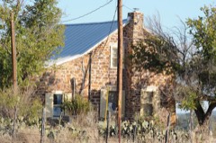 | Heinrich and Fredericka Hasse House | building | 1990 | 90000336 |
 | Mason Historic District | district | 1974 | 74002086 |
 | Mason Historic District (Boundary Increase) | district | 1991 | 91001526 |
 | Reynolds-Seaquist House | building | 1974 | 74002087 |
 | State Highway 9 Bridge at the Llano River | structure | 1996 | 96001128 |
Drawn when these were printed as single large sheets: the town seen from the air, and the county divided into its farms with every owner named. Each opens the original at the Library of Congress.

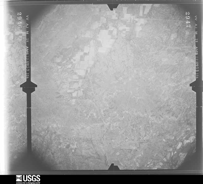
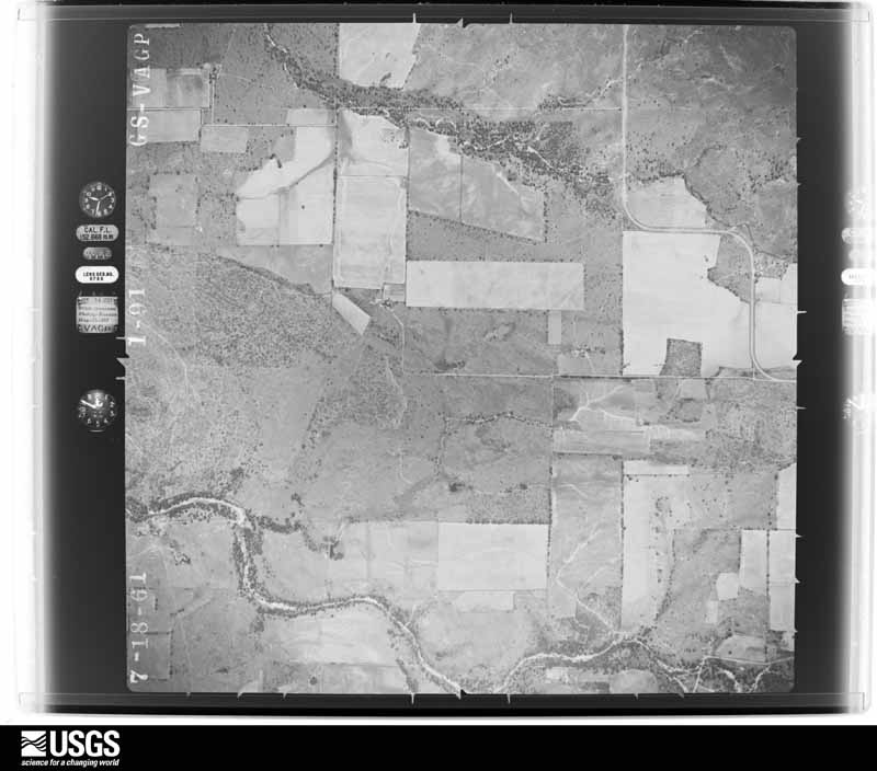
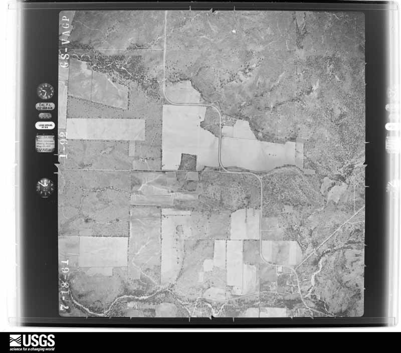
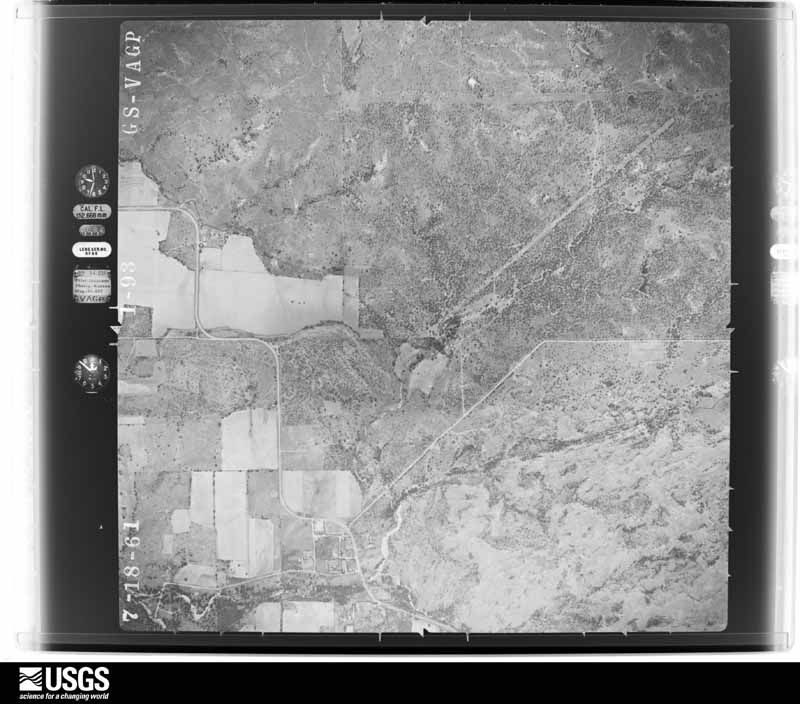
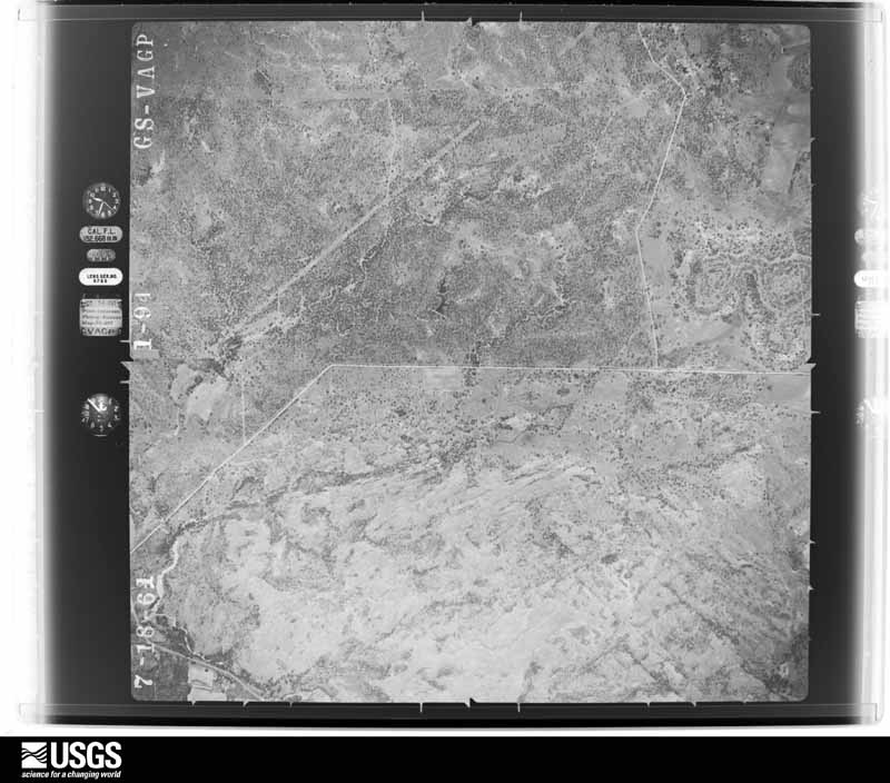
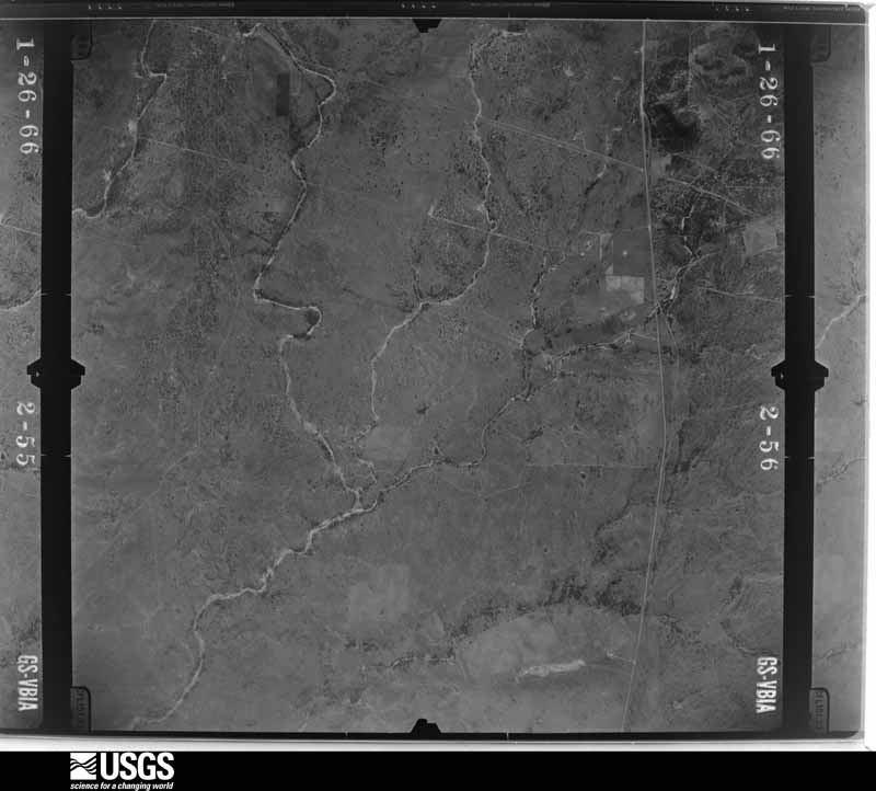
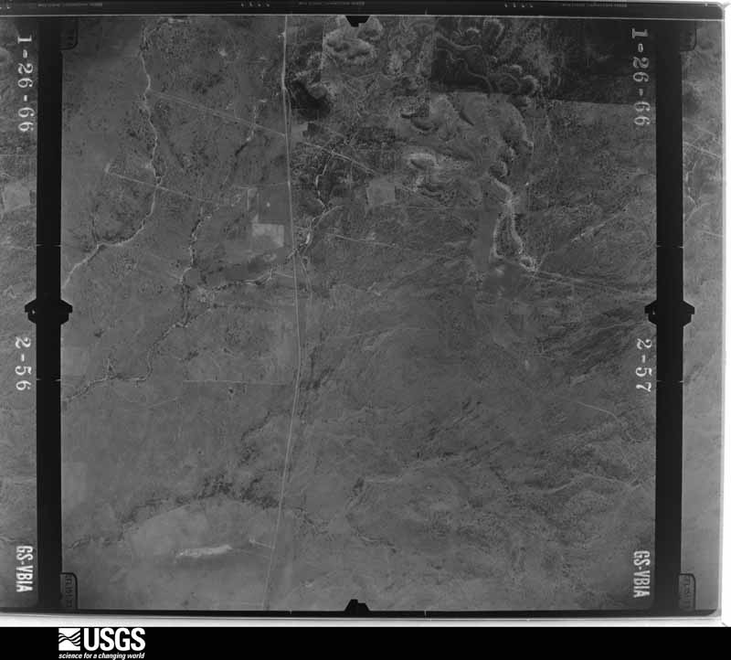
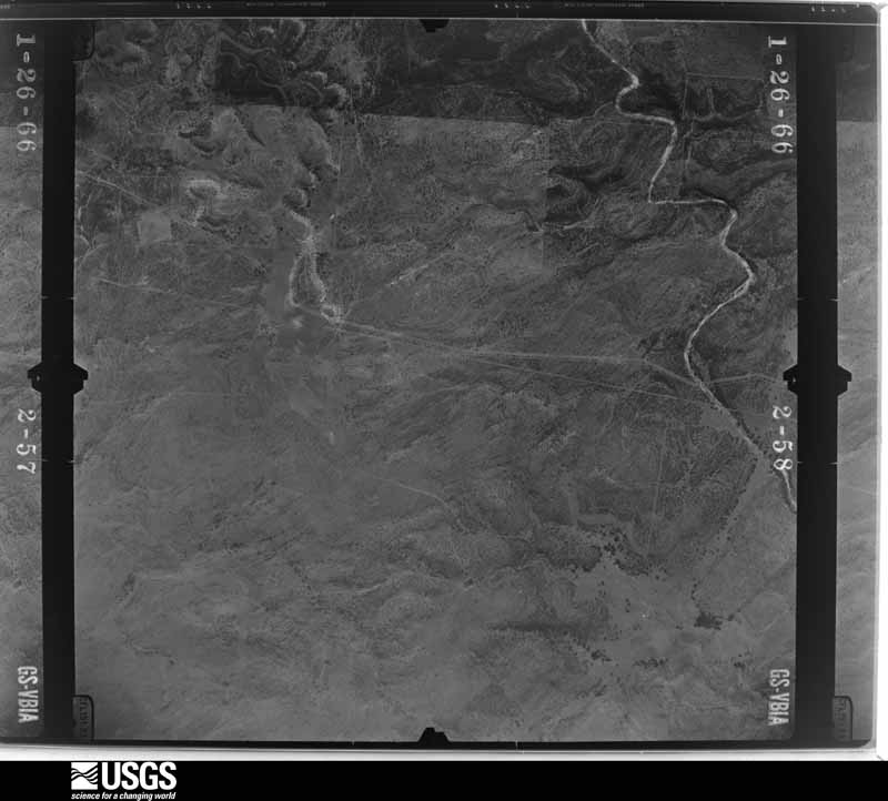
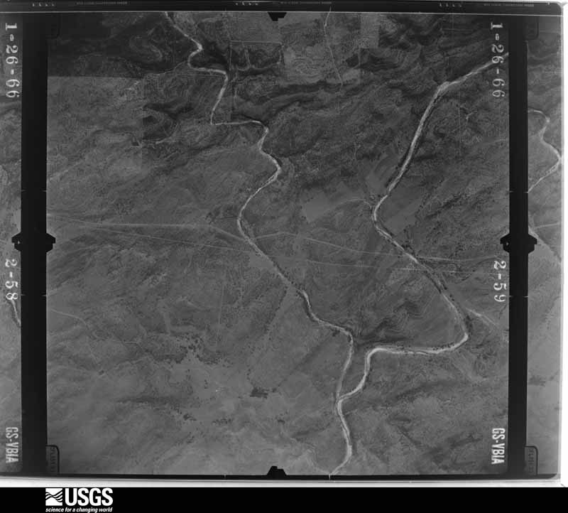
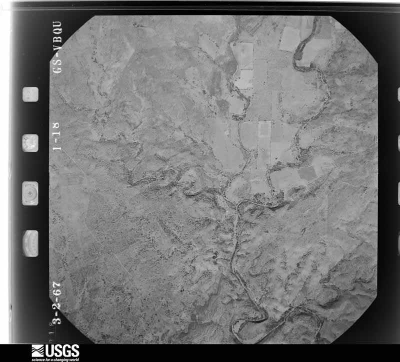
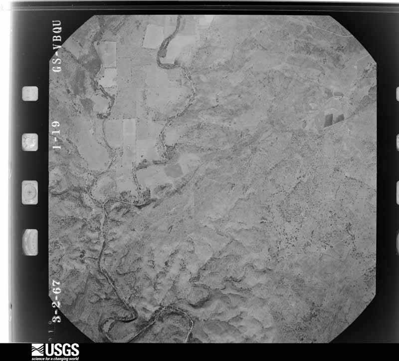
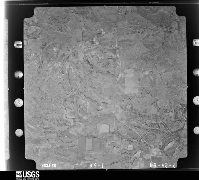
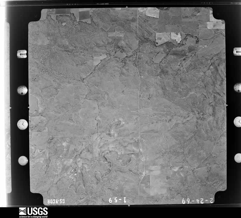
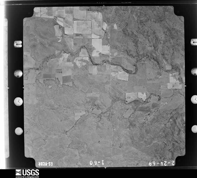
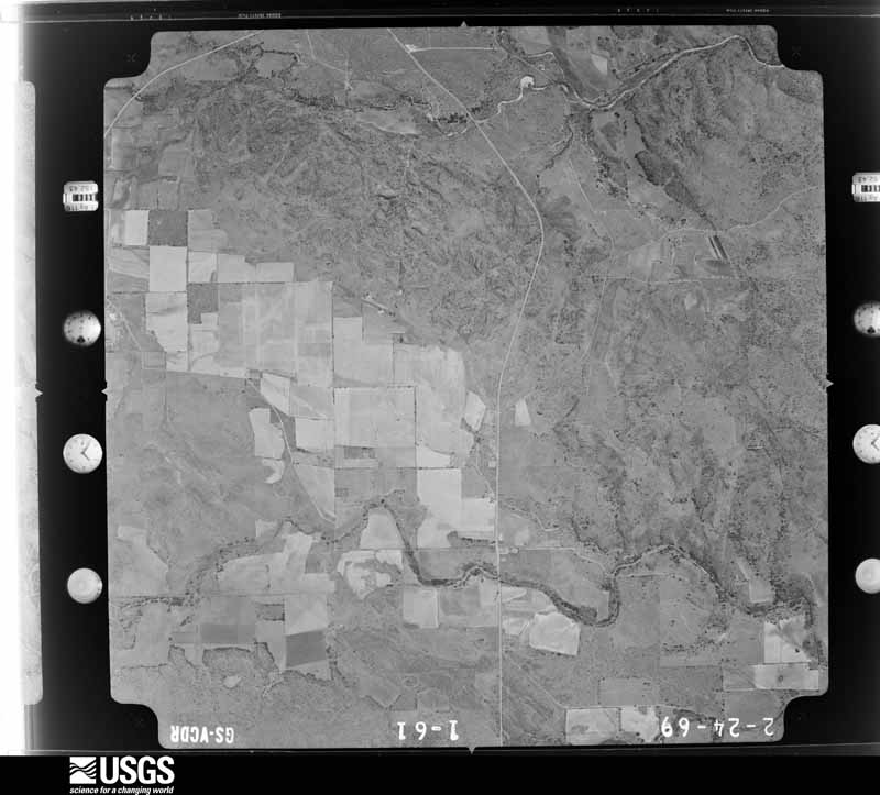
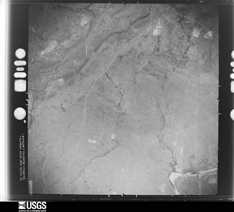
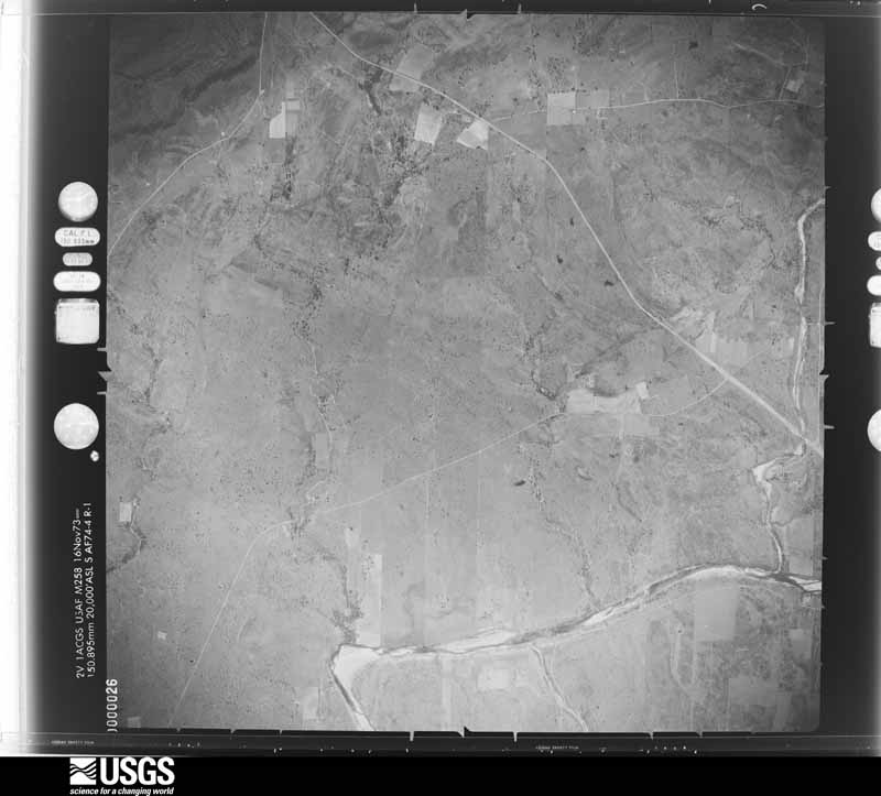
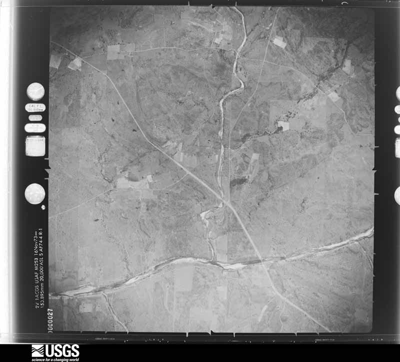
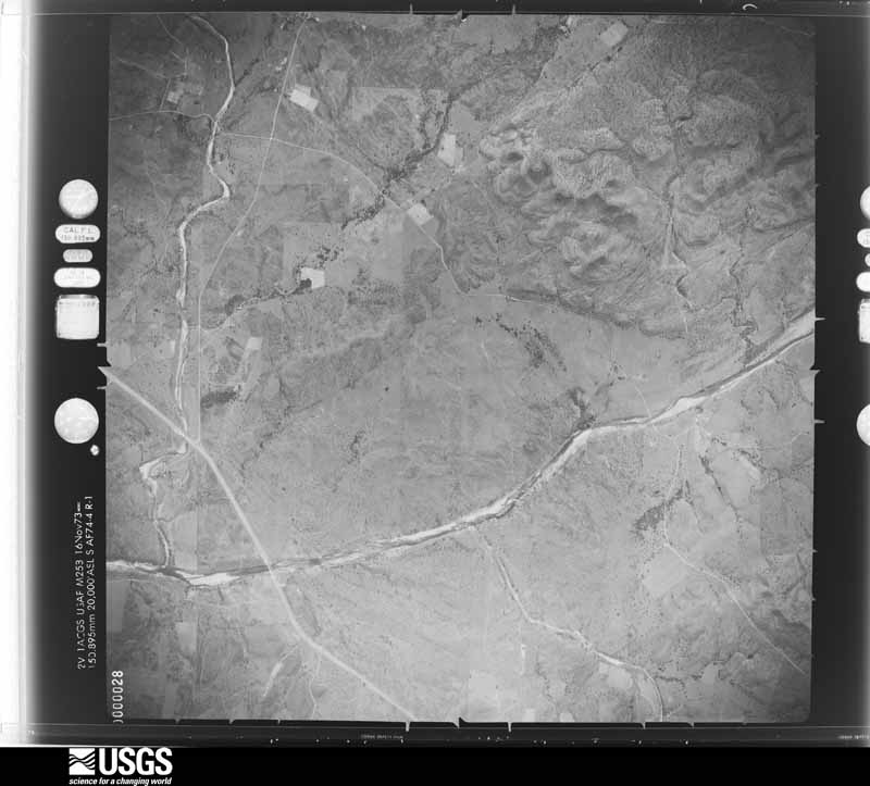
Flown by the U.S. Geological Survey between 1937 and 1989, the Aerial Photo Single Frames collection is the definitive mid-century view of the land: fields, roads and rivers as the camera saw them. The Survey holds 822 frames inside the rectangle that bounds this county; the 28 frames below were taken over the county itself, chosen across the decades of flights (at most four a year from that rectangle), so one flight cannot crowd out the rest. The full set is free to browse and download at EarthExplorer under the dataset Aerial Photo Single Frames.









The thermometers that kept this county's weather, and the gages that measured the flow of its streams, as the federal records hold them. The extremes below are measured values from those records, not estimates.
Who lived here in 1950, one enumeration district at a time, as the Census Bureau described each district. Each row opens its official National Archives result, with Population Schedules and ED Maps available there.
Every wildfire the federal occurrence database records inside this county: 314 of them, burning about 30,682 acres. 36 started naturally and 3 were recorded as arson. Each settlement page carries the fires within five miles of it.
| Reported cause | Fires |
|---|---|
| Missing data/not specified/undetermined | 111 |
| Debris and open burning | 87 |
| Equipment and vehicle use | 58 |
| Natural | 36 |
| Power generation/transmission/distribution | 14 |
| Recreation and ceremony | 3 |
| Arson/incendiarism | 3 |
| Smoking | 2 |
The five largest, by the area the report gives. None of them was recorded as arson.
| Date | Cause | Size | Reported by | Name on the report |
|---|---|---|---|---|
| 27 August 2015 | Power generation/transmission/distribution | 10,468 acres | Texas A & M Forest Service | EATON CEMETERY |
| 24 February 2011 | Debris and open burning | 4,500 acres | Texas A & M Forest Service | JAMES RIVER RD FIRE |
| 31 December 2007 | Equipment and vehicle use | 2,800 acres | Texas A & M Forest Service | ART |
| 14 April 2018 | Equipment and vehicle use | 1,400 acres | Texas A & M Forest Service | WALSTON |
| 10 July 2005 | Natural | 850 acres | Texas A & M Forest Service | ONION CREEK II |
| 4 June 2011 | Missing data/not specified/undetermined | 539 acres | Texas A & M Forest Service | HUNGRY HOLLOW FIRE |
| 25 February 2008 | Missing data/not specified/undetermined | 511 acres | Texas A & M Forest Service | 650 FIRE (CR386) |
| 23 July 2017 | Natural | 500 acres | Texas A & M Forest Service | RR152/JHSCHUESSLER |
Every settlement page carries the fires within five miles of it - see the settlement index below.
The NOAA Storm Events Database holds 237 reports for this county, causing 2 deaths, 8 injuries and about $14,921,030 in recorded property damage. Each settlement page carries the reports that name it.
| Kind of event | Reports |
|---|---|
| Hail | 154 |
| Thunderstorm Wind | 40 |
| Flash Flood | 25 |
| Tornado | 12 |
| Flood | 3 |
| Lightning | 1 |
| Heavy Rain | 1 |
| Funnel Cloud | 1 |
The most serious of them, by death, then injury, then recorded damage. The accounts are quoted exactly as the forecast office filed them.
| When | Event | Place named | Harm | What the report says |
|---|---|---|---|---|
| May 1999 | Tornado (F4) | Loyal Vly | 1 killed, 6 hurt, $750,000 | A large multiple-vortex tornado ripped through eastern Mason County during the late afternoon hours. The slow moving tornado first touched down near the Llano River 9 miles northwest of Loyal Valley and then travelled a 7-mile long path, finally dissipating 5 miles north of Loyal Valley. This tornado, whose width would reach three-quarters of a mile wide at times, caused widespread devastation. Two homes were completely destroyed, with debris scattered over great distances. Large pieces of a pick-up truck were located three-quarters of a mile away from the house where it had been left. Tragically, one person was killed and 5 others were injured when that same house was destroyed. The people had sought refuge in a car in a stone garage, but as the tornado tore across the garage, debris smashed through the car, killing one man and injuring the remaining occupants. Sixteen other houses were damaged, along with additional barns and outbuildings. Numerous head of cattle and deer were also killed as the tornado passed. When the tornado crossed Farm-to-Market Road 152, a stretch of asphalt 720 feet wide was ripped off of the road surface. |
| November 2000 | Flash Flood | Countywide | 1 killed, $15,000 | A series of thunderstorms produced 6 to 8 inches of rain across much of the county, causing most creeks and streams to rise out of their banks. Most roadways across the county became flooded and impassable. Tragically, one man was killed during the evening of the 3rd when his truck was washed away at a low water crossing along Beaver Creek southeast of Mason. |
| March 1979 | Tornado (F3) | not stated | 1 hurt, $2,500,000 | no account filed |
| May 2010 | Thunderstorm Wind | Mason | 1 hurt | A NWS survey team reported several trees down, a trading auction's facility roof was severely damage, and an old barn was also damaged. The team found no damage to nearby structures. Law Enforcement Officials reported many power lines down across the town of Mason. |
| October 2018 | Flood | Grit | $8,500,000 | Prolonged heavy rainfall flooded roads across Mason County and this flooding resulted in damage to 257 miles of road. |
| June 1997 | Flash Flood | Mason | $2,000,000 | Four to eight inches of rain fell over most of Mason County but much higher amounts fell in a few areas.In the town of Mason 10 to 11 inches of rain was reported and in northeast Mason County, there was an unofficial report of 25 inches of rain. Farm-to-Market roads were closed throughout the county. |
| November 1996 | Thunderstorm Wind | Mason | $500,000 | no account filed |
| May 2005 | Hail | Mason | $100,000 | The supercell that developed in northern Concho County reached Mason. The storm produced hail across the northern half of the city, and the largest hail stones were noted just to the east of town. Mason was spared considerable damage with the main core of the storm passing within a mile or two of town. |
| July 2002 | Flash Flood | Countywide | $100,000 | Heavy rains during the early morning hours produced widespread flooding over a large part of Mason County. There were numerous road closures during the height of the flooding. The majority of the property damage received was from road washouts. |
| June 2009 | Tornado (EF1) | Hedwigs Hill | $80,000 | National Weather Service Storm Survey Team found evidence of an EF1 track located about 9 miles southeast of Mason. The tornado damaged or uprooted numerous large oak trees and pushed a manufactured home off of its foundation. The tornado destroyed the porch, an outbuilding, and a roof of a nearby home. |
| May 2006 | Tornado (F0) | Mason | $80,000 | The tornado damaged trees, a metal fence, and ripped some sheet metal roofing off a barn. A hunting cabin was also destroyed. |
| May 2006 | Tornado (F1) | Loyal Vly | $75,000 | The tornado produced considerable tree damage. |
| October 1996 | Flash Flood | Mason | $50,000 | no account filed |
| June 2009 | Thunderstorm Wind | Katemcy | $40,000 | A few roofs were blown off and tree limbs were broken. |
| May 1976 | Tornado (F1) | not stated | $25,000 | no account filed |
| June 2004 | Flash Flood | East Portion | $15,000 | Heavy rains on the morning and early afternoon of the 9th, flooded several roads in the eastern portions of Mason county. Several rural roads were scoured. Beaver creek near Mason reached bank full stage. |
| January 1995 | Hail | Mason | $10,000 | Thunderstorms produced large hail in a strip one mile long and three miles wide west of the city of Mason. Trees were stripped of their leaves and hail was piled up to 12 inches deep in places. Cars were dented and windows were broken in homes and buildings. Grass and vegetation was reported to have been beaten to the ground in the storm. The thunderstorm moved northeastward but produced no large hail in Mason. |
| May 2004 | Hail | Mason | $10,000 | no account filed |
| May 2004 | Hail | Mason | $10,000 | no account filed |
| April 2007 | Hail | Hedwigs Hill | $8,000 | The large hail broke residential windows and a truck windshield. |
| April 2002 | Tornado (F0) | Katemcy | $8,000 | Brief tornado touchdown in eastern Mason county and demolished a travel trailer. |
| March 2004 | Thunderstorm Wind | Mason | $5,000 | A storage shed and trees were blown over. |
| November 2000 | Thunderstorm Wind | Mason | $5,000 | Thunderstorm winds downed tree limbs and power lines across the town of Mason. |
| February 1998 | Thunderstorm Wind | Mason | $5,000 | no account filed |
| August 1997 | Thunderstorm Wind | Mason | $5,000 | no account filed |
| May 1994 | Hail | Mason | $5,000 | no account filed |
| May 1994 | Hail | Mason | $5,000 | no account filed |
| May 1994 | Hail | Mason | $5,000 | no account filed |
| July 1998 | Thunderstorm Wind | Fredonia | $3,000 | A barn suffered roof damage and a shed was partially destroyed. |
| September 2003 | Thunderstorm Wind | Mason | $2,000 | Strong thunderstorm winds ripped shingles off of a roof and knocked down tree limbs. |
| July 2000 | Thunderstorm Wind | Mason | $2,000 | A downburst struck near the town of Mason. A telephone pole was snapped and several trees were blown over. |
| February 1998 | Lightning | Mason | $2,000 | 5 heifers struck and killed by lightning |
| September 2003 | Flash Flood | Countywide | $1,000 | Thunderstorms ahead of a cold front produced up to four inches of rain over Mason county in the late afternoon and evening of the 11th. This produced significant flooding in the city of Mason and secondary roads throughout the county. |
| September 1974 | Tornado (F0) | not stated | $30 | no account filed |
| May 2025 | Hail | Mason | - | A trained spotter reported a lot of 1 inch diameter size hail with a few golf ball size hail mixed in. |
| May 2025 | Hail | Koockville | - | Law enforcement reported quarter size hail. |
| May 2025 | Thunderstorm Wind | Koockville | - | Law enforcement reported a power line blown down. |
| May 2025 | Hail | Koockville | - | Public reported quarter size hail. |
| May 2025 | Hail | Loyal Vly | - | Public report of 2 inch diameter size hail 3 miles northwest of Loyal Valley. |
| July 2025 | Flash Flood | Air | - | Law enforcement reported that US Highway 87 was flooded near Dry Prong Road, north of the city of Mason. Time was estimated by radar. |
| July 2025 | Flash Flood | Grit | - | Law enforcement reported that the split at State Highway 29 and US Highway 377 was flooded, west-northwest of the city of Mason. Time was estimated by radar. |
| July 2025 | Flash Flood | Mason | - | Law enforcement reported that a low water crossing along James River Road was flooded. Time is estimated by radar. |
| July 2025 | Flash Flood | Koockville | - | The Mason County Sheriff's Office reported two streets significantly flooded with approximately 3 feet of water deep over the road. In addition, four low water crossings in Mason County were flooded with a foot of water deep at each of those low water crossings. |
| July 2025 | Flash Flood | Streeter | - | Law enforcement reported that the town of Streeter was flooded. The time of the report was estimated by radar. |
| March 2024 | Hail | Koockville | - | Public reported pea to quarter size hail. |
| May 2024 | Thunderstorm Wind | Koockville | - | An Emergency Manager reported there was part of a roof blown off and a few trees blown down at the high school and park in Mason. |
| May 2024 | Thunderstorm Wind | Katemcy | - | There was a roof to a house was partially blown off. |
| May 2024 | Hail | Koockville | - | A storm chaser reported golf ball size and larger hail across Mason. |
| April 2024 | Hail | Loyal Vly | - | A trained spotter reported 2 inch diameter hail in Loyal Valley. |
| April 2023 | Hail | Grit | - | The report was from mping. |
| April 2023 | Hail | Koockville | - | The report was from mping. |
| April 2023 | Hail | Streeter | - | The report was from mping. |
| April 2023 | Hail | Hedwigs Hill | - | The report was from mping. |
| April 2023 | Flood | Koockville | - | The report is from mping. |
| April 2023 | Hail | Streeter | - | There was hen egg to tennis ball size hail reported. |
| April 2023 | Hail | Koockville | - | The hail size was estimated while driving on Highway 87. |
| April 2023 | Hail | Loyal Vly | - | The public reported golf ball size hail 4.2 miles south of Loyal Valley. The time was estimated by radar. |
| April 2023 | Thunderstorm Wind | Grit | - | There were trees uprooted and a roof was blown off. Public report from mPING. |
| June 2023 | Hail | Katemcy | - | The public reported golf ball size hail in Katemcy. |
| June 2023 | Hail | Streeter | - | The public reported golf ball size hail and very strong winds 2 miles north-northeast of Ema. |
The Survey's mineral resources record lists 10 workings inside this county. 3 still produce and 7 are closed or unrecorded. Each settlement page carries the workings within five miles of it.
| Commodity | Workings |
|---|---|
| Tin | 3 |
| Copper | 2 |
| Manganese | 2 |
| Stone, Dimension | 1 |
| Granite | 1 |
| Sand and Gravel, Industrial/Frac Sand | 1 |
The least common of them first, because a county's hundredth gravel pit says nothing its first ten did not.
| Where | Site | Commodity | Status | Recorded |
|---|---|---|---|---|
| Erna Frac Sand | Sand and Gravel, Industrial/Frac Sand | Producer | ||
| Mason County Quarry | Granite | Producer | ||
| Unnamed Quarry | Stone, Dimension | Producer | Granite | |
| Bauer Prospect | Copper | Occurrence | ||
| Haynie Mine | Copper | Occurrence | ||
| Kothmann Tract | Manganese | Unknown | 1910 | |
| Spiller Mine | Manganese | Unknown | 1910 | |
| Grit Stream Tin Deposits | Tin | Occurrence | 1908 | |
| Streeter Stream Tin Deposit | Tin | Occurrence | 1908 | |
| Tin Prospect | Tin | Occurrence |
Named settlements recorded in the Geographic Names Information System, each with the topographic sheets covering it. Villages, hamlets and abandoned places alike. Each is shown with the nearest named watercourse or landform and the survey quadrangle it falls on.
Mason East census division · 76842 · On Spice Creek · Fredonia quadrangle
13 sheets, 1887 to 1985
Mason West census division · 76856 · On Rafael Creek · Mason quadrangle
13 sheets, 1887 to 1985
Mason West census division · 76856 · On Church Creek · Loyal Valley quadrangle
13 sheets, 1887 to 1985
Mason East census division · 76825 · On Dry Fork Katemcy Creek · Katemcy quadrangle
13 sheets, 1887 to 1985
Mason East census division · 76856 · On West Comanche Creek · Purdy Hill quadrangle
12 sheets, 1887 to 1985
Mason East census division · 76856 · Near Deep Hollow · Loyal Valley quadrangle
13 sheets, 1887 to 1985
Mason East census division · 76856 · On Koocks Branch · Mason quadrangle
13 sheets, 1887 to 1985