 Block
BlockMoore County, Texas
32 topographic sheets cover 15 settlements here.
Research this county
What the record shows
- 99 topographic sheet readings cover the county's settlements.
- The Geographic Names Information System records 15 populated places in this county; 15 are covered by at least one topographic sheet.
The county from the air
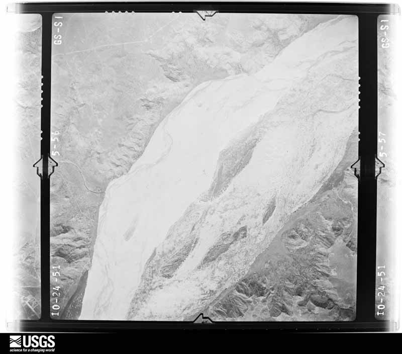
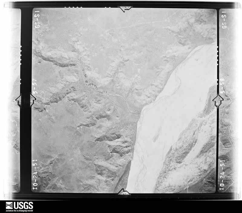
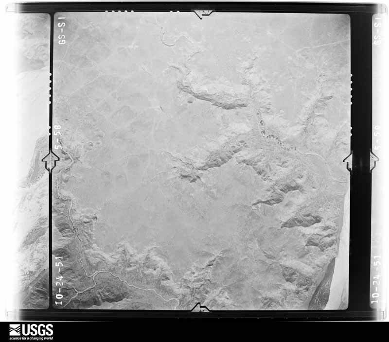
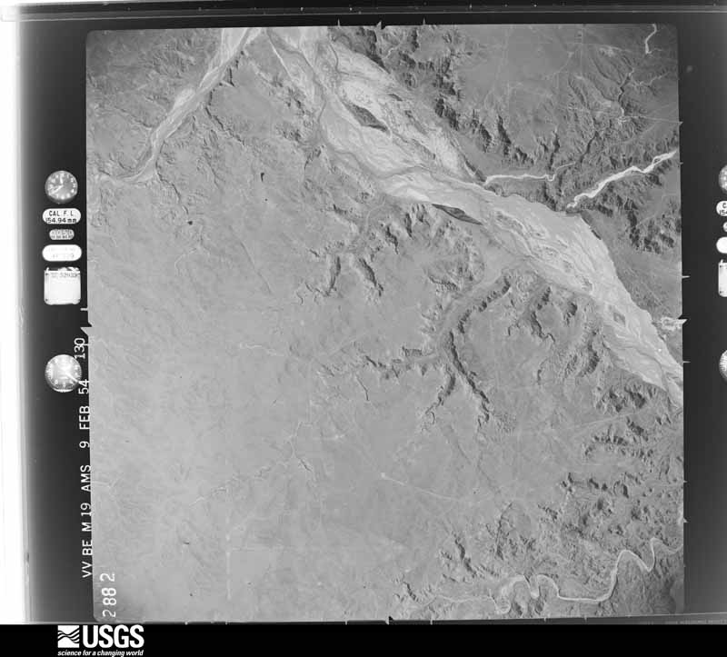
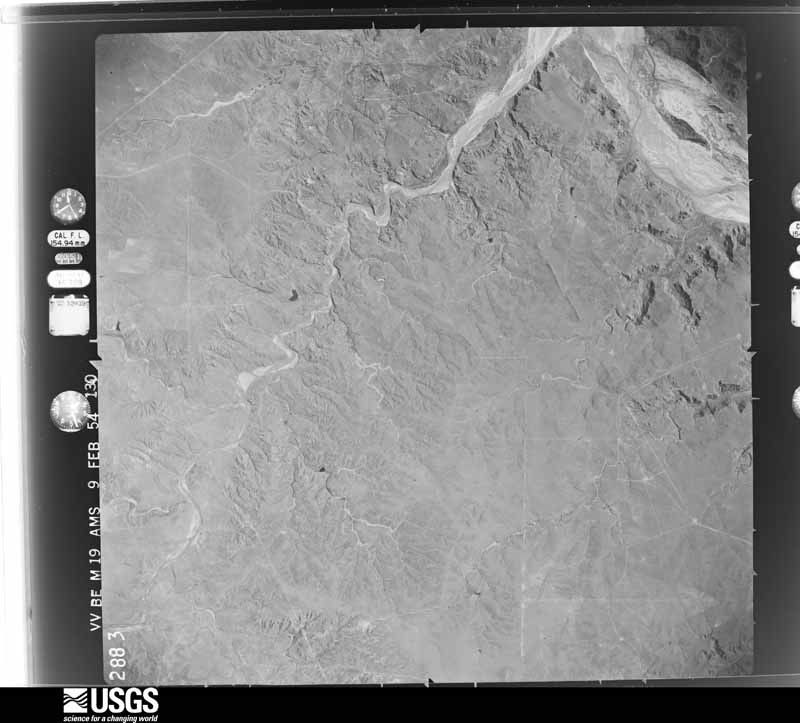
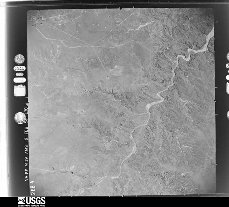
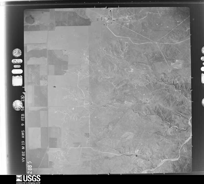
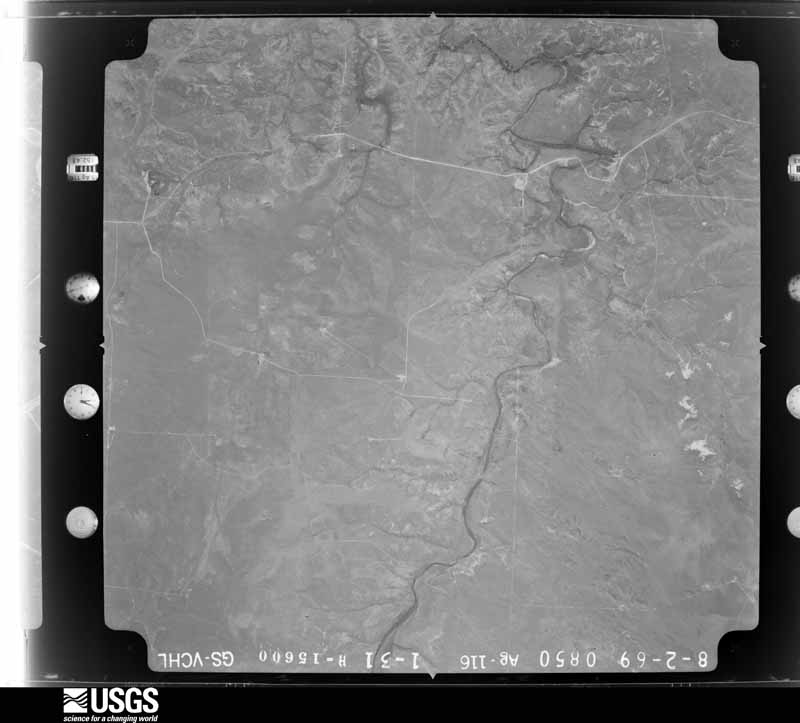
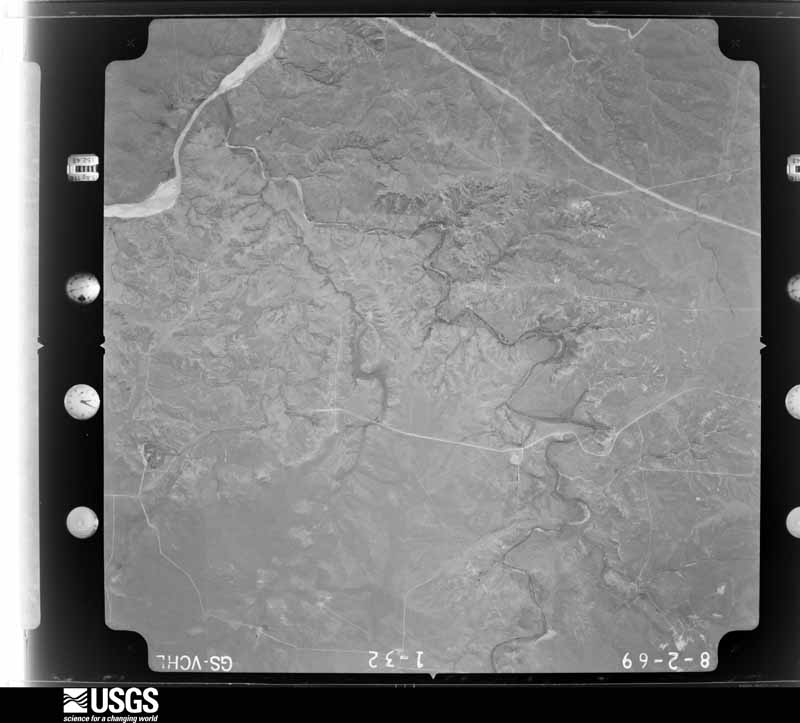
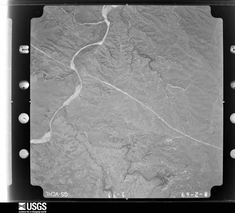
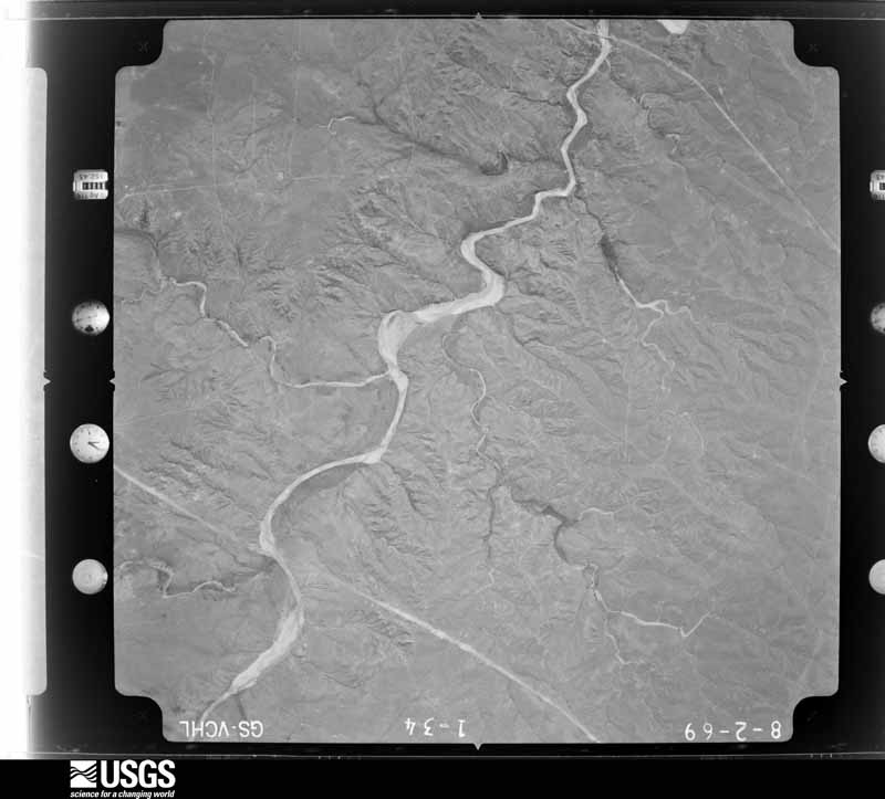
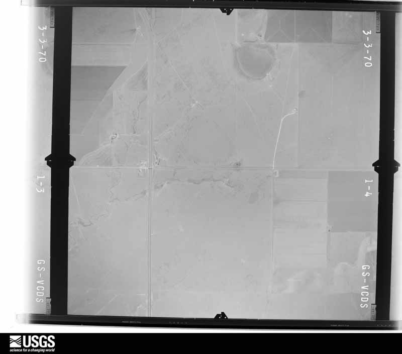
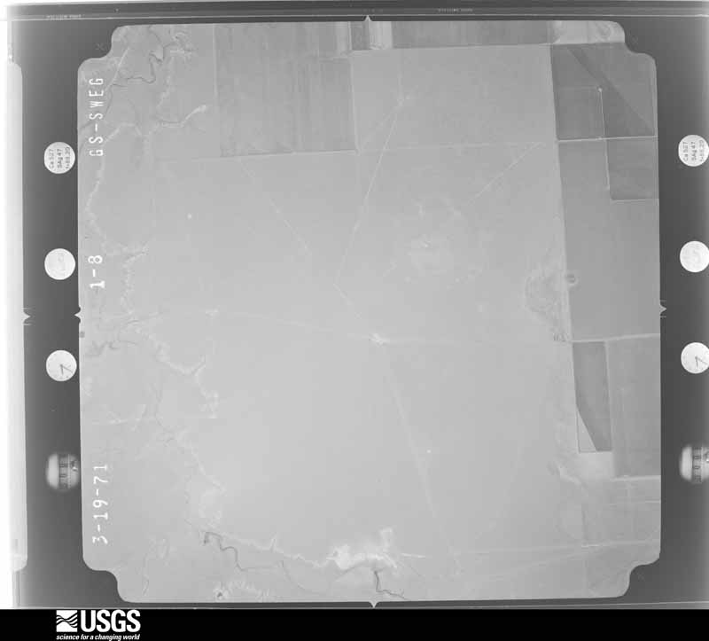
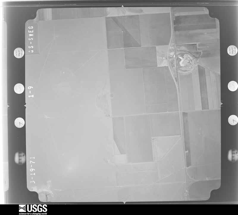
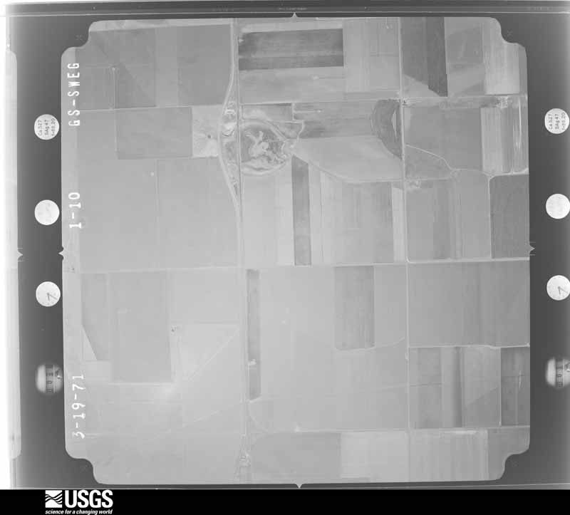
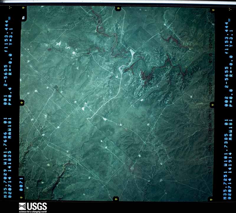
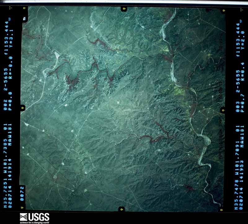
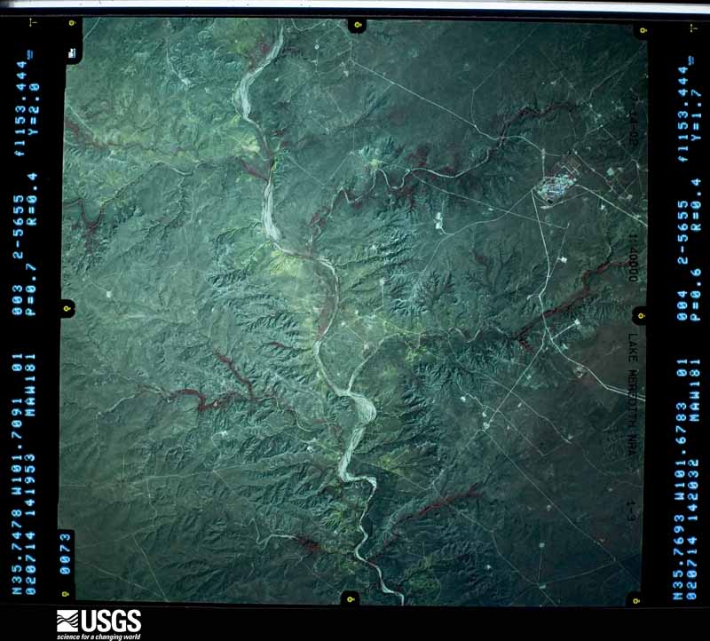
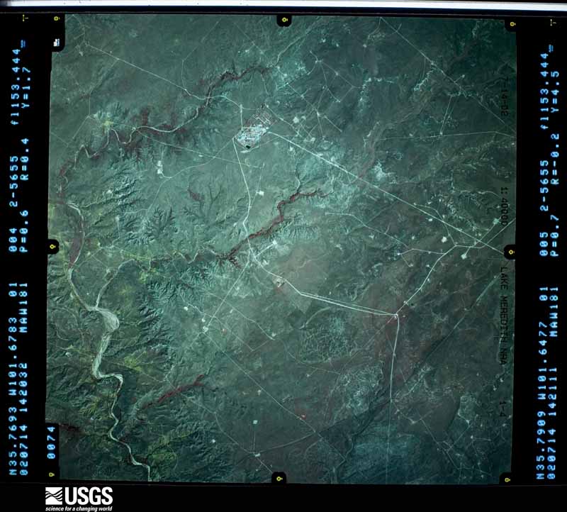
34 shownFlown by the U.S. Geological Survey between 1937 and 1989, the Aerial Photo Single Frames collection is the definitive mid-century view of the land: fields, roads and rivers as the camera saw them. The Survey holds 1,005 frames inside the rectangle that bounds this county; the 34 frames below were taken over the county itself, chosen across the decades of flights (at most four a year from that rectangle), so one flight cannot crowd out the rest. The full set is free to browse and download at EarthExplorer under the dataset Aerial Photo Single Frames.















Weather records
8 stations, 1 gageThe thermometers that kept this county's weather, and the gages that measured the flow of its streams, as the federal records hold them. The extremes below are measured values from those records, not estimates.
- SUNRAY 4 SW 1932 to 1984, hottest 42.2 C, coldest -24.4 C
- DUMAS 1937 to 2022, hottest 42.8 C, coldest -72.8 C
- BAUTISTA NEAR SCS #35 1941 to 1942
- DUMAS NEAR SCS #34 1941 to 1942
- ETTER NEAR SCS #33 1941 to 1942
- SUNRAY NEAR SCS #37 1941 to 1942
- DUMAS 8 NE 1948 to 1951
- CHANNING 11 NE 1990 to 1991, hottest 41.7 C, coldest -21.7 C
- Big Blue Ck nr Fritch, TX 2010 to 2026
The 1950 census, district by district
13 districtsWho lived here in 1950, one enumeration district at a time, as the Census Bureau described each district. Each row opens its official National Archives result, with Population Schedules and ED Maps available there.
- 171-1Justice Precinct 1: Dumas city: Dumas city - That part Bounded by City limits; City limits; State Highway 152, 1st, U.S. Highway 87; City limits
- 171-2Justice Precinct 1: Dumas city - That part Bounded by U.S. Highway 87; Birge Ave.; City limits; City limits
- 171-3Justice Precinct 1: Dumas city - That part Bounded by 1st, State Highway 152; City limits; City limits, Maddox Ave., 5th; Birge Ave.
- 171-4BN/A
- 171-4AN/A
- 171-5Justice Precinct 1: Dumas city - That part Bounded by 9th; City limits; City limits; Birge Ave.
- 171-6Justice Precinct 1 - That part outside Dumas city, excluding Cactus Ordnance Works
- 171-7Cactus Ordnance Works (In Justice Precinct 1)
- 171-8Justice Precinct 2
- 171-9Justice Precinct 3
- 171-10Justice Precinct 4: Sunray town: Sunray town - That part north of Louise Ave.
- 171-11Justice Precinct 4: Sunray town - That part south of Louise Ave.
- 171-12Justice Precinct 4 - That part outside Sunray town
Wildfire, 1992 to 2020
338 firesEvery wildfire the federal occurrence database records inside this county: 338 of them, burning about 102,351 acres. 17 started naturally and 9 were recorded as arson. Each settlement page carries the fires within five miles of it.
| Reported cause | Fires |
|---|---|
| Missing data/not specified/undetermined | 166 |
| Recreation and ceremony | 48 |
| Equipment and vehicle use | 36 |
| Power generation/transmission/distribution | 22 |
| Natural | 17 |
| Debris and open burning | 16 |
| Fireworks | 9 |
| Arson/incendiarism | 9 |
| Railroad operations and maintenance | 8 |
| Misuse of fire by a minor | 3 |
| Other causes | 2 |
| Smoking | 2 |
The five largest, by the area the report gives. None of them was recorded as arson.
| Date | Cause | Size | Reported by | Name on the report |
|---|---|---|---|---|
| 9 April 2011 | Missing data/not specified/undetermined | 60,000 acres | Lake Meredith National Recreation Area | CRAWFORD RANCH |
| 17 February 2011 | Missing data/not specified/undetermined | 7,943 acres | Texas A & M Forest Service | MOORE COUNTY FIRE |
| 19 June 2011 | Missing data/not specified/undetermined | 5,000 acres | Lake Meredith National Recreation Area | MASTERSON |
| 18 March 2018 | Power generation/transmission/distribution | 4,500 acres | Amarillo Field Office | OLD MUDDY ROAD |
| 11 July 2020 | Missing data/not specified/undetermined | 4,355 acres | Lake Meredith National Recreation Area | BLUE CREEK |
| 13 March 2019 | Missing data/not specified/undetermined | 2,700 acres | Lake Meredith National Recreation Area | BUGBEE |
| 12 May 2006 | Equipment and vehicle use | 2,430 acres | Texas A & M Forest Service | BRENT FIRE |
| 15 June 2006 | Natural | 2,000 acres | Texas A & M Forest Service | not named |
Every settlement page carries the fires within five miles of it - see the settlement index below.
Storms, 1957 to 2026
60 of 654 shownThe NOAA Storm Events Database holds 654 reports for this county, causing no deaths, 18 injuries and about $31,238,180 in recorded property damage. Each settlement page carries the reports that name it.
| Kind of event | Reports |
|---|---|
| Hail | 420 |
| Thunderstorm Wind | 153 |
| Tornado | 58 |
| Flash Flood | 18 |
| Heavy Rain | 2 |
| Funnel Cloud | 2 |
| Flood | 1 |
The most serious of them, by death, then injury, then recorded damage. The accounts are quoted exactly as the forecast office filed them.
| When | Event | Place named | Harm | What the report says |
|---|---|---|---|---|
| April 2007 | Tornado (EF2) | Dumas | 14 hurt, $1,300,000 | This tornado formed ten miles west southwest of Dumas at 1816 CST and tracked northeast for about twenty miles before exiting Moore county one half of a mile north of Cactus at 1840 CST. The tornado continued in Sherman county for about another four miles...before dissipating at 1852 CST. In Moore county...evidence suggested that the tornado was about three quarters of a mile wide as it passed through the town of Cactus. The most significant damage occurred across the northwest half of Cactus...but most homes and businesses received some damage as a result of this tornado. It is estimated that at least ten mobile homes were demolished and many more left uninhabitable. Fourteen people were injured in Cactus...however there were no fatalities. On April 25...Governor Rick Perry declared a State of Emergency in two proclamations for Moore county as a result of the Cactus tornado. The Governor also requested President Bush to declare a Presidential Disaster Declaration for the county. |
| May 1986 | Thunderstorm Wind | not stated | 2 hurt | no account filed |
| May 1998 | Flash Flood | Dumas | 1 hurt | One car accident from water over State Highway 152 on the east side of Dumas, caused one injury. |
| June 2010 | Hail | Dumas | 1 hurt | no account filed |
| June 1992 | Tornado (F4) | not stated | $25,000,000 | no account filed |
| March 1982 | Tornado (F4) | not stated | $2,500,000 | no account filed |
| June 1994 | Thunderstorm Wind | Dumas | $500,000 | no account filed |
| August 2025 | Thunderstorm Wind | Sunray | $250,000 | A severe thunderstorm moved across portions of Moore County during the early morning hours of August 3, 2025. It produced significant, widespread damage to portions of the county from north of Dumas and especially across the town of Sunray. Based on pictures and radar imagery, it has been determined that this damage is attributed to straight line winds. The most significant damage occurred in Sunray. Here, numerous trees were snapped or uprooted. Several power poles were snapped, center pivots were flipped, a few light poles were bent at the base. The press box at the high school sports complex was destroyed. Other structure damage included destroyed|outbuildings and barns as well as roof damage to homes and businesses. Train|cars were laid on their side off a track between Cactus and Sunray. All of the damage was laid in a pattern that is indicative of straight line winds and no convergence of damage was noted. |
| June 1992 | Tornado (F3) | not stated | $250,000 | no account filed |
| June 1992 | Tornado (F1) | not stated | $250,000 | no account filed |
| April 2025 | Hail | Dumas Muni Arpt | $200,000 | A supercell thunderstorm tracked across Dumas, producing hail up to tennis ball size. Windows were blown out of patrol vehicles due to the hail. |
| August 2002 | Thunderstorm Wind | Dumas | $200,000 | Widespread wind damage across western sections of Dumas including roofs which were torn off of two homes and another home had an attached garage totally destroyed leaving debris for one quarter of a mile. Another home had a cement brick fence destroyed. A storm damage survey was done on this event. |
| June 2012 | Thunderstorm Wind | Sunray | $100,000 | The Moore County Emergency Management Office reported that thunderstorm wind gusts resulted in considerable damage in the town of Sunray Texas in Moore County. An official National Weather Service Storm Survey confirmed that the damage was caused by a downburst. The damage was mainly on the north side of Sunray with some of the most serious damage being a metal roof which was blown off of a business and blown one block away into the street. Also, an empty mobile home was flipped and a large moving truck was tipped on its side. Other damage included several trees and tree limbs which were blown down as well as numerous power lines. Several windows were blown out in homes. |
| April 2012 | Flash Flood | Etter | $100,000 | The Moore County Emergency Manager reported that County Road E and Farm to Market Road 281 were closed due to flowing water. There were numerous homes and businesses that were flooded in the Etter and Cactus, Texas areas. There were no reports of injuries. |
| June 2010 | Thunderstorm Wind | Dumas | $100,000 | The Moore County Emergency Manager reported that three mobile homes had blown off of their foundations and into the road at the sixteen hundred block of Binkley Avenue in Dumas Texas. |
| August 2002 | Flash Flood | Dumas | $70,000 | About twelve downtown businesses received flood damage and around eight homes also received flood damage. Numerous cars were stalled with two feet of water covering roads. Water also entered the Moore County Jail. |
| June 1999 | Thunderstorm Wind | Etter | $70,000 | Report of roof blown off a building. |
| May 2003 | Thunderstorm Wind | Cactus | $45,000 | High winds tore the roof off of a trailer home. |
| May 2001 | Thunderstorm Wind | Dumas | $40,000 | Numerous trees and power lines and Telco poles reported down. A commercial sign was also reported blown down. |
| March 2000 | Thunderstorm Wind | Cactus | $30,000 | The shop building door was blown off from the Cactus Feed Yard along with windows blown out. |
| May 1995 | Hail | Dumas | $25,000 | no account filed |
| June 1995 | Hail | Fritch | $25,000 | no account filed |
| July 1959 | Tornado (F1) | not stated | $25,000 | no account filed |
| April 2007 | Tornado (EF1) | Sunray | $18,000 | This tornado formed four miles east of Sunray at 1936 CST and moved north exiting Moore county five miles east northeast of Sunray at 1939 CST. The tornado continued into Sherman county for about another six miles before dissipating at 1950 CST. Empty rail cars were overturned northeast of Sunray and a barn was destroyed along with roof damage to several hog barns. No injuries were reported. While in Moore county...the tornado was rated as EF1 but in Sherman county it was rated EF0. |
| August 2006 | Thunderstorm Wind | Dumas | $17,000 | Numerous two to twelve inch tree branches blown down...two willow trees uprooted...and two irrigation pivots overturned and damaged by the high winds at the Pheasant Trails Golf Course. Also...two aluminum garage doors were blown in and badly damaged. One house lost many shingles on the north facing side...a fence with metal posts was partially blown down...and an aluminum roof on a storage shed was ripped up. |
| July 2025 | Thunderstorm Wind | Four Way | $16,000 | Two semi trucks were blown over at the rest stop on Highway 287 south of Dumas. |
| May 2010 | Hail | Dumas | $12,000 | The Emergency Manager for Moore County received numerous reports of cars receiving hail damage including broken windows. |
| June 2006 | Thunderstorm Wind | Cactus | $12,000 | Two grain bins reported to be overturned by the high winds. |
| June 2010 | Thunderstorm Wind | Cactus | $10,000 | Local law enforcement officials reported multiple power lines had blown down...dumpsters were overturned...tree limbs had blown down...a water tank had blown over...shingles had blown off roofs of homes in the area...and a roof had blown off a local business by the strong thunderstorm wind gusts. |
| June 2002 | Thunderstorm Wind | Masterson | $10,000 | Powerlines reported down. |
| April 2012 | Hail | Dumas | $10,000 | no account filed |
| April 2007 | Tornado (EF2) | Four Way | $8,000 | This tornado developed approximately one to two miles south of Farm to Market Road 1913 about three miles east of Four Way...and likely dissipated near State Highway 152 five miles east of Dumas. Visible damage was limited to five single power poles snapped...fence downed...and large round hay bales were tossed around. No injuries were reported. |
| April 2007 | Tornado (EF1) | Sunray | $8,000 | This tornado formed near the Valero McKee Refinery which is located about six miles southwest of Sunray at 1959 CST. The tornado was rated a strong EF1...with winds approaching one hundred and ten miles an hour. Damage was reported to double wooden power poles that were snapped near their bases. The tornado resulted in minor damage to the southeast side of the Valero property. No injuries were reported. |
| September 2007 | Thunderstorm Wind | Capps | $8,000 | The Emergency Manager in Moore County confirmed that six telephone poles were snapped...all pointing to the northeast. This occurred just west of Farm to Market Road 1060 on State Highway 152 in eastern Moore County. No injuries were reported. |
| April 2007 | Tornado (EF1) | Dumas | $6,000 | This tornado formed four miles east of Dumas at 1945 CST and moved northeast and likely dissipated about four miles south of Sunray at 2000 CST. Minor damage was reported at Texas Beef Feedyard. Damage included double wooden power poles which were snapped near their bases. No injuries were reported. |
| May 2023 | Thunderstorm Wind | Cactus | $5,000 | A metal roof was blown off one of the apartment buildings at the Cactus JBS apartments. |
| June 2012 | Thunderstorm Wind | Dumas | $5,000 | The Moore County Emergency Managers Office reported that tree branches around six to twelve inches in diameter were blown down. There was also a live tree around twelve to fourteen inches in diameter which was split in half with one half of the tree lying on the ground. All of the damage was confined to within a two block area. There were no reports of injuries or fatalities. |
| May 2024 | Thunderstorm Wind | Cactus | $4,000 | A three inch diameter tree limb was snapped. A couple of dead or diseased trees were uprooted. One of these trees fell on and damaged a residents chain link fence. |
| June 1965 | Tornado (F2) | not stated | $2,500 | no account filed |
| June 2010 | Hail | Sunray | $2,000 | The large hail came through the window of the vehicle which the storm chaser was driving and caused minor cuts to the driver. |
| May 2008 | Thunderstorm Wind | Dumas | $2,000 | The high winds blew down two power poles. |
| May 2010 | Thunderstorm Wind | Dumas | $1,000 | The Moore County Emergency Manager reported one downed power pole in Dumas Texas. No injuries were reported. |
| May 2010 | Hail | Dumas | $1,000 | The Moore County Emergency Manager reported one window broken by the large hail at the Walmart in Dumas Texas. |
| May 1967 | Tornado (F2) | not stated | $250 | no account filed |
| June 1965 | Tornado (F2) | not stated | $250 | no account filed |
| May 1983 | Tornado (F0) | not stated | $30 | no account filed |
| May 1982 | Tornado (F0) | not stated | $30 | no account filed |
| June 1981 | Tornado (F0) | not stated | $30 | no account filed |
| June 1981 | Tornado (F0) | not stated | $30 | no account filed |
| May 1980 | Tornado (F1) | not stated | $30 | no account filed |
| August 1964 | Tornado (F2) | not stated | $30 | no account filed |
| June 2025 | Thunderstorm Wind | Four Way | - | A trained spotter estimated wind gusts at the leading edge of a line of storms to be around 65mph. |
| July 2025 | Thunderstorm Wind | Dumas | - | The mesonet site located three miles southeast of Dumas measured two severe wind gusts in consecutive minutes. The first was 71mph at 2312 CDT and the second was 61mph at 2313CDT. |
| May 2024 | Hail | Sunray | - | Quarter to half dollar size hail fell in Sunray. |
| May 2024 | Hail | Four Way | - | Hail up to penny size fell to the north of the main hail core of the storm. |
| May 2024 | Thunderstorm Wind | Dumas | - | This gust was from decaying thunderstorms, not so much from a strong/severe storm that had a strong updraft. This gust is assumed to be from rain falling through a dry low level layer creating cooling and sinking air. |
| August 2024 | Thunderstorm Wind | Dumas | - | This wind gust was in association with the outflow boundary moving through the area. |
| April 2023 | Thunderstorm Wind | Lake Meredith | - | Gust was associated with the gust front ahead of the line. |
| May 2023 | Hail | Etter | - | Road was lightly covered with hail. |
| May 2023 | Flash Flood | Cactus | - | Torrential rainfall rates of 3 to 5 inches per hour resulted in major street flooding throughout town. Vehicles were stranded with several water rescues being conducted. Some streets had fast flowing water over a foot deep covering the street. |
Mines and quarries
4 recordedThe Survey's mineral resources record lists 4 workings inside this county. 3 still produce and 1 is closed or unrecorded. Each settlement page carries the workings within five miles of it.
| Commodity | Workings |
|---|---|
| Stone | 1 |
| Potassium | 1 |
| Helium | 1 |
| Sulfur | 1 |
The least common of them first, because a county's hundredth gravel pit says nothing its first ten did not.
| Where | Site | Commodity | Status | Recorded |
|---|---|---|---|---|
| Broce Construction Pit | Stone | Unknown | ||
| McKee Sulfur Plant | Sulfur | Producer | ||
| Potash Company of America | Potassium | Producer | ||
| U S Bureau of Mines Operation | Helium | Producer |
Every populated place in the county
15Named settlements recorded in the Geographic Names Information System, each with the topographic sheets covering it. Villages, hamlets and abandoned places alike. Each is shown with the nearest named watercourse or landform and the survey quadrangle it falls on.
Provenance
- Topographic sheets. USGS Historical Topographic Map Collection, county index, measured from the bulk metadata.
- Fire insurance maps. Library of Congress Sanborn collection, faceted to this county.
- Photographs. Each place queried individually against the Library of Congress Prints and Photographs search.
- Wildfire. Short, Karen C. 2022. Spatial wildfire occurrence data for the United States, 1992-2020 [FPA_FOD_20221014]. 6th Edition. Fort Collins, CO: Forest Service Research Data Archive. https://doi.org/10.2737/RDS-2013-0009.6 Collected with United States Government funding and usable without additional permissions or fees.
- Mines and quarries. USGS Mineral Resources Data System (MRDS) https://mrdata.usgs.gov/mrds/ A work of the United States government, no copyright under 17 U.S.C. 105.
- Storms. NOAA National Centers for Environmental Information, Storm Events Database https://www.ncei.noaa.gov/stormevents/ A work of the United States government, no copyright under 17 U.S.C. 105. Narratives are quoted verbatim from the National Weather Service report and are not edited or summarised.