 Block
BlockFour Way, Texas
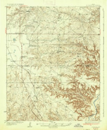
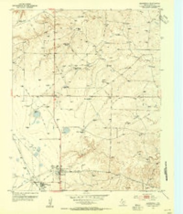
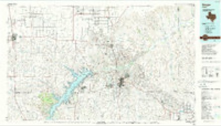
9 topographic sheets cover this place, the earliest surveyed in 1936 and the latest in 1986. It stands in the Dumas census division. The Survey maps it on the Masterson quadrangle.
Research this city
Topographic sheets covering this place
5 surveys from 9 printed sheetsMatched by testing this settlement's coordinate against the published boundary of every sheet in the United States Geological Survey's historical collection. Each opens the scanned sheet at the Survey.
- 1936 USGS Fourways quadrangle1:62500, 2 printings
- 1953 USGS Masterson quadrangle1:24000, 2 printings
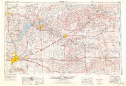
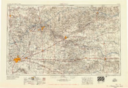
- 1954 USGS Amarillo quadrangle1:250000, 2 printings
- 1958 USGS Amarillo quadrangle1:250000
- 1986 USGS Borger quadrangle1:100000, 2 printings
Fires near this place
37 since 1993Regional context, not property-specific evidence. The federal wildfire occurrence database lists 37 fires within 5 miles of Four Way between 1993 and 2019, burning about 69,020 acres in total. 2 started naturally. None was recorded as arson. Distance is straight-line from the map coordinates, so a fire counted here may appear on a neighbouring settlement's page as well.
| Reported cause | Fires |
|---|---|
| Missing data/not specified/undetermined | 23 |
| Equipment and vehicle use | 5 |
| Power generation/transmission/distribution | 3 |
| Railroad operations and maintenance | 2 |
| Natural | 2 |
| Debris and open burning | 1 |
| Recreation and ceremony | 1 |
The most recent of them, most recent first, with the day each was reported and the service that recorded it.
| Date | Cause | Size | Reported by | Name on the report |
|---|---|---|---|---|
| 5 August 2013 | Missing data/not specified/undetermined | 1.0 acres | Texas A & M Forest Service | DUTCHER546 |
| 29 August 2005 | Missing data/not specified/undetermined | 10 acres | Lake Meredith National Recreation Area | YANTIS |
| 21 August 2019 | Equipment and vehicle use | under an acre | Texas A & M Forest Service | SOUTH MASTERSON 648 |
| 31 July 1993 | Natural | under an acre | Lake Meredith National Recreation Area | HAGY-2 |
| 31 July 1993 | Natural | 60 acres | Lake Meredith National Recreation Area | HAGY-1 |
| 2 July 2011 | Equipment and vehicle use | 5.0 acres | Texas A & M Forest Service | DAVIS567 |
| 6 June 2018 | Missing data/not specified/undetermined | 8.0 acres | Texas A & M Forest Service | MOORE |
| 21 June 2017 | Power generation/transmission/distribution | 30 acres | Texas A & M Forest Service | CIG RD |
Settlements close enough to share some of these fires:
Mines and quarries near this place
1 within 5 milesRegional context, not property-specific evidence. The federal mineral resources record lists 1 working within 5 miles of Four Way: 1 producer. All of them still produce. What was taken out: Helium. Distance is straight-line from the map coordinates, so a quarry counted here may appear on a neighbouring settlement's page as well.
| Where | Site | Commodity | Status | Recorded |
|---|---|---|---|---|
| U S Bureau of Mines Operation | Helium | Producer |
Storms near this place
60 of 63 shownRegional context, not property-specific evidence. The National Weather Service names Four Way in 63 storm reports between 1993 and 2025: 43 hail, 14 thunderstorm wind, 4 tornado, 2 flash flood. No death or injury is recorded in these reports. Each account below is quoted exactly as the forecast office filed it, from the NOAA Storm Events Database, and each date opens the federal record of that event.
| When | Event | Place named | Harm | What the report says |
|---|---|---|---|---|
| July 2025 | Thunderstorm Wind | Four Way | $16,000 | Two semi trucks were blown over at the rest stop on Highway 287 south of Dumas. |
| April 2007 | Tornado (EF2) | Four Way | $8,000 | This tornado developed approximately one to two miles south of Farm to Market Road 1913 about three miles east of Four Way...and likely dissipated near State Highway 152 five miles east of Dumas. Visible damage was limited to five single power poles snapped...fence downed...and large round hay bales were tossed around. No injuries were reported. |
| June 2025 | Thunderstorm Wind | Four Way | - | A trained spotter estimated wind gusts at the leading edge of a line of storms to be around 65mph. |
| May 2024 | Hail | Four Way | - | Hail up to penny size fell to the north of the main hail core of the storm. |
| April 2022 | Hail | Four Way | - | Multiple hail reports came in along FM 1913 west of Lake Meredith of hail between 1 and 1.5. |
| June 2019 | Hail | Four Way | - | Pea to dime size hail was reported near Four Way by trained spotters in the area. |
| May 2019 | Hail | Four Way | - | Late report of crosswinds along U.S. Highway 287 with 60 mph winds, and 2 inch hail. |
| May 2017 | Hail | Four Way | - | Hail still falling at time of the report. Half Dollar size hail reported east of Four Way. |
| September 2016 | Tornado (EF0) | Four Way | - | NWS survey team found 1.2 mile long damage path. Shed destroyed, widespread tree damage and roof damage to a mobile home. |
| September 2016 | Tornado (EF0) | Four Way | - | Rope tornado touched down briefly two times in rapid succession around 0941 PM. The event was witnessed by a trained spotter and deputy and was reported through the assistant Emergency Manager for Moore County. |
| April 2015 | Hail | Four Way | - | Penny to quarter size hail at Highway 354 and Farm to Market Road 2202. |
| April 2015 | Hail | Four Way | - | Hail covered the road 10 to 15 miles southwest of Dumas. |
| July 2014 | Thunderstorm Wind | Four Way | - | A cluster of thunderstorms moved into the Texas Panhandle during the early afternoon hours of the 14th. As storms neared the town of Four Way (Moore County), the KVII Schoolnet site at Middlewell Methodist Church 10 mile west-northwest of Four Way (Moore County) reported a 60 mph downburst. After producing this downburst the cluster of storms continued moving southward across the Panhandle. |
| August 2011 | Thunderstorm Wind | Four Way | - | The Moore County Emergency Managers Office estimated the thunderstorm wind gusts about one mile south of Four Way Texas. There were no reports of damage or injuries. |
| July 2010 | Thunderstorm Wind | Four Way | - | The public reported five inch diameter tree limbs that had been blown down about eleven miles west of Four Way Texas by the thunderstorm wind gusts. |
| July 2009 | Thunderstorm Wind | Four Way | - | An amateur radio operator estimated the thunderstorm wind gusts near Four Way. |
| July 2009 | Thunderstorm Wind | Four Way | - | A trained spotter estimated the thunderstorm wind gusts north of Four Way. |
| June 2009 | Thunderstorm Wind | Four Way | - | A trained spotter located about ten miles south of Dumas estimated thunderstorm wind gusts of fifty-two knots. |
| July 2009 | Thunderstorm Wind | Four Way | - | A trained spotter estimated the thunderstorm wind gusts which blew some leaves off of trees. |
| August 2009 | Thunderstorm Wind | Four Way | - | The general public estimated thunderstorm wind gusts of fifty-six knots east of Channing. |
| June 2004 | Flash Flood | Four Way | - | Water was reported over the road at U.S. Highway 287 and Texas Highway 354. |
| March 1993 | Hail | Four Way | - | A late evening thunderstorm became severe and produced dime-size hail. The hail which fell near Dumas was reported by the Moore County Sheriff's Office, while the hail east of Four Way was reported by the public. |
| May 2023 | Hail | Four Way | - | no account filed |
| June 2023 | Hail | Four Way | - | no account filed |
| May 2019 | Hail | Four Way | - | no account filed |
| May 2019 | Hail | Four Way | - | no account filed |
| May 2019 | Hail | Four Way | - | no account filed |
| May 2017 | Hail | Four Way | - | no account filed |
| May 2017 | Hail | Four Way | - | no account filed |
| May 2017 | Hail | Four Way | - | no account filed |
| May 2017 | Hail | Four Way | - | no account filed |
| May 2017 | Hail | Four Way | - | no account filed |
| June 2017 | Hail | Four Way | - | no account filed |
| August 2016 | Hail | Four Way | - | no account filed |
| March 2012 | Hail | Four Way | - | no account filed |
| June 2010 | Hail | Four Way | - | no account filed |
| August 2009 | Hail | Four Way | - | no account filed |
| May 2008 | Hail | Four Way | - | no account filed |
| May 2008 | Hail | Four Way | - | no account filed |
| May 2008 | Hail | Four Way | - | no account filed |
| August 2008 | Hail | Four Way | - | no account filed |
| August 2008 | Hail | Four Way | - | no account filed |
| April 2007 | Hail | Four Way | - | no account filed |
| June 2007 | Hail | Four Way | - | no account filed |
| May 2005 | Thunderstorm Wind | Four Way | - | no account filed |
| June 2004 | Hail | Four Way | - | no account filed |
| June 2004 | Hail | Four Way | - | no account filed |
| June 2004 | Hail | Four Way | - | no account filed |
| June 2004 | Hail | Four Way | - | no account filed |
| May 2003 | Thunderstorm Wind | Four Way | - | no account filed |
| September 2003 | Hail | Four Way | - | no account filed |
| April 2001 | Thunderstorm Wind | Four Way | - | no account filed |
| April 1999 | Hail | Four Way | - | no account filed |
| June 1997 | Hail | Four Way | - | no account filed |
| June 1997 | Flash Flood | Four Way | - | no account filed |
| May 1997 | Hail | Four Way | - | no account filed |
| May 1997 | Thunderstorm Wind | Four Way | - | no account filed |
| September 1996 | Hail | Four Way | - | no account filed |
| September 1996 | Hail | Four Way | - | no account filed |
| September 1996 | Tornado (F0) | Four Way | - | no account filed |
Nearest settlements
The eight closest, with where each one stands in the county. Distances are straight-line, computed from the Geographic Names Information System coordinates.
| Map | Place | Distance | Sheets |
|---|---|---|---|
| Masterson | 3.8 miles | 9 | |
| Bautista | 3.8 miles | 6 | |
| Exell | 4.2 miles | 9 | |
| Stallwitz Lake | 8.7 miles | 6 | |
| Middlewell | 9.9 miles | 6 | |
| Dumas | 12.1 miles | 6 | |
| Machovec | 17.5 miles | 6 | |
| Sheerin | 19.8 miles | 6 |
Provenance
This settlement is recorded in the Geographic Names Information System as feature 1357654. The sheet list is computed by point-in-boundary test against the United States Geological Survey's historical topographic inventory. Both are works of the United States government and carry no copyright under 17 U.S.C. 105.
Wildfire. Short, Karen C. 2022. Spatial wildfire occurrence data for the United States, 1992-2020 [FPA_FOD_20221014]. 6th Edition. Fort Collins, CO: Forest Service Research Data Archive. https://doi.org/10.2737/RDS-2013-0009.6 Collected with United States Government funding and usable without additional permissions or fees.
Mines and quarries. USGS Mineral Resources Data System (MRDS) https://mrdata.usgs.gov/mrds/ A work of the United States government, no copyright under 17 U.S.C. 105.
Storms. NOAA National Centers for Environmental Information, Storm Events Database https://www.ncei.noaa.gov/stormevents/ A work of the United States government, no copyright under 17 U.S.C. 105. Narratives are quoted verbatim from the National Weather Service report and are not edited or summarised.