 Block
BlockFrom the record
1 National Register listing published here.
Sources: the National Register database, National Park Service
28 topographic sheets cover 9 settlements here, and 1 property is on the National Register of Historic Places.
1 National Register listing published here.
Sources: the National Register database, National Park Service
Every property in this county listed on the National Register of Historic Places, with the year it was listed and the federal nomination document.
| Photograph | Property | Type | Listed | Reference |
|---|---|---|---|---|
 | Traweek House | building | 1991 | 91000486 |
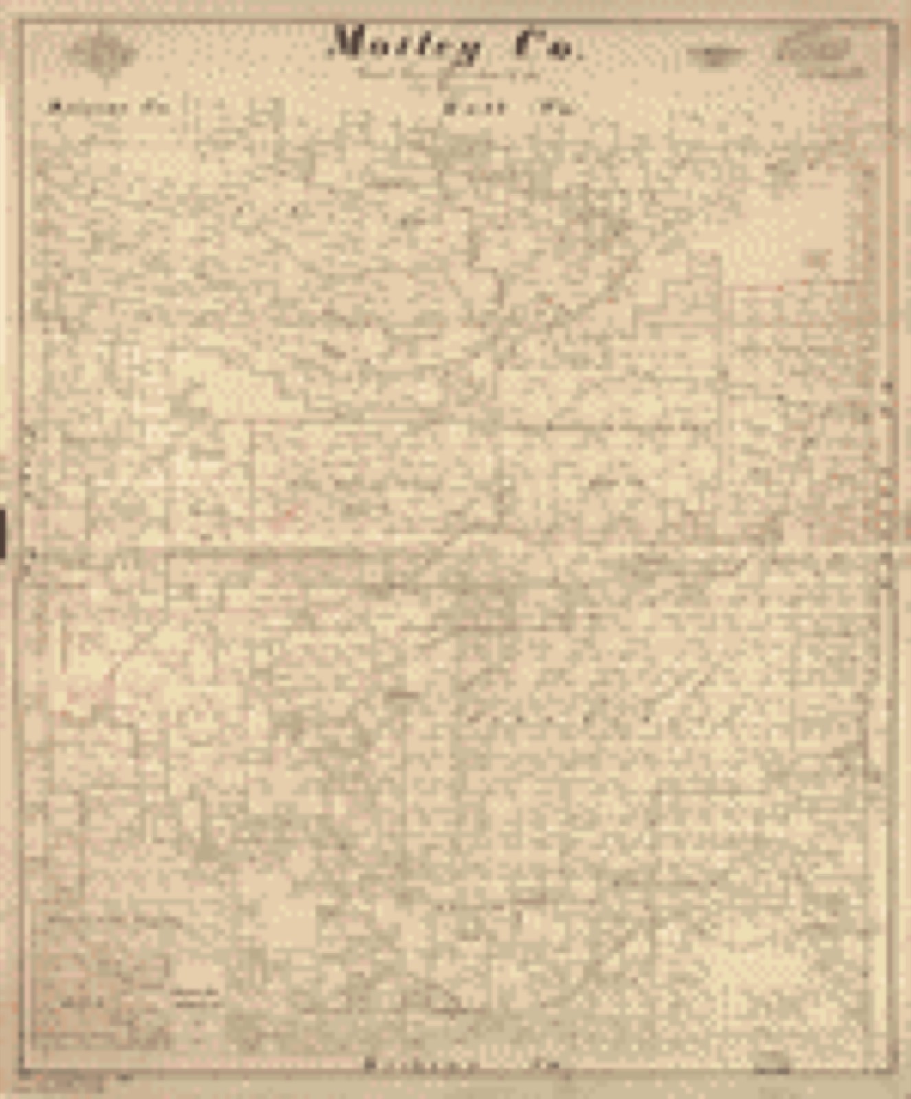
Drawn when these were printed as single large sheets: the town seen from the air, and the county divided into its farms with every owner named. Each opens the original at the Library of Congress.
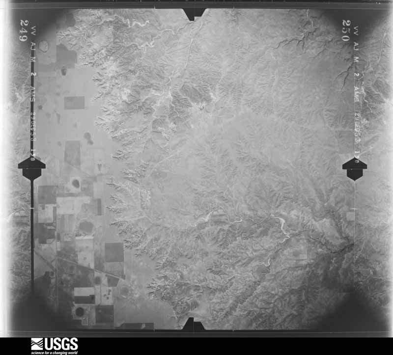
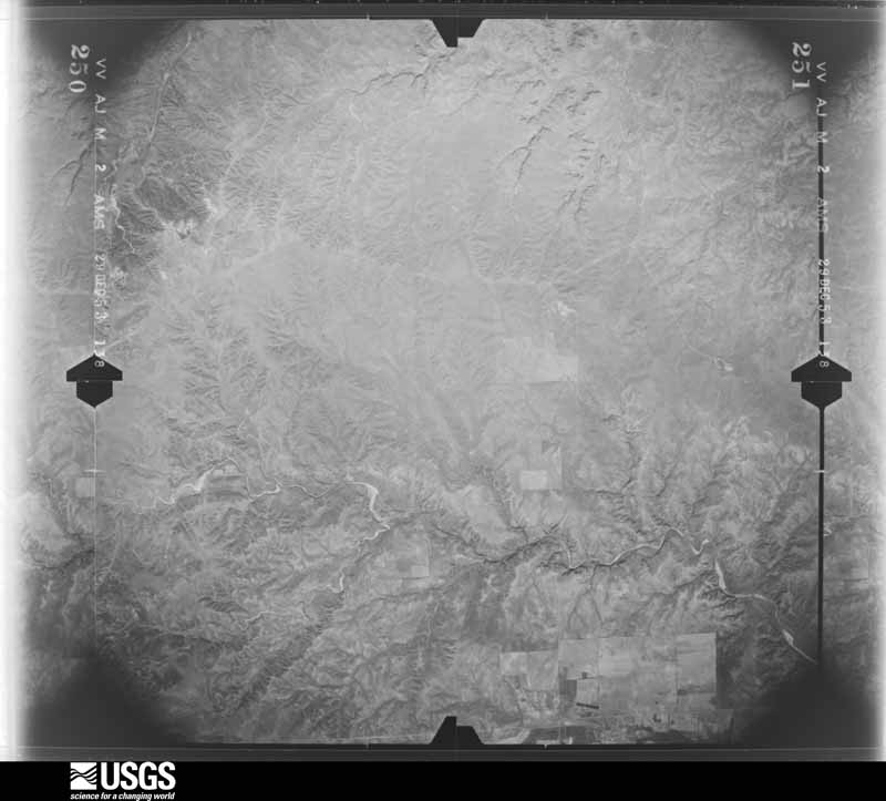
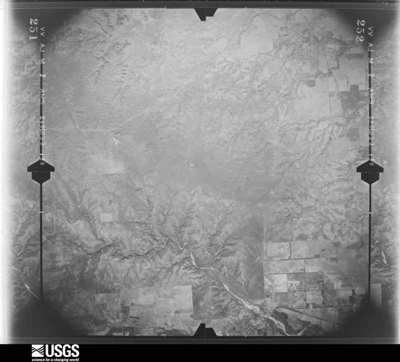
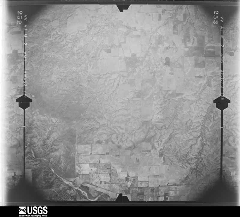
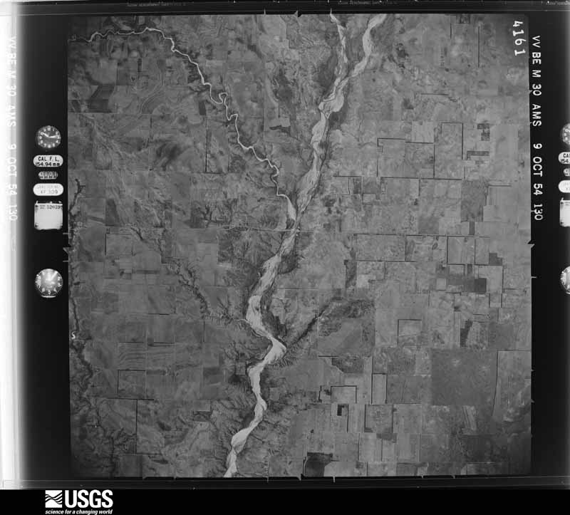
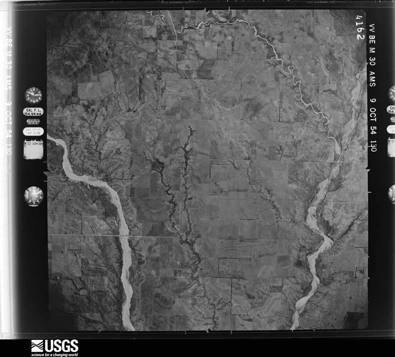
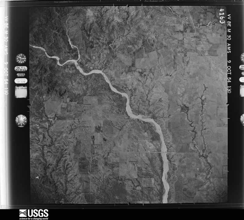
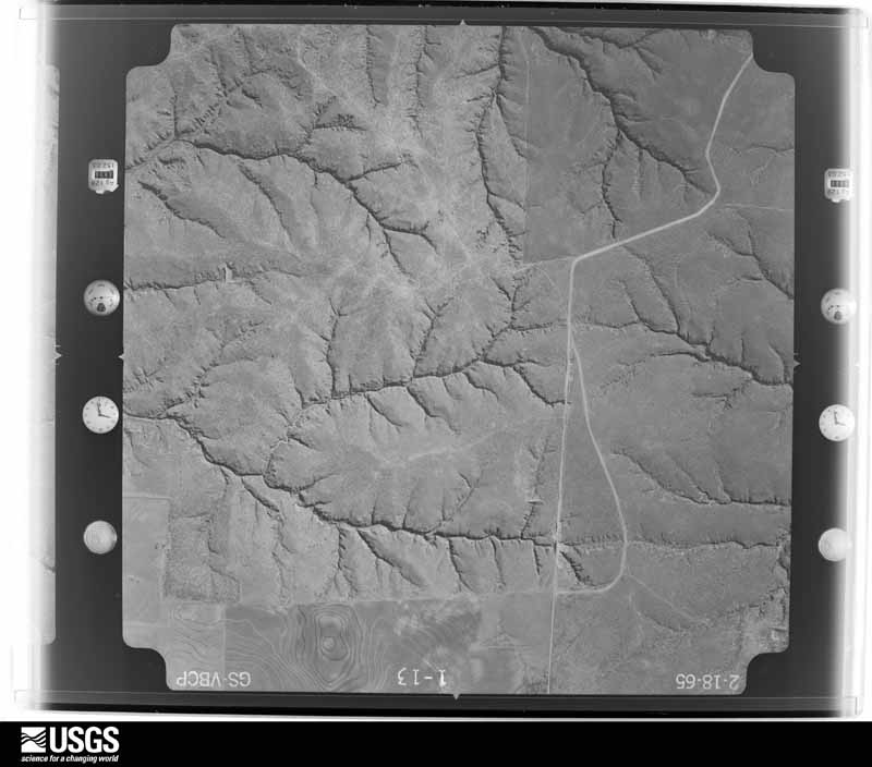
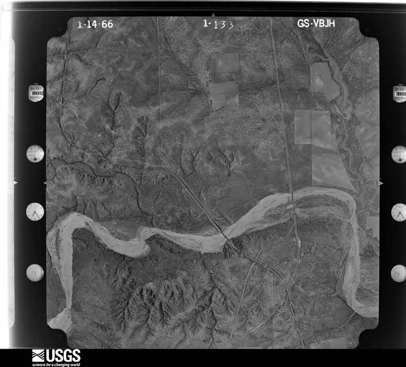
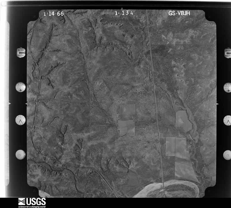
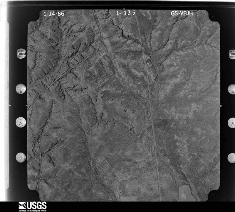
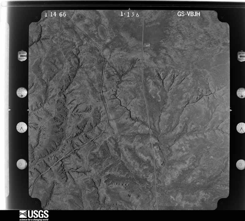
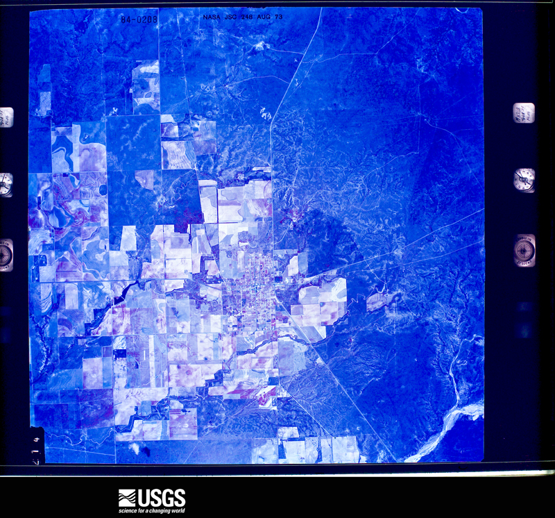
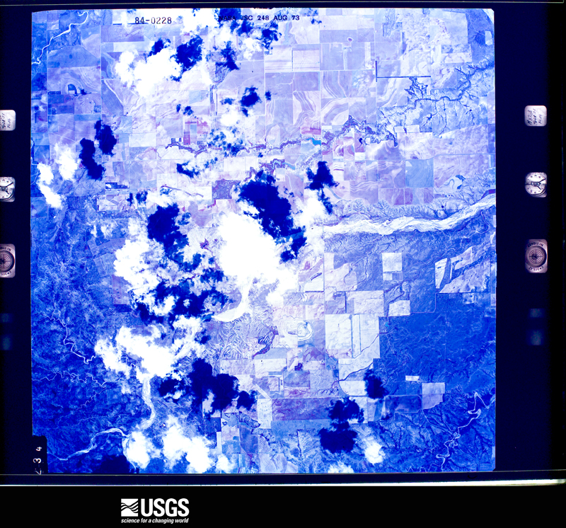
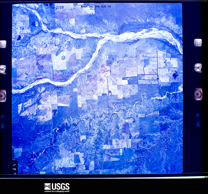
Flown by the U.S. Geological Survey between 1937 and 1989, the Aerial Photo Single Frames collection is the definitive mid-century view of the land: fields, roads and rivers as the camera saw them. The Survey holds 1,103 frames inside the rectangle that bounds this county; the 24 frames below were taken over the county itself, chosen across the decades of flights (at most four a year from that rectangle), so one flight cannot crowd out the rest. The full set is free to browse and download at EarthExplorer under the dataset Aerial Photo Single Frames.
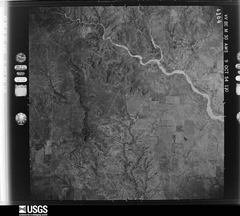
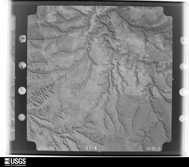
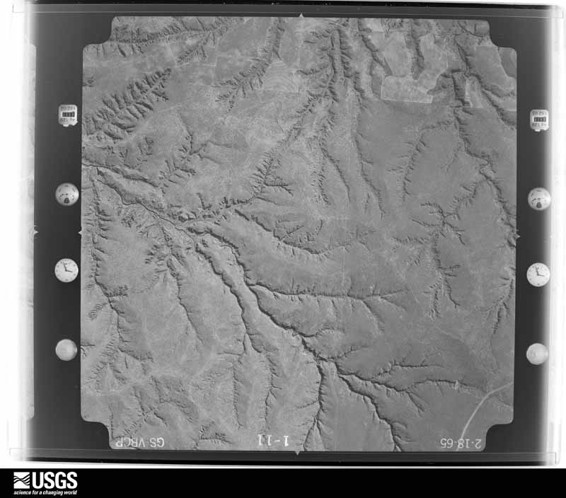
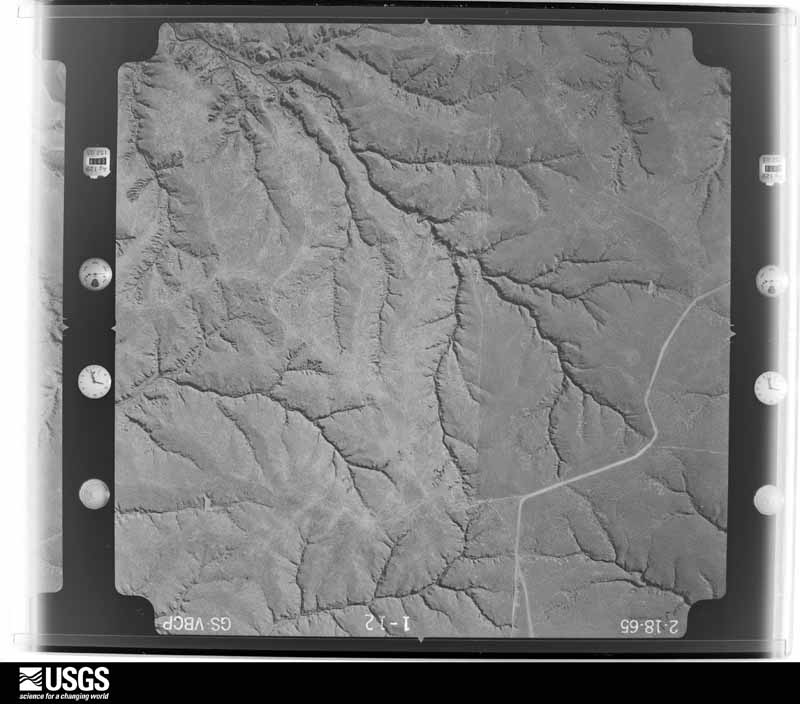

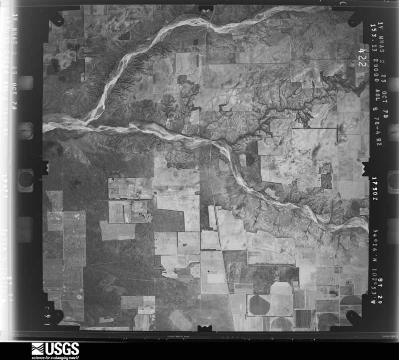
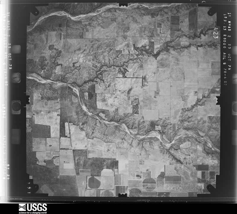
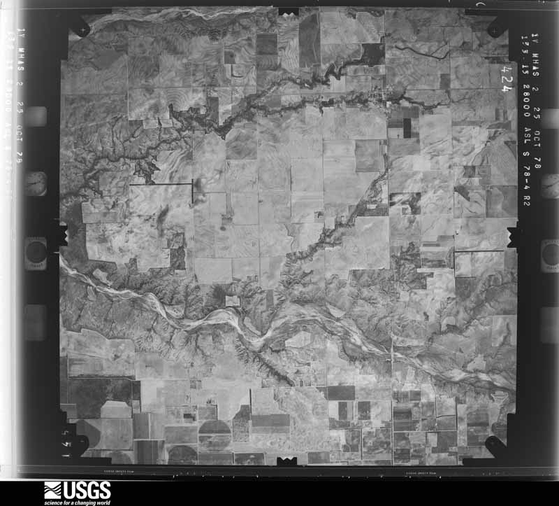
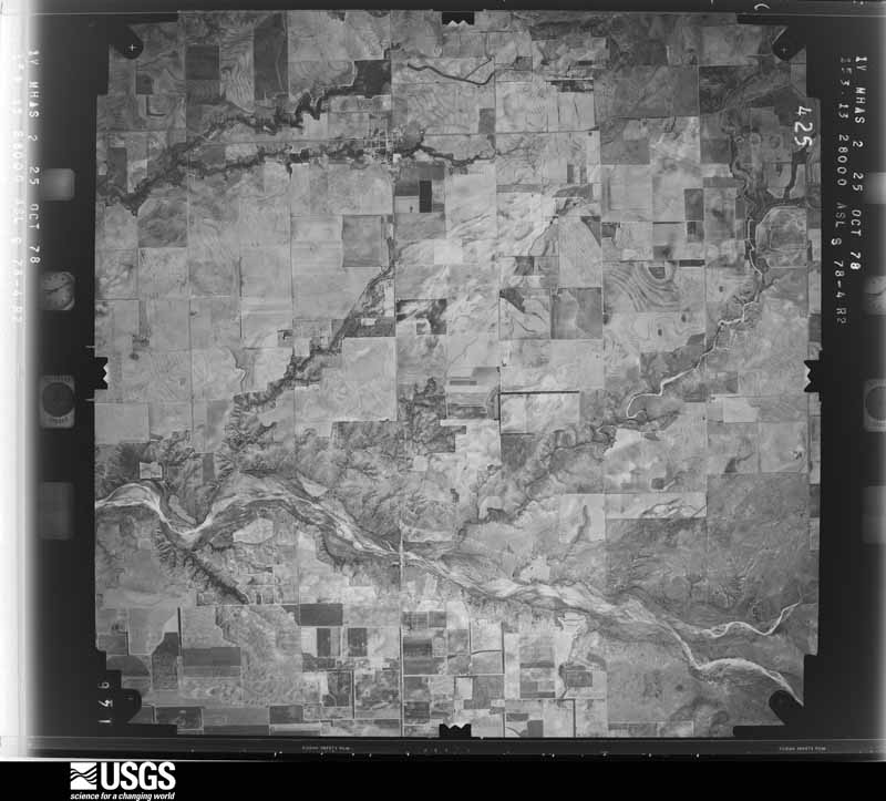
The thermometers that kept this county's weather, as the federal records hold them. The extremes below are measured values from those records, not estimates.
Who lived here in 1950, one enumeration district at a time, as the Census Bureau described each district. Each row opens its official National Archives result, with Population Schedules and ED Maps available there.
Every wildfire the federal occurrence database records inside this county: 227 of them, burning about 78,105 acres. 106 started naturally and 7 were recorded as arson. Each settlement page carries the fires within five miles of it.
| Reported cause | Fires |
|---|---|
| Natural | 106 |
| Missing data/not specified/undetermined | 48 |
| Equipment and vehicle use | 30 |
| Debris and open burning | 17 |
| Power generation/transmission/distribution | 11 |
| Arson/incendiarism | 7 |
| Smoking | 5 |
| Recreation and ceremony | 3 |
The five largest, by the area the report gives. None of them was recorded as arson.
| Date | Cause | Size | Reported by | Name on the report |
|---|---|---|---|---|
| 27 February 2011 | Missing data/not specified/undetermined | 41,000 acres | Texas A & M Forest Service | MATADOR WEST COMPLEX FIRE |
| 25 January 2018 | Missing data/not specified/undetermined | 5,942 acres | Texas A & M Forest Service | 62 |
| 13 July 2016 | Natural | 2,797 acres | Texas A & M Forest Service | BIG LIGHT |
| 15 April 2008 | Equipment and vehicle use | 2,600 acres | Texas A & M Forest Service | TOUNGE RIVER |
| 19 November 2007 | Smoking | 2,300 acres | Texas A & M Forest Service | WILD HOG |
| 2 November 2016 | Natural | 2,000 acres | Texas A & M Forest Service | JOE IKE CLAY & BILLY JOHNSON |
| 10 July 2006 | Natural | 1,650 acres | Texas A & M Forest Service | not named |
| 10 July 2006 | Natural | 1,450 acres | Texas A & M Forest Service | NORTHFIELD FIRE |
Every settlement page carries the fires within five miles of it - see the settlement index below.
The NOAA Storm Events Database holds 314 reports for this county, causing 4 deaths, 16 injuries and about $3,485,930 in recorded property damage. Each settlement page carries the reports that name it.
| Kind of event | Reports |
|---|---|
| Hail | 183 |
| Thunderstorm Wind | 94 |
| Tornado | 28 |
| Flash Flood | 4 |
| Flood | 2 |
| Heavy Rain | 2 |
| Lightning | 1 |
The most serious of them, by death, then injury, then recorded damage. The accounts are quoted exactly as the forecast office filed them.
| When | Event | Place named | Harm | What the report says |
|---|---|---|---|---|
| June 2023 | Tornado (EF3) | Whiteflat | 4 killed, 15 hurt | The second of several tornadoes touched down north of Matador in an open field east of State Highway 70. The tornado then tracked to the south through open country until it reached just north of Farm to Market Road 94 where it damaged a few power poles. It then traveled to the south-southeast where it destroyed a house on the far north side of the city. Three vehicles at this residence were rolled at least a few hundred yards away from the house with two of the vehicles unable to be located. The tornado continued to track south along State Highway 70 where it damaged two additional houses and rolled another truck several hundred feet. The tornado then tracked back to the southwest and crossed State Highway 70 and damaged several houses northwest of the intersection of State Highway 70 and US Highway 62, as well as rolling several vehicles including a tractor-trailer. The tornado then crossed US Highway 62 between the Texas Department of Transportation facility and State Highway 70 where it rolled an RV, destroyed a house, and steel framed retail store, and partially collapsed a power substation. The tornado continued traveling to the southeast paralleling State Highway 70 and damaged several more single family residences with another house being destroyed. The tornado then crossed State Highway 70 just south of Cross Lane where it destroyed a 500 foot radio tower as well as some light poles. The tornado then dissipated over an open field southeast of the Matador rest stop. |
| May 1984 | Tornado (F3) | not stated | 1 hurt, $2,500,000 | no account filed |
| June 2002 | Hail | Matador | $250,000 | Spotters affiliated with the Matador FD reported hail larger than golfball size. Homes and automobiles were damaged and thousands of acres of crops were destroyed. |
| April 2015 | Hail | Flomot | $150,000 | Storm spotters and fire department officials from Matador reported a swath of large hail up to golf ball size accompanied by destructive downburst winds. The wind-driven hail damaged dozens of vehicles, broke some north-facing windows to homes and businesses in and near Matador, and caused varying degrees of damage to rooftops. |
| April 2010 | Tornado (EF2) | Northfield | $100,000 | Multiple storm chasers observed a large and rain-wrapped tornado that moved east-northeastward across the Motley and Cottle County line south-southeast of Northfield and southwest of Cee Vee during the 18:00 CST hour on the 22nd. ||Doppler radar, along with post-storm ground and aerial surveys, suggest that the tornado developed at approximately 18:20 CST 9 miles south-southwest of Northfield, just east of Farm to Market Road 94. Storm chasers first obtained a visual confirmation of the tornado at 18:37 CST as it partially emerged from obscuring rain curtains. Photographs show a very large wedge-shaped tornado, with only the southern portion of the vortex visible through the wrapping precipitation. ||The tornado's track across northeastern Motley County remained over uninhabited ranch land. A National Weather Service cooperative observer, however, reported a loud roar as the tornado passed south of her home south of Northfield. Surveys of adjacent ranch land, conducted by private land owners as well as National Weather Service and Texas Tech University West Texas Mesonet meteorologists, revealed that the tornado destroyed four windmills, severely damaged mesquite trees, and snapped at least a half dozen wooden utility poles. The damage path was measured to be three-quarters of a mile wide. ||The tornado again became totally obscured by rain and hail within the parent high precipitation supercell storm before it crossed the Motley and Cottle County line approximately 8.25 miles south-southeast of Northfield at 18:42 CST. It likely dissipated just a few minutes later at approximately 18:45 CST southwest of Cee Vee in northwestern Motley County.||The total path length of the tornado across portions of Motley and Cottle Counties was approximately 9 miles, with a 25-minute duration. Enhanced-Fujita Scale damage indicators for both free-standing metal towers and metal electrical transmission line poles were considered to gauge expected wind speeds for the destroyed windmills. The lower bounds for degrees of damage 2 and 5 respectively were accepted, yielding estimated wind speeds between 110 and 115 mph. Winds of at least this magnitude are additionally supported by the expected value for snapped wooden utility poles, which were additionally observed along the damage path. Therefore an EF-2 rating was assigned for this tornado. |
| May 2019 | Thunderstorm Wind | Roaring Spgs | $50,000 | A Texas Tech University West Texas mesonet site near Roaring Springs measured wind gusts up to 65 mph for five minutes. Additionally, an NSSL mobile mesonet also recorded 65 mph wind gusts around the same location and nine miles east of Matador. The emergency manager in Motley County reported that several trees and power lines were blown down in Roaring Springs. |
| May 2002 | Hail | Roaring Spgs | $50,000 | Storm spotters affiliated with the Matador FD reported golfball size hail. |
| April 2010 | Flood | Whiteflat | $25,000 | Flooding from heavy rainfall resulted in high water over a number of roadways near Whiteflat, including Texas Highway 70. |
| June 2009 | Hail | Matador | $25,000 | Local fire department officials reported two inch diameter hail in Matador at 16:35 CST. Minor damages to vehicles and roofs occurred. |
| June 2009 | Hail | Matador | $25,000 | An off-duty National Weather Service employee reported giant two and a half inch diameter hail in Matador. Minor damages to vehicles and roofs occurred. |
| April 2003 | Hail | Northfield | $25,000 | Golfball size hail was reported by the public. |
| April 2003 | Hail | Matador | $25,000 | Storm spotters affiliated with the Matador Fire Department reported golfball size hail. |
| April 2000 | Hail | Roaring Spgs | $25,000 | no account filed |
| March 1973 | Tornado (F2) | not stated | $25,000 | no account filed |
| April 2015 | Thunderstorm Wind | Matador | $20,000 | Downburst winds in the rear flank downdraft of a supercell caused scattered wind damage in Matador and also overturned a semi-truck on US Highway 62 east of Matador. The driver was not injured. Wind damage in and around Matador consisted of a portion of a roof removed from a house, several large trees downed and some fallen power lines. |
| June 2013 | Thunderstorm Wind | Flomot | $20,000 | Law enforcement reported numerous trees and one power line down in the Flomot area. Also, an estimated 25 center pivot irrigation systems were overturned and damaged nearby. |
| June 2014 | Hail | Matador | $15,000 | By early this evening, the same slow-moving supercell that produced very large hail in portions of Floyd County drifted into Motley County. Several reports were received of hail up to golf ball size from about four miles west of Matador extending into the city. Damage was mostly relegated to vehicle dents in Matador. |
| June 2013 | Hail | Matador | $15,000 | A local fire department official observed quarter size hail north of Matador. Additionally, damage to trees and roofs were reported on the north side of Matador. |
| July 2008 | Thunderstorm Wind | Matador | $15,000 | Severe thunderstorm winds blew down several utility poles along U.S. Highway 62/70 east of Matador. Power outages resulted with an unknown number of rural customers affected. |
| April 2003 | Hail | Roaring Spgs | $15,000 | Storm spotters reported golfball size hail. |
| April 1999 | Thunderstorm Wind | Northfield | $15,000 | Strong wind blew windows out of a truck and farm equipment, blew down trees, destroyed an antenna, blew the roof off a storage shed, damaged the roof of a cottage, and damaged a box car. NWS storm survey estimated winds to have been about 80 mph. |
| July 2016 | Thunderstorm Wind | Flomot | $12,000 | A NWS cooperative weather observer reported several telephone poles downed by winds. |
| August 2010 | Thunderstorm Wind | Matador | $10,000 | The Matador Fire Department reported that thunderstorm winds downed several utility lines along Texas Highway 70 north of Matador. |
| August 2006 | Thunderstorm Wind | Roaring Spgs | $10,000 | A linear complex of thunderstorms exhibited bow-echo radar characteristics as it impacted southern Motley County during the late afternoon hours of the 26th. The public reported that severe thunderstorm winds downed large tree limbs and numerous electrical lines as the storms impacted Roaring Springs. No significant structural damage was reported. |
| April 2003 | Thunderstorm Wind | Flomot | $10,000 | A 30' by 40' shed was destroyed by strong thunderstorm winds. |
| May 1998 | Thunderstorm Wind | Matador | $10,000 | no account filed |
| May 1998 | Thunderstorm Wind | Flomot | $10,000 | no account filed |
| June 1997 | Thunderstorm Wind | Matador | $10,000 | no account filed |
| April 2003 | Thunderstorm Wind | Matador | $5,000 | Strong thunderstorm wind blew down trees and power lines in town. A storm spotter affiliated with the VFD estimated winds to be around 60 mph. |
| April 2003 | Thunderstorm Wind | Roaring Spgs | $5,000 | The West Texas Mesonet station near Roaring Springs measured thunderstorm wind gusts of 79 mph. Trees and power lines were blown down by the strong wind. |
| July 1996 | Thunderstorm Wind | Roaring Spgs | $5,000 | no account filed |
| May 1960 | Tornado (F3) | not stated | $2,500 | no account filed |
| April 1957 | Tornado | not stated | $2,500 | no account filed |
| June 2019 | Thunderstorm Wind | Northfield | $1,000 | A Texas Tech University West Texas mesonet site near Northfield measured a wind gust to 82 mph. Additionally, an NWS cooperative weather observer near Northfield reported several trees blown down. |
| August 2014 | Thunderstorm Wind | Matador | $1,000 | The COOP observer in Matador reported a damaged Fischer Porter precipitation gauge. The damage was caused from a blow by a pig shelter that became airborne in severe winds. |
| May 2000 | Lightning | Matador | $1,000 | Lightning struck a home and damaged some electronic equipment. |
| May 2016 | Hail | Northfield | $400 | A storm chaser observed wind-driven hail as large as tennis balls. The hail fell immediately west of what would become a significant tornado just a few minutes later. Minor hail damage occurred to the storm chaser's vehicle. |
| May 1965 | Tornado (F0) | not stated | $250 | no account filed |
| August 2013 | Thunderstorm Wind | Northfield | $200 | A NWS Cooperative Observer reported tree limbs broken, shingles blown off a roof and a stock trailer blown 200 feet by severe winds. Although a Texas Tech University West Texas Mesonet station located one mile south of Northfield only measured a peak gust of 57 mph at 4:05 pm CST, the winds associated with the damage in Northfield were likely higher. |
| May 1993 | Hail | Matador | $50 | Off-duty National Weather Service personnel reported nickel-size hail in Matador. No significant damage resulted. |
| May 1982 | Tornado (F0) | not stated | $30 | no account filed |
| May 2025 | Hail | Matador | - | Numerous storm chasers reported a swath of extremely large hail west of Matador along US Highway 62/70. Hail ranged in size from quarter size to three inches in diameter. No damage was included with the reports. |
| May 2025 | Hail | Roaring Spgs | - | Numerous storm chasers reported a swath of extremely large hail along Farm to Market Road 684 west of Roaring Springs. Hail ranged in size from two inches in diameter to baseball size. No damage was included with the reports. |
| May 2025 | Hail | Roaring Spgs | - | Several storm chasers and an NWS cooperative weather observer reported a swath of hail in the immediate vicinity of Roaring Springs. Hail ranged in size from quarters to golf ball size. |
| May 2025 | Hail | Matador | - | An NWS cooperative weather observer reported ping pong ball size hail on the northeast side of Matador. |
| May 2025 | Flash Flood | Roaring Spgs | - | Two supercell thunderstorms merged south of Roaring Springs near Texas State Highway 70. The combined supercell remained nearly stationary over this area for approximately 30 minutes consistently dropping very heavy rainfall before moving eastward. After the initial supercell thunderstorm moved east, additional thunderstorm development upstream moved over the same area bringing further heavy rainfall. The heavy rain mostly affected the Roaring Springs Ranch Club. Water was reported over the roadway along Texas State Highway 70 at the South Pease River (Tongue River) intersection. There was an unknown amount of damage reported within the ranch club as well as water over the highway. |
| May 2025 | Hail | Whiteflat | - | A swath of hail was observed by numerous storm chasers along Ranch Road 2999 east of Texas State Highway 70 northwest of Matador. Hail ranged in size from quarters to ping pong ball size. |
| April 2025 | Thunderstorm Wind | Roaring Spgs | - | A Texas Tech University West Texas mesonet site near Roaring Springs measured severe wind gusts from 1633 CST through 1635 CST. A peak wind gust of 64 mph was measured between 1633 and 1634 CST. |
| April 2025 | Tornado (EFU) | Whiteflat | - | Multiple storm chasers published photograph and video evidence of a large tornado that crossed over open ranch land from Floyd County into Motley County. No damage was reported or found with this tornado. However, trees and shrubs were lofted and power flashes observed on chaser video. |
| April 2025 | Tornado (EFU) | Roaring Spgs | - | Law enforcement in Motley County observed a brief tornado over open fields west of Roaring Springs. No damage was reported. |
| April 2025 | Hail | Matador | - | A report from the public was received of hail measuring five inches in diameter. This hail was from the same swath in Floyd County which produced hail up to 5.20 inches in diameter. No damage was reported. |
| April 2025 | Flash Flood | Whiteflat | - | A slow moving supercell thunderstorm trained over areas of Motley County producing very heavy rainfall and flash flooding. An NWS cooperative weather observer reported flash flooding within the city of Roaring Springs as well as flooding over Texas State Highway 70 between Matador and Roaring Springs. |
| June 2025 | Thunderstorm Wind | Matador | - | A Texas Tech University West Texas mesonet site near Matador measured a wind gust of 60 mph. |
| June 2025 | Thunderstorm Wind | Northfield | - | A Texas Tech University West Texas mesonet site near Northfield measured a wind gust of 59 mph. |
| June 2025 | Thunderstorm Wind | Northfield | - | A Texas Tech University West Texas mesonet site near Northfield measured severe wind gusts from 1851 CST through 1853 CST. A peak wind gust of 65 mph was measured at 1852 CST. |
| June 2025 | Thunderstorm Wind | Northfield | - | A Texas Tech University West Texas mesonet site near Northfield measured severe wind gusts from 1851 CST through 1853 CST. A peak wind gust of 65 mph was measured at 1852 CST. Additionally, a storm chaser that sever power poles were bent over the roadway northeast of Northfield. |
| June 2025 | Thunderstorm Wind | Flomot | - | A Texas Tech University West Texas mesonet site near Flomot measured severe wind gusts from 0003 CST through 0006 CST. A peak wind gust of 64 mph was measured at 0005 CST. |
| August 2024 | Thunderstorm Wind | Flomot | - | A Texas Tech University West Texas mesonet site near Flomot measured severe wind gusts from 1743 CST through 1750 CST. A peak wind gust of 90 mph was measured at 1744 CST. |
| May 2024 | Hail | Whiteflat | - | A storm chaser reported ping pong ball size hail along Texas State Highway 70 north of Matador. |
| May 2024 | Thunderstorm Wind | Flomot | - | An NWS cooperative weather observer estimated wind gusts of 80 mph lasting for approximately 20 minutes. No damage was reported. |
The Survey's mineral resources record lists 4 workings inside this county. 2 still produce and 2 are closed or unrecorded. Each settlement page carries the workings within five miles of it.
| Commodity | Workings |
|---|---|
| Sand and Gravel, Construction | 4 |
The least common of them first, because a county's hundredth gravel pit says nothing its first ten did not.
| Where | Site | Commodity | Status | Recorded |
|---|---|---|---|---|
| Campbell Pit | Sand and Gravel, Construction | Past Producer | ||
| High Plains Pit & Plant | Sand and Gravel, Construction | Producer | ||
| Quitague Sand and Gravel | Sand and Gravel, Construction | Past Producer | ||
| Thrasher Sand and Gravel Pit | Sand and Gravel, Construction | Producer |
Named settlements recorded in the Geographic Names Information System, each with the topographic sheets covering it. Villages, hamlets and abandoned places alike. Each is shown with the nearest named watercourse or landform and the survey quadrangle it falls on.
Matador census division · 79244 · Near Hackberry Draw · Matador quadrangle
8 sheets, 1954 to 1986
Matador census division · 79256 · Near Shinnery Draw · Roaring Springs quadrangle
8 sheets, 1954 to 1985