 Block
BlockFrom the record
5 National Register listings published here.
Sources: the National Register database, National Park Service
91 topographic sheets cover 49 settlements here, and 5 properties are on the National Register of Historic Places.
5 National Register listings published here.
Sources: the National Register database, National Park Service
Every property in this county listed on the National Register of Historic Places, with the year it was listed and the federal nomination document.
| Photograph | Property | Type | Listed | Reference |
|---|---|---|---|---|
| Byron Farmstead | district | 2007 | 07000217 | |
 | Chandor Gardens | district | 2014 | 14000498 |
 | Parker County Courthouse | building | 1971 | 71000957 |
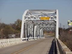 | State Highway 89 Bridge at the Brazos River | structure | 1996 | 96001115 |
 | Weatherford Downtown Historic District | district | 1990 | 90001745 |
Drawn when these were printed as single large sheets: the town seen from the air, and the county divided into its farms with every owner named. Each opens the original at the Library of Congress.


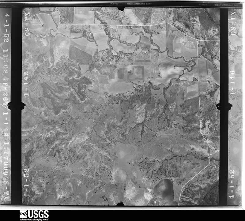
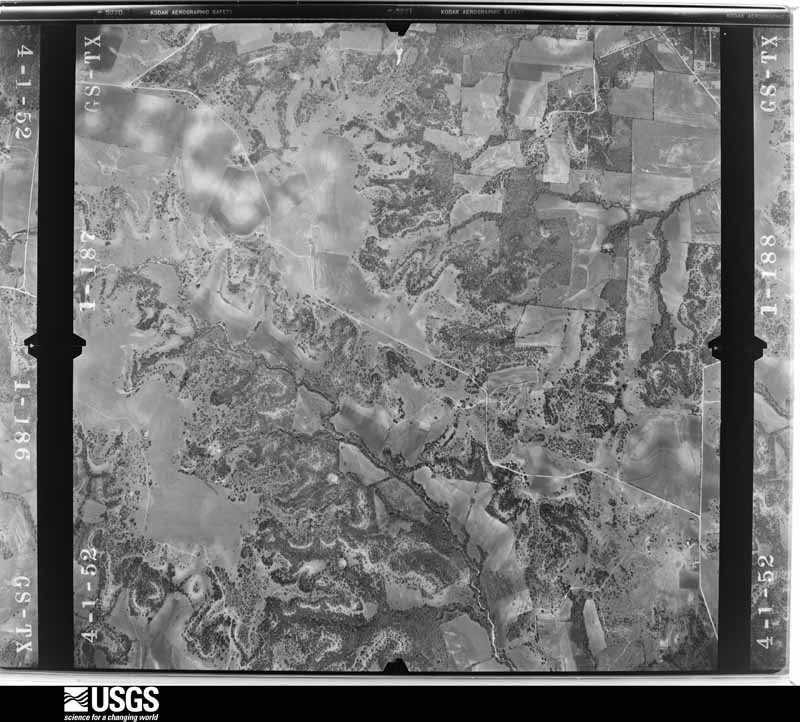
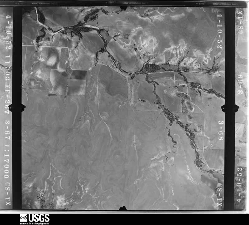
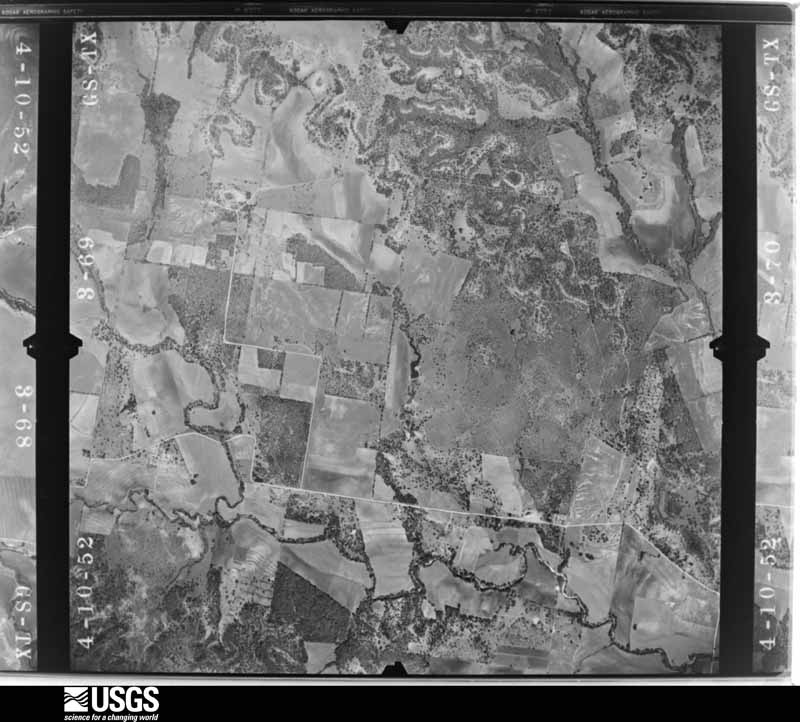
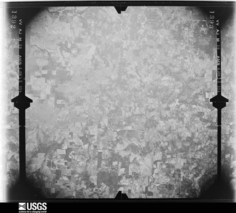
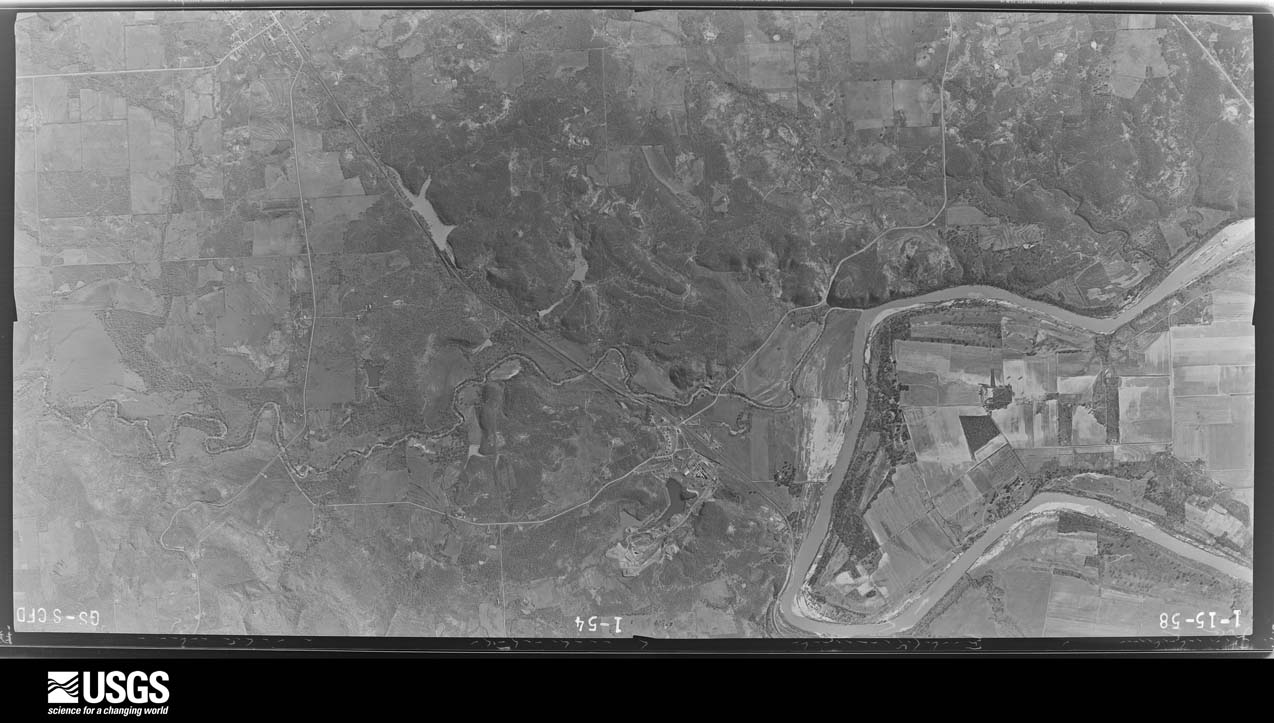
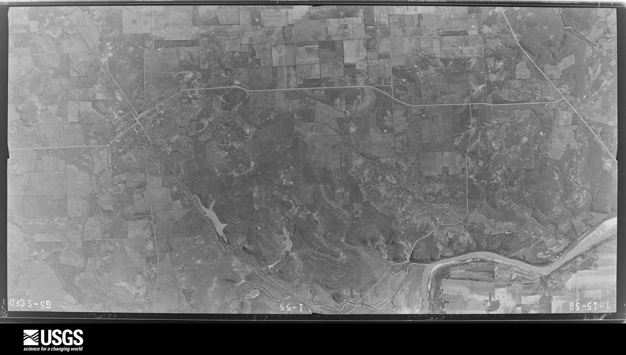
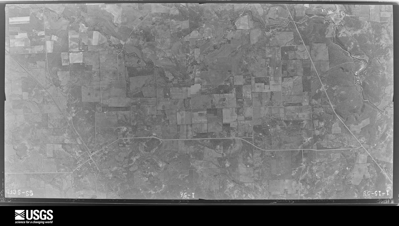
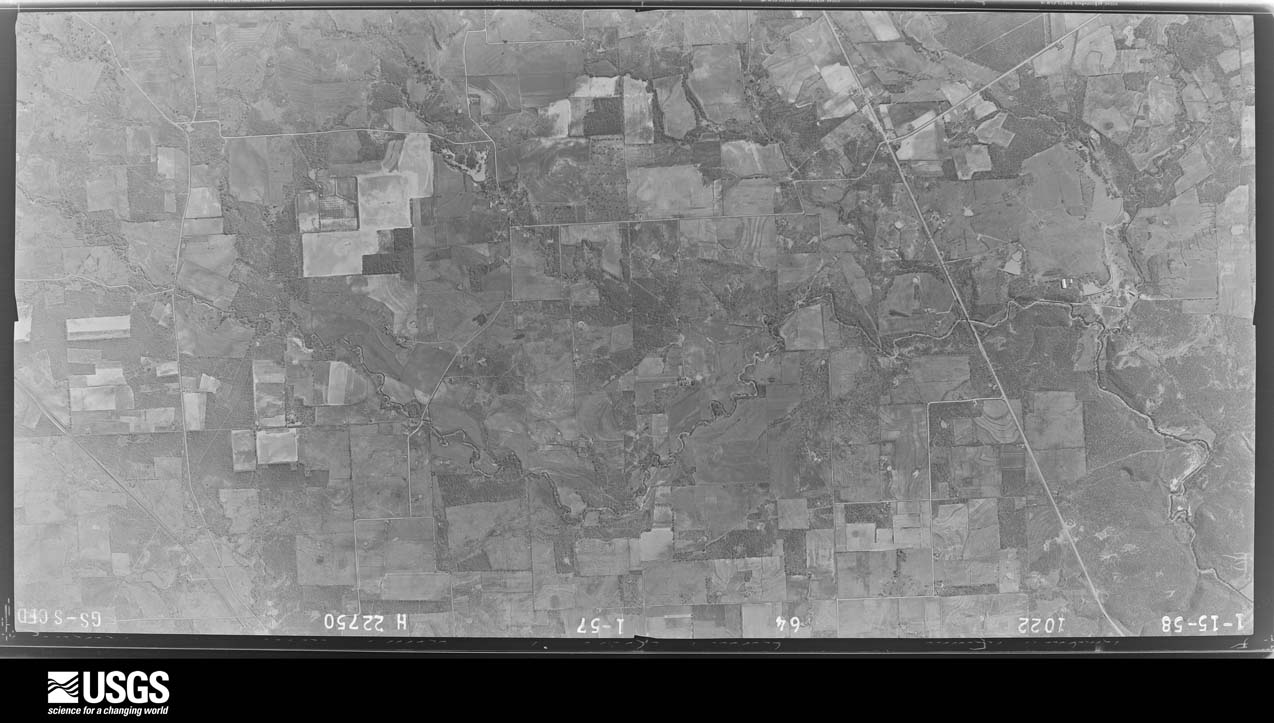
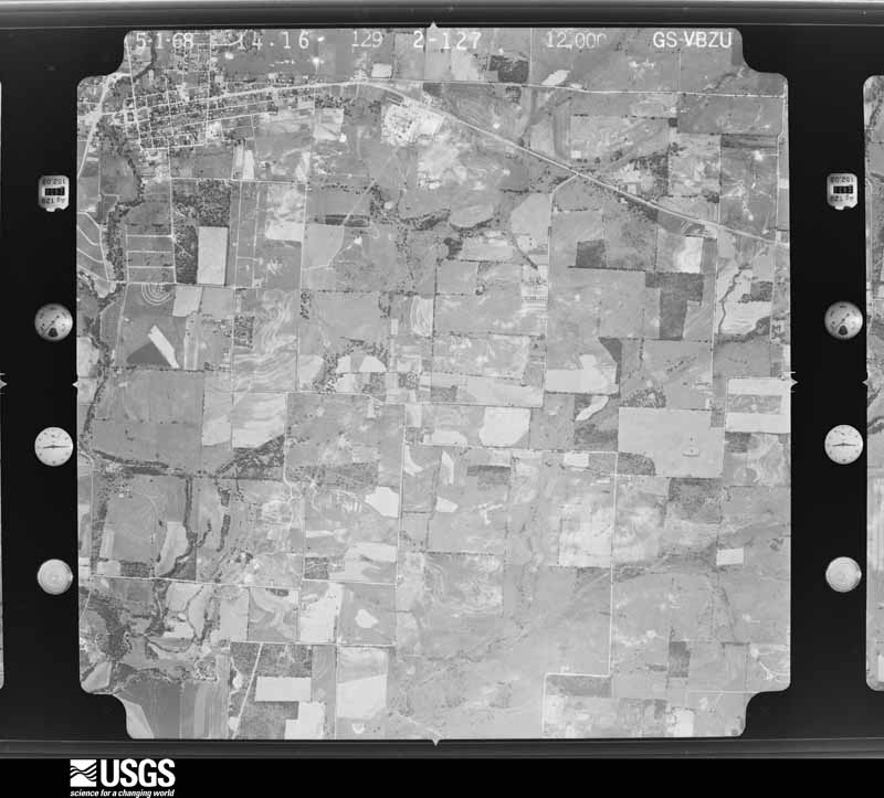
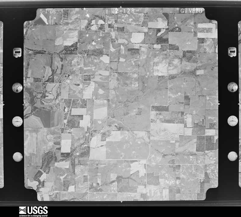
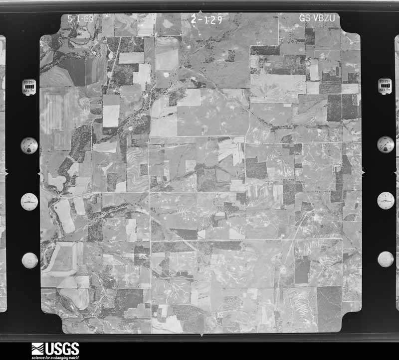
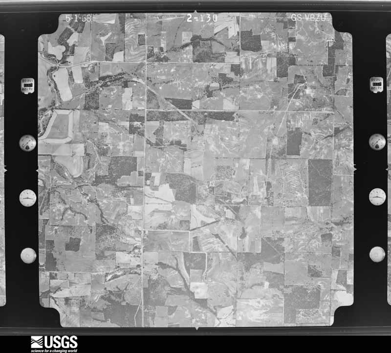
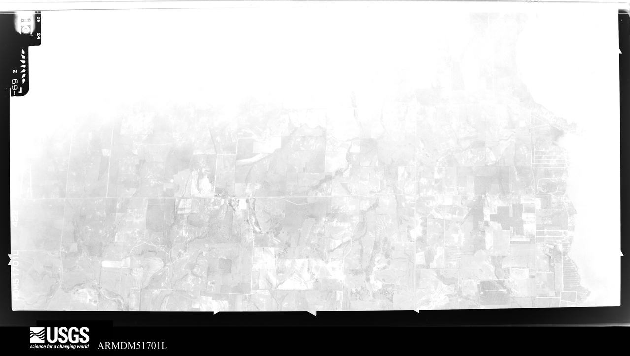
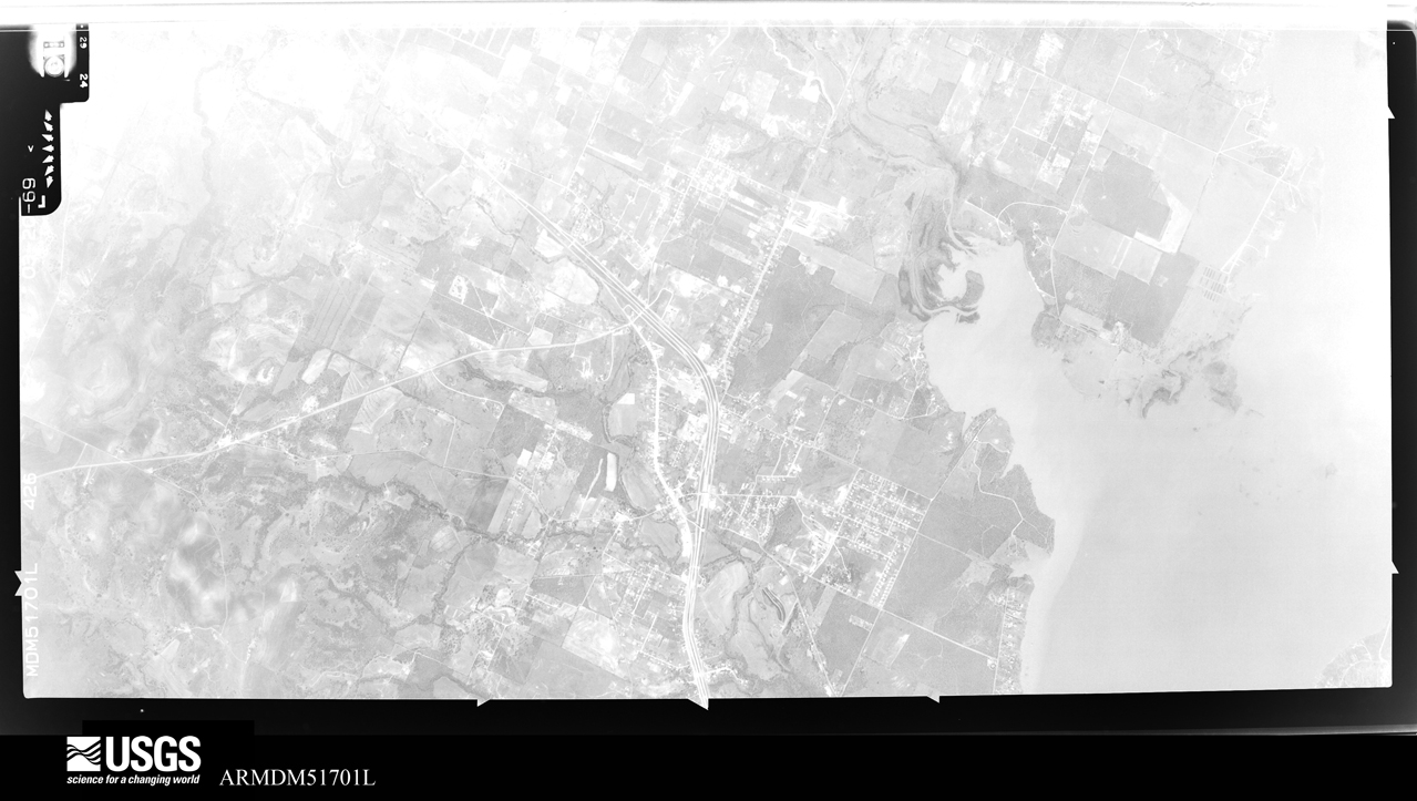
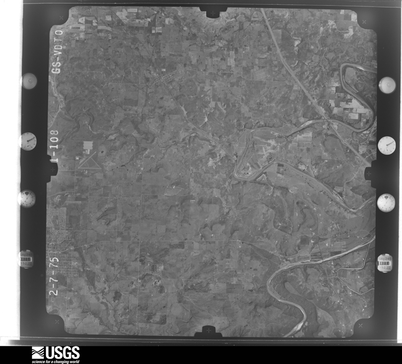
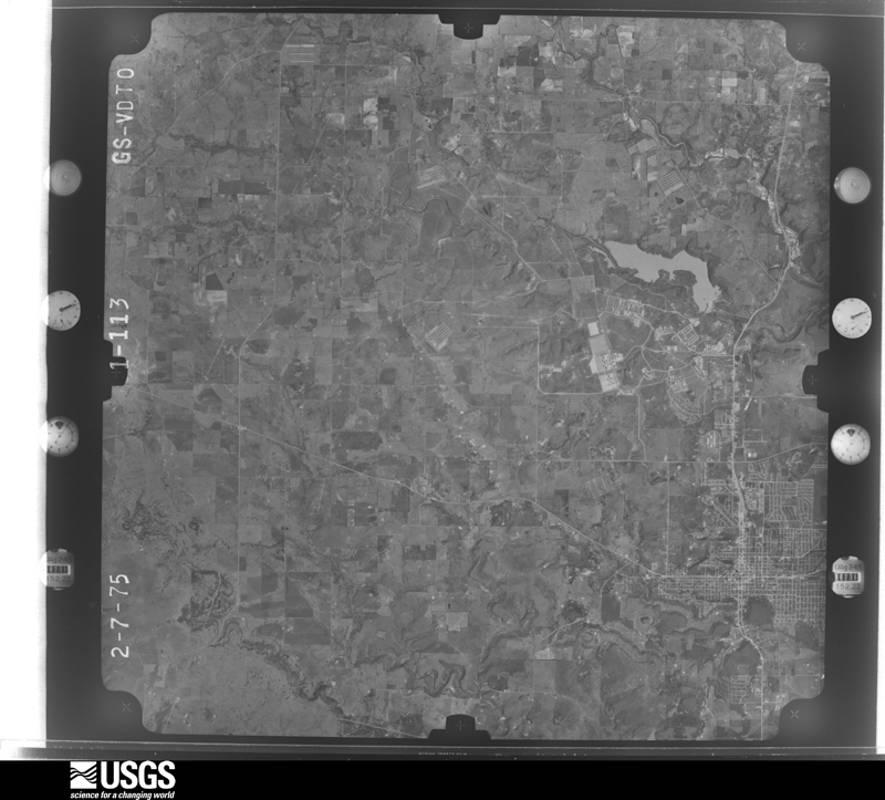
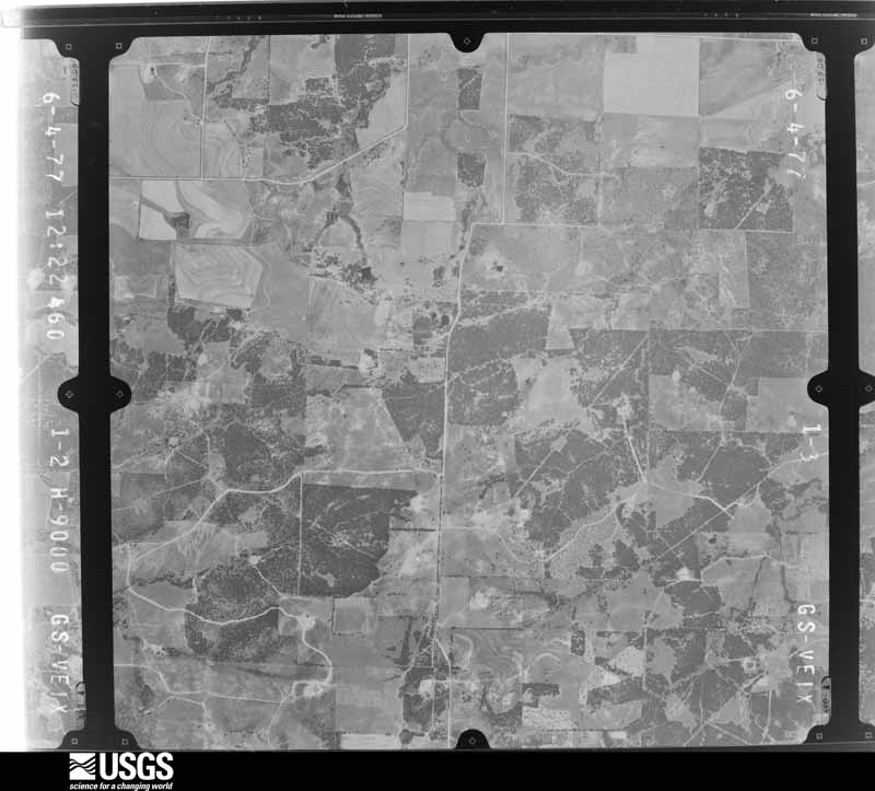
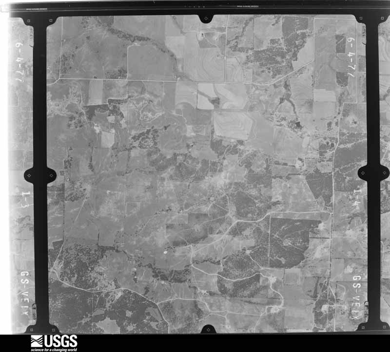
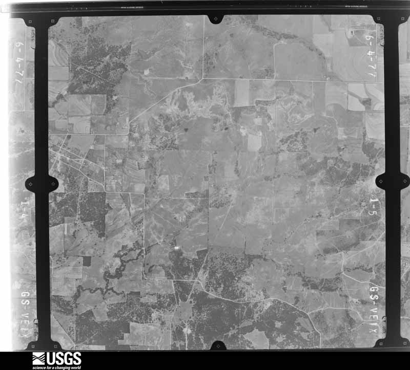
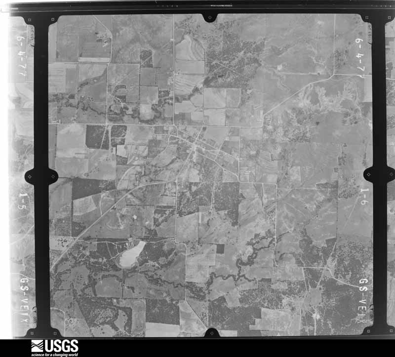
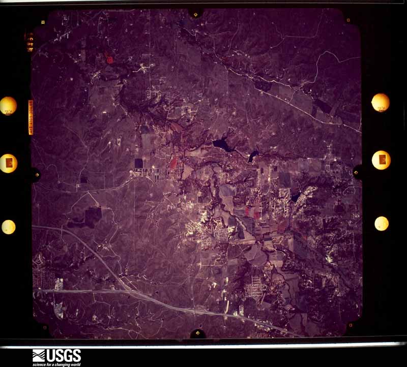
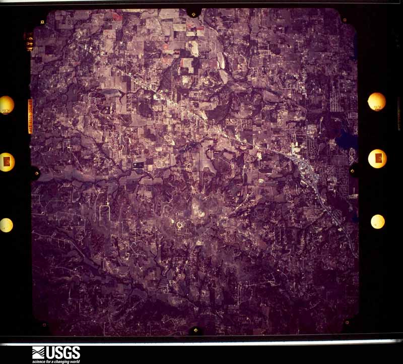
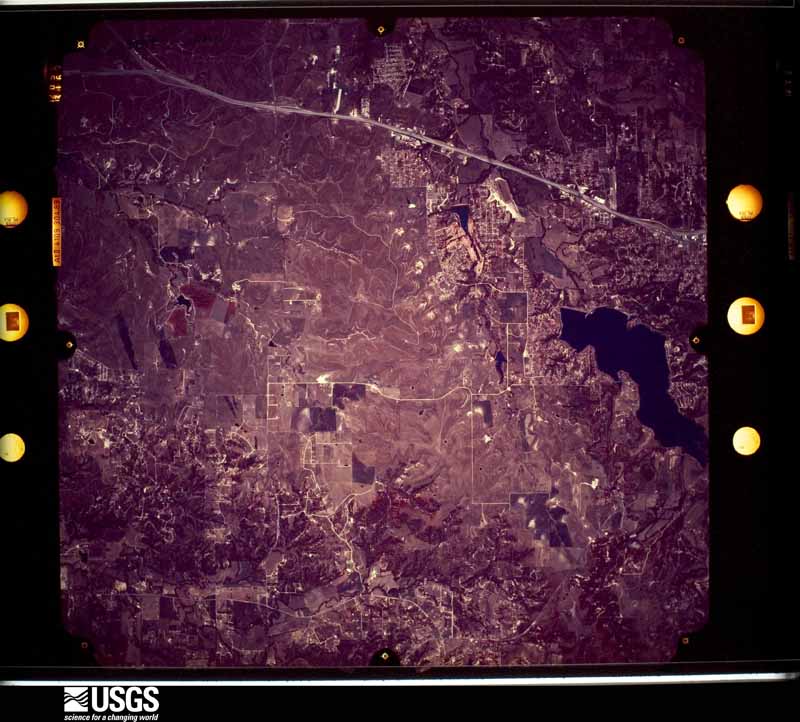
Flown by the U.S. Geological Survey between 1937 and 1989, the Aerial Photo Single Frames collection is the definitive mid-century view of the land: fields, roads and rivers as the camera saw them. The Survey holds 561 frames inside the rectangle that bounds this county; the 34 frames below were taken over the county itself, chosen across the decades of flights (at most four a year from that rectangle), so one flight cannot crowd out the rest. The full set is free to browse and download at EarthExplorer under the dataset Aerial Photo Single Frames.










The thermometers that kept this county's weather, and the gages that measured the flow of its streams, as the federal records hold them. The extremes below are measured values from those records, not estimates.
Who lived here in 1950, one enumeration district at a time, as the Census Bureau described each district. Each row opens its official National Archives result, with Population Schedules and ED Maps available there.
Every wildfire the federal occurrence database records inside this county: 1,366 of them, burning about 21,840 acres. 14 started naturally and 50 were recorded as arson. Each settlement page carries the fires within five miles of it.
| Reported cause | Fires |
|---|---|
| Missing data/not specified/undetermined | 644 |
| Debris and open burning | 387 |
| Equipment and vehicle use | 160 |
| Arson/incendiarism | 50 |
| Power generation/transmission/distribution | 45 |
| Smoking | 35 |
| Misuse of fire by a minor | 16 |
| Natural | 14 |
| Recreation and ceremony | 9 |
| Railroad operations and maintenance | 5 |
| Other causes | 1 |
The five largest, by the area the report gives. None of them was recorded as arson.
| Date | Cause | Size | Reported by | Name on the report |
|---|---|---|---|---|
| 22 January 2018 | Missing data/not specified/undetermined | 2,153 acres | Texas A & M Forest Service | FARMERS ROAD |
| 27 December 2005 | Equipment and vehicle use | 2,000 acres | Texas A & M Forest Service | 200 MOUNTAIN RIDGE |
| 29 January 2008 | Missing data/not specified/undetermined | 2,000 acres | Texas A & M Forest Service | MARKUM RANCH |
| 23 December 2005 | Equipment and vehicle use | 1,200 acres | Texas A & M Forest Service | NORTH TX - 43 |
| 27 November 2005 | Smoking | 1,000 acres | Texas A & M Forest Service | not named |
| 29 January 2008 | Missing data/not specified/undetermined | 900 acres | Texas A & M Forest Service | not named |
| 30 July 2003 | Natural | 600 acres | Texas A & M Forest Service | NORTH TX - 2 |
| 23 November 2005 | Missing data/not specified/undetermined | 450 acres | Texas A & M Forest Service | NORTH TX - 28 |
Every settlement page carries the fires within five miles of it - see the settlement index below.
The NOAA Storm Events Database holds 996 reports for this county, causing 2 deaths, 22 injuries and about $33,784,660 in recorded property damage. Each settlement page carries the reports that name it.
| Kind of event | Reports |
|---|---|
| Hail | 562 |
| Thunderstorm Wind | 274 |
| Tornado | 77 |
| Flash Flood | 65 |
| Lightning | 8 |
| Flood | 8 |
| Wildfire | 1 |
| Heavy Rain | 1 |
The most serious of them, by death, then injury, then recorded damage. The accounts are quoted exactly as the forecast office filed them.
| When | Event | Place named | Harm | What the report says |
|---|---|---|---|---|
| April 2026 | Thunderstorm Wind | Springtown Arpt | 1 killed, $1,000,000 | RFD winds of 80-100 mph occurred just outside the path of the EF-1 tornado in Springtown, making it challenging at times to distinguish the path of the tornado from the RFD wind damage. The damage in the RFD area was similar to the tornado with damage to the roofs of homes, damage to manufactured homes and trees, and other lightweight objects. Of particular note, an amateur radio operator measured an 89 mph wind gust northwest of Springtown, the Covered Bridge wedding venue off Agnes Circle suffered considerable damage to its metal building structure, and the top section of a water tower was damaged and fell down to ground level. Unfortunately a 69-year-old woman died when her mobile home rolled multiple times. |
| June 2000 | Flash Flood | Weatherford | 1 killed | A 26 year old male was swept away and drowned while walking in high water ahead of his wife. The man was trying to guide his wife across a low water crossing. His body was found about 600 am that morning. |
| May 1982 | Tornado (F2) | not stated | 6 hurt, $2,500,000 | no account filed |
| May 1973 | Tornado (F2) | not stated | 3 hurt, $25,000 | no account filed |
| February 1986 | Tornado (F2) | not stated | 2 hurt, $250,000 | no account filed |
| May 2004 | Thunderstorm Wind | Millsap | 2 hurt, $45,000 | A mobile home was destroyed by high winds on FM 113, and two persons had minor injuries. A house was unroofed by high winds. |
| March 2023 | Tornado (EF1) | Whitt | 2 hurt | The tornado developed on the southwest side of Whitt near Bounty Rd where an untethered large RV trailer was rolled upside down. There were 2 injuries reported with the damage in this area. Tree damage spans from Whitt Cut Off Road to Middleton Road and includes snapped trunks and large broken branches. As the tornado moved northeast towards the Wise County line, it caused damage to the roof of a metal building near Leech Road and rolled another untethered large RV trailer on its side along Lone Star Rd. The tornado appears to have lifted before reaching Advance Rd. Maximum estimated winds were 100 mph. |
| April 1988 | Thunderstorm Wind | not stated | 2 hurt | no account filed |
| April 1980 | Tornado (F2) | not stated | 1 hurt, $250,000 | no account filed |
| March 2025 | Thunderstorm Wind | Aledo | 1 hurt, $75,000 | RVs were overturned due to high winds near the 14500 block of White Settlement Rd in Parker County. One woman was injured and taken to the hospital. |
| June 2025 | Lightning | Weatherford Arpt | 1 hurt, $5,000 | One person suffered severe injuries from electrocution due to a lightning strike on Circle Court in the Willow Park area. |
| March 1992 | Thunderstorm Wind | not stated | 1 hurt | no account filed |
| March 1992 | Thunderstorm Wind | not stated | 1 hurt | no account filed |
| June 2004 | Flash Flood | Countywide | $7,500,000 | From the 1st through the 9th, flash flooding damaged 1,000 homes around the county, doing 1.7 million dollars damage to roads and bridges, and an additional 760,00 dollars to clean up the damage. Damage to homes is estimated at 5 million dollars. |
| May 1995 | Hail | Aledo | $4,000,000 | Large hail damaged automobiles, businesses and at least 380 homes resulting in an estimated $4 million in damages. |
| April 1990 | Tornado (F4) | not stated | $2,500,000 | no account filed |
| April 2026 | Tornado (EF3) | Cool | $2,000,000 | This is a continuation of the EF-3 tornado that began in Palo Pinto County. The tornado continued damaging homes and businesses southeast of Country Club Parkway producing damage consistent with 100 to 130 mph winds. A commercial building with a personal weather station measured 100 mph winds before the sensor failed. The tornado then intensified as it moved through the Fort Wolters Historical Park and Holiday Hills Estates. Multiple homes in Holiday Hills Estates had significant roof and window damage, producing damage consistent with 130 mph winds.||Significant damage was observed to numerous World War II era warehouse structures in the Fort Wolters Historical area. Several warehouses fully collapsed, while others only partially collapsed. All of the warehouses were built similarly with wood frames and large open spaces. The roofs were initially built similar to a residential home with plywood decking and asphalt shingles and covered with either tar and single-ply roofing membrane or sheet metal. Two warehouses also contained a brick parapet wall within the structure. One of these walls remained standing despite the entire structure around it being blown off the foundation while the other wall collapsed with the structure. Due to these factors and others surrounding the construction and structural integrity of the warehouses, it is most likely that the damage to the warehouses is consistent with 120 to 145 mph winds.||The tornado continued southeast, producing tree damage along US-180 from Washington Road to High Point Road. It then moved south of US-180 and lifted at an unknown location south of Cool. |
| April 2008 | Hail | Weatherford | $2,000,000 | Car dealerships reported damage to about 8,000 cars in the metroplex. Damage was also reported to roofs and private vehicles. |
| April 2025 | Tornado (EF1) | Weatherford | $750,000 | The same fast-moving supercell that produced the EF-0 tornado near I-20 produced a second tornado northwest of Weatherford. The second tornado, rated an EF-1 with maximum winds of 110 mph, began between Garner Adell Road and the Lake Mineral Wells State Trailway. The tornado moved north-northeast, tracking west of Coldwater Creek Lane towards the intersection of FM 920 and Johnson Bend Road. South of FM 920, most of the damage was rated in the EF-1 category where damage occurred to numerous large trees, uprooting many of them and twisting large branches around snapped trunks. One home in this area sustained notable roof damage when the winds lifted the ceiling on an upstairs balcony. Two other homes sustained minor damage. After the tornado crossed FM 920, it tracked along Johnson Bend Road uprooting more trees and causing damage to sheds and outhouses. However, the tornado also directly impacted a small complex of duplexes, taking off half the roof covering on 3 of the buildings. Continuing along a path to the north-northeast, the tornado caused minor damage in a residential area along Oak Drive, north of Johnson Bend Road. The tornado continued tracking a little bit more to the northeast, damaging trees on a property on Adair Lane, before dissipating north of this area. The maximum width of the tornado was 250 yards when the tornado was doing its most intense damage near FM 920 and Johnson Bend Road. |
| April 2025 | Tornado (EF1) | Bennett | $600,000 | An EF-1 tornado began south of Millsap, a little bit north of I-20 and east of South FM 113. The tornado directly impacted a residential property at the beginning of its track, but the home only sustained minor damage. However, many large trees were lost on the property. This is where the tornado received its highest rating of EF-1 with maximum winds of 110 mph. Moving north, the tornado impacted another home along South FM 113, damaging a carport, sheds, barns, and trees. The tornado took a more northeasterly track after reaching East Poe Prairie Road, causing relatively minor damage as it moved north along the west side of Stephens Road. However, the tornado nearly directly hit another home on the north end of Stephens Road resulting in roof damage and considerable tree damage on the property. From here, the tornado was mostly tracked for another 2 to 3 miles by broken tree limbs and other tree damage until the tornado dissipated near Old Millsap Road and Sandy Hill Road. The maximum width of the tornado was 110 yards. |
| June 2007 | Flood | Weatherford | $500,000 | Houses near the Brazos River were flooded as officials were forced to open flood gates at Possum Kingdom Lake. Some houses were flooded as much as eight feet and were not habitable for a week. |
| June 2025 | Hail | Weatherford | $500,000 | no account filed |
| May 2021 | Hail | La Junta | $500,000 | no account filed |
| June 2025 | Hail | Weatherford | $350,000 | no account filed |
| May 2021 | Hail | La Junta | $300,000 | Ping pong ball to golf ball sized hail was reported just northwest of Highway 199 and FM 730 in Azle. |
| May 2021 | Flash Flood | Lake Weatherford | $300,000 | High water was reported in the County Sheriff's Parking lot with the water depth up to the bumpers of vehicles. Water also entered the building at a depth of 1-2 inches. In addition, the public reported several instances of flooding in and around Weatherford. |
| March 2016 | Lightning | Cool | $300,000 | A house near Cool was struck by lightning and was deemed a total loss. |
| March 2025 | Thunderstorm Wind | Springtown | $250,000 | Emergency manager reported that the Senior Center in Springtown suffered damage from an estimated 85 mph winds. These winds lifted the carport awning off the front of the building and peeled the attached metal and wood paneling roof back at that location. Part of the brick facade was also knocked off on one corner. The wood covering of another covered patio was partially separated from the brick columns. Also in Springtown, a brand new mobile home was also destroyed, but its location could not be confirmed. |
| June 2023 | Hail | Weatherford | $250,000 | A social media post indicated golf ball sized hail in Weatherford, TX. |
| February 2001 | Thunderstorm Wind | Weatherford | $250,000 | A large house under construction at the Canyon West Gold Club, just west of Weatherford, was flattened by high winds. There was major damage to an outdoor pavilion at the golf club as well. |
| October 2001 | Hail | Weatherford | $250,000 | Golfball size hail damaged 250 cars and 250 houses. |
| May 2021 | Hail | Reno | $250,000 | no account filed |
| May 1982 | Tornado (F2) | not stated | $250,000 | no account filed |
| May 1976 | Tornado (F2) | not stated | $250,000 | no account filed |
| May 1976 | Tornado (F2) | not stated | $250,000 | no account filed |
| June 2007 | Flood | Dennis | $200,000 | Between 50 to 100 homes in Horseshoe Bend sustained flood damage from the Brazos River. |
| April 2021 | Thunderstorm Wind | Lake Weatherford | $150,000 | Thunderstorm winds caused damage in an area between Weatherford and Springtown around the area of Old Springtown Road, Katie Ranch Road, Friendship Road and Whipoorwill Trail. A metal barn was damaged and metal panels were removed from the barn. Elsewhere, power lines and power poles were knocked down, trees were damaged, and other small barns appeared to have been damaged. |
| June 2025 | Hail | Lake Weatherford | $150,000 | no account filed |
| June 2014 | Flash Flood | Dennis | $120,000 | Several homes in Horseshoe Bend were flooded after over 6 of rain fell in the area. The road to the boat ramp at Horseshoe Bend was washed out. Silverado Drive near Highway 51 was also shut down due to 3-4 feet of water over the roadway. |
| April 2026 | Tornado (EF1) | Springtown Arpt | $100,000 | An EF-1 tornado occurred in Parker County starting west-northwest of Springtown and tracking almost 10 miles southeast. The width of the tornado damage is listed as 2/3rd of a mile, but the distinction between the tornado track and nearby RFD winds of 80-90 mph is tough to determine; the actual tornado wasn't likely that wide. Damage along the path of the tornado was majority large tree limbs downed and damage to lightweight/metal buildings and roofs. Two homes sustained more significant damage to the second story of the home. These two homes were the justification for the 105 mph max winds. |
| April 2025 | Tornado (EF1) | Adell | $100,000 | An EF-1 tornado with maximum estimated winds of 100 mph tracked near the Adell area. Damage along the path was mostly confined to tree damage, but some minor structural damage was observed at times along the track. The tornado began south of Walker Bend Road and west of Threatt Lane. Along Walker Bend Road, minor damage to homes, sheds, and barns was observed. Tracking northeast, the tornado continued to damage some trees and outbuildings, but received its EF-1 rating at the intersection of FM 1885 and Advance Road where more notable tree damage was observed. The tornado was tracked by minor damage, mostly to trees, for another few miles before dissipating near Russell Bend Road and Dub Lane. The maximum width of the tornado was 200 yards, early in the track. |
| June 2025 | Hail | Millsap | $100,000 | Hen Egg to Tennis Ball sized hail was reported south of Millsap for a few minutes. |
| June 2023 | Hail | Springtown | $100,000 | Fire and rescue reported golf ball sized hail in Springtown. |
| April 2021 | Thunderstorm Wind | La Junta | $100,000 | Thunderstorm winds rolled a manufactured home and damaged trees around the property. |
| March 2016 | Tornado (EF1) | (Mwl)Mineral Wells A | $100,000 | A tornado caused EF-1 damage near the community of Cool, Texas on the evening of March 7th. This tornado caused significant damage to two homes and several pieces of farm equipment. The tornado began just south of Highway 180 to the east of Cool and tracked north for approximately 2 miles. |
| June 2014 | Flash Flood | Dennis | $100,000 | Several homes in the Western Lakes Estates were flooded after over 5-6 of rain fell in the area. Several feet of water was reported over the roadway that connects the two lakes in the neighborhood. |
| June 2010 | Lightning | Weatherford Arpt | $100,000 | Firefighters responded to a house fire caused by a lightning strike. The fire initially began in the attic, but the heat and smoke forced the firefighters back. The 4,000 square foot home was built in 2002. |
| June 2009 | Thunderstorm Wind | Springtown | $100,000 | Major damage to hundreds of trees was sustained in Springtown. One 80 feet tall, 10 feet wide, 100 year old pecan tree fell through the roof of a doublewide on Walnut Creek Drive. Numerous trees had to be cleared from roads around the city. Portable buildings, sheds, and fences were also damaged across town. Shingles were torn off numerous homes. City Hall lost a flag pole, gutters on the building, a light on top of the building, and shingles. A light tower at the SISD Event Complex that was designed to sustain high winds was broken. |
| August 2009 | Lightning | La Junta | $100,000 | Lightning struck two structures and started fires at both places in far eastern Parker County. The first structure was a home on Deer Crossing Way and the second was a church on Reese Lane. The home was destroyed and the church suffered minor damage to the roof. |
| June 2009 | Thunderstorm Wind | Brock | $100,000 | Widespread damage was caused in Brock. Brock Middle School sustained roof damage to its gymanisum and two churches across the street were damaged. The community center also sustained roof damage. Widespread tree damage was observed in the community; most noteable a 6 foot diameter tree that was 58 feet tall was uprooted in front of a church. A number of outbuildings sustained roof damage on Young Bend Road. The storm also knocked out power. |
| June 2004 | Thunderstorm Wind | Springtown | $100,000 | Straight line winds damaged 20 homes, and blew down trees and power lines. |
| April 1995 | Thunderstorm Wind | Springtown | $100,000 | Twenty four homes, barns, outbuildings, and wellhouses were damaged, utility poles were blown down, and a large number of trees were blown down by high winds. |
| August 1996 | Flash Flood | Weatherford | $100,000 | no account filed |
| April 2025 | Thunderstorm Wind | Poolville | $75,000 | A storm survey determined straight-line winds damaged a home on Creek Bend Dr located west of Advance and southwest of Poolville. This was the only home damaged on the street and it's elevation is notably higher than the surrounding neighbors. A lot of lightweight metal was damaged and parts of the well-built home shifted some, but not off the foundation. |
| March 2023 | Hail | Weatherford | $75,000 | Two to three inch hail was reported a few miles northwest of Weatherford. |
| May 2021 | Hail | Weatherford | $75,000 | A public report indicated golf ball sized hail approximately 3 miles south-southwest of Weatherford, TX. |
| May 2021 | Hail | Lake Weatherford | $75,000 | A public report indicated golf ball sized hail in the city of Willow Park, TX. |
| April 2016 | Thunderstorm Wind | Lake Weatherford | $75,000 | Approximately 10 homes on East Lake Drive on the east side of Lake Weatherford were damaged by straight line thunderstorm winds. Tree limbs fell on roads, vehicles, campers, and homes. One shed was crushed by falling tree limbs and other debris. The roof of at least one home was partially removed. |
| May 2011 | Hail | La Junta | $75,000 | Grapefruit sized hail was reported 1 mile north of Sanctuary. |
| February 1997 | Flash Flood | Anneta | $75,000 | no account filed |
The Survey's mineral resources record lists 9 workings inside this county. 7 still produce and 2 are closed or unrecorded. Each settlement page carries the workings within five miles of it.
| Commodity | Workings |
|---|---|
| Stone, Crushed/Broken | 3 |
| Clay | 2 |
| Fire Clay (Refractory), Uranium | 1 |
| Stone, Crushed/Broken, Fire Clay (Refractory) | 1 |
| Sand and Gravel, Construction | 1 |
| Sand and Gravel, Construction, Stone, Crushed/Broken | 1 |
The least common of them first, because a county's hundredth gravel pit says nothing its first ten did not.
| Where | Site | Commodity | Status | Recorded |
|---|---|---|---|---|
| Aledo Pit & Plant | Sand and Gravel, Construction | Past Producer | ||
| Bennett Pit | Fire Clay (Refractory), Uranium | Producer | Sedimentary | |
| Texoline Quarry | Sand and Gravel, Construction, Stone, Crushed/Broken | Producer | ||
| Unnamed Pit | Stone, Crushed/Broken, Fire Clay (Refractory) | Producer | Sedimentary | |
| Bennett Plant | Clay | Producer | ||
| Mineral Wells Clay Products Pit | Clay | Producer | ||
| Abandoned Pit | Stone, Crushed/Broken | Past Producer | ||
| Industrial Quarry | Stone, Crushed/Broken | Producer | ||
| Weatherford Quarry | Stone, Crushed/Broken | Producer |
Named settlements recorded in the Geographic Names Information System, each with the topographic sheets covering it. Villages, hamlets and abandoned places alike. Each is shown with the nearest named watercourse or landform and the survey quadrangle it falls on.
Weatherford Northwest census division · 76088 · On Cottonwood Creek · Adell quadrangle
18 sheets, 1891 to 1985
Weatherford Northwest census division · 76088 · Near Slipdown Mountain · Adell quadrangle
18 sheets, 1891 to 1985
Weatherford Northwest census division · 76082 · Near Skeen Peak · Poolville quadrangle
17 sheets, 1891 to 1985
Weatherford Southeast census division · 76008 · On Town Creek · Aledo quadrangle
18 sheets, 1891 to 1985
Weatherford Southeast census division · 76008 · On Burgess Creek · Annetta quadrangle
17 sheets, 1891 to 1985
Weatherford Southeast census division · 76008 · On Burgess Creek · Annetta quadrangle
17 sheets, 1891 to 1985
Weatherford Southeast census division · 76008 · On Little Creek · Annetta quadrangle
17 sheets, 1891 to 1985
Weatherford census division · 76066 · On Grassy Branch · Brazos East quadrangle
20 sheets, 1891 to 1985
Weatherford census division · 76087 · On Folley Branch · Weatherford South quadrangle
18 sheets, 1891 to 1985
Weatherford census division · 76087 · On Olive Branch · Brock quadrangle
18 sheets, 1891 to 1985
Weatherford census division · 76066 · On Little Grindstone Creek · Brock quadrangle
18 sheets, 1891 to 1985
Springtown-Reno census division · 76082 · Near Buck Knob · Springtown quadrangle
18 sheets, 1891 to 1985
Weatherford Southeast census division · 76087 · On Willow Creek · Annetta quadrangle
17 sheets, 1891 to 1985
Weatherford Northwest census division · 76088 · On Patterson Branch · Mineral Wells East quadrangle
18 sheets, 1891 to 1985
Weatherford census division · 76439 · On Rocky Run · Dennis quadrangle
18 sheets, 1891 to 1985
Springtown-Reno census division · 76087 · On Hays Branch · Lake Weatherford quadrangle
16 sheets, 1891 to 1985
Weatherford Southeast census division · 76087 · On Brogden Branch · Annetta quadrangle
17 sheets, 1891 to 1985
Springtown-Reno census division · 76082 · Near Indian Knob · Springtown quadrangle
18 sheets, 1891 to 1985
Weatherford census division · 76088 · Weatherford North quadrangle
17 sheets, 1891 to 1985
Weatherford census division · 76087 · On Folley Branch · Weatherford South quadrangle
18 sheets, 1891 to 1985
Springtown-Reno census division · 76082 · Springtown quadrangle
18 sheets, 1891 to 1985
Weatherford Southeast census division · 76087 · On Underwood Branch · Lake Weatherford quadrangle
16 sheets, 1891 to 1985
Springtown-Reno census division · 76082 · Near Burton Knob · Azle quadrangle
20 sheets, 1891 to 1985
Weatherford census division · 76066 · On Little Onion Branch · Dennis quadrangle
18 sheets, 1891 to 1985
Weatherford census division · 76066 · On Duke Mountain Branch · Brazos East quadrangle
20 sheets, 1891 to 1985
Weatherford Northwest census division · 76088 · On Peaster Creek · Weatherford North quadrangle
17 sheets, 1891 to 1985
Weatherford Northwest census division · 76487 · Poolville quadrangle
17 sheets, 1891 to 1985
Weatherford census division · 76462 · On Patrick Creek · Dennis quadrangle
18 sheets, 1891 to 1985
Weatherford census division · 76066 · On Lick Branch · Garner quadrangle
18 sheets, 1891 to 1985
Weatherford census division · 76087 · On Underwood Branch · Lake Weatherford quadrangle
16 sheets, 1891 to 1985
Springtown-Reno census division · 76020 · On Cottonwood Branch · Azle quadrangle
20 sheets, 1891 to 1985
Springtown-Reno census division · 76085 · Near Burton Knob · Azle quadrangle
20 sheets, 1891 to 1985
Springtown-Reno census division · 76082 · On Browders Creek · Springtown quadrangle
18 sheets, 1891 to 1985
Weatherford census division · 76462 · By Stephens Bluff · Dennis quadrangle
18 sheets, 1891 to 1985
Weatherford census division · 76087 · On Sanchez Creek · Tin Top quadrangle
20 sheets, 1891 to 1985
Weatherford Southeast census division · 76087 · On Indian Creek · Lake Weatherford quadrangle
16 sheets, 1891 to 1985
Weatherford census division · 76086 · Near Oyster Hill · Weatherford North quadrangle
17 sheets, 1891 to 1985
Weatherford census division · 76087 · On Hart Branch · Tin Top quadrangle
20 sheets, 1891 to 1985
Weatherford Northwest census division · 76088 · Near Red Hollow · Whitt quadrangle
18 sheets, 1891 to 1985
Weatherford Southeast census division · 76087 · On Reservoir Creek · Lake Weatherford quadrangle
16 sheets, 1891 to 1985
Springtown-Reno census division · 76085 · On Rankin Branch · Lake Weatherford quadrangle
16 sheets, 1891 to 1985