 Block
BlockBrock, Texas
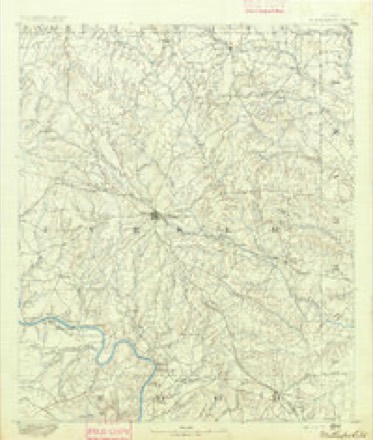
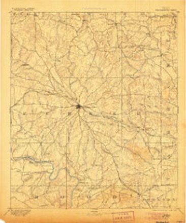
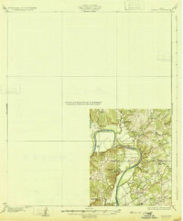
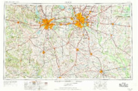
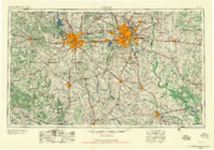
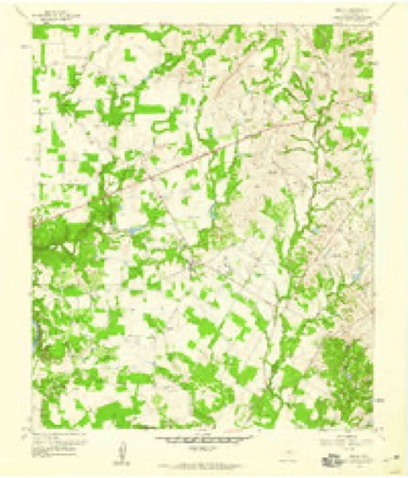
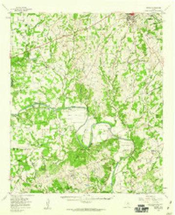
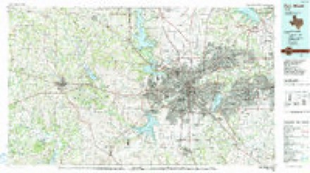
18 topographic sheets cover this place, the earliest surveyed in 1891 and the latest in 1985. It stands in the Weatherford census division. It lies in ZIP code area 76087. It stands on Olive Branch. The Survey maps it on the Brock quadrangle.
Topographic sheets covering this place
8 surveys from 18 printed sheetsMatched by testing this settlement's coordinate against the published boundary of every sheet in the United States Geological Survey's historical collection. Each opens the scanned sheet at the Survey.
- 1891 USGS Weatherford quadrangle1:125000
- 1893 USGS Weatherford quadrangle1:125000, 5 printings
- 1931 USGS Dennis quadrangle1:62500
- 1954 USGS Dallas quadrangle1:250000, 4 printings
- 1958 USGS Dallas quadrangle1:250000
- 1959 USGS Brock quadrangle1:24000, 3 printings
- 1959 USGS Dennis quadrangle1:62500
- 1985 USGS Fort Worth quadrangle1:100000, 2 printings
Fires near this place
125 since 2005Regional context, not property-specific evidence. The federal wildfire occurrence database lists 125 fires within 5 miles of Brock between 2005 and 2020, burning about 1,384 acres in total. None started naturally. 3 were recorded as arson. Distance is straight-line from the map coordinates, so a fire counted here may appear on a neighbouring settlement's page as well.
| Reported cause | Fires |
|---|---|
| Missing data/not specified/undetermined | 65 |
| Debris and open burning | 28 |
| Smoking | 13 |
| Equipment and vehicle use | 11 |
| Arson/incendiarism | 3 |
| Power generation/transmission/distribution | 3 |
| Misuse of fire by a minor | 2 |
The most recent of them, most recent first, with the day each was reported and the service that recorded it.
| Date | Cause | Size | Reported by | Name on the report |
|---|---|---|---|---|
| 2 September 2011 | Missing data/not specified/undetermined | 5.0 acres | Texas A & M Forest Service | OLD BROCK ROAD |
| 16 September 2019 | Missing data/not specified/undetermined | 20 acres | Texas A & M Forest Service | 4400 OLD DENNIS ROAD |
| 15 September 2019 | Missing data/not specified/undetermined | under an acre | Texas A & M Forest Service | 403 MM WB INTERSTATE 20 |
| 6 August 2008 | Missing data/not specified/undetermined | 2.0 acres | Texas A & M Forest Service | not named |
| 6 August 2008 | Debris and open burning | 3.5 acres | Texas A & M Forest Service | not named |
| 25 August 2016 | Missing data/not specified/undetermined | under an acre | Texas A & M Forest Service | 2300 COX ROAD |
| 25 August 2016 | Debris and open burning | under an acre | Texas A & M Forest Service | 500 BARNES ROAD |
| 24 August 2013 | Missing data/not specified/undetermined | 1.0 acres | Texas A & M Forest Service | I-20 CMD |
Settlements close enough to share some of these fires:
Mines and quarries near this place
2 within 5 milesRegional context, not property-specific evidence. The federal mineral resources record lists 2 workings within 5 miles of Brock: 1 producer, 1 past producer. 1 still produces. What was taken out: Stone, Crushed/Broken. Distance is straight-line from the map coordinates, so a quarry counted here may appear on a neighbouring settlement's page as well.
| Where | Site | Commodity | Status | Recorded |
|---|---|---|---|---|
| Abandoned Pit | Stone, Crushed/Broken | Past Producer | ||
| Industrial Quarry | Stone, Crushed/Broken | Producer |
Storms near this place
30 since 1994Regional context, not property-specific evidence. The National Weather Service names Brock in 30 storm reports between 1994 and 2026: 16 hail, 9 thunderstorm wind, 4 tornado, 1 flash flood. No death or injury is recorded in these reports. Each account below is quoted exactly as the forecast office filed it, from the NOAA Storm Events Database, and each date opens the federal record of that event.
| When | Event | Place named | Harm | What the report says |
|---|---|---|---|---|
| June 2009 | Thunderstorm Wind | Brock | $100,000 | Widespread damage was caused in Brock. Brock Middle School sustained roof damage to its gymanisum and two churches across the street were damaged. The community center also sustained roof damage. Widespread tree damage was observed in the community; most noteable a 6 foot diameter tree that was 58 feet tall was uprooted in front of a church. A number of outbuildings sustained roof damage on Young Bend Road. The storm also knocked out power. |
| June 2014 | Flash Flood | Brock | $50,000 | Timber Wild Drive in Brock was being barricaded due to an estimated 10 of water over the road. Ox Mill Creek Road was also being barricaded. Water was also reported over Old Dennis Road and Daniel Road. A vehicle became trapped in high water on Old Brock Road. |
| May 1994 | Thunderstorm Wind | Brock | $50,000 | A double-wide mobile home was overturned, and homes were damaged by thunderstorm winds. |
| June 2009 | Tornado (EF1) | Brock | $30,000 | Carports and trees were ripped up as a tornado was tracked approximately 11 miles southeast of Millsap. Storage buildings were also destroyed. |
| March 2000 | Thunderstorm Wind | Brock | $30,000 | A mobile home was overturned in the Horseshoe Bend area, and another moved off foundation. Eight portable buildings were also damaged. |
| April 2026 | Hail | Brock | $25,000 | Facebook photos and local emergency management reported hail between golf ball to tennis ball size fell in Brock. |
| August 2025 | Thunderstorm Wind | Brock | $25,000 | Emergency management reported heavy damage to a metal county precinct barn in the community of Brock. A weather station nearby recorded a 74 mph wind gust. |
| June 2011 | Thunderstorm Wind | Brock | $15,000 | Strong winds from a dissipating storm, possibly a heatburst, tore the metal roof off a mobile home in Brock. Near this time, the automated weather station at the Mineral Wells Airport (KMWL) reported a 56 MPH wind gust. |
| April 2025 | Tornado (EF0) | Brock | $12,000 | A small, weak, intermittent EF-0 tornado with max winds of 65 mph touched down around 6.2 miles southwest of Weatherford and moved northward before lifting in the Greenwood community around 3.7 miles west of Weatherford. Large tree branches were blown down and an outbuilding was flipped over along Royal Santana Run, and a few trees and tree branches were blown down along Old Brock Road and Coy Road. North of I-20, a few tree branches were blown down along Ranger Highway east of Greenwood Cut Off Road and near Desperado Way, and a home and barn received minor damage between Greenwood Cut Off Road and High Meadows Drive. |
| June 2025 | Hail | Brock | $11,000 | Report from mPING: Hen Egg (2.00 in.). |
| June 2025 | Hail | Brock | $11,000 | Hen egg sized hail was reported near mile marker 401 on I-20. |
| April 2026 | Hail | Brock | $9,000 | Amateur radio operator reported 2 inch hail southwest of Weatherford, near Dennis Road and FM 1189. |
| May 2009 | Hail | Brock | $8,000 | Golfball hail was observed in Brock. |
| April 2026 | Hail | Brock | $7,000 | Report of 1.75 inch hail from mPING. |
| April 2026 | Hail | Brock | $7,000 | Emergency manager reported golf ball sized hail in Brock. |
| May 2009 | Thunderstorm Wind | Brock | $7,000 | Estimated winds of 60-70 mph knocked down tree limbs and fences in Brock. |
| October 2019 | Hail | Brock | $500 | A social media report indicated ping pong ball sized hail in the city of Brock, TX. |
| June 2009 | Thunderstorm Wind | Brock | $500 | The trailer of an 18-wheeler was blown over onto its side at Rig Trucking at Interstate 20 and FM 1189. |
| April 2026 | Hail | Brock | - | Amateur radio operator reports 1 inch hail near mile marker 403 on I-20 southwest of Weatherford. |
| May 2025 | Hail | Brock | - | Report from mPING: Quarter (1.00 in.). |
| June 2025 | Hail | Brock | - | Report from mPING: Half Dollar (1.25 in.). |
| December 2022 | Tornado (EF0) | Brock | - | An EF-0 tornado briefly affected Parker County on the southwest side of Greenwood, southwest of Weatherford. The tornado touched down just south of I-20 on Quanah Hill Road near Dennis Road where tree damage was noted along with damage to a nearby parked trailer. Moving northeast the tornado crossed Interstate 20 where multiple 18 wheelers were flipped over. Just north of Interstate 20, the tornado impacted a commercial warehouse/garage on Dennis Road where the overhead doors and a portion of the south wall collapsed outward while the overhead doors on the north side of the building collapsed inward. The tornado continued northeastward into a neighborhood north of Quanah Hill Road where additional tree damage was noted with additional minor damage along the street before the tornado lifted. Maximum estimated winds were 85 mph. |
| May 2016 | Thunderstorm Wind | Brock | - | Amateur radio reported a 60 MPH wind gust approximately 6 miles southwest of Weatherford, TX. |
| May 2013 | Tornado (EF0) | Brock | - | Off duty NWS employees observed a tornado near the Brock exit on I-20. This was the third in a series of tornadoes in and around Millsap. Damage was contained to open fields. |
| April 2012 | Hail | Brock | - | Quarter sized hail was reported from the intersection of Dennis Road and Interstate 20, north towards Greenwood. |
| March 2000 | Hail | Brock | - | Occurred at Tin Top. |
| March 2000 | Hail | Brock | - | Occurred at Tin Top. |
| April 1997 | Thunderstorm Wind | Brock | - | Trees were blown down by strong winds. |
| April 2002 | Hail | Brock | - | no account filed |
| June 1999 | Hail | Brock | - | no account filed |
Nearest settlements
The eight closest, with where each one stands in the county. Distances are straight-line, computed from the Geographic Names Information System coordinates.
| Map | Place | Distance | Sheets |
|---|---|---|---|
| Brock Junction | 2.0 miles | 18 | |
| Maxwell Crossing | 3.8 miles | 18 | |
| Dennis | 4.0 miles | 18 | |
| Stephens Crossing | 4.2 miles | 18 | |
| Powell Crossing | 4.4 miles | 18 | |
| Millsap | 6.1 miles | 20 | |
| Buckner | 6.3 miles | 18 | |
| Bennett | 6.4 miles | 20 |
Elsewhere
Matched on this settlement's Geographic Names Information System number rather than its name, so it cannot be a different place of the same name in another state.
| Wikipedia article on Brock | An encyclopaedic summary. Its text is share-alike, so it is linked here rather than copied. |
| Wikidata item Q4972690 | The structured record the population and elevation above come from. Public domain (CC0). |
Provenance
This settlement is recorded in the Geographic Names Information System as feature 1378050. The sheet list is computed by point-in-boundary test against the United States Geological Survey's historical topographic inventory. Both are works of the United States government and carry no copyright under 17 U.S.C. 105.
Wildfire. Short, Karen C. 2022. Spatial wildfire occurrence data for the United States, 1992-2020 [FPA_FOD_20221014]. 6th Edition. Fort Collins, CO: Forest Service Research Data Archive. https://doi.org/10.2737/RDS-2013-0009.6 Collected with United States Government funding and usable without additional permissions or fees.
Mines and quarries. USGS Mineral Resources Data System (MRDS) https://mrdata.usgs.gov/mrds/ A work of the United States government, no copyright under 17 U.S.C. 105.
Storms. NOAA National Centers for Environmental Information, Storm Events Database https://www.ncei.noaa.gov/stormevents/ A work of the United States government, no copyright under 17 U.S.C. 105. Narratives are quoted verbatim from the National Weather Service report and are not edited or summarised.