 Block
BlockBennett, Texas
20 topographic sheets cover this place, the earliest surveyed in 1891 and the latest in 1985. It stands in the Weatherford census division. It lies in ZIP code area 76066. It stands on Grassy Branch. The Survey maps it on the Brazos East quadrangle.
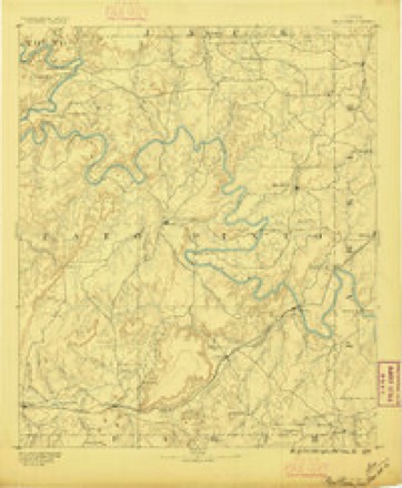
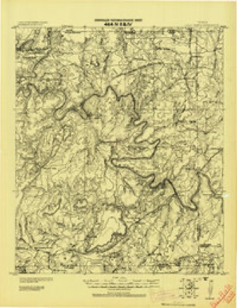
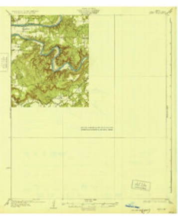
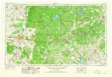
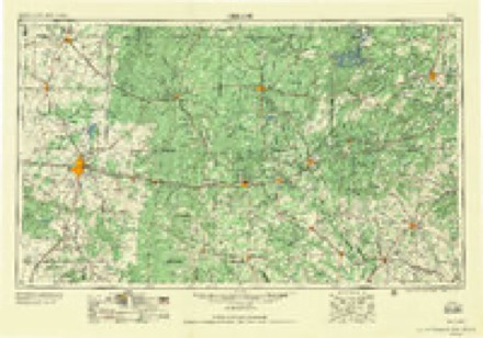
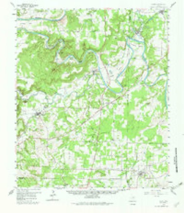
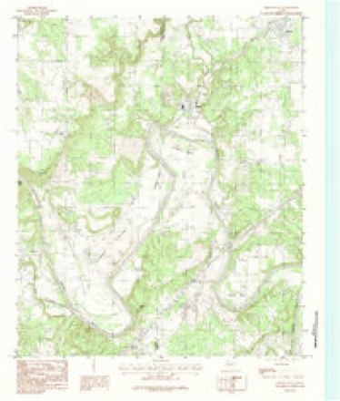
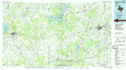
Topographic sheets covering this place
8 surveys from 20 printed sheetsMatched by testing this settlement's coordinate against the published boundary of every sheet in the United States Geological Survey's historical collection. Each opens the scanned sheet at the Survey.
- 1891 USGS Palo Pinto quadrangle1:125000, 7 printings
- 1918 USGS Palo Pinto quadrangle1:125000
- 1931 USGS Santo quadrangle1:62500, 3 printings
- 1954 USGS Abilene quadrangle1:250000, 2 printings
- 1958 USGS Abilene quadrangle1:250000
- 1959 USGS Lipan quadrangle1:62500, 3 printings
- 1984 USGS Brazos East quadrangle1:24000
- 1985 USGS Mineral Wells quadrangle1:100000, 2 printings
Fires near this place
211 since 2005Regional context, not property-specific evidence. The federal wildfire occurrence database lists 211 fires within 5 miles of Bennett between 2005 and 2020, burning about 2,750 acres in total. 4 started naturally. 2 were recorded as arson. Distance is straight-line from the map coordinates, so a fire counted here may appear on a neighbouring settlement's page as well.
| Reported cause | Fires |
|---|---|
| Debris and open burning | 95 |
| Missing data/not specified/undetermined | 48 |
| Equipment and vehicle use | 41 |
| Power generation/transmission/distribution | 9 |
| Smoking | 7 |
| Natural | 4 |
| Railroad operations and maintenance | 3 |
| Recreation and ceremony | 2 |
| Arson/incendiarism | 2 |
The most recent of them, most recent first, with the day each was reported and the service that recorded it.
| Date | Cause | Size | Reported by | Name on the report |
|---|---|---|---|---|
| 9 September 2008 | Equipment and vehicle use | 100 acres | Texas A & M Forest Service | not named |
| 6 September 2011 | Equipment and vehicle use | under an acre | Texas A & M Forest Service | 3489 281 S |
| 6 September 2010 | Equipment and vehicle use | 4.0 acres | Texas A & M Forest Service | DOBBS VALLEY FIRE #1 |
| 5 September 2011 | Power generation/transmission/distribution | 5.0 acres | Texas A & M Forest Service | PC TASK FORCE |
| 5 September 2011 | Power generation/transmission/distribution | 50 acres | Texas A & M Forest Service | GHOLSON ROAD |
| 5 September 2008 | Debris and open burning | 25 acres | Texas A & M Forest Service | not named |
| 30 September 2007 | Railroad operations and maintenance | 25 acres | Texas A & M Forest Service | not named |
| 27 September 2006 | Debris and open burning | 2.0 acres | Texas A & M Forest Service | not named |
Settlements close enough to share some of these fires:
Mines and quarries near this place
5 within 5 milesRegional context, not property-specific evidence. The federal mineral resources record lists 5 workings within 5 miles of Bennett: 5 producers. All of them still produce. What was taken out: Clay, Stone, Crushed/Broken, Fire Clay (Refractory), Fire Clay (Refractory), Uranium. Distance is straight-line from the map coordinates, so a quarry counted here may appear on a neighbouring settlement's page as well.
| Where | Site | Commodity | Status | Recorded |
|---|---|---|---|---|
| Bennett Pit | Fire Clay (Refractory), Uranium | Producer | Sedimentary | |
| Cromer Pit | Fire Clay (Refractory) | Producer | Clay | |
| Industrial Quarry | Stone, Crushed/Broken | Producer | ||
| Bennett Plant | Clay | Producer | ||
| Kelley Pit | Clay | Producer |
Storms near this place
9 since 2009Regional context, not property-specific evidence. The National Weather Service names Bennett in 9 storm reports between 2009 and 2026: 5 hail, 2 thunderstorm wind, 1 flash flood, 1 tornado. No death or injury is recorded in these reports. Each account below is quoted exactly as the forecast office filed it, from the NOAA Storm Events Database, and each date opens the federal record of that event.
| When | Event | Place named | Harm | What the report says |
|---|---|---|---|---|
| April 2025 | Tornado (EF1) | Bennett | $600,000 | An EF-1 tornado began south of Millsap, a little bit north of I-20 and east of South FM 113. The tornado directly impacted a residential property at the beginning of its track, but the home only sustained minor damage. However, many large trees were lost on the property. This is where the tornado received its highest rating of EF-1 with maximum winds of 110 mph. Moving north, the tornado impacted another home along South FM 113, damaging a carport, sheds, barns, and trees. The tornado took a more northeasterly track after reaching East Poe Prairie Road, causing relatively minor damage as it moved north along the west side of Stephens Road. However, the tornado nearly directly hit another home on the north end of Stephens Road resulting in roof damage and considerable tree damage on the property. From here, the tornado was mostly tracked for another 2 to 3 miles by broken tree limbs and other tree damage until the tornado dissipated near Old Millsap Road and Sandy Hill Road. The maximum width of the tornado was 110 yards. |
| April 2026 | Hail | Bennett | $15,000 | Amateur radio operator reported a 2.75 inch hailstone in Millsap. |
| April 2026 | Hail | Bennett | $15,000 | Amateur radio operator reported a 2.75 inch hailstone in Millsap. |
| May 2025 | Hail | Bennett | $11,000 | no account filed |
| April 2015 | Thunderstorm Wind | Bennett | $4,000 | Tree limbs 3-6 inches in diameter were knocked down on River View Road near Bennett. |
| July 2009 | Flash Flood | Bennett | $1,000 | Ponding of water on Interstate 20 and its service roads between FM 113 and HWY 281 was reported. |
| August 2017 | Thunderstorm Wind | Bennett | $500 | A public report indicated large tree limbs blown down on River View and Soda Springs Roads. |
| June 2025 | Hail | Bennett | - | Report from mPING: Ping Pong Ball (1.50 in.). |
| April 2018 | Hail | Bennett | - | Amateur radio reported penny sized hail on the Brazos River at Interstate 20 approximately 5 miles south-southwest of the city of Millsap, TX. |
Nearest settlements
The eight closest, with where each one stands in the county. Distances are straight-line, computed from the Geographic Names Information System coordinates.
| Map | Place | Distance | Sheets |
|---|---|---|---|
| Millsap | 2.9 miles | 20 | |
| Brock Junction | 5.0 miles | 18 | |
| Cool | 6.1 miles | 18 | |
| Preble | 6.3 miles | 18 | |
| Brock | 6.4 miles | 18 | |
| Stephens Crossing | 8.2 miles | 18 | |
| Fox | 8.4 miles | 18 | |
| Garner | 8.5 miles | 18 |
Provenance
This settlement is recorded in the Geographic Names Information System as feature 1330420. The sheet list is computed by point-in-boundary test against the United States Geological Survey's historical topographic inventory. Both are works of the United States government and carry no copyright under 17 U.S.C. 105.
Wildfire. Short, Karen C. 2022. Spatial wildfire occurrence data for the United States, 1992-2020 [FPA_FOD_20221014]. 6th Edition. Fort Collins, CO: Forest Service Research Data Archive. https://doi.org/10.2737/RDS-2013-0009.6 Collected with United States Government funding and usable without additional permissions or fees.
Mines and quarries. USGS Mineral Resources Data System (MRDS) https://mrdata.usgs.gov/mrds/ A work of the United States government, no copyright under 17 U.S.C. 105.
Storms. NOAA National Centers for Environmental Information, Storm Events Database https://www.ncei.noaa.gov/stormevents/ A work of the United States government, no copyright under 17 U.S.C. 105. Narratives are quoted verbatim from the National Weather Service report and are not edited or summarised.