 Block
BlockTerry County, Texas
25 topographic sheets cover 11 settlements here.
Research this county
What the record shows
- 84 topographic sheet readings cover the county's settlements.
- The Geographic Names Information System records 11 populated places in this county; 11 are covered by at least one topographic sheet.
The county from the air
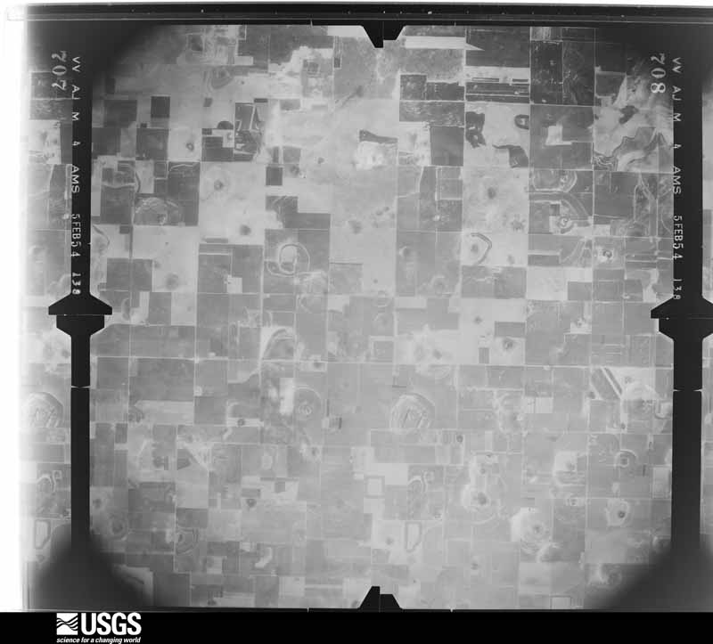
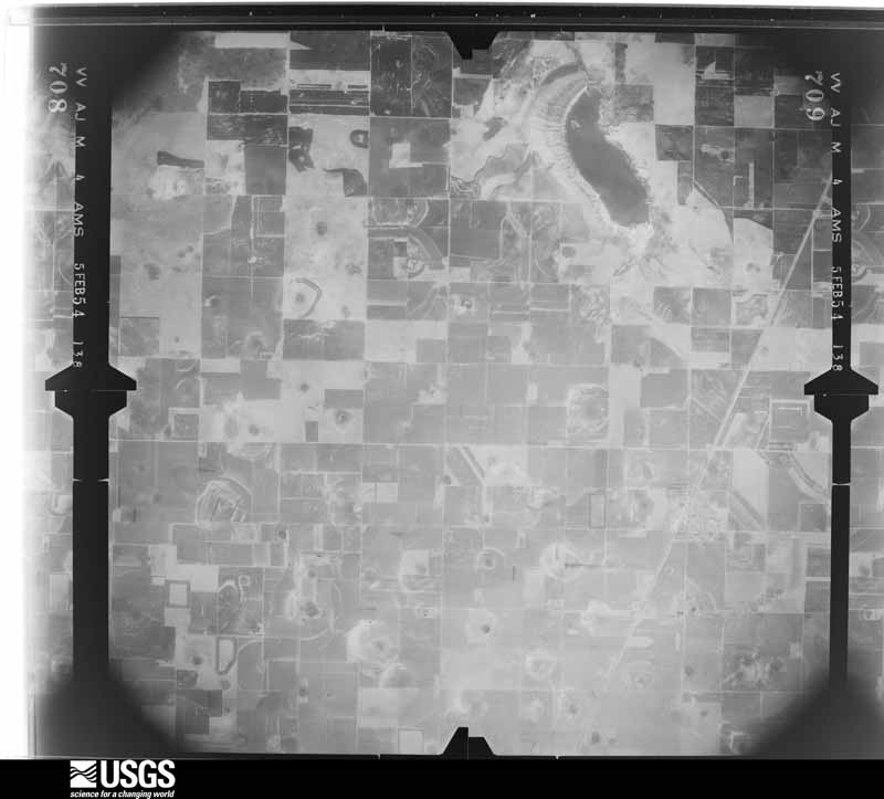
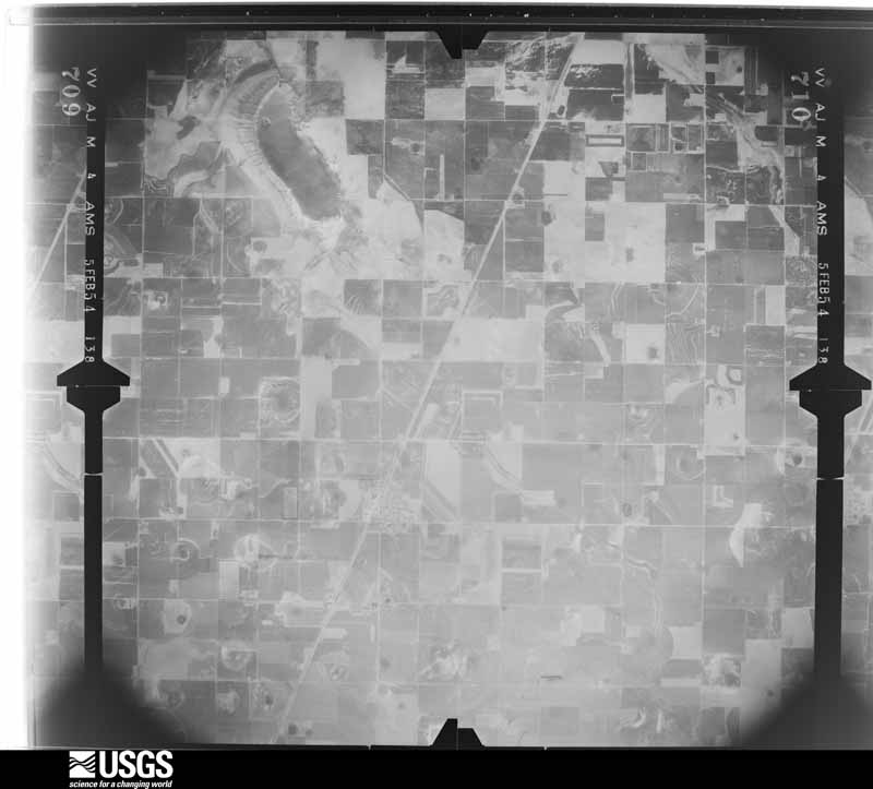
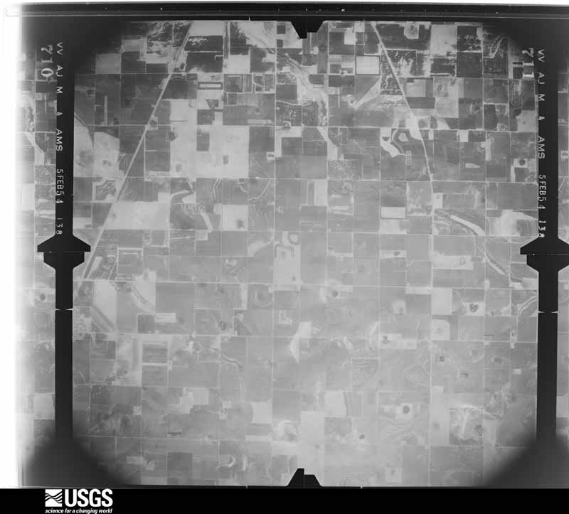
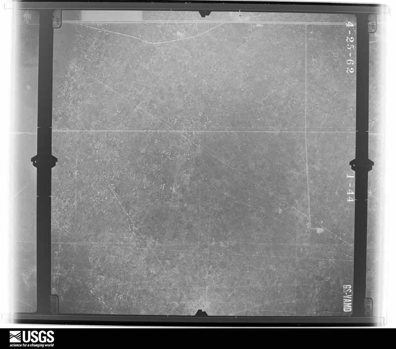
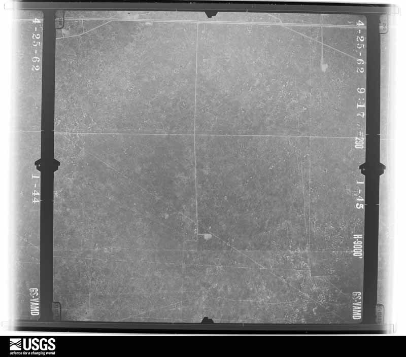
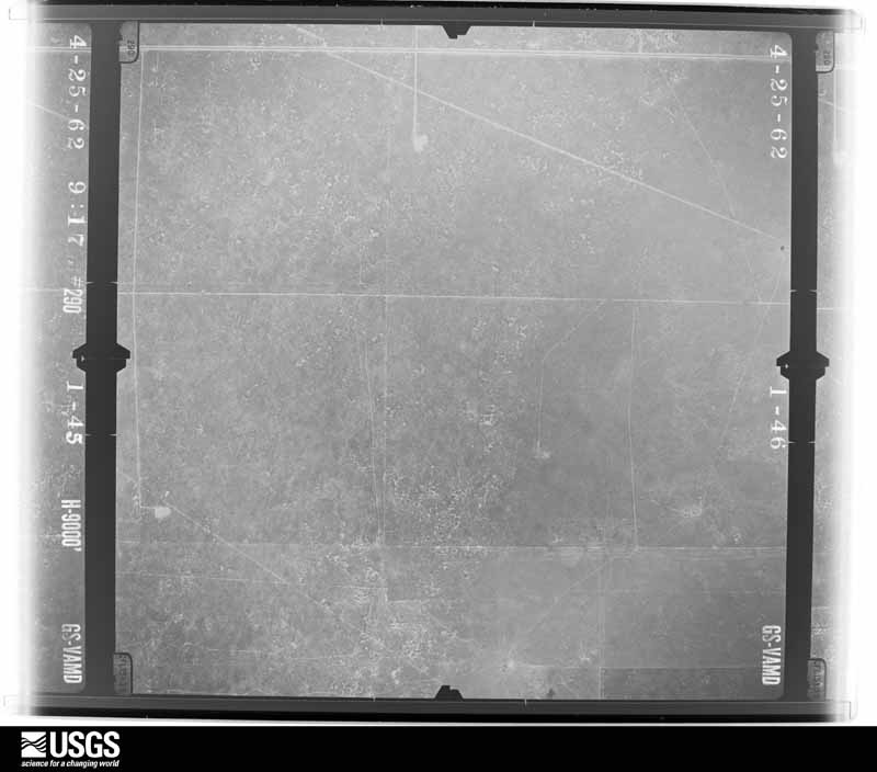
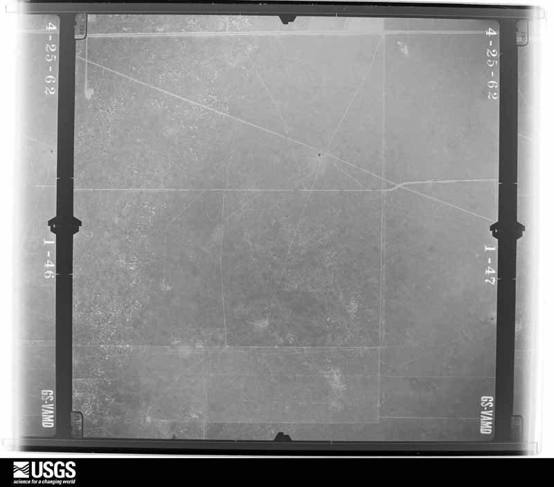
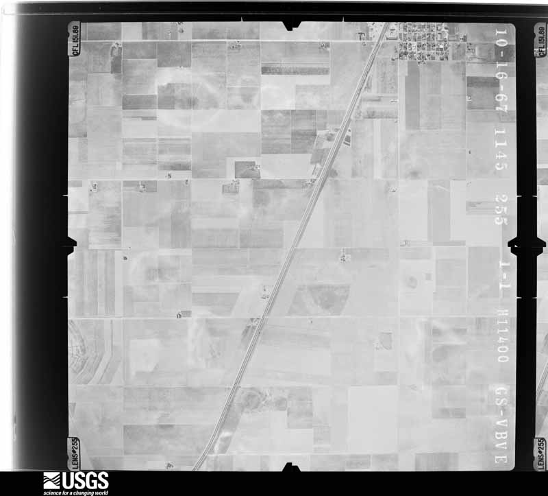
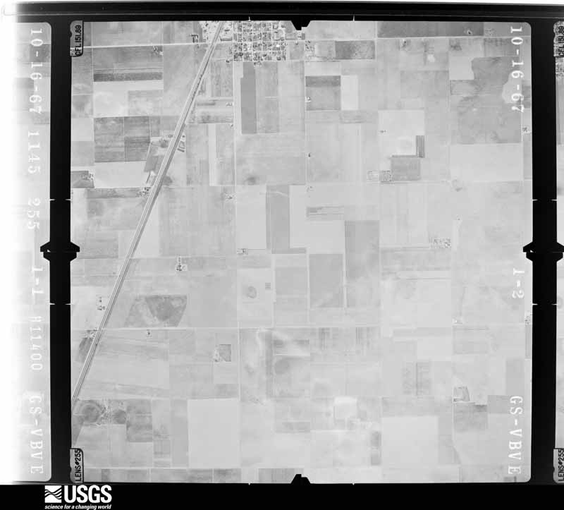
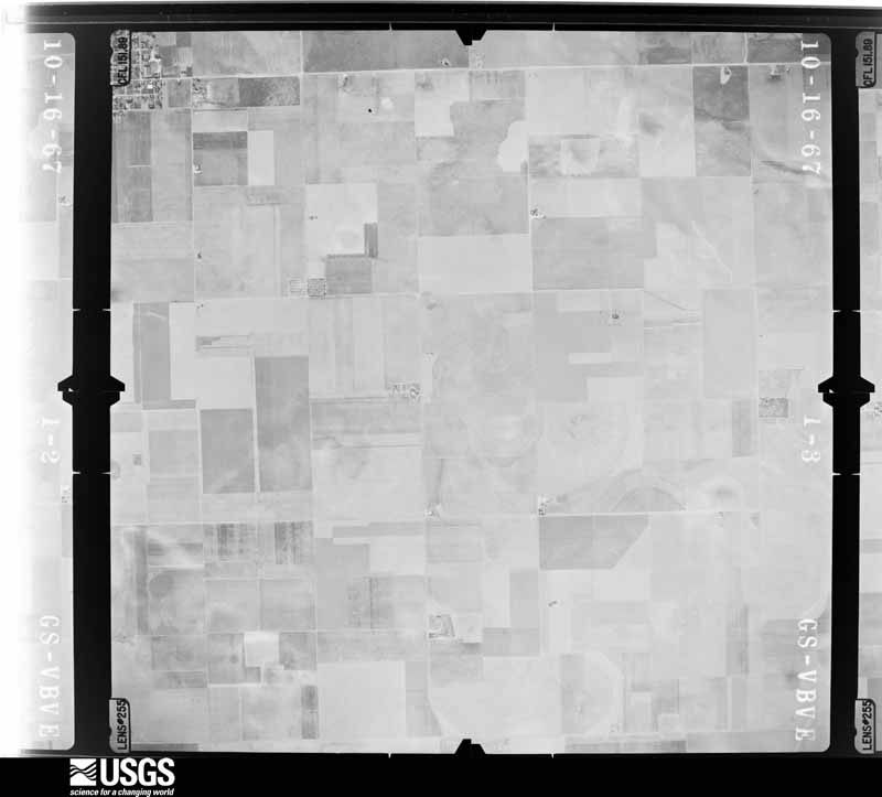
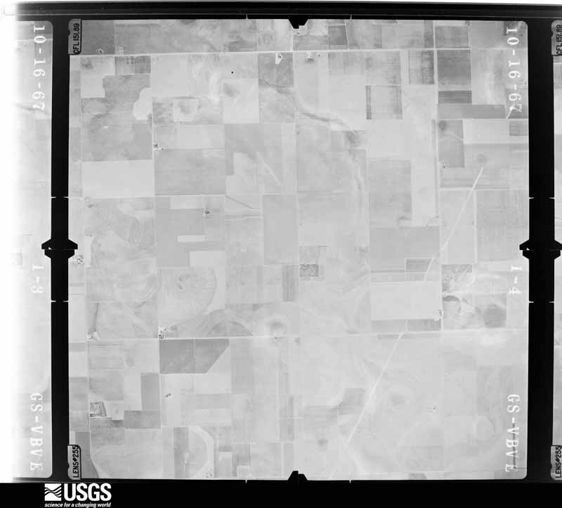
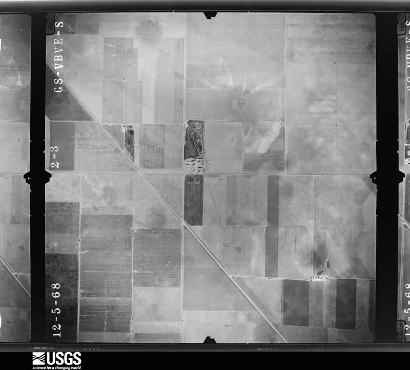
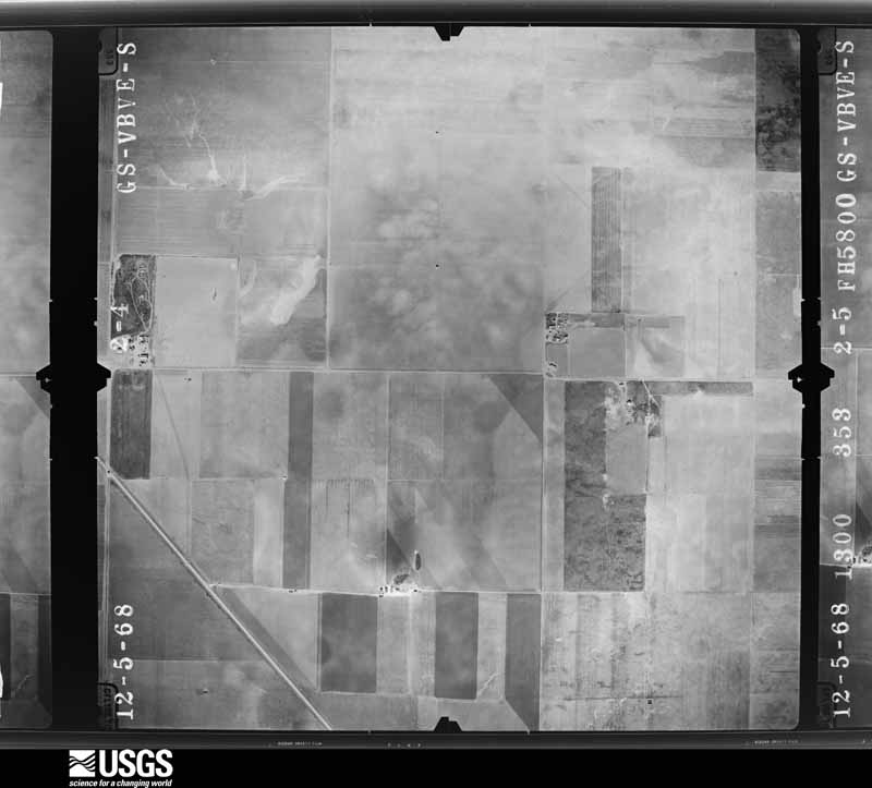
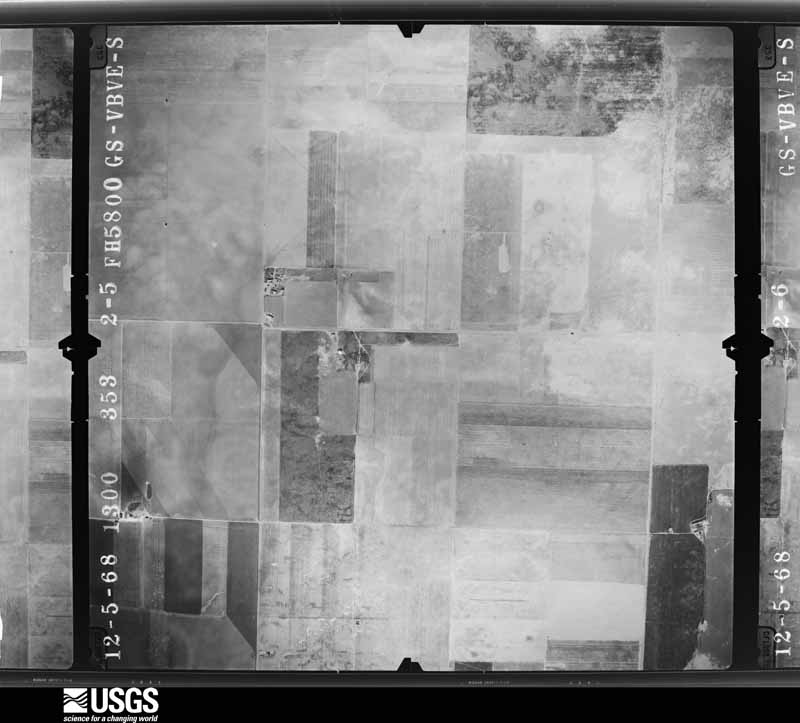
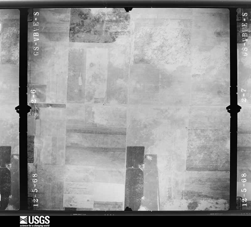
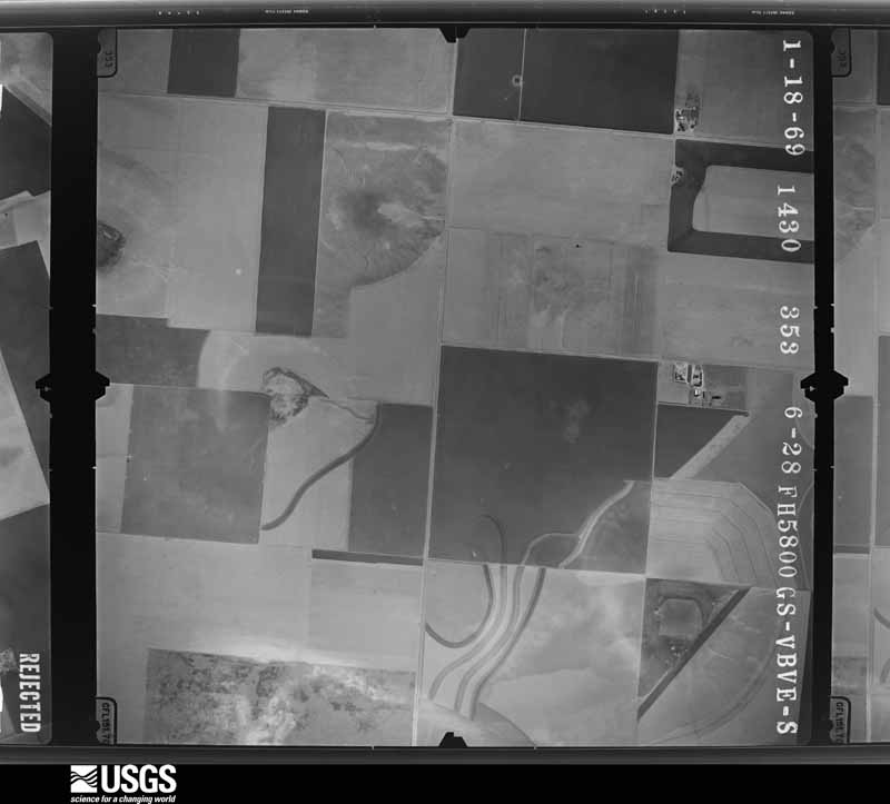
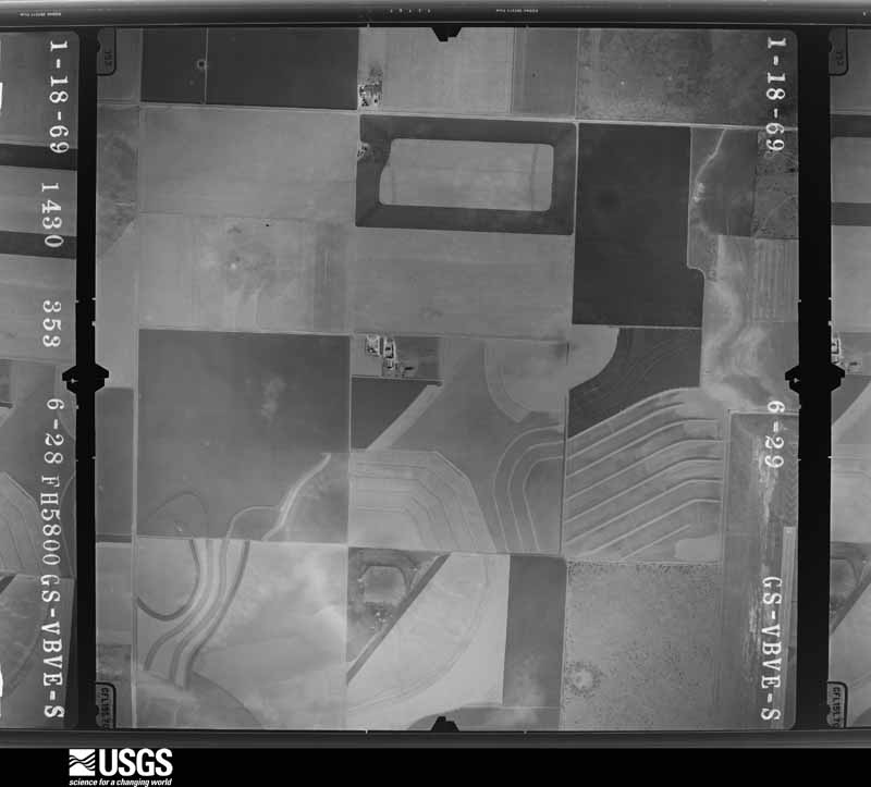
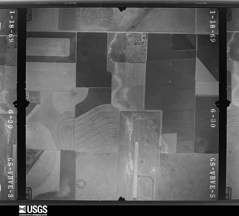
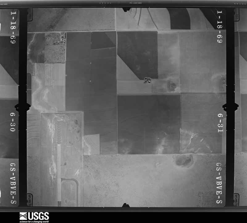
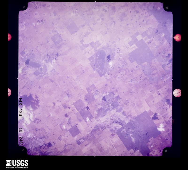
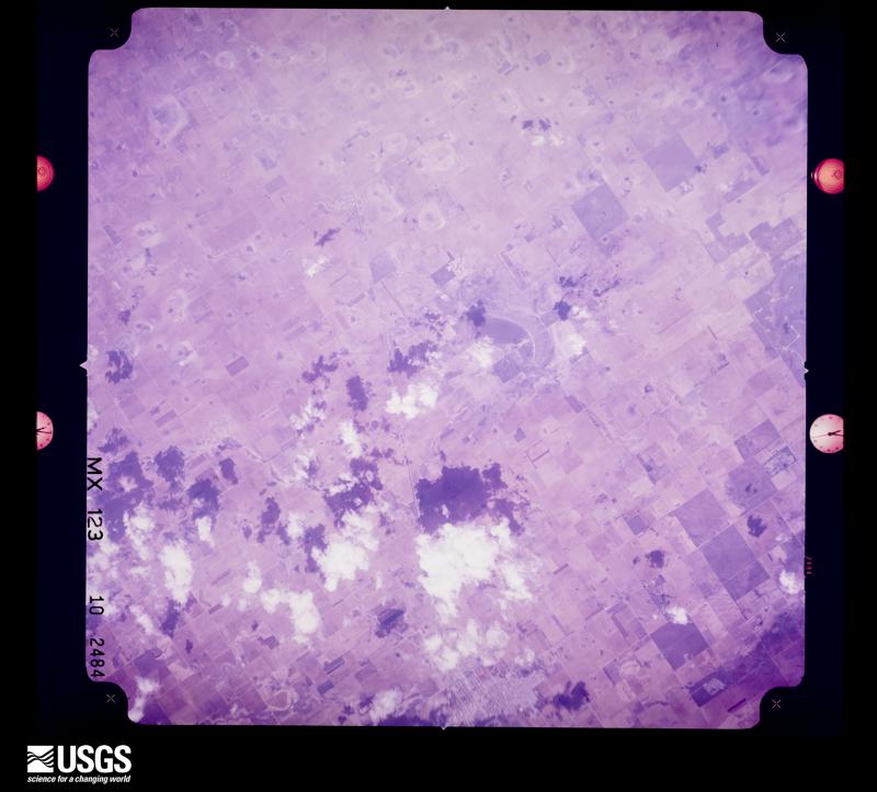
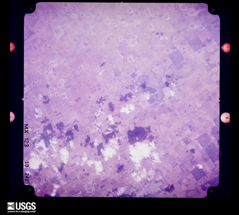
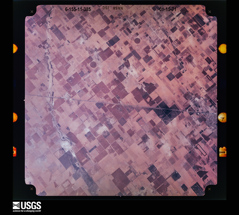
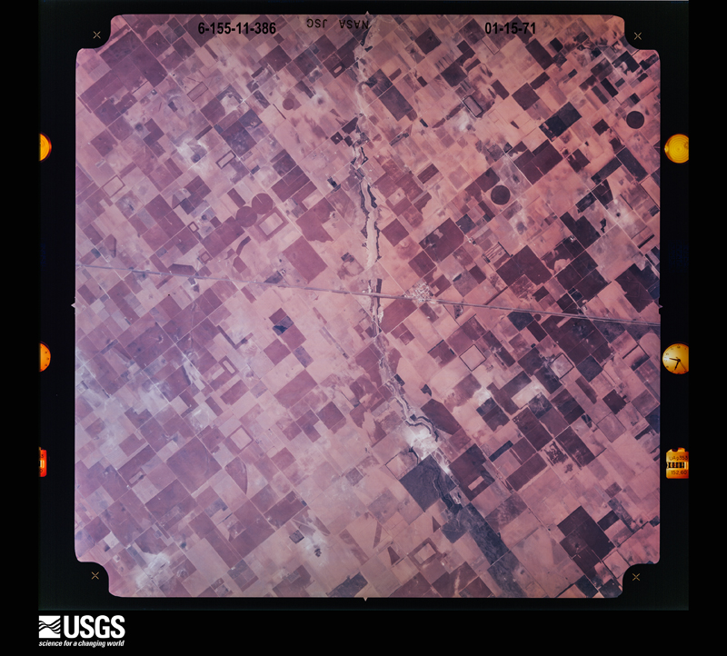
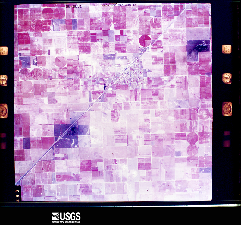
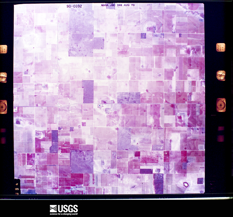
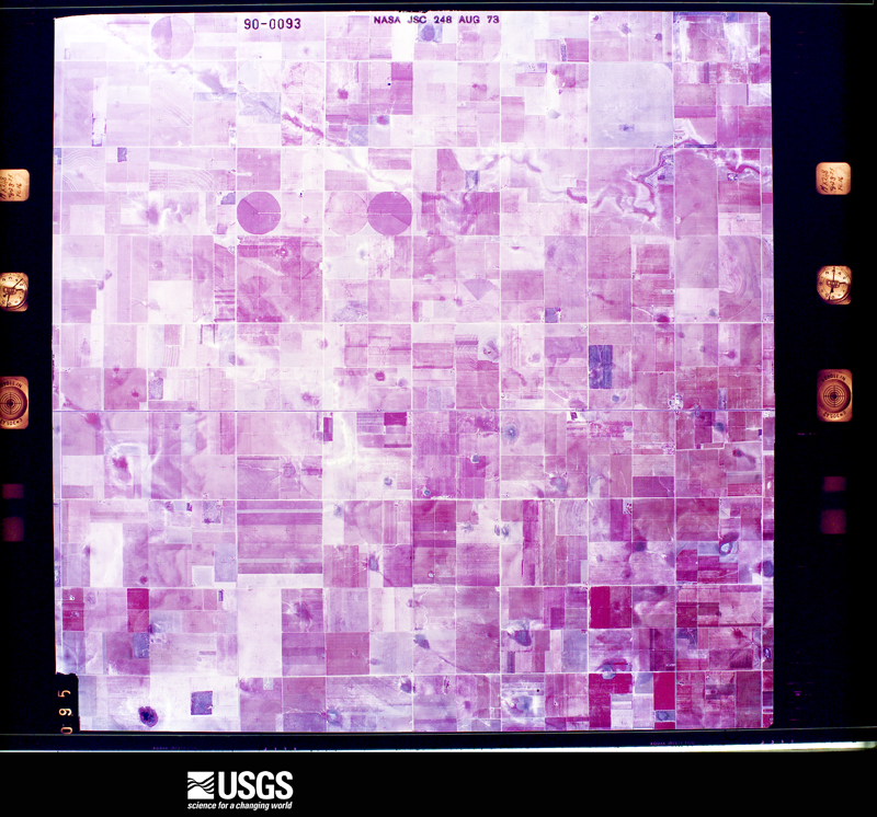
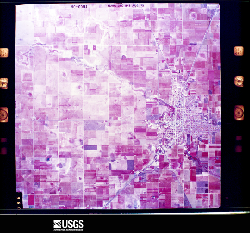
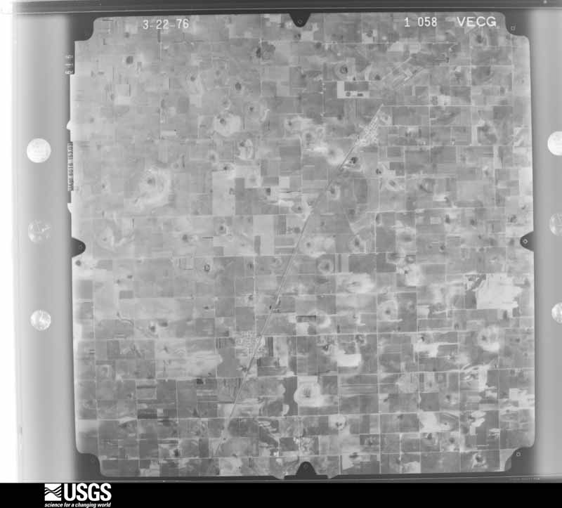
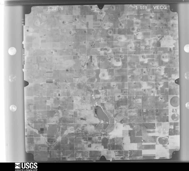
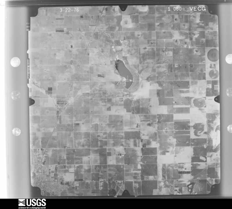
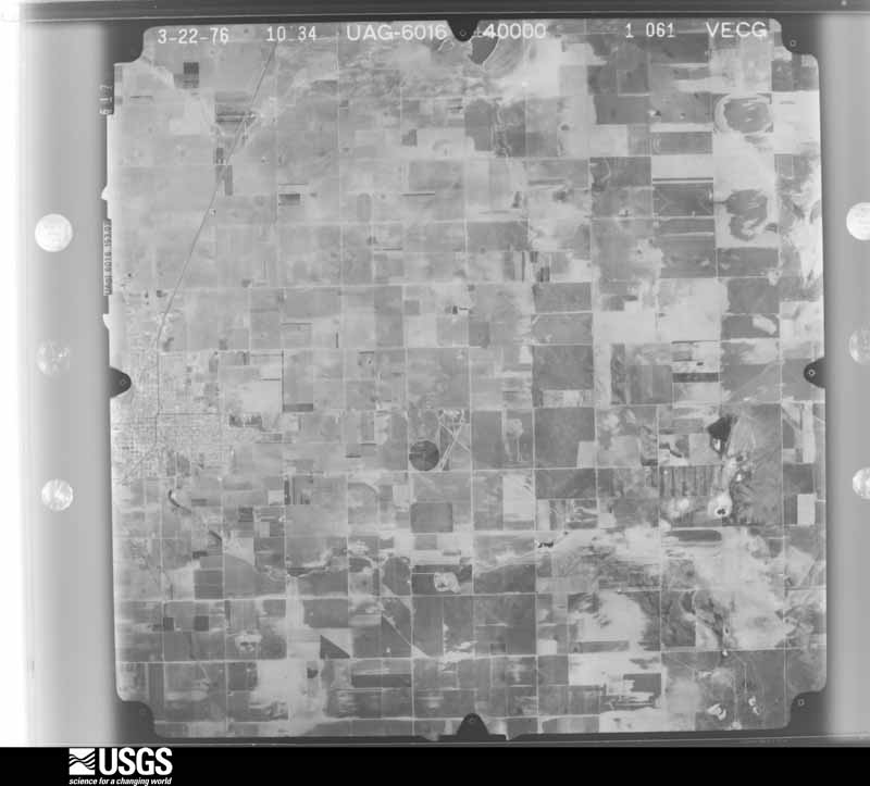
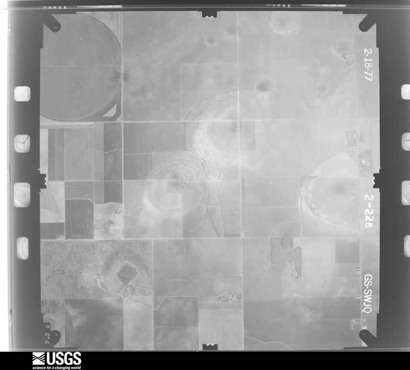
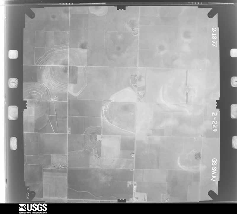
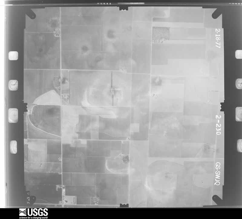
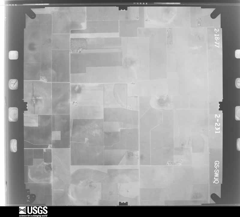
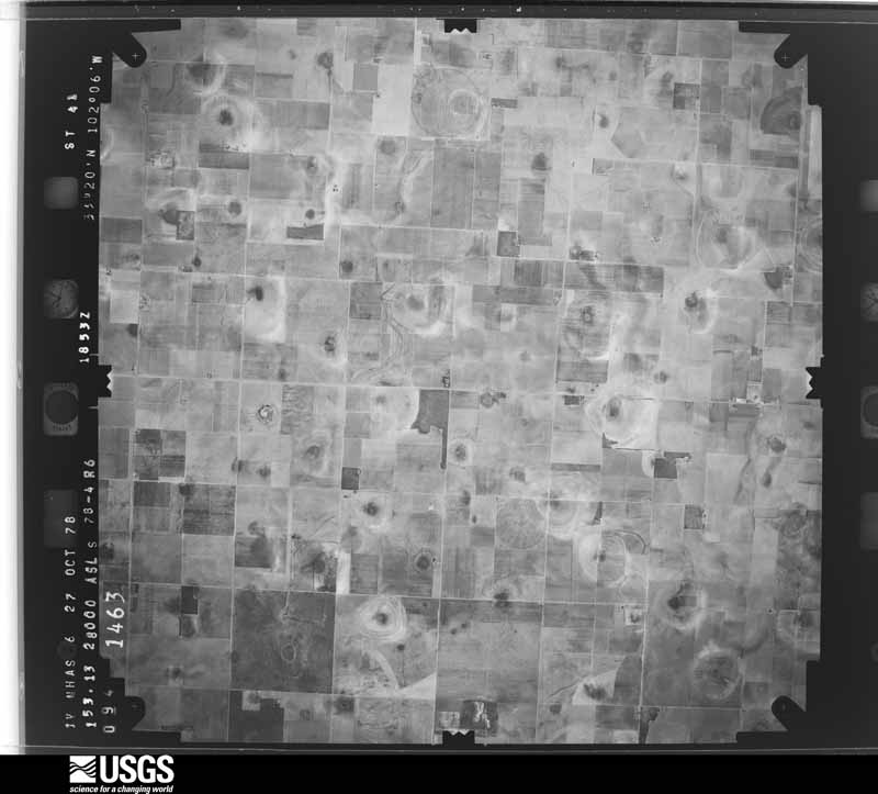
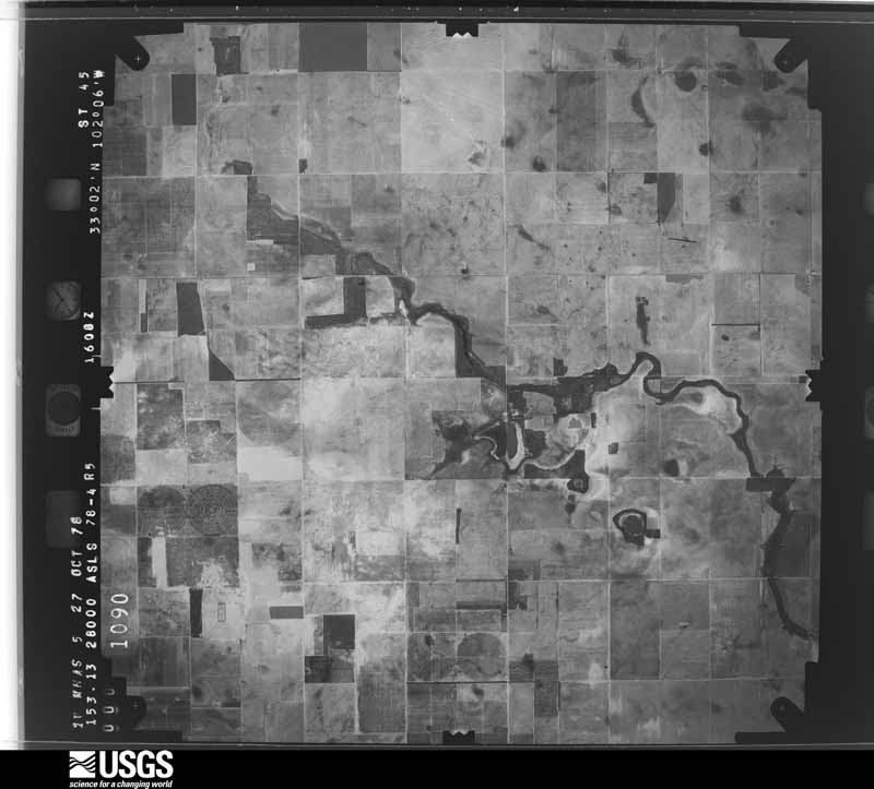
48 shownFlown by the U.S. Geological Survey between 1937 and 1989, the Aerial Photo Single Frames collection is the definitive mid-century view of the land: fields, roads and rivers as the camera saw them. The Survey holds 1,683 frames inside the rectangle that bounds this county; the 48 frames below were taken over the county itself, chosen across the decades of flights (at most four a year from that rectangle), so one flight cannot crowd out the rest. The full set is free to browse and download at EarthExplorer under the dataset Aerial Photo Single Frames.









Weather records
3 stationsThe thermometers that kept this county's weather, as the federal records hold them. The extremes below are measured values from those records, not estimates.
- BROWNFIELD 1914 to 1954, hottest 41.7 C, coldest -21.7 C
- BROWNFIELD 1953 to 2026, hottest 43.9 C, coldest -22.2 C
- MEADOW 0.1 WSW 2011 to 2015
The 1950 census, district by district
20 districtsWho lived here in 1950, one enumeration district at a time, as the Census Bureau described each district. Each row opens its official National Archives result, with Population Schedules and ED Maps available there.
- 223-1Justice Precinct 1: Brownfield town: Brownfield town - That part Bounded by Town limits; Town limits; Tahoka Rd., D, Main; 1st, Lubbock Rd.
- 223-2Justice Precinct 1: Brownfield town - That part Bounded by Town limits; Lubbock Rd.; Ripley, 5th, Hill; Panhandle and Santa Fe Railway, Town limits
- 223-3Justice Precinct 1: Brownfield town - That part Bounded by Town limits; Panhandle & Santa Fe Railroad, Hill, 12th; Town limits; Town limits
- 223-4Justice Precinct 1: Brownfield town - That part Bounded by Hill; 5th, Seagraves Rd., Town limits; Town limits; 12th
- 223-5Justice Precinct 1: Brownfield town - That part Bounded by Ripley; Lubbock Rd., 1st; Seagraves Rd.; 5th
- 223-6Justice Precinct 1: Brownfield town - That part Bounded by Main; B, Town limits; Town limits; Seagraves Rd., 1st
- 223-7Justice Precinct 1: Brownfield tow - That part Bounded by Main; D, Town limits; Town limits; B
- 223-8Justice Precinct 1: Brownfield town - That part Bounded by Tahoka Rd., Town limits; Town limits; Town limits; D
- 223-9Justice Precinct 1 - That part west of Sulphur Draw, and north of U. S. Highway 380
- 223-10Justice Precinct 1 - That part east of Sulphur Draw and west of U. S. Highway 68, outside Brownfield town
- 223-11Justice Precinct 1 - That part east of U. S. Highway 68, and northwest of Lost Draw, outside Brownfield town
- 223-12Justice Precinct 1 - That part southwest of Lost Draw and east of State Highway 137, outside Brownfield town
- 223-13Justice Precinct 1 - That part west of State Highway 137 and southeast of State Highway 51
- 223-14Justice Precinct 1 - That part south of U. S. Highway 380 and northwest of State Highway 51, outside Brownfield town
- 223-15Justice Precinct 2: Meadow town
- 223-16Justice Precinct 2 - That part west of U. S. Highway 62, outside Meadow town
- 223-17AJustice Precinct 2 - That part north of Unnamed rd. extending west from Lynn County line to U.S. Highway 62 and east of U.S. Highway 62
- 223-17BJustice Precinct 2 - That part south of Unnamed rd. extending east from U.S. Highway 62 to Lynn County line and east of U.S. Highway 62, outside Meadow town
- 223-18Justice Precinct 4: Justice Precinct 4 - That part northwest of State Highway 51
- 223-19Justice Precinct 4 - That part southeast of State Highway 51
Wildfire, 2005 to 2017
155 firesEvery wildfire the federal occurrence database records inside this county: 155 of them, burning about 32,622 acres. 21 started naturally and 4 were recorded as arson. Each settlement page carries the fires within five miles of it.
| Reported cause | Fires |
|---|---|
| Missing data/not specified/undetermined | 45 |
| Smoking | 35 |
| Natural | 21 |
| Debris and open burning | 19 |
| Equipment and vehicle use | 10 |
| Power generation/transmission/distribution | 8 |
| Misuse of fire by a minor | 6 |
| Railroad operations and maintenance | 4 |
| Arson/incendiarism | 4 |
| Recreation and ceremony | 3 |
The five largest, by the area the report gives. None of them was recorded as arson.
| Date | Cause | Size | Reported by | Name on the report |
|---|---|---|---|---|
| 9 April 2011 | Power generation/transmission/distribution | 15,000 acres | Texas A & M Forest Service | PRENTASS FIELD #1 |
| 11 May 2011 | Smoking | 5,000 acres | Texas A & M Forest Service | SALT PLANT |
| 25 April 2011 | Power generation/transmission/distribution | 4,000 acres | Texas A & M Forest Service | SPADE RANCH FIRE |
| 10 January 2006 | Missing data/not specified/undetermined | 500 acres | Texas A & M Forest Service | not named |
| 25 July 2006 | Natural | 500 acres | Texas A & M Forest Service | not named |
| 2 April 2006 | Missing data/not specified/undetermined | 500 acres | Texas A & M Forest Service | not named |
| 28 January 2011 | Equipment and vehicle use | 500 acres | Texas A & M Forest Service | CR 121 |
| 20 September 2011 | Natural | 500 acres | Texas A & M Forest Service | GRASS FIRE |
Every settlement page carries the fires within five miles of it - see the settlement index below.
Storms, 1955 to 2025
60 of 341 shownThe NOAA Storm Events Database holds 341 reports for this county, causing no deaths, no injuries and about $3,629,090 in recorded property damage. Each settlement page carries the reports that name it.
| Kind of event | Reports |
|---|---|
| Hail | 202 |
| Thunderstorm Wind | 77 |
| Tornado | 36 |
| Flash Flood | 11 |
| Flood | 8 |
| Heavy Rain | 3 |
| Funnel Cloud | 3 |
| Lightning | 1 |
The most serious of them, by death, then injury, then recorded damage. The accounts are quoted exactly as the forecast office filed them.
| When | Event | Place named | Harm | What the report says |
|---|---|---|---|---|
| July 2010 | Flash Flood | Brownfield | $500,000 | Prolonged and heavy rainfall began to result in flash flooding over portions of Terry County during the late evening of the 3rd. ||Local emergency management officials initially reported that all roads leading to The Draw area in Brownfield were inundated with high running water by 20:41 CST. Also, at that time, two RV-campers were threatened by rapidly rising water in the Brownfield City Park. In addition, Webb Street also became inundated by flowing flood water east of town. Local authorities also reported that playa lakes in the Brownfield vicinity began to exceed capacity by 21:00 CST.||At 21:55 CST, first responders rescued a motorist as their vehicle was being washed away on U.S. Highway 62 southwest of Brownfield. Unspecified reports of a family rescued from raging flood waters additionally was received at that time, possibly along Texas Highway 137 southeast of Brownfield. ||Between 22:45 CST and 22:50 CST several reports of stranded motorists were received across southern and eastern Terry County, including along Farm to Market Road 2196 between Brownfield and Ropesville. Several of these motorists were reportedly taking refuge atop their vehicles. Damages to county roads and rural highways from flowing water was reported to be significant, totaling at least $300,000 in repair costs.||During the early morning hours of the 4th, additional heavy rainfall with Doppler radar estimated amounts approaching 14 inches, fell over the confluence of Sulphur and Lost Draws approximately five miles northwest of Brownfield. This water ran downstream and resulted in significant flash flooding in Brownfield during the hours around sunrise. Flood waters flowing through Brownfield during the early morning hours of Independence Day resulted in at least three flooded vehicles, damaged two homes, and caused at least $10,000 in damages to city streets.||Despite the number of high water rescues and widespread damages, no significant injuries were reported. Total infrastructure and agricultural losses from the Fourth of July flash floods and floods across Terry County, however, were estimated at $750,000. For the purposes of this report, these damages were differientiated between flash flood and flood as $500,000 and $250,000 respectively. |
| May 2006 | Tornado (F0) | Brownfield | $500,000 | Storm chasers and Skywarn storm spotters observed a third tornado northwest of Brownfield as an occluding mesocyclone produced intermittent tornadoes for more than fifteen minutes. This tornado remained on the ground for at least seven minutes, and tracked across open farmland. Two center-pivot irrigation units were destroyed, however, resulting in $500,000 in property damage. |
| June 2007 | Thunderstorm Wind | Brownfield | $250,000 | A swath of severe winds accompanied a bowing line-shaped convective complex as it moved southward over portions of Yoakum and Terry Counties during the late evening hours of the 26th. Severe winds impacted areas near Brownfield around 21:20 CST. A 62 mph gust was measured by the Texas Tech University West Texas Mesonet site just south of the city. In addition, the public estimated gusts up to 60 mph in the city. Newspaper articles reported that up to one hundred utility poles were downed during the storm, and that electrical services were knocked out to most of the city through the late evening hours. In addition, many trees suffered damage. No significant structural damage was reported. |
| August 2015 | Thunderstorm Wind | Tokio | $200,000 | Xcel Energy reported eleven 69 kV transmission poles toppled from the intersection of US Highway 380 and Farm-to-Market Road 1780 south for about two miles. Lyntegar Electric CO-OP reported one distribution pole was down just south of this swath. |
| June 2009 | Thunderstorm Wind | Wellman | $200,000 | A cluster of severe storms produced a swath of damaging winds along the U.S. Highway 62/385 corridor from near Wellman to Brownfield around 18:00 CST. Initial reports of damages were received from the Wellman vicinity, where the roof was blown off of an agricultural station shortly before 18:00 CST. As the winds spread northeastward, the Texas Tech University West Texas Mesonet site south of Brownfield measured a peak gust of 82 mph. The roof was partially blown off of a medical clinic in downtown Brownfield, and a large metal storage facility collapsed in the winds just east of the city. No injuries were reported. |
| July 2009 | Thunderstorm Wind | Needmore | $200,000 | Thunderstorm winds resulted in a swath of damage from the Needmore and Meadow areas of northern Terry County southward to near Brownfield. Several buildings at the Needmore Gin sustained heavy roof damage, and the steeple was blown off of a church in Meadow. At least six utility poles also were reportedly blown down by the winds. A 60 mph thunderstorm wind gust was measured by the Texas Tech University West Texas Mesonet site near Brownfield at 22:30 CST, where a large oak tree was reportedly split. No injuries were reported. |
| July 2006 | Thunderstorm Wind | Brownfield | $175,000 | Thunderstorms produced damaging winds near Union in southeastern Terry County during the early evening hours of the 10th. Severe gusts estimated up to at least 65 mph ripped the roof off of the Union School gymnasium, and scattered debris more than 125 yards downwind. Several irrigation pivot systems were overturned. A cotton module builder damaged heavy farm equipment when it was rolled over by the winds. A trailer house located at the intersection of Texas Highways 213 and 137 suffered severe roof damage. Damage estimates were $175,000. No injuries were reported. |
| June 2004 | Hail | Meadow | $150,000 | Brownfield PD reported golfball size hail. Automobiles were damaged by the hail and windows were broken in several homes. An estimated 3500 acres of cotton were destroyed. |
| September 2014 | Flood | Brownfield | $100,000 | The Brownfield Sheriff's office reported water over roadways throughout town, as well as along portions of Highways 137 and 380 south and east of town on the 20th. Widespread rainfall amounts of two to four inches were observed with locally higher amounts. Several cars stalled out due to the high water. |
| May 2006 | Thunderstorm Wind | Wellman | $100,000 | A swath of damaging thunderstorm winds affected portions of southern Terry County shortly after 19:00 CST. Three mobile homes were severely damaged east of Wellman. the homes sustained significant roof damage, with the roof completely removed from one structure. Several utility poles were additionally downed by the winds from just east of Wellman to ten miles east of Wellman. |
| October 2003 | Hail | Brownfield | $100,000 | The Brownfield PD reported golfball size hail in town. The hail damaged roofs and automobiles. |
| May 2001 | Hail | Meadow | $100,000 | Tennis ball size hail damaged vehicles. |
| June 2007 | Hail | Meadow | $75,000 | Local officials reported that very large hail, possibly accompanied by severe winds, caused damage in the Meadow vicinity. Hail up to the size of softballs reportedly shattered numerous windows at a school in Meadow. |
| September 2010 | Thunderstorm Wind | Brownfield | $50,000 | Skywarn spotters reported that thunderstorm winds downed large branches. A dead tree reportedly was downed onto the roof of a home. In addition, a tin roof was partially removed from a business. The Texas Tech University West Texas Mesonet site south of town measured a peak wind gust of 59 mph. |
| May 2001 | Hail | Wellman | $50,000 | Golfball size hail broke the skylights out of a house. Hail was reported to be nine inches deep on the ground. |
| May 2001 | Hail | Wellman | $50,000 | Golfball size hail was reported in town by the Wellman PD. |
| June 1999 | Thunderstorm Wind | Brownfield | $50,000 | Strong thunderstorm wind blew down trees and 20 power poles. Roofs and sheds were also damaged by the wind. |
| June 1994 | Thunderstorm Wind | Brownfield | $50,000 | The public reported up to quarter-size hail in Spade in southeast Lamb County The Hockley County Sheriff's Office estimated 65 MPH winds In Levelland at 0000 CST, and also reported one barn was damaged by the wind. The Department of Public Safety reported a carport was damaged in Shallowater by high winds. Severe thunderstorm winds swept through Lubbock, downing many branches, some trees and many fences. It also destroyed at least three metal sheds, damaged a carport, and damaged part of the roof of a large retail store. South of the city of Lubbock, one mobile home was destroyed and a few trees were downed. In Brownfield, the Terry County Sheriff's Office estimated 60 MPH winds and reported some trees uprooted, one of which blocked a road in Brownfield. They also reported that one carport was heavily damaged. |
| May 2000 | Hail | Wellman | $50,000 | no account filed |
| December 1993 | Thunderstorm Wind | Brownfield | $50,000 | no account filed |
| June 2004 | Thunderstorm Wind | Meadow | $40,000 | Strong thunderstorm wind destroyed a center pivot irrigation system. |
| May 2001 | Hail | Wellman | $35,000 | no account filed |
| May 2006 | Hail | Meadow | $30,000 | Rural residents and agricultural extension agents reported that a combination of large hail and severe winds caused significant damage to at least one farmstead. The residence suffered roof damage, a vehicle was heavily damaged, and up to 2,000 acres of cotton seedlings were destroyed. |
| April 2001 | Hail | Meadow | $30,000 | Golfball size hail was reported in town by law enforcement officials. |
| May 2001 | Hail | Meadow | $30,000 | Law enforcement officials reported golfball size hail. |
| May 2001 | Hail | Meadow | $30,000 | Law enforcement officials reported golfball size hail. |
| May 2007 | Thunderstorm Wind | Tokio | $25,000 | Law enforcement officials reported that thunderstorm winds downed several utility poles in Tokio. |
| July 2006 | Thunderstorm Wind | Brownfield | $25,000 | An isolated severe thunderstorm produced damaging winds near Brownfield during the evening of the 31st. A downburst resulted in 65 mph winds as measured by the Texas Tech University West Texas Mesonet site near the city. At least three utility poles were snapped by the winds, and two circuits were damaged. Electrical service was knocked out to more than 125 customers through 03:00 CST on August 1st. A number of elderly residents were impacted by the power outage, and emergency officials provided generators to several who required oxygen breathing machines. |
| April 2002 | Hail | Wellman | $25,000 | The Terry County Sheriff's Office reported golfball size hail. |
| October 2002 | Hail | Brownfield | $25,000 | Golfball size hail damaged roofs and automobiles. |
| June 1981 | Tornado (F2) | not stated | $25,000 | no account filed |
| March 1958 | Tornado (F1) | not stated | $25,000 | no account filed |
| March 2007 | Flash Flood | Brownfield | $20,000 | Local law enforcement officials reported that most city streets in Brownfield were inundated with flood waters after 18:30 CST. Three vehicles became stranded in high water and the occupants were rescued. No injuries were reported. Additionally, high water flowed over portions of U.S. Highway 380 east of Brownfield to the Lynn County line by 19:30 CST. |
| May 2015 | Flood | Wellman | $20,000 | no account filed |
| May 2000 | Hail | Johnson | $20,000 | no account filed |
| June 1995 | Tornado (F0) | Brownfield | $20,000 | no account filed |
| June 2008 | Thunderstorm Wind | Brownfield | $15,000 | Emergency management officials reported that damaging thunderstorm winds blew down several utility poles along U.S. Highway 380 west of Brownfield. |
| May 2003 | Thunderstorm Wind | Brownfield | $15,000 | Strong thunderstorm wind blew down at least eight power poles. |
| April 2001 | Hail | Meadow | $15,000 | Golfball size hail was reported by law enforcement officials on Highway 385 north of Needmore. |
| July 2011 | Lightning | Meadow | $15,000 | no account filed |
| May 1998 | Hail | Brownfield | $15,000 | no account filed |
| June 1997 | Thunderstorm Wind | Brownfield Arpt | $15,000 | no account filed |
| October 2010 | Hail | Tokio | $10,000 | A long-lived supercell thunderstorm produced a swath of destructive hail across much of western and northern Terry County between 15:05 CST and 16:10 CST. The public initially reported large hail that ranged in size from quarters to golfballs in Tokio at 15:05 CST. Very large hail stones were subsequently reported by storm chasers and law enforcement in the immediate Tokio area. Hailfall and its parent storm continued to move northeastward during the next hour, resulting in extensive damage to approximately 40,000 acres of mature cotton crops. By 16:05 CST quarter size hail was reported in Meadow, where hailstones increased to the size of golfballs by 16:10 CST. A Texas Department of Public Safety cruiser was severely damaged by the hail along U.S. Highway 62/82 near Meadow. No injuries were reported. |
| May 2008 | Thunderstorm Wind | Brownfield | $10,000 | Local newspaper accounts indicate that damaging thunderstorm winds broke at least one utility pole in Brownfield. A combination of thunderstorm winds and lightning contributed to lost electrical service for a sizable section of the city. |
| April 2001 | Hail | Union | $10,000 | Golfball size hail was reported by law enforcement officials. |
| April 2015 | Flood | Tokio | $10,000 | no account filed |
| March 2000 | Hail | Needmore | $10,000 | no account filed |
| June 1997 | Thunderstorm Wind | Brownfield | $10,000 | no account filed |
| May 1995 | Thunderstorm Wind | Brownfield | $10,000 | no account filed |
| January 2017 | Thunderstorm Wind | Brownfield | $8,000 | Law enforcement reported downed power lines on some streets in Brownfield. |
| June 2010 | Thunderstorm Wind | Brownfield | $5,000 | A complex of thunderstorms produced 50 mph to 60 mph wind gusts over portions of Terry County between 18:05 CST and 18:20 CST on the 1st. The winds downed a large tree which fell onto the roof of a home southwest of Brownfield. Damage to to the structure was minor. A nearby Texas Tech University West Texas Mesonet site recorded a 51 mph gust at 18:15 CST. |
| May 2006 | Hail | Meadow | $5,000 | After observing tornadoes northern Terry County, several spotters encountered giant baseball size hail along rural roadways west of Meadow. Minor damage to storm chase vehicles was reported. |
| June 2003 | Thunderstorm Wind | Wellman | $5,000 | Thunderstorm wind gusts of 60 to 70 mph were estimated at the cotton gin. Power lines and large tree limbs were blown down. |
| May 1997 | Thunderstorm Wind | Brownfield | $5,000 | no account filed |
| June 1964 | Tornado (F1) | not stated | $2,500 | no account filed |
| May 1961 | Tornado (F2) | not stated | $2,500 | no account filed |
| April 1957 | Tornado (F1) | not stated | $2,500 | no account filed |
| April 2003 | Thunderstorm Wind | Brownfield | $2,000 | Strong thunderstorm wind snapped a power pole on Highway 62/82. |
| May 2000 | Thunderstorm Wind | Brownfield | $2,000 | A tree was blown onto two cars, resulting in minor damage to both of them. |
| May 1998 | Thunderstorm Wind | Union | $2,000 | no account filed |
Mines and quarries
1 recordedThe Survey's mineral resources record lists 1 working inside this county. It still produces. Each settlement page carries the workings within five miles of it.
| Commodity | Workings |
|---|---|
| Sodium | 1 |
The least common of them first, because a county's hundredth gravel pit says nothing its first ten did not.
| Where | Site | Commodity | Status | Recorded |
|---|---|---|---|---|
| Brownfield Plant | Sodium | Producer |
Every populated place in the county
11Named settlements recorded in the Geographic Names Information System, each with the topographic sheets covering it. Villages, hamlets and abandoned places alike. Each is shown with the nearest named watercourse or landform and the survey quadrangle it falls on.
Provenance
- Topographic sheets. USGS Historical Topographic Map Collection, county index, measured from the bulk metadata.
- Fire insurance maps. Library of Congress Sanborn collection, faceted to this county.
- Photographs. Each place queried individually against the Library of Congress Prints and Photographs search.
- Wildfire. Short, Karen C. 2022. Spatial wildfire occurrence data for the United States, 1992-2020 [FPA_FOD_20221014]. 6th Edition. Fort Collins, CO: Forest Service Research Data Archive. https://doi.org/10.2737/RDS-2013-0009.6 Collected with United States Government funding and usable without additional permissions or fees.
- Mines and quarries. USGS Mineral Resources Data System (MRDS) https://mrdata.usgs.gov/mrds/ A work of the United States government, no copyright under 17 U.S.C. 105.
- Storms. NOAA National Centers for Environmental Information, Storm Events Database https://www.ncei.noaa.gov/stormevents/ A work of the United States government, no copyright under 17 U.S.C. 105. Narratives are quoted verbatim from the National Weather Service report and are not edited or summarised.