 Block
BlockMeadow, Texas
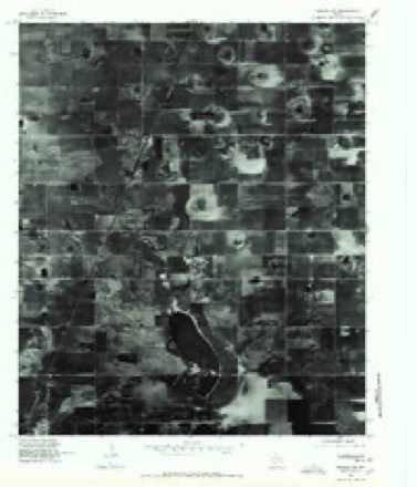
9 topographic sheets cover this place, the earliest surveyed in 1954 and the latest in 1985. It stands in the Meadow census division. It lies in ZIP code area 79345. The Survey maps it on the Meadow quadrangle. 601 people lived here at the 2020 count. It stands 3,333 feet above sea level.
Population over time
3 figuresMeadow fell from 658 to 601 between 2000 and 2020. These are the recorded population figures Wikidata holds for this place, reached through the Geographic Names Information System number this page is keyed on rather than by name, so they belong to this place and not to another of the same name. Most are census counts, but not all are: an early figure may be a founding or settlement estimate, and an estimate published within five years of a census is left out. The change column is computed, and is left blank where more than 20 years separate a figure from the one before it, because a gap that long is not a change between two counts.
| Year | People | Change |
|---|---|---|
| 2000 | 658 | |
| 2010 | 593 | -65 (-10%) |
| 2020 | 601 | +8 (+1%) |
Topographic sheets covering this place
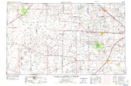
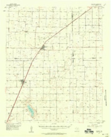
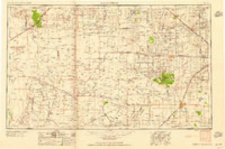
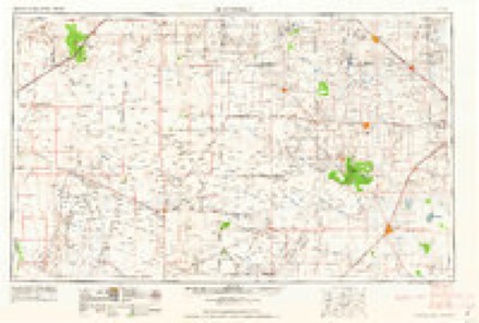
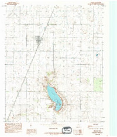
7 surveys from 9 printed sheetsMatched by testing this settlement's coordinate against the published boundary of every sheet in the United States Geological Survey's historical collection. Each opens the scanned sheet at the Survey.
- 1954 USGS Brownfield quadrangle1:250000, 2 printings
- 1957 USGS Meadow quadrangle1:62500
- 1958 USGS Brownfield quadrangle1:250000
- 1962 USGS Brownfield quadrangle1:250000
- 1976 USGS Meadow SW quadrangle1:24000
- 1985 USGS Brownfield quadrangle1:100000, 2 printings
- 1985 USGS Meadow quadrangle1:24000
Fires near this place
14 since 2006Regional context, not property-specific evidence. The federal wildfire occurrence database lists 14 fires within 5 miles of Meadow between 2006 and 2016, burning about 374 acres in total. 4 started naturally. None was recorded as arson. Distance is straight-line from the map coordinates, so a fire counted here may appear on a neighbouring settlement's page as well.
| Reported cause | Fires |
|---|---|
| Natural | 4 |
| Debris and open burning | 4 |
| Missing data/not specified/undetermined | 3 |
| Smoking | 3 |
The most recent of them, most recent first, with the day each was reported and the service that recorded it.
| Date | Cause | Size | Reported by | Name on the report |
|---|---|---|---|---|
| 31 August 2011 | Smoking | under an acre | Texas A & M Forest Service | GRASS FIRE |
| 25 July 2011 | Missing data/not specified/undetermined | under an acre | Texas A & M Forest Service | GRASS FIRE |
| 5 June 2006 | Debris and open burning | 50 acres | Texas A & M Forest Service | not named |
| 30 June 2011 | Smoking | 30 acres | Texas A & M Forest Service | 2 MILES SOUTH OF ROPES |
| 20 June 2016 | Natural | 15 acres | Texas A & M Forest Service | GRASS FIRE 211 |
| 2 June 2011 | Missing data/not specified/undetermined | under an acre | Texas A & M Forest Service | CHURCH OF CHRIST |
| 12 June 2011 | Missing data/not specified/undetermined | 10 acres | Texas A & M Forest Service | RICH LAKE REKINDLE #3 |
| 12 June 2011 | Natural | 100 acres | Texas A & M Forest Service | RICH LAKE (3) |
Storms near this place
43 since 1994Regional context, not property-specific evidence. The National Weather Service names Meadow in 43 storm reports between 1994 and 2024: 32 hail, 4 thunderstorm wind, 3 tornado, 2 funnel cloud. No death or injury is recorded in these reports. Each account below is quoted exactly as the forecast office filed it, from the NOAA Storm Events Database, and each date opens the federal record of that event.
| When | Event | Place named | Harm | What the report says |
|---|---|---|---|---|
| June 2004 | Hail | Meadow | $150,000 | Brownfield PD reported golfball size hail. Automobiles were damaged by the hail and windows were broken in several homes. An estimated 3500 acres of cotton were destroyed. |
| May 2001 | Hail | Meadow | $100,000 | Tennis ball size hail damaged vehicles. |
| June 2007 | Hail | Meadow | $75,000 | Local officials reported that very large hail, possibly accompanied by severe winds, caused damage in the Meadow vicinity. Hail up to the size of softballs reportedly shattered numerous windows at a school in Meadow. |
| June 2004 | Thunderstorm Wind | Meadow | $40,000 | Strong thunderstorm wind destroyed a center pivot irrigation system. |
| May 2006 | Hail | Meadow | $30,000 | Rural residents and agricultural extension agents reported that a combination of large hail and severe winds caused significant damage to at least one farmstead. The residence suffered roof damage, a vehicle was heavily damaged, and up to 2,000 acres of cotton seedlings were destroyed. |
| April 2001 | Hail | Meadow | $30,000 | Golfball size hail was reported in town by law enforcement officials. |
| May 2001 | Hail | Meadow | $30,000 | Law enforcement officials reported golfball size hail. |
| May 2001 | Hail | Meadow | $30,000 | Law enforcement officials reported golfball size hail. |
| April 2001 | Hail | Meadow | $15,000 | Golfball size hail was reported by law enforcement officials on Highway 385 north of Needmore. |
| July 2011 | Lightning | Meadow | $15,000 | no account filed |
| May 2006 | Hail | Meadow | $5,000 | After observing tornadoes northern Terry County, several spotters encountered giant baseball size hail along rural roadways west of Meadow. Minor damage to storm chase vehicles was reported. |
| June 2024 | Hail | Meadow | - | A trained spotter reported quarter size hail on the ground west of Meadow after a storm had passed through the area. |
| May 2024 | Hail | Meadow | - | Several storm chasers reported a swath of hail east of Meadow ranging in size from golf ball to baseball size. No damage was reported. |
| November 2024 | Hail | Meadow | - | Local broadcast media relayed a report of quarter size hail in Meadow. |
| May 2022 | Thunderstorm Wind | Meadow | - | Law enforcement in Terry County reported a roof was blown off a house and a basketball backboard ripped out of a concrete pad west of Meadow. A short time earlier, a Texas Tech University West Texas mesonet site near Sundown measured a wind gust to 78 mph. |
| May 2019 | Hail | Meadow | - | Reports relayed by local broadcast media and on social media showed hail up to two inches in diameter. No damage was reported. |
| June 2016 | Tornado (EFU) | Meadow | - | Late this morning, a motorist traveling northeast on US Highway 62 photographed a short-lived tornado to their west over open land. Radar features indicated the possibility of a tornadic storm in the area at this time which added credibility to the photo. The time and location are estimated from radar. |
| June 2015 | Funnel Cloud | Meadow | - | Two NWS employees observed a tapered funnel cloud one-third of the way to the ground for about 20 seconds. This funnel developed just as a low-level mesocyclone tightened before becoming undercut by strong outflow from a left-moving supercell to its south. |
| May 2012 | Funnel Cloud | Meadow | - | The Brownfield Emergency Manager relayed a report of a funnel cloud near Meadow. |
| October 2010 | Heavy Rain | Meadow | - | Heavy rainfall and hail resulted in minor street flooding in Meadow. Water ponded curb-to-curb in several streets and resulted in brief lane closures. No damages were reported. |
| June 2010 | Hail | Meadow | - | The public initially reported ping pong ball size hail in Meadow at 15:30 CST. A National Weather Service employee additionally observed quarter size hail southwest of Meadow at 15:41 CST. |
| June 2009 | Hail | Meadow | - | Storm chasers reported golfball size hail in Meadow at 16:5 CST. No damage was reported. |
| June 2009 | Hail | Meadow | - | The Terry County emergency manager reported golfball size hail in Meadow. Some farmers reported having to replant cotton due to hail damage. |
| June 2009 | Tornado (EF0) | Meadow | - | An off-duty National Weather Service employee observed a brief landspout tornado in northeastern Terry County around 15:40 CST. The tornado, which persisted for less than one minute, occurred as new convection was developing above pre-existing outflow boundaries. The tornado appeared as a dusty soda straw, with the visible portion of the dust tube extending more than half way to the cloud base. |
| June 2008 | Tornado (EF0) | Meadow | - | The broadcast media relayed photographs of a non-mesocyclonic tornado near U.S. Highway 62/82 north of Meadow. The tornado reportedly remained in open country just south of the Hockley and Terry County line for approximately ten minutes. |
| May 2007 | Hail | Meadow | - | |Farmers in extreme north-central Terry County reported damage to young cotton crops along an east-to-west swath that stretched from just northwest of Needmore Gin to just south of Locketville. |
| June 2007 | Hail | Meadow | - | Local newspapers reported that hail damage to cotton crops was extensive across portions of Terry County. Reports indicated that the most significant damage occurred in fields east of Meadow. Cotton in that area was said to be a total loss, with many farmers having to abandon hopes of a successful cotton crop and forced to plant other crops. |
| June 2007 | Hail | Meadow | - | Local agricultural officials reported that pea to nickel size hail damaged cotton crops along the Terry and Lynn County line between Meadow and New Home. |
| May 2006 | Thunderstorm Wind | Meadow | - | Rural residents and agricultural extension agents reported that a combination of large hail and severe winds caused significant damage to at least one farmstead. Up to 2,000 acres of cotton seedlings were destroyed. |
| April 2001 | Hail | Meadow | - | Amateur radio SKYWARN spotters reported quarter size hail on Highway 62 south of Meadow. |
| May 2001 | Hail | Meadow | - | Law enforcement officials reported baseball size hail. |
| May 2006 | Hail | Meadow | - | no account filed |
| June 2004 | Hail | Meadow | - | no account filed |
| May 2004 | Hail | Meadow | - | no account filed |
| May 2001 | Hail | Meadow | - | no account filed |
| May 2001 | Hail | Meadow | - | no account filed |
| May 1998 | Hail | Meadow | - | no account filed |
| May 1998 | Thunderstorm Wind | Meadow | - | no account filed |
| May 1998 | Hail | Meadow | - | no account filed |
| April 1995 | Hail | Meadow | - | no account filed |
| May 1995 | Hail | Meadow | - | no account filed |
| June 1995 | Hail | Meadow | - | no account filed |
| June 1994 | Hail | Meadow | - | no account filed |
Nearest settlements
The eight closest, with where each one stands in the county. Distances are straight-line, computed from the Geographic Names Information System coordinates.
Elsewhere
Matched on this settlement's Geographic Names Information System number rather than its name, so it cannot be a different place of the same name in another state.
| Wikipedia article on Meadow | An encyclopaedic summary. Its text is share-alike, so it is linked here rather than copied. |
| Wikidata item Q972571 | The structured record the population and elevation above come from. Public domain (CC0). |
Provenance
This settlement is recorded in the Geographic Names Information System as feature 1362550. The sheet list is computed by point-in-boundary test against the United States Geological Survey's historical topographic inventory. Both are works of the United States government and carry no copyright under 17 U.S.C. 105.
Wildfire. Short, Karen C. 2022. Spatial wildfire occurrence data for the United States, 1992-2020 [FPA_FOD_20221014]. 6th Edition. Fort Collins, CO: Forest Service Research Data Archive. https://doi.org/10.2737/RDS-2013-0009.6 Collected with United States Government funding and usable without additional permissions or fees.
Storms. NOAA National Centers for Environmental Information, Storm Events Database https://www.ncei.noaa.gov/stormevents/ A work of the United States government, no copyright under 17 U.S.C. 105. Narratives are quoted verbatim from the National Weather Service report and are not edited or summarised.