Block
BlockFrom the record
73 National Register listings published here, 1 of them a National Historic Landmark.
Sources: the National Register database, National Park Service
59 topographic sheets cover 21 settlements here, and 73 properties are on the National Register of Historic Places.
73 National Register listings published here, 1 of them a National Historic Landmark.
Sources: the National Register database, National Park Service
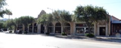
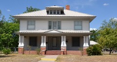
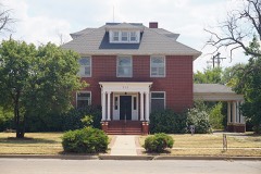
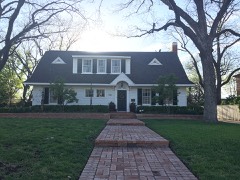
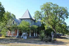
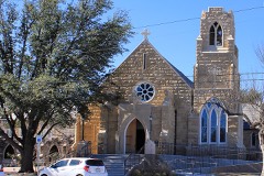
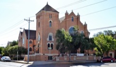
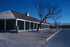
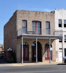
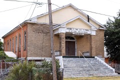
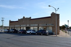
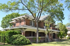
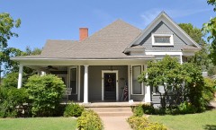
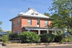
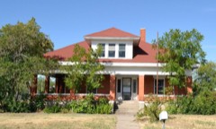
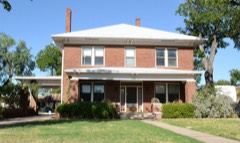
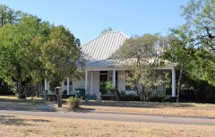
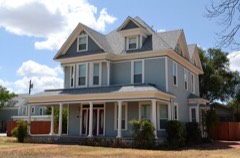
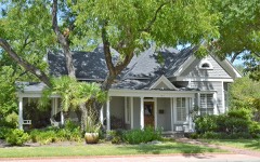
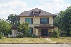
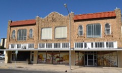
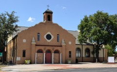
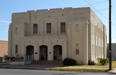
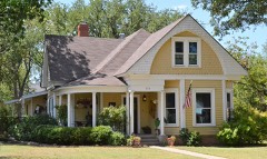
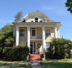
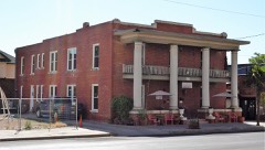
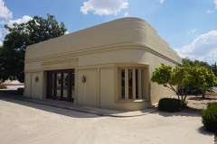
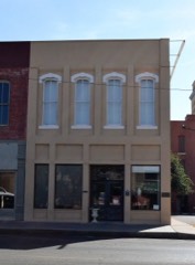
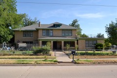
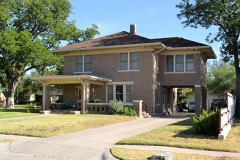
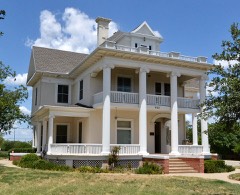
Every property in this county listed on the National Register of Historic Places, with the year it was listed and the federal nomination document.
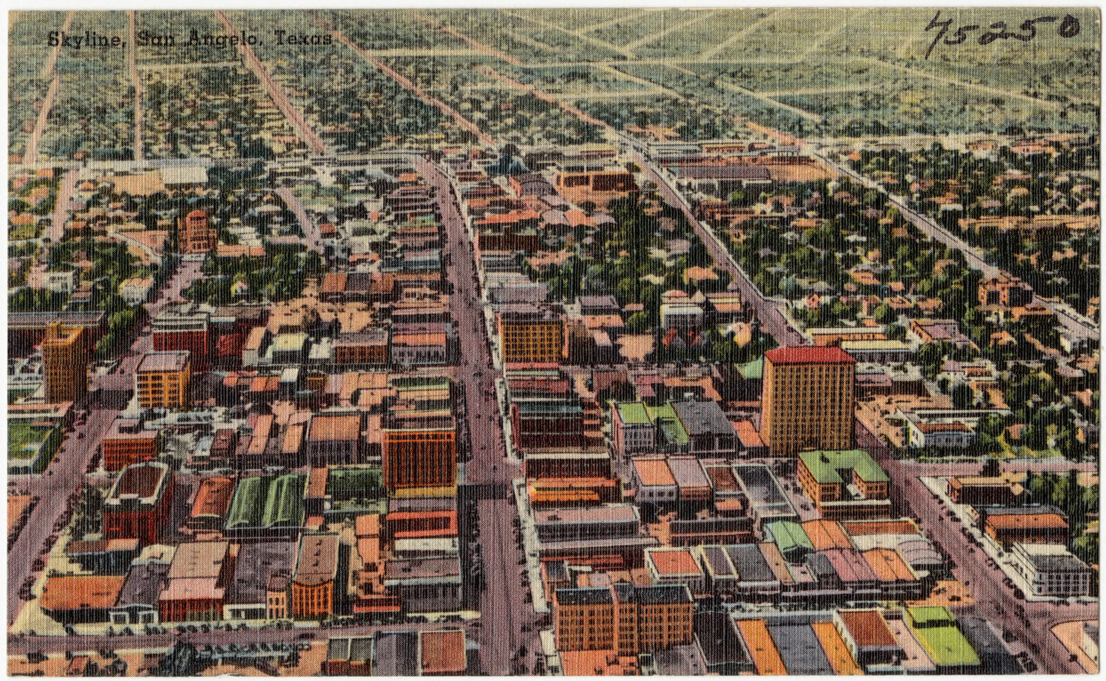
Drawn when these were printed as single large sheets: the town seen from the air, and the county divided into its farms with every owner named. Each opens the original at the Library of Congress.

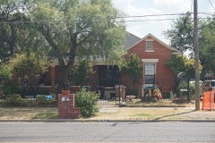
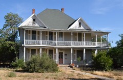
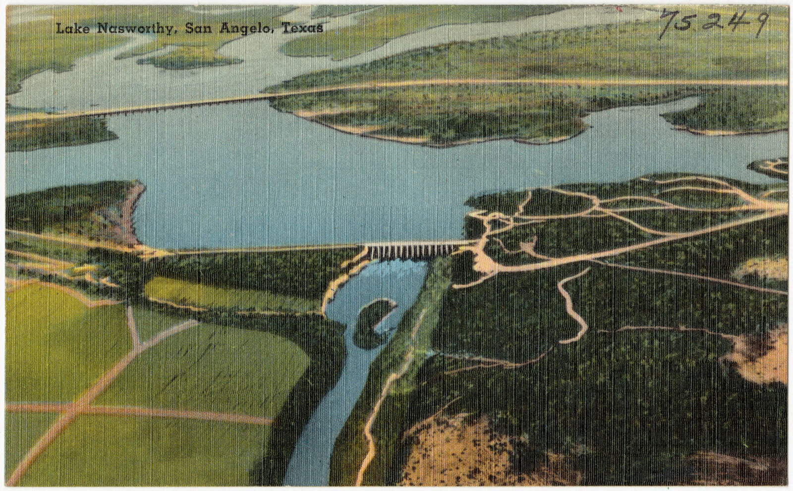
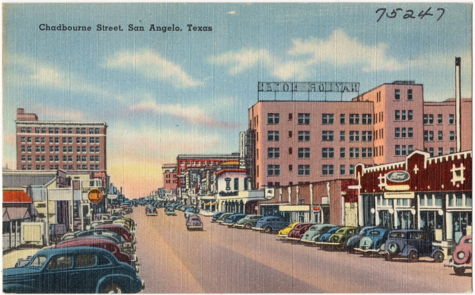
Selected from the Digital Public Library of America's 7 image records catalogued for this county. Every one shown here carries a public-domain status or a licence that permits reuse on a site that carries advertising; non-commercial, share-alike and restricted images are excluded. The selection is spread across the county's towns (at most eight per town), so no single institution's bulk upload crowds out the rest. Each opens the holding library's record, and the complete set at the Digital Public Library of America is one click away.
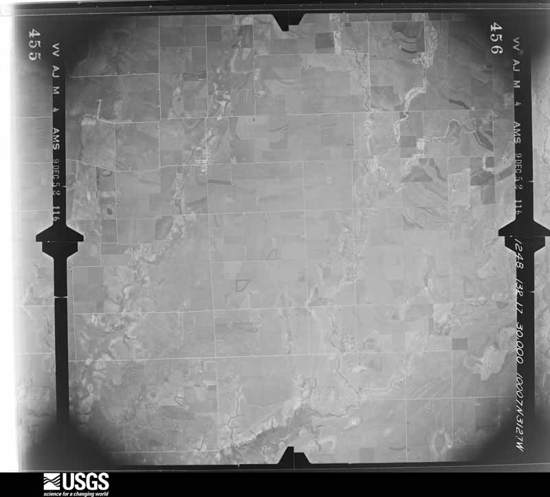
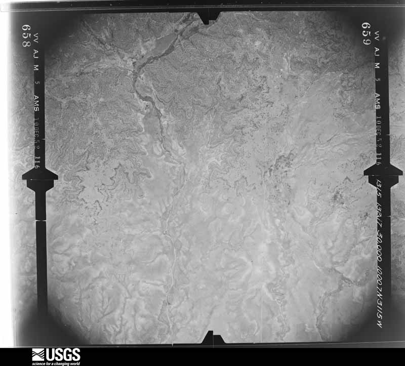
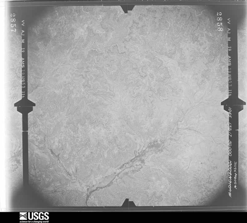
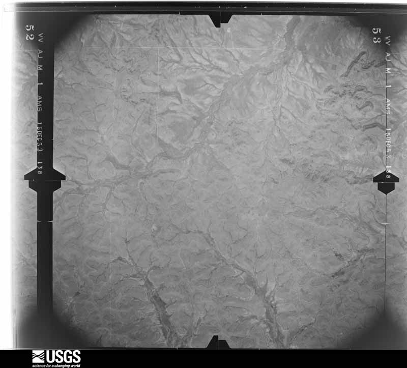
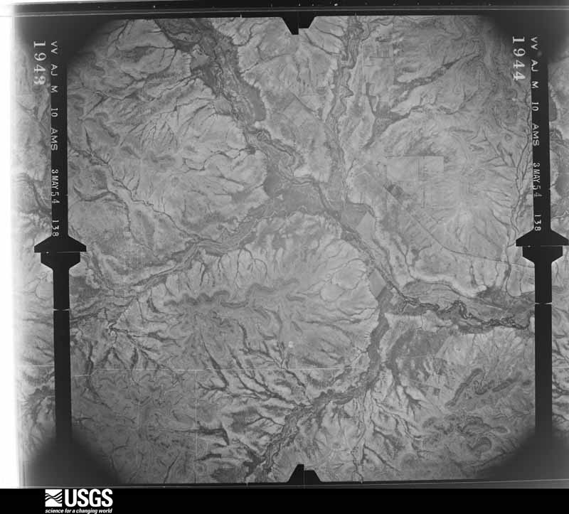
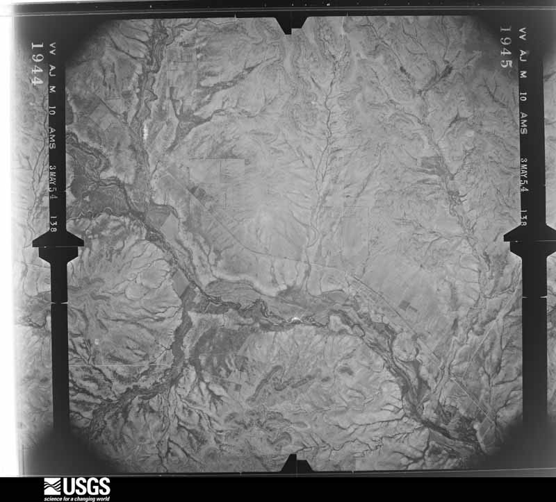
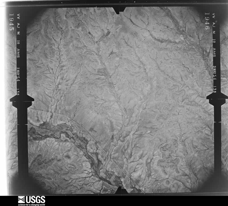
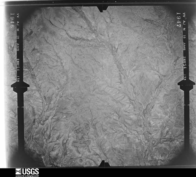
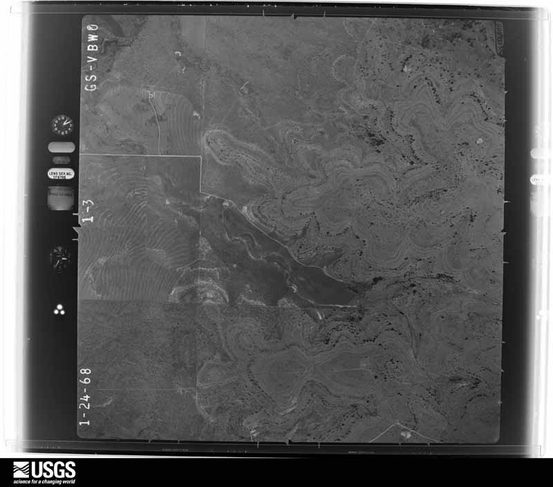
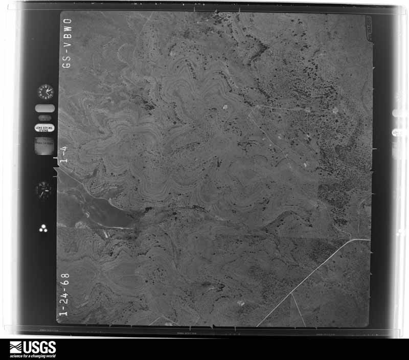
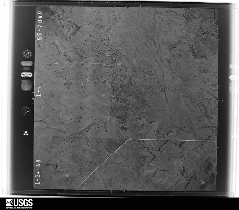
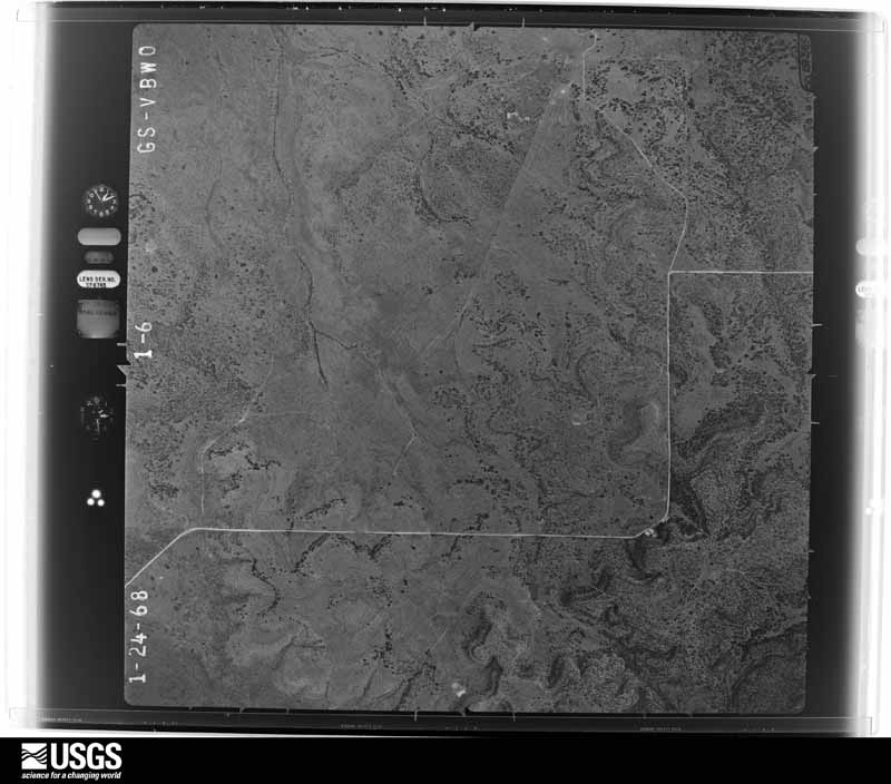
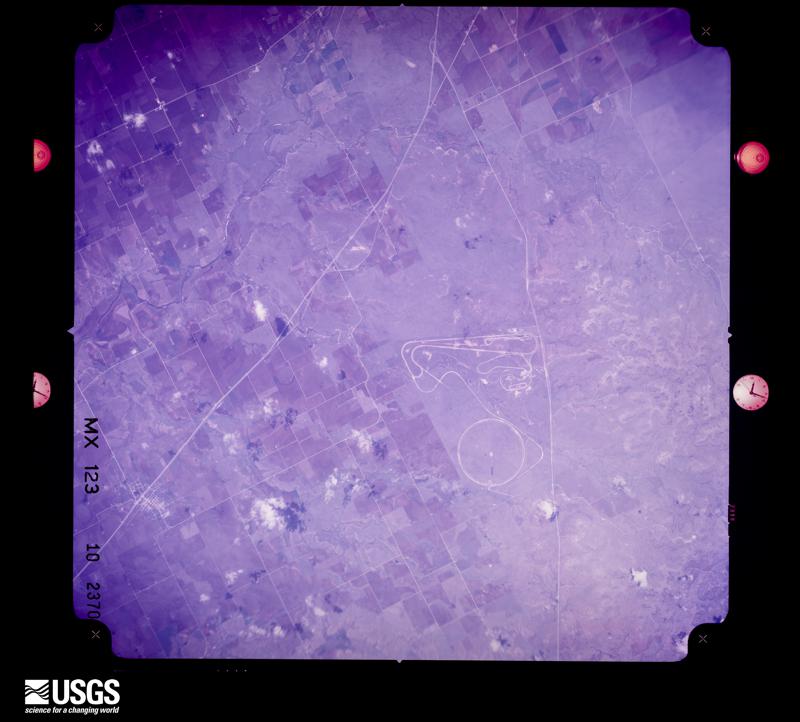
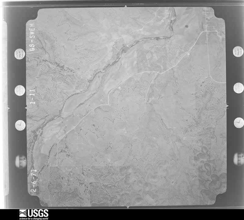
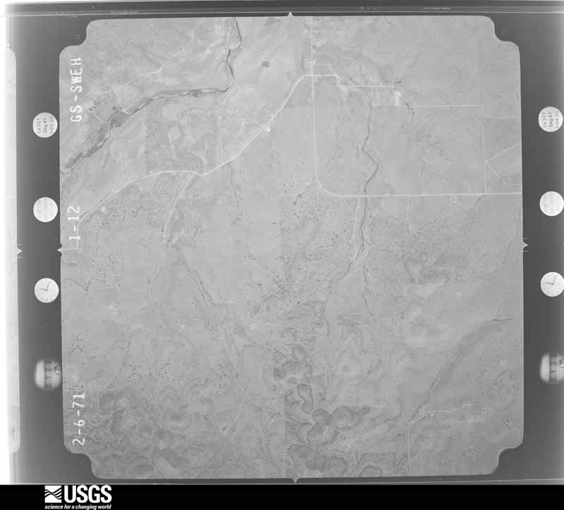
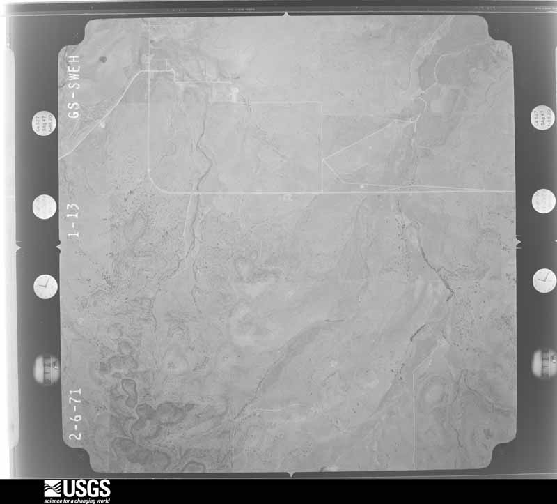
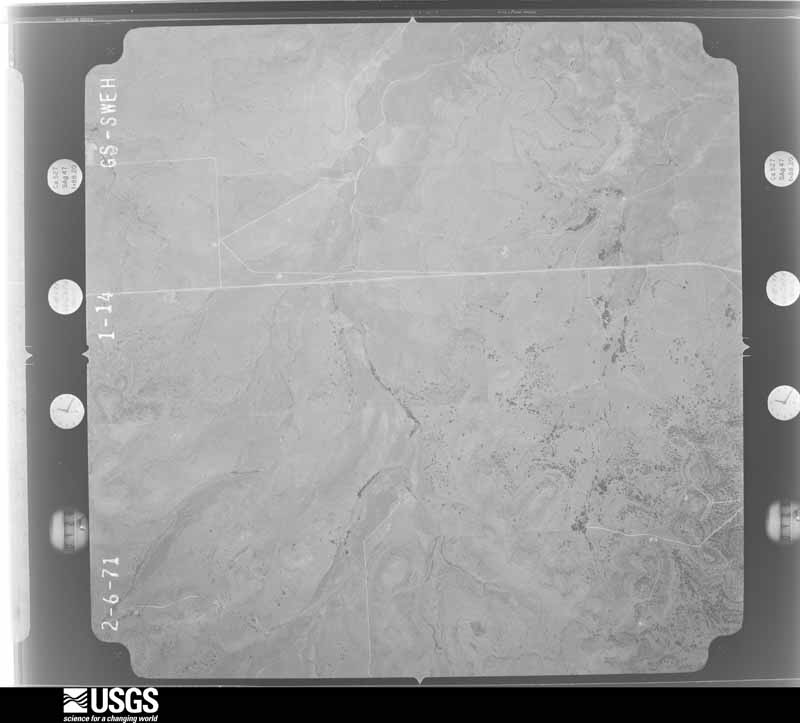
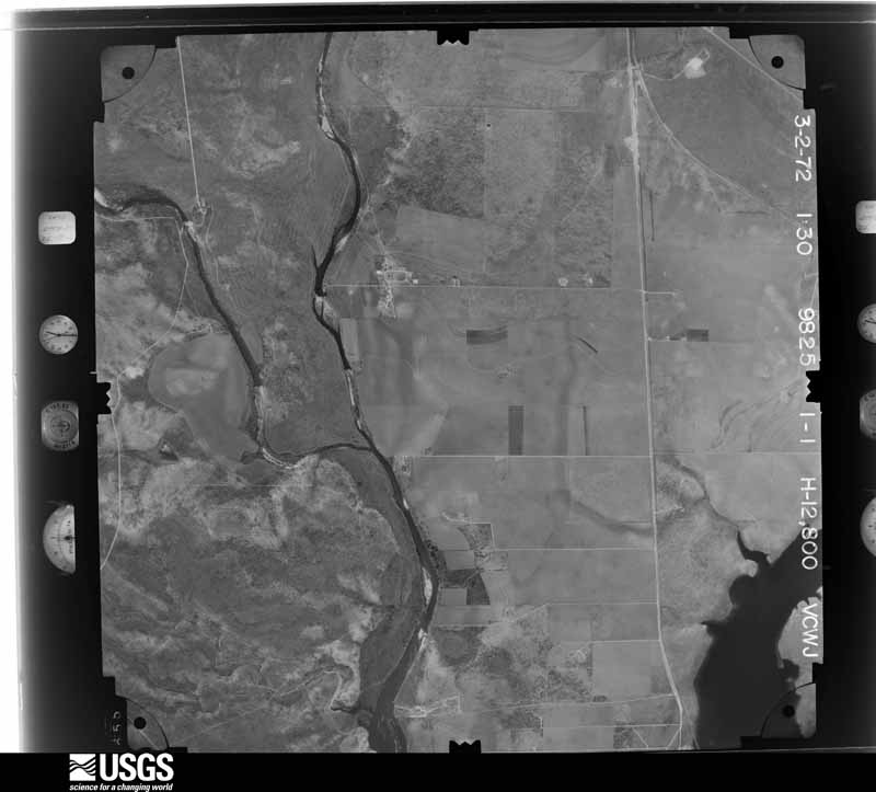
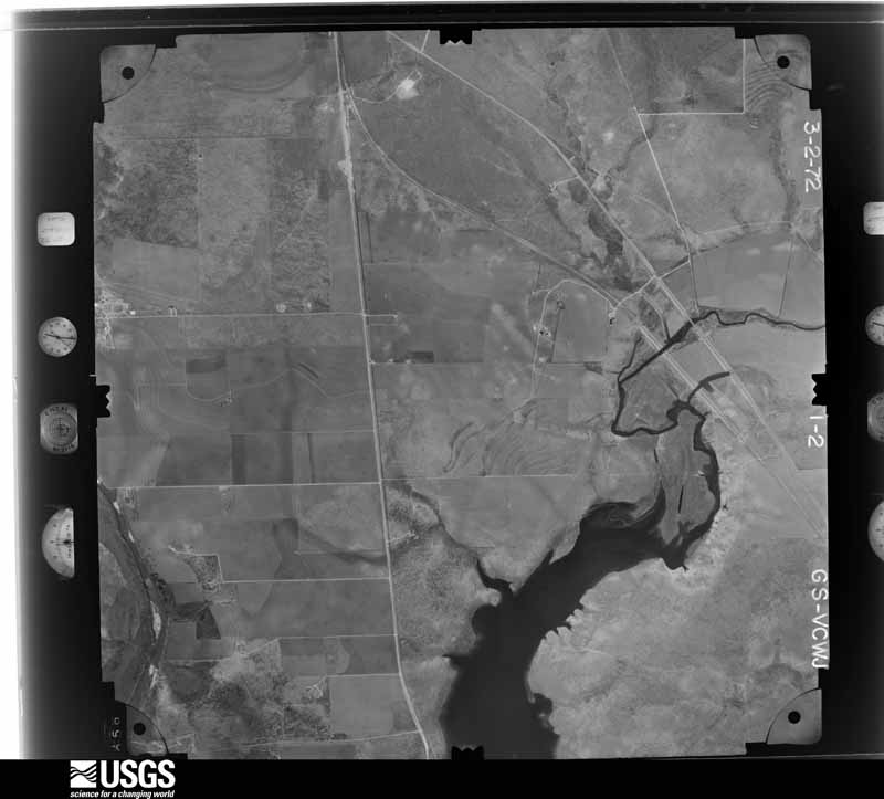
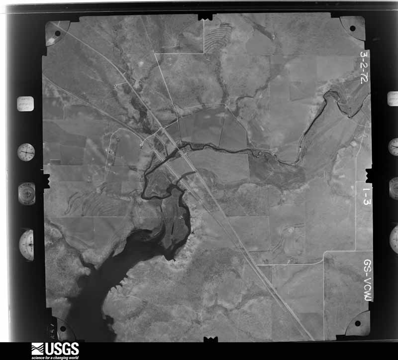
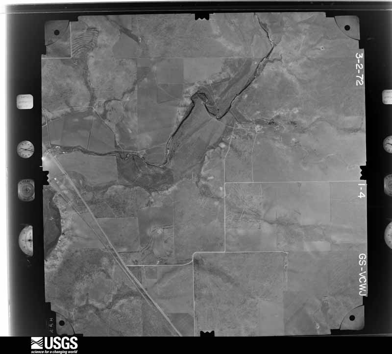
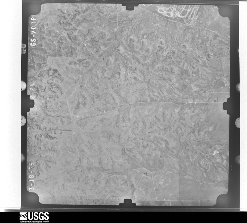
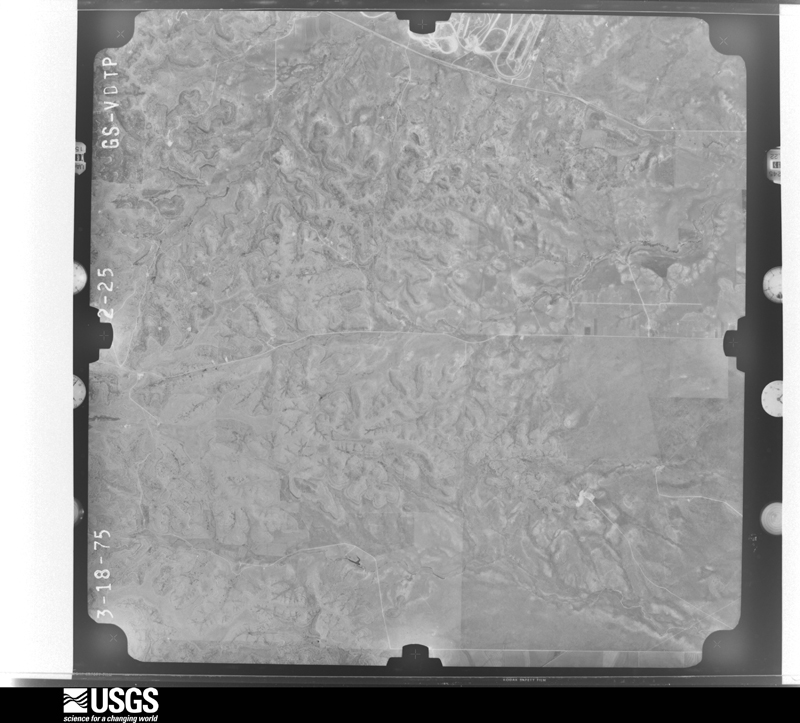
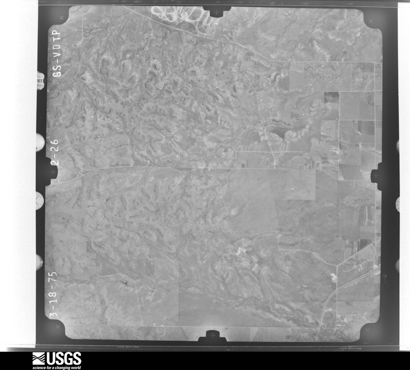
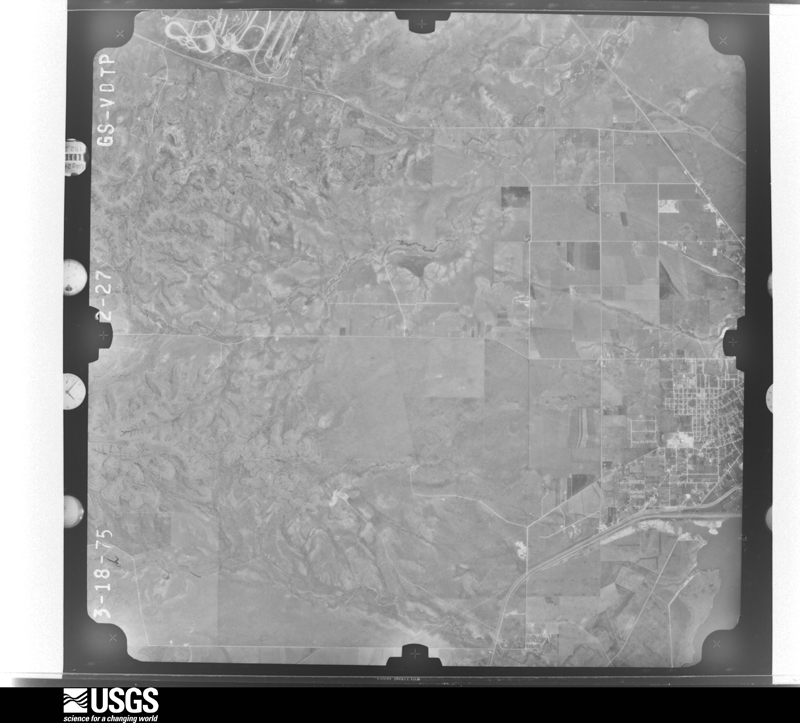
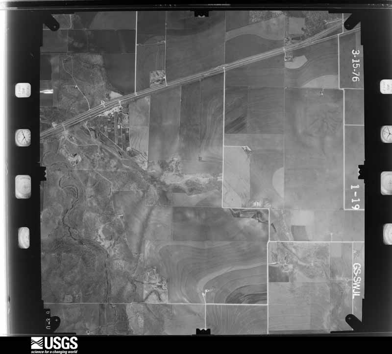
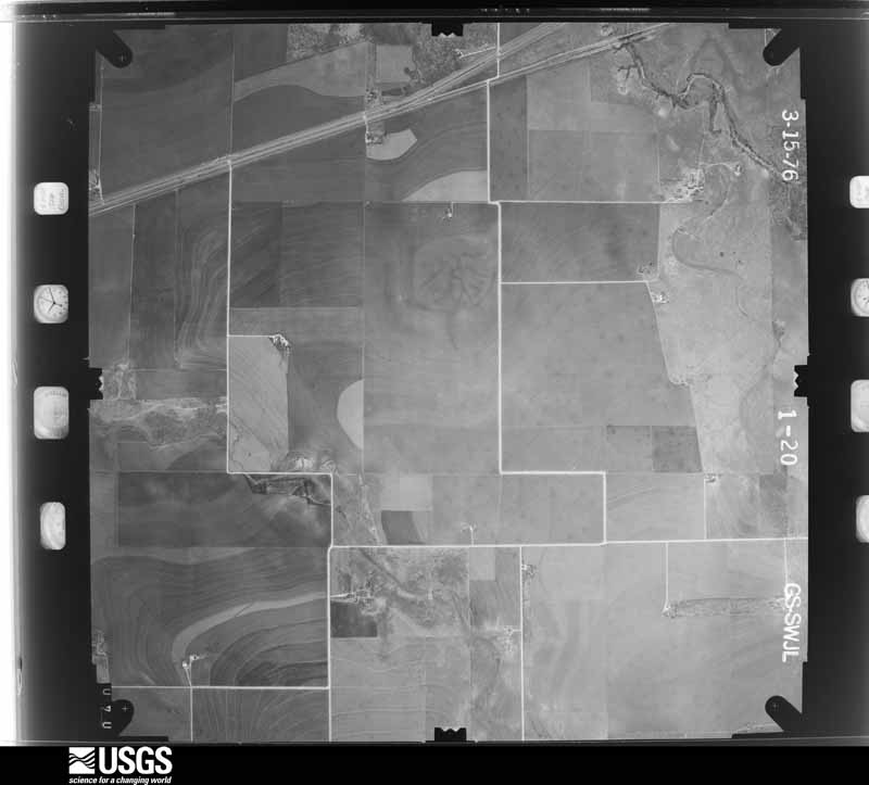
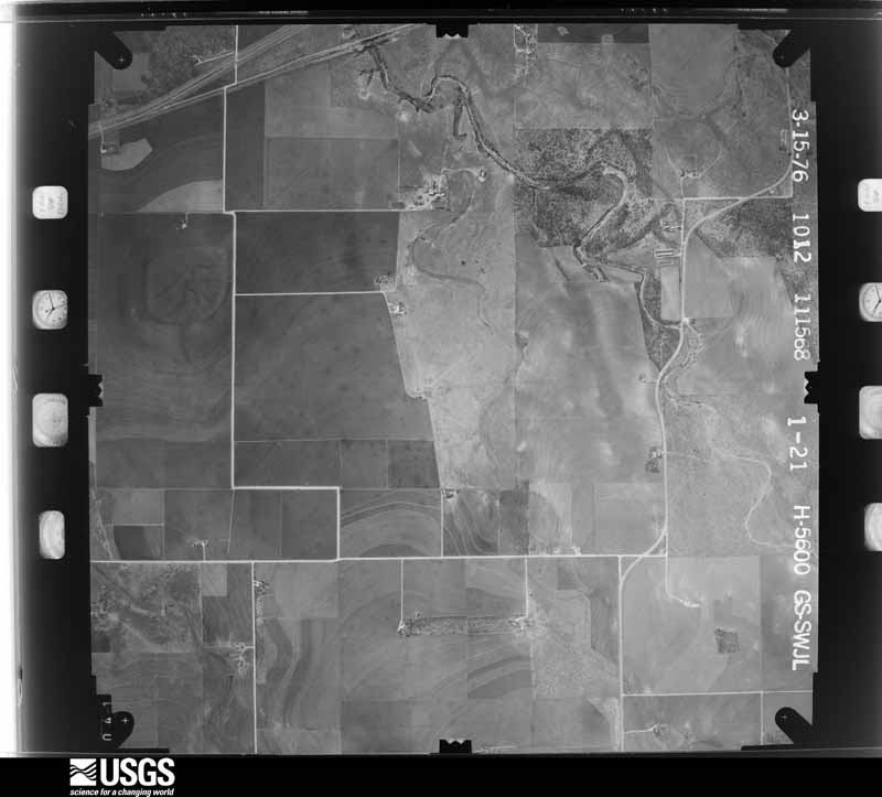
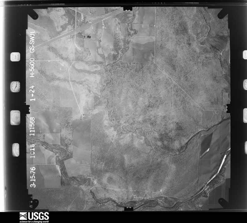
Flown by the U.S. Geological Survey between 1937 and 1989, the Aerial Photo Single Frames collection is the definitive mid-century view of the land: fields, roads and rivers as the camera saw them. The Survey holds 2,843 frames inside the rectangle that bounds this county; the 35 frames below were taken over the county itself, chosen across the decades of flights (at most four a year from that rectangle), so one flight cannot crowd out the rest. The full set is free to browse and download at EarthExplorer under the dataset Aerial Photo Single Frames.






The thermometers that kept this county's weather, and the gages that measured the flow of its streams, as the federal records hold them. The extremes below are measured values from those records, not estimates.
Who lived here in 1950, one enumeration district at a time, as the Census Bureau described each district. Each row opens its official National Archives result, with Population Schedules and ED Maps available there.
Every wildfire the federal occurrence database records inside this county: 869 of them, burning about 59,981 acres. 61 started naturally and 35 were recorded as arson. Each settlement page carries the fires within five miles of it.
| Reported cause | Fires |
|---|---|
| Debris and open burning | 320 |
| Missing data/not specified/undetermined | 228 |
| Equipment and vehicle use | 125 |
| Natural | 61 |
| Smoking | 37 |
| Arson/incendiarism | 35 |
| Power generation/transmission/distribution | 26 |
| Recreation and ceremony | 19 |
| Railroad operations and maintenance | 13 |
| Misuse of fire by a minor | 4 |
| Firearms and explosives use | 1 |
The five largest, by the area the report gives. None of them was recorded as arson.
| Date | Cause | Size | Reported by | Name on the report |
|---|---|---|---|---|
| 10 April 2011 | Natural | 12,659 acres | Texas A & M Forest Service | ENCINO FIRE |
| 15 August 2015 | Natural | 5,204 acres | Texas A & M Forest Service | HEAD OF THE RIVER RANCH |
| 19 June 2011 | Natural | 4,300 acres | Texas A & M Forest Service | WILSON RANCH FIRE |
| 20 August 2019 | Debris and open burning | 3,466 acres | Texas A & M Forest Service | ROCKING CHAIR RANCH |
| 18 June 2011 | Natural | 2,860 acres | Texas A & M Forest Service | HUDSON COMPLEX |
| 26 March 2009 | Smoking | 2,300 acres | Texas A & M Forest Service | DOVE CREEK CATTLE CO. |
| 18 June 2006 | Natural | 1,862 acres | Texas A & M Forest Service | TOENAIL TRAIL RANCH |
| 1 August 2008 | Debris and open burning | 1,302 acres | Texas A & M Forest Service | not named |
Every settlement page carries the fires within five miles of it - see the settlement index below.
The NOAA Storm Events Database holds 1,303 reports for this county, causing 16 deaths, 267 injuries and about $228,971,740 in recorded property damage. Each settlement page carries the reports that name it.
| Kind of event | Reports |
|---|---|
| Hail | 660 |
| Thunderstorm Wind | 420 |
| Flash Flood | 138 |
| Tornado | 56 |
| Flood | 16 |
| Heavy Rain | 6 |
| Lightning | 4 |
| Funnel Cloud | 3 |
The most serious of them, by death, then injury, then recorded damage. The accounts are quoted exactly as the forecast office filed them.
| When | Event | Place named | Harm | What the report says |
|---|---|---|---|---|
| May 1953 | Tornado (F4) | not stated | 13 killed, 159 hurt, $2,500,000 | no account filed |
| March 1973 | Tornado (F2) | not stated | 1 killed, 7 hurt, $250,000 | no account filed |
| June 1984 | Tornado (F1) | not stated | 1 killed, $25,000 | no account filed |
| July 2025 | Flash Flood | San Angelo | 1 killed | Law enforcement reported flash flooding at the intersection of Coke Street and Schroeder Street which resulted in one fatality when a vehicle was swept away by the flood waters. |
| May 1995 | Thunderstorm Wind | San Angelo | 50 hurt, $60,000,000 | no account filed |
| May 1995 | Hail | San Angelo | 10 hurt, $25,000,000 | no account filed |
| May 1995 | Hail | San Angelo | 10 hurt, $20,000,000 | no account filed |
| May 1995 | Hail | Sjt | 10 hurt, $50,000 | no account filed |
| April 1952 | Tornado (F3) | not stated | 6 hurt, $250,000 | no account filed |
| May 2019 | Tornado (EF2) | Tankersly Arpt | 2 hurt, $7,500,000 | An EF-2 Tornado began in Dove Creek, about 16 miles southwest of San Angelo. This tornado removed the roofs from several homes and caused some of the outer walls to collapse. It blew out a wall of a large metal building at the Boys Ranch, destroyed several outbuildings and continued to damage trees as it crossed over Twin Buttes Reservoir. Then the tornado entered the Southland Subdivision, located about 5.5 miles southwest of San Angelo where the tornado broadened to nearly a mile wide as it weakened. It damaged shingles on many roofs and a chimney, it toppled fences, broke windows, uprooted some trees and broke many tree limbs across the Southland Subdivision. The tornado continued to cause similar damage as it moved northeast into the College Hills Subdivision. The tornado then began to decrease in width and increase in strength near Angelo State University (ASU). The tornado damaged roofs, broke a large church window, and destroyed a gasoline canopy, fences and trees near ASU. This tornado even tore HVAC Units from the MHMR Building near downtown San Angelo. The twister crossed Loop 306 near Main Street and intensified to an EF-2 as it struck the Bradford Elementary Subdivision in the north part of San Angelo. It destroyed 39 homes and damaged about 90 homes as it removed residential roofs and collapsed outer walls. The strong tornado threw an automobile into a residence and snapped tree trunks. Two injuries were reported. |
| May 1998 | Tornado (F1) | Veribest | 2 hurt, $1,300,000 | A tornado destroyed 2 mobile homes, injuring two of the occupants inside one of them |
| October 1993 | Thunderstorm Wind | San Angelo | 2 hurt, $500,000 | Ham radio operators and storm spotters reported severe weather in and near San Angelo late on the 17th. In North San Angelo, two mobile homes were demolished, with other roofs, fences, power lines, and outbuildings damaged. Two people in one the the trailers sustained minor cuts and bruises. The damage was believed to be caused by a microburst. Golfball-size hail was reported by a spotter in Carlsbad at 2112 CST. Around 2210 CST, another microburst damaged an athletic supply building and the roof of a high school in north San Angelo. Later, quarter-size hail was reported in north San Angelo by a NWS employee. At 2345 CST, a NWS employee reported Ping-Pong-size hail 4 miles northeast of the San Angelo airport. |
| May 1995 | Tornado (F1) | Vancourt | 2 hurt, $250,000 | no account filed |
| July 2002 | Flash Flood | Countywide | 2 hurt, $100,000 | Thunderstorms developed over Tom Green County on the evening of the 6th. These thunderstorms dropped around 4 inches of rain in a short amount of time. Several low water crossings throughout the county became flooded. A couple and their son were swept into Live Oak Creek as they tried to navigate a flooded roadway. They were trapped for about one and half hours until help finally arrived. The couple received minor injuries as a result, and lost most of their belongings. In San Angelo many water rescues were performed as streets became flooded. |
| May 1995 | Hail | Eola | 1 hurt, $10,000 | no account filed |
| May 1952 | Tornado (F1) | not stated | 1 hurt, $2,500 | no account filed |
| July 2014 | Thunderstorm Wind | Carlsbad | 1 hurt | A powerful microburst struck about 5 miles northeast of Grape Creek and produced one injury and extensive damage across the Indian Creek neighborhood located near the intersection of Glass Road and Grape Creek Road. ||Shingles were blown off several residences, a single wide mobile home was moved off its blocks, and several windows of mobile homes and vehicles were broken by the wind-driven hail. Mobile home skirting was blown out by the strong thunderstorm winds. In addition, several outbuildings were destroyed, a large metal building housing large hay bales was also destroyed as the metal was strewn a couple of hundred yards into a nearby field. |
| September 2001 | Flash Flood | San Angelo | 1 hurt | A man caught in his vehicle in high water suffered minor injuries before he could be rescued. The man hung onto a guide wire for 20 minutes before police and fire personnel could finally wade out to reach him. |
| July 1988 | Thunderstorm Wind | not stated | 1 hurt | no account filed |
| May 1993 | Hail | San Angelo | $50,000,000 | A severe thunderstorm moved over San Angelo and pounded the city with hail larger than baseball-size. There were numerous reports of damage to vehicles, roofs, windows, and aircraft at Mathis Field. The storm damaged over 800 vehicles and nearly 1,000 roofs, mainly in the southwestern part of the city. Insurance adjusters estimated the total damage at around $10 million. Fortunately, no injuries resulted from the storm. |
| March 2002 | Hail | San Angelo | $16,000,000 | Hail up to golf ball size pounded the southern half of San Angelo shortly after noon, creating drifts several feet deep in places. Around 3500 homes suffered light to moderate damage, along with around 4000 automobiles. Many trees were stripped of their leaves. Hail stayed on the ground for at least 8 hours in some places. |
| June 2003 | Hail | San Angelo | $10,000,000 | The community of Grape Creek was pounded by hail up to the size of tennis balls combined with winds to 70 mph. This produced considerable damage to trees, roofs and cars. Hail of golf ball size or larger fell for almost 20 minutes. Severe hail of penny size or larger fell for 50 minutes. Almost every home in the community needed roof repairs. |
| June 2017 | Thunderstorm Wind | Carlsbad | $7,000,000 | Afternoon highs reached well above 100 degrees across a large part of West Central Texas. San Angelo measured 109 degrees. A cold front moving south across the region triggered thunderstorms. Several of these storms produced damaging thunderstorm winds. A line of storms formed just north of San Angelo and quickly began producing damaging downbursts winds across San Angelo and the Concho Valley. ||A National Weather Service Damage Survey team found evidence of downburst thunderstorm winds of 75 to 85 mph with some gusts to around 95 mph between Grape Creek and the San Angelo State Park. The downburst winds extended across San Angelo and was approximately 35 miles long and about 20 miles wide. At 7:44 PM CDT the damaging winds began near Grape Creek and snapped or fell about 24 power poles. These damaged poles were located near the baptist church on the south side of Grape Creek and they continued southeast along U.S. Highway 87. At 7:45 PM CDT, the West Texas Mesonet located just south of Grape Creek measured a 69 mph wind gust. By 7:54 PM CDT, these winds reached Mathis Field where the NWS San Angelo ASOS measured 78 mph. There was widespread roof damage across San Angelo. Lots of shingles and metal roofs were blown off, some windows were broken in homes, businesses and vehicles, a few garage doors were blown out, and many utility poles and power lines also were also blown down. Lots of trees were uprooted and large trunks were broken. A couple of hotels in downtown San Angelo, Shannon Hospital, and several apartment buildings lost some of their roofs. An apartment complex off of North Bryant near the Walmart lost a lot of roofing material. One of the walls on the north side of this apartment complex lost its brick veneer as it collapsed when the roof was slightly lifted. The ASOS at Mathis Field in San Angelo measured its last severe sustained wind of 58 mph at 8:16 PM CDT, along with a wind gust of 77 mph. |
| April 2008 | Tornado (EF1) | San Angelo Res | $6,000,000 | The NWS storm survey team found a tornado track across the Houston Harte Expressway that caused severe damage to a large distribution warehouse. Also, the tornado overturned 2 trailers, knocked down a communication tower, utility poles, and power lines, flipped cars, damaged roofs and road signs along the expressway. A couple of truck drivers who rode out the storm reported their tractor trailers were lifted at times during the tornado. One motorist in a smaller truck took shelter at the nearby Allsup's gas station reported being lifted up while he was in his small truck and seeing a small tornado. |
| May 1995 | Hail | San Angelo | $5,000,000 | no account filed |
| May 1995 | Hail | San Angelo | $5,000,000 | no account filed |
| June 2003 | Hail | San Angelo | $4,000,000 | The thunderstorm moved from Grape Creek into the city of San Angelo. The thunderstorm produced golf ball size hail and winds to 70 mph over the north and east portions of San Angelo. This caused damage to cars, roofs and businesses. |
| May 1996 | Tornado (F1) | Wall | $1,000,000 | no account filed |
| June 2003 | Hail | San Angelo | $800,000 | Large hail and strong winds combined to produce significant damage to homes and cars in San Angelo. This was the second severe thunderstorm to hit the city of San Angelo in three days. |
| May 2015 | Flood | Water Vly | $500,000 | The Concho River at Carlsbad was classified as a major flood. At 5 AM CDT, on May 19, the Concho River at Carlsbad went above the 12 foot flood stage. The river crested to 21.45 feet at 8 AM CDT and fell below flood stage at 615 PM CDT. The river flooded homes along the river including parts of San Angelo State Park. About 150 homes were flooded throughout Tom Green County including San Angelo. These homes were flooded by the river and from earlier flash flooding. |
| May 2015 | Flash Flood | Harriet | $500,000 | This flash flood impacted Tom Green County and San Angelo, flooding several homes and numerous roads and low water crossings across the city and county. Loop 306 was flooded at Knickerbocker Road and Jefferson Street. Water covered U.S. Highway 87 and surrounding fields for a considerable distance about 1 mile east of Wall. At 1139 PM CDT, a NWS employee, located 6 miles south southwest of San Angelo, measured 4.64 inches of rain in a 90 minute period. A woman was rescued from a car that was swept away 3 miles west southwest of San Angelo at the Southwest Boulevard low water crossing. At 103 AM CDT, the San Angelo Regional Airport was closed because of flooding and flights were diverted to Abilene. |
| May 2002 | Hail | San Angelo | $500,000 | Two severe thunderstorms developed over the city of San Angelo and produced hail up to golfball size for almost 40 minutes. The hail caused considerable property damage to homes and vehicles. |
| May 1993 | Hail | San Angelo | $500,000 | A severe thunderstorm moved over San Angelo and pounded the city with hail larger than baseball-size. There were numerous reports of damage to vehicles, roofs, windows, and aircraft at Mathis Field. The storm damaged over 800 vehicles and nearly 1,000 roofs, mainly in the southwestern part of the city. Insurance adjusters estimated the total damage at around $10 million. Fortunately, no injuries resulted from the storm. |
| May 2005 | Tornado (F1) | San Angelo | $300,000 | As the supercell thunderstorm started to move just to the east of San Angelo, it became better organized and was able to produce a tornado just off of loop 306 southeast of San Angelo. Two mobile homes were damaged, and two grain elevators received substantial damage. |
| February 1997 | Thunderstorm Wind | (Sjt)Mathis Fld San | $300,000 | no account filed |
| May 1995 | Tornado (F3) | Mereta to | $300,000 | no account filed |
| May 1989 | Tornado (F1) | not stated | $250,000 | no account filed |
| October 2018 | Tornado (EF2) | Knickerbocker | $200,000 | A National Weather Service team found evidence of tornado damage about 6 to 9 miles west southwest of Christoval. The strong tornadic winds snapped trunks and uprooted many Live Oak and Cedar trees. The tornado hit a metal building. The twister removed much of the roof covering, blew out a large garage door and caused steel perlins to buckle. |
| March 2004 | Tornado (F1) | Carlsbad | $200,000 | About eight manufactured homes were destroyed in the community of Carlsbad from a tornado. Other structures received minor damage. |
| June 2003 | Lightning | San Angelo | $200,000 | Intense lightening from a severe thunderstorm produced a house fire, which was a total loss. Also numerous appliances and televisions across the city were knocked out. The National Weather Service office in San Angelo also received a lightening strike that knocked out computer systems and a amateur radio transceiver. |
| August 1996 | Flash Flood | Christoval | $200,000 | no account filed |
| November 1996 | Thunderstorm Wind | San Angelo | $200,000 | no account filed |
| April 2008 | Tornado (EF1) | Tankersly Arpt | $150,000 | The NWS storm survey found that a tornado tore the roof and some walls off the upper floor of a residential home just southwest of Tankersley. Wind speeds were estimated around 100 mph. |
| June 2003 | Flash Flood | San Angelo | $150,000 | Several cars were stranded and a restaurant was flooded. |
| May 1998 | Flash Flood | San Angelo | $150,000 | Extensive flooding in the Quail Valley subdivision, with water flowing into houses and up to 8 feet of water covering some roadways |
| May 1995 | Tornado (F1) | Mereta | $150,000 | no account filed |
| May 2005 | Tornado (F1) | San Angelo | $100,000 | Just after the first tornado dissipated another tornado developed developed just to the south southeast of where the first tornado dissipated. Some damage was noted to homes, telephone poles and signs. |
| May 1998 | Flash Flood | San Angelo | $100,000 | Up to 1 foot of water flowing through several homes |
| June 1997 | Thunderstorm Wind | San Angelo | $100,000 | A severe wind and hail storm damaged roofs in the community of Grape Creek. |
| June 1996 | Hail | Veribest | $100,000 | no account filed |
| April 2008 | Tornado (EF0) | Vancourt | $50,000 | The NWS storm survey revealed the tornado destroyed 20 sheep shelters, damaged irrigation equipment, overturned an RV travel trailer and removed tin from a large outbuilding. |
| May 2002 | Hail | San Angelo | $50,000 | Several reports of golfball size hail received from the southern half of San Angelo. Damage was primarily to roofs. |
| May 2002 | Hail | San Angelo | $50,000 | Several reports of golfball size hail were received on the west side of San Angelo. |
| July 1997 | Thunderstorm Wind | San Angelo Mathis Fl | $50,000 | Strong winds broke six-inch tree branches and tore off metal roofs. |
| October 1993 | Thunderstorm Wind | San Angelo | $50,000 | Ham radio operators and storm spotters reported severe weather in and near San Angelo late on the 17th. In North San Angelo, two mobile homes were demolished, with other roofs, fences, power lines, and outbuildings damaged. Two people in one the the trailers sustained minor cuts and bruises. The damage was believed to be caused by a microburst. Golfball-size hail was reported by a spotter in Carlsbad at 2112 CST. Around 2210 CST, another microburst damaged an athletic supply building and the roof of a high school in north San Angelo. Later, quarter-size hail was reported in north San Angelo by a NWS employee. At 2345 CST, a NWS employee reported Ping-Pong-size hail 4 miles northeast of the San Angelo airport. |
| May 1996 | Thunderstorm Wind | Knickerbocker | $50,000 | no account filed |
| August 1996 | Flash Flood | Knickerbocker | $50,000 | no account filed |
| August 1996 | Thunderstorm Wind | San Angelo Res | $50,000 | no account filed |
| May 1995 | Hail | San Angelo | $50,000 | no account filed |
| May 1995 | Hail | San Angelo | $50,000 | no account filed |
The Survey's mineral resources record lists 8 workings inside this county. 3 still produce and 5 are closed or unrecorded. Each settlement page carries the workings within five miles of it.
| Commodity | Workings |
|---|---|
| Stone, Crushed/Broken | 4 |
| Sand and Gravel, Construction | 3 |
| Copper | 1 |
The least common of them first, because a county's hundredth gravel pit says nothing its first ten did not.
| Where | Site | Commodity | Status | Recorded |
|---|---|---|---|---|
| Turnerdale-1 | Copper | Occurrence | 1917 | |
| Montgomery Sand and Gravel | Sand and Gravel, Construction | Past Producer | ||
| Pool Sand and Gravel Pit | Sand and Gravel, Construction | Past Producer | ||
| Sanco Materials Corporation | Sand and Gravel, Construction | Past Producer | ||
| Reece Albert Water Valley Quarry | Stone, Crushed/Broken | Producer | ||
| Unknown Abandoned Limestone Quarry | Stone, Crushed/Broken | Past Producer | ||
| Willeke Pit | Stone, Crushed/Broken | Producer | ||
| Wilson Paving Company Operations | Stone, Crushed/Broken | Producer |
Named settlements recorded in the Geographic Names Information System, each with the topographic sheets covering it. Villages, hamlets and abandoned places alike. Each is shown with the nearest named watercourse or landform and the survey quadrangle it falls on.
San Angelo census division · 76903 · San Angelo South quadrangle
17 sheets, 1892 to 1986
West Tom Green census division · 76904 · On Burks Creek · Pecan Station quadrangle
14 sheets, 1892 to 1986
West Tom Green census division · 76934 · On Sulpher Draw · Carlsbad quadrangle
9 sheets, 1954 to 1986
West Tom Green census division · 76935 · Near McKildrick Draw · Christoval quadrangle
10 sheets, 1892 to 1986
West Tom Green census division · 76904 · Knickerbocker quadrangle
18 sheets, 1895 to 1986
East Tom Green census division · 76940 · On Dry Lipan Creek · Mereta quadrangle
11 sheets, 1892 to 1986
San Angelo census division · 76904 · San Angelo South quadrangle
17 sheets, 1892 to 1986
San Angelo census division · 76903 · Near Sulphur Draw · San Angelo South quadrangle
17 sheets, 1892 to 1986
East Tom Green census division · 76861 · On Willow Creek · Miles quadrangle
14 sheets, 1891 to 1986
East Tom Green census division · 76905 · Veribest quadrangle
13 sheets, 1892 to 1986
East Tom Green census division · 76861 · On Willow Creek · Miles quadrangle
14 sheets, 1891 to 1986
West Tom Green census division · 76958 · On Shin Oak Creek · Water Valley quadrangle
9 sheets, 1954 to 1986