 Block
BlockUpton County, Texas
24 topographic sheets cover 5 settlements here.
Research this county
What the record shows
- 40 topographic sheet readings cover the county's settlements.
- The Geographic Names Information System records 5 populated places in this county; 5 are covered by at least one topographic sheet.
The county from the air
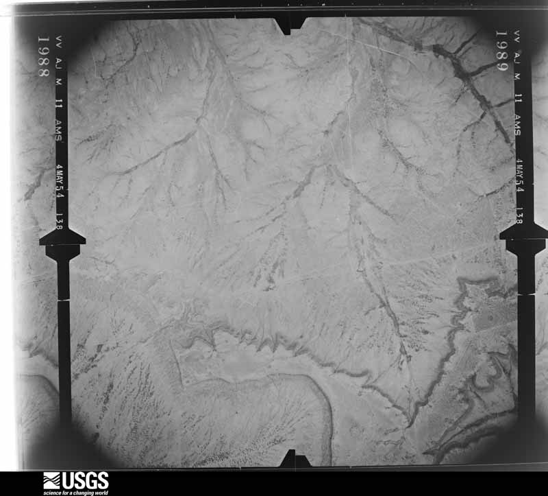
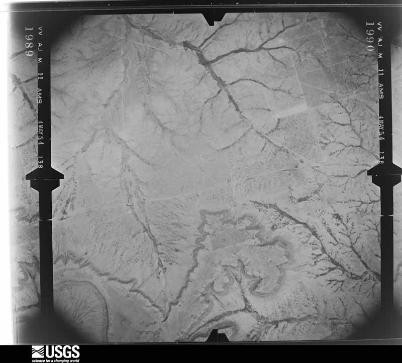
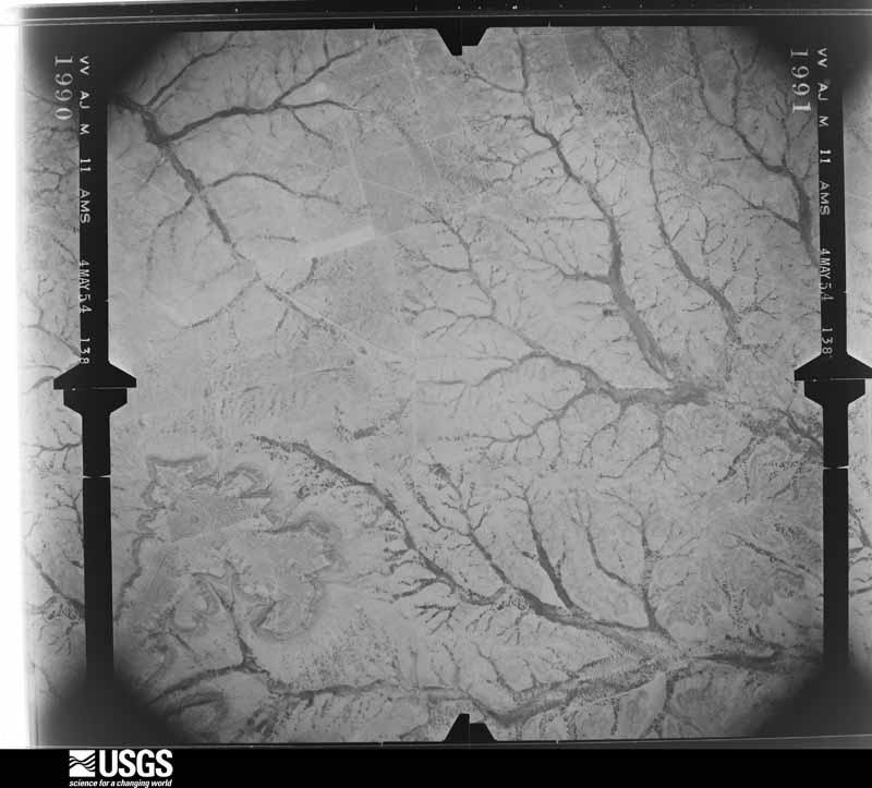
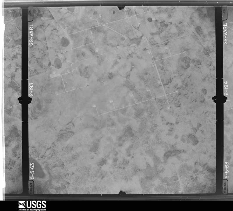
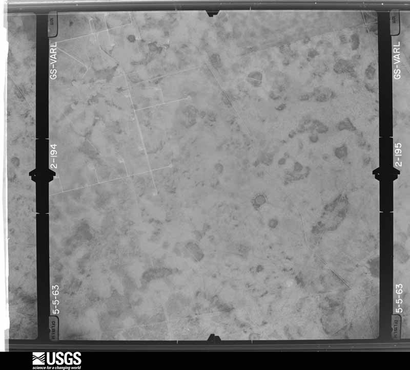
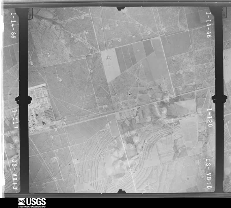
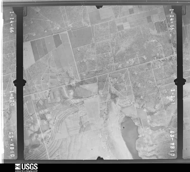
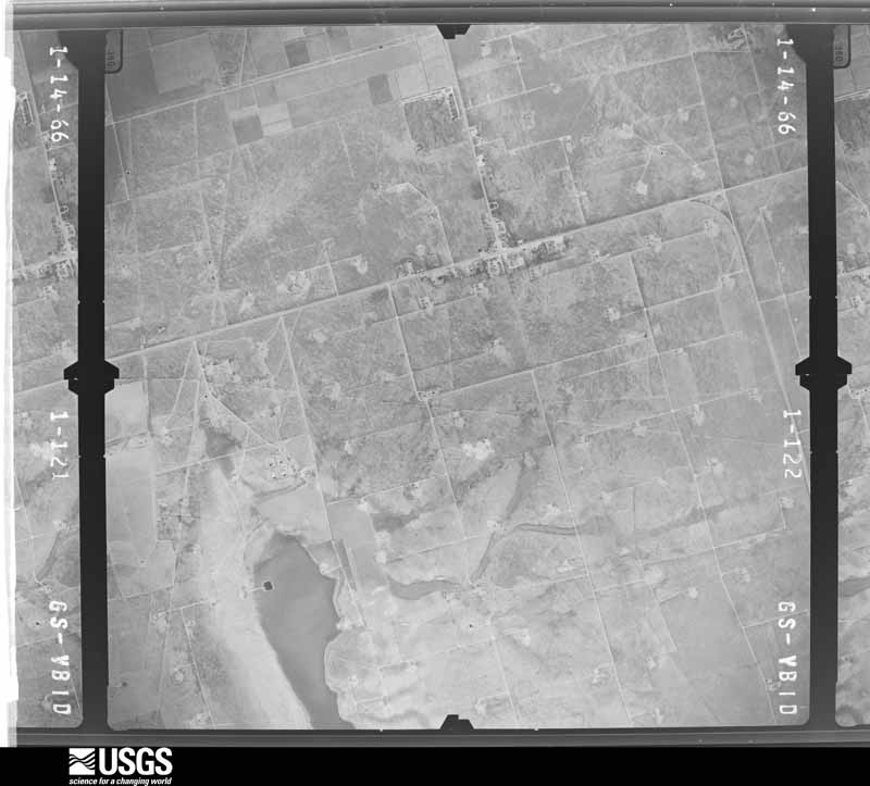
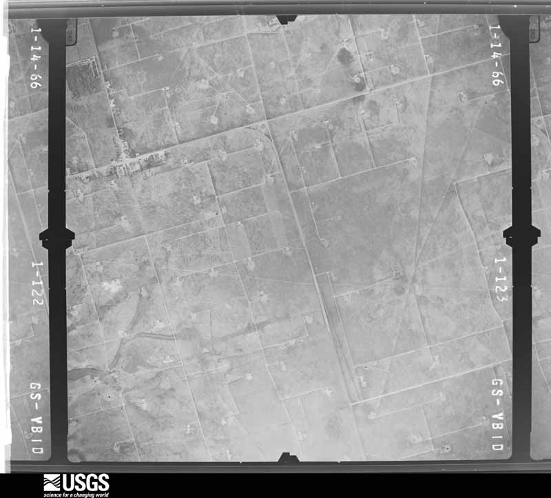
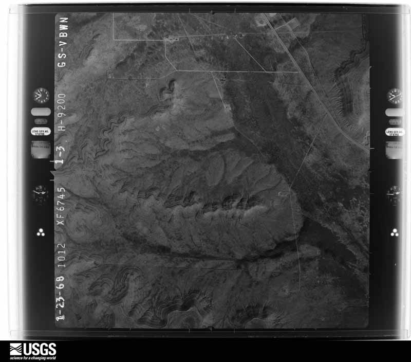
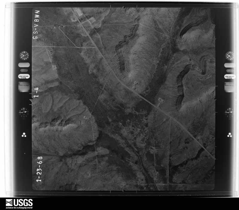
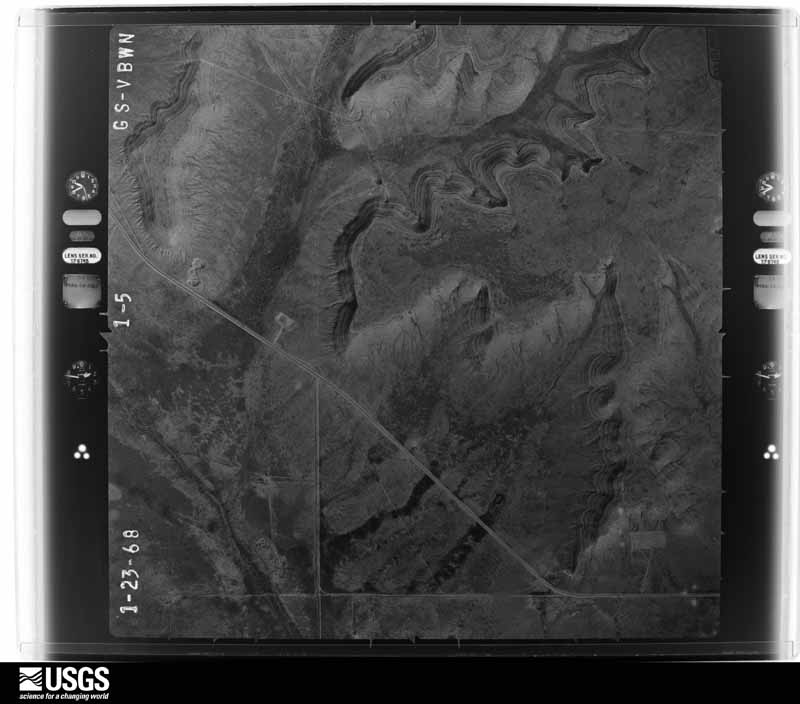
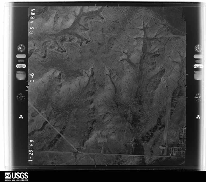
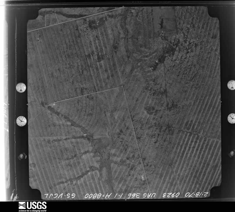
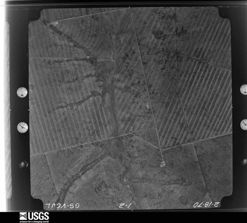
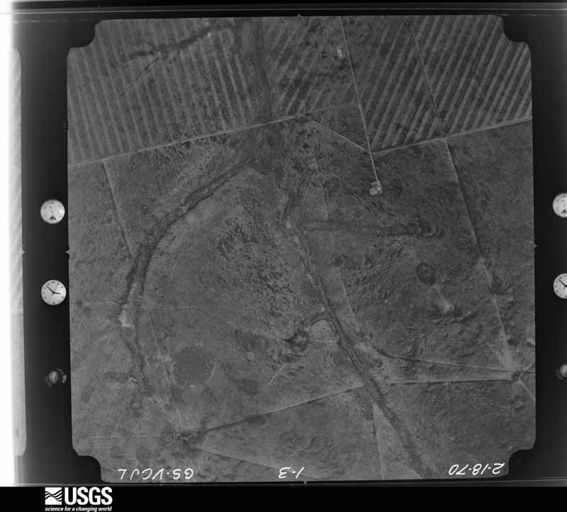
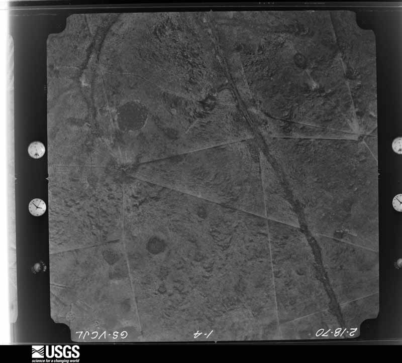
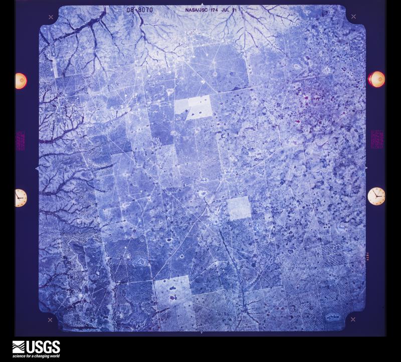
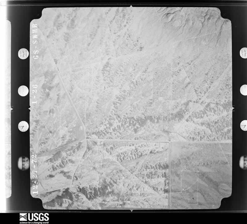
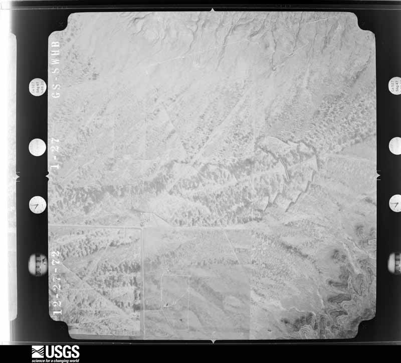
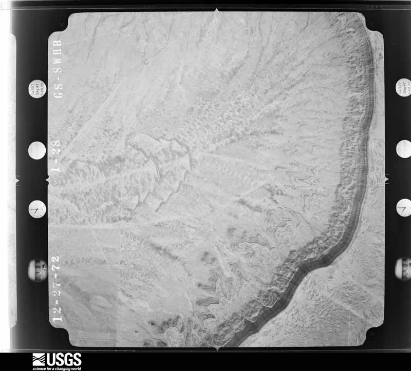
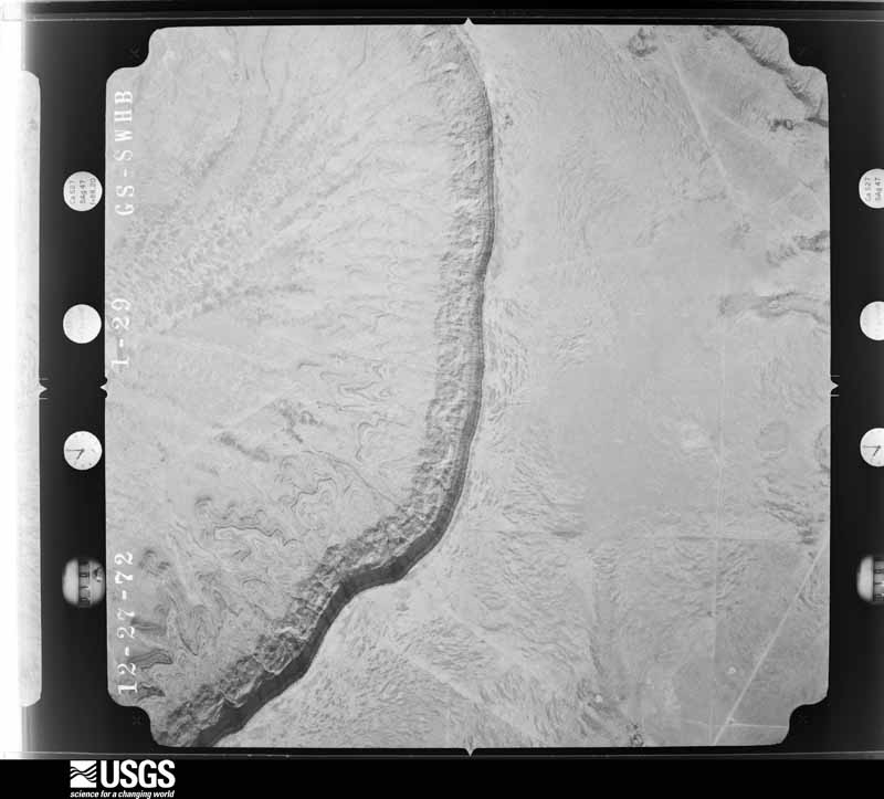
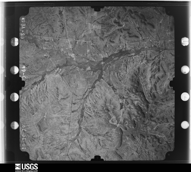
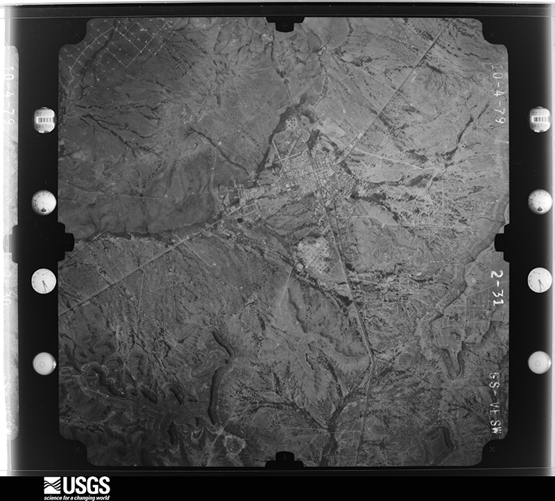
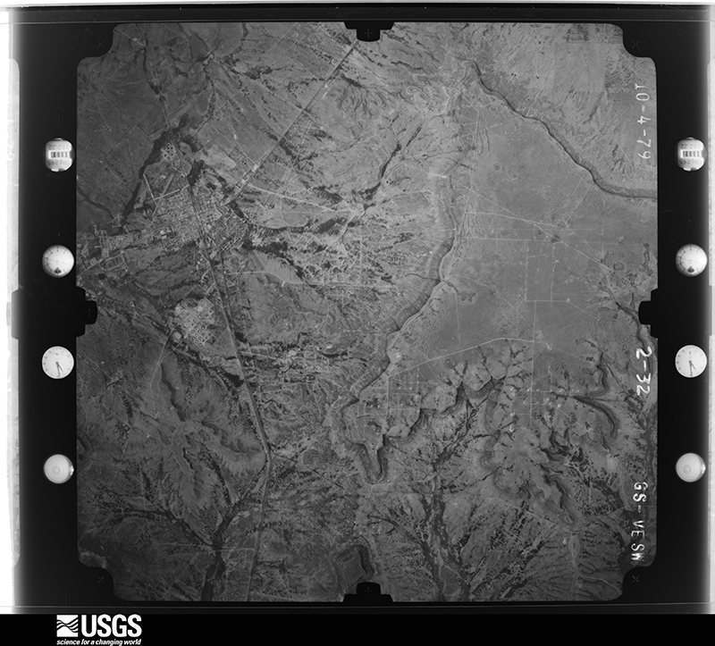
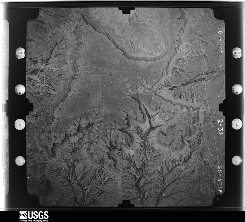
40 shownFlown by the U.S. Geological Survey between 1937 and 1989, the Aerial Photo Single Frames collection is the definitive mid-century view of the land: fields, roads and rivers as the camera saw them. The Survey holds 1,291 frames inside the rectangle that bounds this county; the 40 frames below were taken over the county itself, chosen across the decades of flights (at most four a year from that rectangle), so one flight cannot crowd out the rest. The full set is free to browse and download at EarthExplorer under the dataset Aerial Photo Single Frames.














Weather records
4 stationsThe thermometers that kept this county's weather, as the federal records hold them. The extremes below are measured values from those records, not estimates.
- MCCAMEY 1932 to 2026, hottest 45.0 C, coldest -18.9 C
- RANKIN 1948 to 1984, hottest 42.8 C, coldest -16.1 C
- MIDKIFF 1981 to 1996, hottest 45.0 C, coldest -24.4 C
- CRANE 10.4 SSE 2009
The 1950 census, district by district
11 districtsWho lived here in 1950, one enumeration district at a time, as the Census Bureau described each district. Each row opens its official National Archives result, with Population Schedules and ED Maps available there.
- 231-1Rankin city, comprising parts of Commissioner's Precincts 1 and 2: Rankin city - That part in Commissioner's Precinct 1
- 231-2Rankin city - That part in Commissioner's Precinct 2
- 231-3Commissioner's Precinct 1 - Outside Rankin city (Remainder of Commissioner's Precinct 1 is in Rankin city)
- 231-4Commissioner's Precinct 2 - Outside Rankin city (Remainder of Commissioner's Precinct 2 is in Rankin city)
- 231-5Commissioner's Precinct 3
- 231-6Commissioner's Precinct 4: McCamey city: McCamey city - That part Bounded by City limits; City limits; Panhandle and Santa Fe Railway; State Highway 51
- 231-7Commissioner's Precinct 4: McCamey city - That part Bounded by City limits; State Highway 51; Panhandle and Santa Fe Railway; City limits
- 231-8Commissioner's Precinct 4: McCamey city - That part Bounded by Panhandle and Santa Fe Railway; State Highway 51; City limits City limits
- 231-9Commissioner's Precinct 4: McCamey city: McCamey city - That part Bounded by City limits; City limits; Panhandle and Santa Fe Railway; State Highway 51
- 231-10Commissioner's Precinct 4 - That part north of Panhandle and Santa Fe Railway, outside McCamey city
- 231-11Commissioner's Precinct 4 - That part south of Panhandle and Santa Fe Railway, outside, McCamey city
Wildfire, 2010 to 2011
20 firesEvery wildfire the federal occurrence database records inside this county: 20 of them, burning about 381 acres. 3 started naturally and none was recorded as arson. Each settlement page carries the fires within five miles of it.
| Reported cause | Fires |
|---|---|
| Missing data/not specified/undetermined | 11 |
| Natural | 3 |
| Equipment and vehicle use | 3 |
| Power generation/transmission/distribution | 2 |
| Debris and open burning | 1 |
The five largest, by the area the report gives. None of them was recorded as arson.
| Date | Cause | Size | Reported by | Name on the report |
|---|---|---|---|---|
| 23 May 2011 | Natural | 242 acres | Texas A & M Forest Service | T. O. MIDKIFF FIRE |
| 4 November 2010 | Missing data/not specified/undetermined | 50 acres | Texas A & M Forest Service | 16 MILES NE RANKIN |
| 27 February 2011 | Missing data/not specified/undetermined | 40 acres | Texas A & M Forest Service | WILDLAND |
| 29 November 2010 | Power generation/transmission/distribution | 15 acres | Texas A & M Forest Service | GEORGE FIRE |
| 24 June 2011 | Natural | 10 acres | Texas A & M Forest Service | RADKIN RANCH FIRE |
| 23 May 2011 | Missing data/not specified/undetermined | 5.0 acres | Texas A & M Forest Service | WILDLAND |
| 17 February 2011 | Missing data/not specified/undetermined | 5.0 acres | Texas A & M Forest Service | UPTON LINE FIRE |
| 16 October 2010 | Equipment and vehicle use | 2.0 acres | Texas A & M Forest Service | 1555 FIRE |
Every settlement page carries the fires within five miles of it - see the settlement index below.
Storms, 1959 to 2025
60 of 263 shownThe NOAA Storm Events Database holds 263 reports for this county, causing no deaths, no injuries and about $945,690 in recorded property damage. Each settlement page carries the reports that name it.
| Kind of event | Reports |
|---|---|
| Hail | 159 |
| Thunderstorm Wind | 43 |
| Flash Flood | 39 |
| Tornado | 20 |
| Funnel Cloud | 1 |
| Heavy Rain | 1 |
The most serious of them, by death, then injury, then recorded damage. The accounts are quoted exactly as the forecast office filed them.
| When | Event | Place named | Harm | What the report says |
|---|---|---|---|---|
| June 2002 | Thunderstorm Wind | Midkiff | $400,000 | Spotters reported approximately 100 power poles blown down by severe thunderstorm winds in and around Midkiff. |
| March 2000 | Flash Flood | Countywide | $100,000 | no account filed |
| May 2024 | Tornado (EF2) | Midkiff | $50,000 | This tornado was reported to have begun as a large tornado very near the Midland/Upton County line by multiple observers. This tornado began to move towards the west, growing in size and increasing in intensity as it caused EF-3 damage to vegetation and heavy oil equipment. Ground scouring was noted along this portion of the damage path. The tornado may have been nearly stationary for a short time before moving back to the west, continuing to cause damage to vegetation, power poles, and oil equipment. During this portion of the path, the tornado would cross from Midland County into Upton County, a short distance from FM 1788. Eventually, the tornado began to dissipate as it continued towards the west-southwest as a stringing cone tornado before ending. Property damage cost is an estimation. |
| May 2005 | Flash Flood | Rankin | $50,000 | Law enforcement officials reported flash flooding along State Highway 349 north of Rankin. Flowing flood waters inundated the highway seven miles north of the city. By 19:56 CST residents in Rankin reported that heavy rainfall and flash flooding resulted in high water that entered several homes. A National Weather Service Cooperative Observer reported that up to five inches of rain had fallen during the past forty-eight hours. |
| May 1994 | Hail | McCamey | $50,000 | no account filed |
| May 1994 | Thunderstorm Wind | McCamey | $50,000 | no account filed |
| October 2015 | Flash Flood | Rankin Arpt | $35,000 | Heavy rain fell across Upton County and produced flash flooding in Rankin. A manufactured home and an RV were caught in high water near the 300 block of South Main Street in Rankin. The cost of damage is a very rough estimate. |
| June 2005 | Thunderstorm Wind | Rankin | $30,000 | Damaging thunderstorm winds swept over portions of Upton County during the early morning hours of the 3rd. A storage shed that was located at an oil field near the intersection of Farm to Market Road 1492 and Texas Highway 329 was destroyed. Debris from the shed was blown into an electrical transformer and caused additional damage including power outages. |
| October 1986 | Tornado (F1) | not stated | $25,000 | no account filed |
| July 2010 | Flash Flood | Mc Camey | $20,000 | A local gas station reported flooding across McCamey, TX. The water was high enough to move into both the middle school and elementary school. |
| May 1996 | Hail | Mc Camey | $20,000 | no account filed |
| April 2002 | Thunderstorm Wind | Rankin | $15,000 | Storm spotters reported several power poles blown down on Highway 1492. |
| March 2017 | Thunderstorm Wind | Mc Camey | $10,000 | A thunderstorm moved across Upton County and produced thunderstorm wind damage northeast of McCamey. Powerlines were blown down on Ranch to Market Road 2463 between US 67 and TX 329. Eight power poles were snapped along this stretch of road. The cost of damage is a very rough estimate. |
| June 2005 | Flash Flood | Mc Camey | $10,000 | Numerous reports of flash flooding were received from southern Upton County during the morning of the 10th. Initial reports indicated urban flash flooding with high water flowing through many city streets in McCamey. By 09:55 CST the local broadcast media reported a stalled car with water flowing through the windows at the 200 Block of East 6th Street in McCamey. By 10:59 CST, up to eight inches of water was reported flowing across U.S. Highway 67 west of Rankin. Additional reports of flooding were received from McCamey at 10:50 CST. |
| June 1996 | Hail | Mc Camey | $10,000 | no account filed |
| September 2003 | Thunderstorm Wind | Midkiff | $8,000 | Thunderstorm winds blew large trees and power lines down in the city of Midkiff. |
| May 2005 | Flash Flood | Rankin | $5,000 | Multiple reports of flash flooding were received from the Rankin area. Initial reports indicated that flood waters were inundating the porch at the Rankin Airport offices. by 06:30 CST, flowing water had inundated several area highways. The intersection of State Highway 349 and U.S. Highway 67 was impassable, as were several city streets. By 08:00 CST flash flooding had rendered State Highway 349 impassable with more than two feet of water flowing over the roadway north of Rankin. |
| July 1994 | Thunderstorm Wind | Rankin | $5,000 | The sheriff's office reported power poles down on Highway 349 north of Rankin. Later, the public reported quarter-size hail. |
| April 1993 | Thunderstorm Wind | McCamey | $5,000 | Lightning struck an oil tank battery in southwestern Upton County, resulting in signifcant damge to the tanks. Golf ball-size hail damaged a vehicle east of McCamey, and downburst winds blew a tree into a pickup truck northeast of McCamey. |
| April 1993 | Hail | McCamey | $5,000 | Lightning struck an oil tank battery in southwestern Upton County, resulting in signifcant damge to the tanks. Golf ball-size hail damaged a vehicle east of McCamey, and downburst winds blew a tree into a pickup truck northeast of McCamey. |
| April 1996 | Hail | Mc Camey | $5,000 | no account filed |
| June 1995 | Hail | Rankin | $5,000 | no account filed |
| May 1994 | Hail | Rankin | $5,000 | no account filed |
| July 1994 | Hail | Crane | $5,000 | no account filed |
| March 2017 | Thunderstorm Wind | Rankin Arpt | $3,000 | A thunderstorm moved across Upton County and produced wind damage in Rankin. There was a trampoline blown into the power lines, and a portable building was blown over behind the Rankin Drive In. The cost of damage is a very rough estimate. |
| May 2005 | Flash Flood | Rankin | $3,000 | A National Weather Service Cooperative Observer reported that high water from flash flooding threatened her home just northwest of Rankin. Water was entering the back of her residence at 18:30 CST. The water receded before causing significant damage. |
| May 2002 | Hail | Midkiff | $3,000 | Several vehicle windshields were broken due to the large hail. |
| July 2005 | Thunderstorm Wind | Midkiff | $2,500 | Hail up to the size of ping-pong balls combined with damaging winds to destroy cotton and watermelon crops, along with one farmer's irrigation system, in far northern Upton county and far southern Midland county. |
| April 1960 | Tornado (F2) | not stated | $2,500 | no account filed |
| June 1998 | Thunderstorm Wind | Mc Camey | $2,000 | Thunderstorm outflow winds knocked down at least one utility pole as well as some highway signs along Texas 329. |
| October 2015 | Flash Flood | Rankin Arpt | $1,000 | Heavy rain fell across Upton County and produced flash flooding in Rankin. There was flooding on Main Street south of the railroad tracks. A couple had water up to the door of their RV and had to be rescued. The cost of damage is a very rough estimate. |
| April 2008 | Thunderstorm Wind | Rankin | $1,000 | A goat shelter in Rankin was damaged by strong thunderstorm winds. |
| March 2000 | Tornado (F1) | Rankin | $1,000 | This tornado was visible from Rankin as a condensation funnel to the ground. It traveled across open ranchland, breaking through one fence. |
| April 2020 | Hail | Rankin | $500 | A thunderstorm moved across Upton County and produced golfball sized hail. A windshield was broken on a patrol vehicle. The cost of damage is a very rough estimate. |
| May 2016 | Hail | Rankin | $500 | A thunderstorm moved across Upton County and produced tennis ball sized hail northeast of Rankin. There was a report of a broken car windshield. The cost of damage is a very rough estimate. |
| July 1994 | Hail | Rankin | $500 | The sheriff's office reported power poles down on Highway 349 north of Rankin. Later, the public reported quarter-size hail. |
| May 1993 | Hail | Rankin | $500 | The Upton County Sheriff's Office reported quarter to golf ball-size hail north of Rankin. A spotter later reported golf ball- size and larger hail near Rankin. Minor damage to crops and vehicles resulted from the hail. |
| May 1993 | Hail | Rankin | $500 | As the Upton County storm complex moved over Rankin, golf ball-size hail was reported. The hail covered the ground just north of Rankin, resulting in minor damage to crops and vehicles. |
| June 2016 | Flash Flood | Mc Camey | $300 | Heavy rain fell across Upton County and produced flash flooding. State Highway 329 in Upton County was closed from the Crane County line to four miles east into Upton County due to flooding at low water crossings. Cost of damage is a very rough estimate. |
| July 1981 | Tornado (F0) | not stated | $250 | no account filed |
| October 2015 | Flash Flood | Rankin Arpt | $200 | Heavy rain fell across Upton County and produced flash flooding. Highway 349 was impassible due to high water from 4 to 7 miles north of Rankin. |
| October 2015 | Flash Flood | Rankin | $200 | Heavy rain fell across Upton County and produced flash flooding. Highway 67 was closed between Rankin and Big Lake due to high water over the road. |
| May 1993 | Hail | Rankin | $50 | As the Upton County storm complex moved over Rankin, golf ball-size hail was reported. The hail covered the ground just north of Rankin, resulting in minor damage to crops and vehicles. |
| May 1993 | Hail | Rankin | $50 | The Upton County Sheriff's Office reported quarter to golf ball-size hail north of Rankin. A spotter later reported golf ball- size and larger hail near Rankin. Minor damage to crops and vehicles resulted from the hail. |
| November 1993 | Thunderstorm Wind | Rankin | $50 | Early afternoon severe thunderstorms occurred in the Permian Basin. The public reported 60 mph thunderstorm winds and tree branches down three miles south of Odessa at 1915CST. A resident of Crane reported 60 mph thunderstorm winds that caused minor damage to some recreational equipment. At 1925CST, an off-duty National Weather Service employee reported 60 mph winds near Midland International Airport. Shortly afterward, 60 mph winds were reported in southern Midland County by a gas plant employee. In Upton County, the public reported 60 mph thunderstorm winds that caused minor damage to a carport in Rankin. |
| May 1983 | Tornado (F0) | not stated | $30 | no account filed |
| June 1983 | Tornado (F0) | not stated | $30 | no account filed |
| May 1982 | Tornado (F0) | not stated | $30 | no account filed |
| June 2025 | Thunderstorm Wind | Mc Camey | - | A report of a 75 mph wind gust was received from an observer in McCamey with a personal anemometer. The time of occurrence is partially estimated. |
| April 2025 | Hail | Midkiff | - | Ping pong to golf ball-sized hail reported by the public via social media. Time was estimated by radar. |
| April 2025 | Hail | Mc Camey Upton Co Ar | - | A trained spotter reported quarter to ping pong ball size hail, a half a mile to three miles south of McCamey. |
| April 2025 | Hail | Mc Camey | - | Law enforcement reported nickel to quarter size hail in McCamey. |
| April 2025 | Hail | Rankin Arpt | - | Quarter to half dollar size hail was reported at the Sheriff's office in Rankin. |
| April 2025 | Hail | Rankin | - | A report of 3 inch diameter hail was reported from 8 miles east of Rankin. |
| April 2025 | Flash Flood | Rankin Arpt | - | A report of street/road flooding or closures was received from mPING. |
| April 2025 | Hail | Rankin Arpt | - | A report of penny sized hail was received from mPING. Time is estimated from radar. |
| October 2025 | Flash Flood | Mc Camey | - | Upton County Sheriff's Office reported ongoing flash flooding near a few intersections in McCamey. The total time of occurrence is partially estimated from radar. No damage was reported. |
| October 2025 | Flash Flood | Rankin Arpt | - | Upton County Sheriff's Office reported flash flooding along portions of State Highway 349 north of Rankin. The total time of occurrence is partially estimated from radar. No damage was reported. |
| May 2024 | Hail | Rankin Arpt | - | This report was received from mPING. |
| May 2024 | Hail | Rankin Arpt | - | This report was received from mPING. |
Every populated place in the county
5Named settlements recorded in the Geographic Names Information System, each with the topographic sheets covering it. Villages, hamlets and abandoned places alike. Each is shown with the nearest named watercourse or landform and the survey quadrangle it falls on.
Provenance
- Topographic sheets. USGS Historical Topographic Map Collection, county index, measured from the bulk metadata.
- Fire insurance maps. Library of Congress Sanborn collection, faceted to this county.
- Photographs. Each place queried individually against the Library of Congress Prints and Photographs search.
- Wildfire. Short, Karen C. 2022. Spatial wildfire occurrence data for the United States, 1992-2020 [FPA_FOD_20221014]. 6th Edition. Fort Collins, CO: Forest Service Research Data Archive. https://doi.org/10.2737/RDS-2013-0009.6 Collected with United States Government funding and usable without additional permissions or fees.
- Mines and quarries. USGS Mineral Resources Data System (MRDS) https://mrdata.usgs.gov/mrds/ A work of the United States government, no copyright under 17 U.S.C. 105.
- Storms. NOAA National Centers for Environmental Information, Storm Events Database https://www.ncei.noaa.gov/stormevents/ A work of the United States government, no copyright under 17 U.S.C. 105. Narratives are quoted verbatim from the National Weather Service report and are not edited or summarised.