 Block
BlockRankin, Texas
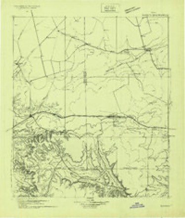
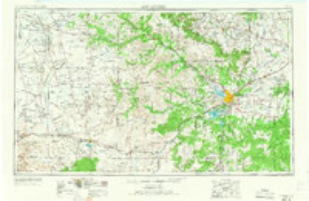
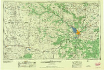
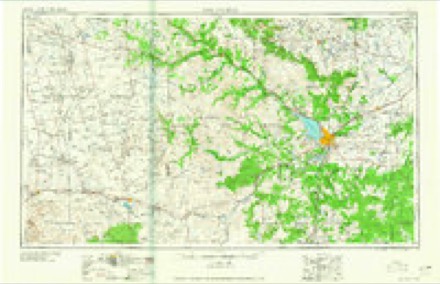
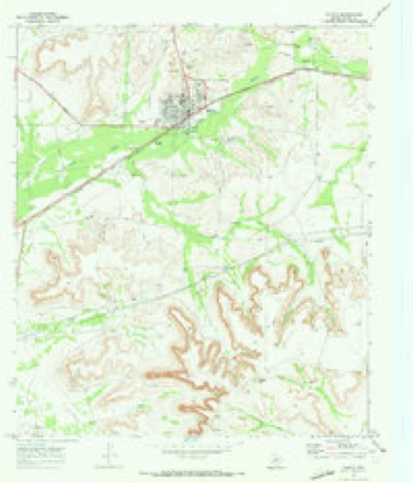
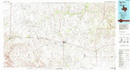
8 topographic sheets cover this place, the earliest surveyed in 1928 and the latest in 1986. It stands in the Rankin census division. It lies in ZIP code area 79778. The Survey maps it on the Rankin quadrangle. 780 people lived here at the 2020 count. It stands 2,516 feet above sea level.
Research this city
Population over time
2 figuresRankin grew from 778 to 780 between 2010 and 2020. These are the recorded population figures Wikidata holds for this place, reached through the Geographic Names Information System number this page is keyed on rather than by name, so they belong to this place and not to another of the same name. Most are census counts, but not all are: an early figure may be a founding or settlement estimate, and an estimate published within five years of a census is left out. The change column is computed, and is left blank where more than 20 years separate a figure from the one before it, because a gap that long is not a change between two counts.
| Year | People | Change |
|---|---|---|
| 2010 | 778 | |
| 2020 | 780 | +2 (+0%) |
Topographic sheets covering this place
6 surveys from 8 printed sheetsMatched by testing this settlement's coordinate against the published boundary of every sheet in the United States Geological Survey's historical collection. Each opens the scanned sheet at the Survey.
- 1928 USGS Rankin quadrangle1:125000
- 1954 USGS San Angelo quadrangle1:250000, 2 printings
- 1958 USGS San Angelo quadrangle1:250000
- 1965 USGS San Angelo quadrangle1:250000
- 1970 USGS Rankin quadrangle1:24000, 2 printings
- 1986 USGS Big Lake quadrangle1:100000
Fires near this place
2 since 2011Regional context, not property-specific evidence. The federal wildfire occurrence database lists 2 fires within 5 miles of Rankin in 2011, burning about 2 acres in total. None started naturally. None was recorded as arson. Distance is straight-line from the map coordinates, so a fire counted here may appear on a neighbouring settlement's page as well.
| Reported cause | Fires |
|---|---|
| Missing data/not specified/undetermined | 2 |
The most recent of them, most recent first, with the day each was reported and the service that recorded it.
| Date | Cause | Size | Reported by | Name on the report |
|---|---|---|---|---|
| 25 June 2011 | Missing data/not specified/undetermined | 1.0 acres | Texas A & M Forest Service | BAR DITCH |
| 15 February 2011 | Missing data/not specified/undetermined | 1.0 acres | Texas A & M Forest Service | BAR DITCH |
Storms near this place
60 of 80 shownRegional context, not property-specific evidence. The National Weather Service names Rankin in 80 storm reports between 1993 and 2025: 51 hail, 13 thunderstorm wind, 11 flash flood, 4 tornado. No death or injury is recorded in these reports. Each account below is quoted exactly as the forecast office filed it, from the NOAA Storm Events Database, and each date opens the federal record of that event.
| When | Event | Place named | Harm | What the report says |
|---|---|---|---|---|
| May 2005 | Flash Flood | Rankin | $50,000 | Law enforcement officials reported flash flooding along State Highway 349 north of Rankin. Flowing flood waters inundated the highway seven miles north of the city. By 19:56 CST residents in Rankin reported that heavy rainfall and flash flooding resulted in high water that entered several homes. A National Weather Service Cooperative Observer reported that up to five inches of rain had fallen during the past forty-eight hours. |
| June 2005 | Thunderstorm Wind | Rankin | $30,000 | Damaging thunderstorm winds swept over portions of Upton County during the early morning hours of the 3rd. A storage shed that was located at an oil field near the intersection of Farm to Market Road 1492 and Texas Highway 329 was destroyed. Debris from the shed was blown into an electrical transformer and caused additional damage including power outages. |
| April 2002 | Thunderstorm Wind | Rankin | $15,000 | Storm spotters reported several power poles blown down on Highway 1492. |
| May 2005 | Flash Flood | Rankin | $5,000 | Multiple reports of flash flooding were received from the Rankin area. Initial reports indicated that flood waters were inundating the porch at the Rankin Airport offices. by 06:30 CST, flowing water had inundated several area highways. The intersection of State Highway 349 and U.S. Highway 67 was impassable, as were several city streets. By 08:00 CST flash flooding had rendered State Highway 349 impassable with more than two feet of water flowing over the roadway north of Rankin. |
| July 1994 | Thunderstorm Wind | Rankin | $5,000 | The sheriff's office reported power poles down on Highway 349 north of Rankin. Later, the public reported quarter-size hail. |
| June 1995 | Hail | Rankin | $5,000 | no account filed |
| May 1994 | Hail | Rankin | $5,000 | no account filed |
| May 2005 | Flash Flood | Rankin | $3,000 | A National Weather Service Cooperative Observer reported that high water from flash flooding threatened her home just northwest of Rankin. Water was entering the back of her residence at 18:30 CST. The water receded before causing significant damage. |
| April 2008 | Thunderstorm Wind | Rankin | $1,000 | A goat shelter in Rankin was damaged by strong thunderstorm winds. |
| March 2000 | Tornado (F1) | Rankin | $1,000 | This tornado was visible from Rankin as a condensation funnel to the ground. It traveled across open ranchland, breaking through one fence. |
| April 2020 | Hail | Rankin | $500 | A thunderstorm moved across Upton County and produced golfball sized hail. A windshield was broken on a patrol vehicle. The cost of damage is a very rough estimate. |
| May 2016 | Hail | Rankin | $500 | A thunderstorm moved across Upton County and produced tennis ball sized hail northeast of Rankin. There was a report of a broken car windshield. The cost of damage is a very rough estimate. |
| July 1994 | Hail | Rankin | $500 | The sheriff's office reported power poles down on Highway 349 north of Rankin. Later, the public reported quarter-size hail. |
| May 1993 | Hail | Rankin | $500 | The Upton County Sheriff's Office reported quarter to golf ball-size hail north of Rankin. A spotter later reported golf ball- size and larger hail near Rankin. Minor damage to crops and vehicles resulted from the hail. |
| May 1993 | Hail | Rankin | $500 | As the Upton County storm complex moved over Rankin, golf ball-size hail was reported. The hail covered the ground just north of Rankin, resulting in minor damage to crops and vehicles. |
| October 2015 | Flash Flood | Rankin | $200 | Heavy rain fell across Upton County and produced flash flooding. Highway 67 was closed between Rankin and Big Lake due to high water over the road. |
| May 1993 | Hail | Rankin | $50 | As the Upton County storm complex moved over Rankin, golf ball-size hail was reported. The hail covered the ground just north of Rankin, resulting in minor damage to crops and vehicles. |
| May 1993 | Hail | Rankin | $50 | The Upton County Sheriff's Office reported quarter to golf ball-size hail north of Rankin. A spotter later reported golf ball- size and larger hail near Rankin. Minor damage to crops and vehicles resulted from the hail. |
| November 1993 | Thunderstorm Wind | Rankin | $50 | Early afternoon severe thunderstorms occurred in the Permian Basin. The public reported 60 mph thunderstorm winds and tree branches down three miles south of Odessa at 1915CST. A resident of Crane reported 60 mph thunderstorm winds that caused minor damage to some recreational equipment. At 1925CST, an off-duty National Weather Service employee reported 60 mph winds near Midland International Airport. Shortly afterward, 60 mph winds were reported in southern Midland County by a gas plant employee. In Upton County, the public reported 60 mph thunderstorm winds that caused minor damage to a carport in Rankin. |
| April 2025 | Hail | Rankin | - | A report of 3 inch diameter hail was reported from 8 miles east of Rankin. |
| June 2017 | Tornado (EF0) | Rankin | - | A thunderstorm moved across Upton County and produced a tornado six miles southeast of Rankin. The tornado was confirmed in open country south of Highway 67. There was no damage reported with this tornado so it was rated as an EF-0. |
| March 2007 | Tornado (EF0) | Rankin | - | Local television meteorologists from all three networks in addition to severeal spotters reported a tornado on the ground north of Rankin. This tornado remained in open country and no damage was reported to the NWS. |
| April 2007 | Thunderstorm Wind | Rankin | - | A local television forecaster reported 80 mph winds in Rankin. No damage was reported. |
| October 2007 | Hail | Rankin | - | Law enforcement reported quarter sized hail on Texas State Highway 329. |
| May 2006 | Hail | Rankin | - | The public reported hail a little smaller than golfball size in Rankin. |
| February 2005 | Hail | Rankin | - | Employees at the the Benedum Gas Plant reported penny size hail on the Upton and Reagan County line. |
| June 2005 | Hail | Rankin | - | Penny to nickel size hail was reported in Rankin.A complex of early morning convection propagated over the Upper Trans Pecos region of west Texas eastward over the southern Permian Basin on the 10th. These storms produced locally heavy rainfall that resulted in flash flooding. An embedded storm strengthened to severe levels and produced large hail in Rankin. |
| June 2005 | Hail | Rankin | - | Pea to golfball size hail was reported at a gas plant near the intersection of Farm to Market Road 1492 and Texas Highway 329. The hail fell at the plant for twenty minutes, but no damage was reported. Employees at the gas plant watched a rotating wall cloud produce funnel clouds south of the plant while the hail was falling. A National Weather Service damage survey to the area found no evidence of a tornado. |
| July 2005 | Thunderstorm Wind | Rankin | - | No damage was reported. |
| March 2004 | Hail | Rankin | - | Golfball hail was reported at the Benedum Gas Plant on the Reagan/Upton County line. |
| June 2004 | Flash Flood | Rankin | - | Thunderstorms over the southeastern Permian Basin produced heavy rainfall and flash flooding that resulted in flowing water over many city streets in McCamey. Several city streets had to be barricaded by local highway officials. In addition, high water flowed over the intersection of State Highways 349 and U.S. Highway 67 in Rankin. |
| June 2004 | Flash Flood | Rankin | - | A deputy reported nearly a foot of water flowing over State Highway 349 north of Rankin. |
| October 2004 | Flash Flood | Rankin | - | The Rankin News reported over one and half inches of rain fell during the early morning hours of the 2nd. Runoff resulted in flash flooding near the intersection of U.S. Highway 67 and Texas Route 349 southwest of Rankin. High water was observed flowing across the intersection and inundating a rest area. Event times are estimated. |
| September 2003 | Hail | Rankin | - | Reported at a rural gas plant on the Upton/Reagan County line just off of Farm to Market Road 1555. |
| June 2003 | Thunderstorm Wind | Rankin | - | The public reported winds estimated at 65 MPH in the city of Rankin as the severe thunderstorm previously responsible for damage in Ector County continued southeast across Upton County. These winds did not result in significant damage, but blew a trampoline a considerable distance. |
| June 2002 | Flash Flood | Rankin | - | Spotters reported water covering Highway 329. |
| June 2002 | Flash Flood | Rankin | - | Spotters reported water covering Highway 329. |
| March 2000 | Tornado (F0) | Rankin | - | The very next storm to move north of Rankin produced another tornado in the same area. No damage path was found. |
| April 2000 | Hail | Rankin | - | Along State Highway 349. |
| June 2000 | Flash Flood | Rankin | - | Water was reported over the roadways at the intersection of United States Highway 67 and Texas Highway 349. |
| May 1999 | Hail | Rankin | - | Multicell cluster that formed north of the Pecos County supercell. This cluster never became very well organized or very strong. |
| April 1999 | Hail | Rankin | - | Part of continuous line of storms where a mesocyclone was able to form briefly when over Rankin. The mesocyclone was much stronger when the storm moved northeast of Rankin, but no reports were received. |
| June 1999 | Hail | Rankin | - | Multicell storm that formed along an old outflow boundary. |
| June 1999 | Thunderstorm Wind | Rankin | - | Outflow winds from same storm. |
| June 1997 | Thunderstorm Wind | Rankin | - | A 60 mph wind gust was reported as the line of storms moved through Rankin. |
| June 1997 | Hail | Rankin | - | One inch hail fell along U.S. HIghway 67 east of Rankin. |
| May 1995 | Hail | Rankin | - | Reported from off-duty Ft. Worth National Weather Service employee along State Highway 349 in the northern part of the county. |
| June 1995 | Hail | Rankin | - | Reported by sheriff's office. |
| May 1993 | Hail | Rankin | - | As the Upton County storm complex moved over Rankin, golf ball-size hail was reported. The hail covered the ground just north of Rankin, resulting in minor damage to crops and vehicles. |
| May 1993 | Hail | Rankin | - | The Upton County Sheriff's Office reported quarter to golf ball-size hail north of Rankin. A spotter later reported golf ball- size and larger hail near Rankin. Minor damage to crops and vehicles resulted from the hail. |
| May 1993 | Hail | Rankin | - | The Upton County Sheriff's Office reported quarter to golf ball-size hail north of Rankin. A spotter later reported golf ball- size and larger hail near Rankin. Minor damage to crops and vehicles resulted from the hail. |
| May 1993 | Hail | Rankin | - | As the Upton County storm complex moved over Rankin, golf ball-size hail was reported. The hail covered the ground just north of Rankin, resulting in minor damage to crops and vehicles. |
| May 1993 | Hail | Rankin | - | A spotter reported golf ball-size hail in Girvin. As the storm moved northeast, golf ball-size hail again fell in extreme southern Upton County. |
| April 2020 | Hail | Rankin | - | no account filed |
| March 2017 | Hail | Rankin | - | no account filed |
| May 2016 | Hail | Rankin | - | no account filed |
| May 2015 | Hail | Rankin | - | no account filed |
| May 2015 | Hail | Rankin | - | no account filed |
| March 2007 | Hail | Rankin | - | no account filed |
| March 2007 | Hail | Rankin | - | no account filed |
Nearest settlements
The eight closest, with where each one stands in the county. Distances are straight-line, computed from the Geographic Names Information System coordinates.
| Map | Place | Distance | Sheets |
|---|---|---|---|
| Flat Rock | 4.7 miles | 7 | |
| Sevenmile Corner | 6.8 miles | 8 | |
| McCamey | 16.3 miles | 9 | |
| Midkiff | 28.8 miles | 8 |
Elsewhere
Matched on this settlement's Geographic Names Information System number rather than its name, so it cannot be a different place of the same name in another state.
| Wikipedia article on Rankin | An encyclopaedic summary. Its text is share-alike, so it is linked here rather than copied. |
| Wikidata item Q981541 | The structured record the population and elevation above come from. Public domain (CC0). |
Provenance
This settlement is recorded in the Geographic Names Information System as feature 1366016. The sheet list is computed by point-in-boundary test against the United States Geological Survey's historical topographic inventory. Both are works of the United States government and carry no copyright under 17 U.S.C. 105.
Wildfire. Short, Karen C. 2022. Spatial wildfire occurrence data for the United States, 1992-2020 [FPA_FOD_20221014]. 6th Edition. Fort Collins, CO: Forest Service Research Data Archive. https://doi.org/10.2737/RDS-2013-0009.6 Collected with United States Government funding and usable without additional permissions or fees.
Storms. NOAA National Centers for Environmental Information, Storm Events Database https://www.ncei.noaa.gov/stormevents/ A work of the United States government, no copyright under 17 U.S.C. 105. Narratives are quoted verbatim from the National Weather Service report and are not edited or summarised.