 Block
BlockMcCamey, Texas
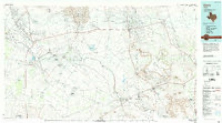
9 topographic sheets cover this place, the earliest surveyed in 1928 and the latest in 1986. It stands in the McCamey census division. It lies in ZIP code area 79752. The Survey maps it on the McCamey North quadrangle. 1,831 people lived here at the 2020 count. It stands 2,467 feet above sea level.
Population over time
2 figuresMcCamey fell from 1,887 to 1,831 between 2010 and 2020. These are the recorded population figures Wikidata holds for this place, reached through the Geographic Names Information System number this page is keyed on rather than by name, so they belong to this place and not to another of the same name. Most are census counts, but not all are: an early figure may be a founding or settlement estimate, and an estimate published within five years of a census is left out. The change column is computed, and is left blank where more than 20 years separate a figure from the one before it, because a gap that long is not a change between two counts.
| Year | People | Change |
|---|---|---|
| 2010 | 1,887 | |
| 2020 | 1,831 | -56 (-3%) |
Topographic sheets covering this place
5 surveys from 9 printed sheetsMatched by testing this settlement's coordinate against the published boundary of every sheet in the United States Geological Survey's historical collection. Each opens the scanned sheet at the Survey.
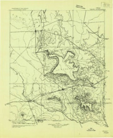
- 1928 USGS Crane quadrangle1:125000
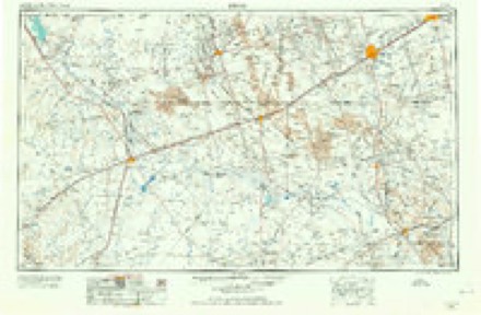
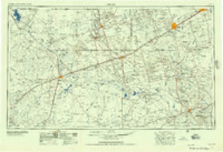
- 1954 USGS Pecos quadrangle1:250000, 3 printings
- 1957 USGS Pecos quadrangle1:250000
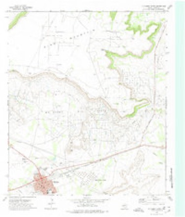
- 1972 USGS McCamey North quadrangle1:24000
- 1986 USGS Crane quadrangle1:100000, 3 printings
Storms near this place
14 since 1993Regional context, not property-specific evidence. The National Weather Service names McCamey in 14 storm reports between 1993 and 1995: 9 hail, 5 thunderstorm wind. No death or injury is recorded in these reports. Each account below is quoted exactly as the forecast office filed it, from the NOAA Storm Events Database, and each date opens the federal record of that event.
| When | Event | Place named | Harm | What the report says |
|---|---|---|---|---|
| May 1994 | Hail | McCamey | $50,000 | no account filed |
| May 1994 | Thunderstorm Wind | McCamey | $50,000 | no account filed |
| April 1993 | Thunderstorm Wind | McCamey | $5,000 | Lightning struck an oil tank battery in southwestern Upton County, resulting in signifcant damge to the tanks. Golf ball-size hail damaged a vehicle east of McCamey, and downburst winds blew a tree into a pickup truck northeast of McCamey. |
| April 1993 | Hail | McCamey | $5,000 | Lightning struck an oil tank battery in southwestern Upton County, resulting in signifcant damge to the tanks. Golf ball-size hail damaged a vehicle east of McCamey, and downburst winds blew a tree into a pickup truck northeast of McCamey. |
| October 1995 | Hail | McCamey | - | A thunderstorm that developed over northwestern Pecos County became severe as it approached the Pecos River from the southwest, dropping golf ball-size hail on Imperial and three-quarters inch hail in the southeast corner of Ward County. As the storm crossed the Pecos River it showed signs of becoming a supercell and began to turn right of its previous path. In Crane County, large hail was reported all during its path. In the city of Crane, golf ball-size hail was reported and strong winds blew the roof off the Big Deal Burrito Restaurant. Three miles east of the city, power lines were blown down. Baseball-size hail was reported in extreme western Upton County as the storm continued to the east. The storm then continued across open country into Reagan County where no further reports were received. As the supercell was moving through Crane County, a storm in the northern part of the state of Coahuila, Mexico split, with the left-mover racing northward across the Rio Grande into south-central Terrell County. A ranch north of Dryden reported golf ball-size hail as the storm continued to the north. Later along the path, three-quarters inch hail was reported at a natural gas plant. |
| October 1995 | Hail | McCamey | - | From the storms already present, a line began to form in a north-northeast to south-southwest orientation. One cell was briefly severe as one inch diameter hail fell at McCamey. |
| June 1995 | Thunderstorm Wind | McCamey | - | Reported by the sheriff's office. |
| May 1995 | Thunderstorm Wind | McCamey | - | Sheriff's office reported 60 mph winds town. |
| May 1995 | Hail | McCamey | - | Reports from the sheriff's office. |
| June 1995 | Hail | McCamey | - | Reported by sheriff's office. |
| May 1993 | Thunderstorm Wind | McCamey | - | A large thunderstorm complex moved across Crane and Upton counties. The storms produced intermittent golf ball-size hail in Crane. Dime size-hail and wind gusts to 80 miles an hour were reported east of Crane and north of McCamey, and Highway 329 was closed due to flooding. The reports were from various law enforcement agencies. Only minor damage was reported. |
| May 1993 | Hail | McCamey | - | A SKYWARN spotter reported dime-size hail northwest of McCamey. |
| May 1994 | Hail | McCamey | - | no account filed |
| May 1994 | Hail | McCamey | - | no account filed |
Nearest settlements
The eight closest, with where each one stands in the county. Distances are straight-line, computed from the Geographic Names Information System coordinates.
| Map | Place | Distance | Sheets |
|---|---|---|---|
| Rankin | 16.3 miles | 8 | |
| Sevenmile Corner | 19.7 miles | 8 | |
| Flat Rock | 20.8 miles | 7 | |
| Midkiff | 39.9 miles | 8 |
Elsewhere
Matched on this settlement's Geographic Names Information System number rather than its name, so it cannot be a different place of the same name in another state.
| Wikipedia article on McCamey | An encyclopaedic summary. Its text is share-alike, so it is linked here rather than copied. |
| Wikidata item Q982205 | The structured record the population and elevation above come from. Public domain (CC0). |
Provenance
This settlement is recorded in the Geographic Names Information System as feature 1362369. The sheet list is computed by point-in-boundary test against the United States Geological Survey's historical topographic inventory. Both are works of the United States government and carry no copyright under 17 U.S.C. 105.
Storms. NOAA National Centers for Environmental Information, Storm Events Database https://www.ncei.noaa.gov/stormevents/ A work of the United States government, no copyright under 17 U.S.C. 105. Narratives are quoted verbatim from the National Weather Service report and are not edited or summarised.