 Block
BlockFrom the record
4 National Register listings published here.
Sources: the National Register database, National Park Service
48 topographic sheets cover 33 settlements here, and 4 properties are on the National Register of Historic Places.
4 National Register listings published here.
Sources: the National Register database, National Park Service
Every property in this county listed on the National Register of Historic Places, with the year it was listed and the federal nomination document.
| Photograph | Property | Type | Listed | Reference |
|---|---|---|---|---|
| Cassinelli Gin House | building | 1986 | 86002188 | |
| Del Rio Cemeteries Historic District | district | 2003 | 03000664 | |
| Southern Pacific Passenger Depot | building | 2026 | 100012685 | |
 | Val Verde County Courthouse And Jail | building | 1977 | 77001478 |
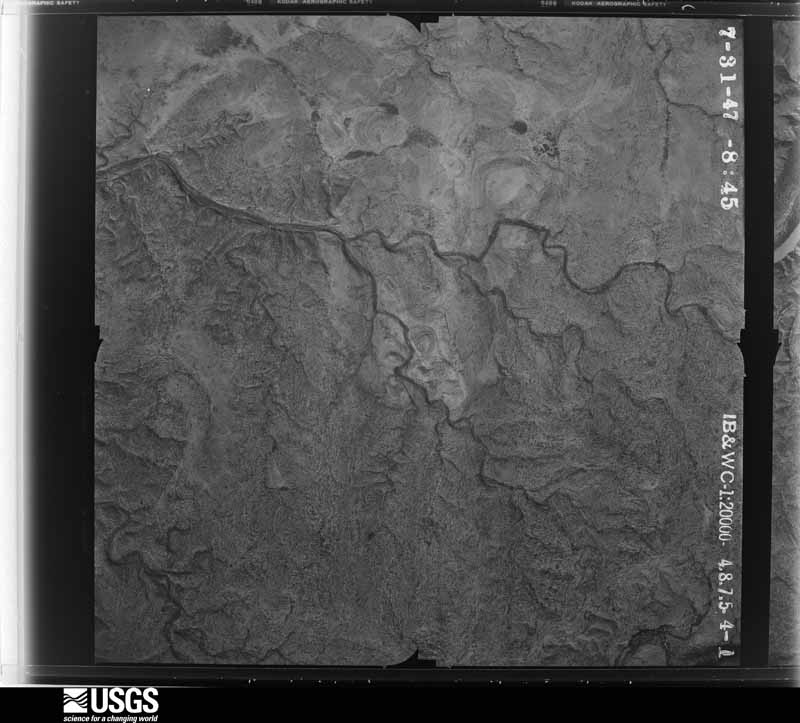
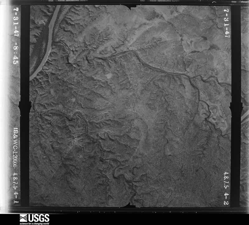
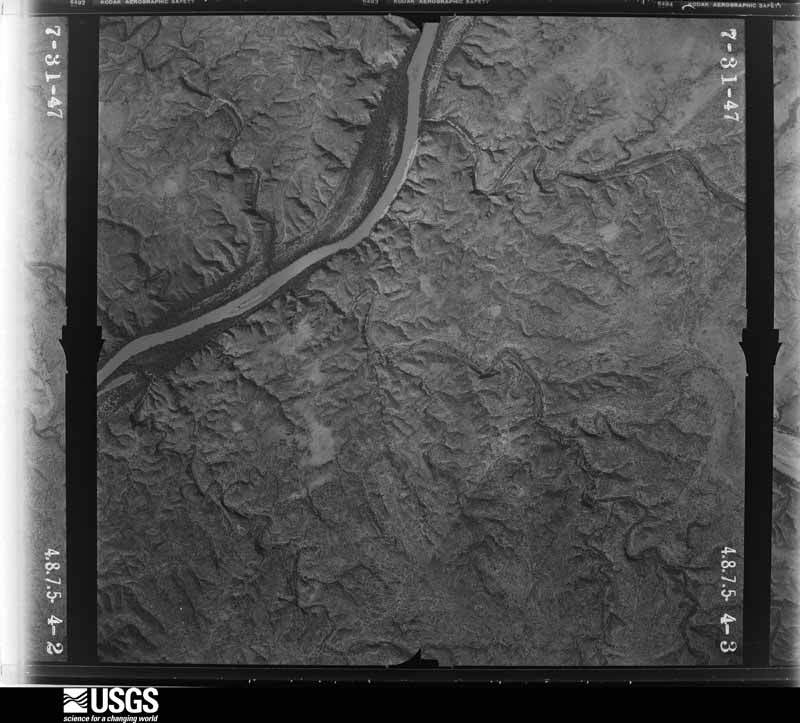
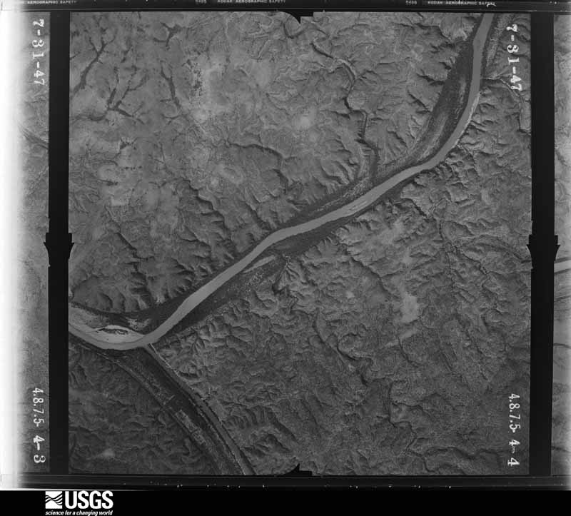
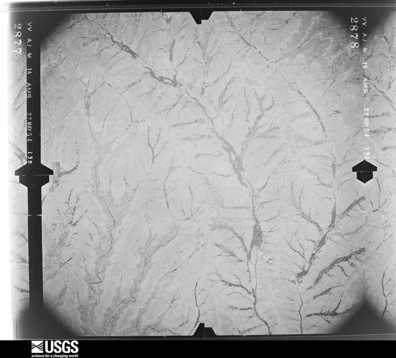
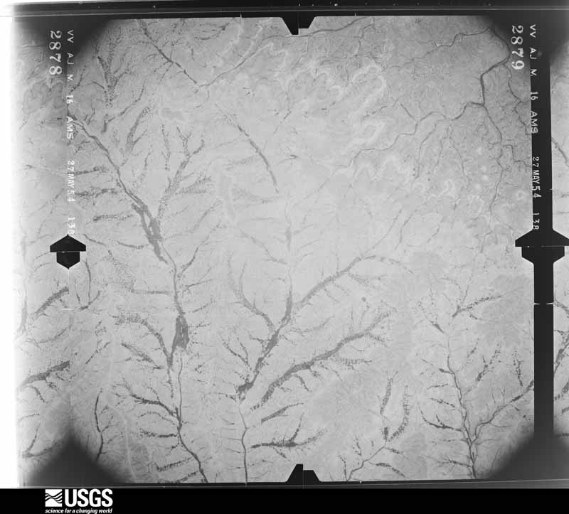
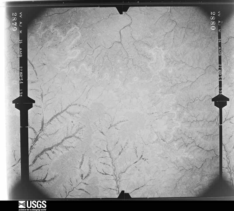
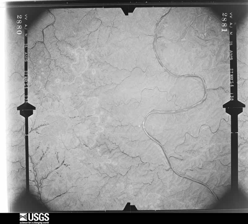
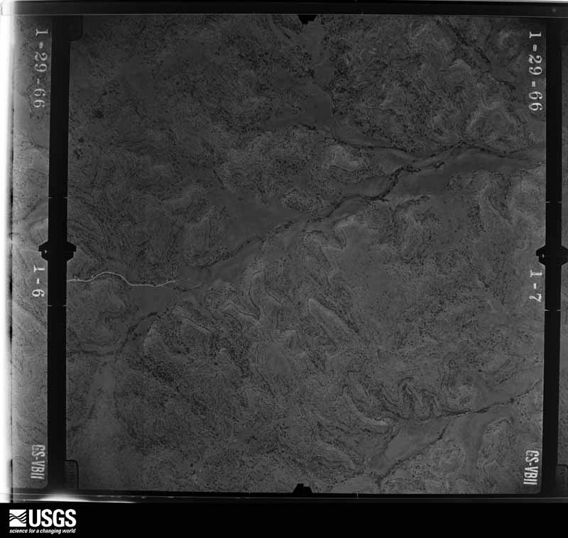
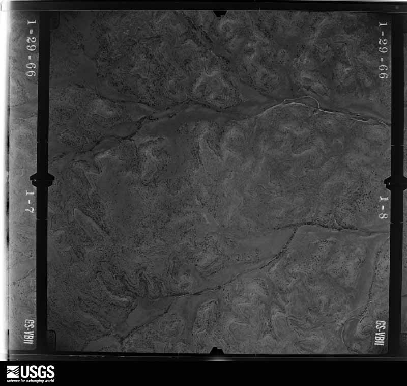
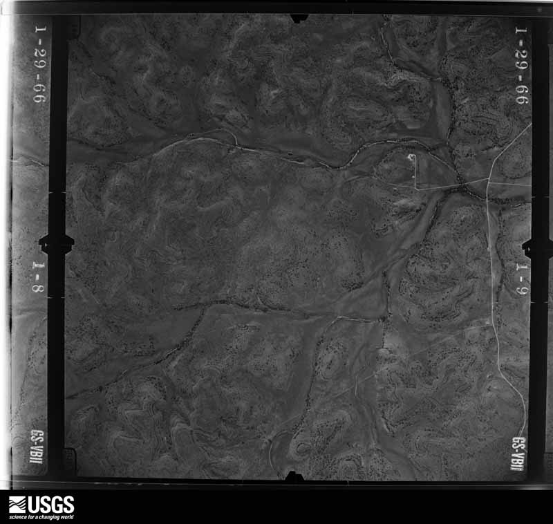
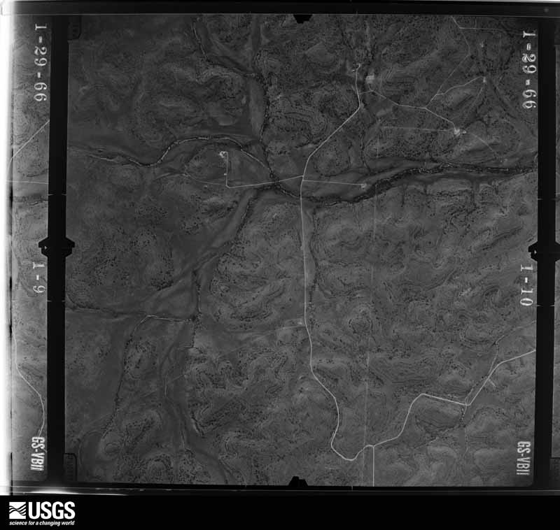
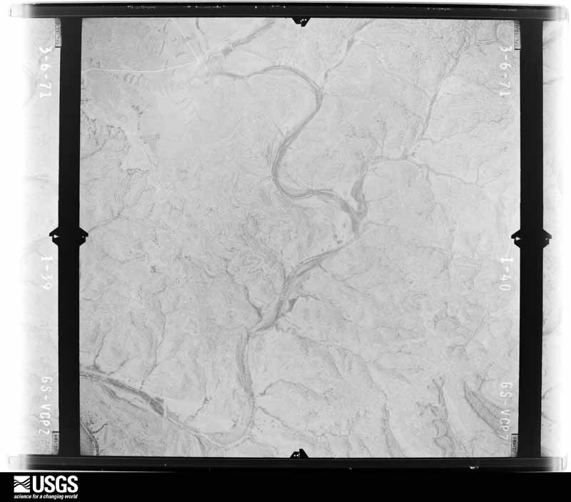
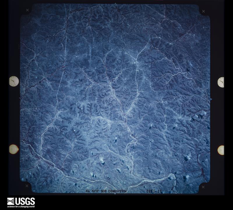
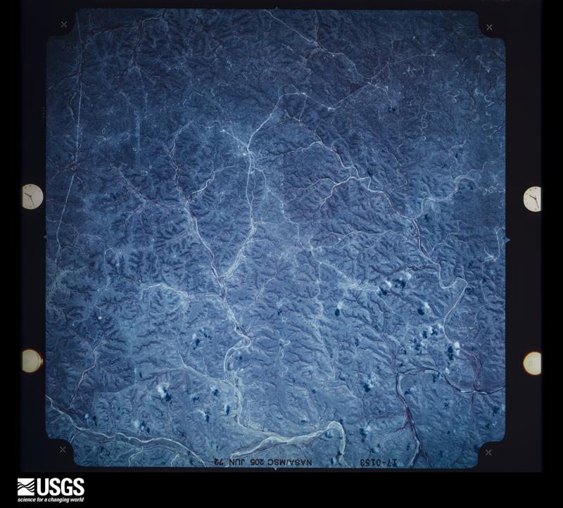
Flown by the U.S. Geological Survey between 1937 and 1989, the Aerial Photo Single Frames collection is the definitive mid-century view of the land: fields, roads and rivers as the camera saw them. The Survey holds 3,924 frames inside the rectangle that bounds this county; the 48 frames below were taken over the county itself, chosen across the decades of flights (at most four a year from that rectangle), so one flight cannot crowd out the rest. The full set is free to browse and download at EarthExplorer under the dataset Aerial Photo Single Frames.
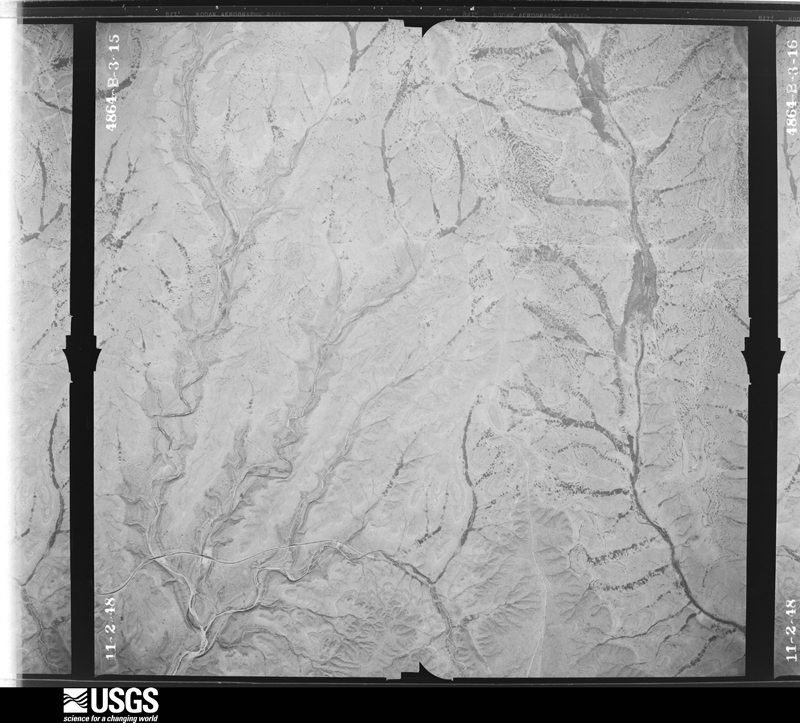
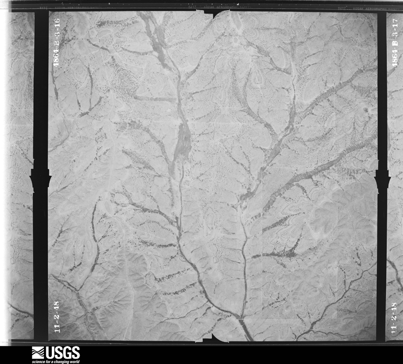
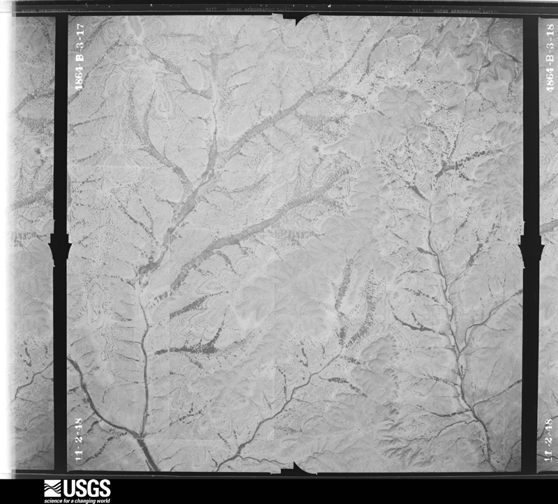
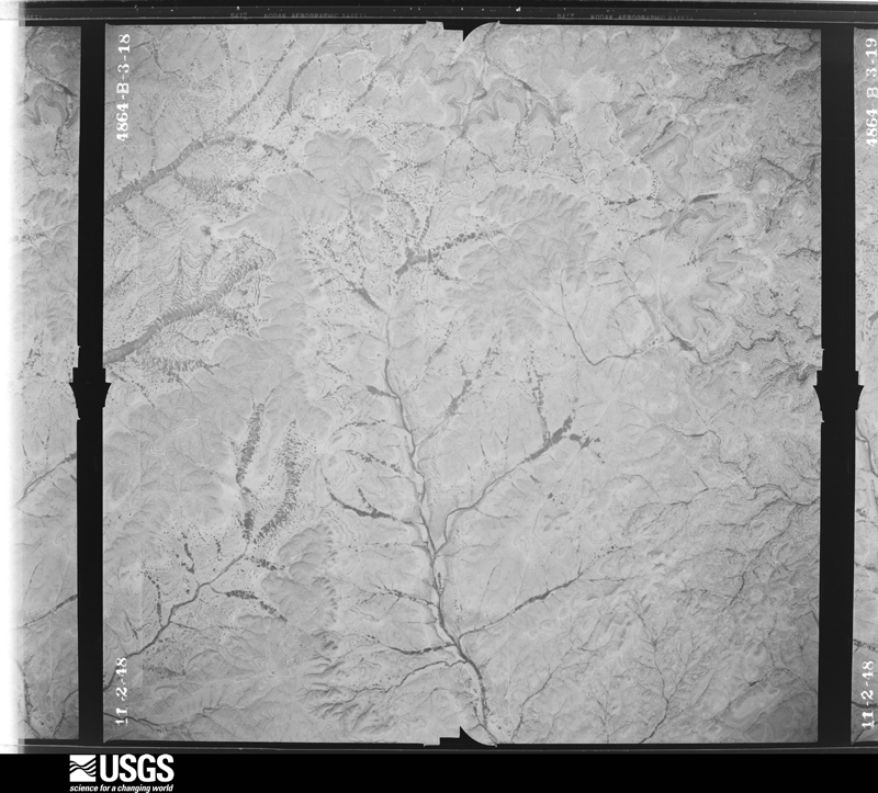
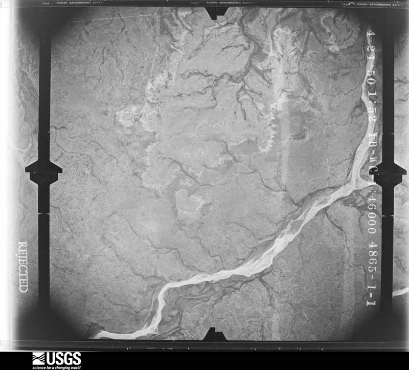
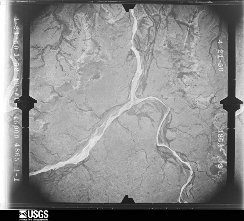
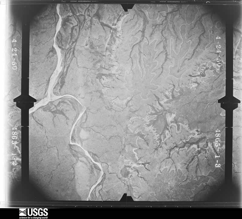
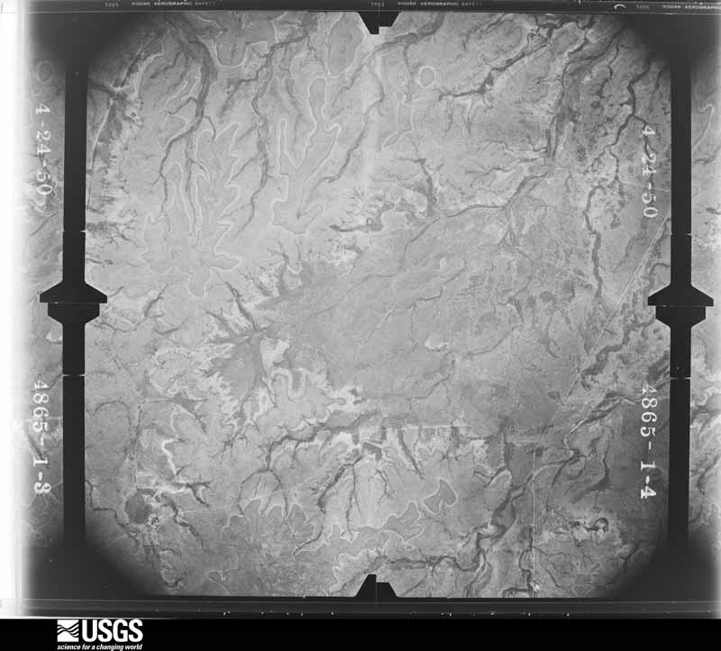
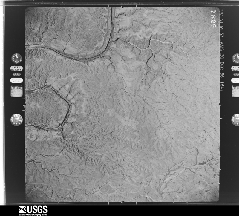
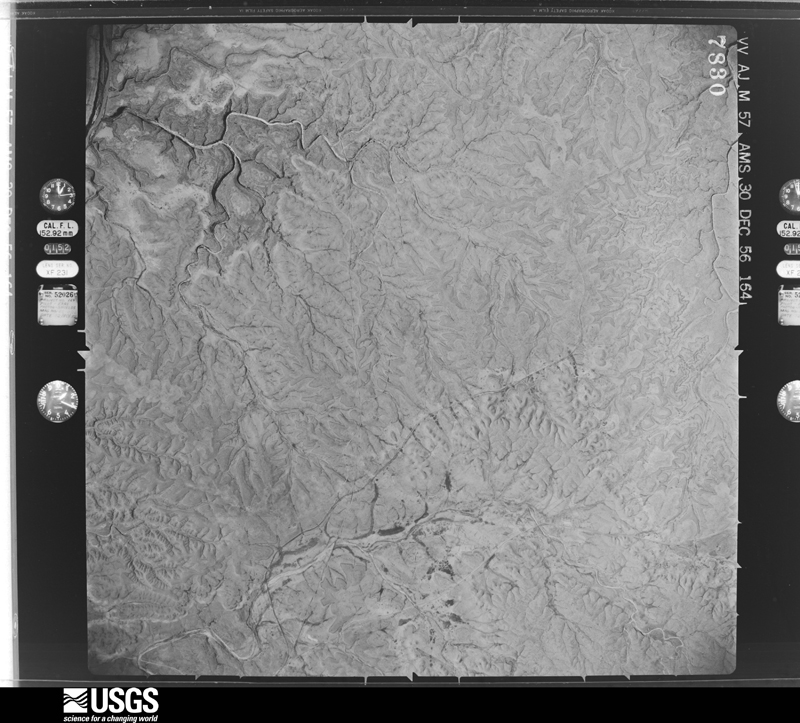
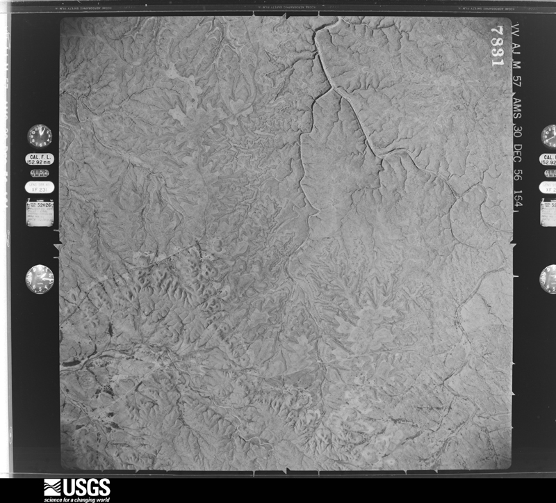
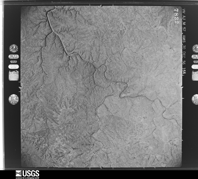
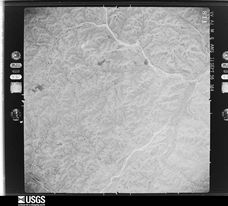
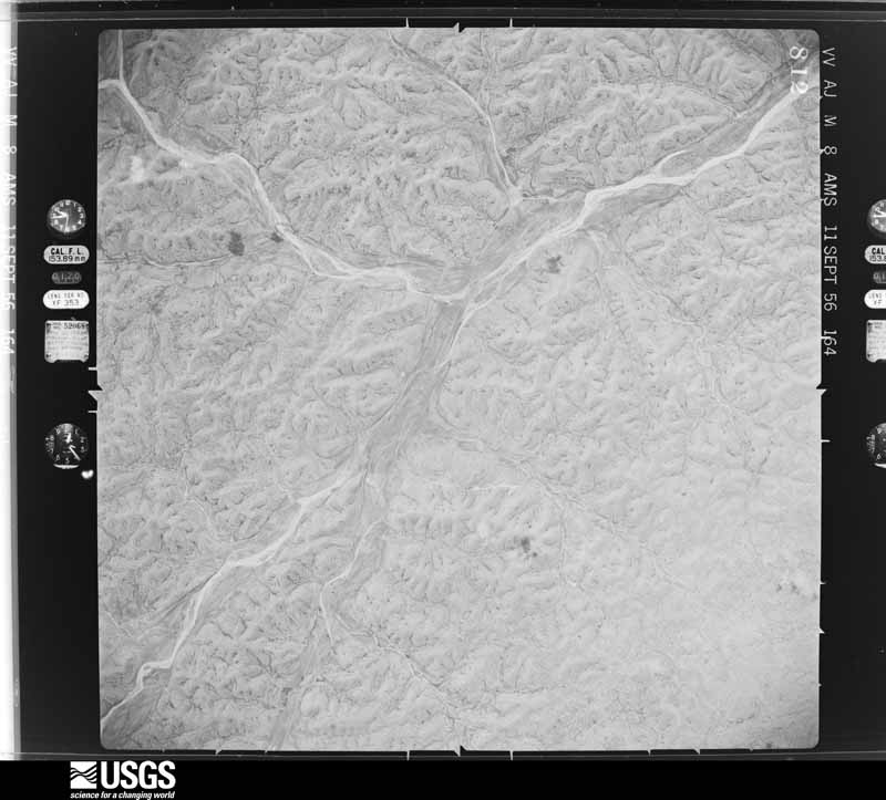
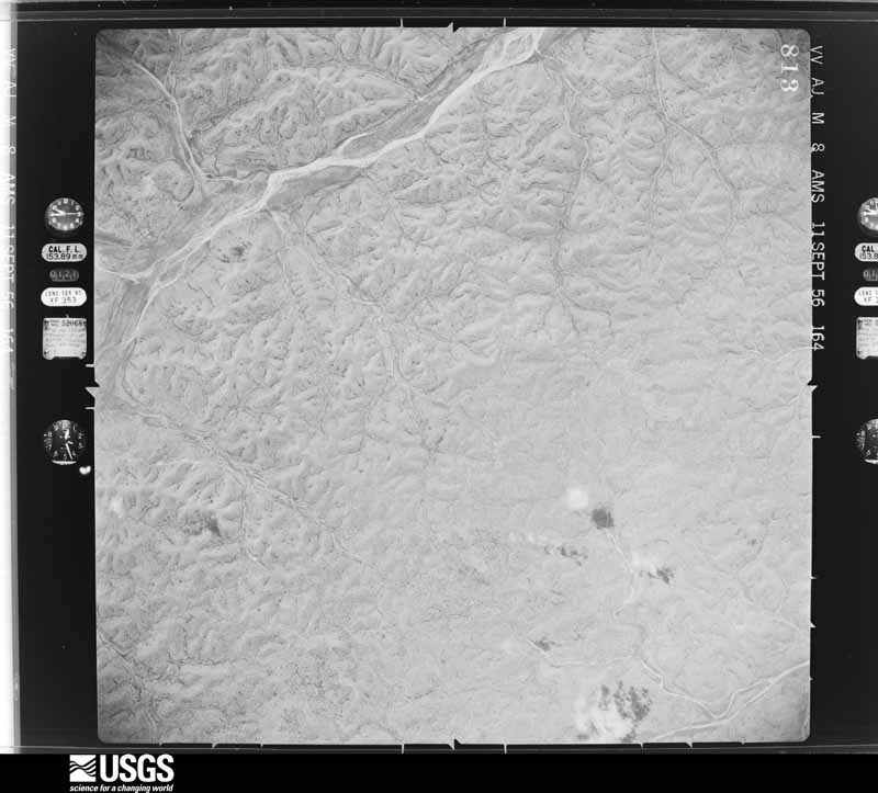
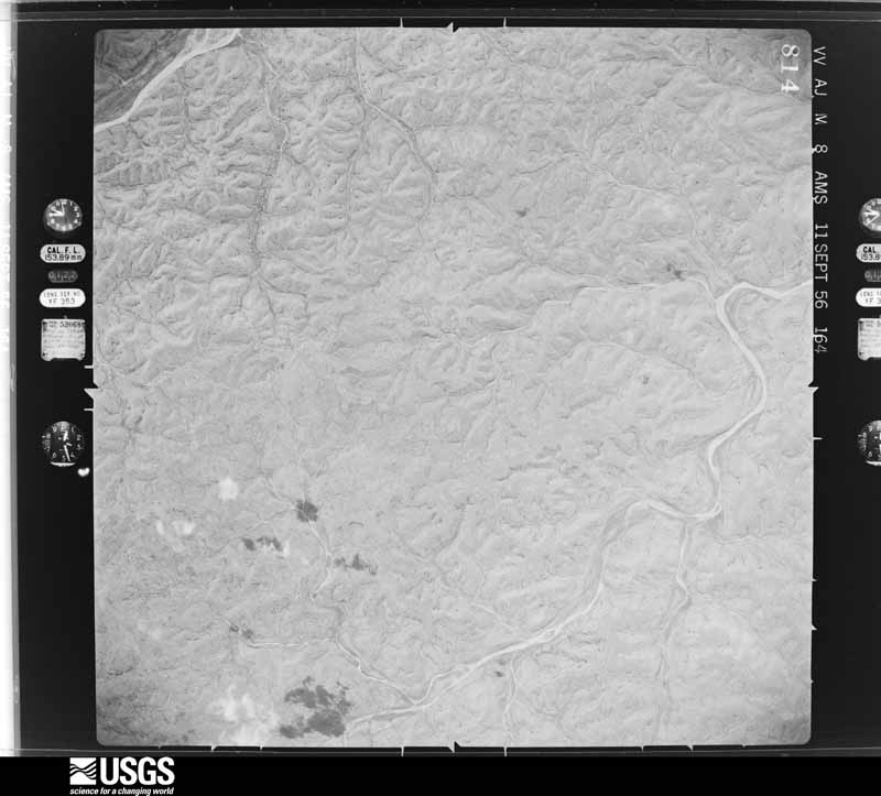
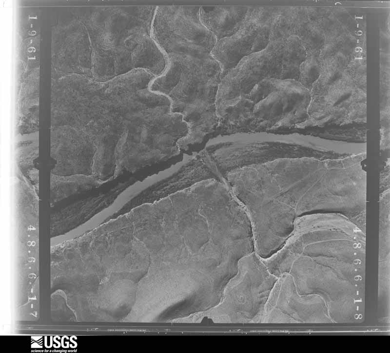
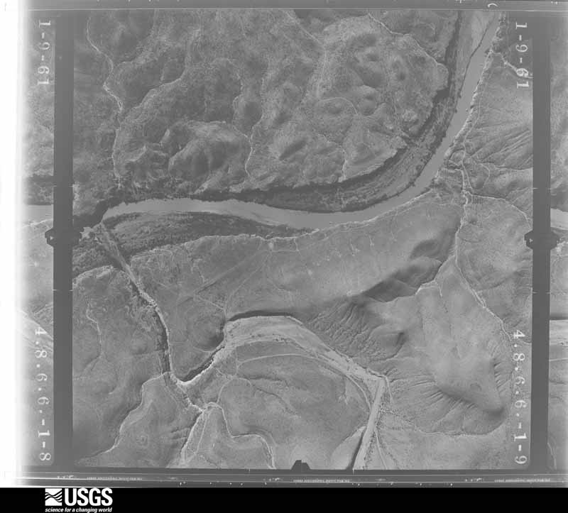
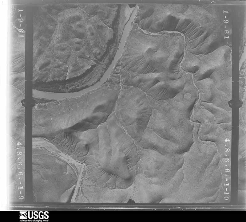
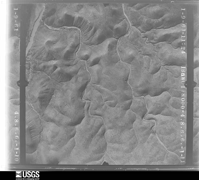
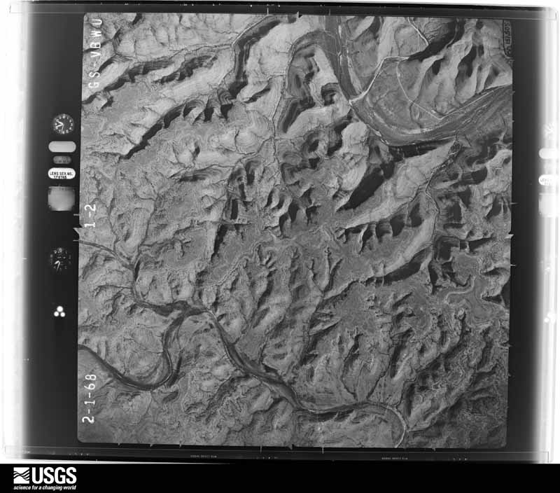
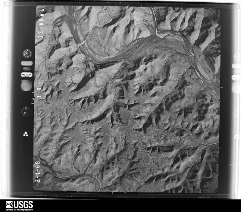
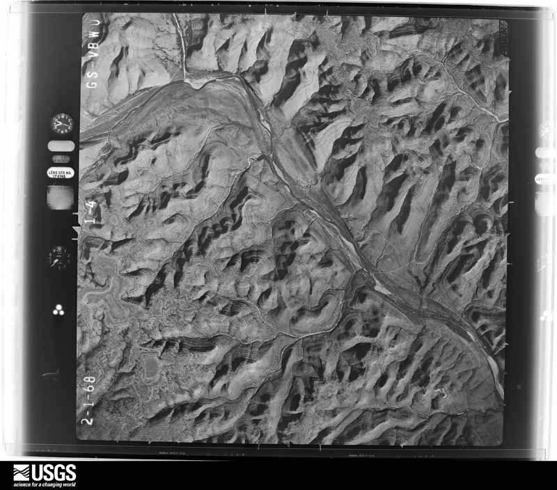
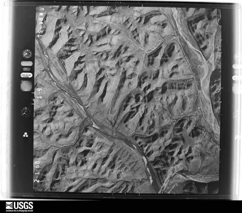
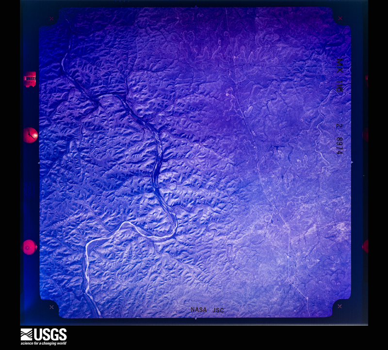

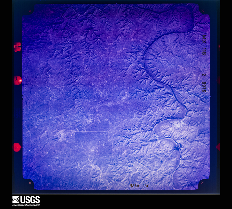
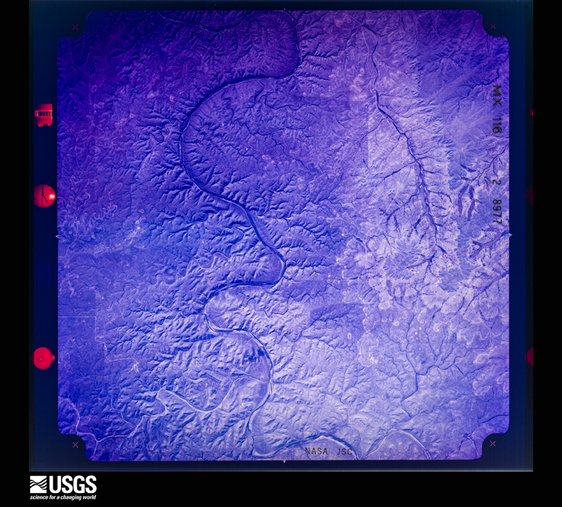
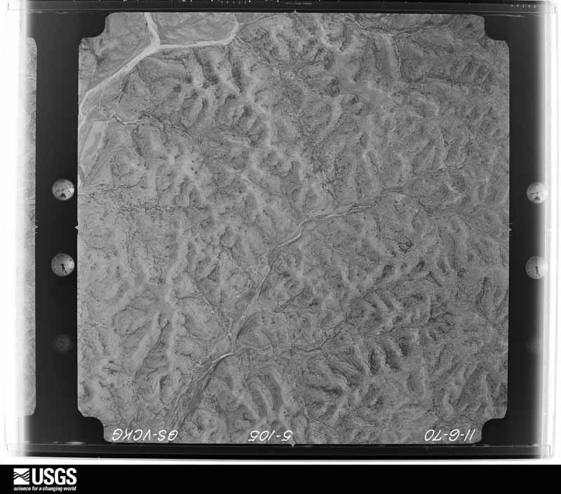
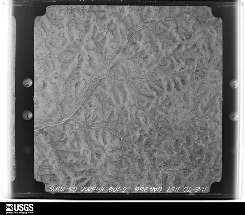
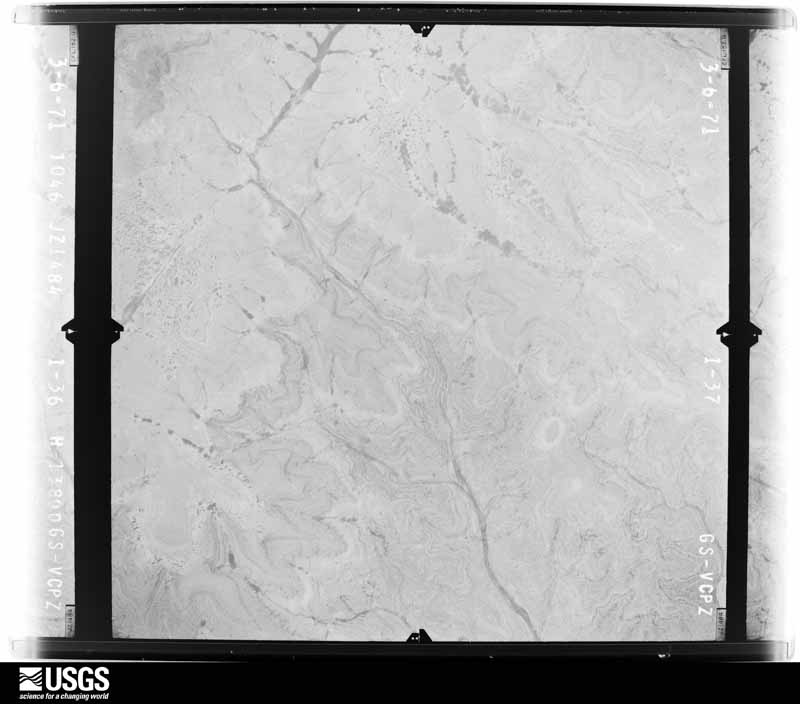
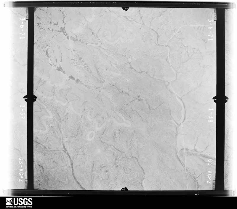
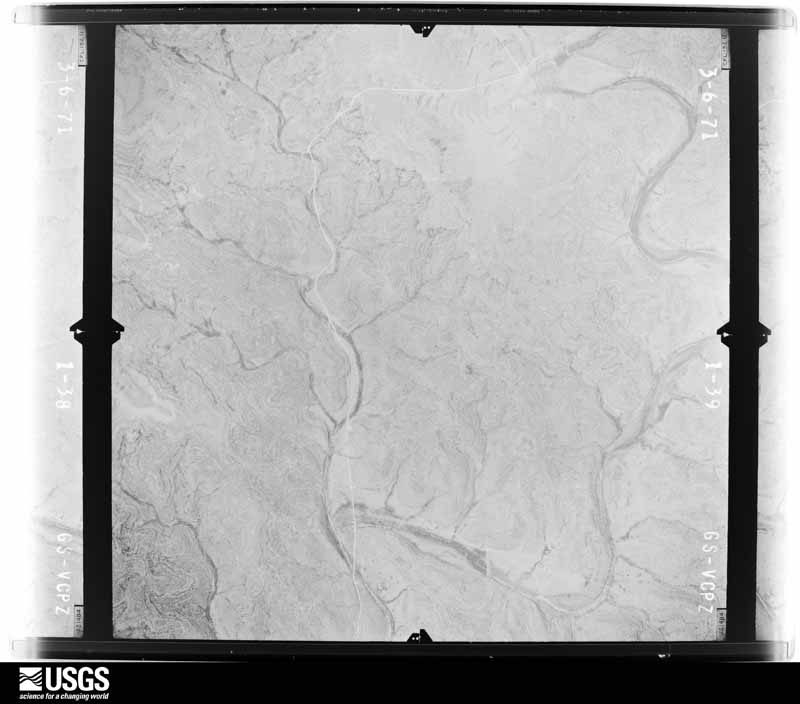
The thermometers that kept this county's weather, and the gages that measured the flow of its streams, as the federal records hold them. The extremes below are measured values from those records, not estimates.
Who lived here in 1950, one enumeration district at a time, as the Census Bureau described each district. Each row opens its official National Archives result, with Population Schedules and ED Maps available there.
Every wildfire the federal occurrence database records inside this county: 186 of them, burning about 224,695 acres. 40 started naturally and 5 were recorded as arson. Each settlement page carries the fires within five miles of it.
| Reported cause | Fires |
|---|---|
| Missing data/not specified/undetermined | 74 |
| Natural | 40 |
| Equipment and vehicle use | 18 |
| Recreation and ceremony | 15 |
| Debris and open burning | 9 |
| Fireworks | 8 |
| Smoking | 7 |
| Railroad operations and maintenance | 6 |
| Arson/incendiarism | 5 |
| Misuse of fire by a minor | 3 |
| Power generation/transmission/distribution | 1 |
The five largest, by the area the report gives. None of them was recorded as arson.
| Date | Cause | Size | Reported by | Name on the report |
|---|---|---|---|---|
| 25 April 2011 | Missing data/not specified/undetermined | 175,000 acres | Texas A & M Forest Service | DEATON COLE FIRE |
| 27 April 2014 | Debris and open burning | 14,987 acres | Texas A & M Forest Service | MALONE FIRE |
| 14 March 2008 | Missing data/not specified/undetermined | 6,000 acres | Texas A & M Forest Service | MACY |
| 14 August 2015 | Natural | 3,000 acres | Texas A & M Forest Service | WEST |
| 25 February 2011 | Debris and open burning | 1,750 acres | Texas A & M Forest Service | WHITEHEAD #1 |
| 21 July 2009 | Natural | 1,536 acres | Texas A & M Forest Service | BEAVER LAKE RANCH |
| 16 February 2011 | Missing data/not specified/undetermined | 1,500 acres | Texas A & M Forest Service | WHITE FIELDS |
| 21 February 2014 | Missing data/not specified/undetermined | 1,500 acres | Texas A & M Forest Service | MOODY FIRE |
Every settlement page carries the fires within five miles of it - see the settlement index below.
The NOAA Storm Events Database holds 705 reports for this county, causing 9 deaths, 196 injuries and about $70,855,310 in recorded property damage. Each settlement page carries the reports that name it.
| Kind of event | Reports |
|---|---|
| Hail | 322 |
| Thunderstorm Wind | 196 |
| Flash Flood | 129 |
| Tornado | 45 |
| Flood | 11 |
| Funnel Cloud | 2 |
The most serious of them, by death, then injury, then recorded damage. The accounts are quoted exactly as the forecast office filed them.
| When | Event | Place named | Harm | What the report says |
|---|---|---|---|---|
| August 1998 | Flash Flood | Countywide | 9 killed, 150 hurt, $40,000,000 | no account filed |
| May 1995 | Tornado (F2) | Del Rio | 22 hurt, $250,000 | The tornado was first spotted by public and later confirmed by the sheriff and a spotter. It caused only minor damage. It was the larger of the two tornadoes that formed that evening. Residents near the tornado reported hail the size of a quarter before the tornado arrived, then hearing a "freight train" type of sound as it touched down. It damaged boats and trailers in the Lake Amistad area, then passed across rural subdivisions, damaging several mobile homes and houses and injuring nearly two dozen people. Two people in a pop-up trailer were injured shortly afterward as a strong thunderstorm gust blew the trailer into a tree. A second tornado was spotted shortly afterward behind the mall. The two tornadoes knocked down about a dozen power poles. |
| August 1998 | Flash Flood | North Portion | 5 hurt, $20,000 | no account filed |
| October 1993 | Tornado (F1) | Del Rio | 4 hurt, $500,000 | Two tornados were reported in the south part of the County, and large hail reports were made from across the County. The first tornado moved through the southeast part of Del Rio, causing widespread minor damage to the area. The second tornado moved through the Val Verde Estates area of Del Rio. Several mobile homes were destroyed and damaged, four persons had minor injuries. |
| April 2002 | Hail | Del Rio | 3 hurt, $500,000 | Large hail, propelled by winds estimated at 50 to 60 mph, destroyed street signs, dented automobiles, and knocked out windows of vehicles, homes and businesses across Del Rio. Hundreds of automobiles lost windshields and were severely dented. Three people were treated for minor injuries after being struck by the large hail. |
| March 1987 | Hail | not stated | 3 hurt | no account filed |
| September 1988 | Tornado (F2) | not stated | 2 hurt, $2,500,000 | no account filed |
| May 1982 | Tornado (F2) | not stated | 2 hurt, $2,500,000 | no account filed |
| February 1997 | Flash Flood | Countwide | 2 hurt, $50,000 | no account filed |
| May 1995 | Thunderstorm Wind | Del Rio | 2 hurt | The tornado was first spotted by public and later confirmed by the sheriff and a spotter. It caused only minor damage. It was the larger of the two tornadoes that formed that evening. Residents near the tornado reported hail the size of a quarter before the tornado arrived, then hearing a "freight train" type of sound as it touched down. It damaged boats and trailers in the Lake Amistad area, then passed across rural subdivisions, damaging several mobile homes and houses and injuring nearly two dozen people. Two people in a pop-up trailer were injured shortly afterward as a strong thunderstorm gust blew the trailer into a tree. A second tornado was spotted shortly afterward behind the mall. The two tornadoes knocked down about a dozen power poles. |
| May 1989 | Tornado (F1) | not stated | 1 hurt, $2,500,000 | no account filed |
| April 2020 | Hail | Del Rio | $10,000,000 | A thunderstorm produced four inch diameter hail in Del Rio. The large hail that hit the City of Del Rio likely caused in excess of 10 million dollars in damage but as of this writing do not have an accurate estimate of damage from city/county/state officials or private insurance companies. |
| May 1995 | Hail | NWS Del Rio | $6,600,000 | Damage was reported to over 1,400 vehicles and to more than 2,200 homes and businesses in the Del Rio area. |
| September 2008 | Flood | Del Rio | $1,000,000 | Water releases from an upstream reservoir in Mexico caused flooding along the Rio Grande in Del Rio. Vega Verde Road and several properties along the road were flooded. Evacutions did occur in order to get residents out of the area as roads became inundated and impassable. |
| May 2004 | Hail | Del Rio | $500,000 | The second supercell storm struck near 635 pm to the northwest of Del Rio near the Los Campos subdivision. This is west of US 90 and south of Amistad Dam. Spotters reported that rain and hail struck first, followed by high winds. Hail varied in size with some as large as softballs and with winds estimated at over 70 mph. Damage in this part of Del Rio was the worst in the area, consisting of broken windows, dented home exteriors, torn roofs, damaged fences, large trees limbs blown down, trees knocked over, vehicles dented with broken windshields, and livestock injured and killed. In spite of the considerable damage, the amount of damage in dollars will still likely be less than the massive hailstorm suffered by Del Rio in April of 2002. |
| June 1994 | Thunderstorm Wind | Del Rio | $500,000 | A second thunderstorm developed from the remains of the first storm that had struck Val Verde County. At 1615 CST, a Val Verde Sheriff's Department spotter reported small tornado six miles south of Del Rio. It was very small and short lived. No damage was noted as the area was later searched. Shortly afterward, winds blew a 120-foot by 25-foot section of metal roof off the La Paloma Shopping Center. The roof was blown some 90 feet and landed on eight automobiles in the parking lot of the shopping center. Additional damage was reported to the roof of a church in Del Rio. |
| April 1993 | Hail | Del Rio | $500,000 | A National Park Service Ranger and the sheriff's office reported tennis ball-size hail in the Spur 406 Campgrounds on the West side of Lake Amistad. A Park Ranger also reported 3.00-inch hail in the San Pedro Canyon Estates, northwest of Del Rio. An estimated $112,000 dollars in damage was reported to home in the area. The sheriff's office reported golf ball-size hail covering the ground on Highway 277 north of Del Rio. |
| May 1982 | Tornado (F2) | not stated | $250,000 | no account filed |
| May 1982 | Tornado (F1) | not stated | $250,000 | no account filed |
| May 1982 | Tornado (F1) | not stated | $250,000 | no account filed |
| April 2002 | Thunderstorm Wind | Del Rio | $200,000 | The supercell thunderstorm that produced downbursts and large hail in Del Rio formed in Mexico and moved eastward into Val Verde County. The severe thunderstorm winds struck first, knocking over trees and signs and damaging roofs in and around Del Rio. |
| May 2010 | Flash Flood | Del Rio | $100,000 | Thunderstorms produced heavy rain which flooded some homes in Del Rio. |
| April 2007 | Tornado (EF0) | Del Rio | $100,000 | A deputy from the Sheriff's Department watched as a rope-shaped tornado lifted up and dropped down as it skipped along a path approximately one mile long just east of the city of Del Rio at the Val Verde Park Estates. The tornado caused minor damage to ten homes and mobile homes. It also knocked over telephone poles and tossed outbuildings along its path. |
| May 2003 | Flash Flood | South Portion | $80,000 | Heavy rain began falling over southern Val Verde County early on the morning of May 27. The rain continued through the morning, with reports from the city of Del Rio of accumulations approaching 6 inches by 8 am CST. An additional 2.5 inches of rain fell over the Del Rio area between 8 am and 2 pm. As a result of the rainfall, county roads flooded across the southern third of the county. Some of the worst flooding occurred in and around the city of Del Rio, where 11 people were evacuated to shelter at the Civic Center as water threatened to enter their homes. Many students were unable to get to their schools that morning. Others who had reached their schools were dismissed early as soon as a temporary break in the heavy rainfall occurred. Law enforcement officials guarded the most dangerous low water crossings through the morning and mid afternoon. This rainfall set a record for the month of May. |
| June 1997 | Flash Flood | Del Rio | $80,000 | no account filed |
| May 2004 | Hail | Comstock | $75,000 | The first supercell began to produce severe weather near 6 pm in Comstock. The combination of large hail and damaging winds broke windows in nearly every home and vehicle in Comstock. In addition, the hail caused widespread minor roof damage. One house had major roof damage. As this supercell thunderstorm began to move to the east-northeast...a second supercell thunderstorm formed to its southwest and began to move toward the city of Del Rio. |
| April 2022 | Thunderstorm Wind | Amistad Res East | $50,000 | A thunderstorm produced a wind gust measured at 58 mph. The wind tore a 10 foot by 20 foot section of roof off a house that damaged power lines resulting in a power outage on the south shore of Lake Amistad. |
| May 2018 | Tornado (EF0) | Pandale Mills Arpt | $50,000 | A weak tornado moved through a hunting camp in north central Val Verde County. It damaged some 5th wheel campers and knocked down power lines. The storm moved off to the north bringing down more power lines, but no poles. The strongest winds were estimated at 75 mph that caused EF0 damage. The tornado crossed into southern Crockett County before dissipating. |
| June 2014 | Flash Flood | Langtry | $50,000 | Coop Observer reported roads flooded around Langtry. Portions of the Judge Roy Bean Visitor Center sustained heavy water damage from a leaking roof after getting nearly 12 inches of rain in only a few hours. |
| May 2010 | Thunderstorm Wind | Amistad Res East | $50,000 | A thunderstorm produced an estimated wind gust of 60 mph which overturned a boat on Lake Amistad near Tank Canyon. |
| August 2007 | Flash Flood | Langtry | $50,000 | Showers and thunderstorms associated with Erin spread across the northwest half of Val Verde County in the mid-afternoon. Rain totals averaged between 3 and 4 inches with up to 8 inches east of Juno and around Pandale. Flash flooding began in the evening and continued through midnight into the early morning hours. SH163, FM189, and FM1024 were reported closed due to high water. |
| May 2004 | Tornado (F1) | Del Rio | $50,000 | Shortly after the severe winds and hail, the first and most powerful of several tornadoes struck. It was observed by the Val Verde County Emergency Manager as it touched down near 640 pm south of Amistad Lake along Holdup Pass, approximately one mile south of US 90. The tornado, rated F1on the Fujita scale, was about 100 yards wide. It first moved eastward destroying the roof of a home and tossing the debris over one-quarter mile along its path. Occupants of the home had found shelter in their interior closet and were uninjured in spite of considerable damage to the home and the surrounding area. After tracking eastward for one mile the tornado turned 45 degrees to the right and tracked along mostly open country for almost 3 more miles. Along the route it tore down power poles, leveled vegetation, damaged roofs and broke windows. It then lifted and dissipated |
| October 2003 | Flash Flood | East Portion | $50,000 | Showers and thunderstorms moving across the county from mid morning through the late evening produced general 2 to 3 inch totals over the eastern half of the county. Isolated totals to 5 inches were indicated near Del Rio. Roads in and around low water crossings were closed from the late morning into the mid and late afternoon over the northeast part of the county. Roads in and around the Del Rio area were closed from noon through midnight. Damages were generally confined to roads and bridges. |
| June 2002 | Flash Flood | Del Rio | $50,000 | Rainfall of up to 4 inches in less than 2 hours caused flash flooding across the city of Del Rio. The Sheriff's Department reported numerous low water crossings flooded in the city. |
| October 2002 | Flash Flood | South Portion | $50,000 | Scattered thunderstorms from the late evening of October 7 into the morning of October 8 produced widespread 1 to 2 inch rainfall with isolated totals to 6 inches from below Amistad Dam into the Del Rio area. The Val Verde Sheriff's Department reported flash flooding across numerous roads south and east of Amistad Dam. The flash flooding continued into the morning hours. |
| March 2000 | Tornado (F1) | Del Rio | $50,000 | A small tornado was produced by a supercell storm that had formed in Mexico and moved northeastward into the U.S. The tornado destroyed a small barn, overturned trailers and killed several cattle. The report was made simultaneously by a rancher and a park ranger. |
| February 1998 | Thunderstorm Wind | Comstock | $50,000 | A severe downburst destroyed a building east of Comstock, also damaging trees and vegetation in the area. |
| June 1994 | Thunderstorm Wind | Comstock | $50,000 | Storm produced winds estimated at over 60 mph at Mayfield. It blew over a small building that had been anchored in the ground. At Comstock, winds estimated at over 60 mph blew down numerous power lines. |
| April 1994 | Hail | Laughlin Air Force Ba | $50,000 | DPS trooper reported hail from 0.75- to 1-inch in diameter falling along highway 90 E just eas of the Laughlin Air Force Base front gate. Two VIP 6 storms had merged just east of the base about 1500 CST. |
| June 1994 | Thunderstorm Wind | Del Rio | $50,000 | At 1550 CST the roof of a barn and a car shed was blown off in northern Val Verde County. At almost the same time, wind gusts to 66 knots were recorded at Rough Canyon at Lake Amistad. The storm then dissipated very quickly. |
| April 1994 | Hail | Langtry | $50,000 | Thunderstorms that formed along a cold front moved southeastward across Val Verde County, producing widespread heavy rain and hail. Golf ball-sized hail fell southwest of Laughlin Air Force Base, along with very heavy rainfall. The hail was reported to be two inches deep. At 1658 CST, softball-sized hail was spotted just east of Langtry. A funnel cloud was sighted 12 miles south of Pandale by a deputy sheriff. At the same time, a funnel cloud was reported 10 miles northwest of Comstock by a deputy sheriff. Laughlin Air Force Base weather personnel reported funnel clouds over the base as well. |
| October 1993 | Tornado (F1) | Del Rio | $50,000 | Two tornados were reported in the south part of the County, and large hail reports were made from across the County. The first tornado moved through the southeast part of Del Rio, causing widespread minor damage to the area. The second tornado moved through the Val Verde Estates area of Del Rio. Several mobile homes were destroyed and damaged, four persons had minor injuries. |
| June 1997 | Thunderstorm Wind | Del Rio | $50,000 | no account filed |
| July 2003 | Thunderstorm Wind | Del Rio | $40,000 | Downburst winds from the line of thunderstorms flipped over a trailer at Del Rio. The trailer was located in the south part of the city near the Rio Grande. |
| September 1996 | Thunderstorm Wind | Countywide | $40,000 | no account filed |
| April 2025 | Thunderstorm Wind | (Drt)Del Rio Intl Ar | $25,000 | A thunderstorm produced wind gusts estimated at 65 mph. The wind damaged the roofs of several buildings at an apartment complex, peeled sheet metal off another structure, and downed a tree. The damage was near Del Rio High School along Memorial Dr. and Avondale St. |
| May 2004 | Thunderstorm Wind | Comstock | $25,000 | no account filed |
| October 2000 | Flash Flood | Southeast Portion | $25,000 | no account filed |
| July 1991 | Tornado (F0) | not stated | $25,000 | no account filed |
| September 1988 | Tornado (F0) | not stated | $25,000 | no account filed |
| May 1982 | Tornado (F1) | not stated | $25,000 | no account filed |
| April 2020 | Thunderstorm Wind | Amistad Res East | $20,000 | A thunderstorm produced wind gusts estimated at 70 mph that knocked down power poles near Salem Point on Lake Amistad. |
| June 2003 | Thunderstorm Wind | Amistad Res East | $20,000 | Severe thunderstorm wind gusts estimated at 55 knots blew down trees at Lake Amistad. |
| September 2003 | Thunderstorm Wind | Del Rio | $20,000 | The Val Verde County Sheriff's Department reported power lines blown down by severe thunderstorm winds estimated at 60 knots in the southern part of Del Rio. |
| March 2000 | Hail | Del Rio | $20,000 | no account filed |
| March 1998 | Flash Flood | North Portion | $15,000 | Hwy 163 near Baker's Crossing was flooded for over an hour as over 3 inches of rain had fallen upstream within the past hour. |
| May 1997 | Flash Flood | Countywide | $15,000 | Up to 3 inches of rain in under 2 hours produced flash flooding over the southern part of the county. Highway 90 was closed from Del Rio to Comstock. Widespread flooding of streets was also reported in the city of Del Rio. |
| May 1995 | Thunderstorm Wind | Del Rio | $15,000 | A severe thunderstorm produced heavy rain, followed by damaging wind and finally a tornado as it moved into the Del Rio area. Winds damaged a houseboat and small outbuildings at Lake Amistad as the storm approached the city. Damage was reported to trees as it entered the western edge of the city. As much as three to five inches of rain, in less than a half-hour, produced widespread flooding along San Gabriel Creek, causing damages to homes and buildings. Nearly two dozen motorists were stranded in their vehicles in high water and had to be rescued. Widespread power outages were reported across Del Rio. |
| May 2001 | Flash Flood | East Portion | $15,000 | no account filed |
| June 2000 | Flash Flood | Southeast Portion | $15,000 | no account filed |
The Survey's mineral resources record lists 21 workings inside this county. 4 still produce and 17 are closed or unrecorded. Each settlement page carries the workings within five miles of it.
| Commodity | Workings |
|---|---|
| Manganese | 11 |
| Barium-Barite | 4 |
| Sand and Gravel, Construction | 2 |
| Nitrogen-Nitrates | 2 |
| Limestone, General | 1 |
| Stone, Crushed/Broken | 1 |
The least common of them first, because a county's hundredth gravel pit says nothing its first ten did not.
| Where | Site | Commodity | Status | Recorded |
|---|---|---|---|---|
| Reece Albert Inc Kelley Pit | Stone, Crushed/Broken | Producer | ||
| Schnaubert Ranch Quarry | Limestone, General | Producer | ||
| Del Rio Pit and Plant | Sand and Gravel, Construction | Producer | ||
| Murrah Cave Prospect | Nitrogen-Nitrates | Occurrence | ||
| Unnamed Occurrence | Nitrogen-Nitrates | Occurrence | Underground | |
| Unnamed Pit | Sand and Gravel, Construction | Producer | Gravel, Sand | |
| Howard Draw Barite Prospect | Barium-Barite | Occurrence | ||
| Howard Draw Mine | Barium-Barite | Past Producer | Barite | |
| Mills Ranch Barite Prospect | Barium-Barite | Occurrence | ||
| Mills Ranch Mine | Barium-Barite | Past Producer | Barite | |
| Babb Deposits | Manganese | Occurrence | Pyrolusite, Wad | |
| Babb Manganese Prospect | Manganese | Occurrence | ||
| Feely Mn Prospect | Manganese | Occurrence | ||
| Feely Prospect | Manganese | Occurrence | Vein | |
| Ingram-Howe Deposit | Manganese | Occurrence | 1914 | |
| Mills Ranch Mine | Manganese | Past Producer | Pyrolusite, Wad | |
| Mills Ranch Mn Prospect | Manganese | Occurrence | ||
| Oppenheimer Canyon Occurrence | Manganese | Occurrence | ||
| Oppenheimer Draw Mn Prospect | Manganese | Occurrence | ||
| Shumla District | Manganese | Past Producer | SOLUTION-CAVITY FILLING | |
| Shumla Mn Prospects | Manganese | Prospect |
Named settlements recorded in the Geographic Names Information System, each with the topographic sheets covering it. Villages, hamlets and abandoned places alike. Each is shown with the nearest named watercourse or landform and the survey quadrangle it falls on.
Del Rio Northwest census division · 78840 · Near Box Canyon · Box Canyon quadrangle
7 sheets, 1941 to 1985
Del Rio Northwest census division · 78837 · Near Hudson Canyon · Bakers Crossing quadrangle
7 sheets, 1944 to 1985
Del Rio Northwest census division · 78840 · Near Box Canyon · Box Canyon quadrangle
7 sheets, 1941 to 1985
Del Rio census division · 78840 · On Salt Creek · Del Rio SW quadrangle
7 sheets, 1943 to 1986
Del Rio census division · 78840 · On Salt Creek · Del Rio SW quadrangle
7 sheets, 1943 to 1986
Del Rio Northeast census division · 76950 · White Draw NW quadrangle
6 sheets, 1954 to 1993
Del Rio census division · 78840 · On Calaveras Creek · Del Rio SW quadrangle
7 sheets, 1943 to 1986
Del Rio Northeast census division · 78840 · Rough Canyon quadrangle
8 sheets, 1944 to 1985
Del Rio Northwest census division · 76943 · Near Little Hackberry Canyon · Hackberry Crossing quadrangle
6 sheets, 1954 to 1985
Del Rio Northwest census division · 78837 · Near Cully Draw · Juno quadrangle
6 sheets, 1954 to 1985
Del Rio census division · 78840 · Del Rio NW quadrangle
7 sheets, 1943 to 1986
Del Rio Northwest census division · 78871 · Near Mile Canyon · Langtry quadrangle
8 sheets, 1943 to 1985
Del Rio census division · 78840 · Del Rio NW quadrangle
7 sheets, 1943 to 1986
Del Rio census division · 78840 · Del Rio NW quadrangle
7 sheets, 1943 to 1986
Del Rio Northwest census division · 78837 · Pecos High Bridge quadrangle
7 sheets, 1943 to 1985
Del Rio census division · 78840 · On Cienegas Creek · Del Rio SW quadrangle
7 sheets, 1943 to 1986
Del Rio census division · 78840 · Del Rio SW quadrangle
7 sheets, 1943 to 1986
Del Rio Northwest census division · 76943 · Near Two Section Canyon · Pandale quadrangle
6 sheets, 1954 to 1985
Del Rio census division · 78840 · On Cienegas Creek · Del Rio SW quadrangle
7 sheets, 1943 to 1986
Del Rio census division · 78840 · On San Felipe Creek · Del Rio SW quadrangle
7 sheets, 1943 to 1986
Del Rio Northeast census division · 78840 · Near Rough Canyon · Rough Canyon quadrangle
8 sheets, 1944 to 1985
Del Rio census division · 78840 · Del Rio SE quadrangle
7 sheets, 1943 to 1986
Del Rio census division · 78840 · Del Rio SE quadrangle
7 sheets, 1943 to 1986
Del Rio Northeast census division · 78840 · Near Bucktrap Draw · Open Hollow quadrangle
7 sheets, 1944 to 1985