 Block
BlockFrom the record
2 National Register listings published here.
Sources: the National Register database, National Park Service
73 topographic sheets cover 45 settlements here, and 2 properties are on the National Register of Historic Places.
2 National Register listings published here.
Sources: the National Register database, National Park Service
Every property in this county listed on the National Register of Historic Places, with the year it was listed and the federal nomination document.
| Photograph | Property | Type | Listed | Reference |
|---|---|---|---|---|
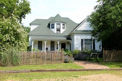 | William H. and Molly P. Humphries House | building | 2004 | 04000890 |
 | Van Zandt County Courthouse | building | 2017 | 100000698 |
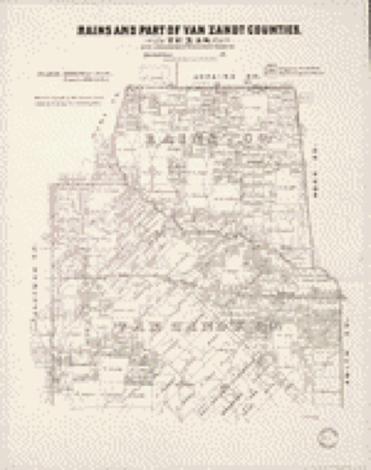
Drawn when these were printed as single large sheets: the town seen from the air, and the county divided into its farms with every owner named. Each opens the original at the Library of Congress.

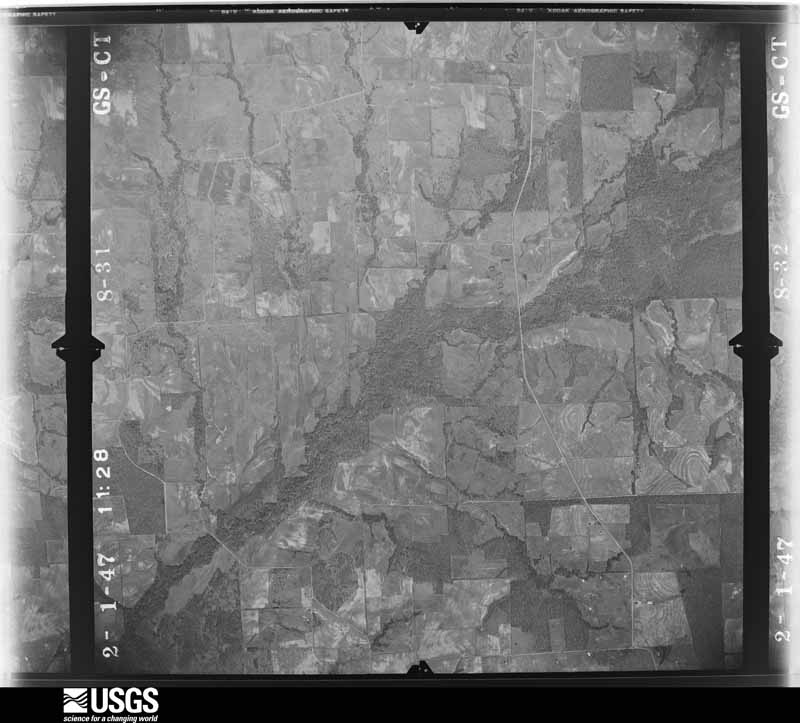
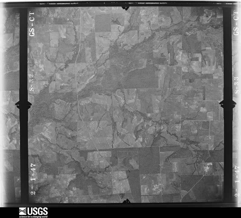
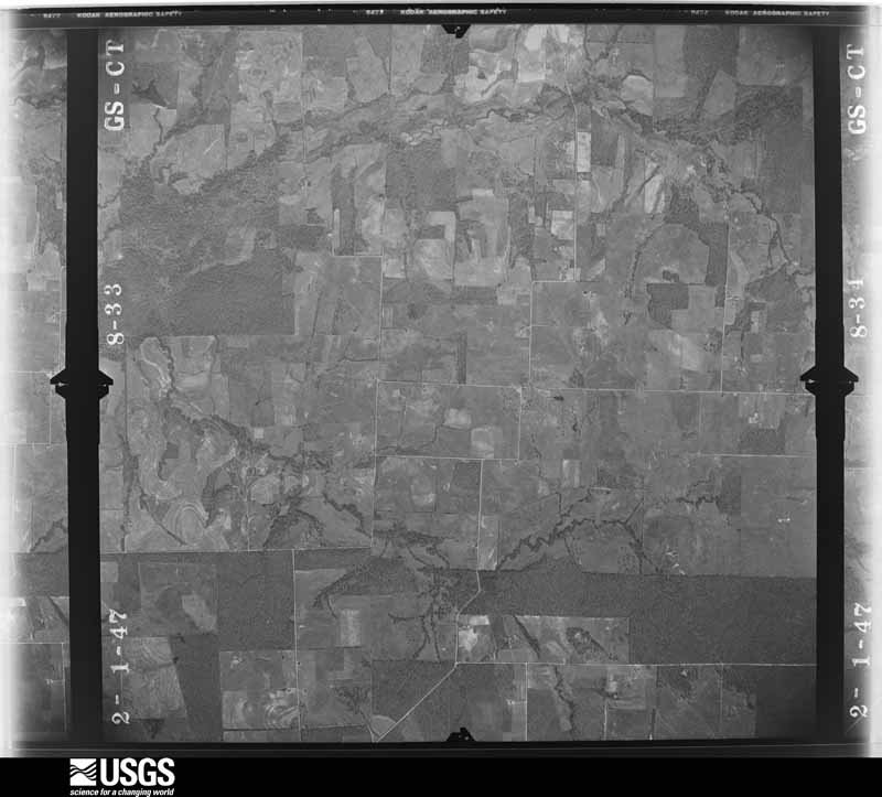
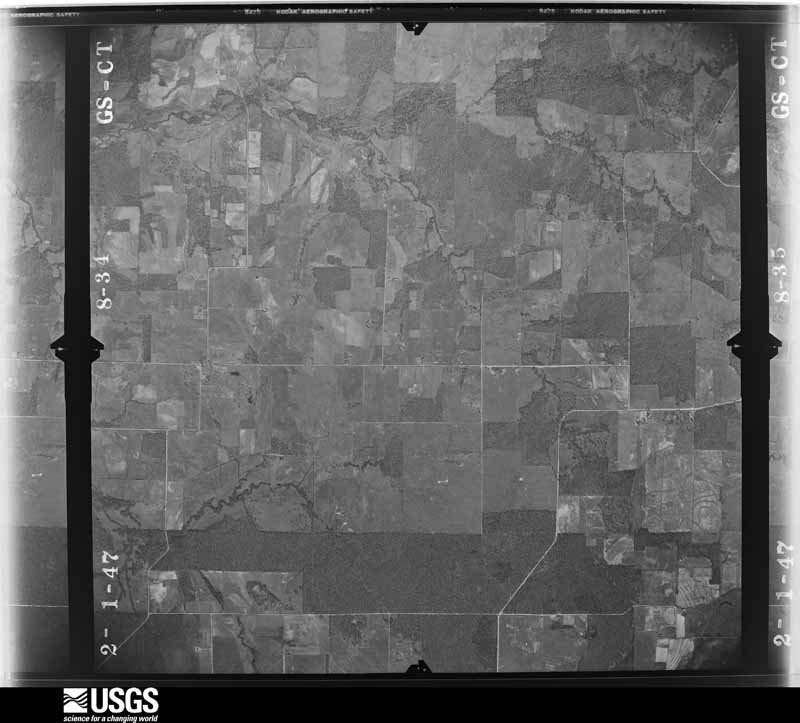
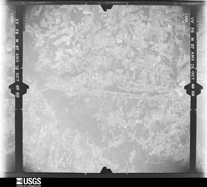
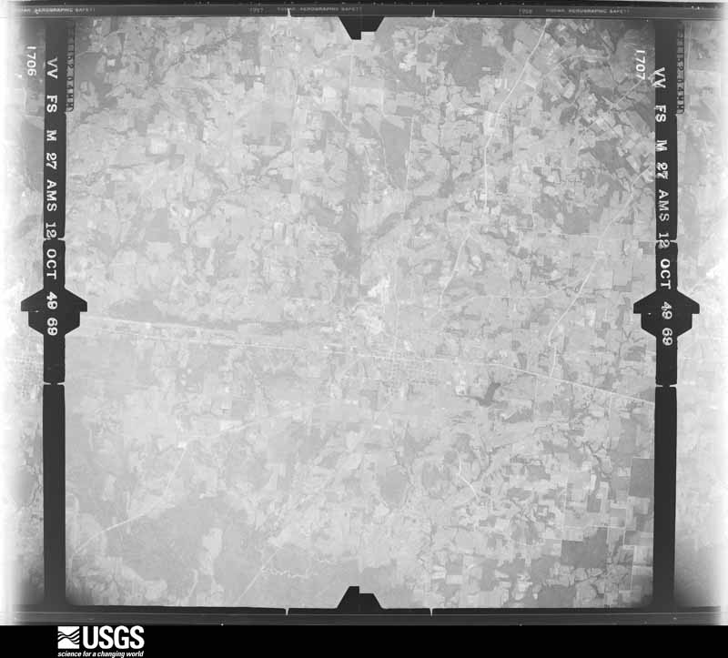
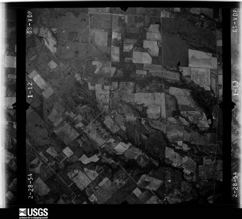
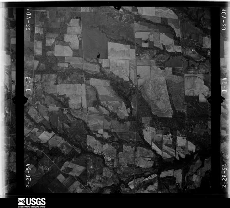
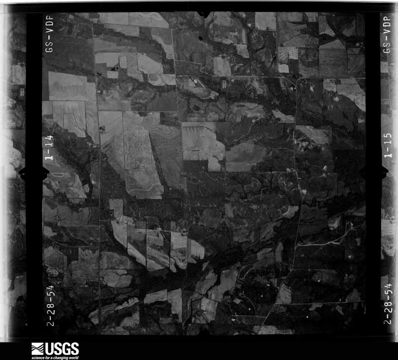
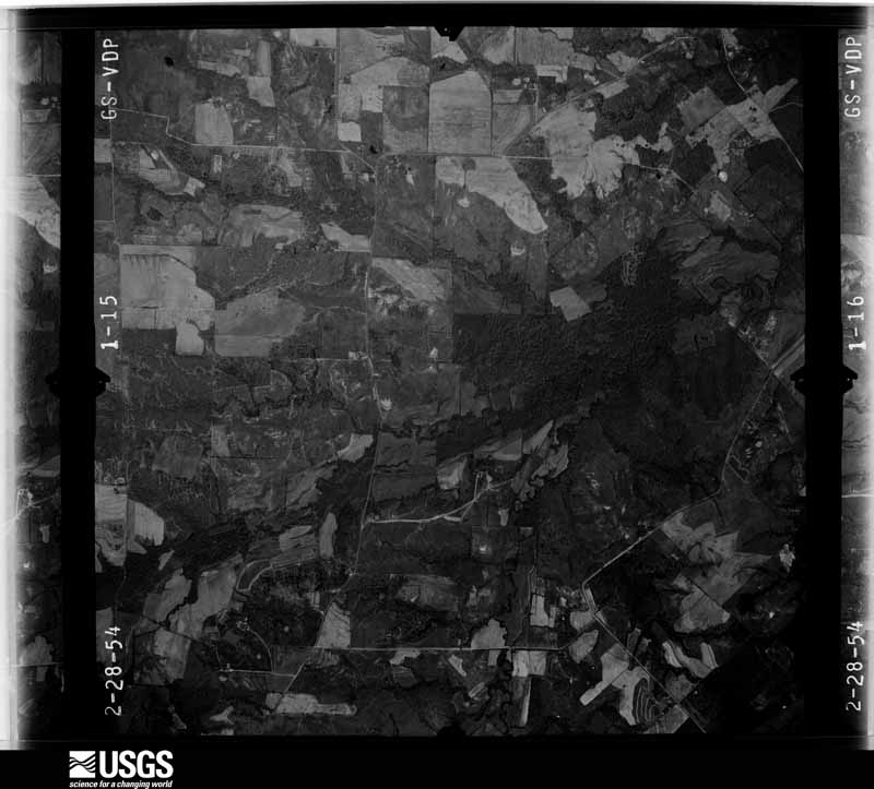
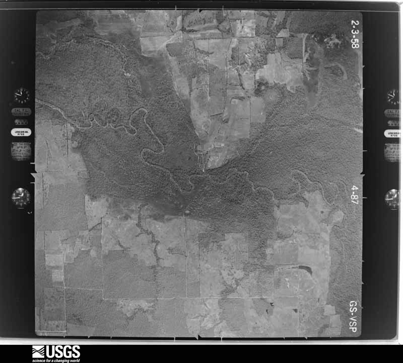
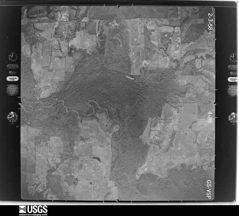
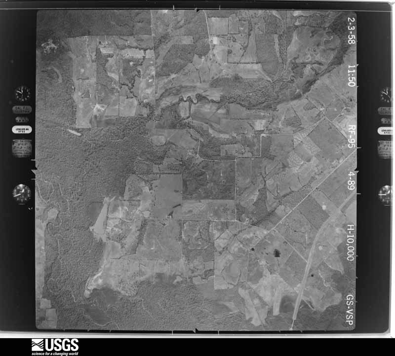
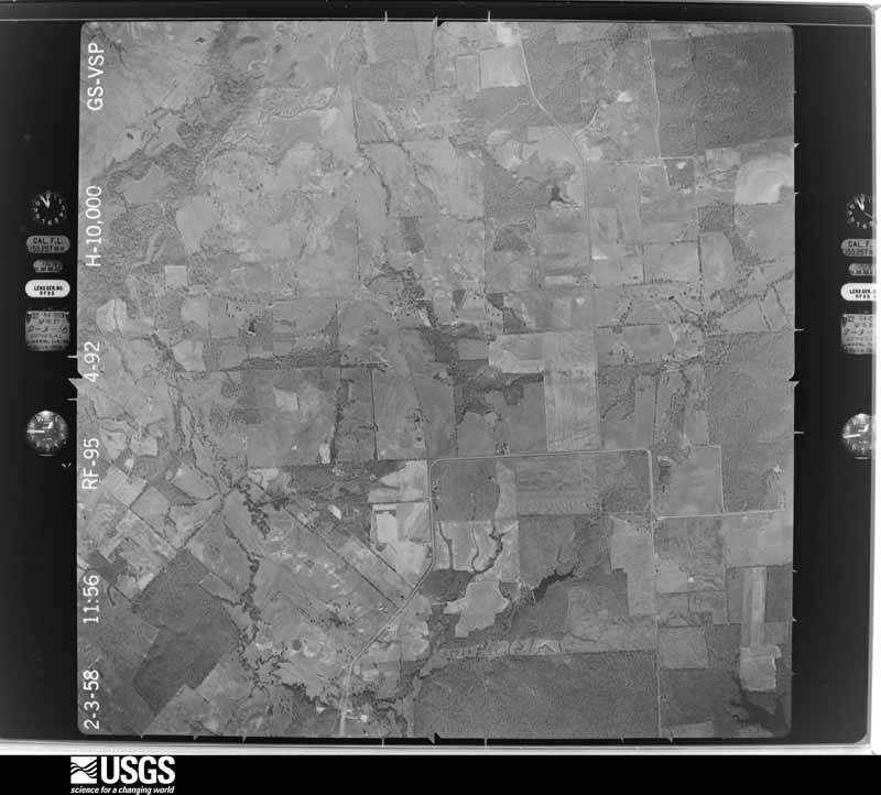
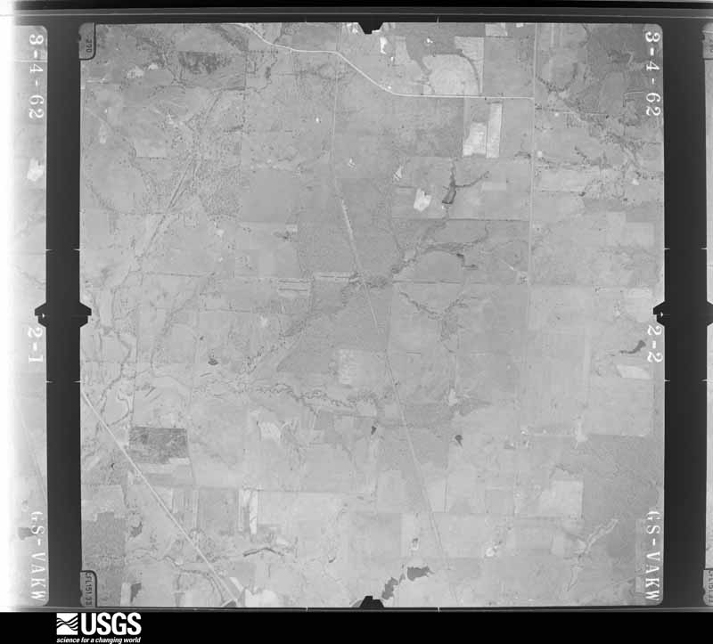
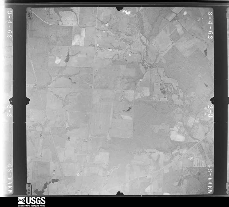
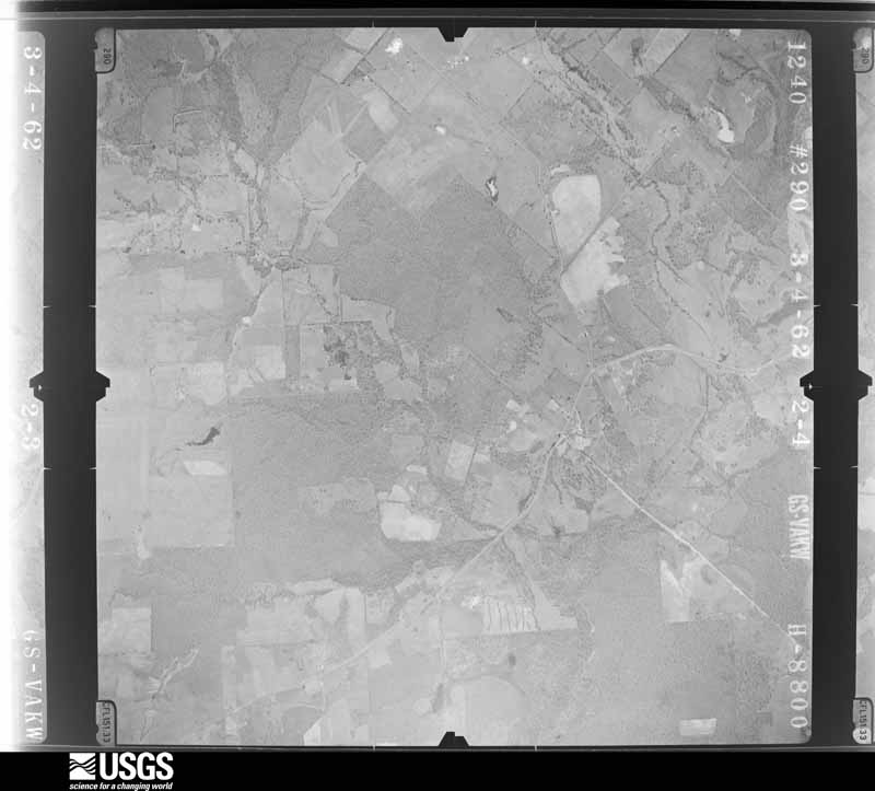
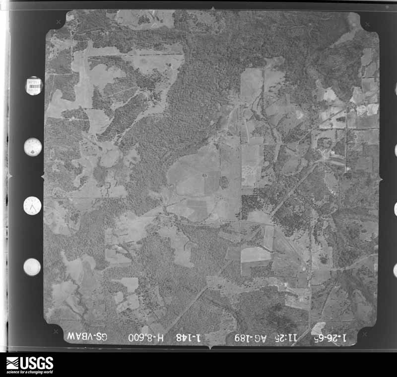
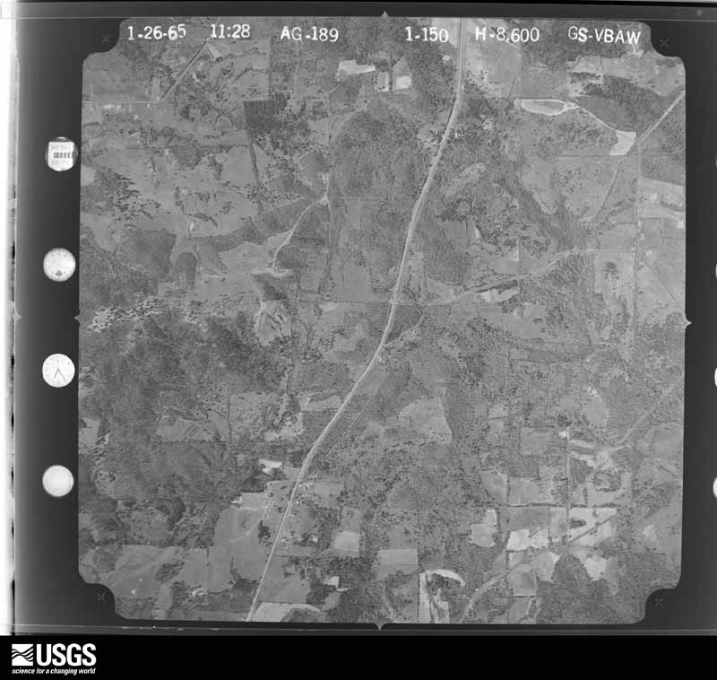
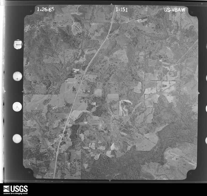
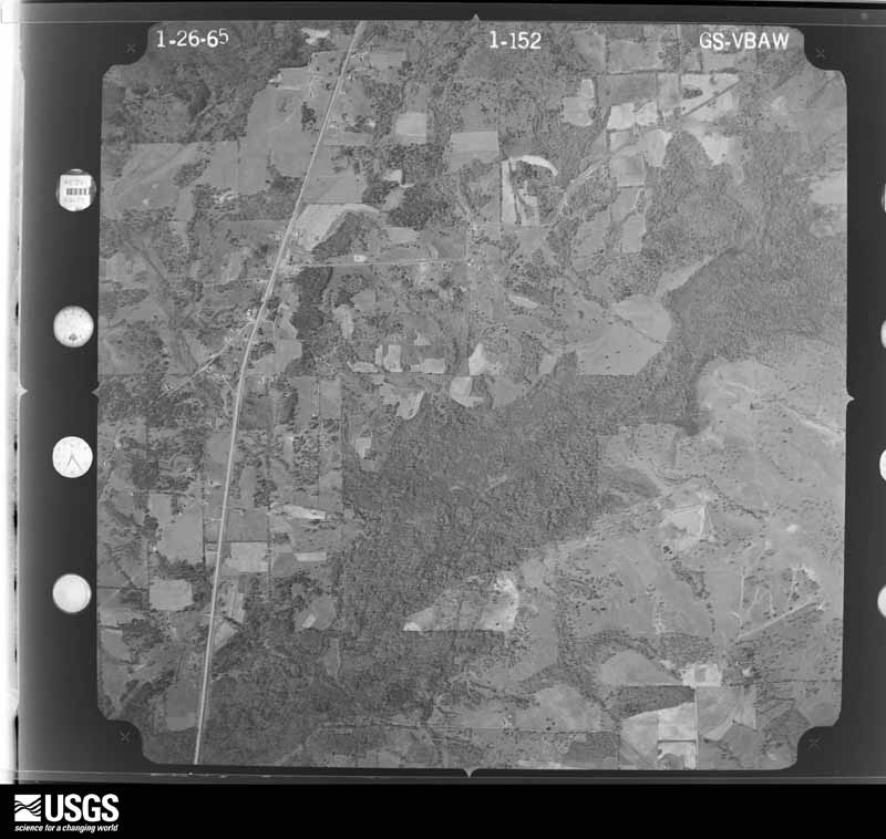
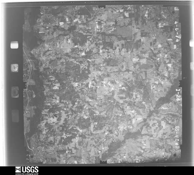
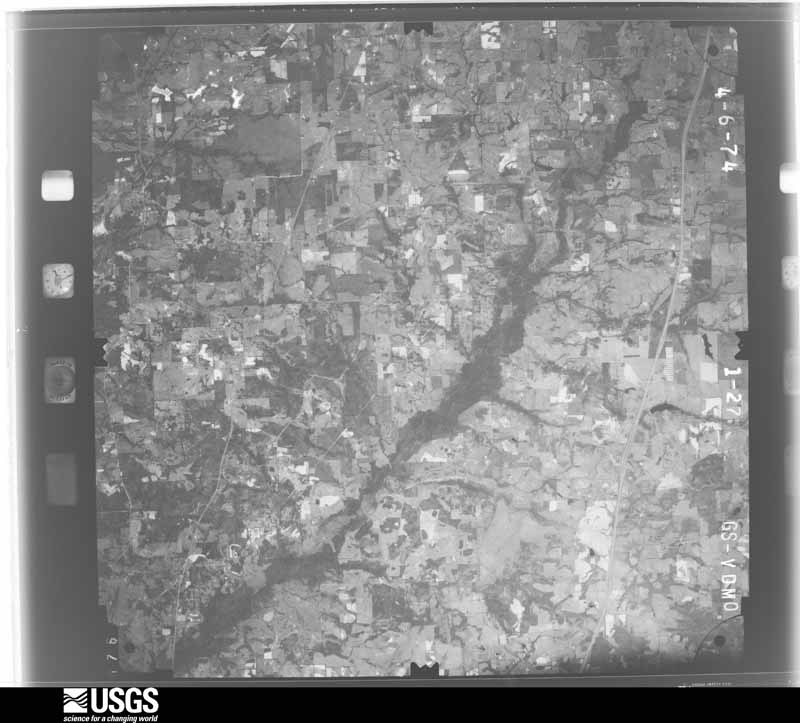
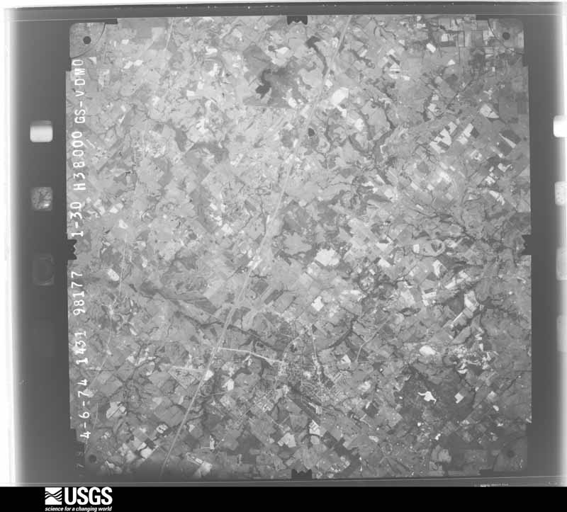
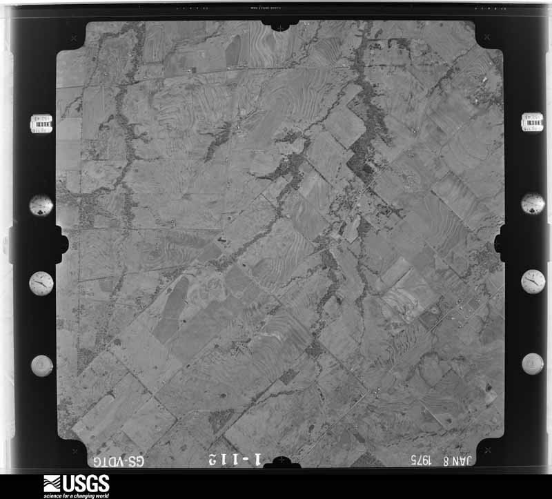
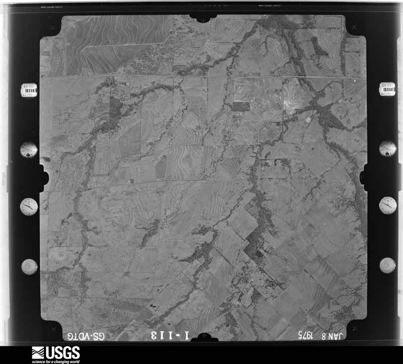
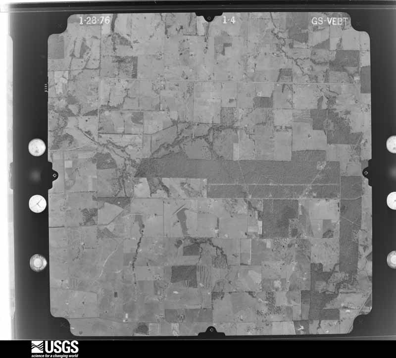
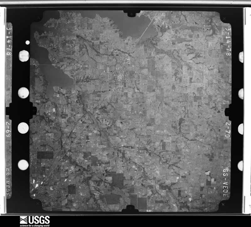
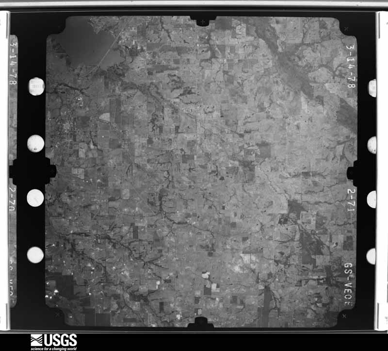
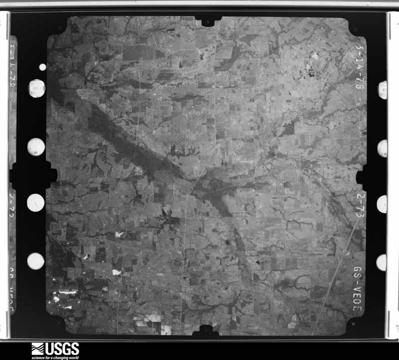
Flown by the U.S. Geological Survey between 1937 and 1989, the Aerial Photo Single Frames collection is the definitive mid-century view of the land: fields, roads and rivers as the camera saw them. The Survey holds 1,584 frames inside the rectangle that bounds this county; the 48 frames below were taken over the county itself, chosen across the decades of flights (at most four a year from that rectangle), so one flight cannot crowd out the rest. The full set is free to browse and download at EarthExplorer under the dataset Aerial Photo Single Frames.
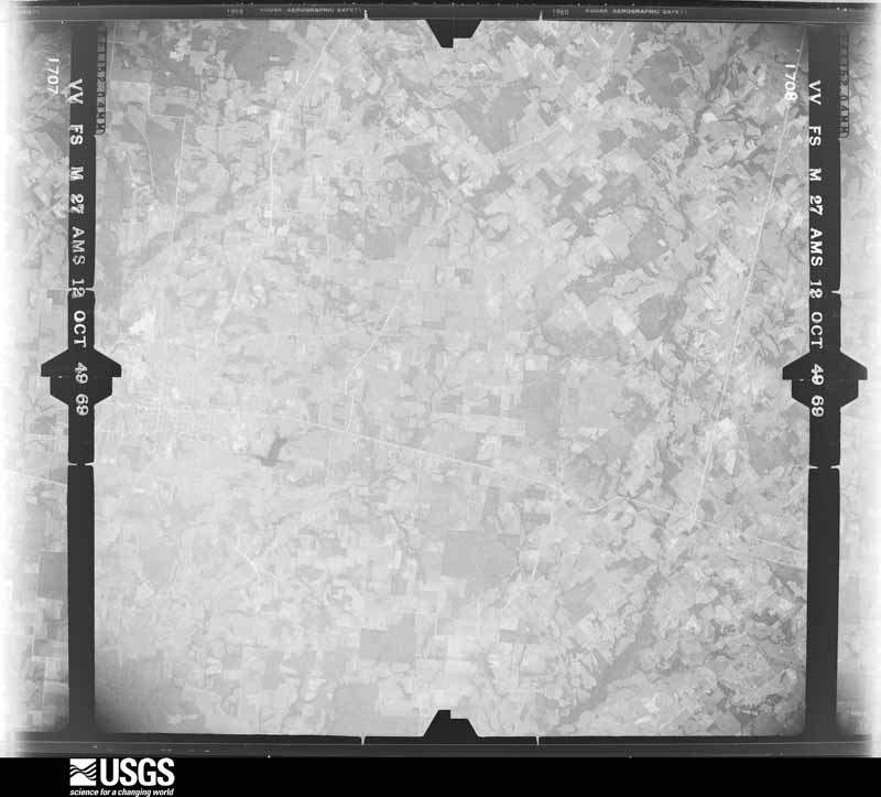
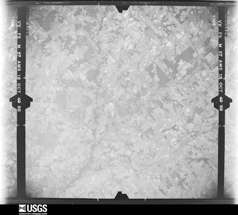
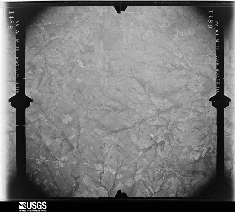

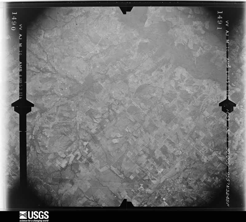

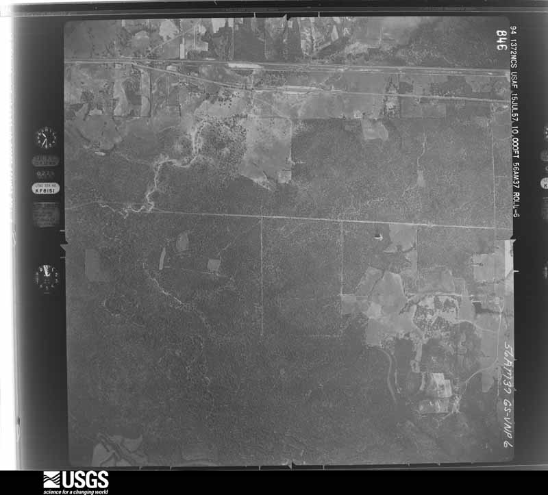
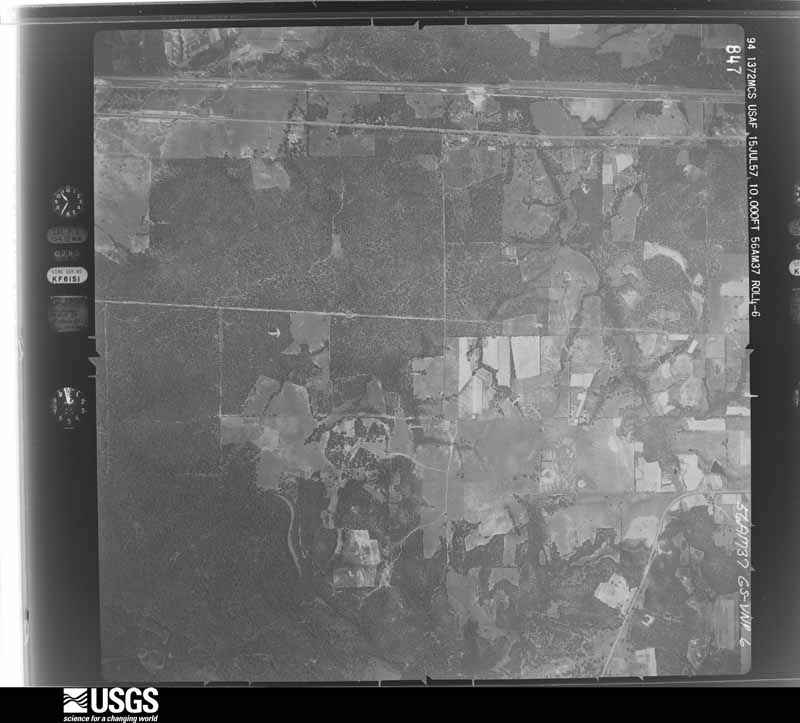
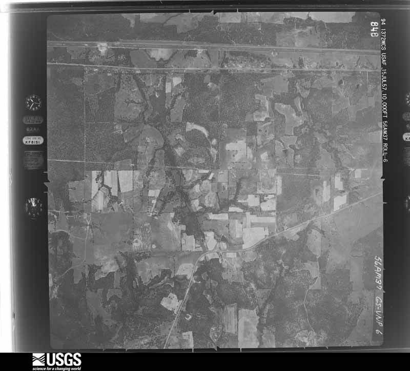
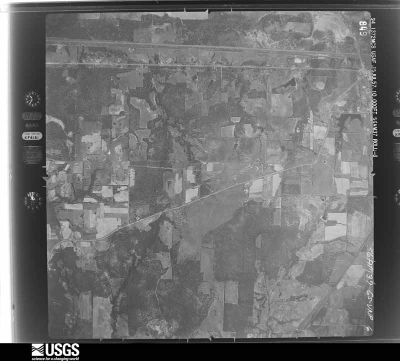



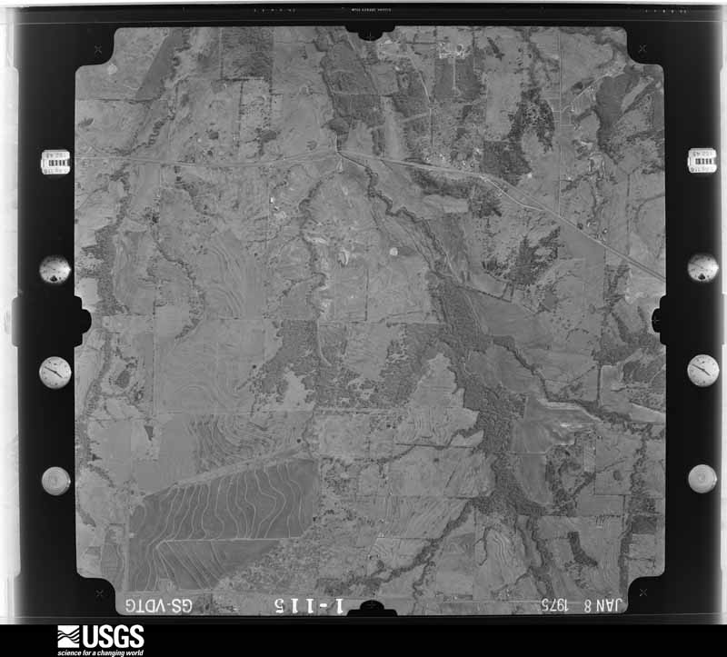
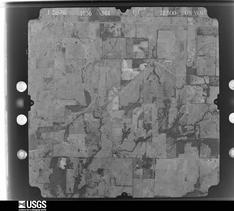
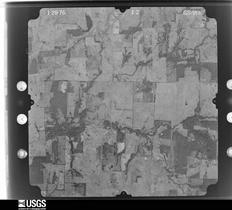
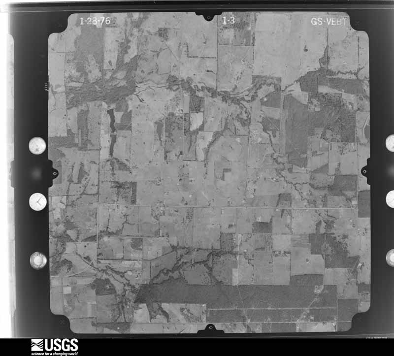

The thermometers that kept this county's weather, and the gages that measured the flow of its streams, as the federal records hold them. The extremes below are measured values from those records, not estimates.
Who lived here in 1950, one enumeration district at a time, as the Census Bureau described each district. Each row opens its official National Archives result, with Population Schedules and ED Maps available there.
Every wildfire the federal occurrence database records inside this county: 1,346 of them, burning about 12,591 acres. 15 started naturally and 32 were recorded as arson. Each settlement page carries the fires within five miles of it.
| Reported cause | Fires |
|---|---|
| Debris and open burning | 764 |
| Missing data/not specified/undetermined | 410 |
| Equipment and vehicle use | 80 |
| Arson/incendiarism | 32 |
| Power generation/transmission/distribution | 19 |
| Natural | 15 |
| Smoking | 13 |
| Recreation and ceremony | 7 |
| Misuse of fire by a minor | 4 |
| Railroad operations and maintenance | 2 |
The five largest, by the area the report gives. One of them was set deliberately.
| Date | Cause | Size | Reported by | Name on the report |
|---|---|---|---|---|
| 14 March 2006 | Arson/incendiarism | 302 acres | Texas A & M Forest Service | CLARK'S FERRY FIRE |
| 31 December 2007 | Misuse of fire by a minor | 300 acres | Texas A & M Forest Service | not named |
| 4 September 2011 | Power generation/transmission/distribution | 300 acres | Texas A & M Forest Service | DAWN VIEW RANCH FIRE |
| 31 December 2007 | Debris and open burning | 300 acres | Texas A & M Forest Service | not named |
| 4 September 2000 | Missing data/not specified/undetermined | 300 acres | Texas A & M Forest Service | HENDERSON - 470 |
| 20 April 1996 | Debris and open burning | 250 acres | Texas A & M Forest Service | not named |
| 11 June 2006 | Debris and open burning | 200 acres | Texas A & M Forest Service | HENDERSON - 347 |
| 7 February 2017 | Debris and open burning | 200 acres | Texas A & M Forest Service | FM 279 |
Every settlement page carries the fires within five miles of it - see the settlement index below.
The NOAA Storm Events Database holds 482 reports for this county, causing 9 deaths, 122 injuries and about $55,344,350 in recorded property damage. Each settlement page carries the reports that name it.
| Kind of event | Reports |
|---|---|
| Thunderstorm Wind | 209 |
| Hail | 172 |
| Tornado | 42 |
| Flash Flood | 42 |
| Flood | 12 |
| Lightning | 5 |
The most serious of them, by death, then injury, then recorded damage. The accounts are quoted exactly as the forecast office filed them.
| When | Event | Place named | Harm | What the report says |
|---|---|---|---|---|
| May 2015 | Tornado (EF3) | Primrose | 2 killed, 43 hurt, $40,000,000 | A NWS storm survey team found EF-3 damage in the city of Van. This tornado began near highway 64, near Edom before moving in a northerly direction. The storm crossed Interstate 20 on the southeast side of Van, before carving a destructive path over the eastern side of the city. The greatest damage was done in a housing development to the north of the public school administration building, where over 50 homes were damaged or destroyed. Two fatalities occurred with this tornado, as a married couple was apparently asleep in their mobile home when the tornado hit. |
| April 2017 | Tornado (EF3) | Walton | 2 killed, 24 hurt, $600,000 | This tornado began nearly as the last tornado dissipated to the south and west. The parent supercell cycled another tornado about a mile to the east and northeast of the previous storm. This tornado quickly grew to a large tornado, becoming slightly less than one mile wide at its widest point. The tornado was at the strongest near Interstate 20 and FM 17 just north of Canton. The survey crews found continuous damage between Canton and Fruitvale, and then additional damage as far north as Emory, |and Lake Fork. Several homes, businesses, and farm buildings were damaged or destroyed in the 40 mile continuous damage path. This tornado occurred for over an hour, and spanned most of Van Zandt, and nearly all of Rains Counties during the 80 minute track. |
| April 2017 | Tornado (EF4) | Big Rock | 2 killed, 20 hurt, $700,000 | The Henderson County tornado continued into Van Zandt County. A National Weather Service damage survey crew found the start of tornado number three began in Henderson County, approximately 3 miles due south of Eustace. This tornado eventually moved into Van Zandt County, where the storm produced EF4 damage. In Henderson County, several homes suffered EF2 damage, along with a considerable amount of tree damage and damage to farm buildings. As the storm moved into Van Zandt County, the tornado grew to a mile wide at the tornado's maximum width. Over 50 homes were either damaged or destroyed, with a continuous path noted between counties. |
| June 2024 | Thunderstorm Wind | Ben Wheeler | 1 killed, 1 hurt, $5,000 | A survey team confirmed a swath of straight-line wind damage likely associated with the rear flank downdraft of a previously tornadic supercell thunderstorm. A broad area of tree damage was observed between Ben Wheeler and Edom, and also east of Edom along FM 279. The most significant damage was confined to FM 279 where many trees were uprooted, including a few large trees. This damage was consistent with 75-80 mph straight-line winds, though saturated soils were likely a contributing factor. Sporadic tree damage was also observed along State Highway 64. One fatality resulted from this thunderstorm when a tree fell into the roadway as a vehicle was traveling westbound on FM 279. The passenger of the vehicle was also injured and hospitalized. There was no discernible structural damage in the county from this event. |
| March 2007 | Flash Flood | Wills Pt | 1 killed, $10,000 | A man who had drove into high water on CR 3827 was found dead two days later. He had originally left his pick-up truck in the high water, then went back to help a passenger. The passenger was able to reach safety. |
| August 1996 | Lightning | Ben Wheeler | 1 killed | no account filed |
| March 2004 | Thunderstorm Wind | Wills Pt | 10 hurt, $500,000 | Several houses were damaged, many RV trailers destroyed, trees, and power lines were blown down. |
| May 2008 | Tornado (EF1) | Canton | 8 hurt, $300,000 | A damage survey conducted by the National Weather Service in Fort Worth found that a tornado touched down at a park near Highway 64 and Old Kaufman Road. Several trees were damaged, a power pole was broken, and fencing was blown down. East of the park, two power poles were broken along Highway 64. A mobile home to the northeast suffered minor roof damage and a shed was damaged. The tornado then moved through the First Monday trade site, heavily damaging several trees and pushing over a trailer in the western portion of the grounds. Several vehicles were damaged by falling trees and limbs. Additional tree damage was noted as the tornado approached Highway 19. The damage swath ended about 200 yards east of Highway 19. This tornado was rated a low EF-1 with maximum sustained winds of 85-90 MPH. Two people were trapped in a van under a fallen tree in the First Monday parking lot. A truck travelling north on Highway 19 was thrown 38 yards. The driver was not injured. |
| April 2017 | Tornado (EF0) | Big Rock | 5 hurt, $300,000 | This is a continuation of the Henderson County tornado, as it moved into Van Zandt | County. ||This tornado developed northeast of Log Cabin with the first visible damage associated to snapped trees. As the tornado moved north/northeast, a tall communications tower was snapped in half. Eventually, the tornado crossed paths with several homes which led to complete destruction and many debarked trees. The damage path continued to the northeast, eventually stopping near the intersection of Van Zandt County Road 2903 and FM 1256. As this tornado occluded and dissipated, the next tornado began in the next few minutes. |
| November 1983 | Thunderstorm Wind | not stated | 4 hurt | no account filed |
| April 1986 | Tornado (F1) | not stated | 2 hurt, $250,000 | no account filed |
| November 1988 | Tornado (F1) | not stated | 2 hurt | no account filed |
| November 1983 | Thunderstorm Wind | not stated | 2 hurt | no account filed |
| April 2011 | Tornado (EF1) | Ben Wheeler | 1 hurt, $200,000 | A NWS Storm Survey determined an EF-1 tornado began approximately 2 miles south of Ben Wheeler and tracked northeast across Van Zandt County before continuing into Smith County. This tornado had a path length of approximately 7.5 miles in Van Zandt County and was estimated to be a 1/2 mile wide. A mobile home south of Ben Wheeler was rolled onto its side, and several homes were damaged 4 miles northeast of Ben Wheeler. The Friendly Center Baptist Church also sustained major damage. Wind speeds were estimated to be 100 MPH. A lady in the rolled mobile home sustained minor injuries. |
| April 1995 | Hail | Canton | $3,000,000 | Large hail damaged automobiles, businesses, and homes. |
| January 2010 | Tornado (EF2) | Canton Van Zandt Arp | $1,000,000 | A NWS survey team found evidence of a long track tornado in Van Zandt County. The tornado touched down near CR 859 north of Highway 64 on the northwest side of Canton and traveled approximately 15 miles in a northeast direction. Numerous structures were damaged along the track of the tornado which ended near the Silver Lake community in the extreme Northeast corner of the county. Along the damage path, a single family home lost its entire roof and part of its exterior walls. A number of large trees were uprooted and several sheds and outbuildings suffered extensive damage. A small church was destroyed in the community of Starr. A total of 150 homes suffered damage, but only one injury was reported. Based on the damage, the tornado was rated an EF-2 with peak winds in the 110 to 120 mph range. |
| April 2006 | Thunderstorm Wind | Canton | $1,000,000 | Significant structural damage to several buildings near the intersection of Highway 19 and Highway 243. A damage survey conducted by the National Weather Service in Fort Worth indicated that this damage was due to a downburst. More than forty homes and 15 businesses were damaged. |
| April 2011 | Thunderstorm Wind | Roddy | $800,000 | Nearly 100 homes and several outbuildings were damaged across mainly the southern half of Van Zandt County from two strong supercells. These homes were damaged by either a tornado in the same region, damaging downburst winds, and/or RFD winds. It cannot be determined how many of the homes were damaged by the tornado and how many by the RFD or downburst winds. In addition, numerous trees were also knocked down and several were blocking roadways. Power lines were also down as well. |
| August 2022 | Flash Flood | Canton Van Zandt Arp | $500,000 | Notable flooding was reported around Canton. Specifically: Streets and roads were flooded along Rollins Rd and water may have entered a few homes. The EM's office on SH 64 experienced flooding around the office, and water up to 5 deep entered the office. Outside the office, pictures show the water was at least a foot deep in some areas. The location of First Trade Days was flooded with over a foot of water in some areas. |
| May 2019 | Tornado (EF2) | Roddy | $500,000 | A tornado developed near the community of Whitton, then moved northeast, damaging several homes in its path. The most extensive damage was found on Van Zandt CR 2502 and Van Zandt CR 2501, where the EF-2 determination was made. Homes experienced significant roof loss, and a manufactured home was destroyed and tossed well away from its foundation. The tornado then continued moving northeast, easily traceable from continuous tree damage along its path. This tornado then occluded and dissipated as it approached the City of Canton. Maximum winds with the tornado were estimated at 125 mph. |
| March 2025 | Thunderstorm Wind | Wills Pt | $300,000 | A shoe store building collapsed at 4th St and High St in Wills Point. |
| April 2024 | Flash Flood | Grand Saline | $300,000 | Amateur radio reported water covering Highway 80 through Grand Saline, with some downtown businesses also flooded. |
| May 2024 | Thunderstorm Wind | Wills Pt | $250,000 | Trained spotter reported trees 12-24 inches in diameter uprooted/split between I-20 and HWY-64 just north of Canton. Widespread trees knocked down were reported across the county. Some trees fell on homes and vehicles. An analysis of pictures across the county after the event determined the winds were 80-85 mph in some locations. |
| May 2019 | Tornado (EF1) | Canton | $250,000 | A tornado developed near Canton High School then moved to the northeast toward downtown Canton. Abundant tree damage occurred in southwest Canton, then the tornado strengthened as it approached downtown Canton. Structural damage to several businesses was found as well as tree trunks snapped closer to Interstate 20. This tornado lifted as it approached Interstate 20. Maximum winds with the tornado were estimated at 100 mph. |
| October 2019 | Tornado (EF0) | Wills Pt | $250,000 | The supercell thunderstorm that spawned the 2 Kaufman County tornadoes moved eastward and produced an additional brief tornado in Van Zandt County near Wills Point. The tornado formed 1/4 mile east of Van Zandt County Road 3801, tracking east through a neighborhood of manufactured homes along Van Zandt County Road 3849. The tornado was approximately 200 yards wide and was on the ground for a little more than 1/2 mile in its 5 minute lifespan. The tornado dissipated just east of Lake Dr. (Highway 47). Multiple roofs sustained damage, mainly on the south side of Van Zandt County Road 3849. Multiple sheds and carports were overturned and damaged. A few small trees were uprooted and tree branches were broken on numerous trees, all consistent with EF-0 damage between 70 and 78 mph. |
| May 1981 | Tornado (F2) | not stated | $250,000 | no account filed |
| March 2026 | Flash Flood | Wills Pt | $200,000 | The fire department reported multiple houses were flooding on Pecan Ave in Wills Point. Local FD requested a boat and were going door to door evacuating residents. Four to five feet of water was prohibiting egress on foot. |
| March 2026 | Flash Flood | Wills Pt Muni Arpt | $200,000 | The fire department reported knee deep water over Highway 80 near Big Tex Trailers at the Wills Point city limit. Wills Point Fire and Edgewood Fire were working multiple calls for flooding of stranded occupants in vehicles on Highway 80. |
| April 2010 | Lightning | Phalba | $200,000 | The county newspaper reported that lightning caused a fire at a residence on County Road 2309. One man died in the fire as he reentered the residence to try and put the fire out. Nine children in the home escaped with only minor injuries. Two other house fires were also reported in the county: one on CR 3814 and a vacant house on CR 2319. |
| July 2007 | Flood | Phalba | $200,000 | A subterranean house on CR 2311 was flooded when a levy broke in a creek beside the house. Most of the furniture and possessions in the 3,000 square-foot home were damaged. |
| May 1995 | Thunderstorm Wind | Canton | $200,000 | Seventeen buildings were damaged or destroyed by high winds. |
| July 2007 | Flash Flood | Canton | $150,000 | FM 1256, FM 1861, and several other roads were flooded and impassable. Numerous roads were closed due to culverts and bridges being washed out, including Highways 19 and 243 south of Canton, and Highway 110 east of Van. |
| March 1997 | Thunderstorm Wind | Phalba | $120,000 | no account filed |
| April 2025 | Tornado (EF0) | Oakland | $100,000 | An EF-0 tornado touched down around 9.5 miles east of Canton along CR 1321 then moved northeast passing south and east of Grand Saline before crossing US Highway 80 and lifting north of Silver Lake. One home on FM 1255 lost part of the wall on an addition built over the garage, and a mobile home along FM 1255 near CR 1605 had roof and porch damage. Another home suffered roof damage on CR 1701. Several trees were also uprooted or damaged along the path. The tornado may have crossed into Wood County for a short distance, but due to the lack of roads in the area this could not be confirmed. Maximum estimated winds were 80 mph. |
| July 2022 | Lightning | Canton Van Zandt Arp | $100,000 | A social media report indicated that a gas and oil storage facility was struck by lightning and exploded, just east of Highway 19 on County Road 1106, north of the city of Canton. |
| April 2010 | Thunderstorm Wind | Van | $100,000 | The large Love's Travel Center sign was knocked down in very strong thunderstorm winds. The sign fell on a part of the gas pump awning, damaging the awning and causing minor damage to a few of the gas pumps. Also in Van, large trees were uprooted, a few trees fell on the roofs of homes, and light poles and power lines were also down. |
| April 2010 | Thunderstorm Wind | Phalba | $100,000 | The Emergency Manager reported a long track of thunderstorm wind damage extending from just northeast of Mabank to Grand Saline. Most of the damage resulted from numerous large trees being blown onto area roadways while some trees were reported to have fallen onto homes and vehicles. |
| June 2000 | Flash Flood | Countywide | $100,000 | Numerous county roads, farm to market roads, and highways were closed due to high water. Many bridges were washed out and there were three high water rescues. Nine homes were flooded in Grand Saline. |
| April 2014 | Hail | Edgewood | $90,000 | The Van Zandt County Emergency Manager reported golf ball sized hail approximately one mile north of Edgewood. The hail broke windows and damaged several roofs. |
| March 2008 | Thunderstorm Wind | Edom | $85,000 | Hundreds trees were blown down throughout the county...with the most concentrated damage near Edom and Midway. Several of the trees fell on cars or houses. A damage path approximately 2 miles wide began just northeast of Edom and continued for 5 miles to the northeast...terminating near the Neches River. The vast majority of the damage resulted from a downburst...which formed as a bow echo developed along a fast moving squall line.||In addition...a total of four outbuildings were destroyed. Steel I-beams from a barn just east of Edom were carried beyond 100 feet with some aluminum sheets carried north of Highway 279 for a distance of more than 100 yards. Farther to the north...two large sheds were destroyed along CR 4807. Wind speeds in the downburst swath ranged from 60-65 MPH. |
| March 2021 | Hail | Canton Van Zandt Arp | $75,000 | A report was received on Twitter of tennis ball size hail. Considerable damage was done to vehicle windshields. |
| May 2024 | Thunderstorm Wind | Colfax | $60,000 | Trees were knocked down on houses and vehicles west of Van near FM 16 and CR 4414. |
| April 2017 | Tornado (EF0) | Canton | $60,000 | This brief tornado occurred in nearly the same area of the larger tornado that came through later. This tornado caused damage to trees and barns just southeast of the city center of Canton. The survey crew found evidence of a separate track than the larger tornado, which moved through the area about one hour later. |
| October 2014 | Thunderstorm Wind | Grand Saline | $60,000 | Amateur Radio operators reported a measured wind gust of 61 knots in Grand Saline. |
| April 2014 | Hail | Myrtle Spgs | $60,000 | Broadcast media reported baseball sized hail smashed several vehicle windows just west of Canton. |
| June 2001 | Lightning | Canton | $60,000 | Houses burned to the ground after being struck by lightning. The houses were located between Canton and Phalba, on Highway 198. |
| March 2025 | Thunderstorm Wind | Wills Pt Muni Arpt | $50,000 | A member of the public reported damage to his property. A shed with metal siding and a wooden frame was destroyed, with pieces of wood thrown several hundred years. Posts cemented 8-10 ft in the ground were pulled up with the cement. A 20 by 20 equipment shed was moved and angled around 45 degrees. |
| June 2024 | Flash Flood | Ben Wheeler | $50,000 | A social media video showed floodwaters entering a home in Ben Wheeler. |
| June 2010 | Flash Flood | Roddy | $50,000 | Farm-to-Market Road 47 was underwater one mile north of Highway 198, County Road 308 was washed away two miles east of Highway 198, and Farm-to-Market Road 316 was closed due to high water at the intersection of Highway 198. |
| October 2009 | Flood | Alsa | $50,000 | Ongoing flooding continued across the county from earlier heavy rainfall. The flooding damaged several roads and washed out culverts and headwalls of bridges. Several of the roads were going to need to be torn up and redone according to local officials. |
| March 2008 | Tornado (EF1) | Primrose | $50,000 | The National Weather Service in Fort Worth conducted a survey and found that a tornado formed near the northwestern edge of a downburst damage swath. The tornado damaged a sturdy dwelling which lost a door and windows about a fourth of a mile southeast of the intersection of FM 314 and Highway 64. Also, a nearby garage had its doors removed. Numerous trees were damaged with some of them snapped near their bases. Maximum winds were between 85 to 90 MPH. |
| April 2006 | Thunderstorm Wind | Canton | $50,000 | Damaging downburst winds affected parts of southern Van Zandt County near the community of Ben Wheeler. Three structures were destroyed or badly damaged. Numerous trees were also blown down near Highway 64. No injuries were reported. |
| December 1999 | Thunderstorm Wind | Whiton | $50,000 | Thunderstorm winds destroyed a house, damaged four others and blew the chimney off another house. The damaged occurred between Whitton and Phalba. |
| April 1994 | Thunderstorm Wind | Wills Point | $50,000 | Thunderstorm winds blew down trees and power lines. |
| April 1994 | Thunderstorm Wind | Canton | $50,000 | A mobile home was rolled, scattered roof damage occurred to nearby houses, and trees were blown down by high winds. |
| May 1994 | Thunderstorm Wind | Wills Point | $50,000 | A house was unroofed by thunderstorm winds. |
| April 1993 | Hail | not stated | $50,000 | Windshield broken on at least three vehicles, and damage to roofs. |
| March 2025 | Thunderstorm Wind | Canton | $45,000 | Social media pictures showed damaged wooden/metal buildings (side of one collapsed, the other partially collapsed and lifted off of its foundation), a bent metal tower, and a wooden structure housing tractors destroyed. |
| May 2011 | Thunderstorm Wind | Wills Pt | $45,000 | The roof was blown off the Old Rose Dry Goods building near the intersection of James and 4th streets. Five apartments were damaged. Power lines were also blown down in the area. |
| June 2007 | Flood | Canton | $40,000 | A flooded creek washed out a bridge on CR 2721. A truck was driven into the water and had to be retrieved. |
The Survey's mineral resources record lists 15 workings inside this county. 14 still produce and 1 is closed or unrecorded. Each settlement page carries the workings within five miles of it.
| Commodity | Workings |
|---|---|
| Fire Clay (Refractory) | 5 |
| Clay | 5 |
| Sulfur | 2 |
| Salt | 2 |
| Halite | 1 |
| Gypsum-Anhydrite | 1 |
The least common of them first, because a county's hundredth gravel pit says nothing its first ten did not.
| Where | Site | Commodity | Status | Recorded |
|---|---|---|---|---|
| Grand Saline Mine | Halite, Gypsum-Anhydrite | Producer | 1888, 1931 | |
| Edgewood Sulfur Plant | Sulfur | Producer | ||
| Grand Saline Operation | Salt | Producer | ||
| Grand Saline Salt Mine | Salt | Producer | ||
| Myrtle Springs Sulfur Plant | Sulfur | Producer | ||
| Acme Brick Daniels Pit | Clay | Producer | ||
| Acme Brick Mayfield Pit | Clay | Unknown | ||
| Athens Brick Van Zandt County Pit | Clay | Producer | ||
| Blackjack Pit | Fire Clay (Refractory) | Producer | Sedimentary | |
| Daniels Pit | Fire Clay (Refractory) | Producer | Sedimentary | |
| Mayfield Pit | Fire Clay (Refractory) | Producer | Sedimentary | |
| Southern Clay Prod Blackjack Pit | Clay | Producer | ||
| Van Zandt County Pit | Fire Clay (Refractory) | Producer | Sedimentary | |
| Yancy Pit | Fire Clay (Refractory) | Producer | Sedimentary | |
| Yancy-Mayfield & Mcnally | Clay | Producer |
Named settlements recorded in the Geographic Names Information System, each with the topographic sheets covering it. Villages, hamlets and abandoned places alike. Each is shown with the nearest named watercourse or landform and the survey quadrangle it falls on.
Ben Wheeler-Edom census division · 75754 · Ben Wheeler quadrangle
13 sheets, 1948 to 1991
Wills Point census division · 75169 · On Flat Creek · Cedarvale quadrangle
10 sheets, 1954 to 1986
Wills Point census division · 75169 · On Wills Creek · Iron Bridge Dam quadrangle
14 sheets, 1956 to 1991
Cedar Creek Lake census division · 75124 · Phalba quadrangle
13 sheets, 1948 to 1991
Cedar Creek Lake census division · 75147 · On Knudson Branch · Prairieville quadrangle
11 sheets, 1920 to 1985
Canton census division · 75103 · On Rats Branch · Myrtle Springs quadrangle
13 sheets, 1956 to 1991
Ben Wheeler-Edom census division · 75754 · Martins Mill quadrangle
13 sheets, 1948 to 1991
Grand Saline census division · 75140 · On Herrin Branch · Fruitvale quadrangle
11 sheets, 1956 to 1991
Ben Wheeler-Edom census division · 75754 · Martins Mill quadrangle
13 sheets, 1948 to 1991
Grand Saline census division · 75103 · On Sandy Branch · Canton quadrangle
13 sheets, 1956 to 1991
Cedar Creek Lake census division · 75147 · On Dry Creek · Prairieville quadrangle
11 sheets, 1920 to 1985
Van census division · 75790 · On Browning Creek · Van quadrangle
14 sheets, 1956 to 1991
Grand Saline census division · 75140 · On Coon Creek · Grand Saline quadrangle
15 sheets, 1956 to 1991
Wills Point census division · 75169 · On Flat Creek · Cedarvale quadrangle
10 sheets, 1954 to 1986
Grand Saline census division · 75140 · On Grand Saline Creek · Golden quadrangle
15 sheets, 1956 to 1991
Canton census division · 75103 · On Myrtle Branch · Canton quadrangle
13 sheets, 1956 to 1991
Cedar Creek Lake census division · 75103 · On Coppers Branch · Phalba quadrangle
13 sheets, 1948 to 1991
Cedar Creek Lake census division · 75103 · On Denton Creek · Cedarvale quadrangle
10 sheets, 1954 to 1986