 Block
BlockPhalba, Texas
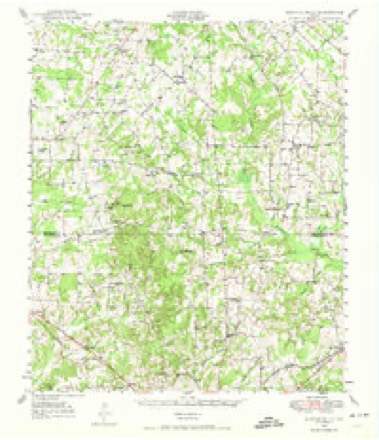
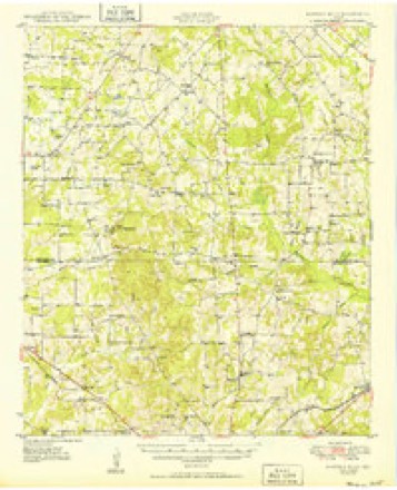
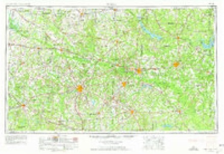
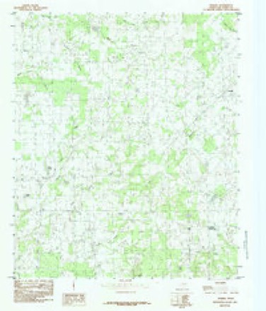
13 topographic sheets cover this place, the earliest surveyed in 1948 and the latest in 1991. It stands in the Cedar Creek Lake census division. It lies in ZIP code area 75103. The Survey maps it on the Phalba quadrangle.
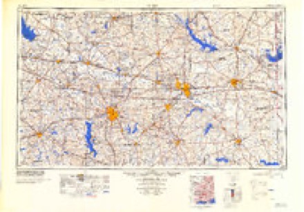
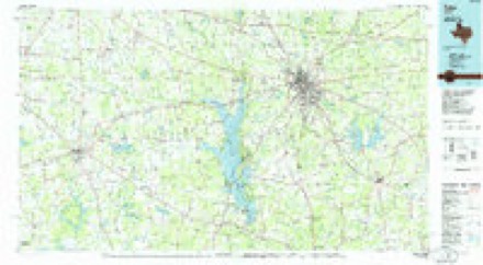
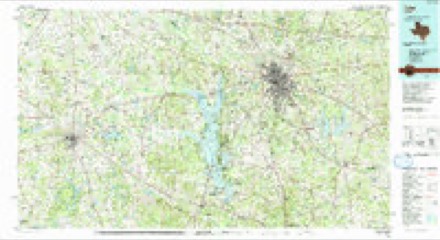
Topographic sheets covering this place
7 surveys from 13 printed sheetsMatched by testing this settlement's coordinate against the published boundary of every sheet in the United States Geological Survey's historical collection. Each opens the scanned sheet at the Survey.
- 1948 USGS Martins Mill quadrangle1:62500
- 1949 USGS Martins Mill quadrangle1:62500
- 1956 USGS Tyler quadrangle1:250000, 5 printings
- 1984 USGS Phalba quadrangle1:24000
- 1984 USGS Tyler quadrangle1:250000, 3 printings
- 1985 USGS Tyler quadrangle1:100000
- 1991 USGS Tyler quadrangle1:100000
Fires near this place
70 since 1995Regional context, not property-specific evidence. The federal wildfire occurrence database lists 70 fires within 5 miles of Phalba between 1995 and 2018, burning about 1,307 acres in total. None started naturally. 2 were recorded as arson. Distance is straight-line from the map coordinates, so a fire counted here may appear on a neighbouring settlement's page as well.
| Reported cause | Fires |
|---|---|
| Debris and open burning | 49 |
| Missing data/not specified/undetermined | 13 |
| Equipment and vehicle use | 6 |
| Arson/incendiarism | 2 |
The most recent of them, most recent first, with the day each was reported and the service that recorded it.
| Date | Cause | Size | Reported by | Name on the report |
|---|---|---|---|---|
| 7 September 2017 | Equipment and vehicle use | 30 acres | Texas A & M Forest Service | 0907171 PASTURE FIRE W/ EUSTACE |
| 14 September 2015 | Missing data/not specified/undetermined | 1.0 acres | Texas A & M Forest Service | VZCR 2118 AND VZCR 2134 |
| 11 September 1995 | Missing data/not specified/undetermined | 85 acres | Texas A & M Forest Service | not named |
| 7 August 2001 | Debris and open burning | 125 acres | Texas A & M Forest Service | HENDERSON - 125 |
| 23 August 2006 | Debris and open burning | 10 acres | Texas A & M Forest Service | not named |
| 21 August 2017 | Debris and open burning | 2.0 acres | Texas A & M Forest Service | 2313 |
| 20 August 2006 | Arson/incendiarism | 5.0 acres | Texas A & M Forest Service | CHRISTMAS LIGHT- 488 |
| 19 August 2006 | Debris and open burning | 1.0 acres | Texas A & M Forest Service | not named |
Settlements close enough to share some of these fires:
Storms near this place
18 since 1994Regional context, not property-specific evidence. The National Weather Service names Phalba in 18 storm reports between 1994 and 2024: 8 thunderstorm wind, 3 flood, 2 hail, 2 flash flood. No death or injury is recorded in these reports. Each account below is quoted exactly as the forecast office filed it, from the NOAA Storm Events Database, and each date opens the federal record of that event.
| When | Event | Place named | Harm | What the report says |
|---|---|---|---|---|
| April 2010 | Lightning | Phalba | $200,000 | The county newspaper reported that lightning caused a fire at a residence on County Road 2309. One man died in the fire as he reentered the residence to try and put the fire out. Nine children in the home escaped with only minor injuries. Two other house fires were also reported in the county: one on CR 3814 and a vacant house on CR 2319. |
| July 2007 | Flood | Phalba | $200,000 | A subterranean house on CR 2311 was flooded when a levy broke in a creek beside the house. Most of the furniture and possessions in the 3,000 square-foot home were damaged. |
| March 1997 | Thunderstorm Wind | Phalba | $120,000 | no account filed |
| April 2010 | Thunderstorm Wind | Phalba | $100,000 | The Emergency Manager reported a long track of thunderstorm wind damage extending from just northeast of Mabank to Grand Saline. Most of the damage resulted from numerous large trees being blown onto area roadways while some trees were reported to have fallen onto homes and vehicles. |
| May 2024 | Thunderstorm Wind | Phalba | $30,000 | A trained spotter relayed reports of tree and residential damage north of Mabank near CR 3080, and in the Eustace area near the Van Zandt, Henderson, and Kaufman County intersection. |
| May 2020 | Tornado (EF0) | Phalba | $10,000 | This tornado continued into Kaufman County. A little more than an hour after the Malakoff tornado occurred, a second tornado developed over extreme southwest Van Zandt County, approximately 3 miles northeast of Mabank. This tornado touched down along VZ County Road 2718 just east of the intersection with VZ County Road 2719. The tornado moved almost due west along VZ CR 2718, producing intermittent tree and power line damage, as well as roof damage to several manufactured homes, site built homes, and a couple of farm outbuildings. The tornado continued westward, moving into extreme southeast Kaufman County and producing additional intermittent tree and outbuilding damage. The tornado dissipated near the intersection of Kaufman County Road 4007 and Farm to Market Road 90. The total length of the tornado was 2.19 miles and the maximum winds were 85 mph. |
| December 1998 | Thunderstorm Wind | Phalba | $10,000 | A mobile home was unroofed and an 18 wheeler was blown over by high thunderstorm winds. |
| March 2019 | Thunderstorm Wind | Phalba | $5,000 | Van Zandt County Sheriff's Department reported roof damage northeast of Mabank, or about 11 miles southwest of the city of Canton, TX. |
| April 2017 | Tornado (EF0) | Phalba | $5,000 | This tornado was observed by residents of southwest Van Zandt County, south of Van Zandt County road 2308. This tornado occurred over open fields and produced tree and ranch land damage. |
| August 1998 | Thunderstorm Wind | Phalba | $2,000 | Trees and power lines were blown down by high winds. |
| October 2009 | Flood | Phalba | $1,000 | High water was reported on County Roads 1806, 2120 at 2102, and 1129 at 1110. The flooding was the result of persistent rainfall over the county for several hours. |
| August 2022 | Flash Flood | Phalba | - | Amateur radio reported that northbound State Highway 198 was closed due to flooding, approximately 2 miles south of FM 47. |
| October 2015 | Flood | Phalba | - | Slowly rising waters caused by several inches of steady rain covered a couple of county roads in the southern portions of the county. Highway 110 north of Van was closed for a little time due to water over the road. |
| April 2012 | Hail | Phalba | - | Nickel sized hail was reported in Phalba. The thunderstorm winds were also estimated to be 50 mph. |
| December 2002 | Thunderstorm Wind | Phalba | - | Trees were blown down in the southwest part of the county near Phalba. |
| June 2000 | Flash Flood | Phalba | - | Farm Market 316 was reported under water. |
| November 1994 | Thunderstorm Wind | Phalba | - | High winds caused roof damage to a building. |
| May 1998 | Hail | Phalba | - | no account filed |
Nearest settlements
The eight closest, with where each one stands in the county. Distances are straight-line, computed from the Geographic Names Information System coordinates.
| Map | Place | Distance | Sheets |
|---|---|---|---|
| Roddy | 3.1 miles | 11 | |
| Whitton | 4.2 miles | 13 | |
| Odom | 4.2 miles | 11 | |
| Jackson | 4.7 miles | 13 | |
| Denman Crossroads | 4.9 miles | 13 | |
| Tundra | 5.9 miles | 13 | |
| Four Mile Prairie | 6.6 miles | 11 | |
| Wise | 6.9 miles | 10 |
Elsewhere
Matched on this settlement's Geographic Names Information System number rather than its name, so it cannot be a different place of the same name in another state.
| Wikipedia article on Phalba | An encyclopaedic summary. Its text is share-alike, so it is linked here rather than copied. |
| Wikidata item Q110363171 | The structured record the population and elevation above come from. Public domain (CC0). |
Provenance
This settlement is recorded in the Geographic Names Information System as feature 1378854. The sheet list is computed by point-in-boundary test against the United States Geological Survey's historical topographic inventory. Both are works of the United States government and carry no copyright under 17 U.S.C. 105.
Wildfire. Short, Karen C. 2022. Spatial wildfire occurrence data for the United States, 1992-2020 [FPA_FOD_20221014]. 6th Edition. Fort Collins, CO: Forest Service Research Data Archive. https://doi.org/10.2737/RDS-2013-0009.6 Collected with United States Government funding and usable without additional permissions or fees.
Storms. NOAA National Centers for Environmental Information, Storm Events Database https://www.ncei.noaa.gov/stormevents/ A work of the United States government, no copyright under 17 U.S.C. 105. Narratives are quoted verbatim from the National Weather Service report and are not edited or summarised.