 Block
BlockFrom the record
6 National Register listings published here, 1 of them a National Historic Landmark.
Sources: the National Register database, National Park Service
47 topographic sheets cover 19 settlements here, and 6 properties are on the National Register of Historic Places.
6 National Register listings published here, 1 of them a National Historic Landmark.
Sources: the National Register database, National Park Service
Every property in this county listed on the National Register of Historic Places, with the year it was listed and the federal nomination document.
| Photograph | Property | Type | Listed | Reference |
|---|---|---|---|---|
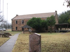 | Fort Belknap | building | 1966 | 66000824 |
 | Graham Post Office | building | 1999 | 99000724 |
 | National Theater | building | 1993 | 93000565 |
 | State Highway 120 Bridge at the Brazos River | structure | 2018 | 100002132 |
| Street, Spencer Boyd, Houses | building | 1984 | 84002005 |
Drawn when these were printed as single large sheets: the town seen from the air, and the county divided into its farms with every owner named. Each opens the original at the Library of Congress.



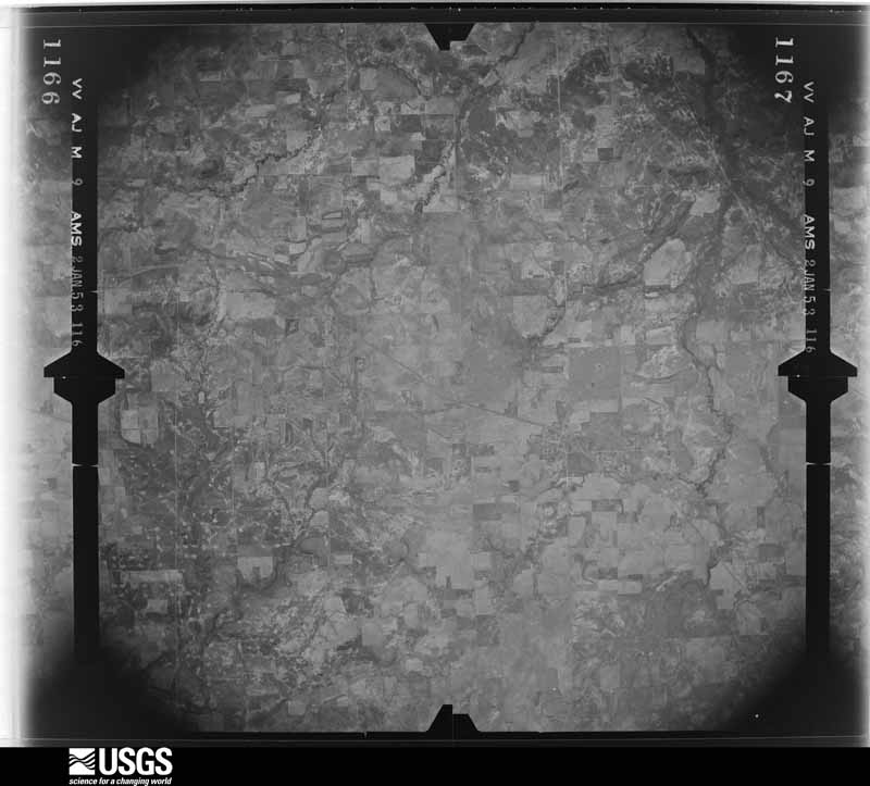
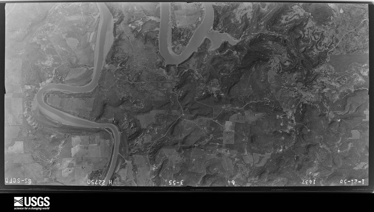
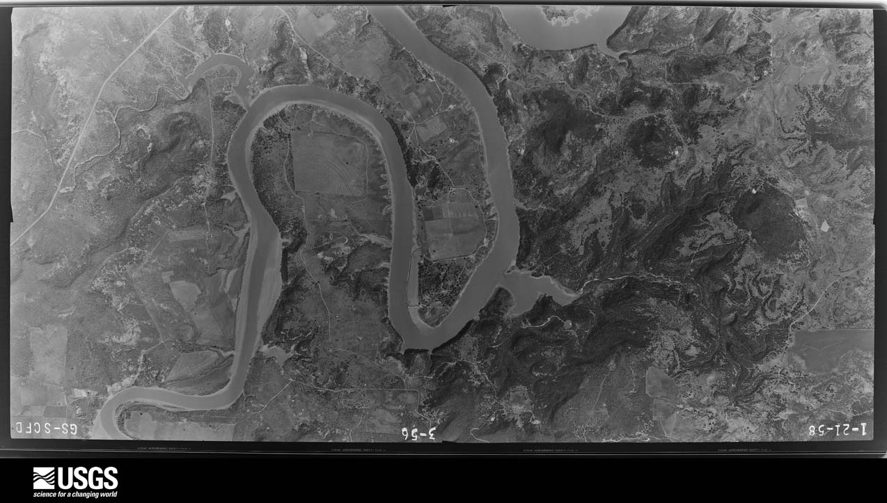
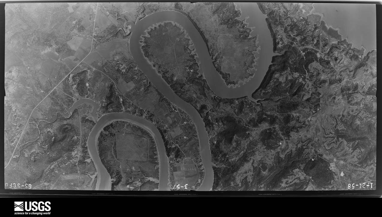
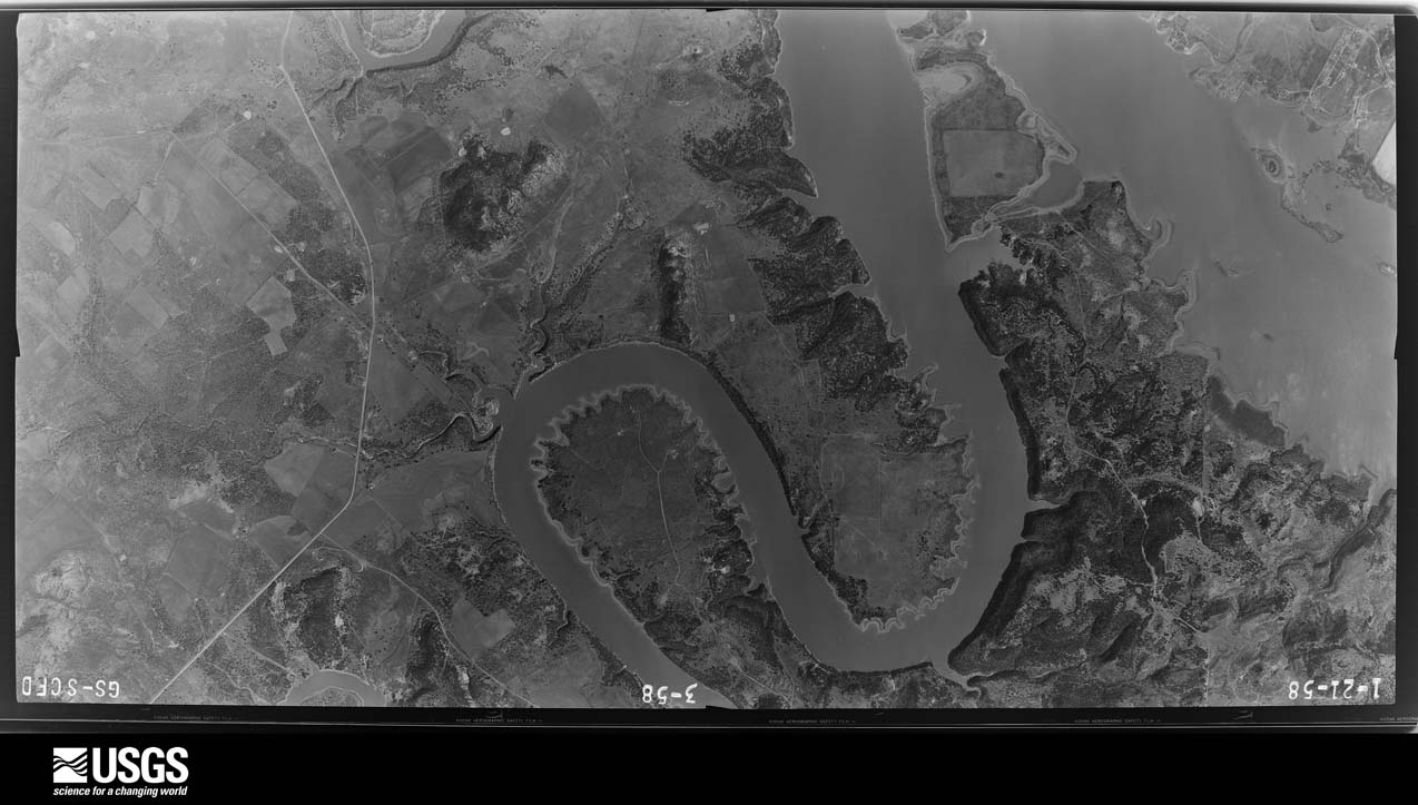
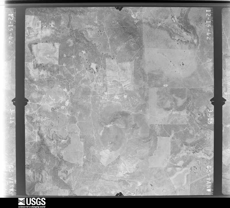
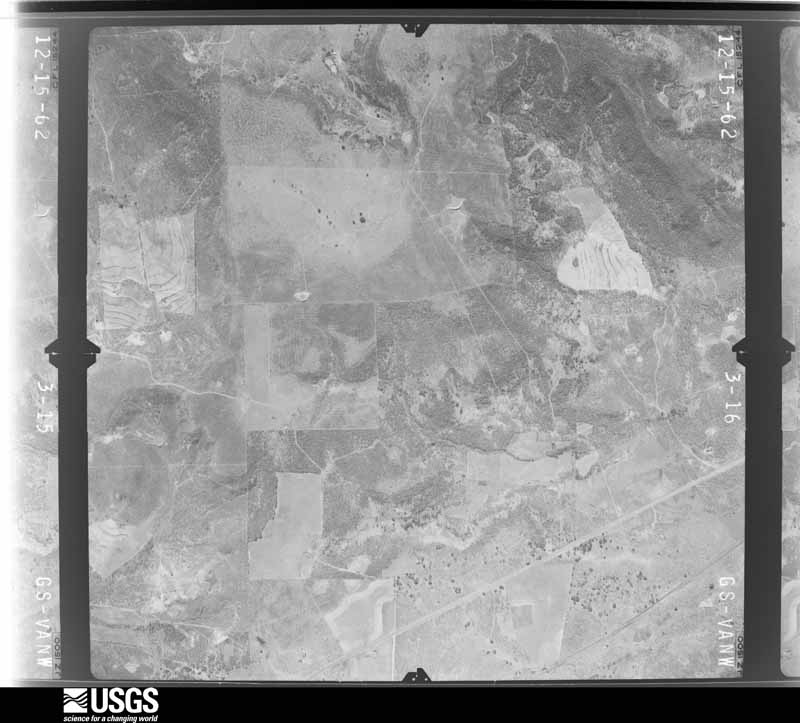
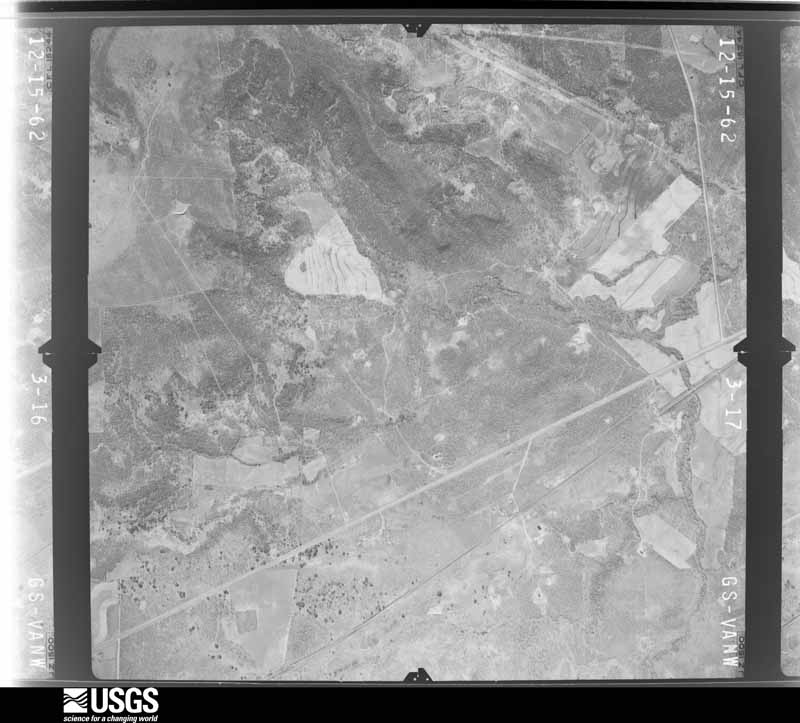
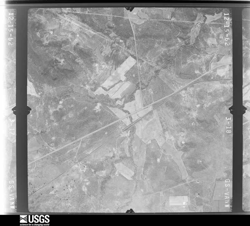
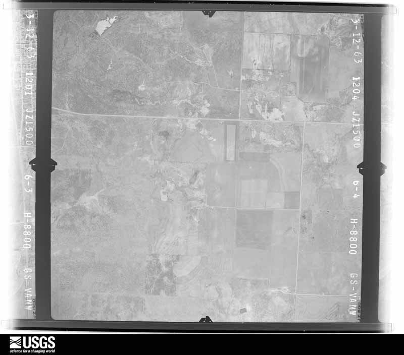
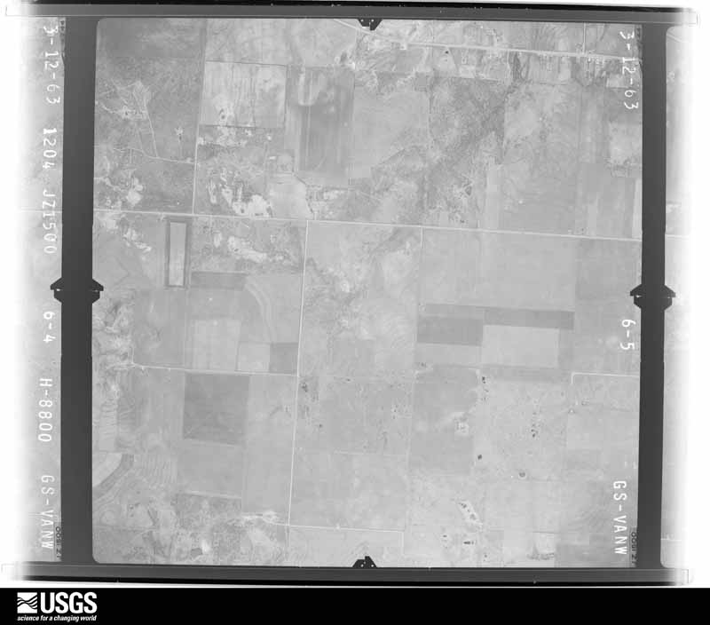
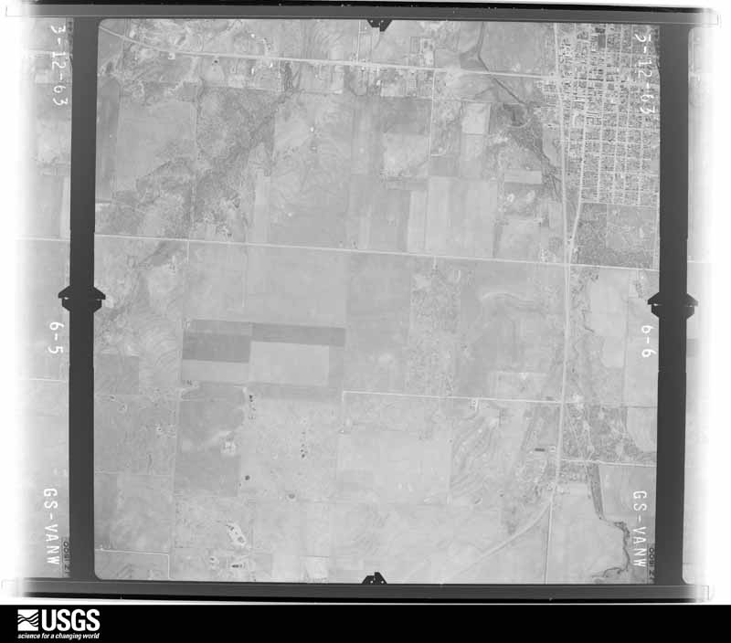
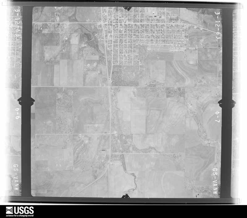
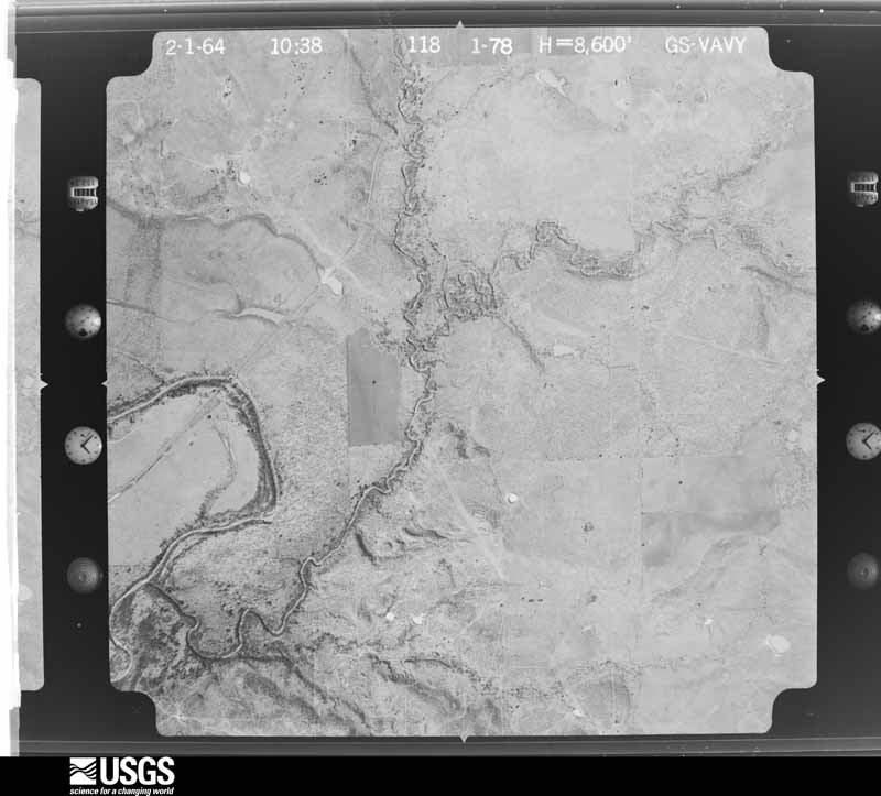
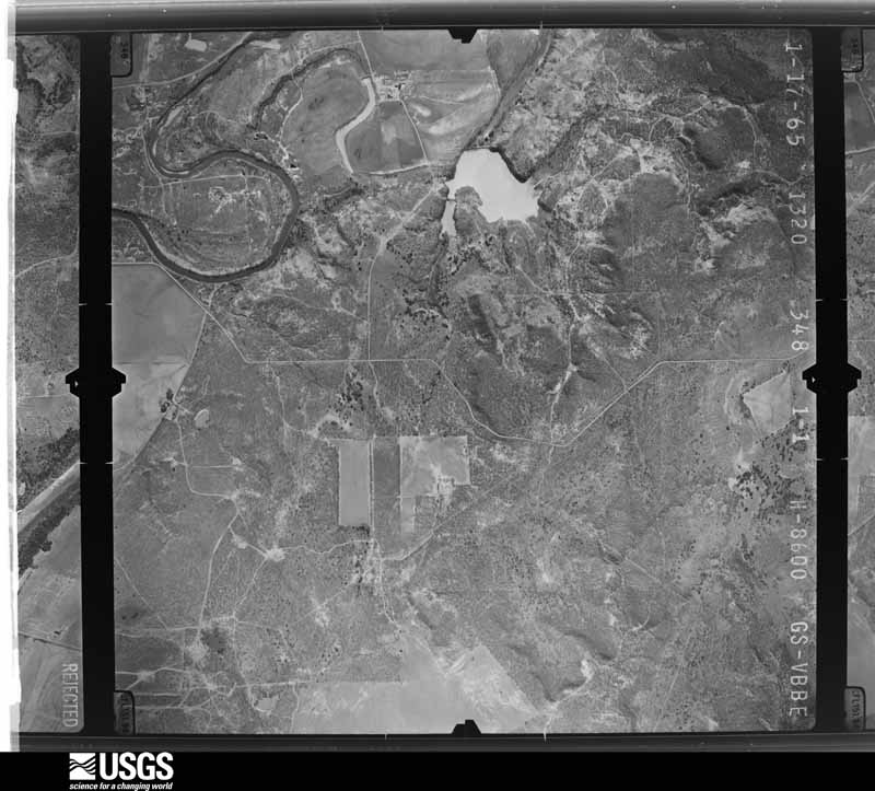
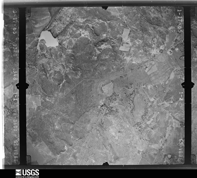
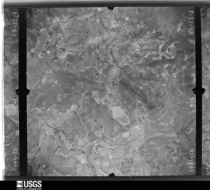
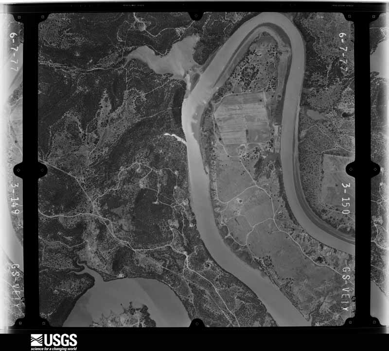
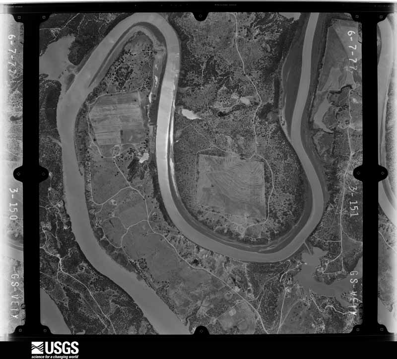
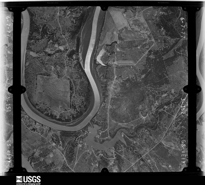
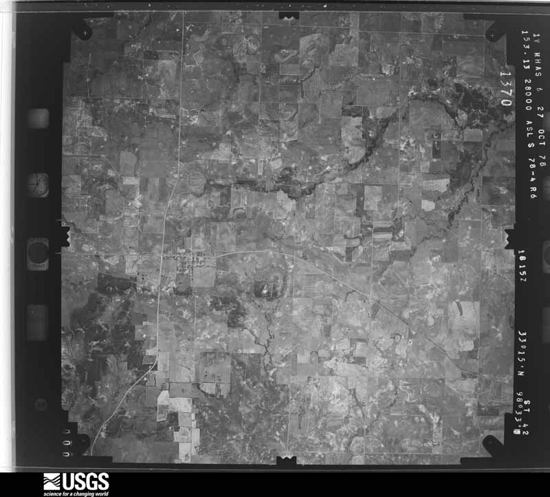
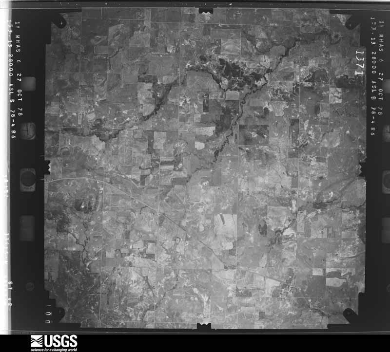
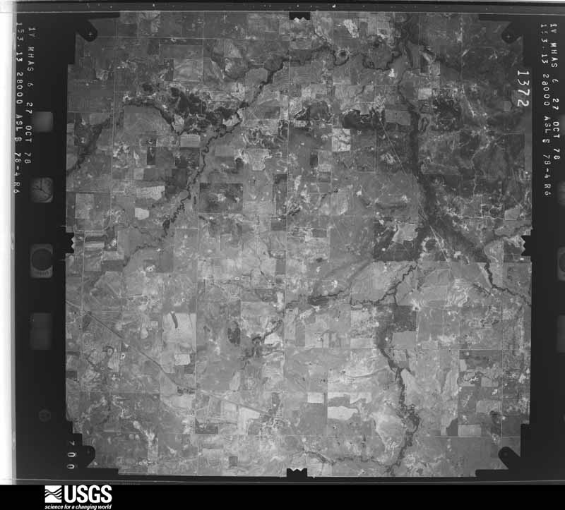
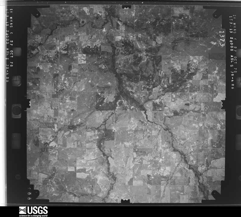
Flown by the U.S. Geological Survey between 1937 and 1989, the Aerial Photo Single Frames collection is the definitive mid-century view of the land: fields, roads and rivers as the camera saw them. The Survey holds 1,017 frames inside the rectangle that bounds this county; the 46 frames below were taken over the county itself, chosen across the decades of flights (at most four a year from that rectangle), so one flight cannot crowd out the rest. The full set is free to browse and download at EarthExplorer under the dataset Aerial Photo Single Frames.






















The thermometers that kept this county's weather, and the gages that measured the flow of its streams, as the federal records hold them. The extremes below are measured values from those records, not estimates.
Who lived here in 1950, one enumeration district at a time, as the Census Bureau described each district. Each row opens its official National Archives result, with Population Schedules and ED Maps available there.
Every wildfire the federal occurrence database records inside this county: 1,117 of them, burning about 59,626 acres. 46 started naturally and 16 were recorded as arson. Each settlement page carries the fires within five miles of it.
| Reported cause | Fires |
|---|---|
| Missing data/not specified/undetermined | 403 |
| Equipment and vehicle use | 288 |
| Debris and open burning | 189 |
| Power generation/transmission/distribution | 144 |
| Natural | 46 |
| Smoking | 17 |
| Arson/incendiarism | 16 |
| Misuse of fire by a minor | 7 |
| Recreation and ceremony | 6 |
| Fireworks | 1 |
The five largest, by the area the report gives. None of them was recorded as arson.
| Date | Cause | Size | Reported by | Name on the report |
|---|---|---|---|---|
| 9 April 2009 | Missing data/not specified/undetermined | 27,876 acres | Texas A & M Forest Service | CEMENT MOUNTAIN COMPLEX |
| 16 April 2011 | Missing data/not specified/undetermined | 7,500 acres | Texas A & M Forest Service | BRYSON COMPLEX |
| 30 January 2008 | Missing data/not specified/undetermined | 2,000 acres | Texas A & M Forest Service | S & S FIRE |
| 3 July 2018 | Equipment and vehicle use | 1,014 acres | Texas A & M Forest Service | 209 |
| 13 October 2019 | Debris and open burning | 750 acres | Texas A & M Forest Service | DUSTIN HUDSON |
| 22 October 2019 | Debris and open burning | 600 acres | Texas A & M Forest Service | BILL WHITE#1 |
| 19 June 2011 | Natural | 600 acres | Texas A & M Forest Service | SANDERS FIRE |
| 17 April 2011 | Power generation/transmission/distribution | 500 acres | Texas A & M Forest Service | ROUCKY MOUND |
Every settlement page carries the fires within five miles of it - see the settlement index below.
The NOAA Storm Events Database holds 588 reports for this county, causing 2 deaths, 116 injuries and about $1,209,175,190 in recorded property damage. Each settlement page carries the reports that name it.
| Kind of event | Reports |
|---|---|
| Hail | 353 |
| Thunderstorm Wind | 136 |
| Tornado | 52 |
| Flash Flood | 33 |
| Flood | 7 |
| Lightning | 4 |
| Heavy Rain | 2 |
| Winter Weather | 1 |
The most serious of them, by death, then injury, then recorded damage. The accounts are quoted exactly as the forecast office filed them.
| When | Event | Place named | Harm | What the report says |
|---|---|---|---|---|
| May 1951 | Tornado (F4) | not stated | 2 killed, 100 hurt, $2,500,000 | no account filed |
| October 1979 | Tornado (F2) | not stated | 5 hurt, $250,000 | no account filed |
| October 1998 | Tornado (F1) | Graham | 3 hurt, $700,000 | An intermittent tornado tracked from northwest of Graham to southeast of Graham before ending on the Young-Jack county line just west of Bryson in Jack county. Sixty buildings were damaged, two mobile homes were destroyed and a radio tower was blown down. |
| April 1985 | Tornado (F2) | not stated | 2 hurt, $250,000 | no account filed |
| June 1979 | Tornado (F3) | not stated | 2 hurt, $250,000 | no account filed |
| March 2020 | Tornado (EF0) | South Bend | 2 hurt | A severe thunderstorm emerged out of Stephens County, moving into the southern portions of Young County. A tornado developed near the South Bend region, where damage occurred to several homes and businesses. The tornado continued moving northeast, paralleling HWY 67 toward Graham. The tornado then veered slightly to the east as it approached Sidney Mountain, crossing HWY 67 just south of Rosser Ranch Rd. The tornado struck multiple homes along Rosser Ranch Rd, leaving behind a swath of damage before moving over open fields again. The tornado continued moving east causing damage to one additional structure along State HWY 16. Further east, the damage along Canyon Road did not exhibit tornadic origins. Rather, it was likely caused by the storm's rear flank downdraft. Maximum winds with this tornado were 110 mph, and the maximum width was about 0.20 miles. |
| November 1958 | Tornado (F2) | not stated | 1 hurt, $250,000 | no account filed |
| March 2020 | Tornado (EF0) | Bunger | 1 hurt, $3,000 | The same thunderstorm that produced the tornado near South Bend produced another tornado to the east, just south of Pettus Ln and Old Hwy 16. This storm moved north, mainly causing tree damage. There was one home in the path which sustained minor roof damage. The tornado dissipated shortly after damaging the house. Maximum winds with this tornado were near 80 mph with a maximum width of 120 yards. |
| May 1995 | Thunderstorm Wind | North CentralTexas | $1,200,000,000 | Just after 1730 CDT, a thunderstorm developed rapidly on the Palo Pinto/Parker County line ahead of an intense squall line over the western part of north Texas. This storm quickly became severe, producing hail up to golf ball-size 18 inches deep across southern parts of Parker County, and flash flooding resulting in two deaths. The storm continued to intensify as it moved into Tarrant County around 1900 CDT, producing baseball-size hail in Benbrook. As the storm moved east-northeast across Fort Worth, softball-size hail was reported at many locations. At Mayfest, a large outdoor festival located at Trinity Park in Fort Worth, an estimated 10,000 people were caught in the open with little available shelter. Hail up to softball-size injured many people. The storm continued moving east-northeast across Tarrant County producing large hail, wind damage, and flash flooding producing rainfall, with one flash flood death. At 1948 CDT, as the storm began moving into Dallas County, the squall line that was to the west merged with the severe thunderstorm. This merger resulted in record rainfall and massive flash flooding the remainder of the night across Dallas County, with 17 people drowned and many stranded by high water. Total estimated damage across Parker, Tarrant, and Dallas counties, from this storm, is estimated at over $1.2 billion, the costliest thunderstorm event in the history of the United States. |
| March 2004 | Tornado (F1) | South Bend | $500,000 | Several mobile homes were blown over in Lively Oaks, the upper section of a communications tower was blown over, and numerous trees and barns were destroyed south of Graham. The tornado track continued east northeast into Jack County before dissipating near Bryson. |
| April 1994 | Hail | Graham | $500,000 | Baseball-size hail damaged 20 homes and 16 cars. |
| June 2011 | Hail | Graham | $300,000 | Several sources reported quarter to golfball sized hail in Graham. The local newspaper reported hundreds of homes and vehicles were damaged by the hail. |
| April 2000 | Tornado (F3) | Olney | $300,000 | A large tornado was reported from near the county line (between Elbert and Padgett) to east of Olney. A 100 year old home was completely destroyed one mile south of the Olney Airport. A total of three homes and two motor homes were destroyed. Damage was reported to a nursing home, barns, power lines and trees. Most of the damage, however, occurred in open country. |
| April 1985 | Tornado (F3) | not stated | $250,000 | no account filed |
| April 1976 | Tornado (F2) | not stated | $250,000 | no account filed |
| April 1976 | Tornado (F2) | not stated | $250,000 | no account filed |
| April 2010 | Flood | Markley | $200,000 | Rainfall totals over 6 over the weekend resulted in Lake Graham overflowing its banks and flooding the nearby land. Also, flooding along the Brazos River backed up into area creeks and streams resulting in widespread flooding around the county. A high water rescue of three teenagers was performed on April 18th around 4 pm CDT when rising flood waters pushed their car off Power Plant Road in Graham. Another vehicle nearly got stuck in this same area. Rising waters also flooded Graham Bible Church where several inches of water was found inside the building, and the water in the parking lot was almost waist deep. Fireman's Park in Graham was under water. Several major roadways were closed on the 18th due to high water: HWY 380 West at Elm Creek, HWY 61 near Spivey Hill, HWY 16 north at the Archer Co line, and HWY 578. All roads were re-opened by the morning of the 19th. |
| July 2000 | Thunderstorm Wind | Olney | $200,000 | A straight line wind was estimated at 90 mph. The wind blew down a large building under construction; crushing a truck. A tree was blown onto a car and a small store was destroyed. |
| April 2016 | Hail | Murray | $100,000 | A trained spotter reported golf ball sized hail approximately one mile west of Murray, TX. |
| June 2009 | Lightning | Graham Muni Arpt | $100,000 | A lightning strike is believed to have started a fire that burned the saltwater disposal tanks on Highway 16 South. |
| January 2026 | Thunderstorm Wind | Olney | $80,000 | Emergency manager reported a southwest to northeast swath of damage near Olney. Multiple power poles were snapped, roofs and carports were damaged, a short concrete block dividing wall was destroyed, and a silo tipped over onto a truck. Additionally, a resident's bee hives were blown away. Damage was consistent with 80 to 95 mph winds. |
| May 2013 | Tornado (EF1) | Eliasville | $80,000 | Trained spotters observed a tornado outside of Eliasville. This was the second of two tornadoes this day. This tornado was very narrow, but produced EF-1 damage to a home. This tornado moved from the northeast to the southwest. |
| May 2008 | Thunderstorm Wind | Olney | $75,000 | Hangars were damaged at Olney Airport. Trees, power poles, and fences were blown down along FM 2178, West Payne Street, West Elm Street, and West Main Street. |
| May 2015 | Hail | Olney Muni Arpt | $60,000 | Two inch diameter hail was reported near the Graham Airport. |
| May 2013 | Hail | Graham | $60,000 | Hail increased to the size of baseballs in Graham. |
| May 2013 | Hail | Graham | $60,000 | An off duty National Weather Service meteorologist reported another round of hail in Graham. The hail was at least the size of a chicken egg. |
| May 2020 | Hail | Loving | $50,000 | Golf ball to baseball sized hail was reported by broadcast media and trained spotters in the city of Loving, TX. |
| May 2013 | Hail | Graham | $50,000 | Hail to the size of a chicken egg was reported on the southwest side of Graham. |
| May 2013 | Hail | Olney | $50,000 | The Olney Emergency Manager reported hail to the size of a baseball within the city. |
| April 2012 | Hail | Graham | $50,000 | Ping pong to golf ball sized hail was reported in Graham. |
| May 2011 | Thunderstorm Wind | Olney | $50,000 | Two local businesses were damaged, homes suffered minor damage, and numerous trees were uprooted around Olney. |
| May 2024 | Thunderstorm Wind | Graham | $40,000 | Large tree limbs were broken and trees were uprooted west of Graham along Hwy 67 and also in and around Graham. Lightweight metal structures, outbuildings, and roofs were also damaged. |
| April 2014 | Hail | Newcastle | $40,000 | The Young County Emergency Manager reported golf ball sized hail at Fort Belknap. |
| June 2011 | Hail | Eliasville | $40,000 | Ping pong to golfball sized hail was covering the ground in Eliasville. |
| April 2002 | Thunderstorm Wind | Olney | $40,000 | Extensive roof, tree, and power line damage. |
| April 2014 | Thunderstorm Wind | Murray | $30,000 | Young County Volunteer Fire Departments reported a roof was torn off of a house in Murray. |
| June 2012 | Thunderstorm Wind | Newcastle | $30,000 | Downburst winds caused damage in Newcastle. Large trees were knocked down; some of the trees were a foot in diameter. Power lines and power poles were also knocked down. Light roof damage was reported around the town, and a few 15'x15' outbuilding were blown up against houses. |
| April 2012 | Hail | South Bend | $30,000 | Golf ball sized hail was reported in South Bend. |
| June 2008 | Thunderstorm Wind | South Bend | $30,000 | Numerous power poles and trees were blown down. Signs were also damaged. In Graham, a carport was blown onto power lines on Alford Street. |
| May 2008 | Thunderstorm Wind | Graham | $30,000 | Trees were uprooted and a carport was damaged. |
| March 2007 | Lightning | Newcastle | $30,000 | A lightning strike struck a mobile home and destroyed it. No one was injured. |
| March 2008 | Thunderstorm Wind | Graham | $25,000 | An awning at a house on First Street was torn down by thunderstorm winds. Oak trees were split and blown down. |
| June 2006 | Thunderstorm Wind | Graham | $25,000 | A tree fell on a transformer knocking out power to about 20,000 people. |
| June 1997 | Thunderstorm Wind | Olney | $25,000 | Strong winds blew down trees and power lines, and damaged homes. |
| May 1983 | Tornado (F1) | not stated | $25,000 | no account filed |
| April 1980 | Tornado (F1) | not stated | $25,000 | no account filed |
| June 1979 | Tornado (F2) | not stated | $25,000 | no account filed |
| September 1955 | Tornado (F2) | not stated | $25,000 | no account filed |
| August 1952 | Tornado (F1) | not stated | $25,000 | no account filed |
| April 2025 | Thunderstorm Wind | Graham | $20,000 | Broadcast media reported a downed power pole and sheet metal outbuilding blown apart east of Graham on Highway 380. There were also multiple reports of other metal buildings and small structures damaged in and around Graham. |
| September 2025 | Thunderstorm Wind | Olney | $20,000 | Scattered downed trees and sheet metal was removed from buildings throughout Olney. Wooden power poles were leaning, spectator stands at the baseball fields were damaged, and a 40 foot storage container was moved. |
| May 2013 | Hail | Newcastle | $20,000 | Hail to the size of a chicken egg was reported near Newcastle. Quarter and golf ball sized hail was also reported. |
| May 2013 | Hail | South Bend | $20,000 | Golfball to tennis ball sized hail was reported to the west of the city of South Bend. The report was made by the South Bend Fire Department. |
| May 2010 | Flash Flood | Olney | $20,000 | Several roads across the city of Olney had to be closed due to high water including Highway 79 and Highway 114. There was one report of a car stalled due to high water. Evacuations were also conducted along Bluebonnet Dr. and a few apartments experienced minor flooding. |
| April 2008 | Hail | Newcastle | $20,000 | Baseball to golfball-size hail was reported south of Olney. |
| May 2007 | Flash Flood | Olney | $20,000 | Streets had to be closed and cars were stranded in Olney. Two high water rescues were required. Water rushed through the back door of a convenience store and down the aisles. |
| May 2007 | Flash Flood | Graham | $20,000 | Several cars were stranded in high water. Local residents reported some damage due to the high water. |
| June 2002 | Thunderstorm Wind | Graham | $20,000 | Part of a church roof was blown off, the canopy was blown off a gas station, several windows broken, and damage to several parked cars from wind blown debris. |
| October 2013 | Heavy Rain | Graham | $15,000 | Steady rainfall fell over Graham for several hours with periods of heavy rainfall. This resulted in street flooding around the city. The water was up to the front bumper of cars at a few intersections. |
| June 2011 | Thunderstorm Wind | Graham | $15,000 | The roof of a metal garage was blown off by thunderstorm winds in Graham. Power lines were also knocked down. The automated weather station at the airport (KRPH) measured a 47 mph wind gust at the time. |
The Survey's mineral resources record lists 7 workings inside this county. 4 still produce and 3 are closed or unrecorded. Each settlement page carries the workings within five miles of it.
| Commodity | Workings |
|---|---|
| Sand and Gravel, Construction | 5 |
| Copper | 1 |
| Limestone, General | 1 |
The least common of them first, because a county's hundredth gravel pit says nothing its first ten did not.
| Where | Site | Commodity | Status | Recorded |
|---|---|---|---|---|
| Olney-1 | Copper | Occurrence | 1834 | |
| Perry Pit | Limestone, General | Producer | ||
| Avery Sand and Gravel Pit | Sand and Gravel, Construction | Producer | ||
| Pitcock Ready Mix Sand Pit | Sand and Gravel, Construction | Producer | ||
| Pratt Materials Pit | Sand and Gravel, Construction | Producer | ||
| Unknown | Sand and Gravel, Construction | Past Producer | ||
| Unknown | Sand and Gravel, Construction | Past Producer |
Named settlements recorded in the Geographic Names Information System, each with the topographic sheets covering it. Villages, hamlets and abandoned places alike. Each is shown with the nearest named watercourse or landform and the survey quadrangle it falls on.
Newcastle census division · 76372 · On Gibbens Creek · Newcastle quadrangle
10 sheets, 1927 to 1985
No longer a settlement
Graham census division · 76481 · On Gage Creek · Eliasville quadrangle
13 sheets, 1890 to 1985
Graham census division · 76450 · On Farmers Branch · Graham quadrangle
11 sheets, 1924 to 1985
Jean-Loving census division · 76460 · Near Bare Mountain · Markley quadrangle
8 sheets, 1954 to 1985
Newcastle census division · 76372 · On Peveler Creek · Newcastle quadrangle
10 sheets, 1927 to 1985
Graham census division · 76450 · Near Bass Mountain · Graham quadrangle
11 sheets, 1924 to 1985
Newcastle census division · 76372 · On Hamby Branch · Proffitt quadrangle
8 sheets, 1954 to 1985
Newcastle census division · 76372 · On Rabbit Creek · Proffitt Crossing quadrangle
8 sheets, 1954 to 1985
Graham census division · 76481 · On Clear Fork Brazos River · South Bend quadrangle
11 sheets, 1925 to 1985
Graham census division · 76450 · On Farmers Branch · Graham quadrangle
11 sheets, 1924 to 1985
The vanished settlements of Young County: the places named above that are no longer on the map.