 Block
BlockActon, Texas
21 topographic sheets cover this place, the earliest surveyed in 1889 and the latest in 1985. It stands in the Granbury East census division. It lies in ZIP code area 76049. It stands on Ike Branch. The Survey maps it on the Acton quadrangle.
Topographic sheets covering this place
7 surveys from 21 printed sheetsMatched by testing this settlement's coordinate against the published boundary of every sheet in the United States Geological Survey's historical collection. Each opens the scanned sheet at the Survey.
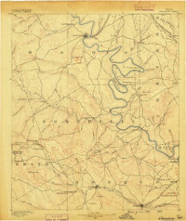
- 1889 USGS Granbury quadrangle1:125000, 6 printings
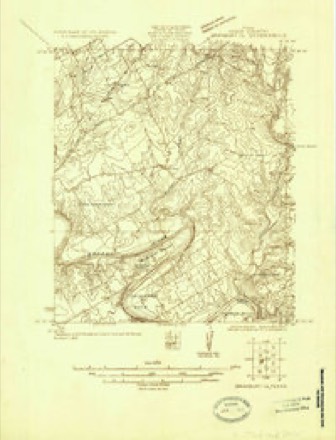
- 1923 USGS Granbury 1-b quadrangle1:48000
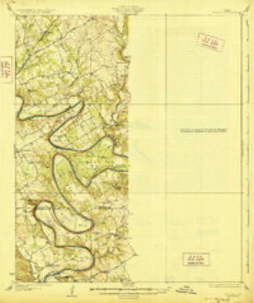
- 1928 USGS Godley quadrangle1:62500, 2 printings
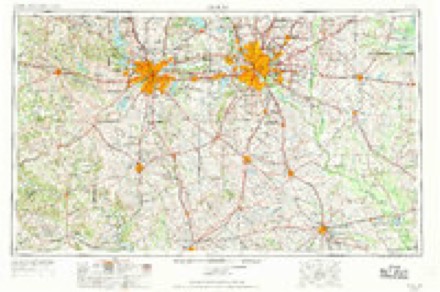
- 1954 USGS Dallas quadrangle1:250000, 4 printings
- 1958 USGS Dallas quadrangle1:250000
- 1961 USGS Acton quadrangle1:24000, 5 printings
- 1985 USGS Cleburne quadrangle1:100000, 2 printings
Fires near this place
115 since 2003Regional context, not property-specific evidence. The federal wildfire occurrence database lists 115 fires within 5 miles of Acton between 2003 and 2020, burning about 2,350 acres in total. 5 started naturally. 1 was recorded as arson. Distance is straight-line from the map coordinates, so a fire counted here may appear on a neighbouring settlement's page as well.
| Reported cause | Fires |
|---|---|
| Missing data/not specified/undetermined | 56 |
| Debris and open burning | 32 |
| Equipment and vehicle use | 14 |
| Smoking | 5 |
| Natural | 5 |
| Power generation/transmission/distribution | 1 |
| Arson/incendiarism | 1 |
| Railroad operations and maintenance | 1 |
The most recent of them, most recent first, with the day each was reported and the service that recorded it.
| Date | Cause | Size | Reported by | Name on the report |
|---|---|---|---|---|
| 5 September 2011 | Missing data/not specified/undetermined | 5.0 acres | Texas A & M Forest Service | BUTTERCUP CT. |
| 27 September 2011 | Missing data/not specified/undetermined | 1.0 acres | Texas A & M Forest Service | HIDDEN COVE TRL. |
| 26 September 2009 | Debris and open burning | 1.0 acres | Texas A & M Forest Service | 3900 RHEA CT. |
| 25 September 2015 | Debris and open burning | 15 acres | Texas A & M Forest Service | CRUBE COURT |
| 23 September 2012 | Debris and open burning | 1.0 acres | Texas A & M Forest Service | SMALL FIRE |
| 16 September 2011 | Natural | 1.0 acres | Texas A & M Forest Service | M AND M RANCH RD. |
| 1 September 2009 | Missing data/not specified/undetermined | 2.0 acres | Texas A & M Forest Service | OLD GRANBURY ROAD |
| 6 August 2012 | Natural | 20 acres | Texas A & M Forest Service | FIRE LARGE BRU. |
Settlements close enough to share some of these fires:
Mines and quarries near this place
1 within 5 milesRegional context, not property-specific evidence. The federal mineral resources record lists 1 working within 5 miles of Acton: 1 producer. All of them still produce. What was taken out: Stone, Crushed/Broken. Distance is straight-line from the map coordinates, so a quarry counted here may appear on a neighbouring settlement's page as well.
| Where | Site | Commodity | Status | Recorded |
|---|---|---|---|---|
| Cresson Pit | Stone, Crushed/Broken | Producer |
Storms near this place
21 since 1995Regional context, not property-specific evidence. The National Weather Service names Acton in 21 storm reports between 1995 and 2023: 9 thunderstorm wind, 8 hail, 3 flash flood, 1 tornado. No death or injury is recorded in these reports. Each account below is quoted exactly as the forecast office filed it, from the NOAA Storm Events Database, and each date opens the federal record of that event.
| When | Event | Place named | Harm | What the report says |
|---|---|---|---|---|
| May 2013 | Thunderstorm Wind | Acton | $200,000 | Skylights and roofs were damaged at Acton Middle School, northwest of downtown Acton. A tennis court fence, wind screen, and portable bleachers were damaged as well. |
| June 2016 | Flash Flood | Acton | $50,000 | Hood County Sheriff's Department reported significant flooding in the Acton and Decordova areas, including 2 to 3 feet of water in homes and high water rescues needed. |
| August 2012 | Thunderstorm Wind | Acton | $18,000 | Strong thunderstorm winds knocked down a steel roof and metal rack onto 3 vehicles, damaging the cars. |
| April 2007 | Thunderstorm Wind | Acton | $15,000 | In Acton, part of a roof was torn off a house, a small peach tree was uprooted, and lawn furniture was strewn about. A tin roof was blown off a storage building in Cresson. Also in Cresson, a 2' x 4' was blown into an office wall and twelve-inch diameter tree limbs were broken off trees. |
| June 2016 | Flash Flood | Acton | $10,000 | A social media report indicated a vehicle being washed off the road near the intersection of North Gate Rd and Enchanted Rd in the city of Acton, TX. The water was reported to be high and fast moving. |
| August 2010 | Thunderstorm Wind | Acton | $6,000 | A condo in DeCordova Bend Estates sustained minor roof damage due to thunderstorm winds. Also, some large trees were knocked down. |
| March 2017 | Thunderstorm Wind | Acton | $5,000 | Lumin ER in Granbury, TX had to close due to the roof being peeled off of the building. |
| May 2021 | Tornado (EF0) | Acton | $500 | A tornado formed along Davis Road in east Granbury and traveled slowly north-northwest. Spotter videos show the tornado was occurring for approximately 2 minutes with debris consisting mainly of leaves and small branches being lofted into the air. Damage to a car port and some mature trees occurred along the path. The tornado dissipated as it approached Highway 377. Maximum winds were estimated at 65 mph with a width of 50 yards. |
| March 2023 | Hail | Acton | - | Reported via mPing. |
| May 2020 | Hail | Acton | - | Hail reported received via mPing. |
| October 2020 | Thunderstorm Wind | Acton | - | A trained spotter measured a 60 mph wind gust in the Granbury area. |
| May 2015 | Hail | Acton | - | A trained spotter reported golf ball sized hail approximately 4 miles southeast of Granbury, TX in the Pecan Plantation area. |
| June 2003 | Thunderstorm Wind | Acton | - | A tree was blown down by high winds. |
| May 2001 | Thunderstorm Wind | Acton | - | Large tree limbs were blown down. |
| September 2001 | Thunderstorm Wind | Acton | - | Trees were blown down by high winds. |
| May 2021 | Hail | Acton | - | no account filed |
| March 2008 | Hail | Acton | - | no account filed |
| March 2002 | Hail | Acton | - | no account filed |
| March 2000 | Hail | Acton | - | no account filed |
| February 1997 | Flash Flood | Acton | - | no account filed |
| September 1995 | Hail | Acton | - | no account filed |
Nearest settlements
The eight closest, with where each one stands in the county. Distances are straight-line, computed from the Geographic Names Information System coordinates.
| Map | Place | Distance | Sheets |
|---|---|---|---|
| DeCordova | 1.2 miles | 21 | |
| Waples | 3.0 miles | 21 | |
| Fall Creek | 4.0 miles | 21 | |
| El Tesoro | 4.3 miles | 21 | |
| Brazos Bend | 4.4 miles | 19 | |
| Granbury | 5.5 miles | 19 | |
| Pecan Plantation | 5.6 miles | 19 | |
| Mambrino | 5.8 miles | 19 |
Provenance
This settlement is recorded in the Geographic Names Information System as feature 1329192. The sheet list is computed by point-in-boundary test against the United States Geological Survey's historical topographic inventory. Both are works of the United States government and carry no copyright under 17 U.S.C. 105.
Wildfire. Short, Karen C. 2022. Spatial wildfire occurrence data for the United States, 1992-2020 [FPA_FOD_20221014]. 6th Edition. Fort Collins, CO: Forest Service Research Data Archive. https://doi.org/10.2737/RDS-2013-0009.6 Collected with United States Government funding and usable without additional permissions or fees.
Mines and quarries. USGS Mineral Resources Data System (MRDS) https://mrdata.usgs.gov/mrds/ A work of the United States government, no copyright under 17 U.S.C. 105.
Storms. NOAA National Centers for Environmental Information, Storm Events Database https://www.ncei.noaa.gov/stormevents/ A work of the United States government, no copyright under 17 U.S.C. 105. Narratives are quoted verbatim from the National Weather Service report and are not edited or summarised.