 Block
BlockFrom the record
4 National Register listings published here.
Sources: the National Register database, National Park Service
84 topographic sheets cover 23 settlements here, and 4 properties are on the National Register of Historic Places.
4 National Register listings published here.
Sources: the National Register database, National Park Service
Every property in this county listed on the National Register of Historic Places, with the year it was listed and the federal nomination document.
| Photograph | Property | Type | Listed | Reference |
|---|---|---|---|---|
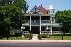 | Baker-Carmichael House | building | 2005 | 05001401 |
| Granbury Elementary School | building | 2022 | 100007355 | |
 | Hood County Courthouse Historic District | district | 1974 | 74002080 |
 | Wright-Henderson-Duncan House | building | 1978 | 78002956 |
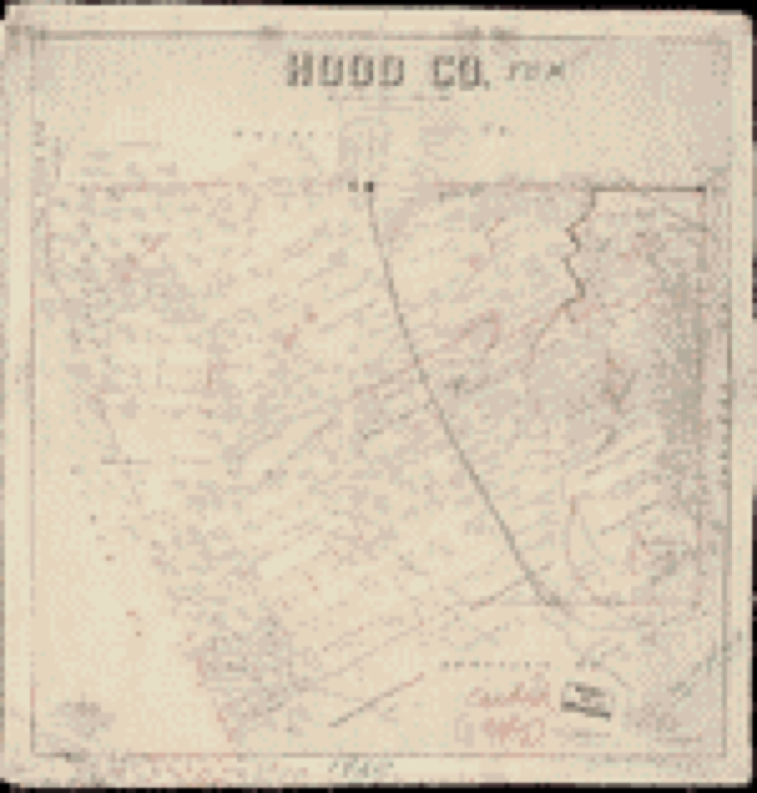
Drawn when these were printed as single large sheets: the town seen from the air, and the county divided into its farms with every owner named. Each opens the original at the Library of Congress.


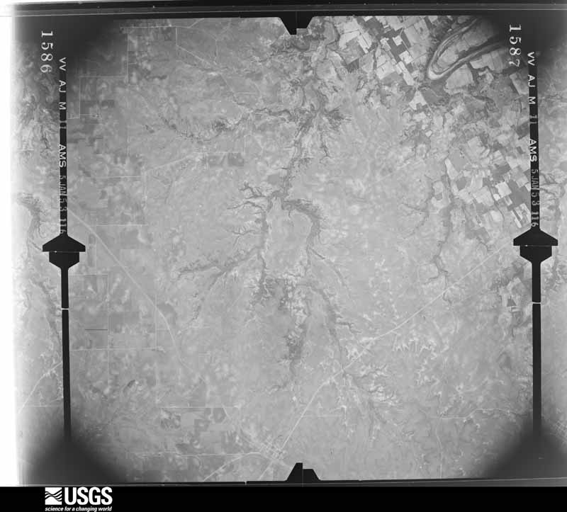
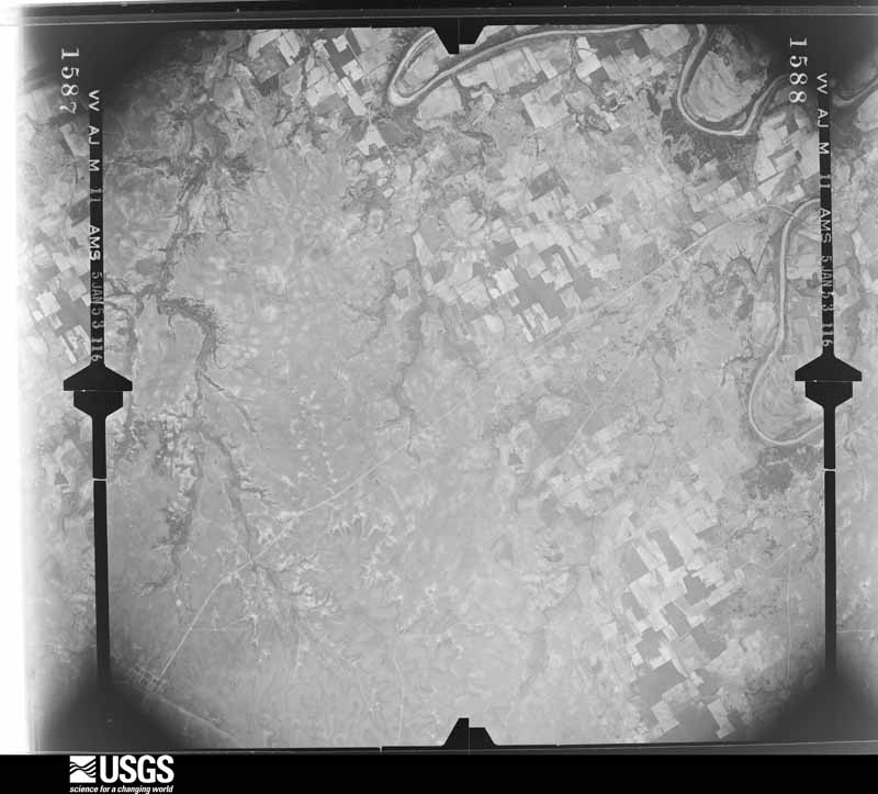
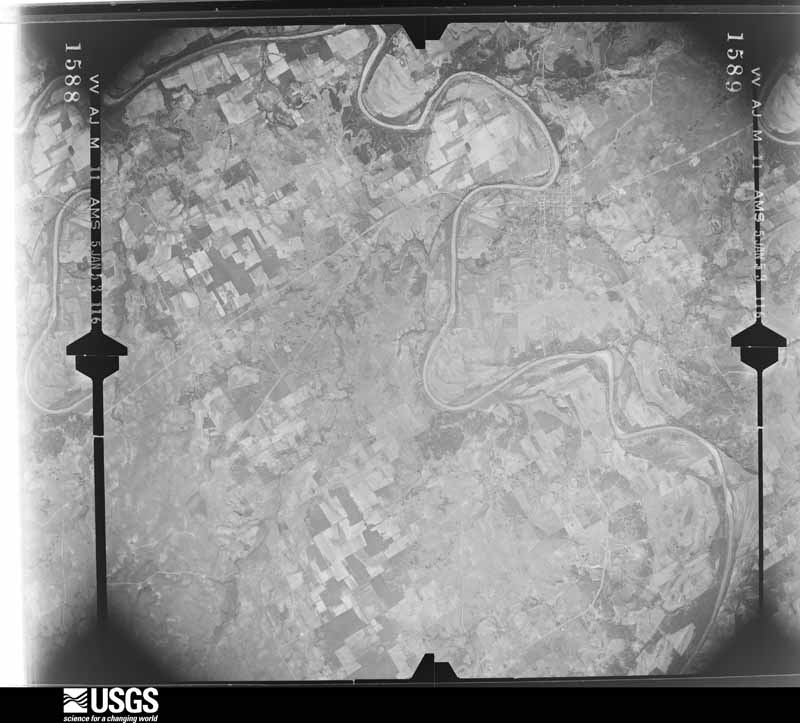
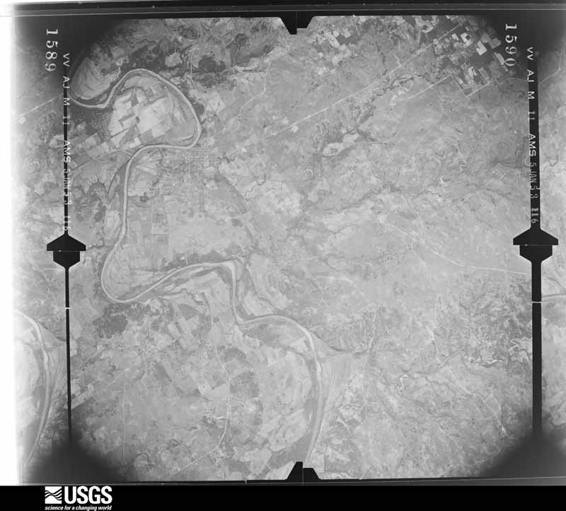
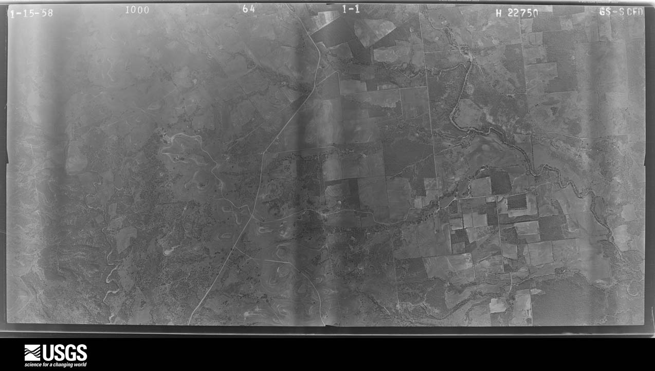
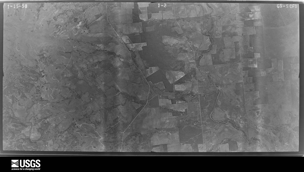
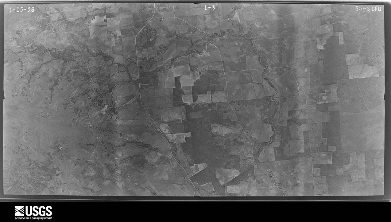
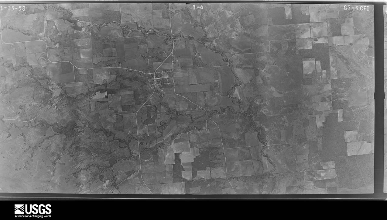
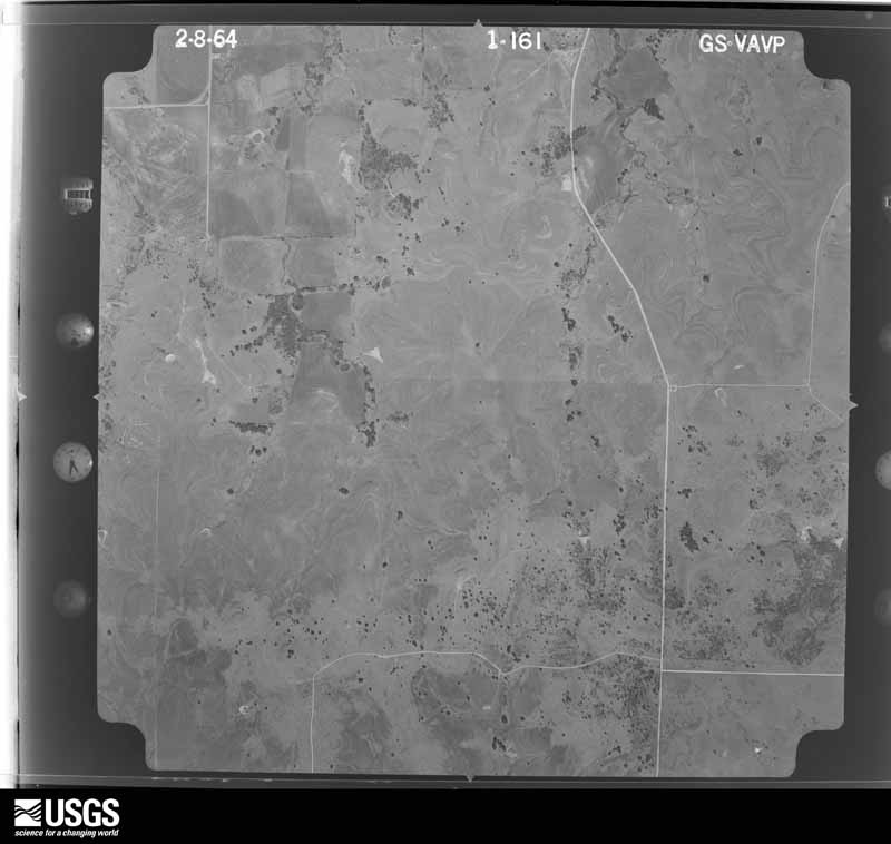
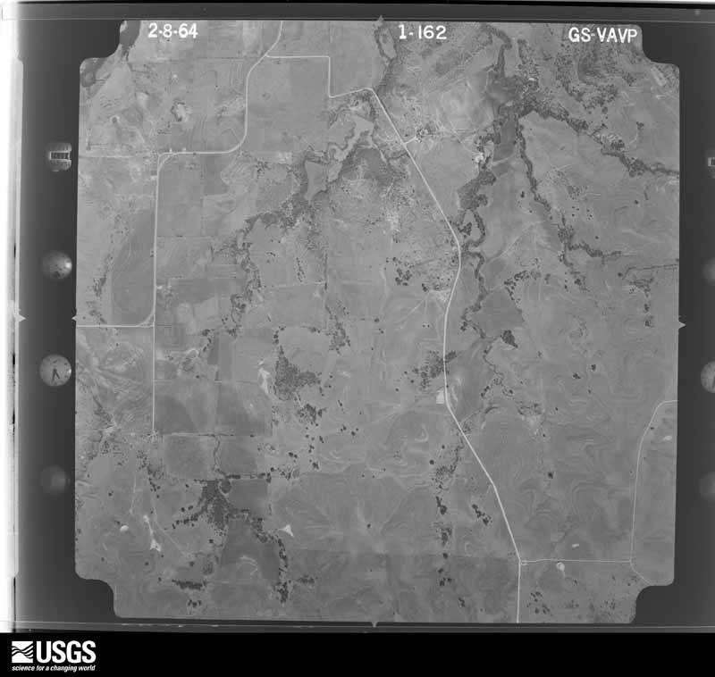
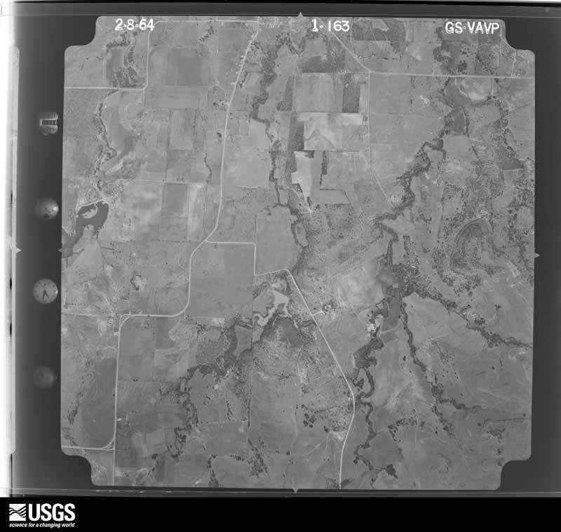
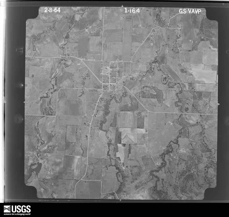
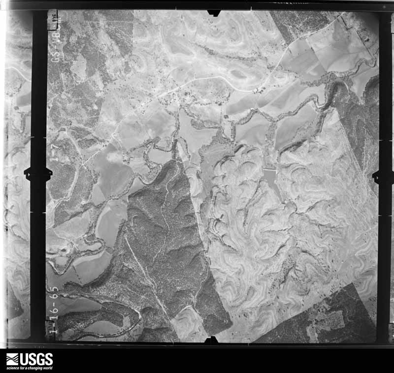
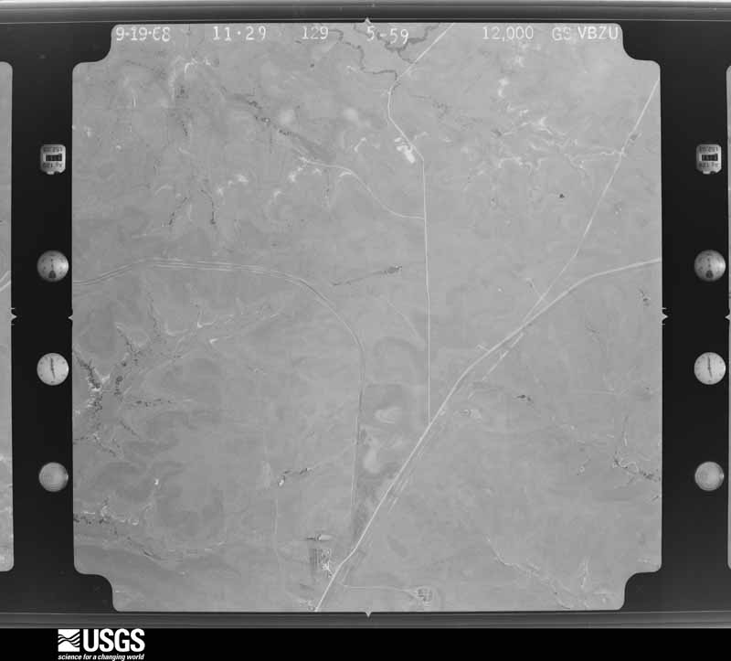
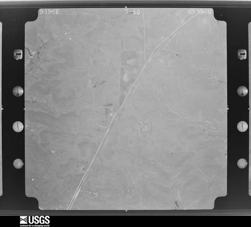
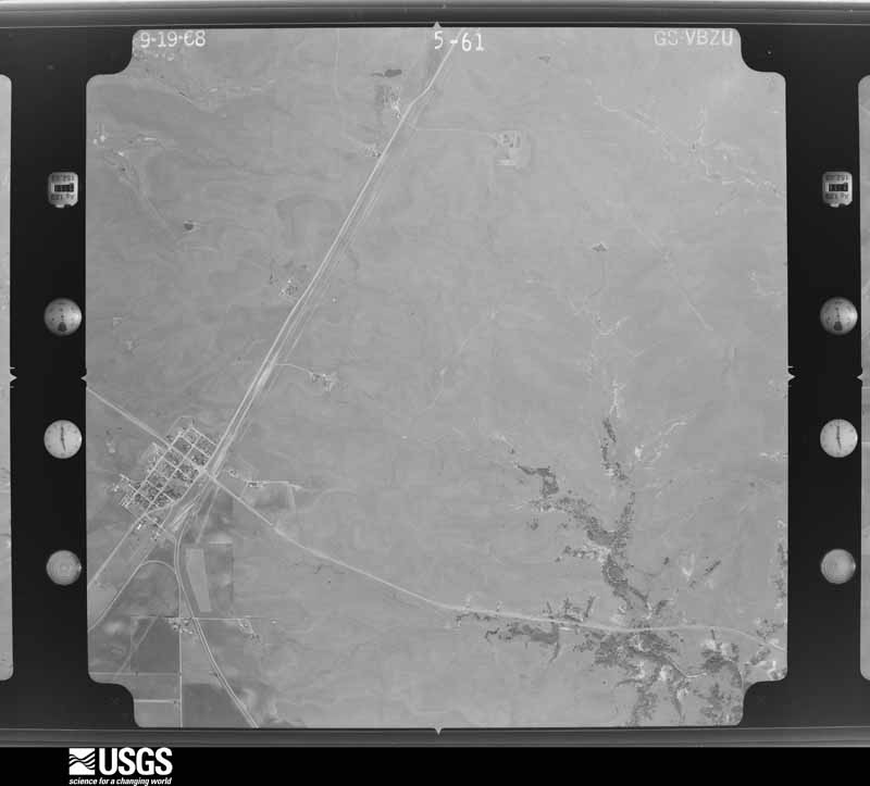
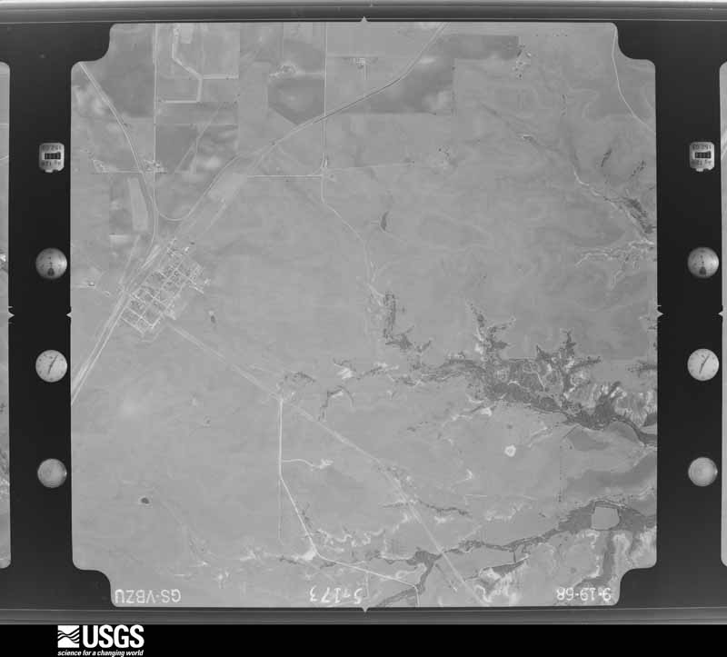
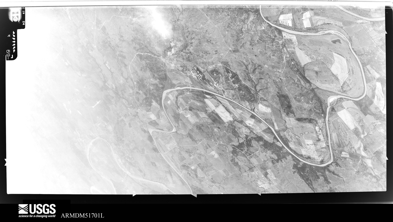
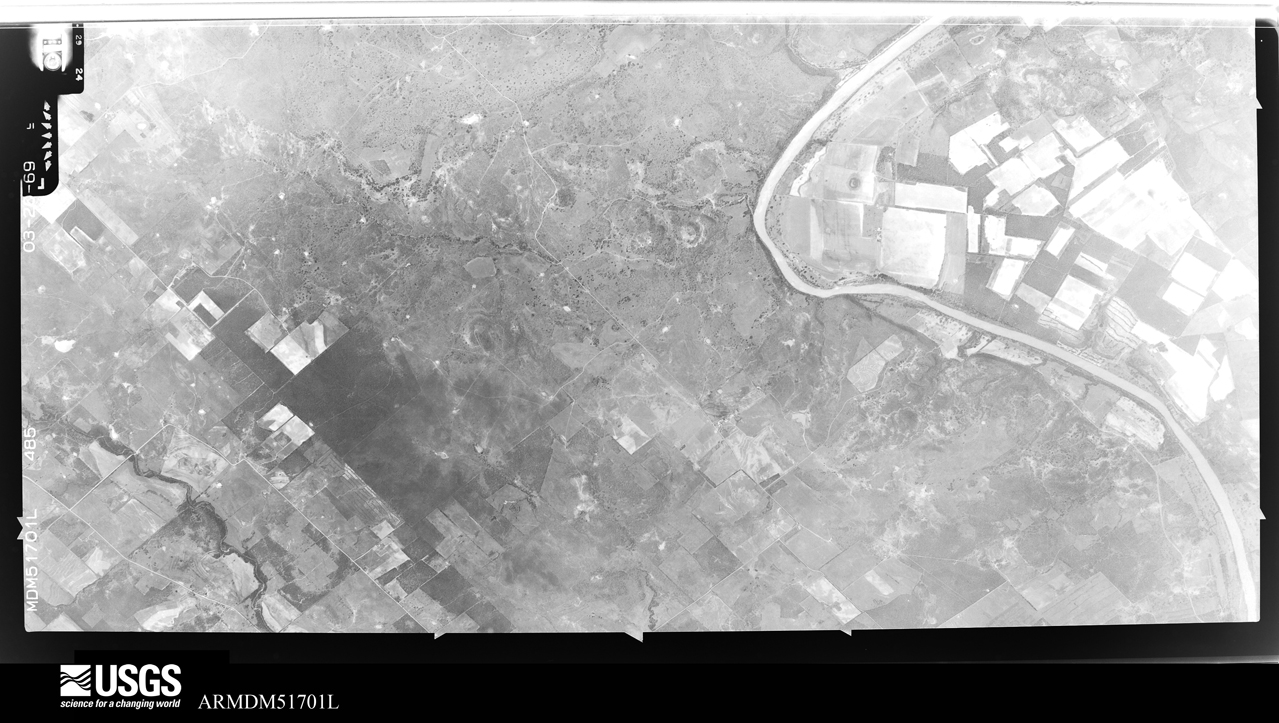
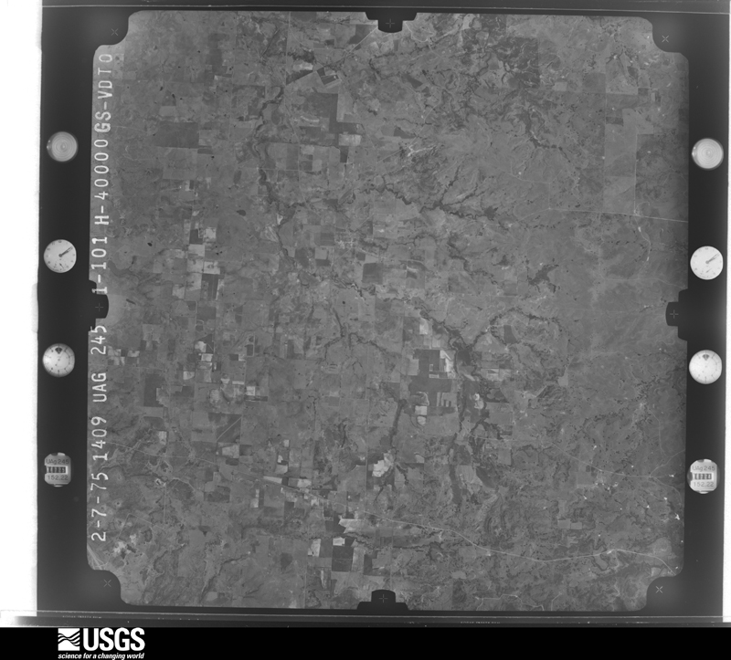
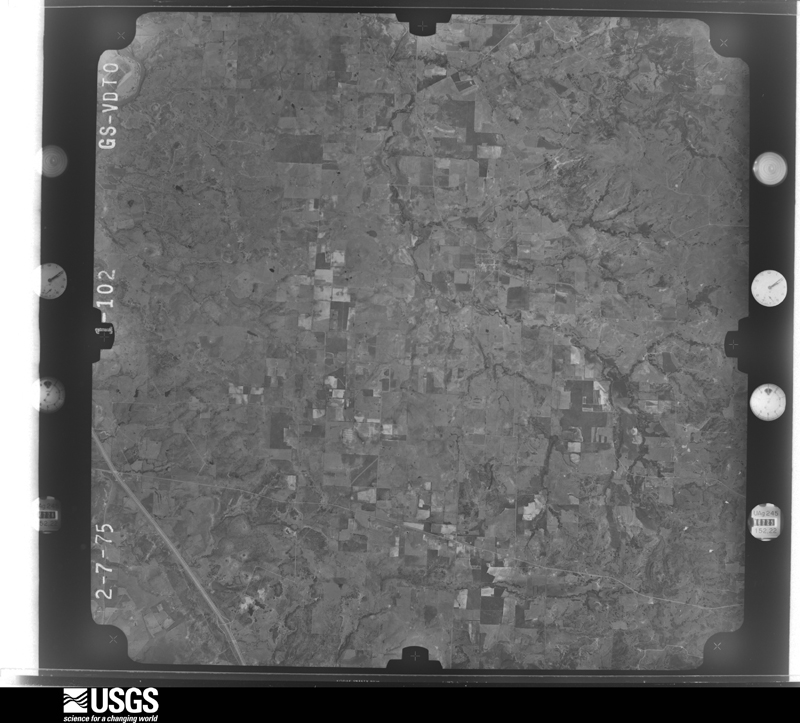
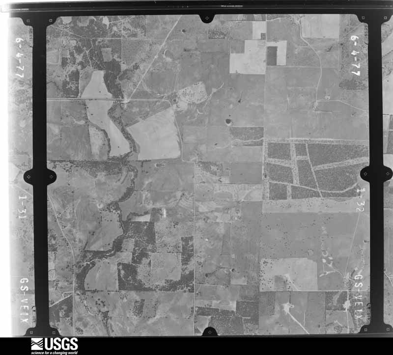
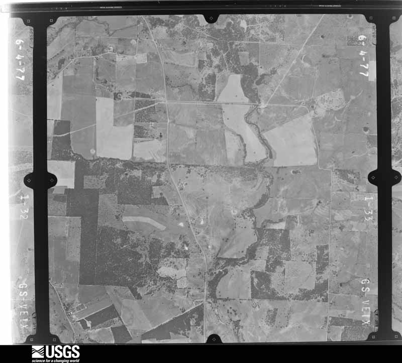
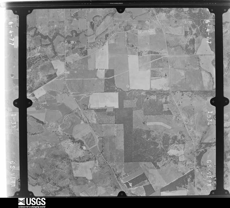
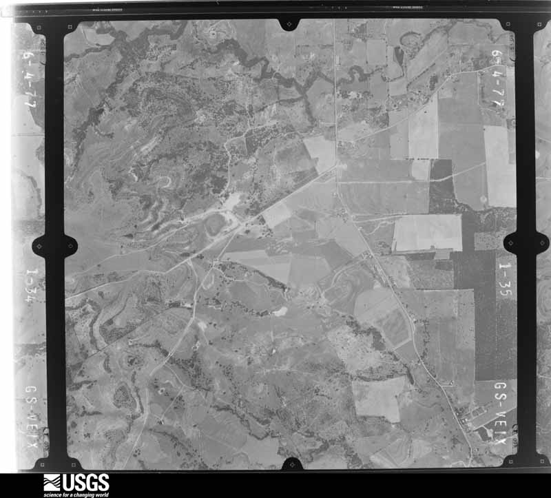
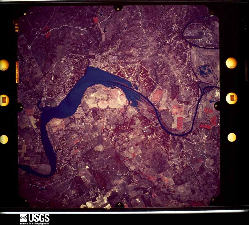
Flown by the U.S. Geological Survey between 1937 and 1989, the Aerial Photo Single Frames collection is the definitive mid-century view of the land: fields, roads and rivers as the camera saw them. The Survey holds 303 frames inside the rectangle that bounds this county; the 30 frames below were taken over the county itself, chosen across the decades of flights (at most four a year from that rectangle), so one flight cannot crowd out the rest. The full set is free to browse and download at EarthExplorer under the dataset Aerial Photo Single Frames.




The thermometers that kept this county's weather, and the gages that measured the flow of its streams, as the federal records hold them. The extremes below are measured values from those records, not estimates.
Who lived here in 1950, one enumeration district at a time, as the Census Bureau described each district. Each row opens its official National Archives result, with Population Schedules and ED Maps available there.
Every wildfire the federal occurrence database records inside this county: 659 of them, burning about 5,927 acres. 16 started naturally and 18 were recorded as arson. Each settlement page carries the fires within five miles of it.
| Reported cause | Fires |
|---|---|
| Missing data/not specified/undetermined | 247 |
| Debris and open burning | 236 |
| Equipment and vehicle use | 101 |
| Arson/incendiarism | 18 |
| Natural | 16 |
| Smoking | 14 |
| Power generation/transmission/distribution | 13 |
| Railroad operations and maintenance | 7 |
| Misuse of fire by a minor | 4 |
| Recreation and ceremony | 2 |
| Fireworks | 1 |
The five largest, by the area the report gives. One of them was set deliberately.
| Date | Cause | Size | Reported by | Name on the report |
|---|---|---|---|---|
| 4 October 2008 | Missing data/not specified/undetermined | 850 acres | Texas A & M Forest Service | not named |
| 2 January 2004 | Arson/incendiarism | 380 acres | Texas A & M Forest Service | NORTH TX - 1 |
| 18 January 2006 | Missing data/not specified/undetermined | 324 acres | Texas A & M Forest Service | OLD GRANBURY |
| 4 October 2008 | Missing data/not specified/undetermined | 300 acres | Texas A & M Forest Service | not named |
| 21 December 2003 | Debris and open burning | 250 acres | Texas A & M Forest Service | NORTH TX - 12 |
| 21 February 2004 | Debris and open burning | 180 acres | Texas A & M Forest Service | NORTH TX - 4 |
| 27 December 2005 | Missing data/not specified/undetermined | 137 acres | Texas A & M Forest Service | NORTH TX - 49 |
| 11 August 2012 | Debris and open burning | 100 acres | Texas A & M Forest Service | CRESSON FIRE |
Every settlement page carries the fires within five miles of it - see the settlement index below.
The NOAA Storm Events Database holds 481 reports for this county, causing 7 deaths, 77 injuries and about $162,258,980 in recorded property damage. Each settlement page carries the reports that name it.
| Kind of event | Reports |
|---|---|
| Hail | 232 |
| Thunderstorm Wind | 152 |
| Flash Flood | 46 |
| Tornado | 30 |
| Flood | 15 |
| Lightning | 3 |
| Heavy Rain | 3 |
The most serious of them, by death, then injury, then recorded damage. The accounts are quoted exactly as the forecast office filed them.
| When | Event | Place named | Harm | What the report says |
|---|---|---|---|---|
| May 2013 | Tornado (EF4) | Mambrino | 6 killed, 54 hurt, $143,000,000 | National Weather Service crews surveyed the damage from the Granbury tornado. The tornado first occurred on the west bank of Lake Granbury / Brazos River. The tornado crossed the lake heading east, towards Davis Road. On the east side of the lake, the tornado damaged several power lines and trees, before hitting the American Legion hall on Davis Road. ||The tornado then took much more of a northerly track through the Rancho Brazos subdivision. This subdivision was severely damaged, with 97 of the 110 homes suffering at least minor damage. Four homes suffered EF-4 damage, and ten others had EF-3 damage. The vast majority of the subdivision had evidence of EF-1 or EF-2 damage. Six individuals lost their lives in this subdivision as a direct result of the tornado. All six were in mobile homes at the time. ||Moving north from the Rancho Brazos subdivision, the tornado dissipated approximately one mile to the north-northeast of the area that suffered the most damage. |
| May 2002 | Lightning | Lake Granbury South | 1 killed | A twelve year old boy was struck and killed by lightning standing on a boat dock at a marina. |
| May 1989 | Tornado (F2) | not stated | 22 hurt | no account filed |
| September 2005 | Thunderstorm Wind | Tolar | 1 hurt, $500,000 | 36 homes were damaged; 2 homes and 4 barns were destroyed. A young girl was injured when her mobile home flipped 3 times. The damage swath stretched from west to east for about a mile and a half. Also, numerous trees ranging in diameter from six inches to two feet were blown down. |
| May 1999 | Hail | Granbury | $5,000,000 | Numerous windows and car windshields were shattered. |
| April 2025 | Tornado (EF2) | Paluxy | $3,000,000 | An EF-2 tornado with maximum winds upwards of 115 mph touched down along the Hood/Erath County line around 4.2 miles northwest of Paluxy just south of Loftin Road. It then tracked northward before finally lifting 5.4 miles west of Thorp Spring. This tornado blew a 125 year old farm house several feet off of its foundation causing heavy damage to the home, snapped dozens of large trees in the area, and destroyed an outbuilding nearby. A woman was in the home when the tornado struck but was not injured. The tornado then moved north-northeast toward Glenn Cemetery Road, breaking some large tree branches. As the tornado continued north across US Highway 377 at Campbell Road, a side barn and house had metal roofing torn off which was scattered and blown up to 1/2 mile away across fields. The tornado continued north along Campbell Road and heavily damaged a double-wide mobile home roof and siding, a couple of RVs and outbuildings, and blew down several trees. Additional damage was found 2.5 miles northwest of Tolar where more large tree branches were broken on Tolar Highway. Several more trees and tree branches were blown down as the tornado weakened and crossed Lipan Highway, Stonehill Court, and Ridge Court before it dissipated. |
| June 2014 | Flash Flood | Thorp Spg | $1,800,000 | Significant flash flooding occurred in and around Granbury when 5-8 of rain fell over the area. Up to 3 feet of water was reported over some roads in Granbury. Many water rescues were reported; especially in areas northeast of Granbury. The Quail Run and Sunchase Meadows subdivisions (northeast of Granbury in unincorporated Hood County) were the hardest hit. The Quail Run area is near Rucker's Creek which overflowed sending several feet of water into the subdivision. One home was reported to have shifted off its foundation. Three mobile homes were destroyed and two had minor damage. In the Sunchase Meadows subdivision, 18 people had to be rescued from their homes. Four homes were destroyed and three had major damage in Sunchase Meadows. The DeCordova area was also impacted by flash flooding with road problems. |
| March 2025 | Thunderstorm Wind | Granbury | $1,000,000 | Emergency management reported wind damage in Granbury near 701 Pintail Ct. Three bays in the marina were damaged with several sunken boats and jetskis. Widespread uprooted and damaged trees were also reported in this area. |
| June 2007 | Flood | Lake Granbury North | $750,000 | Multiple high water rescues were required in Lake Granbury Harbor near Robinson Creek. Several people were stranded in their homes and some were stuck in trees. About fifty homes sustained flood damage. |
| June 2023 | Hail | Lake Granbury South | $500,000 | Amateur radio reported tennis ball sized hail in Pecan Plantation. |
| June 2023 | Hail | Lake Granbury South | $500,000 | A NWS employee reported hail up to baseball sized in Pecan Plantation. |
| June 2007 | Flood | Lake Granbury South | $500,000 | The Brazos River flooded the Pecan Plantation RV Campground, damaging six RVs and several cars and trailers. |
| May 2002 | Thunderstorm Wind | Granbury | $500,000 | The damage occurred in the Blue Water Shores community. One mobile home was rolled over and destroyed. Five other mobile homes were destroyed and nine more were heavily damaged. Minor damage occurred to thirty three other mobile homes and some permanent buildings. Numerous trees were snapped off or pushed over. Several power poles were snapped off. The damage was from a downburst. |
| October 1993 | Hail | Granbury | $500,000 | Total damage across Hood County was estimated at $400,000. |
| May 2003 | Hail | Tolar | $350,000 | Baseball size hail damaged homes and cars. |
| May 2003 | Hail | Granbury | $250,000 | Softball size hail caused severe damage to a one-half mile stretch of the Pecan Plantation subdivision southeast of Granbury. The large hail punched holes in a brand new spanish-tiled roof. |
| May 1989 | Tornado (F1) | not stated | $250,000 | no account filed |
| April 1971 | Tornado (F2) | not stated | $250,000 | no account filed |
| May 2024 | Hail | Lake Granbury South | $200,000 | Emergency management reported 4.5 inch hail in Pecan Plantation. |
| May 2013 | Thunderstorm Wind | Acton | $200,000 | Skylights and roofs were damaged at Acton Middle School, northwest of downtown Acton. A tennis court fence, wind screen, and portable bleachers were damaged as well. |
| July 2007 | Flood | Lake Granbury North | $200,000 | Robinson Creek flooded homes in Lake Granbury Harbor Estates due to runoff from earlier rainfall. Four people were rescued from a stranded van in a low-water crossing by the lake. |
| April 2007 | Tornado (EF1) | Granbury | $200,000 | A tornado moved through the community of Pecan Plantation, causing damage to trees, tree limbs, roofs, windows, playground sets, and fences. The most significant damage occurred to a brick home on the north side of Equestrian Drive. Portions of the roof were removed, a tree in the front yard was uprooted, the garage door was blown in, and windows were broken. Wind speeds were estimated at 95-100 MPH. |
| August 2022 | Thunderstorm Wind | Tolar | $150,000 | A trained spotter reported that large trees and tree limbs were snapped, and several large trees were uprooted in Tolar, TX. Damage to homes, a school building, and the post office were also reported. |
| June 2004 | Flash Flood | Granbury | $150,000 | By 715 AM Peak Road and Bob White Road south of downtown flooded. At 718 AM, there was ahigh water rescue on the M&M Ranch Road 2 miles northeast of Granbury. By 900 AM, numerous roads were closed in and around Granbury. Highway 51 at Squaw Creek was covered with four feet of water.The Wheeler Branch Apartments were flooded. |
| June 1997 | Thunderstorm Wind | Granbury | $125,000 | Strong winds damaged a house and a mobile home, overturned two mobile homes, and damaged several barns. |
| June 2000 | Flash Flood | Countywide | $120,000 | Flooding was reported countywide. Eight homes were flooded. Farm Market 199 had an 85 foot section of the road completely washed away. |
| May 2016 | Flood | Cresson | $100,000 | Several roads across the county remained closed due to flooding. High water rescues were needed across the county. The flooding continued into June 1st. |
| May 2013 | Tornado (EF0) | Lake Granbury South | $100,000 | National Weather Service survey crew determined a tornado caused EF-0 and EF-1 damage in the Pecan Plantation community. The tornado began in Hood County, before moving across the Brazos into Johnson County. |
| May 2007 | Heavy Rain | Lake Granbury North | $100,000 | Persistent heavy rainfall over the span of a few days caused several backyard mudslides on the edge of Lake Granbury. At one residence, large trees and about a hundred stone steps fell victim to the mudslide, sliding onto a boat dock below. Numerous other waterfront properties experienced some damage due to shifting saturated grounds. One residence lost their hot tub when the ground it was on fell into the lake. |
| June 2007 | Flood | Granbury | $100,000 | The Brazos River flooded due to continued runoff from recent heavy rainfall, causing damage to several homes and vehicles. |
| May 2003 | Lightning | Granbury | $100,000 | Lightning hit an Oncor transmission line between Somervell County and Parker County, causing at least 4 power plants to temporarily shut down. 300,000 to 400,000 customers across Texas were without electricity from 15 minutes to 2 hours before power was restored. |
| June 2009 | Hail | Granbury | $70,000 | Hail up to the size of Golfballs did considerable damage in Granbury. Up to 200 windows were broken at the Bromley Apartments and the roof was damaged. Cars were also damaged at the apartment complex with the windows broken on a few cars. Approximately 150 automobiles were damaged at Mike Brown Ford, but no windows were broken on the complex. Another 130 vehicles were damaged at Jerry Durant Toyota. A skylight was broken at Oak Woods Intermediate School. |
| May 2024 | Hail | Tolar | $60,000 | Public report of 3.25 inch hail in Tolar, TX. |
| April 2014 | Hail | Granbury | $60,000 | Amateur radio operators reported golf ball sized hail in Granbury. |
| May 2013 | Hail | Granbury | $60,000 | The hail grew to the size of baseballs. Also, winds in excess of 50 mph were reported near the Granbury High School. |
| April 2008 | Tornado (EF0) | Thorp Spg | $60,000 | The public reported that a tornado occurred along Tin Top Road. A large tree was uprooted and fences and a gazebo were destroyed. Some structural damage occurred to the underpinnings of a house. Railroad ties were bent over. A well house was damaged and its plumbing and tanks were pulled from the ground. A greenhouse as well as numerous outbuildings were damaged. Numerous trees were damaged as well. |
| June 2007 | Flash Flood | Lipan | $60,000 | Houses and roads were flooded in town. Four cars were reportedly under water. Three to four feet of water was reported over Highway 4 between Lipan and Granbury, and Kickapoo Creek was washing pavement off roads in Lipan. |
| May 2016 | Flash Flood | Cresson | $50,000 | Widespread flooding was reported across the county. Multiple high water rescues were ongoing. The county picked up over 3 inches of rain in less than 1-2 hours. |
| March 2016 | Tornado (EF0) | Tolar | $50,000 | A brief tornado was captured by broadcast media to the east of the city of Tolar. This tornado began near a mobile home park, damaging three homes. The tornado then crossed U.S. Highway 377 over an open field before dissipating. |
| June 2016 | Flash Flood | Acton | $50,000 | Hood County Sheriff's Department reported significant flooding in the Acton and Decordova areas, including 2 to 3 feet of water in homes and high water rescues needed. |
| May 2003 | Hail | Granbury | $50,000 | Hail caused roof damage to houses and minor damage to approximately 600 new cars at auto dealerships. |
| May 2002 | Thunderstorm Wind | Granbury | $50,000 | High winds blew down several radio towers, destroyed an outdoor movie screen, destroyed a fireworks stand, blew down an awning on a gas station, blew down trees and power lines. Minor damage was reported all over town to homes, outbuildings, and businesses. |
| May 1997 | Flash Flood | Granbury | $50,000 | Several roads were reported flooded in and around town. Two feet of water entered a home. |
| May 1994 | Thunderstorm Wind | Granbury | $50,000 | A house was unroofed and power poles were blown down by thunderstorm winds. |
| May 2024 | Hail | Tolar | $40,000 | Emergency management reported baseball sized hail in Tolar, TX. |
| October 1996 | Tornado (F1) | Granbury | $40,000 | no account filed |
| March 2004 | Thunderstorm Wind | Granbury | $35,000 | In the DeCordova subdivision just south of Acton, there was structural damage to 6 homes, the roofs were partially unroofed, one side wall was blown down, and tree limbs up to 9 inches in diameter were blown down. |
| March 2025 | Thunderstorm Wind | Tolar | $30,000 | Social media pictures showed damage to a home just south of Tolar. Metal paneling was tossed around, a flag pole was bent, and metal structures were damaged/destroyed. A neighbor also lost a chicken coop and part of a barn. |
| May 2013 | Hail | Granbury | $30,000 | Golfball sized hail was reported near the Granbury High School. |
| April 2008 | Thunderstorm Wind | Lipan | $30,000 | Several large trees were downed west of Lipan and roof damage was reported in town. |
| May 2021 | Hail | Waples | $30,000 | no account filed |
| May 2021 | Hail | Mambrino | $30,000 | no account filed |
| April 2022 | Thunderstorm Wind | Waples | $25,000 | Large trees were broken and sheds were damaged in Granbury. |
| April 2015 | Thunderstorm Wind | Lake Granbury North | $25,000 | The COOP Observer located 5 miles north of Granbury estimated 70-80 mph wind gusts. |
| October 2009 | Flash Flood | Lipan | $25,000 | Creeks in Decordova were 3-5 feet out of their banks and flooding surrounding areas. At least 4 county roads were closed due to high water and several more low water crossing locations were barricaded. Just after midnight, a man had to be rescued from his truck after getting stuck at a low water crossing on Stroud Creek Avenue near Thorp Spring. The water was 2 feet deep in the low water crossing. The truck was swept into the raging Stroud Creek just moments after the man was rescued. The man was injured during the rescue. |
| April 2008 | Thunderstorm Wind | Lake Granbury North | $25,000 | Roof damage was reported at a fire station in Oak Trail Shores. |
| May 1995 | Thunderstorm Wind | Tolar | $25,000 | The front of a building was collapsed by high winds. |
| June 1991 | Tornado (F1) | not stated | $25,000 | no account filed |
| August 1972 | Tornado (F1) | not stated | $25,000 | no account filed |
| May 2021 | Hail | Granbury | $20,000 | Golf ball sized hail was reported in Granbury. |
The Survey's mineral resources record lists 4 workings inside this county. 2 still produce and 2 are closed or unrecorded. Each settlement page carries the workings within five miles of it.
| Commodity | Workings |
|---|---|
| Stone, Crushed/Broken | 3 |
| Sand and Gravel, Construction | 1 |
The least common of them first, because a county's hundredth gravel pit says nothing its first ten did not.
| Where | Site | Commodity | Status | Recorded |
|---|---|---|---|---|
| Ingram Sand & Gravel | Sand and Gravel, Construction | Producer | ||
| Cresson Pit | Stone, Crushed/Broken | Producer | ||
| Fort Worth Crushed Stone Quarry 2 | Stone, Crushed/Broken | Past Producer | ||
| Unknown | Stone, Crushed/Broken | Past Producer |
Named settlements recorded in the Geographic Names Information System, each with the topographic sheets covering it. Villages, hamlets and abandoned places alike. Each is shown with the nearest named watercourse or landform and the survey quadrangle it falls on.
Granbury East census division · 76049 · On Ike Branch · Acton quadrangle
21 sheets, 1889 to 1985
Granbury West census division · 76462 · On Killing Branch · Dennis quadrangle
18 sheets, 1891 to 1985
Granbury East census division · 76048 · On Eden Branch · Granbury quadrangle
19 sheets, 1889 to 1985
Granbury West census division · 76048 · Near Comanche Peak · Granbury quadrangle
19 sheets, 1889 to 1985
Granbury East census division · 76049 · On Martin Branch · Tin Top quadrangle
20 sheets, 1891 to 1985
Granbury East census division · 76049 · On McCarthy Branch · Acton quadrangle
21 sheets, 1889 to 1985
Granbury East census division · 76049 · On Rocky Branch · Acton quadrangle
21 sheets, 1889 to 1985
Granbury East census division · 76049 · On Rocky Branch · Acton quadrangle
21 sheets, 1889 to 1985
Granbury East census division · 76033 · Near Barnard Knob · Nemo quadrangle
19 sheets, 1889 to 1985
Granbury East census division · 76048 · On Lambert Branch · Granbury quadrangle
19 sheets, 1889 to 1985
Granbury West census division · 76462 · On Weaver Branch · Lipan quadrangle
20 sheets, 1891 to 1985
Granbury East census division · 76048 · Near Thompson Mountain · Granbury quadrangle
19 sheets, 1889 to 1985
Granbury West census division · 76433 · On Starve Out Branch · Paluxy quadrangle
17 sheets, 1889 to 1985
Granbury East census division · 76048 · On Blue Branch · Granbury quadrangle
19 sheets, 1889 to 1985
Granbury East census division · 76049 · On Nolan Branch · Acton quadrangle
21 sheets, 1889 to 1985