 Block
BlockAcuff, Texas
7 topographic sheets cover this place, the earliest surveyed in 1954 and the latest in 1986. It stands in the Idalou census division. It lies in ZIP code area 79364. The Survey maps it on the Acuff quadrangle.
Topographic sheets covering this place
3 surveys from 7 printed sheetsMatched by testing this settlement's coordinate against the published boundary of every sheet in the United States Geological Survey's historical collection. Each opens the scanned sheet at the Survey.
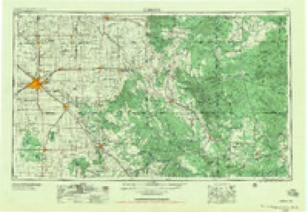
- 1954 USGS Lubbock quadrangle1:250000, 4 printings
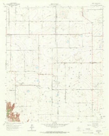
- 1965 USGS Acuff quadrangle1:24000
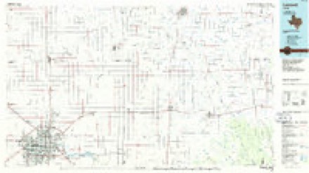
- 1986 USGS Lubbock quadrangle1:100000, 2 printings
Fires near this place
10 since 2008Regional context, not property-specific evidence. The federal wildfire occurrence database lists 10 fires within 5 miles of Acuff between 2008 and 2015, burning about 22 acres in total. None started naturally. None was recorded as arson. Distance is straight-line from the map coordinates, so a fire counted here may appear on a neighbouring settlement's page as well.
| Reported cause | Fires |
|---|---|
| Debris and open burning | 6 |
| Missing data/not specified/undetermined | 4 |
The most recent of them, most recent first, with the day each was reported and the service that recorded it.
| Date | Cause | Size | Reported by | Name on the report |
|---|---|---|---|---|
| 30 May 2010 | Debris and open burning | 2.0 acres | Texas A & M Forest Service | GRASS FIRE |
| 23 May 2009 | Debris and open burning | 1.0 acres | Texas A & M Forest Service | GRASS FIRE |
| 12 May 2011 | Missing data/not specified/undetermined | 1.0 acres | Texas A & M Forest Service | FM 400 FIRE |
| 21 April 2008 | Missing data/not specified/undetermined | 10 acres | Texas A & M Forest Service | not named |
| 8 March 2009 | Missing data/not specified/undetermined | 1.0 acres | Texas A & M Forest Service | GRASS FIRE |
| 24 March 2009 | Missing data/not specified/undetermined | 1.0 acres | Texas A & M Forest Service | GRASS FIRE |
| 5 February 2013 | Debris and open burning | under an acre | Texas A & M Forest Service | GRASS FIRE |
| 23 February 2014 | Debris and open burning | under an acre | Texas A & M Forest Service | 2014-23 |
Settlements close enough to share some of these fires:
Storms near this place
6 since 1993Regional context, not property-specific evidence. The National Weather Service names Acuff in 6 storm reports between 1993 and 2025: 4 hail, 2 tornado. No death or injury is recorded in these reports. Each account below is quoted exactly as the forecast office filed it, from the NOAA Storm Events Database, and each date opens the federal record of that event.
| When | Event | Place named | Harm | What the report says |
|---|---|---|---|---|
| April 2009 | Tornado (EF1) | Acuff | $25,000 | Another tornadic circulation developed within a broken convective complex near the Roosevelt community in eastern Lubbock County during the 21:00 CST hour on the 16th. Again, this event was well sampled at close range by the Lubbock, Texas (KLBB) WSR-88D radar, and was confirmed by Skywarn storm spotters and by the occurrence of property damage.||A weak tornado developed just southwest of the intersection of Farm to Market Roads 40 and 400 between Roosevelt and Acuff at approximately 21:12 CST. The tornadic winds were sufficient to collapse a low-end and dated 20x30 foot barn and to damage the skirting and roofing of a mobile home near that intersection. A small metal awning also was blown off of a business and a fence was blown down as the tornado moved northeastward into open country. Skywarn storm spotters observed the tornado and associated utility power flashes about three and a half miles southeast of Idalou just before it dissipated at 21:20 CST. ||Damage to the barn supports an EF-1 rating, with estimated wind speeds approaching 95 mph. Damages were estimated at $25,000. No injuries were reported.||Nickel size hail was additionally reported in the immediate vicinity of the tornado. |
| June 2025 | Hail | Acuff | - | A report was received of hail measuring 2.25 inches in diameter northeast of Ransom Canyon. Additionally, a report was received of damage to west facing windows to a structure along County Road 7120 east of Ransom Canyon. No damage was reported at the time. |
| April 2018 | Hail | Acuff | - | Hail up to the size of quarters was reported at a gasoline station along U.S. Highway 62/82 between Lorenzo and Idalou. No damage was reported. |
| April 2009 | Tornado (EF0) | Acuff | - | A second supercell thunderstorm was ongoing over eastern Lubbock County at the same time that another supercell to the southwest was producing destructive hail over the city of Lubbock. The supercell storm in eastern Lubbock County became more organized with respect to low-level rotation per Doppler radar velocity observations, and produced at least two tornadoes near U.S. Highway 82 between Idalou and Lorenzo around 16:00 CST. These tornadoes were documented by storm chasers.||The first tornado developed south of U.S. Highway 82 approximately four miles east-southeast of Idalou, and moved northeastward nearly two miles. The tornado, which appeared as a classic funnel with a dust-tube debris cloud, remained in open fields east of Ranch Road 789 and south of U.S. Highway 82 and resulted in no damage. |
| May 1993 | Hail | Acuff | - | The public reported quarter-size hail at Lake Ransom Canyon. Twenty minutes later, nickel-size hail fell at Acuff. No damage was reported from either event. |
| April 1997 | Hail | Acuff | - | no account filed |
Nearest settlements
The eight closest, with where each one stands in the county. Distances are straight-line, computed from the Geographic Names Information System coordinates.
| Map | Place | Distance | Sheets |
|---|---|---|---|
| Roosevelt | 3.0 miles | 8 | |
| Midway | 4.3 miles | 7 | |
| Ransom Canyon | 5.3 miles | 8 | |
| Canyon | 5.9 miles | 8 | |
| Idalou | 5.9 miles | 8 | |
| Buffalo Springs Lake | 6.4 miles | 8 | |
| Kitalou | 7.0 miles | 8 | |
| Posey | 9.1 miles | 8 |
Provenance
This settlement is recorded in the Geographic Names Information System as feature 1379313. The sheet list is computed by point-in-boundary test against the United States Geological Survey's historical topographic inventory. Both are works of the United States government and carry no copyright under 17 U.S.C. 105.
Wildfire. Short, Karen C. 2022. Spatial wildfire occurrence data for the United States, 1992-2020 [FPA_FOD_20221014]. 6th Edition. Fort Collins, CO: Forest Service Research Data Archive. https://doi.org/10.2737/RDS-2013-0009.6 Collected with United States Government funding and usable without additional permissions or fees.
Storms. NOAA National Centers for Environmental Information, Storm Events Database https://www.ncei.noaa.gov/stormevents/ A work of the United States government, no copyright under 17 U.S.C. 105. Narratives are quoted verbatim from the National Weather Service report and are not edited or summarised.