 Block
BlockFrom the record
18 National Register listings published here.
Sources: the National Register database, National Park Service
52 topographic sheets cover 30 settlements here, and 18 properties are on the National Register of Historic Places.
18 National Register listings published here.
Sources: the National Register database, National Park Service
Every property in this county listed on the National Register of Historic Places, with the year it was listed and the federal nomination document.
| Photograph | Property | Type | Listed | Reference |
|---|---|---|---|---|
 | Warren and Myrta Bacon House | building | 1982 | 82004512 |
 | Cactus Theater | building | 1998 | 98000447 |
 | Carlock Building | building | 2004 | 04000767 |
 | Fort Worth and Denver South Plains Railway Depot | building | 1990 | 90001120 |
| Great Plains Life Insurance Company Building | building | 2021 | 100006318 | |
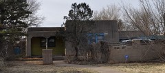 | Holden Properties Historic District | district | 1998 | 98000602 |
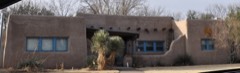 | William Curry and Olive Price Holden House | building | 1994 | 94000834 |
| In Town Inn | building | 2022 | 100008171 | |
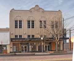 | Kress Building | building | 1992 | 92001305 |
| Lubbock County Jail | building | 2018 | 100002130 | |
 | Lubbock High School | building | 1985 | 85000924 |
 | Lubbock Post Office and Federal Building | building | 1995 | 95000101 |
| Pittsburgh Plate Glass Company | building | 2026 | 100012805 | |
 | Fred and Annie Snyder House | building | 1992 | 91002019 |
| South Overton Residential Historic District | district | 1996 | 96000276 | |
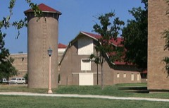 | Texas Technological College Dairy Barn | building | 1992 | 92000336 |
 | Texas Technological College Historic District | district | 1996 | 96000523 |
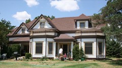 | Tubbs-Carlisle House | building | 1990 | 90001719 |
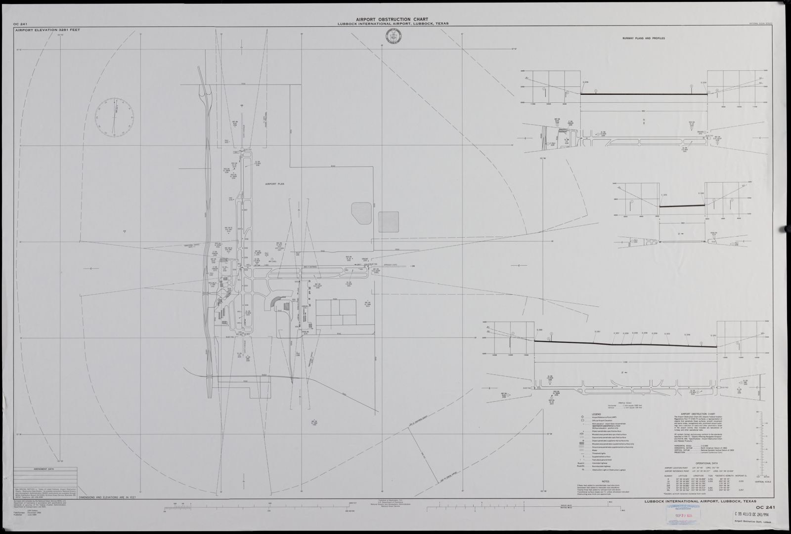
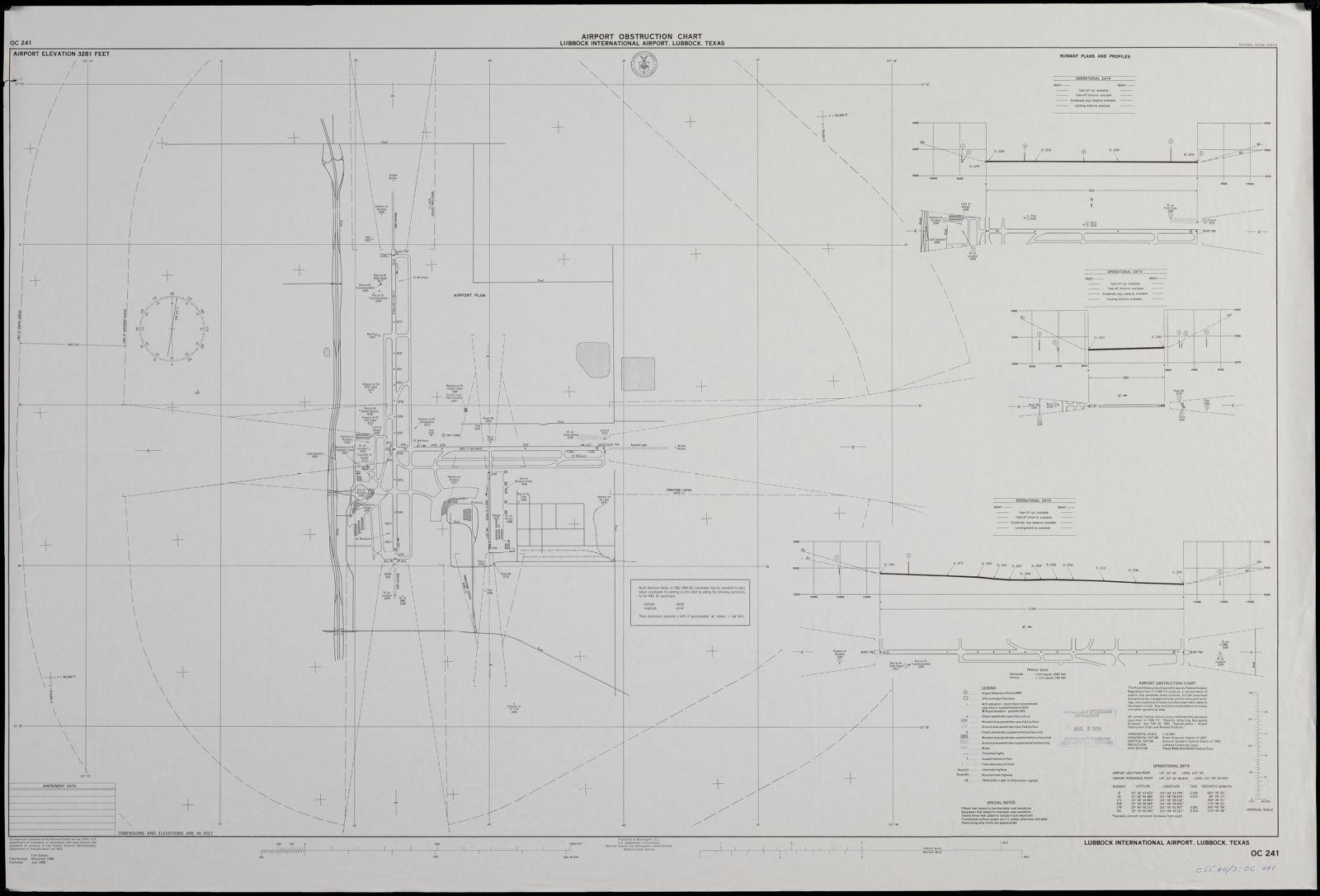
Drawn when these were printed as single large sheets: the town seen from the air, and the county divided into its farms with every owner named. Each opens the original at the Library of Congress.

Selected from the Digital Public Library of America's 7 image records catalogued for this county. Every one shown here carries a public-domain status or a licence that permits reuse on a site that carries advertising; non-commercial, share-alike and restricted images are excluded. The selection is spread across the county's towns (at most eight per town), so no single institution's bulk upload crowds out the rest. Each opens the holding library's record, and the complete set at the Digital Public Library of America is one click away.





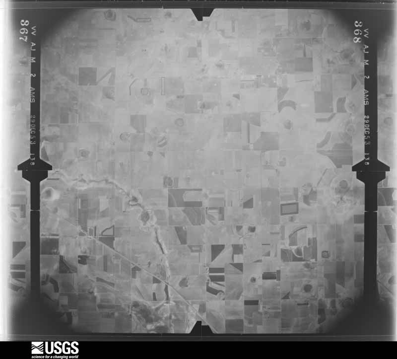
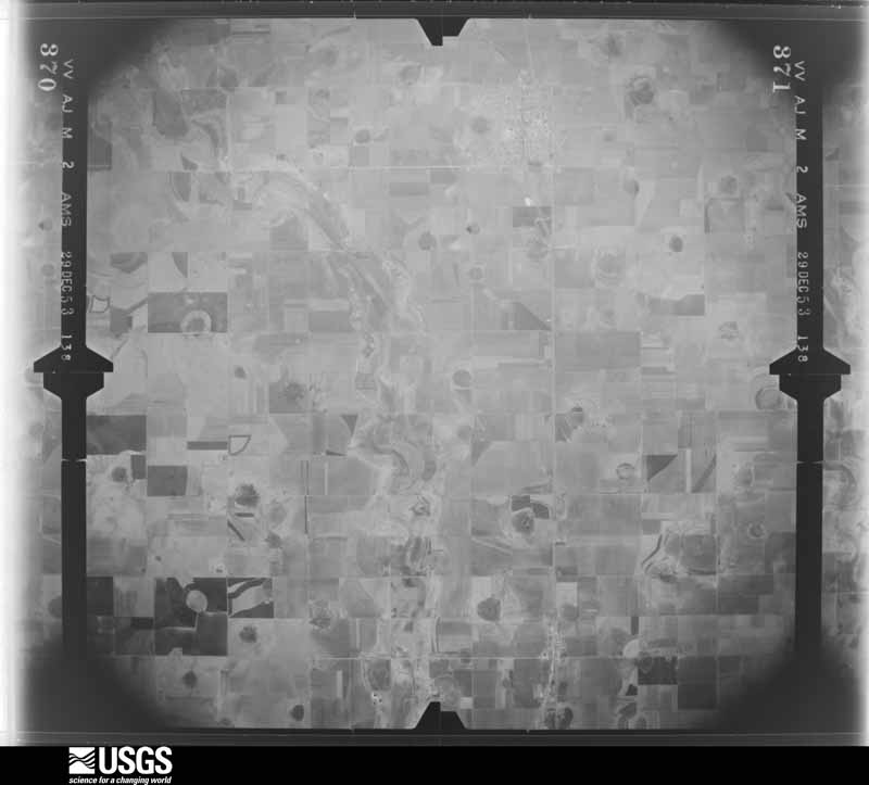
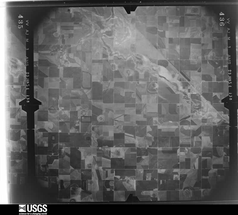
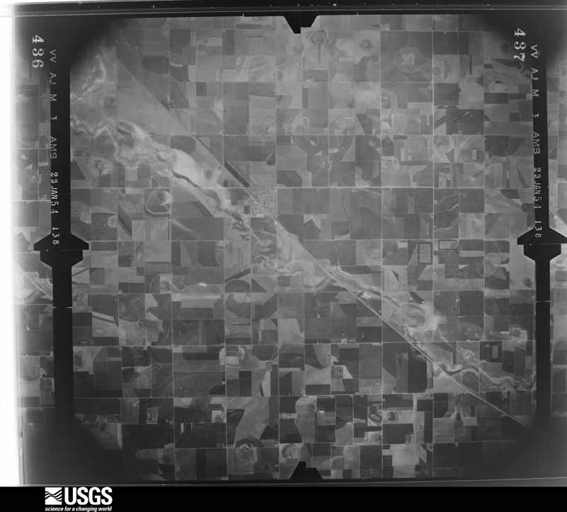
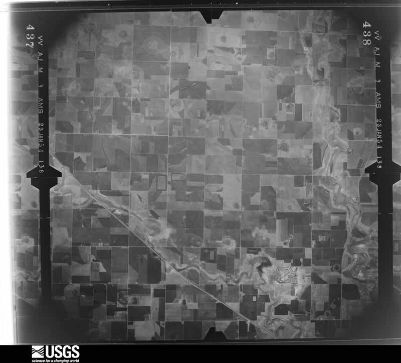
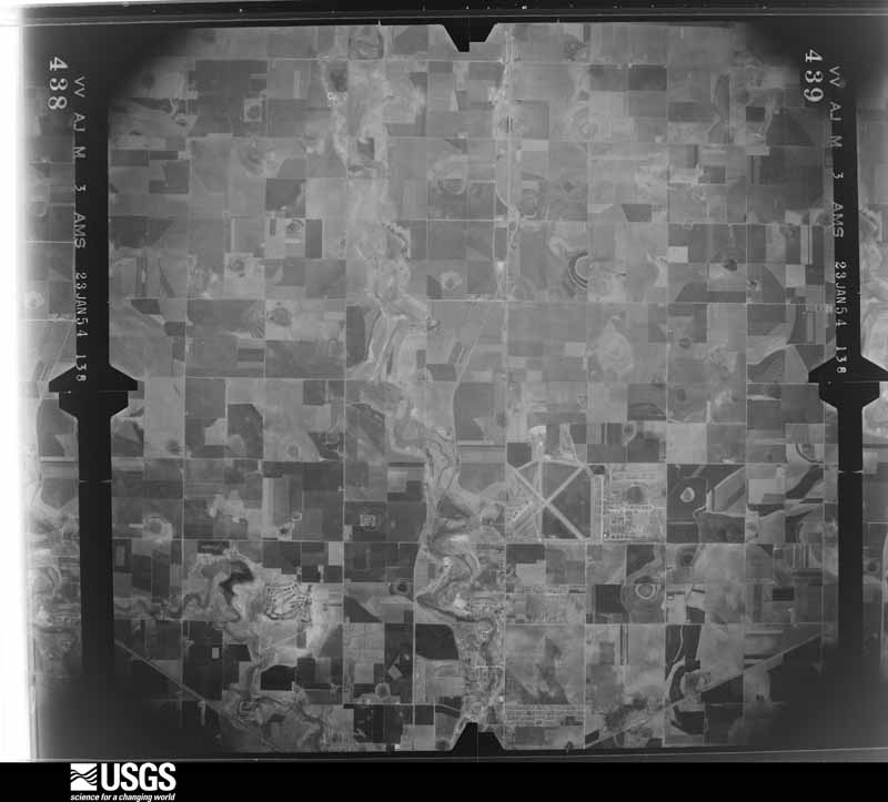
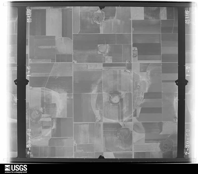
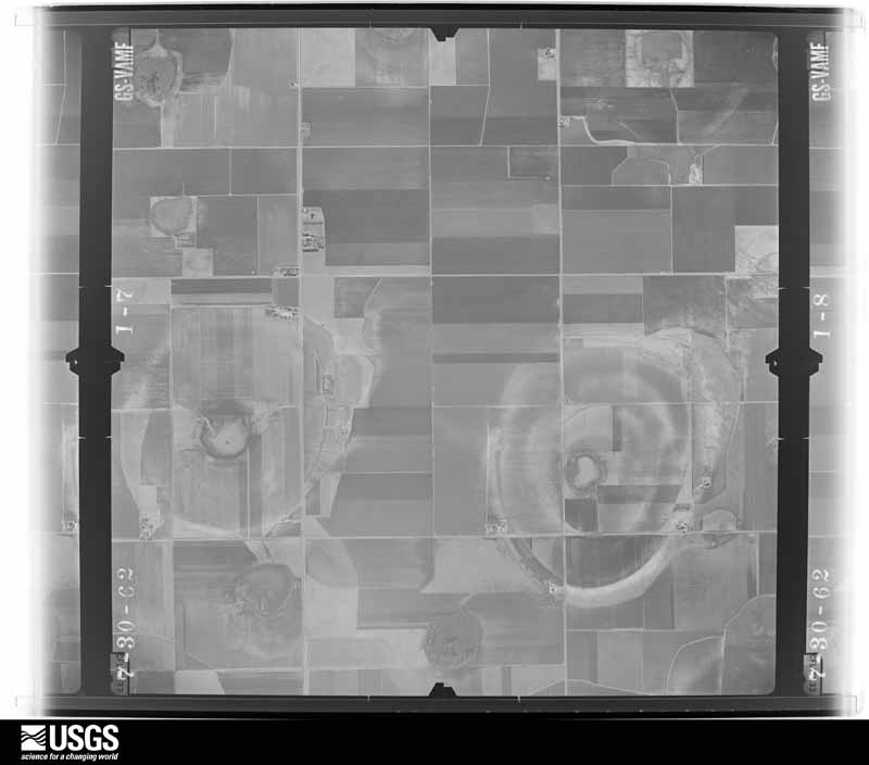
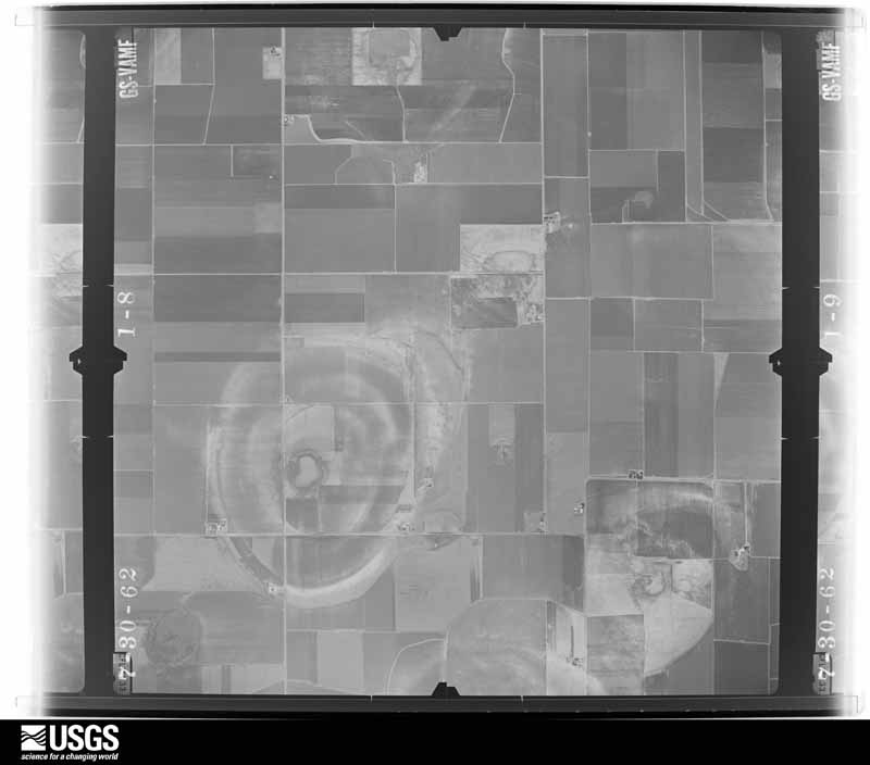
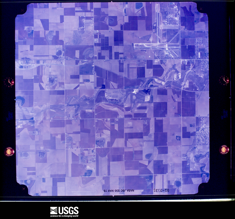
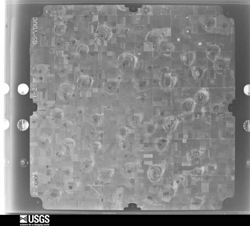
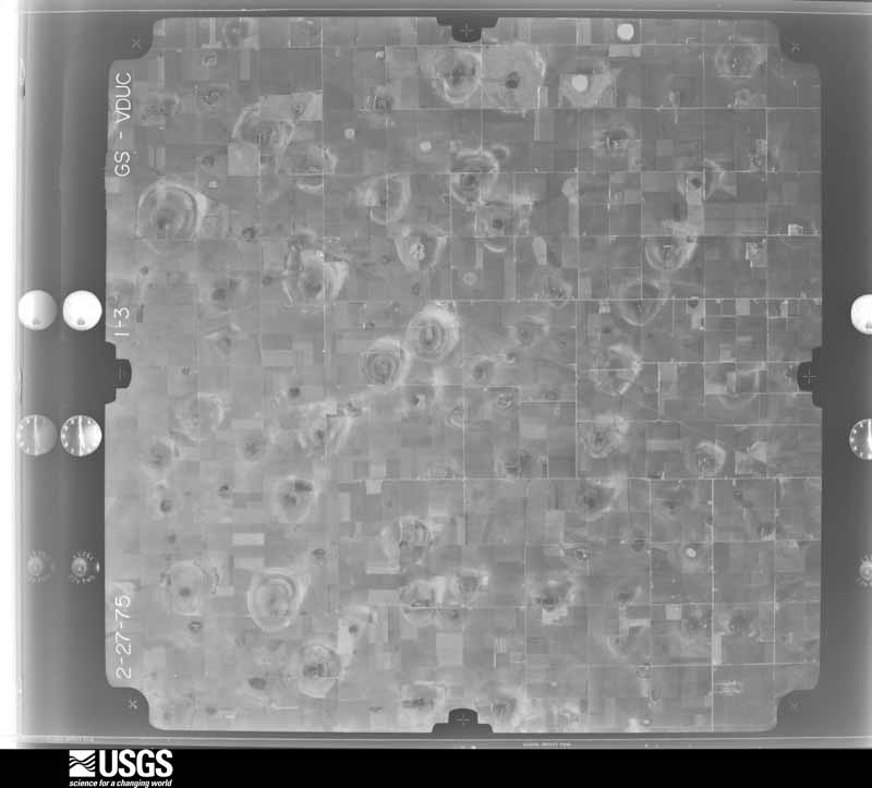
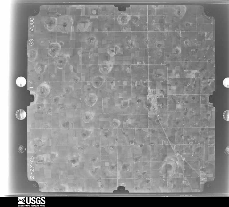
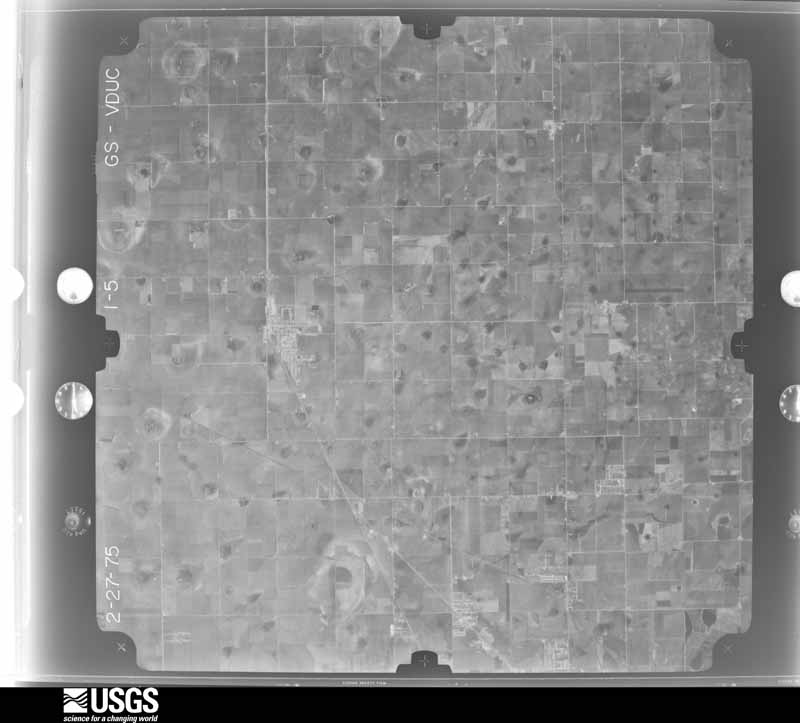
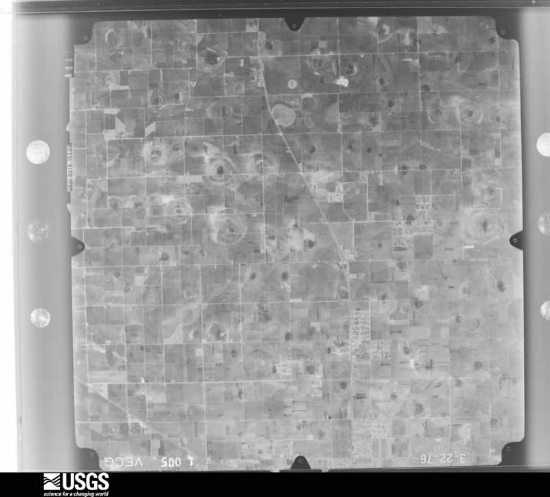
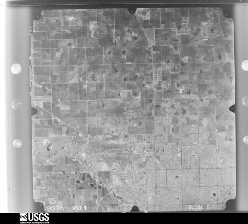
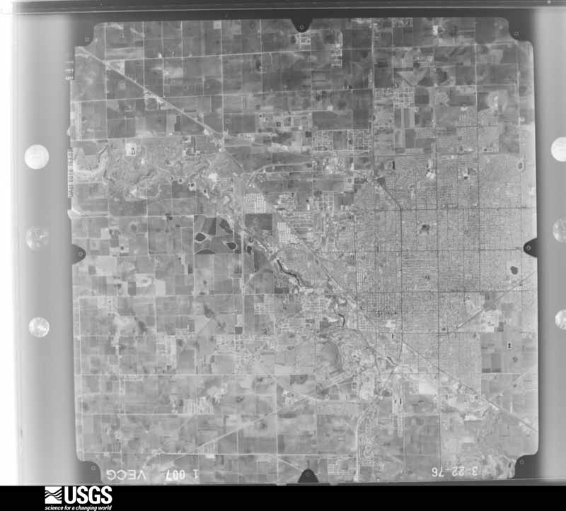
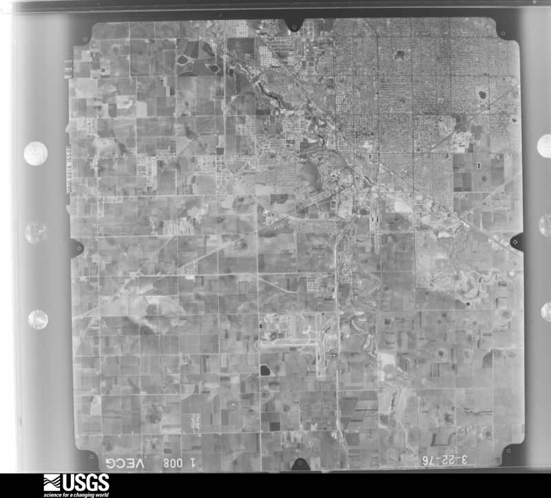
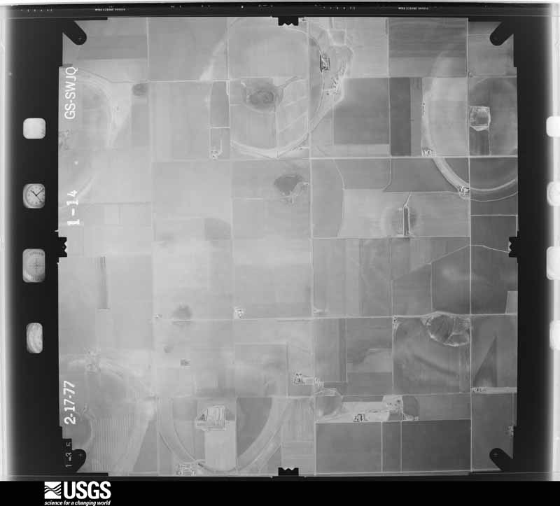
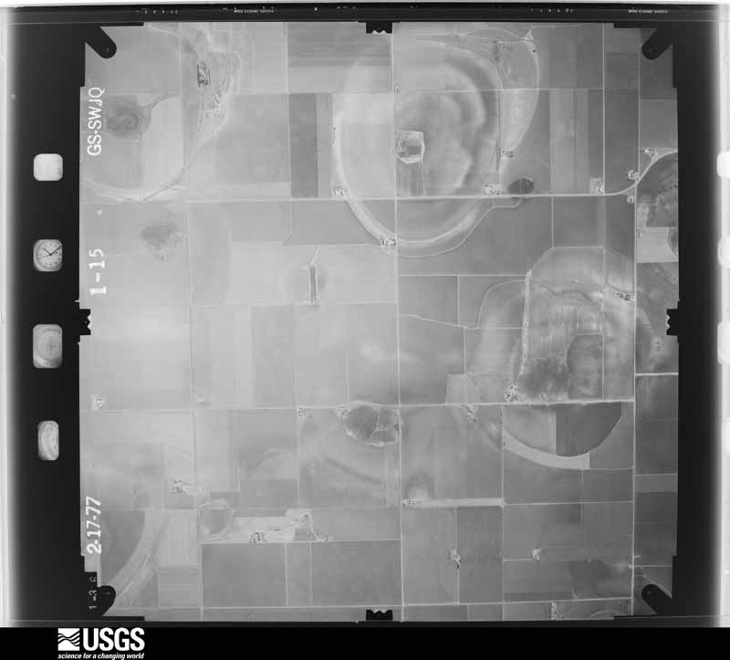
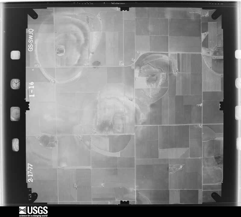
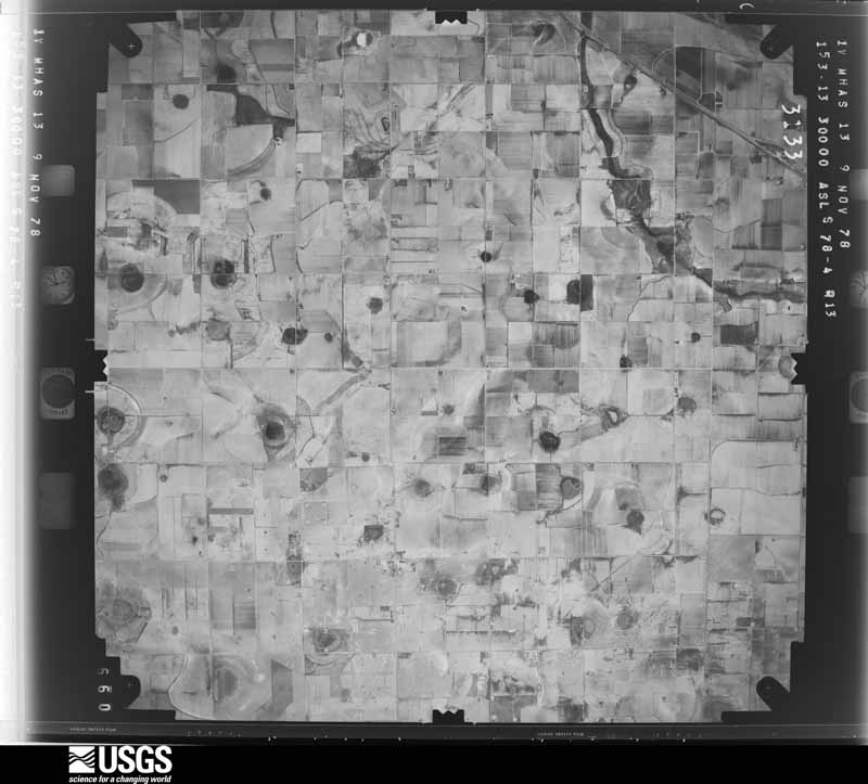
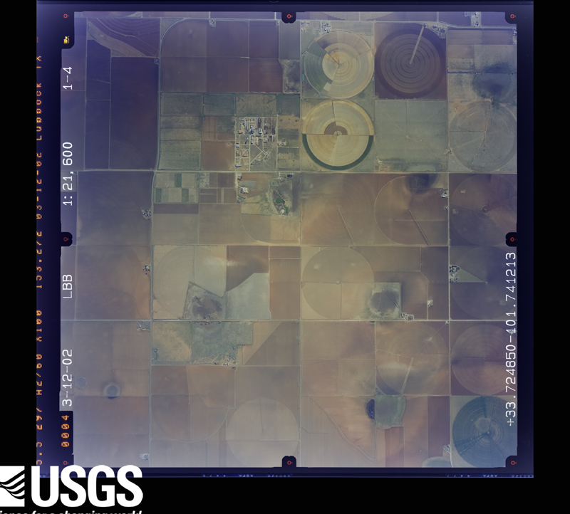
Flown by the U.S. Geological Survey between 1937 and 1989, the Aerial Photo Single Frames collection is the definitive mid-century view of the land: fields, roads and rivers as the camera saw them. The Survey holds 2,287 frames inside the rectangle that bounds this county; the 48 frames below were taken over the county itself, chosen across the decades of flights (at most four a year from that rectangle), so one flight cannot crowd out the rest. The full set is free to browse and download at EarthExplorer under the dataset Aerial Photo Single Frames.






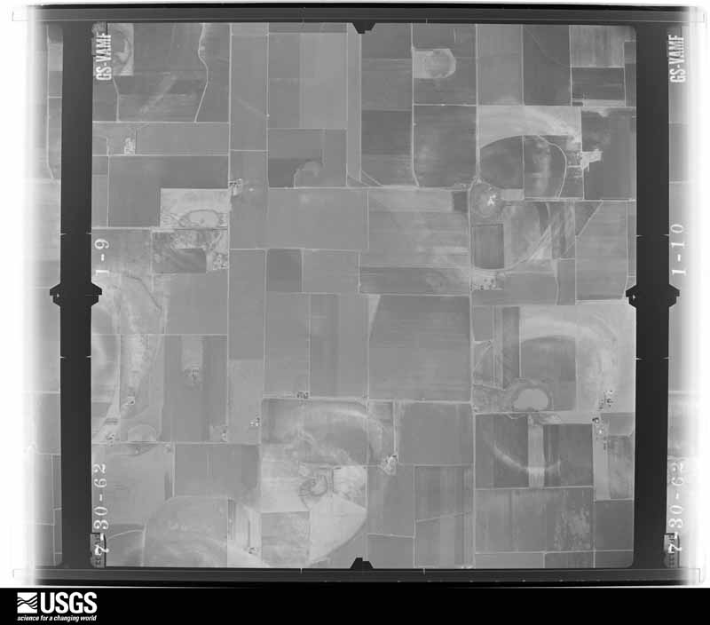
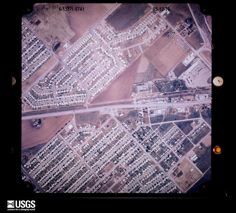
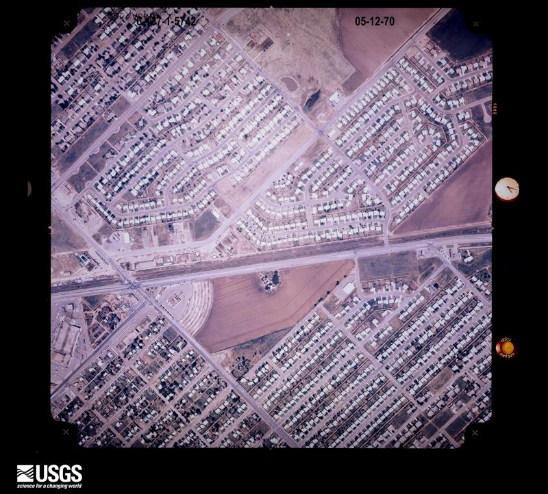
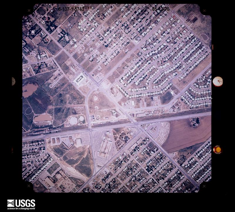
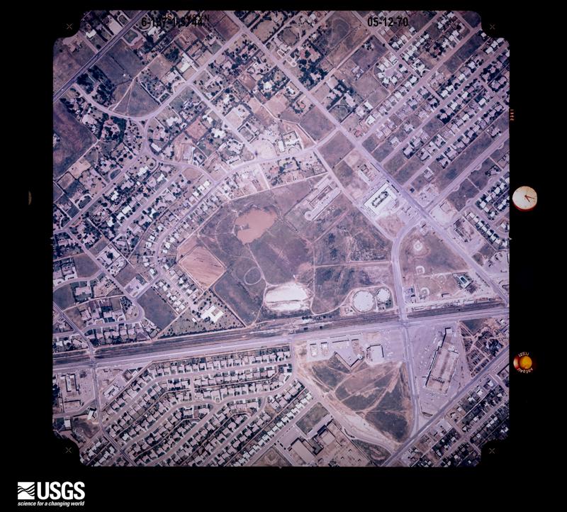


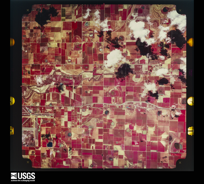
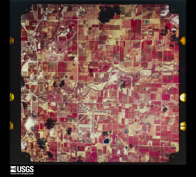
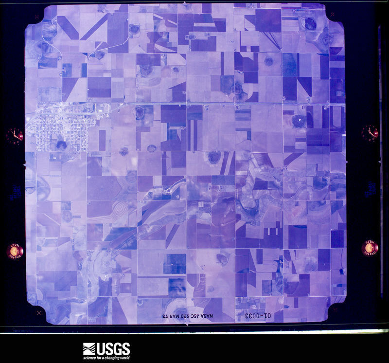


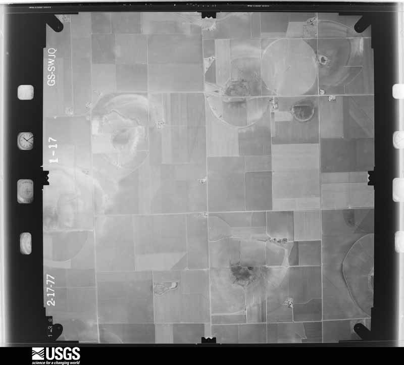
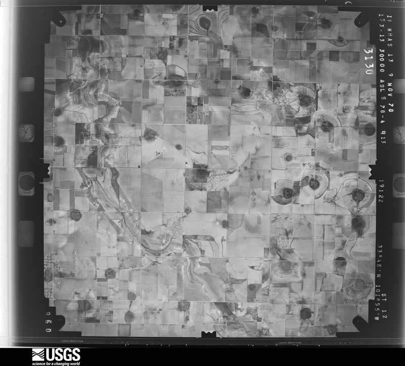
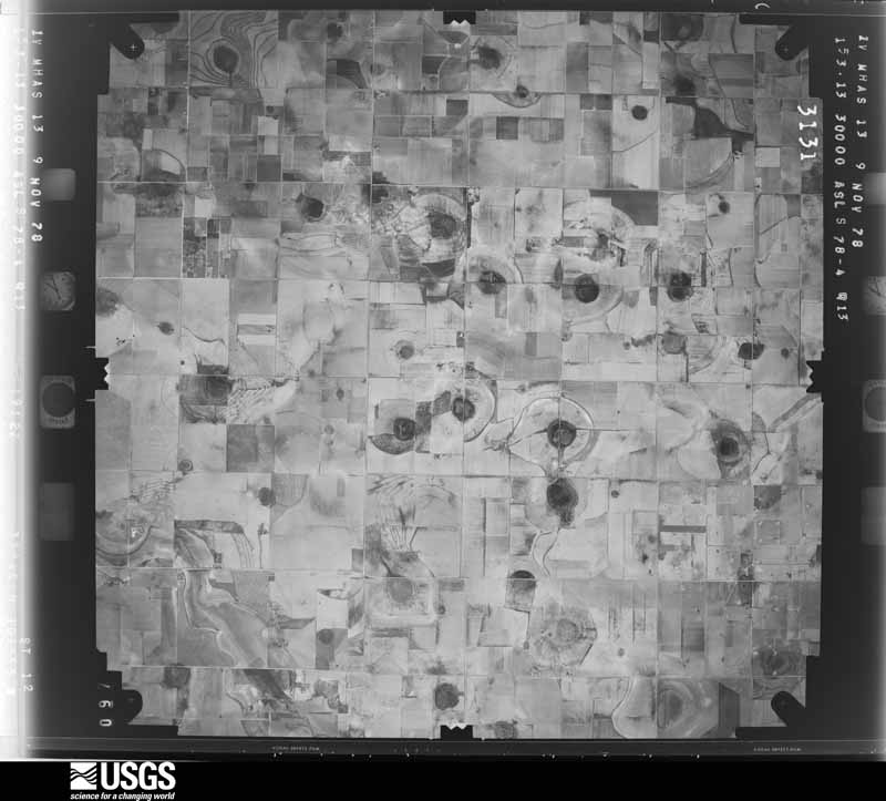
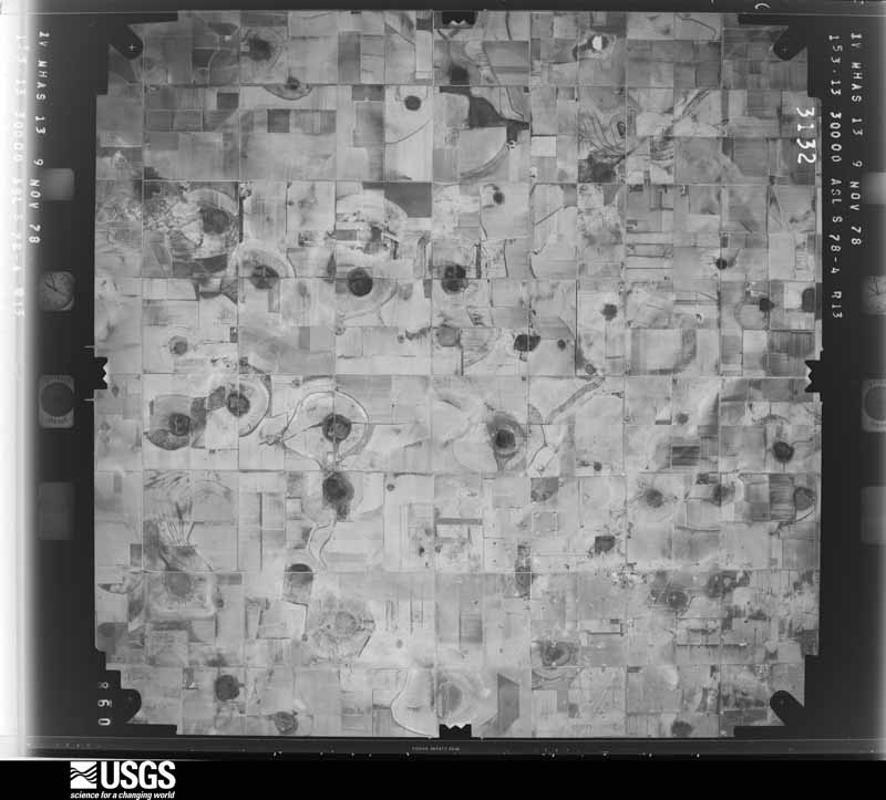



The thermometers that kept this county's weather, and the gages that measured the flow of its streams, as the federal records hold them. The extremes below are measured values from those records, not estimates.
Who lived here in 1950, one enumeration district at a time, as the Census Bureau described each district. Each row opens its official National Archives result, with Population Schedules and ED Maps available there.
Every wildfire the federal occurrence database records inside this county: 772 of them, burning about 8,285 acres. 13 started naturally and 21 were recorded as arson. Each settlement page carries the fires within five miles of it.
| Reported cause | Fires |
|---|---|
| Missing data/not specified/undetermined | 365 |
| Debris and open burning | 154 |
| Smoking | 75 |
| Equipment and vehicle use | 65 |
| Power generation/transmission/distribution | 33 |
| Railroad operations and maintenance | 26 |
| Arson/incendiarism | 21 |
| Natural | 13 |
| Misuse of fire by a minor | 11 |
| Recreation and ceremony | 6 |
| Other causes | 2 |
| Fireworks | 1 |
The five largest, by the area the report gives. None of them was recorded as arson.
| Date | Cause | Size | Reported by | Name on the report |
|---|---|---|---|---|
| 17 October 2011 | Power generation/transmission/distribution | 1,200 acres | Texas A & M Forest Service | 2011-108 |
| 19 March 2011 | Natural | 800 acres | Texas A & M Forest Service | GRASS FIRE/TREE FIRE |
| 18 March 2011 | Equipment and vehicle use | 580 acres | Texas A & M Forest Service | 2011-32 |
| 24 May 2011 | Equipment and vehicle use | 473 acres | Texas A & M Forest Service | REESE CENTER FIRE |
| 1 January 2006 | Missing data/not specified/undetermined | 450 acres | Texas A & M Forest Service | not named |
| 29 April 2009 | Missing data/not specified/undetermined | 300 acres | Texas A & M Forest Service | 41 |
| 1 January 2006 | Missing data/not specified/undetermined | 300 acres | Texas A & M Forest Service | not named |
| 1 March 2014 | Debris and open burning | 210 acres | Texas A & M Forest Service | 2014-27 |
Every settlement page carries the fires within five miles of it - see the settlement index below.
The NOAA Storm Events Database holds 1,323 reports for this county, causing 27 deaths, 520 injuries and about $1,294,039,860 in recorded property damage. Each settlement page carries the reports that name it.
| Kind of event | Reports |
|---|---|
| Hail | 666 |
| Thunderstorm Wind | 430 |
| Tornado | 98 |
| Flash Flood | 50 |
| Flood | 29 |
| Lightning | 23 |
| Heavy Rain | 18 |
| Funnel Cloud | 6 |
| Dust Devil | 2 |
| High Wind | 1 |
The most serious of them, by death, then injury, then recorded damage. The accounts are quoted exactly as the forecast office filed them.
| When | Event | Place named | Harm | What the report says |
|---|---|---|---|---|
| May 1970 | Tornado (F5) | not stated | 26 killed, 500 hurt, $250,000,000 | no account filed |
| August 2016 | Lightning | Slaton | 1 killed | no account filed |
| April 1957 | Tornado (F4) | not stated | 6 hurt, $2,500,000 | no account filed |
| April 2009 | Hail | Doud | 3 hurt, $20,000,000 | Giant two and a half inch hail stones fell over the South Haven, Sun Ridge, and Lake Ridge subdivisions of southwest Lubbock between Slide Road and Quaker Avenue around 15:40 CST. The hailstones damaged roofs and skylights on over a 1,000 homes in the mentioned subdivisions, and three persons sought medical treatment at local hospitals for minor injuries related to the hail. Hail stones also reportedly killed a number of birds. Well over 600 vehicles were damaged in these subdivisions and adjacent areas of the city. Damages in the mentioned subdivisions were estimated at $20 million, with hail damage across the city of Lubbock estimated to total $40 million. |
| May 1987 | Tornado (F2) | not stated | 3 hurt, $250,000 | no account filed |
| May 2008 | Thunderstorm Wind | Reese Vlg | 2 hurt, $250,000 | The Texas Tech University West Texas Mesonet site near Reese Center recorded a 59 mph wind gust. At 20:49 CST, an U.S. Air Force jet crashed short of the run way at Lubbock Preston Smith International Airport. Two pilots on board the plane suffered minor injuries, and were treated and released from a local hospital. |
| July 2020 | Thunderstorm Wind | Lubbock | 2 hurt | A thunderstorm formed to the southwest of Lubbock Preston Smith International Airport and moved east bringing damaging winds gusts to the north part of the city of Lubbock. The winds toppled a brick wall of an old roofless structure, downed power poles, and caused considerable property damage at Joyland Amusement Park. In addition, a few people were injured by falling tree limbs at Joyland. |
| May 2001 | Thunderstorm Wind | Slide | 1 hurt, $50,000 | Strong thunderstorm wind rolled and destroyed a couple mobile homes. A man was trapped and severely injured in one of the mobile homes. Strong wind also blew down trees and power lines. |
| April 2012 | Hail | Wolfforth | 1 hurt | A NWS employee estimated quarter size hail at the Lubbock Youth Sports Complex. Fans and participants at a girl's softball game rushed to dugout shelters after large hail fell very suddenly from a rapidly-developing thunderstorm. Aside from a few raindrops and a stray flash of lightning before the hail began, witnesses said there were no clues that a hailstorm was imminent. This element of surprise contributed to the minor injury of a female teenager participating in the softball game at the time. The youth received a black eye from a falling hailstone. No reports of damage were received. |
| September 2012 | Thunderstorm Wind | Slaton | 1 hurt | Downburst winds estimated around 70 mph overturned a tractor trailer and injured its driver while traveling southeast on U.S. Highway 84. |
| June 1967 | Tornado (F2) | not stated | 1 hurt | no account filed |
| June 2013 | Thunderstorm Wind | (Lbb)Lubbock Intl Ar | $400,000,000 | An official NWS storm damage survey, along with trained spotters, police department officials, the Automated Surface Observing System, and equipment at the NWS, confirmed severe wind gusts ahead of a squall line moving through Lubbock. Gusts up to 72 mph were recorded as the line caused considerable damage and downed numerous trees, snapped almost 100 power poles, blew out several windows, and inflicted substantial damage to roofs, windows, vehicles, and structures. At the Motor Inns of America hotel in north Lubbock, downburst winds completely stripped a large section of the roof from the building forcing residents to evacuate. Fortunately, there were no serious injuries reported. Those buildings that suffered broken windows or damaged roofs also received various degrees of water damage to walls, carpets, and personal belongings. Nearly 30,000 customers lost power in the city of Lubbock. |
| May 2015 | Hail | Woodrow | $200,000,000 | A supercell storm erupted near Ropesville in extreme instability and went on to produce a significant hail swath across south-central and southeast Lubbock County where giant hail to softball size occurred in Slaton. Damage to homes, businesses, vehicles, and wheat crops was common from two miles east of Woodrow to Ransom Canyon. In addition to the hail, strong rear flank downdraft winds picked up gravel in Slaton and blew out dozens of windows in cars and buildings. Combined damage estimates would likely reach $300M. |
| May 2020 | Hail | Woodrow | $100,000,000 | A thunderstorm developed along an outflow boundary in Lynn County and rapidly grew into a severe supercell thunderstorm as it moved northward toward the city of Lubbock. This storm quickly began to rotate anticyclonically as it moved into the southern portion of Lubbock County. As the storm entered the southern portion of the city of Lubbock numerous reports were initially received of hail up to baseball size. The largest hail stone reported was three inches in diameter. The storm continued to move northward through the central part of the city producing hail up to tennis ball size. The swath of giant hail ended around Lubbock Preston Smith International Airport at 1819 CST. While this initial storm was affecting the central portion of the city, a second severe thunderstorm developed over Wolfforth and moved to the northeast. This storm produced hail up to two inches in diameter from just east of Wolfforth to Texas Tech University. In the aftermath, numerous vehicles and roofs on homes were damaged, primarily from the initial thunderstorm that moved through the central part of Lubbock. Total losses were estimated at over $100 million. |
| June 2023 | Hail | Wolfforth | $50,000,000 | A large swath of giant hail occurred over an extensive portion of the city of Lubbock causing widespread damage to roofs and vehicles. The largest hailstone observed was 4.50 inches in diameter. |
| May 2018 | Hail | Slide | $30,000,000 | A pair of nearly stationary supercell storms inflicted heavy tolls on thousands of residents across South Lubbock. The largest hail from tennis ball to just over baseball size occurred along a swath from near Quaker Avenue and 130th Street to Slide Avenue and 122nd Street. On both sides of this line and extending outwards for a few miles, hail from quarter size to golf ball size was common. With very little storm movement, large hail fell for up to 15 minutes at some locations causing even greater damage. In Lubbock's Vintage Township alone, it was estimated that every home would require a new roof. Preliminary insurance data indicated approximately 4000 auto claims were filed, with an estimated 1200 homes potentially in need of new roofs. Many area auto body shops were required to work overtime to meet the onslaught of customers. Fortunately, very little wind accompanied the hail which prevented even greater damage to the siding and windows of most homes and buildings. |
| May 2001 | Hail | Lubbock | $25,000,000 | A storm chaser reported quarter size hail at 8th Street and Milwaukee Avenue. Wind-driven hail caused extensive property damage. |
| May 2001 | Hail | Lubbock | $25,000,000 | An off-duty NWS employee reported quarter size hail on the southwest side of town. Wind-driven hail caused extensive property damage. |
| April 2012 | Hail | Doud | $20,000,000 | A destructive high-precipitation supercell exited Hockley County and continued moving southeast across southwest Lubbock County. A significant hailswath accompanied this supercell with hailstones as large as baseballs at times. Reports of baseball size hail were received from the following locations: Slide Rd and 150th St, 120th St and Milwaukee Ave, and also along FM 41 just west and east of Highway 87. Damage to vehicles and homes in this hailswath was severe with many windshields, windows and skylights completely destroyed. Several hundred homes will likely require new roofs. |
| May 2001 | Hail | Lubbock | $20,000,000 | Storm spotters reported hail up to quarter size covering the ground at 19th Street and Loop 289 on the west side of town. Wind-driven hail caused extensive property damage. Crops were devastated throughout the western and southern portion of the county. |
| April 1997 | Hail | Lubbock | $18,000,000 | no account filed |
| April 2009 | Hail | Doud | $15,000,000 | Multiple reports were received of two inch diameter hail in the Meadow South subdivision and adjacent areas of southwest Lubbock between Frankford Avenue and Slide Road shortly before 15:40 CST. Damage to roofs, skylights, and vehicles was widespread in this section of the city. More than 1,200 homes and approximately 500 vehicles were damaged in the mentioned subdivisions, with an estimated $15 million in economic loss. ||Hail damage across the city of Lubbock is estimated to total $40 million and resulted in three injuries. |
| May 2001 | Hail | Lubbock | $15,000,000 | An off-duty NWS meteorologist reported hail up to quarter size covering the ground on the south side of town near 82nd Street and University Avenue. Wind-driven hail caused extensive property damage. |
| April 1997 | Hail | Lubbock | $12,000,000 | no account filed |
| May 2001 | Hail | Lubbock | $10,000,000 | Wind-driven hail caused extensive property damage. |
| May 2015 | Flash Flood | Shallowater Arpt | $10,000,000 | no account filed |
| June 2017 | Hail | Shallowater Arpt | $6,000,000 | This is the continuation path of the devastating supercell that affected Lamb and far northeast Hockley Counties. Wind-driven hail up to the size of tennis balls devastated area crops and caused moderate to heavy damage to about 100 rural homes in far northwest Lubbock County, generally northwest to just northeast of Shallowater. The heaviest toll was inflicted to roughly 40,000 acres of cotton, sorghum and corn which became a total loss after heavy rains and flooding eroded the young plants. Fortunately, the supercell storm dissipated northwest of Lubbock in response to a line of storms developing immediately to its southeast. |
| June 2016 | Flash Flood | Carlisle | $5,000,000 | Law enforcement reported significant flooding of streets and roads in west and southwest Lubbock - many of which had swiftly flowing water of a foot or more over them. Several playa lakes overflowed their banks and inundated homes, vehicles, and businesses. No injuries were reported, however some motorists required rescuing from water depths as great as five feet deep. Some streets and roads were closed for 18 hours due to standing water. |
| April 2012 | Thunderstorm Wind | Wolfforth | $5,000,000 | Destructive downburst winds occurred for a period of 20 minutes immediately south and west of the track of a mesocyclone moving southeast across far southwest Lubbock County. A West Texas mesonet site located 6SSW Wolfforth sampled this region of the supercell and measured the following winds over a span of 20 consecutive minutes:||750 pm CST: West at 51 mph gusting to 80 mph /|755 pm CST: West at 61 mph gusting to 85 mph /|800 pm CST: Northwest at 71 mph gusting to 95 mph /|805 pm CST: Northwest at 55 mph gusting to 70 mph /|810 pm CST: North at 50 mph gusting to 76 mph /||A NWS storm survey revealed that a few trees were uprooted about 5S Wolfforth and that nearby roofs from a house and mobile home were removed. |
| April 2009 | Hail | Slide | $5,000,000 | A supercell thunderstorm developed over extreme southwestern Lubbock County and tracked east-northeastward. This storm produced a destructive hail swath over the southern portions of Lubbock during the 15:00 and 16:00 CST hours of the 16th. ||Large hail up the size of nickels was initially reported at 15:17 CST near the intersection of Slide Road and Woodrow Road south-southwest of the city. The storm intensified as it tracked over south Lubbock and hail up to the size of golfballs (occasionally larger) covered the ground along a large swath spanning from the southwestern subdivisions of the city northeastward to Ransom Canyon and Roosevelt.||Hail up to the size of golfballs reportedly damaged roofs on up to 800 homes and several automobiles along the storm's track. Hail damages city-wide, however, are estimated near $40 million. Most of the damages occurred across several affluent southwest Lubbock subdivisions where giant hail stones larger than two inches in diameter were observed, and three injuries occurred. |
| May 2001 | Thunderstorm Wind | Wolfforth | $5,000,000 | Strong thunderstorm wind destroyed several billboards, damaged the roofs of a number of homes, and blew down power lines, power poles, and trees. An NWS storm survey indicated that the wind gusts associated with this damage were likely in the 70 to 90 mph range. Wind-driven hail caused extensive property and crop damage. |
| July 2010 | Flash Flood | Wolfforth | $4,500,000 | Excessively heavy rainfall, with rates exceeding 4.00 inches per hour, began to fall over the Lubbock metro area during the late evening hours of the 3rd. The onset of flash flooding initially occurred within the city as playa lakes filled to capacity and water rose rapidly in surrounding city streets and adjacent neighborhoods. ||Initial reports indicated that high water entered homes near 33rd Street and Toledo around 22:33 CST. Meanwhile, water nearly two feet deep was reportedly running through many city streets near swollen playas. Numerous reports were received of flood waters inundating homes and stalling vehicles through 00:25 CST on the 4th. Some of the hardest impacted areas included portions of Quaker Avenue and Avenue Q between 48th and 22nd Streets, along with 92nd Street west of Slide. Water reportedly rose quickly to waist-high depths in many of these areas, and covered expansive areas up to a mile in length. At 00:14 CST, a van was washed off of the South Loop 289 service road near Quaker Avenue and the occupants of the vehicle were rescued. The Lubbock County Emergency Manager and local media sources reported that a total of 92 high water rescues of stranded motorists were conducted.||By 00:18 CST, flash flooding of urban streets had resulted in high water rescues in Ransom Canyon. More significant flash flooding, however, impacted the Buffalo Springs Lake and Ransom Canyon areas of Lubbock County during the hours around sunrise. A flood wave, which originated from rainfall, run-off, and playa spillage in Lubbock, propagated down the North Fork of the Double Mountain Fork of the Brazos River. The flood wave caused Buffalo Springs Lake to rapidly swell more than eight inches in a fifteen minute period around 05:40 CST, and then spill over its dam into Ransom Canyon. The lake, which is closely regulated at a near-constant level, rose more than two and a half feet during the flash flood. Local authorities had sufficient warning in advance of the flash flood to warn some 250 holiday weekend campers to evacuate from the lake's shores. The last campers to be contacted were notified just as their air mattresses began to float in rising waters. In addition, up to eight local home owners were given enough warning to relocate furniture and property to higher ground before their homes were eventually damaged by high water. ||In all, Lubbock County officials estimated that more than 300 homes and businesses sustained damages in the Fourth of July flash floods and floods. It is likely that more than 100 vehicles became stranded or otherwise damaged in the flood waters across the county. Although no serious injuries were reported, total economic losses were estimated at nearly $8.6 million by the Texas Department of Emergency Management and the Federal Emergency Management Agency. For the purposes of this report, these losses were differentiated by heavy rainfall, flash flood, and flood at $250,000, $4.5 million, and $3.8 million respectively. |
| September 2008 | Flood | Wolfforth | $4,500,000 | no account filed |
| March 1979 | Tornado (F1) | not stated | $2,500,000 | no account filed |
| April 1957 | Tornado (F2) | not stated | $2,500,000 | no account filed |
| April 1957 | Tornado (F2) | not stated | $2,500,000 | no account filed |
| April 1957 | Tornado (F2) | not stated | $2,500,000 | no account filed |
| August 2014 | Hail | Doud | $2,000,000 | A narrow swath of hail up to 1.25 inches in diameter traveled east from the South Plains Mall to near the U.S. Highway 84 exit on South Loop 289. This hailstorm was observed firsthand by NWS employees who stated the hail was very dense and fell for about 10 minutes without much wind. Countless vehicles in south Lubbock received numerous dents from this barrage of hail and some buildings (such as the Pyramid Plaza) suffered broken skylights. Insurance adjusters estimated several hundred homes with shingle roofs would need replacement due to damaged shingles. Combined property damage estimates could exceed $2 million. |
| June 2014 | Thunderstorm Wind | Wolfforth | $2,000,000 | A downburst on the periphery of a mesocyclone produced estimated wind gusts as high as 75 mph from about three miles west of Wolfforth to four miles southeast of Wolfforth. Several power outages were noted across this swath as at least 34 power poles collapsed. Some areas remained without power for two days until utility crews could replace poles that were previously inaccessible by swollen playa lakes. Wind damage was most prevalent in a subdivision south of Wolfforth where many roofs and fences would require repair or complete replacement. Some north-facing windows were completely shattered by these high winds along with large hail reported to be as big as tennis balls. Various rural residences suffered similar damages. Many tree limbs were downed in addition to some trees being completely uprooted. |
| June 1999 | Flash Flood | Countywide | $2,000,000 | Several inches of rain across mainly the south part of Lubbock caused some of the worst flooding in recent memory. Over $500,000 in damages occurred to flooded cars at one car dealership alone, while dozens of other vehicles were flooded and stranded. Most of the city's playa lakes were flooded, as were dozens of homes near the lakes and numerous city streets. Also, FM1585 and Highway 82 were flooded. |
| May 2019 | Hail | Wolfforth | $1,500,000 | This was the first of at least two hail swaths that impacted many areas of south and southwest Lubbock. Fortunately, the hail fell without any strong winds, but minor hail damage was likely inflicted to thousands of vehicles across the area. |
| June 2013 | Thunderstorm Wind | Posey | $1,000,000 | An official NWS storm damage survey confirmed significant wind driven damage from near Buffalo Springs Lake and Ransom Canyon down into Slaton. Several trees and power lines and poles were downed, along with rail cars being piled on top of one another in Slaton. The Texas Tech University West Texas mesonet site northeast of Slaton measured an 82 mph gust as the line of storms passed through, while the NWS storm survey estimated wind gusts of near 90 mph associated with some of the damage. |
| July 2010 | Flood | Doud | $1,000,000 | Following the excessive rains and flash floods which occurred late on the 3rd and early on the 4th, residual flooding persisted in low lying areas of southern Lubbock County through much of the 6th. The most prolific flooding occurred near playa lakes. ||A number of Lubbock roadways remained closed due to lingering flooding, including: 73rd and Wayne, 74th and Memphis Avenue, Elgin and Flint Avenues south of Loop 289, Canyon Avenue and 70th Street near Trinity Church, North Quaker and Ursuline Streets, Erskine Street and Milwaukee Avenue, East 19th and Guava Avenue, the Broadway Street entrance to Mackenzie Park, Avenue W at 61st and 63rd Streets and University Avenue, 114th Street between Quaker Avenue and Indiana Avenue, and Quaker Avenue between 24th and 27th Streets. Flood waters slowly receeded in and around homes and businesses in these locations through the 6th.||In addition, prolonged standing flood waters caused extensive damages to cotton crops across the southern half of Lubbock County. Local agricultural officials declared that these damages totalled $2.8 million. ||In all, Lubbock County officials estimated that more than 300 homes and businesses sustained damages in the Fourth of July flash floods and floods. It is likely that more than 100 vehicles became stranded or otherwise damaged in the flood waters across the county. Although no serious injuries were reported, total economic losses were estimated at nearly $8.6 million by the Texas Department of Emergency Management and the Federal Emergency Management Agency. For the purposes of this report, these losses were differentiated by heavy rainfall, flash flood, and flood at $250,000, $4.5 million, and $3.8 million respectively. |
| May 1996 | Hail | Lubbock | $1,000,000 | no account filed |
| May 1997 | Hail | Slaton | $585,000 | no account filed |
| August 2011 | Flash Flood | Lubbock | $500,000 | There was flash flooding over portions of the city of Lubbock due to rainfall between one and four inches over a period of about one hour. Several high water rescues were performed and many motorists became stuck in water over the roadways. Several roads were also closed due to high water. A parking lot of a restaurant flooded out several vehicles. |
| March 2010 | Lightning | Lubbock Airpark | $500,000 | Lightning sparked a house fire in the Vintage Township subdivision of south Lubbock shortly before 08:00 CST. Local news reports indicate that the home was a total loss. No injuries were reported. |
| March 1993 | Thunderstorm Wind | Lubbock | $500,000 | As the Terry County Supercell moved across Lubbock County, it left a swath of severe weather. Golfball-size hail was reported at Reese Air Force Base and near the Carlisle community. As the storm moved across western and northern sections of Lubbock, a series of downbursts and two weak tornadoes occurred. The downbursts damaged several light and telephone poles, the roof of an elementary school suffered minor damage, and approximately 100 vehicles had window damage. The first tornado touched down in the west-central part of Lubbock. Some buildings at Lubbock Christian University suffered damage, and windows were blown out at a Junior High School north of LCU. The second tornado struck north-central Lubbock, near the Lubbock State School. Damage in this area was confined mainly to windows. As the storm passed Lubbock International Airport, the NWS Office's wind equipment measured a wind gust to 77 mph. Total damage from the storm is estimated at $400,000. |
| April 1999 | Lightning | Lubbock | $470,000 | Lightning struck a house in the Lakeridge subdivision and started a fire that resulted in extensive damage. |
| April 1997 | Thunderstorm Wind | Lubbock Intl Arpt | $400,000 | no account filed |
| August 2012 | Thunderstorm Wind | Doud | $350,000 | A downburst with winds estimated as high as 70 mph at times traveled northeast from near Frankford Avenue and Spur 327 in southwest Lubbock to the Lubbock International Airport and to just north of Idalou. Peak winds on the periphery of this downburst were officially measured at 63 mph at 2200 CST at a Texas Tech University West Texas Mesonet located 3WNW of the University, 59 mph at 2203 CST at the Lubbock ASOS, and 65 mph at 2223 CST at a KAMC weather station in Idalou. The downburst caused moderate damage to a greenhouse located at Lowe's Home Improvement store. At a nearby Home Depot store, the canopy to a greenhouse was partially damaged and several steel fence posts embedded in concrete were bent. At an apartment complex located near 50th Street and Slide Road, the roof of one unit was blown off. Damage to homes was generally light and consisted of some downed fences, broken rain gutters and torn roofing shingles. Many trees lost limbs of various sizes and in a few cases entire trees were toppled. Power outages were confined mostly to small grids in and around the path of the downburst. Total monetary damage from this downburst is estimated around $350,000; much of which was incurred at the home improvement stores. |
| June 2009 | Thunderstorm Wind | Wolfforth | $325,000 | Damaging winds raced out ahead of a complex of severe thunderstorms and overspread the Lubbock vicinity during the 18:00 CST hour of the 14th. At times, the winds were accompanied by large hail over the southwestern portions of the city. ||Winds estimated near 60 mph reportedly downed fences in a residential area northeast of Wolfforth shortly after 18:20 CST. By 18:35 CST, the Automated Surface Observing System at Lubbock's Preston Smith International Airport recorded a peak gust of 66 mph. Across the city, at least twenty-six utility lines were downed by the winds and tree damage was reportedly widespread. One tree was blown onto a home and caused minor structural damage. ||The winds continued to spread northeastward and caused significant damage in the Idalou and Acuff areas around 18:35 CST. Winds, accompanied by large hail, caused extensive damage to at least a dozen homes. Roofs were partially blown off of three homes, and the wind-blown hail shattered numerous windows and shredded siding and skirting on several mobile homes and well-built structures alike. At least two travel trailers and two center pivot irrigation systems were destroyed. Despite the damages, no injuries were reported. |
| May 2016 | Hail | Wolfforth | $300,000 | A slow moving storm produced a 12-mile stretch of severe hail through Lubbock ranging in size from quarters to half dollars. Many modern vehicles with thin aluminum hoods and lightweight panels that were caught outdoors received light to moderate dents from this otherwise marginally severe hail. The following day, dent repair shops throughout Lubbock saw streams of customers with recent hail damage. |
| June 2014 | Thunderstorm Wind | Wolfforth | $300,000 | A Texas Tech University West Texas Mesonet station located six miles south-southwest of Wolfforth recorded a period of intense rear flank downdraft winds on the periphery of a mesocyclone. A peak gust of 96 mph occurred at 2230 CST followed by 72 mph at 2235 CST, 67 mph at 2240 CST, and 68 mph at 2245 CST. NWS employees observed damage to trees and power poles particularly along County Road 41 near the mesonet station. Some rural homes throughout far southwest Lubbock County suffered varying degrees of damage, mostly to roofs and fences. |
| June 2009 | Hail | Wolfforth | $300,000 | Numerous reports of large hail, including from off-duty National Weather Service employees, were received from areas of southwest Lubbock between 18:30 CST and 18:43 CST. Penny to quarter size hail was initially reported southwest of the city at 18:30 CST. By 18:43 CST, the broadcast media reported golfball size hail near Woodrow. No damage was reported.||New convective development on the north side of thunderstorm cluster produced wind-driven quarter size hail that caused extensive damage to a number of structures in the Idalou vicinity between 18:30 CST and 18:35 CST. The winds and hail combined to result in heavy damages to at least a dozen structures. Numerous windows were shattered and several trailer homes sustained extreme siding and skirting damage. No injuries were reported. |
| May 1999 | Hail | Lubbock | $300,000 | A hailstorm that caused significant damage in Levelland continued moving east into western Lubbock County, then turned southeast. It moved from the former Reese Air Force Base through Wolfforth and the extreme southwest tip of the City of Lubbock. Many roofs and vehicles were damaged by golfball to baseball-size hail, and there was one report of grapefruit-size hail (in Wolfforth). In Lubbock, much of the damage was concentrated south and west of the intersection of 82nd Street and Slide Road. |
| May 1996 | Hail | Lubbock | $300,000 | no account filed |
| May 2006 | Thunderstorm Wind | Idalou | $275,000 | A National Weather Service damage survey and post-event analysis indicated that damaging thunderstorm microbursts resulted in a second round of severe winds in the Idalou vicinity just before 17:30 CST. Winds estimated to exceed 75 MPH destroyed a central pivot unit used for agricultural irrigation. A large barn also sustained extensive roof damage, and at least 10 utility poles were blown down. |
| May 2019 | Thunderstorm Wind | Slide | $250,000 | A long swath of severe thunderstorm winds caused widespread damage in Lubbock County near Slide, through the city of Lubbock, into Idalou. The peak wind gust recorded was 63 mph by the Automated Surface Observing System (ASOS) at Lubbock Preston Smith International Airport. The NWS office on the south side of the city of Lubbock recorded a wind gust to 60 mph. Numerous trees and utility poles were reported to have been blown over or snapped. Additionally, a home under construction was destroyed by the destructive winds. A semi-trailer was blown over onto a car near the intersection of Farm to Market roads 41 and 1730 in southern Lubbock County. |
| September 2014 | Flood | Abernathy | $250,000 | A swath of intense rainfall moved south directly over Interstate 27 from Abernathy, through downtown Lubbock, and south to Woodrow. Although total rainfall was around two inches in most locations, the majority of this fell in less than one hour resulting in prolific flooding near downtown Lubbock. A stretch of the Marsha Sharp Freeway near University Avenue was inundated with up to four feet of standing water resulting in multiple stranded vehicles. Many other vehicles were disabled by floodwaters along the northwest Loop 289 near Highway 84. Several vehicle accidents were also reported due to near zero visibility and hydroplaning. The majority of monetary losses were attributed to vehicles being totaled from flood damage. |
The Survey's mineral resources record lists 8 workings inside this county. 7 still produce and 1 is closed or unrecorded. Each settlement page carries the workings within five miles of it.
| Commodity | Workings |
|---|---|
| Stone, Crushed/Broken | 7 |
| Sand and Gravel, Construction | 1 |
The least common of them first, because a county's hundredth gravel pit says nothing its first ten did not.
| Where | Site | Commodity | Status | Recorded |
|---|---|---|---|---|
| Acuff Pit | Sand and Gravel, Construction | Producer | ||
| Gray Pit | Stone, Crushed/Broken | Unknown | ||
| H L Stafford Const Co Pit | Stone, Crushed/Broken | Producer | ||
| Kerr Caliche Pits | Stone, Crushed/Broken | Producer | ||
| Long-Johnson Pit | Stone, Crushed/Broken | Producer | ||
| Vardeman Pit | Stone, Crushed/Broken | Producer | ||
| Walter Jarnagan Quarry | Stone, Crushed/Broken | Producer | ||
| Zahn Pavers Caliche Pit | Stone, Crushed/Broken | Producer |
Named settlements recorded in the Geographic Names Information System, each with the topographic sheets covering it. Villages, hamlets and abandoned places alike. Each is shown with the nearest named watercourse or landform and the survey quadrangle it falls on.
Slaton census division · 79404 · Buffalo Springs Lake quadrangle
8 sheets, 1954 to 1986
Lubbock census division · 79401 · Near Yellow House Draw · Lubbock East quadrangle
11 sheets, 1954 to 1986
Slaton census division · 79366 · Buffalo Springs Lake quadrangle
8 sheets, 1954 to 1986