 Block
BlockAngeles, Texas
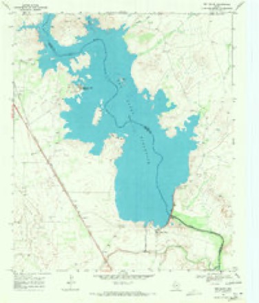
10 topographic sheets cover this place, the earliest surveyed in 1925 and the latest in 1986. It stands in the Pecos census division. The Survey maps it on the Red Bluff quadrangle.
Topographic sheets covering this place
6 surveys from 10 printed sheetsMatched by testing this settlement's coordinate against the published boundary of every sheet in the United States Geological Survey's historical collection. Each opens the scanned sheet at the Survey.
- 1925 USGS Orla 2-b quadrangle1:48000
- 1931 USGS Orla quadrangle1:62500, 2 printings
- 1954 USGS Pecos quadrangle1:250000, 3 printings
- 1957 USGS Pecos quadrangle1:250000
- 1968 USGS Red Bluff quadrangle1:24000
- 1986 USGS Kermit quadrangle1:100000, 2 printings
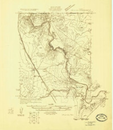
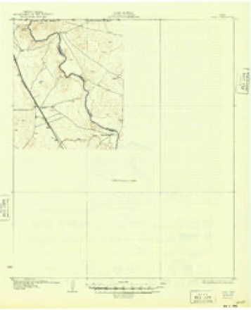
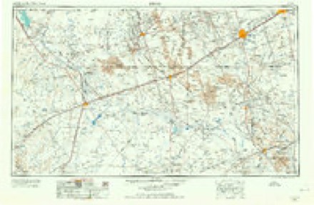
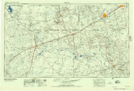
Storms near this place
4 since 2014Regional context, not property-specific evidence. The National Weather Service names Angeles in 4 storm reports between 2014 and 2025: 2 flood, 2 hail. No death or injury is recorded in these reports. Each account below is quoted exactly as the forecast office filed it, from the NOAA Storm Events Database, and each date opens the federal record of that event.
| When | Event | Place named | Harm | What the report says |
|---|---|---|---|---|
| September 2014 | Flood | Angeles | $500 | Local Emergency Manager continued to report several roads closed along the Pecos River in Reeves County including Highway 302 between Mentone and Highway 285. Roads were closed due to elevated flows along the Pecos River cause by significant rainfall around the area. |
| September 2014 | Flood | Angeles | $500 | Local Emergency Manager continued to report road closures from elevated flows along the Pecos River from Red Bluff Reservoir to the city of Pecos. One of the roads being US 302 between Mentone and US 285. Elevated flows were caused by significant rainfall around the area. |
| May 2025 | Hail | Angeles | - | Storm chaser reported hail up to the size of golf balls. |
| June 2024 | Hail | Angeles | - | A spotter reported dime to quarter size hail. |
Nearest settlements
The eight closest, with where each one stands in the county. Distances are straight-line, computed from the Geographic Names Information System coordinates.
| Map | Place | Distance | Sheets |
|---|---|---|---|
| Red Bluff | 2.4 miles | 10 | |
| Robinson Arms Landing | 4.3 miles | 10 | |
| Orla | 6.0 miles | 9 | |
| Riverton | 14.4 miles | 10 | |
| Arno | 23.9 miles | 8 | |
| Burchard Place | 28.0 miles | 7 | |
| Hermosa | 40.0 miles | 8 | |
| Pecos | 41.3 miles | 9 |
Elsewhere
Matched on this settlement's Geographic Names Information System number rather than its name, so it cannot be a different place of the same name in another state.
| Wikidata item Q122590554 | The structured record the population and elevation above come from. Public domain (CC0). |
Provenance
This settlement is recorded in the Geographic Names Information System as feature 1379348. The sheet list is computed by point-in-boundary test against the United States Geological Survey's historical topographic inventory. Both are works of the United States government and carry no copyright under 17 U.S.C. 105.
Storms. NOAA National Centers for Environmental Information, Storm Events Database https://www.ncei.noaa.gov/stormevents/ A work of the United States government, no copyright under 17 U.S.C. 105. Narratives are quoted verbatim from the National Weather Service report and are not edited or summarised.