 Block
BlockOrla, Texas
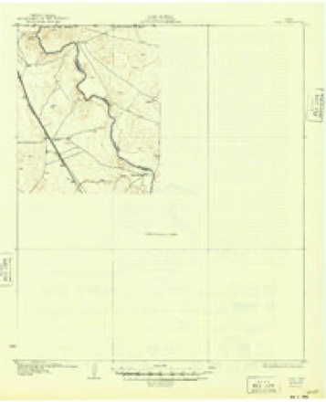
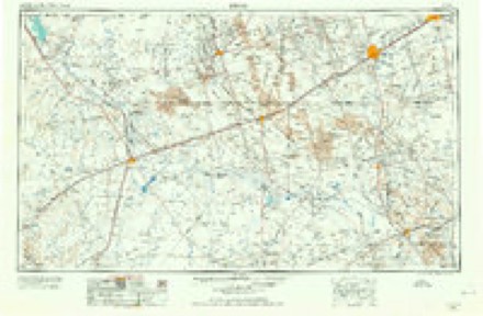
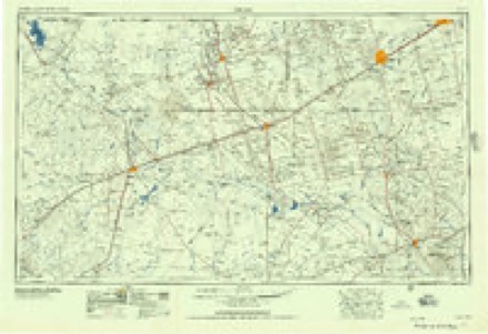
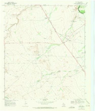
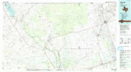
9 topographic sheets cover this place, the earliest surveyed in 1931 and the latest in 1986. It stands in the Pecos census division. It lies in ZIP code area 79770. The Survey maps it on the Orla quadrangle. It stands 2,867 feet above sea level.
Topographic sheets covering this place
5 surveys from 9 printed sheetsMatched by testing this settlement's coordinate against the published boundary of every sheet in the United States Geological Survey's historical collection. Each opens the scanned sheet at the Survey.
- 1931 USGS Orla quadrangle1:62500, 2 printings
- 1954 USGS Pecos quadrangle1:250000, 3 printings
- 1957 USGS Pecos quadrangle1:250000
- 1968 USGS Orla quadrangle1:24000
- 1986 USGS Kermit quadrangle1:100000, 2 printings
Fires near this place
1 since 2006Regional context, not property-specific evidence. The federal wildfire occurrence database lists 1 fire within 5 miles of Orla in 2006, burning about 60 acres in total. None started naturally. None was recorded as arson. Distance is straight-line from the map coordinates, so a fire counted here may appear on a neighbouring settlement's page as well.
| Reported cause | Fires |
|---|---|
| Missing data/not specified/undetermined | 1 |
The most recent of them, most recent first, with the day each was reported and the service that recorded it.
| Date | Cause | Size | Reported by | Name on the report |
|---|---|---|---|---|
| 1 January 2006 | Missing data/not specified/undetermined | 60 acres | Texas A & M Forest Service | not named |
Settlements close enough to share some of these fires:
Storms near this place
36 since 1995Regional context, not property-specific evidence. The National Weather Service names Orla in 36 storm reports between 1995 and 2019: 20 hail, 6 flash flood, 5 thunderstorm wind, 3 flood. No death or injury is recorded in these reports. Each account below is quoted exactly as the forecast office filed it, from the NOAA Storm Events Database, and each date opens the federal record of that event.
| When | Event | Place named | Harm | What the report says |
|---|---|---|---|---|
| September 2014 | Flood | Orla | $500,000 | Heavy rain fell across Reeves County and produced flooding along the Pecos River. Flooding continued along the Pecos River from Orla to the city of Pecos over several days. The cost of damage is a very rough estimate. |
| September 2014 | Flood | Orla | $500,000 | Heavy rain fell across Reeves County and produced flooding along the Pecos River. Local emergency management officials were continuing to report flooding along the Pecos River from Orla to the city of Pecos. Mandatory evacuations were issued from the Pecos River to U.S. Highway 285. Emergency management in Loving County reported minor flooding on the western side of Mentone. The cost of damage is a very rough estimate. |
| September 2004 | Flash Flood | Orla | $25,000 | At 10:30 CST residents in Orla reported high water that inundated yards and threatened homes. Water in the streets of Orla flowed one foot deep. No major damage was reported. A National Weather Service Cooperative Observer west of Red Bluff Dam reported flood waters crossing U.S. Highway 285 in northern Reeves County at 10:40 CST. Five to six feet of water was reported flowing over County Road 447 five miles north of Orla at 15:45 CST. At that time, the Red Bluff Dam Cooperative Observer reported a forty-eight hour rainfall total of five inches.The heavy rainfall ended over most of Reeves County by late afternoon. Runoff continued to result in flash flooding through mid evening. The last report that was received indicated that three feet of water continued to flow over County Road 447 north of Orla at 18:00 CST. |
| October 2002 | Flash Flood | Orla | $10,000 | A vehicle was stalled in high water on Highway 285 in Orla. Over four feet of water covered the roadway. |
| September 2014 | Flash Flood | Orla | $7,000 | Heavy rain moved across Reeves County and produced flash flooding in Orla. Roads in Orla were damaged from the flowing water. The cost of damage is a very rough estimate. |
| April 2012 | Thunderstorm Wind | Orla | $6,000 | A thunderstorm moved over Orla and produced winds over 60 mph which resulted in broken poles. |
| October 1998 | Hail | Orla | $1,000 | This storm broke out windows at the Orla Post Office before going on to produce a tornado to the northeast of Orla. |
| September 2014 | Flood | Orla | $500 | Heavy rains from the previous week of rainfall kept elevated flows along the Pecos River from Red Bluff southward to the city of Pecos. Roads remained closed with water flowing over the roads in the areas near the Pecos River. |
| September 2014 | Flash Flood | Orla | $500 | Heavy rain fell across Reeves County and produced flash flooding in the northern part of the county. Farm to Market roads 652 and 2119 as well as U.S. Highway 285 were flooded. The cost of damage is a very rough estimate. |
| June 2003 | Thunderstorm Wind | Orla | $100 | Severe thunderstorm winds ripped a door from the hinges on a residential structure. |
| May 2017 | Thunderstorm Wind | Orla | - | A thunderstorm moved across Reeves County and produced a 59 mph wind gust eleven miles southeast of Orla. |
| September 2017 | Thunderstorm Wind | Orla | - | A thunderstorm moved across Reeves County and produced a 60 mph wind gust and pea sized hail in Orla. |
| April 2012 | Hail | Orla | - | A severe thunderstorm produced tennis ball sized hail seven miles north of Orla. Winds between 50 and 60 mph occured on State Road 25. |
| March 2005 | Thunderstorm Wind | Orla | - | Law enforcement officials reported that 60 to 70 MPH severe thunderstorm wind gusts accompanied large hail south of Orla. |
| March 2005 | Hail | Orla | - | Officials in Reeves County reported half dollar size hail that accumulated three inches deep along a three mile stretch of U.S. Highway 285 southeast of Orla. |
| April 2005 | Hail | Orla | - | Quarter to half dollar size hail accumulated to a depth of three inches along U.S. Highway 285 northwest of that highway's intersection with Texas Highway 302. The hail was discovered more than an hour after the storm passed this location, so the actual size of the falling hail was likely larger than indicated. Event time is based on radar. |
| June 2005 | Hail | Orla | - | Multiple reports were received of golfball size hail from U.S. Highway 285 north of Orla to Red Bluff Dam on the Reeves and Loving County line. |
| June 2005 | Hail | Orla | - | Law enforcement officials and trained storm spotters reported golfball size hail in Orla. No damage was reported. |
| October 2004 | Hail | Orla | - | The public reported large hail in Orla. |
| June 2003 | Hail | Orla | - | Reported along Highway 285. |
| April 2002 | Hail | Orla | - | Storm spotters reported hail covering the ground along Highway 652. |
| August 2002 | Flash Flood | Orla | - | A trained spotter reported flash flooding. This flooding resulted in up to six inches of water covering the road near the intersection of U.S. Highway 285 and County Road 436. |
| October 2002 | Hail | Orla | - | Law officials driving through Orla reported dime size hail covering the ground at 0414 CST. This was more than two hours after the severe storm moved through the area. Since the hail had been melting for several hours, it is likely the hail was actually significantly larger than indicated. Time of the actual hail event is estimated based on radar data. |
| April 1999 | Hail | Orla | - | Right-split of a cell that developed in northeastern Culberson County. This storm moved very little over a 2 hour period, while its pair moved quickly north into Eddy County, NM. This storm showed very strong rotation on doppler radar. The hail sampling was approximately 3-5 miles east of the updraft. |
| April 1999 | Tornado (F2) | Orla | - | This tornado formed from a very young cell that became a small classic supercell very quickly. The cell was on the southern end of a small cluster of cells. The tornado formed near the Pecos River in extreme eastern Reeves County and crossed into western Loving County. As the tornado crossed the river the largest vegetation in the area, lines of Salt Cedar trees were snapped or uprooted. Many of these trees were well established and approximately 25-30 feet tall. The funnel exhibited a condensation funnel to the ground for much of its life. |
| April 1999 | Hail | Orla | - | This storm was the strongest cell in a cluster that formed to the west of the tornadic cell. This report came from the shore of Red Bluff Reservoir. The previously tornadic cell merged with this cluster in southern Eddy County, NM. |
| June 1999 | Flash Flood | Orla | - | An upper level disturbance interacted with copious amounts of Pacific moisture from Hurricane Adrian, located south of Baja Mexico, to produce late evening thunderstorms in Southeast New Mexico. These storms moved south from Eddy county into Reeves county and dropped very heavy rain near Orla. Radar indicated rainfall rates of 2 inches per hour. High water was reported in Orla just after midnight CST, with a car caught in rising water at FM 652 and County road 457 twenty minutes later. The occupants were rescued. |
| October 1998 | Tornado (F1) | Orla | - | A spotter reported to Emergency Management Officials that a large tornado formed northeast of Orla and lasted about 5-6 minutes. This storm was a right-moving supercell that had persisted for over two hours. No damage was reported as the tornado was over open country. |
| May 1995 | Hail | Orla | - | Reports by public and USDA officials. Tornado reported by public near Lake Balmorhea. Golf ball-size hail fell along U.S. Highway 285 and nickel-size hail fell along State Highway 17. |
| March 2019 | Hail | Orla | - | no account filed |
| March 2019 | Hail | Orla | - | no account filed |
| March 2019 | Hail | Orla | - | no account filed |
| April 2012 | Hail | Orla | - | no account filed |
| September 2004 | Hail | Orla | - | no account filed |
| June 2003 | Hail | Orla | - | no account filed |
| May 1999 | Hail | Orla | - | no account filed |
Nearest settlements
The eight closest, with where each one stands in the county. Distances are straight-line, computed from the Geographic Names Information System coordinates.
| Map | Place | Distance | Sheets |
|---|---|---|---|
| Red Bluff | 4.8 miles | 10 | |
| Angeles | 6.0 miles | 10 | |
| Riverton | 8.8 miles | 10 | |
| Robinson Arms Landing | 10.0 miles | 10 | |
| Arno | 18.3 miles | 8 | |
| Burchard Place | 22.3 miles | 7 | |
| Hermosa | 34.0 miles | 8 | |
| Pecos | 35.4 miles | 9 |
Elsewhere
Matched on this settlement's Geographic Names Information System number rather than its name, so it cannot be a different place of the same name in another state.
| Wikipedia article on Orla | An encyclopaedic summary. Its text is share-alike, so it is linked here rather than copied. |
| Wikidata item Q7102977 | The structured record the population and elevation above come from. Public domain (CC0). |
Provenance
This settlement is recorded in the Geographic Names Information System as feature 1364585. The sheet list is computed by point-in-boundary test against the United States Geological Survey's historical topographic inventory. Both are works of the United States government and carry no copyright under 17 U.S.C. 105.
Wildfire. Short, Karen C. 2022. Spatial wildfire occurrence data for the United States, 1992-2020 [FPA_FOD_20221014]. 6th Edition. Fort Collins, CO: Forest Service Research Data Archive. https://doi.org/10.2737/RDS-2013-0009.6 Collected with United States Government funding and usable without additional permissions or fees.
Storms. NOAA National Centers for Environmental Information, Storm Events Database https://www.ncei.noaa.gov/stormevents/ A work of the United States government, no copyright under 17 U.S.C. 105. Narratives are quoted verbatim from the National Weather Service report and are not edited or summarised.