 Block
BlockBurris, Texas
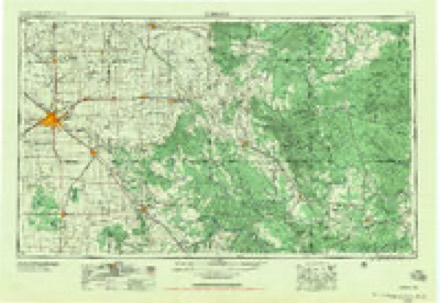
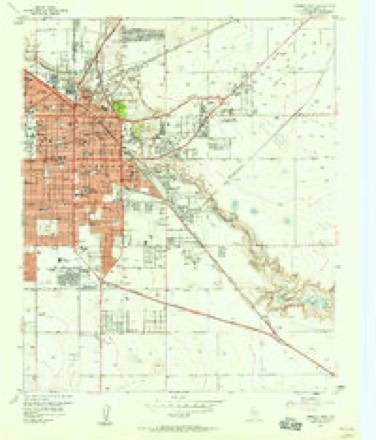
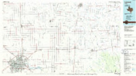
11 topographic sheets cover this place, the earliest surveyed in 1954 and the latest in 1986. It stands in the Lubbock census division. It lies in ZIP code area 79404. The Survey maps it on the Lubbock East quadrangle.
Topographic sheets covering this place
4 surveys from 11 printed sheetsMatched by testing this settlement's coordinate against the published boundary of every sheet in the United States Geological Survey's historical collection. Each opens the scanned sheet at the Survey.
- 1954 USGS Lubbock quadrangle1:250000, 4 printings
- 1957 USGS Lubbock quadrangle1:62500
- 1957 USGS Lubbock East quadrangle1:24000, 4 printings
- 1986 USGS Lubbock quadrangle1:100000, 2 printings

Fires near this place
113 since 2006Regional context, not property-specific evidence. The federal wildfire occurrence database lists 113 fires within 5 miles of Burris between 2006 and 2017, burning about 288 acres in total. 1 started naturally. 2 were recorded as arson. Distance is straight-line from the map coordinates, so a fire counted here may appear on a neighbouring settlement's page as well.
| Reported cause | Fires |
|---|---|
| Missing data/not specified/undetermined | 73 |
| Debris and open burning | 15 |
| Smoking | 7 |
| Power generation/transmission/distribution | 5 |
| Railroad operations and maintenance | 4 |
| Equipment and vehicle use | 3 |
| Recreation and ceremony | 3 |
| Arson/incendiarism | 2 |
| Natural | 1 |
The most recent of them, most recent first, with the day each was reported and the service that recorded it.
| Date | Cause | Size | Reported by | Name on the report |
|---|---|---|---|---|
| 7 September 2013 | Debris and open burning | under an acre | Texas A & M Forest Service | CR 272 & FM 831 |
| 7 September 2011 | Missing data/not specified/undetermined | under an acre | Texas A & M Forest Service | 2802 INTERSTATE HWY 27 |
| 29 September 2011 | Missing data/not specified/undetermined | under an acre | Texas A & M Forest Service | 1902 56TH STREET |
| 28 September 2011 | Missing data/not specified/undetermined | 2.0 acres | Texas A & M Forest Service | GRASS FIRE |
| 1 September 2012 | Missing data/not specified/undetermined | under an acre | Texas A & M Forest Service | 310 50TH STREET |
| 31 August 2011 | Missing data/not specified/undetermined | under an acre | Texas A & M Forest Service | 3437 SE LOOP 289 |
| 3 August 2011 | Missing data/not specified/undetermined | under an acre | Texas A & M Forest Service | 5801 AVENUE U |
| 20 August 2010 | Debris and open burning | 1.0 acres | Texas A & M Forest Service | SMALL GRASS FIRE |
Settlements close enough to share some of these fires:
Mines and quarries near this place
3 within 5 milesRegional context, not property-specific evidence. The federal mineral resources record lists 3 workings within 5 miles of Burris: 2 producers, 1 unknown. 2 still produce. What was taken out: Stone, Crushed/Broken. Distance is straight-line from the map coordinates, so a quarry counted here may appear on a neighbouring settlement's page as well.
| Where | Site | Commodity | Status | Recorded |
|---|---|---|---|---|
| Gray Pit | Stone, Crushed/Broken | Unknown | ||
| H L Stafford Const Co Pit | Stone, Crushed/Broken | Producer | ||
| Zahn Pavers Caliche Pit | Stone, Crushed/Broken | Producer |
Storms near this place
10 since 2008Regional context, not property-specific evidence. The National Weather Service names Burris in 10 storm reports between 2008 and 2024: 3 flood, 2 hail, 2 thunderstorm wind, 2 flash flood. No death or injury is recorded in these reports. Each account below is quoted exactly as the forecast office filed it, from the NOAA Storm Events Database, and each date opens the federal record of that event.
| When | Event | Place named | Harm | What the report says |
|---|---|---|---|---|
| May 2008 | Hail | Burris | $15,000 | The public reported that tennis ball size hail damaged vehicles along U.S. Highway 84 on the southeast side of Lubbock. |
| August 2016 | Thunderstorm Wind | Burris | $10,000 | A portion of the roof to the Coors Distributors main office was blown off during a wet downburst. The extent of rain damage to the office's contents was not known. |
| November 2024 | Flash Flood | Burris | - | Runoff from heavy rainfall over the city of Lubbock early in the morning of the 18th made its way into the North Fork Double Mountain Fork Brazos River beginning on the east side of the city of Lubbock. This water eventually moved downstream into Buffalo Springs Lake. The emergency manager for Buffalo Springs Lake reported two feet of water flowing over Farm to Market Road 835 west of the lake. The emergency manager reported that the road had to be closed. |
| May 2022 | Thunderstorm Wind | Burris | - | A swath of severe thunderstorm winds were observed from southeastern Lubbock to Slaton. A Texas Tech University West Texas mesonet site in southeast Lubbock measured a wind gust of 63 mph at 2030 CST. At 2041 CST, a mesonet site near Slaton measured a wind gust to 59 mph. |
| August 2021 | Heavy Rain | Burris | - | Heavy rainfall over central Lubbock County from Friday evening through Saturday morning caused a rise in the Double Mountain Fork of the Brazos River. Up to two feet of water was reportedly flowing over Farm to Market Road 835 west of Buffalo Springs Lake prompting the closure of the roadway. A USGS gage upstream of this location measured streamflow of up to 1200 cfs. |
| June 2017 | Flood | Burris | - | Sections of FM Road 835 and County Road 7000 flooded and were eventually closed by Texas DPS officials shortly after midnight CST on July 1st. The flooded roads focused along the west end of Buffalo Springs Lake. |
| July 2017 | Flash Flood | Burris | - | Sections of FM Road 835 and County Road 7000 began to flood before midnight CST on July 1st, and continued to see rising waters for a short while later. The flash flooding was focused primarily along the west end of Buffalo Springs Lake. The roads were eventually re-opened by daybreak once floodwaters had fully receded. |
| October 2015 | Flood | Burris | - | A portion of Farm-to-Market Road 835 at Buffalo Springs Lake was closed for several hours due to high water. |
| June 2009 | Hail | Burris | - | Multiple reports of hail up to the size of quarters were received from portions of east Lubbock as scattered thunderstorms began to intensify along a pre-existing outflow boundary. |
| May 2014 | Flood | Burris | - | no account filed |
Nearest settlements
The eight closest, with where each one stands in the county. Distances are straight-line, computed from the Geographic Names Information System coordinates.
| Map | Place | Distance | Sheets |
|---|---|---|---|
| Buffalo Springs Lake | 3.8 miles | 8 | |
| Posey | 4.7 miles | 8 | |
| Ransom Canyon | 5.3 miles | 8 | |
| Canyon | 5.3 miles | 8 | |
| Lubbock | 5.4 miles | 11 | |
| Woodrow | 6.4 miles | 10 | |
| Roosevelt | 6.8 miles | 8 | |
| Union | 7.7 miles | 10 |
Provenance
This settlement is recorded in the Geographic Names Information System as feature 1379485. The sheet list is computed by point-in-boundary test against the United States Geological Survey's historical topographic inventory. Both are works of the United States government and carry no copyright under 17 U.S.C. 105.
Wildfire. Short, Karen C. 2022. Spatial wildfire occurrence data for the United States, 1992-2020 [FPA_FOD_20221014]. 6th Edition. Fort Collins, CO: Forest Service Research Data Archive. https://doi.org/10.2737/RDS-2013-0009.6 Collected with United States Government funding and usable without additional permissions or fees.
Mines and quarries. USGS Mineral Resources Data System (MRDS) https://mrdata.usgs.gov/mrds/ A work of the United States government, no copyright under 17 U.S.C. 105.
Storms. NOAA National Centers for Environmental Information, Storm Events Database https://www.ncei.noaa.gov/stormevents/ A work of the United States government, no copyright under 17 U.S.C. 105. Narratives are quoted verbatim from the National Weather Service report and are not edited or summarised.