 Block
BlockWoodrow, Texas
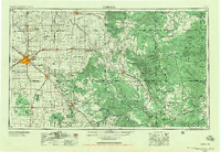
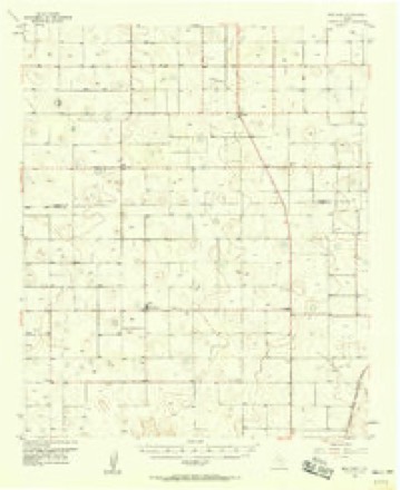
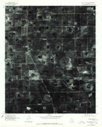
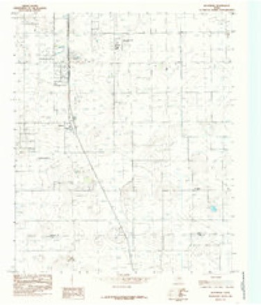
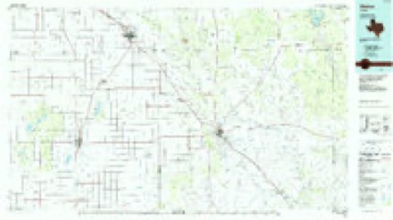
10 topographic sheets cover this place, the earliest surveyed in 1954 and the latest in 1986. It stands in the Lubbock census division. It lies in ZIP code area 79423. The Survey maps it on the Woodrow quadrangle.
Topographic sheets covering this place
5 surveys from 10 printed sheetsMatched by testing this settlement's coordinate against the published boundary of every sheet in the United States Geological Survey's historical collection. Each opens the scanned sheet at the Survey.
- 1954 USGS Lubbock quadrangle1:250000, 4 printings
- 1957 USGS New Home quadrangle1:62500
- 1976 USGS New Home NE quadrangle1:24000, 2 printings
- 1985 USGS Woodrow quadrangle1:24000
- 1986 USGS Slaton quadrangle1:100000, 2 printings
Fires near this place
37 since 2009Regional context, not property-specific evidence. The federal wildfire occurrence database lists 37 fires within 5 miles of Woodrow between 2009 and 2018, burning about 765 acres in total. None started naturally. 2 were recorded as arson. Distance is straight-line from the map coordinates, so a fire counted here may appear on a neighbouring settlement's page as well.
| Reported cause | Fires |
|---|---|
| Debris and open burning | 16 |
| Missing data/not specified/undetermined | 10 |
| Equipment and vehicle use | 6 |
| Arson/incendiarism | 2 |
| Smoking | 1 |
| Misuse of fire by a minor | 1 |
| Power generation/transmission/distribution | 1 |
The most recent of them, most recent first, with the day each was reported and the service that recorded it.
| Date | Cause | Size | Reported by | Name on the report |
|---|---|---|---|---|
| 29 September 2011 | Missing data/not specified/undetermined | 500 acres | Texas A & M Forest Service | COUNTY FARM 2 |
| 31 July 2009 | Debris and open burning | 1.0 acres | Texas A & M Forest Service | CR 7700 |
| 3 July 2009 | Debris and open burning | 1.0 acres | Texas A & M Forest Service | RODRIGUEZ |
| 15 July 2009 | Debris and open burning | 1.0 acres | Texas A & M Forest Service | GOODMAN |
| 5 June 2009 | Debris and open burning | 1.0 acres | Texas A & M Forest Service | DEATHERAGE |
| 4 June 2009 | Debris and open burning | 1.0 acres | Texas A & M Forest Service | HARDEN |
| 28 June 2009 | Missing data/not specified/undetermined | 2.0 acres | Texas A & M Forest Service | CANLES |
| 27 June 2009 | Missing data/not specified/undetermined | 2.0 acres | Texas A & M Forest Service | 140TH ST |
Settlements close enough to share some of these fires:
Mines and quarries near this place
2 within 5 milesRegional context, not property-specific evidence. The federal mineral resources record lists 2 workings within 5 miles of Woodrow: 2 producers. All of them still produce. What was taken out: Stone, Crushed/Broken. Distance is straight-line from the map coordinates, so a quarry counted here may appear on a neighbouring settlement's page as well.
| Where | Site | Commodity | Status | Recorded |
|---|---|---|---|---|
| Kerr Caliche Pits | Stone, Crushed/Broken | Producer | ||
| Vardeman Pit | Stone, Crushed/Broken | Producer |
Storms near this place
24 since 1994Regional context, not property-specific evidence. The National Weather Service names Woodrow in 24 storm reports between 1994 and 2025: 17 hail, 4 thunderstorm wind, 2 flash flood, 1 tornado. No death or injury is recorded in these reports. Each account below is quoted exactly as the forecast office filed it, from the NOAA Storm Events Database, and each date opens the federal record of that event.
| When | Event | Place named | Harm | What the report says |
|---|---|---|---|---|
| May 2015 | Hail | Woodrow | $200,000,000 | A supercell storm erupted near Ropesville in extreme instability and went on to produce a significant hail swath across south-central and southeast Lubbock County where giant hail to softball size occurred in Slaton. Damage to homes, businesses, vehicles, and wheat crops was common from two miles east of Woodrow to Ransom Canyon. In addition to the hail, strong rear flank downdraft winds picked up gravel in Slaton and blew out dozens of windows in cars and buildings. Combined damage estimates would likely reach $300M. |
| May 2020 | Hail | Woodrow | $100,000,000 | A thunderstorm developed along an outflow boundary in Lynn County and rapidly grew into a severe supercell thunderstorm as it moved northward toward the city of Lubbock. This storm quickly began to rotate anticyclonically as it moved into the southern portion of Lubbock County. As the storm entered the southern portion of the city of Lubbock numerous reports were initially received of hail up to baseball size. The largest hail stone reported was three inches in diameter. The storm continued to move northward through the central part of the city producing hail up to tennis ball size. The swath of giant hail ended around Lubbock Preston Smith International Airport at 1819 CST. While this initial storm was affecting the central portion of the city, a second severe thunderstorm developed over Wolfforth and moved to the northeast. This storm produced hail up to two inches in diameter from just east of Wolfforth to Texas Tech University. In the aftermath, numerous vehicles and roofs on homes were damaged, primarily from the initial thunderstorm that moved through the central part of Lubbock. Total losses were estimated at over $100 million. |
| May 1994 | Thunderstorm Wind | Woodrow | $50,000 | Thunderstorm winds blew cars off a road near Needmore and blew down utility poles on United States Highway 84 near Muleshoe. In Lubbock County, a severe thunderstorm caused a microburst that affected an area just north and west of Woodrow. The wind blew a 12-foot steel pole 300 yards and into a garage, seriously damaging the garage and a restored antique car parked in the garage. A metal shed was destroyed, three RV's were damaged and a van was turned upside down. Several telephone poles were broken. Area damages were estimated at $60,000. |
| May 1994 | Thunderstorm Wind | Woodrow | $50,000 | Thunderstorm winds blew cars off a road near Needmore and blew down utility poles on United States Highway 84 near Muleshoe. In Lubbock County, a severe thunderstorm caused a microburst that affected an area just north and west of Woodrow. The wind blew a 12-foot steel pole 300 yards and into a garage, seriously damaging the garage and a restored antique car parked in the garage. A metal shed was destroyed, three RV's were damaged and a van was turned upside down. Several telephone poles were broken. Area damages were estimated at $60,000. |
| May 1994 | Hail | Woodrow | $5,000 | Thunderstorm winds blew cars off a road near Needmore and blew down utility poles on United States Highway 84 near Muleshoe. In Lubbock County, a severe thunderstorm caused a microburst that affected an area just north and west of Woodrow. The wind blew a 12-foot steel pole 300 yards and into a garage, seriously damaging the garage and a restored antique car parked in the garage. A metal shed was destroyed, three RV's were damaged and a van was turned upside down. Several telephone poles were broken. Area damages were estimated at $60,000. |
| August 2025 | Thunderstorm Wind | Woodrow | - | A swath of severe winds and wind damage occurred across the city of Lubbock from near All Saints Episcopal School to Lubbock Christian University. Several Texas Tech University West Texas mesonet sites within the city of Lubbock reported severe wind gusts from 1530 CST through 1628 CST. A peak wind gust of 77 mph was measured at 1623 CST on the campus of Lubbock Christian University. Additionally, a roof was blown off of an apartment complex near the intersection of 66th Street and Quaker Avenue. |
| May 2024 | Hail | Woodrow | - | The Woodrow volunteer fire department reported hail ranging from quarter size to the size of half dollars. |
| May 2024 | Hail | Woodrow | - | A public report was received of ping pong ball size hail northwest of Woodrow. |
| November 2024 | Flash Flood | Woodrow | - | Additional thunderstorms moved over the city of Lubbock on the evening of the second. These storms produced heavy rainfall in a short amount of time across an area that already experienced flash flooding earlier in the day. These additional thunderstorms created flash flooding across the southern portion of the city of Lubbock. |
| August 2022 | Flash Flood | Woodrow | - | Photographs on social media showed that a portion of US Highway 87 near Farm to Market Road 41 was flooded. |
| May 2020 | Thunderstorm Wind | Woodrow | - | Social media posts depicted minor thunderstorm wind damage around Woodrow to near New Home in Lynn County. |
| April 2013 | Tornado (EF0) | Woodrow | - | A landspout tornado formed along an outflow boundary from a microburst near Lubbock-Cooper High School in southern Lubbock County. The landspout remained in an open field for the duration of the event. |
| April 2012 | Hail | Woodrow | - | A trained spotter reported two inch hail covering the ground. No damage was reported. |
| May 2008 | Hail | Woodrow | - | A local gin operator reported that approximately 100 acres of young cotton plants were destroyed by hail southeast of Woodrow around 17:45 CST. |
| May 2008 | Hail | Woodrow | - | Numerous reports, including multiple reports from National Weather Service meteorologists, indicated that large hail up to the size of quarters accompanied a splitting supercell storm from the intersection of U.S. Highway 87 and Farm to Market Road 1585 just north of Woodrow northeastward over southeastern portions of Lubbock. Nickel size hail also was observed falling along south Loop 289 at the Science Spectrum. At least two additional reports of very large hail were observed within this storm's hail swath. |
| May 2006 | Hail | Woodrow | - | Golfball size hail was reported in Woodrow. The hail accompanied a tornadic supercell thunderstorm that tracked east along the Lubbock and Lynn County border. |
| May 2001 | Hail | Woodrow | - | Amateur radio storm spotters reported half dollar size hail. |
| August 2007 | Hail | Woodrow | - | no account filed |
| May 2005 | Hail | Woodrow | - | no account filed |
| September 2005 | Hail | Woodrow | - | no account filed |
| April 2003 | Hail | Woodrow | - | no account filed |
| February 2000 | Hail | Woodrow | - | no account filed |
| April 2000 | Hail | Woodrow | - | no account filed |
| May 1995 | Hail | Woodrow | - | no account filed |
Nearest settlements
The eight closest, with where each one stands in the county. Distances are straight-line, computed from the Geographic Names Information System coordinates.
Provenance
This settlement is recorded in the Geographic Names Information System as feature 1371924. The sheet list is computed by point-in-boundary test against the United States Geological Survey's historical topographic inventory. Both are works of the United States government and carry no copyright under 17 U.S.C. 105.
Wildfire. Short, Karen C. 2022. Spatial wildfire occurrence data for the United States, 1992-2020 [FPA_FOD_20221014]. 6th Edition. Fort Collins, CO: Forest Service Research Data Archive. https://doi.org/10.2737/RDS-2013-0009.6 Collected with United States Government funding and usable without additional permissions or fees.
Mines and quarries. USGS Mineral Resources Data System (MRDS) https://mrdata.usgs.gov/mrds/ A work of the United States government, no copyright under 17 U.S.C. 105.
Storms. NOAA National Centers for Environmental Information, Storm Events Database https://www.ncei.noaa.gov/stormevents/ A work of the United States government, no copyright under 17 U.S.C. 105. Narratives are quoted verbatim from the National Weather Service report and are not edited or summarised.