 Block
BlockFedor, Texas
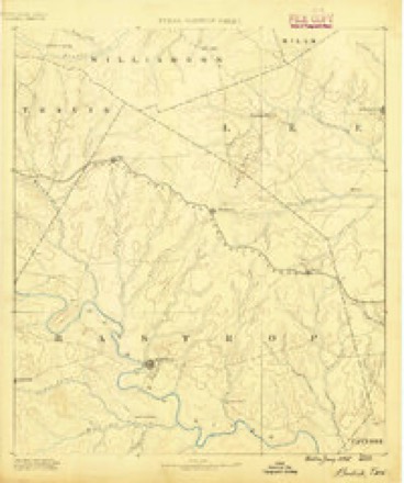
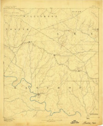
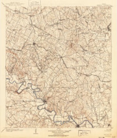
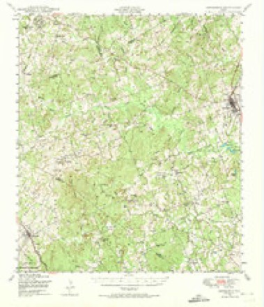
15 topographic sheets cover this place, the earliest surveyed in 1885 and the latest in 1985. It stands in the Lincoln-Dime Box census division. It lies in ZIP code area 78948. It stands on Bluff Creek. The Survey maps it on the Fedor quadrangle.
Topographic sheets covering this place
8 surveys from 15 printed sheetsMatched by testing this settlement's coordinate against the published boundary of every sheet in the United States Geological Survey's historical collection. Each opens the scanned sheet at the Survey.
- 1885 USGS Bastrop quadrangle1:125000
- 1893 USGS Bastrop quadrangle1:125000
- 1904 USGS Bastrop quadrangle1:125000, 3 printings
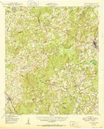
- 1948 USGS Lexington quadrangle1:62500
- 1950 USGS Lexington quadrangle1:62500
- 1954 USGS Austin quadrangle1:250000, 4 printings
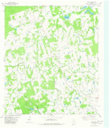
- 1982 USGS Fedor quadrangle1:24000
- 1985 USGS Austin quadrangle1:100000, 3 printings
Fires near this place
60 since 2000Regional context, not property-specific evidence. The federal wildfire occurrence database lists 60 fires within 5 miles of Fedor between 2000 and 2020, burning about 274 acres in total. 2 started naturally. None was recorded as arson. Distance is straight-line from the map coordinates, so a fire counted here may appear on a neighbouring settlement's page as well.
| Reported cause | Fires |
|---|---|
| Debris and open burning | 36 |
| Equipment and vehicle use | 12 |
| Missing data/not specified/undetermined | 5 |
| Smoking | 3 |
| Natural | 2 |
| Power generation/transmission/distribution | 2 |
The most recent of them, most recent first, with the day each was reported and the service that recorded it.
| Date | Cause | Size | Reported by | Name on the report |
|---|---|---|---|---|
| 4 September 2000 | Missing data/not specified/undetermined | 5.0 acres | Texas A & M Forest Service | SOUTH BRANCH - 110 |
| 29 September 2011 | Natural | 4.0 acres | Texas A & M Forest Service | VIRGINIA THORNSEN |
| 27 September 2005 | Debris and open burning | 1.0 acres | Texas A & M Forest Service | not named |
| 26 September 2008 | Debris and open burning | 5.0 acres | Texas A & M Forest Service | not named |
| 22 September 2013 | Debris and open burning | 1.0 acres | Texas A & M Forest Service | PAIGE FIRE |
| 19 September 2011 | Smoking | 1.0 acres | Texas A & M Forest Service | 1624 ROAD FIRE |
| 16 September 2014 | Debris and open burning | 2.0 acres | Texas A & M Forest Service | CR339 FIRE LERCHE |
| 1 September 2008 | Debris and open burning | 1.0 acres | Texas A & M Forest Service | not named |
Settlements close enough to share some of these fires:
Storms near this place
13 since 2000Regional context, not property-specific evidence. The National Weather Service names Fedor in 13 storm reports between 2000 and 2023: 5 flash flood, 4 hail, 3 thunderstorm wind, 1 flood. The reports record 1 death. Each account below is quoted exactly as the forecast office filed it, from the NOAA Storm Events Database, and each date opens the federal record of that event.
| When | Event | Place named | Harm | What the report says |
|---|---|---|---|---|
| March 2012 | Flash Flood | Fedor | 1 killed | Thunderstorms produced heavy rain that caused flash flooding of FM 1624 at West Yegua Creek near Fedor where a vehicle was swept off the road by flood waters. The driver of the vehicle was found dead. |
| August 2017 | Flood | Fedor | $250,000 | The largest impact across Lee County with Harvey was the rainfall where as much as 20 inches fell near Giddings. The southern half of the county experienced the worst flooding with 25 homes being impacted, many of those having experienced major damage. The tropical storm force winds did bring some trees down across the county. Damage from the flooding is estimated to be near 250K dollars. |
| June 2007 | Flash Flood | Fedor | $50,000 | Thunderstorms moved into Lee County shortly after midnight and produced a general 1-2 inch rain over the county. The heaviest amounts were in the Giddings area where 4 inches fell. Flash flooding was widespread across the central part of the county with many rural roads closed. Among those closed due to flash flooding were CR226, CR230, and CR231. |
| October 2000 | Thunderstorm Wind | Fedor | $20,000 | Severe thunderstorm winds knocked over trees and small outbuildings. |
| June 2002 | Thunderstorm Wind | Fedor | $10,000 | Severe thunderstorm winds estimated at over 50 knots blew down numerous large branches from trees. |
| June 2012 | Thunderstorm Wind | Fedor | $1,000 | A thunderstorm produced wind gusts estimated at 50 mph that broke tree limbs up to six inches in diameter. |
| April 2023 | Hail | Fedor | - | A thunderstorm produced nickel size hail west of Fedor. |
| May 2020 | Hail | Fedor | - | A thunderstorm produced quarter to half dollar size hail between Fedor and Lexington. |
| July 2007 | Flash Flood | Fedor | - | Scattered thunderstorms over Lee and Bastrop Counties produced 1 to 2 inch general rain amounts with up to 3 inches north of Lexington. Numerous county roads were closed, including CR309, CR315 and FM112, which was closed near Milam line. |
| March 2007 | Flash Flood | Fedor | - | From 2 to 3 inches of rain fell in the afternoon and evening over western Lee County, closing rural roads for much of the early evening. FM1624 was closed near Fedor. |
| May 2005 | Flash Flood | Fedor | - | A general inch of rain fell between Fedor and Lexington, with up to 6 inches in isolated spots between the two towns. Flash flooding closed FM112, FM696, and FM1624 near Lexington |
| June 2011 | Hail | Fedor | - | no account filed |
| June 2002 | Hail | Fedor | - | no account filed |
Nearest settlements
The eight closest, with where each one stands in the county. Distances are straight-line, computed from the Geographic Names Information System coordinates.
| Map | Place | Distance | Sheets |
|---|---|---|---|
| Leo | 5.0 miles | 9 | |
| Lincoln | 5.1 miles | 9 | |
| Doak Springs | 5.3 miles | 9 | |
| Manheim | 6.0 miles | 16 | |
| Blue | 7.3 miles | 15 | |
| Lexington | 7.4 miles | 15 | |
| Loebau | 8.1 miles | 9 | |
| Knobbs Springs | 8.3 miles | 15 |
Provenance
This settlement is recorded in the Geographic Names Information System as feature 1378288. The sheet list is computed by point-in-boundary test against the United States Geological Survey's historical topographic inventory. Both are works of the United States government and carry no copyright under 17 U.S.C. 105.
Wildfire. Short, Karen C. 2022. Spatial wildfire occurrence data for the United States, 1992-2020 [FPA_FOD_20221014]. 6th Edition. Fort Collins, CO: Forest Service Research Data Archive. https://doi.org/10.2737/RDS-2013-0009.6 Collected with United States Government funding and usable without additional permissions or fees.
Storms. NOAA National Centers for Environmental Information, Storm Events Database https://www.ncei.noaa.gov/stormevents/ A work of the United States government, no copyright under 17 U.S.C. 105. Narratives are quoted verbatim from the National Weather Service report and are not edited or summarised.