 Block
BlockGill, Texas
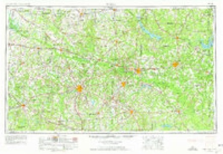
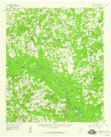
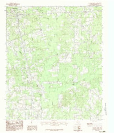
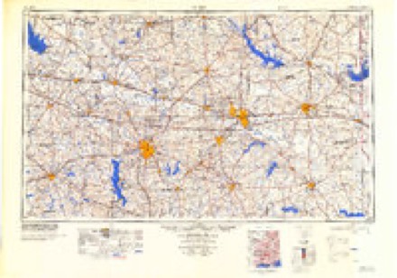
13 topographic sheets cover this place, the earliest surveyed in 1956 and the latest in 1986. It stands in the Waskom census division. It lies in ZIP code area 75672. It stands on Colliers Creek. The Survey maps it on the Colliers Creek quadrangle.
Topographic sheets covering this place
5 surveys from 13 printed sheetsMatched by testing this settlement's coordinate against the published boundary of every sheet in the United States Geological Survey's historical collection. Each opens the scanned sheet at the Survey.
- 1956 USGS Tyler quadrangle1:250000, 5 printings
- 1958 USGS Darco quadrangle1:62500, 2 printings
- 1983 USGS Colliers Creek quadrangle1:24000
- 1984 USGS Tyler quadrangle1:250000, 3 printings
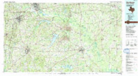
- 1986 USGS Henderson quadrangle1:100000, 2 printings
Fires near this place
146 since 1992Regional context, not property-specific evidence. The federal wildfire occurrence database lists 146 fires within 5 miles of Gill between 1992 and 2019, burning about 1,734 acres in total. 10 started naturally. 9 were recorded as arson. Distance is straight-line from the map coordinates, so a fire counted here may appear on a neighbouring settlement's page as well.
| Reported cause | Fires |
|---|---|
| Debris and open burning | 86 |
| Missing data/not specified/undetermined | 16 |
| Equipment and vehicle use | 12 |
| Natural | 10 |
| Arson/incendiarism | 9 |
| Recreation and ceremony | 4 |
| Misuse of fire by a minor | 3 |
| Fireworks | 3 |
| Power generation/transmission/distribution | 2 |
| Smoking | 1 |
The most recent of them, most recent first, with the day each was reported and the service that recorded it.
| Date | Cause | Size | Reported by | Name on the report |
|---|---|---|---|---|
| 8 September 2000 | Debris and open burning | 1.0 acres | Texas A & M Forest Service | LINDEN - 384 |
| 6 September 2005 | Arson/incendiarism | 9.0 acres | Texas A & M Forest Service | LINDEN - 344 |
| 6 September 2000 | Natural | 8.0 acres | Texas A & M Forest Service | LINDEN - 373 |
| 30 September 2015 | Equipment and vehicle use | 10 acres | Texas A & M Forest Service | 15-0000505 |
| 30 September 2000 | Debris and open burning | 3.0 acres | Texas A & M Forest Service | LINDEN - 472 |
| 30 September 1994 | Equipment and vehicle use | 1.0 acres | Texas A & M Forest Service | not named |
| 29 September 1992 | Arson/incendiarism | 20 acres | Texas A & M Forest Service | not named |
| 26 September 2005 | Arson/incendiarism | 5.0 acres | Texas A & M Forest Service | LINDEN - 396 |
Settlements close enough to share some of these fires:
Storms near this place
18 since 1994Regional context, not property-specific evidence. The National Weather Service names Gill in 18 storm reports between 1994 and 2022: 6 hail, 6 thunderstorm wind, 4 tornado, 2 flash flood. No death or injury is recorded in these reports. Each account below is quoted exactly as the forecast office filed it, from the NOAA Storm Events Database, and each date opens the federal record of that event.
| When | Event | Place named | Harm | What the report says |
|---|---|---|---|---|
| April 2011 | Tornado (EF2) | Gill | $300,000 | A few trees were snapped at their base and had large limbs broken off with the initial touchdown along FM 2625 just west of Highway 59. The tornado continued northeast paralleling FM 2625 causing sporadic tree damage until it reached the intersection of FM 2625 and Taylor Road. The tornado strengthened rapidly in a short timeframe causing EF2 damage to two residential homes and EF1 damage to a third. One house completely lost its roof while another had an entire room destroyed. The third home had its metal roof peeled off while sustaining partial wall failure. Numerous trees in the vicinity of the homes were completely toppled or had their tops sheared off. The tornado continued to the northeast where it intersected Blocker Road near FM 2625 causing various amounts of tree damage to several trees there. The tornado continued to the northeast dissipating over a logging road a mile to the east of Blocker Road. Maximum winds were estimated at 120-125 mph. |
| April 2020 | Tornado (EF1) | Gill | $150,000 | An EF-1 tornado with estimated maximum winds near 105 mph touched down just southwest of the Crossroads community near the intersection of Mercer and Eddington Roads, where several trees were snapped. The tornado continued northeast across FM 31 near Hays Road, where multiple trees were snapped and uprooted. A tree also fell on a home, but fortunately, the residents inside were not injured. The tornado tracked northeast, crossing FM 2525, Webb Rogers Road near Sneed Road, and Ireland Williams Road, snapping numerous large limbs and trees. The tornado crossed Interstate 20 and Highway 80, snapping additional large limbs, before lifting near Bellview Road. |
| May 2015 | Tornado (EF1) | Gill | $75,000 | National Weather Service Storm Survey Team determined that damage across Harrison County was consistent with that of a tornado. An EF1 tornado touched down south of Marshall, Texas and snapped and uprooted numerous trees. A home sustained roof damage when the wind lifted the carport portion of the roof structure. The owner also lost a 30 by 30 foot outbuilding. A warehouse also had some roof damage south of the residence. |
| January 1994 | Thunderstorm Wind | Gill | $500 | Strong winds caused large tree limbs to break. |
| March 2022 | Tornado (EF1) | Gill | - | A weak EF-1 tornado with estimated maximum winds near 90 mph touched down on Blocker Road and snapped/uprooted several softwood trees. The tornado then crossed County Roads 1320, 1312, and 1202 (Old Town Road) before lifting. Multiple trees were snapped and uprooted in a convergent pattern along its path. |
| May 2021 | Thunderstorm Wind | Gill | - | Trees were blown down on Homer Cooper Road west of Highway 59. |
| April 2020 | Thunderstorm Wind | Gill | - | Trees were downed on FM 2625 west near 5 Notch Road. |
| May 2017 | Thunderstorm Wind | Gill | - | Large trees were blown down near the Gill community. |
| April 2016 | Flash Flood | Gill | - | Farm to Market Road 2625 was flooded. High water was swiftly moving over the roadway. |
| April 2016 | Flash Flood | Gill | - | High water was flowing across Farm to Market Road 1186. |
| April 2015 | Hail | Gill | - | One inch hail fell at the intersection of Hwy. 59 and FM. 1186. |
| May 2011 | Hail | Gill | - | Hail fell two miles south of Gil on U.S. 59. |
| October 2010 | Thunderstorm Wind | Gill | - | A tree was downed on Hwy. 31 12 miles south of Marshall, Texas. |
| February 2009 | Thunderstorm Wind | Gill | - | A tree was downed on U.S. Hwy. 59 just north of the Panola County line. |
| January 1994 | Hail | Gill | - | Strong winds caused large tree limbs to break. |
| April 2017 | Hail | Gill | - | no account filed |
| March 2002 | Hail | Gill | - | no account filed |
| January 1994 | Hail | Gill | - | no account filed |
Nearest settlements
The eight closest, with where each one stands in the county. Distances are straight-line, computed from the Geographic Names Information System coordinates.
| Map | Place | Distance | Sheets |
|---|---|---|---|
| Darco | 5.1 miles | 14 | |
| Crossroads | 6.7 miles | 14 | |
| Elysian Fields | 8.5 miles | 13 | |
| Bel Air | 8.8 miles | 12 | |
| Quiney | 9.9 miles | 12 | |
| Stricklin Springs | 10.3 miles | 14 | |
| Marshall | 10.6 miles | 12 | |
| Jasper Heights | 10.6 miles | 12 |
Provenance
This settlement is recorded in the Geographic Names Information System as feature 1379833. The sheet list is computed by point-in-boundary test against the United States Geological Survey's historical topographic inventory. Both are works of the United States government and carry no copyright under 17 U.S.C. 105.
Wildfire. Short, Karen C. 2022. Spatial wildfire occurrence data for the United States, 1992-2020 [FPA_FOD_20221014]. 6th Edition. Fort Collins, CO: Forest Service Research Data Archive. https://doi.org/10.2737/RDS-2013-0009.6 Collected with United States Government funding and usable without additional permissions or fees.
Storms. NOAA National Centers for Environmental Information, Storm Events Database https://www.ncei.noaa.gov/stormevents/ A work of the United States government, no copyright under 17 U.S.C. 105. Narratives are quoted verbatim from the National Weather Service report and are not edited or summarised.